Afghanistan PowerPoint Maps: Craft Compelling Geographic Stories


Type: PowerPoint Maps template
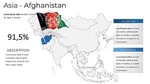
Category: Asia
Sources Available: .pptx
Product ID: PM00239
Template incl.: 36 editable slides
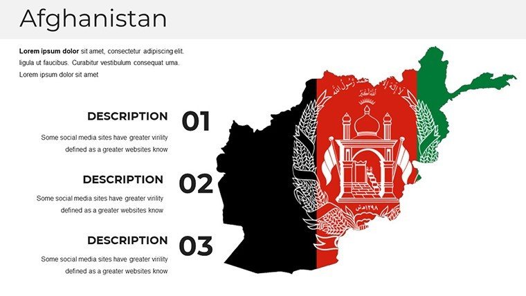
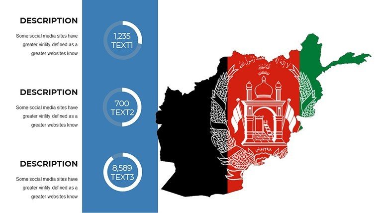
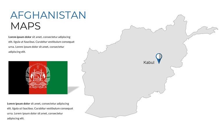
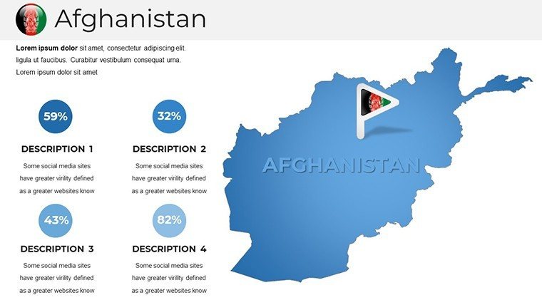
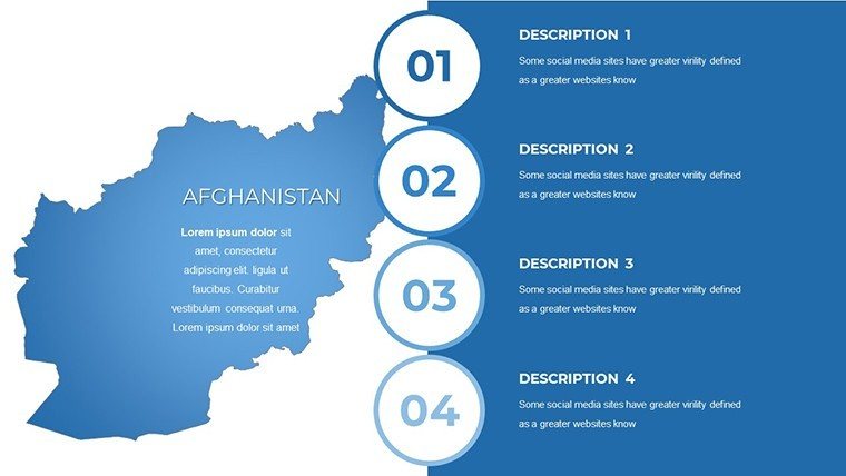
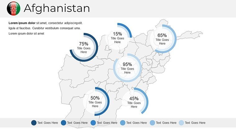
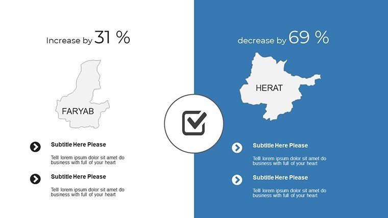
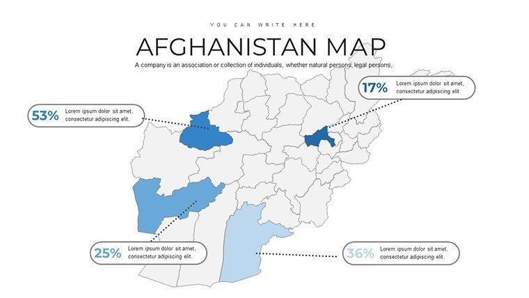
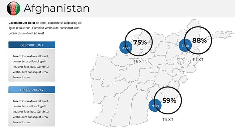
Step into a world where Afghanistan's rugged mountains and ancient cities come alive on your slides. Our Afghanistan PowerPoint maps template, featuring 36 editable slides, is designed for those who need to convey depth - from data analysts tracking socioeconomic trends in Kabul to educators exploring the Silk Road's legacy through Bamiyan. Sourced from trusted geographic databases like those from the Afghanistan Geodesy and Cartography Head Office, this template guarantees precision and trustworthiness. Compatible with PowerPoint, Google Slides, and more, it enables full customization of provinces like Herat or Kandahar, adding layers for historical events or economic forecasts. This tool elevates presentations from informative to inspiring, helping audiences grasp Afghanistan's complex tapestry with clarity and engagement.
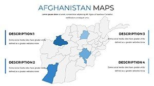
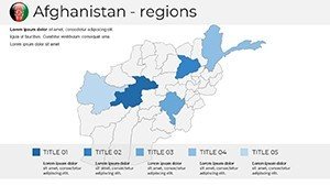
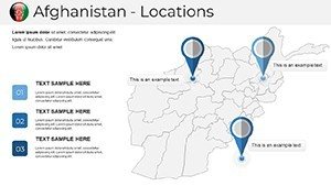
Delve Into Afghanistan's Provinces with Precision Mapping
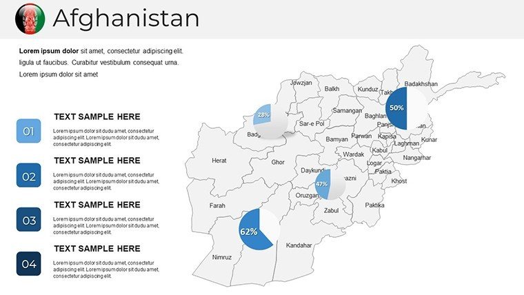
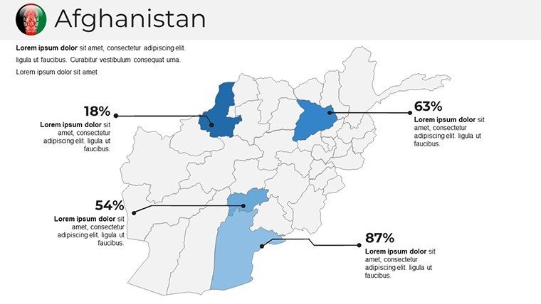
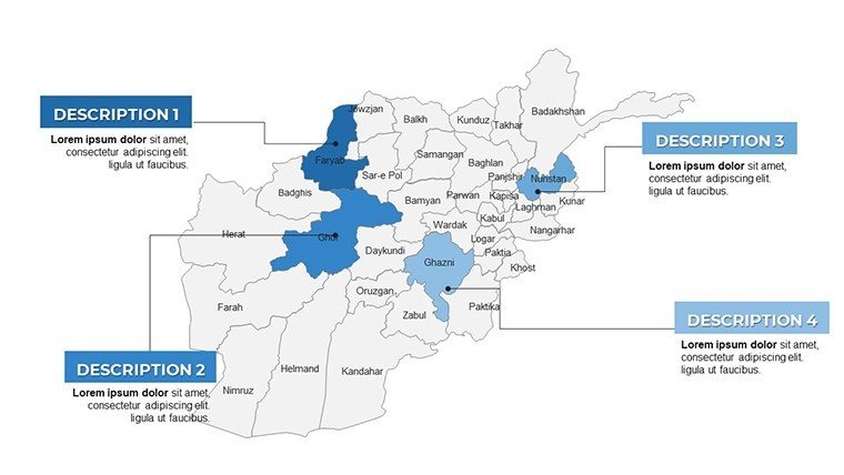
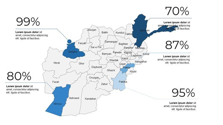
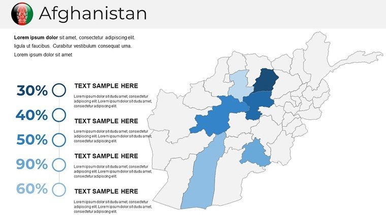
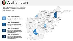
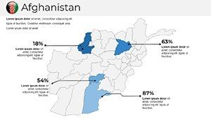
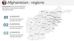
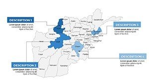
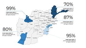
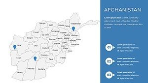
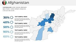
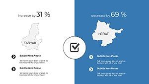
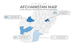
With 36 slides at your disposal, cover everything from national overviews to zoomed-in regional details. Customize to spotlight the Hindu Kush ranges or the Amu Darya river basin, ideal for environmental studies referencing UN reports on water scarcity. The intuitive interface allows beginners to edit effortlessly, adding infographics for population shifts post-conflict eras.
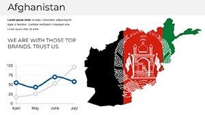
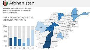
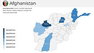
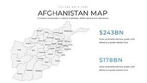
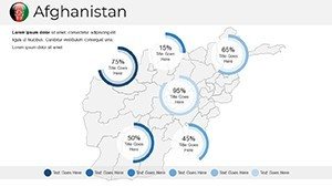
High-resolution graphics maintain quality across devices, outpacing generic maps by offering regular updates for evolving borders or data. For businesses, map investment opportunities in mining sectors of Badakhshan, aligned with World Bank economic analyses, fostering informed decisions.
Core Features Enhancing Your Visual Toolkit
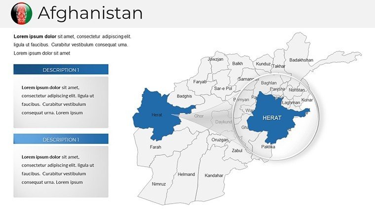
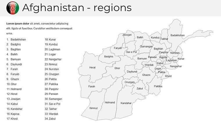
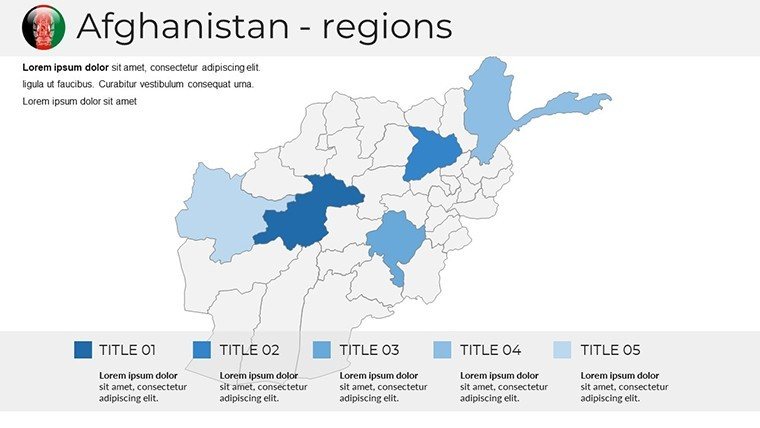
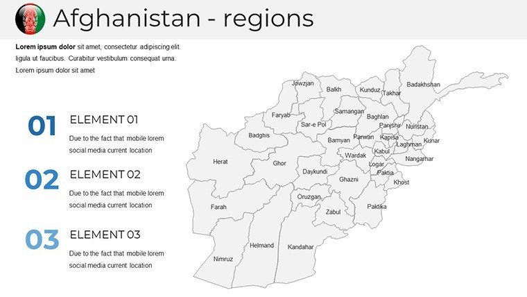
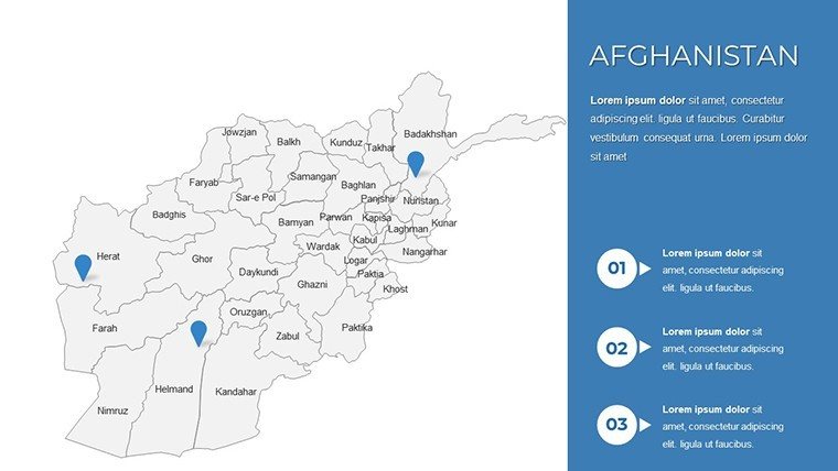
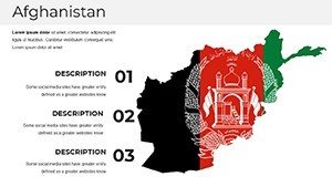
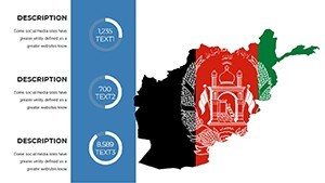
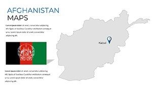
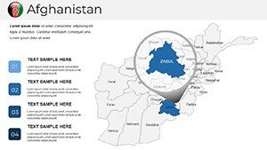
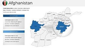
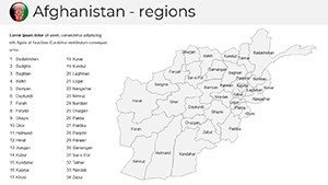
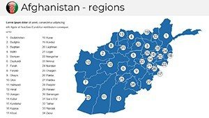
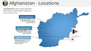
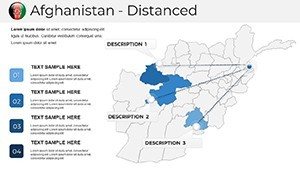
- Precise Details: Accurate province boundaries, cities, and landmarks like the Minaret of Jam.
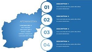
- Full Editability: Modify colors, data points, and animations for dynamic storytelling.
- Broad Compatibility: Integrates with PowerPoint, Google Slides, and other software.
- Update Assurance: Free refreshes to incorporate latest demographic or geographic info.
Engagement soars with these elements; a study from the Visual Teaching Alliance notes visual aids like maps improve retention by up to 65%.
Tailored Applications for Diverse Audiences
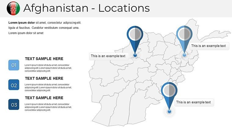
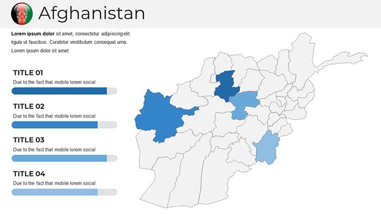
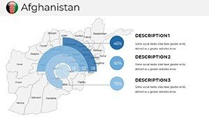
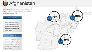
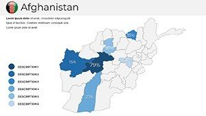
Educators can animate cultural narratives, highlighting Pashtun heartlands or Uzbek influences in the north. Analysts might overlay security data for strategic briefings, drawing from think tanks like the Brookings Institution. Businesses expanding aid programs can visualize logistics from Jalalabad to Mazar-i-Sharif.
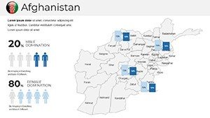
Researchers benefit from integrating socioeconomic data, such as literacy rates in Nangarhar, for impactful reports. This template's edge lies in its cultural sensitivity, ensuring respectful representations that build audience trust.
Integration Guide for Seamless Use
- Launch in your presentation app.
- Edit map layers using built-in tools.
- Add custom elements like charts for economic insights.
- Animate for emphasis, e.g., revealing trade routes.
- Present with confidence in its professional finish.
Combine with external sources for hybrid content, amplifying your message's reach.
Unlock Afghanistan's Narrative Potential Today
Empower your stories with this template - download now to map out insights that matter.
Frequently Asked Questions
How detailed are the Afghanistan maps?
Extremely detailed, including provinces, cities, and cultural sites with high accuracy from reliable sources.
Can I edit in Google Slides?
Yes, fully compatible for editing and presenting across platforms.
Suitable for research presentations?
Ideal, with options to overlay data for socioeconomic or historical analysis.
Do updates include demographic changes?
Yes, regular updates ensure current geographic and demographic accuracy.
Any interactivity features?
Supports animations and clickable elements for engaging live sessions.
Commercial use allowed?
Yes, perfect for business and professional applications without limitations.