Indonesia PowerPoint Maps: Visualize the Archipelago with Ease


Type: PowerPoint Maps template
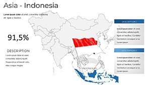
Category: Asia
Sources Available: .pptx
Product ID: PM00238
Template incl.: 30 editable slides
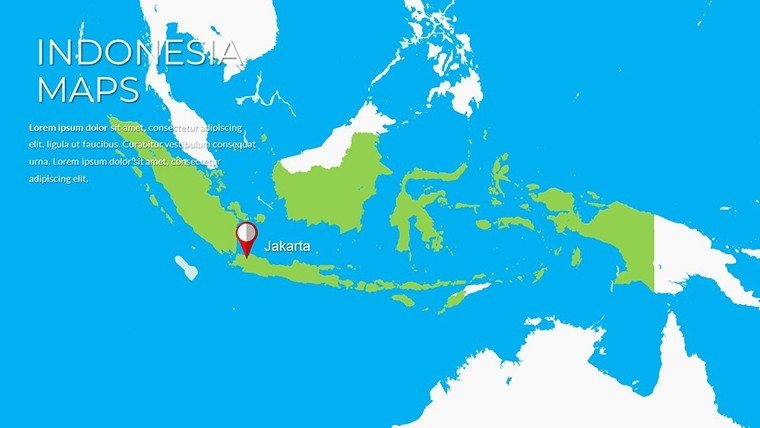
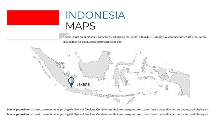
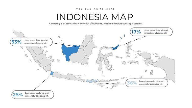
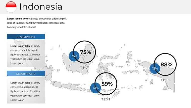
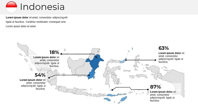
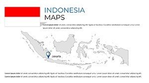
Envision captivating your audience with slides that sweep across Indonesia's 17,000 islands, from Sumatra's dense jungles to Java's volcanic peaks. Our Indonesia PowerPoint maps template, with 30 editable slides, is engineered for precision and flair, targeting educators unraveling biodiversity, businesses mapping supply chains, or tourism advocates spotlighting Bali's serene beaches. Drawing on accurate data from Badan Informasi Geospasial (Indonesia's geospatial agency), this tool ensures authoritative presentations. Fully compatible with Microsoft PowerPoint versions, it offers customization to highlight administrative divisions or add annotations for cultural dives into Yogyakarta's temples. This isn't mere mapping; it's about weaving narratives that connect viewers to Indonesia's vibrant mosaic, enhancing comprehension and sparking curiosity.
Discover the Depth of Indonesia's Geography in Every Slide
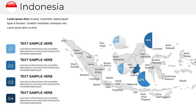
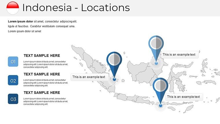
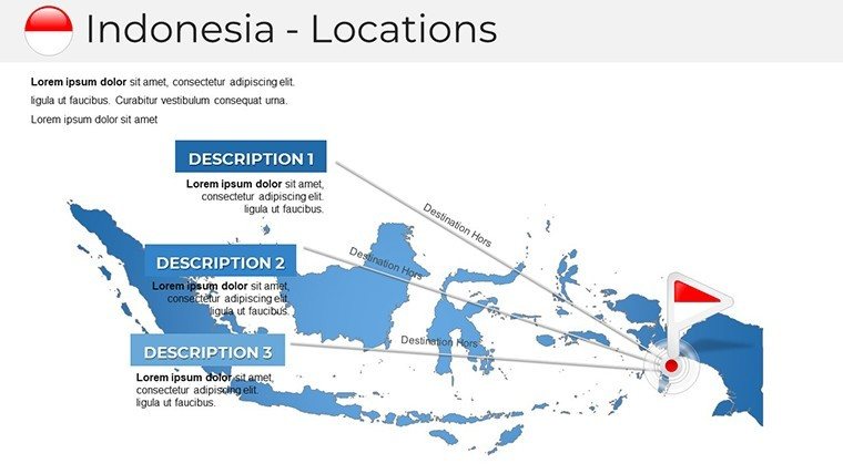
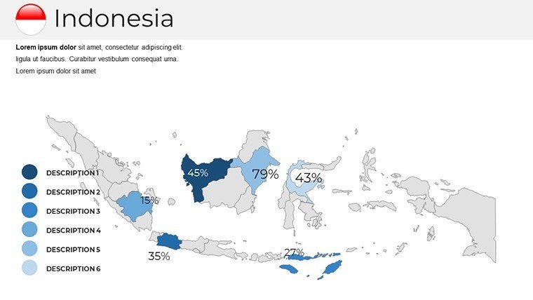
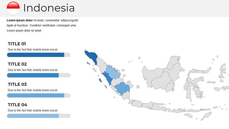
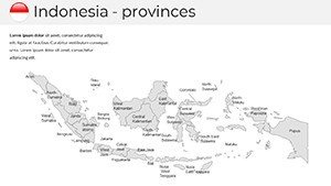
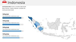
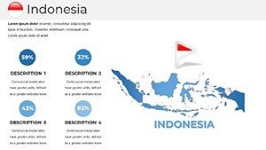
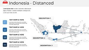
The template's 30 slides provide a comprehensive toolkit, starting with archipelago overviews and drilling down to island-specific details. Customize to emphasize Ring of Fire volcanoes like Mount Merapi or marine biodiversity in Raja Ampat. In corporate realms, use them to plot palm oil plantations in Kalimantan, backed by insights from WWF environmental reports, making abstract data tangible.
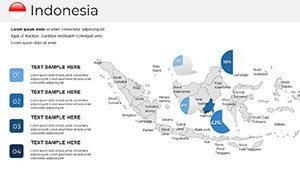
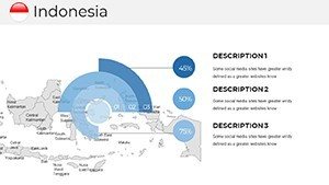
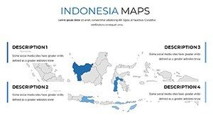
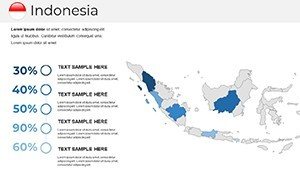
Clarity defines this resource: intuitive designs with clear labels prevent information overload. Tailor styles - perhaps earthy tones for ecological themes or bold hues for economic zones - to suit your vision. Unlike rudimentary tools, these maps support seamless integration, saving effort as noted in design efficiency studies from institutions like the International Society of Typographic Designers.
Essential Features for Versatile Mapping
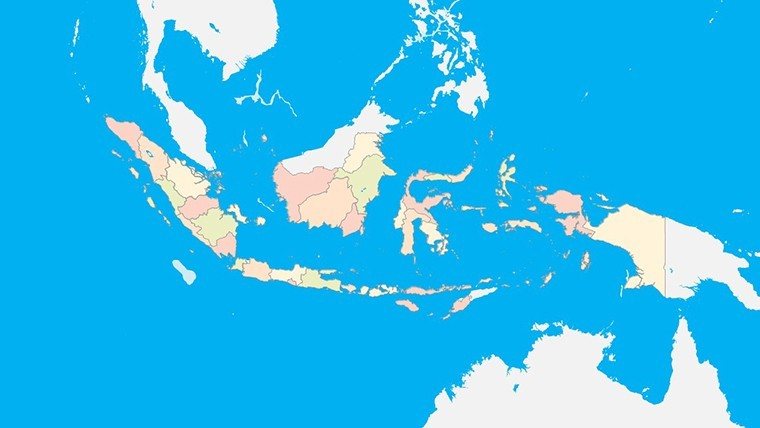
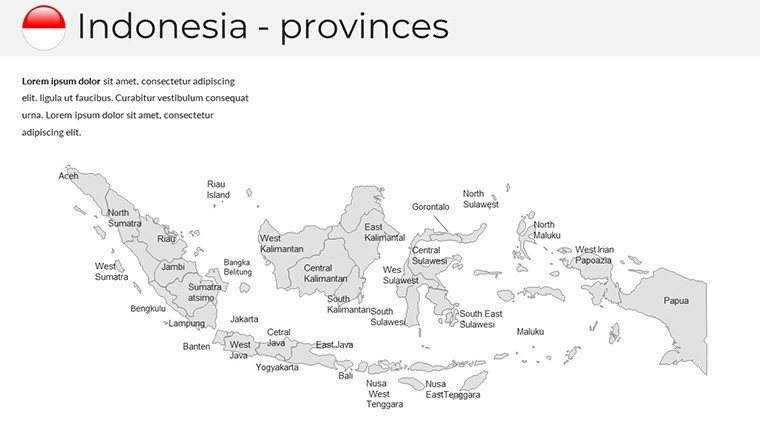
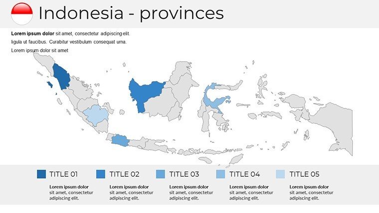
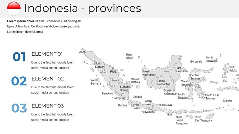
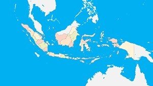
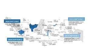
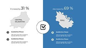
- Accurate Depictions: Faithful to Indonesia's complex boundaries, including disputed areas with sensitivity.
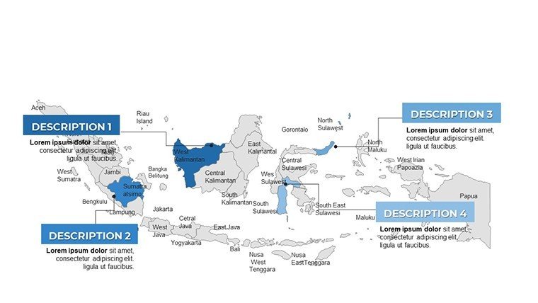
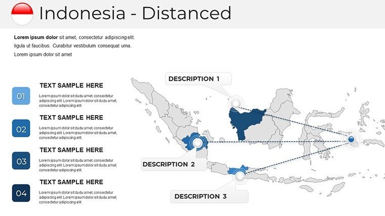
- Customization Flexibility: Alter colors, add notes, or resize elements without distortion.
- Integration Ease: Compatible with various PowerPoint editions for smooth workflow.
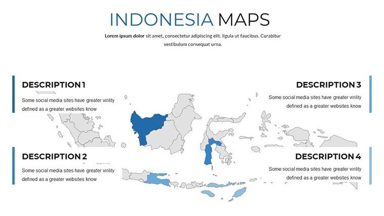
- Multi-Use Designs: From physical landscapes to political maps, adaptable for diverse needs.
Versatility pays off in applications like government briefings on infrastructure, where mapping Trans-Java Toll Road progress informs stakeholders effectively.
Practical Uses: Bridging Islands and Ideas
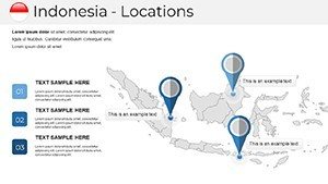
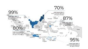
Leverage for educational journeys through Indonesia's history, animating spice trade routes from the Maluku Islands. Businesses can visualize distribution networks, such as coffee exports from Sulawesi, enhancing pitches with data from the Indonesian Coffee Exporters Association. Tourism slides might feature interactive elements for Lombok's Gili Islands, boosting engagement per travel industry metrics.
For research, overlay demographic trends from BPS-Statistics Indonesia, facilitating urban planning discussions in Jakarta's megacity sprawl. This template outshines basics by offering depth, like highlighting cultural heritage sites for UNESCO-aligned presentations.
Workflow Tips to Enhance Your Presentations
- Import the template into PowerPoint.
- Select and modify map elements via the selection pane.
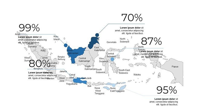
- Incorporate external data, like GDP per island group.
- Apply transitions for narrative flow, e.g., zooming into Papua's rainforests.
- Test and refine for audience impact.
Pair with analytics tools for live updates, creating presentations that evolve with data.
Map Indonesia's Future in Your Next Deck
Transform visions into visuals - download this template and chart new territories in your storytelling today.
Frequently Asked Questions
How accurate are the Indonesia maps?
Highly accurate, based on official geospatial data for reliable geographical and administrative representations.
Can I customize for specific islands?
Yes, easily highlight and edit individual islands or regions to focus your presentation.
Compatible with older PowerPoint versions?
Works with multiple versions, ensuring accessibility for various users.
Ideal for environmental presentations?
Perfect, with options to overlay data on volcanoes, forests, or marine areas.
Any support for updates?
Updates available to incorporate new geographic or political changes.