Philippines Map PowerPoint Template - 37 Fully Editable Slides, Instant Download


Type: PowerPoint Maps template
Category: Asia
Sources Available: .pptx
Product ID: PM00235
Template incl.: 37 editable slides
Overview
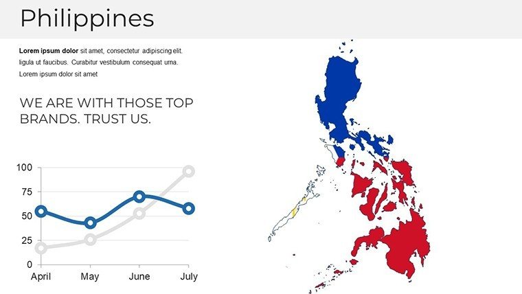
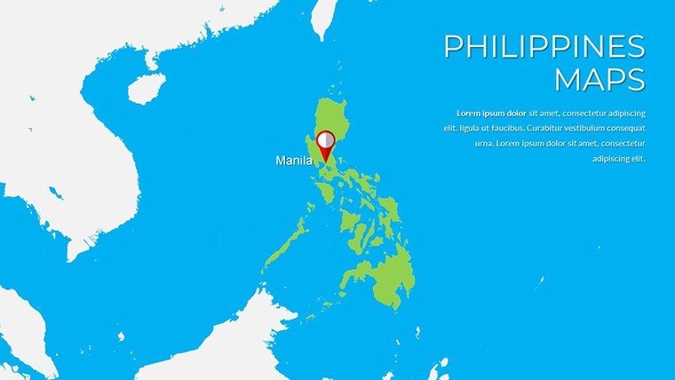
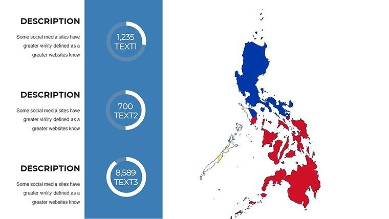
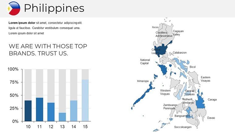
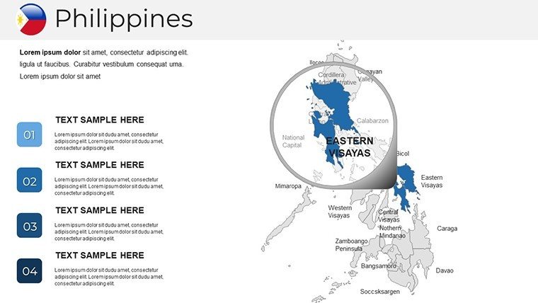
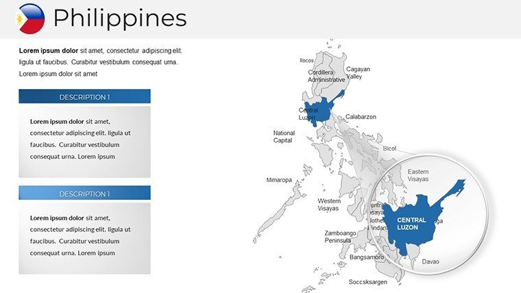
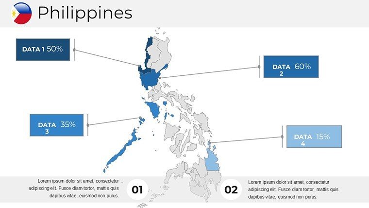
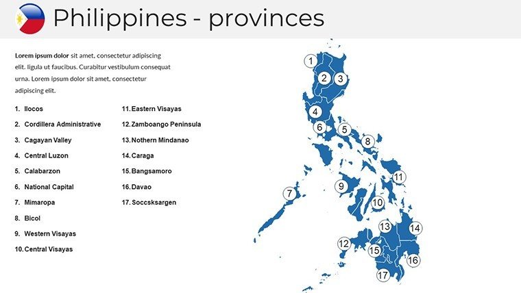
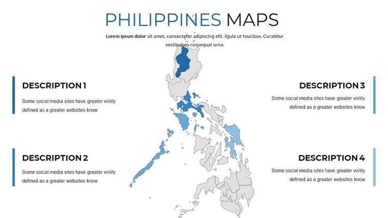
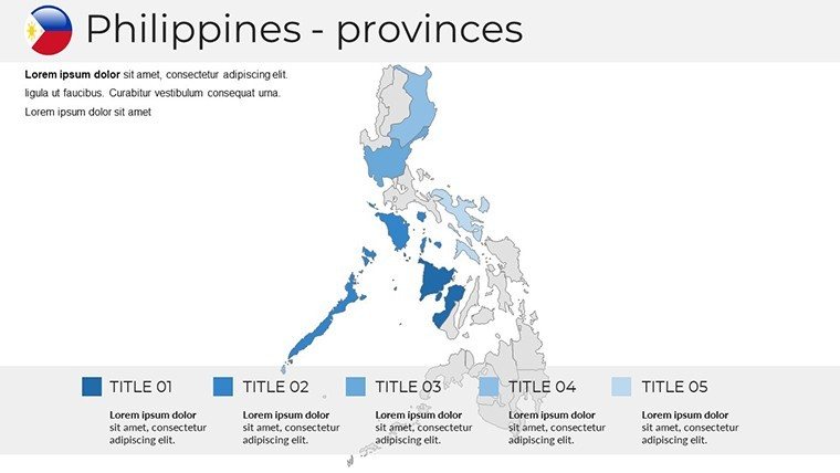
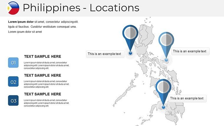
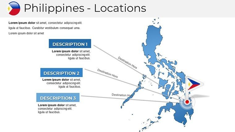
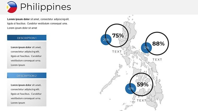
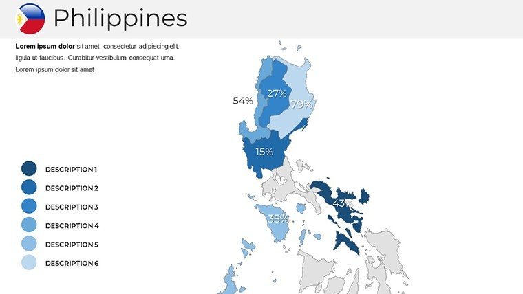
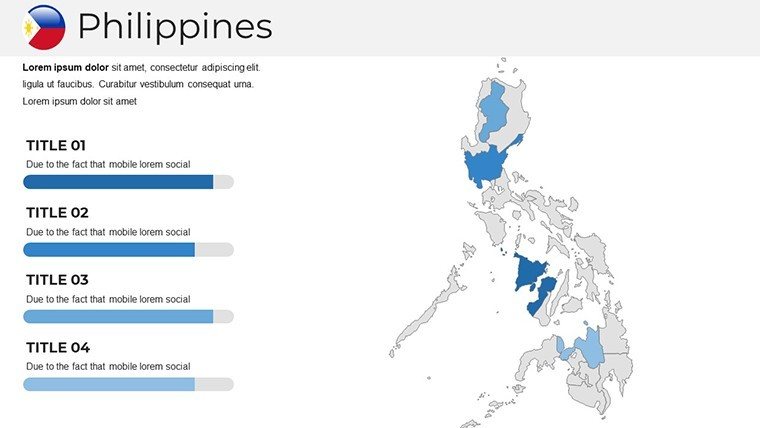
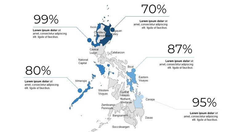
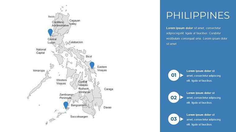
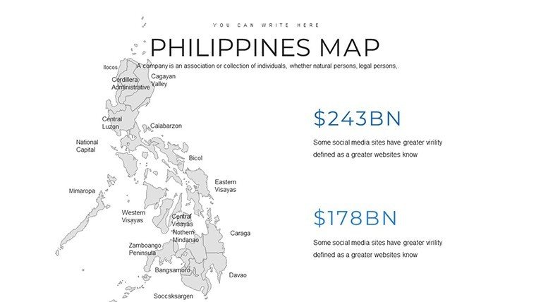
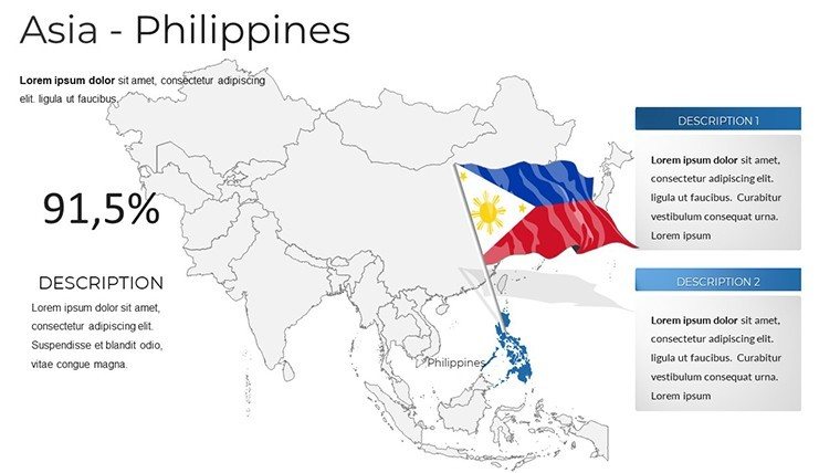
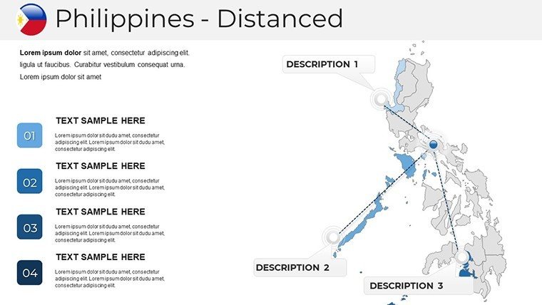
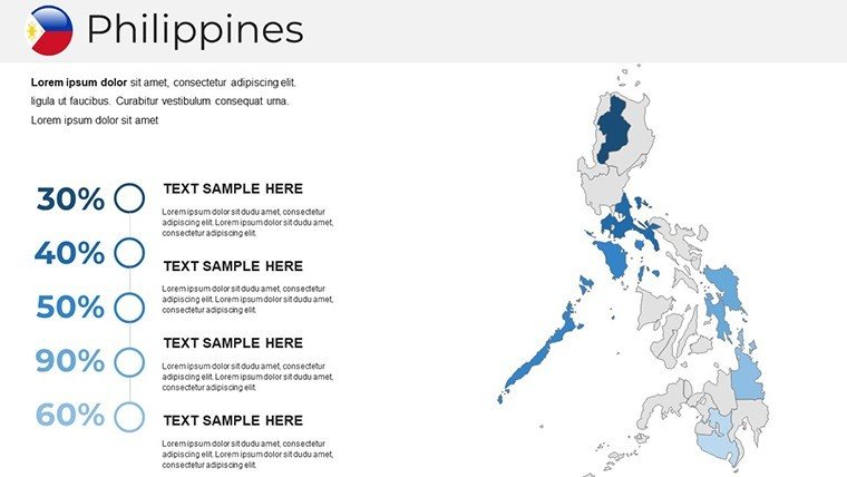
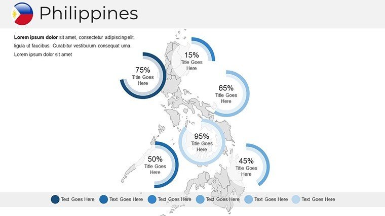
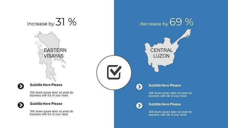
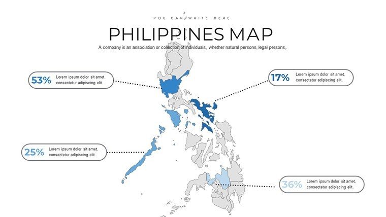
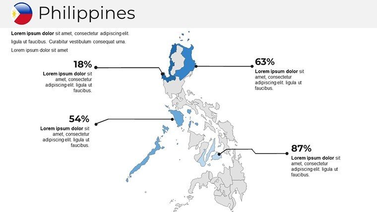
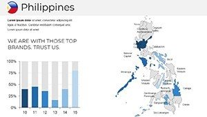
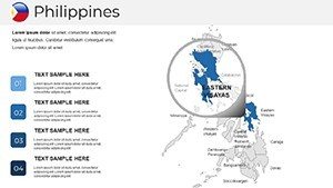
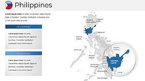
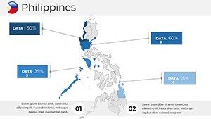
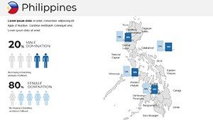
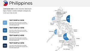
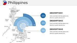
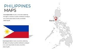
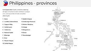
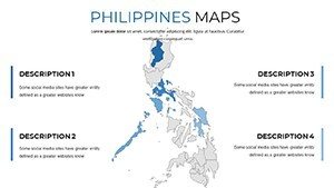
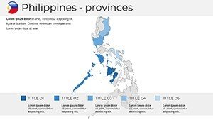
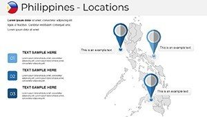
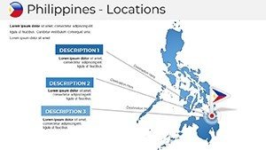
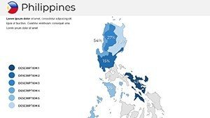
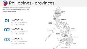
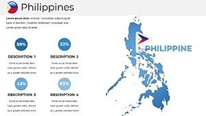
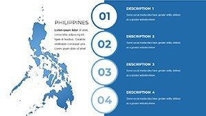
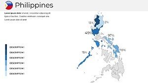
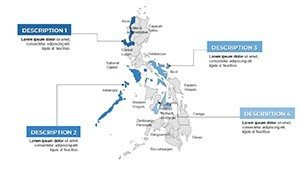
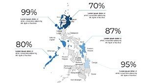
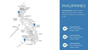
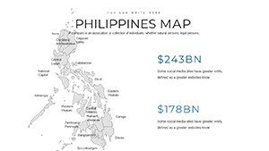
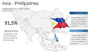
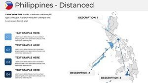
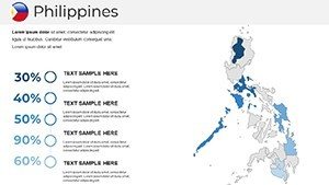
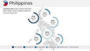
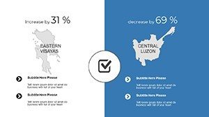
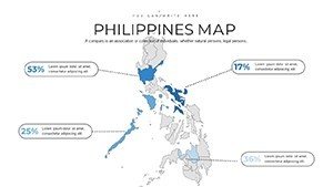
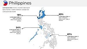
Our Philippines PowerPoint Maps Template provides 37 fully editable slides to visualize regional data, business locations, and geographic insights across the archipelago. Perfect for professionals, educators, and consultants who need to communicate location-based information clearly and efficiently.
Key Benefits
- Fully editable slides with maps of all major islands and regions
- Ideal for business expansion planning, educational lessons, and consulting presentations
- Visually engaging design to highlight key areas and insights
How to Use
Simply insert your data, adjust colors and labels, and customize icons to match your branding. Use in board meetings, classroom presentations, or client pitches to illustrate geographic trends and opportunities.
Professional Scenarios
- Business strategy sessions for regional expansion
- Educational lectures on Philippine geography or history
- Consulting reports for tourism, real estate, or infrastructure projects
Features
- 37 slides covering all regions and major cities
- Editable maps, icons, and text boxes
- Compatible with PowerPoint 2010 and later
Get Started
Download instantly and start mapping the Philippines like a pro. Create insightful, visually appealing presentations without the hassle.
FAQ
Can I edit the map regions and colors?
Yes, all regions and colors are fully editable to match your presentation needs.
Is this template suitable for business presentations?
Absolutely. It is designed for business strategy, market analysis, and client presentations.
Can educators use it for teaching geography?
Yes, teachers can use these slides to illustrate Philippine geography, history, and regional statistics.