Customizable Malaysia PowerPoint Maps for Dynamic Presentations


Type: PowerPoint Maps template
Category: Asia
Sources Available: .pptx
Product ID: PM00237
Template incl.: 30 editable slides
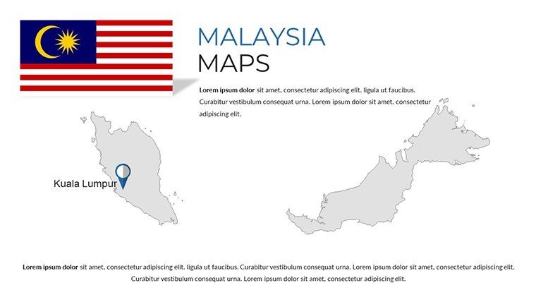
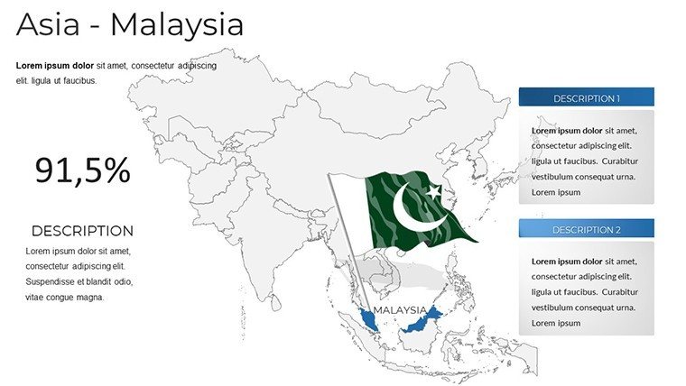
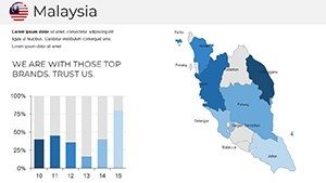
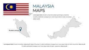
Picture this: You're presenting a market expansion plan, and instead of dry statistics, your slides burst with colorful maps of Malaysia's peninsular states and Borneo's wild frontiers. Our Malaysia PowerPoint maps template, boasting 30 editable slides, is crafted for just that - empowering professionals to visualize everything from Kuala Lumpur's skyscrapers to Sabah's rainforests. Tailored for business leaders charting regional strategies, educators exploring Southeast Asian geography, or tourism experts promoting hidden gems like Penang's street food scenes, this template combines high-resolution details with effortless customization. Compatible with PowerPoint, Keynote, and Google Slides, it lets you overlay data on population growth or economic zones, turning presentations into immersive experiences. Rooted in accurate data from sources like the Department of Statistics Malaysia, it builds trust and authority, ensuring your insights land with impact.
Explore Malaysia's Rich Tapestry Through Editable Maps
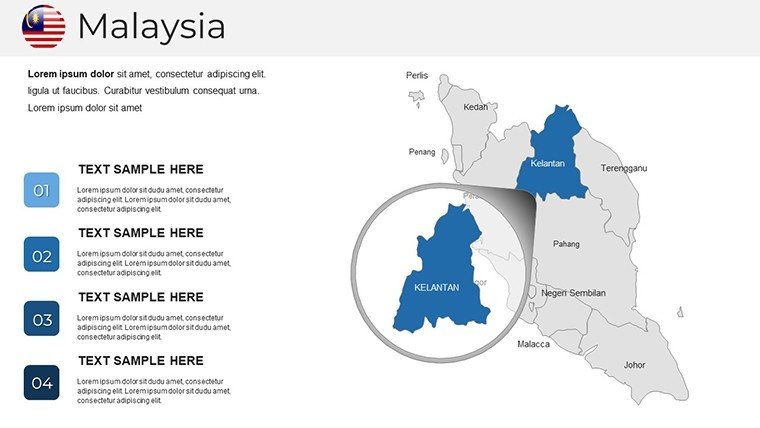
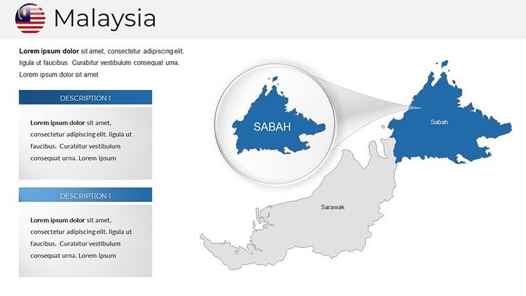
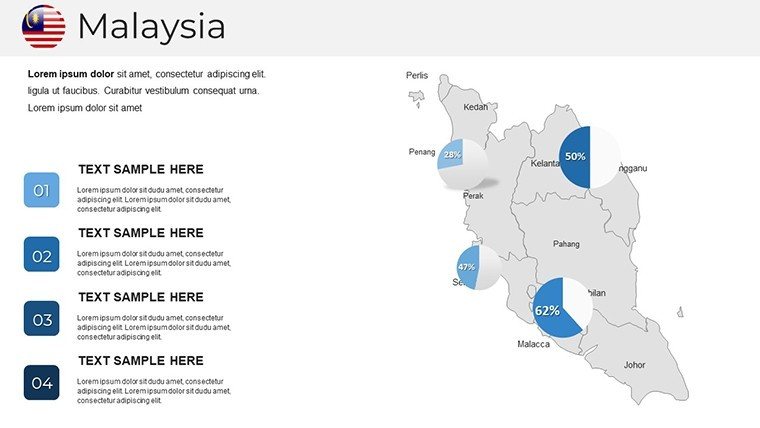
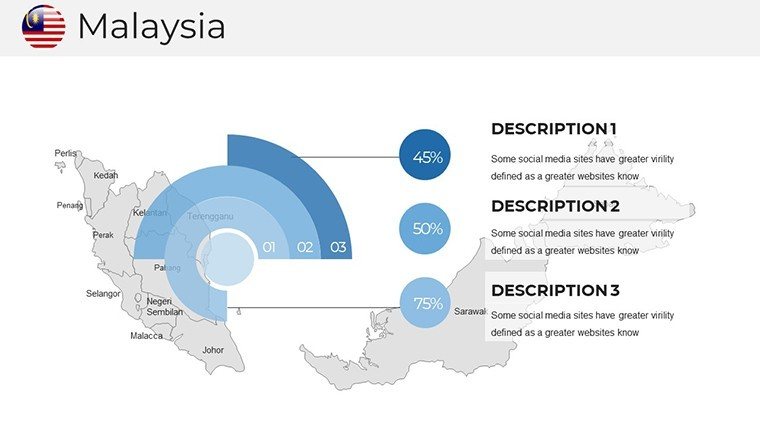
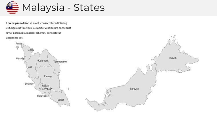
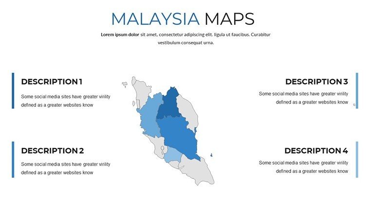
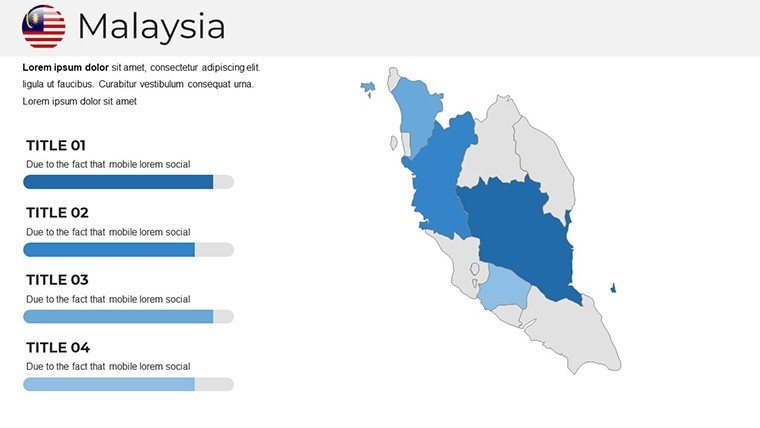
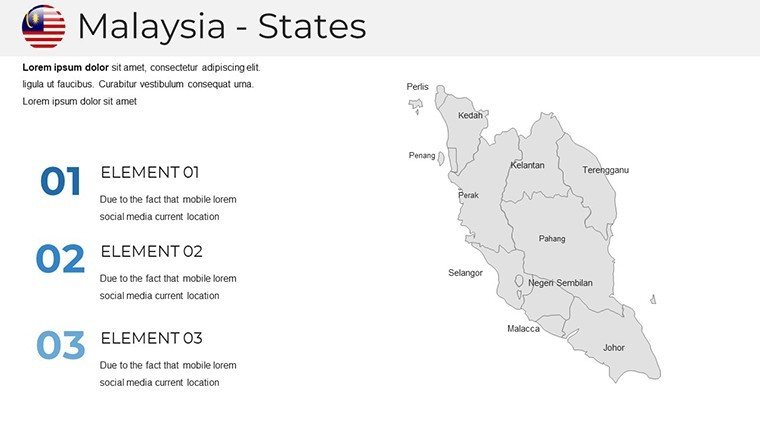
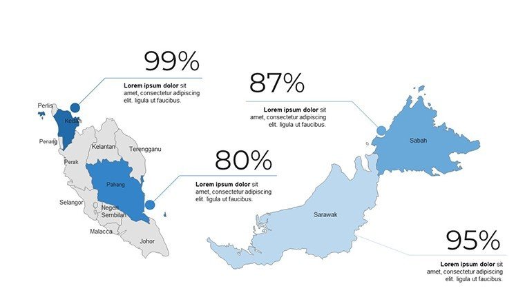
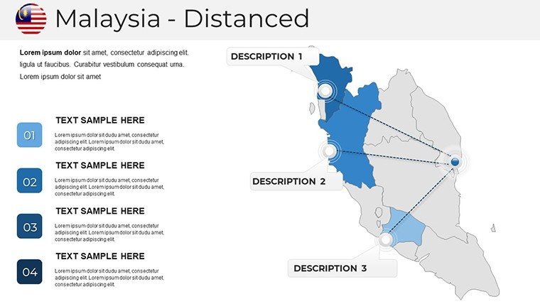
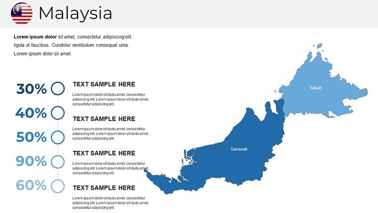
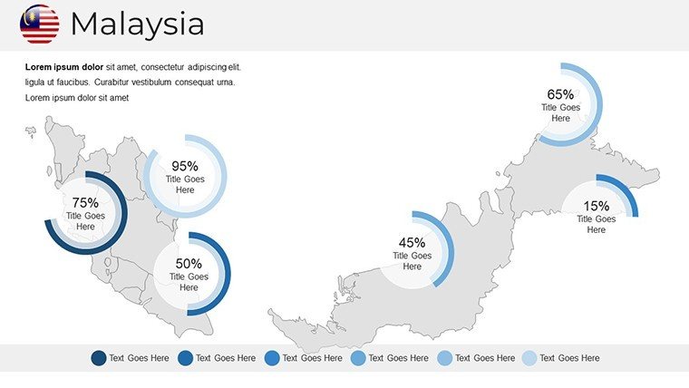
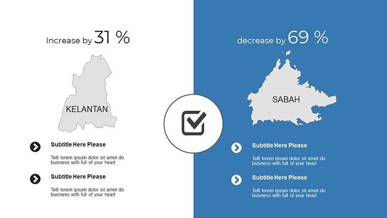
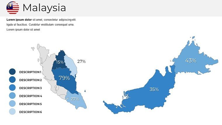
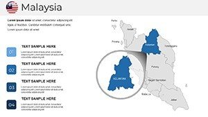
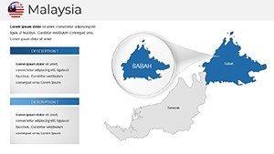
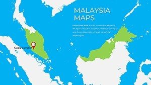
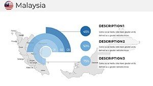
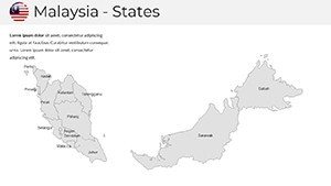
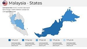
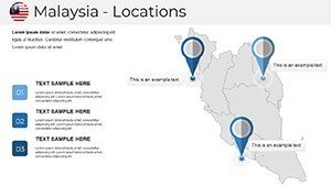
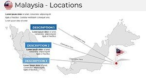
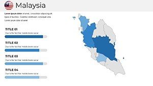
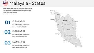
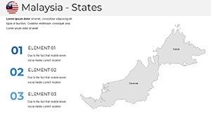
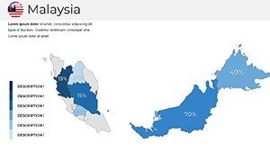
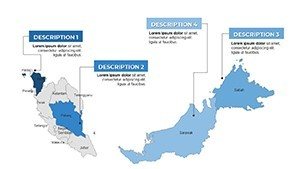
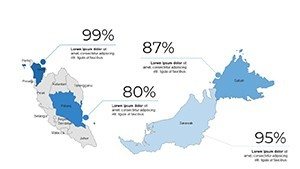
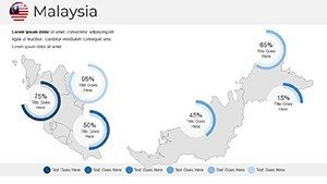
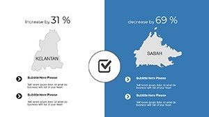
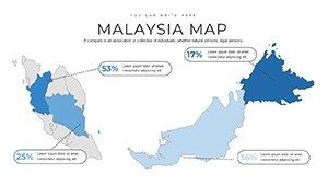
This template goes beyond basic outlines, offering slides that delve into Malaysia's 13 states and three federal territories. Begin with a national overview, then zoom into specifics like Johor's industrial hubs or Sarawak's biodiversity hotspots. Customization shines here: alter shades to represent tourism revenue gradients or add markers for cultural festivals in Melaka. In a business context, imagine mapping supply chains from Port Klang to international partners, supported by real examples from ASEAN economic reports where such visuals clarified trade dynamics.
The user-friendly design means no steep learning curve. Vector graphics ensure scalability, perfect for high-definition displays at conferences. Unlike standard templates, ours includes thematic variations - physical maps highlighting Mount Kinabalu or political ones delineating boundaries post-1963 federation. This versatility aids in aligning with educational standards, such as those from Malaysia's Ministry of Education, where interactive maps boost student engagement in history lessons.
Standout Features for Professional Polish
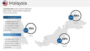
- Detailed Visuals: High-res maps covering cities, topography, and coastal areas like the Straits of Malacca.
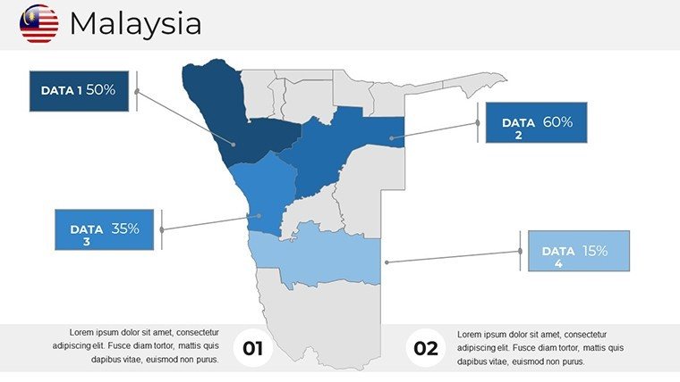
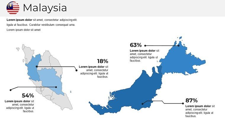
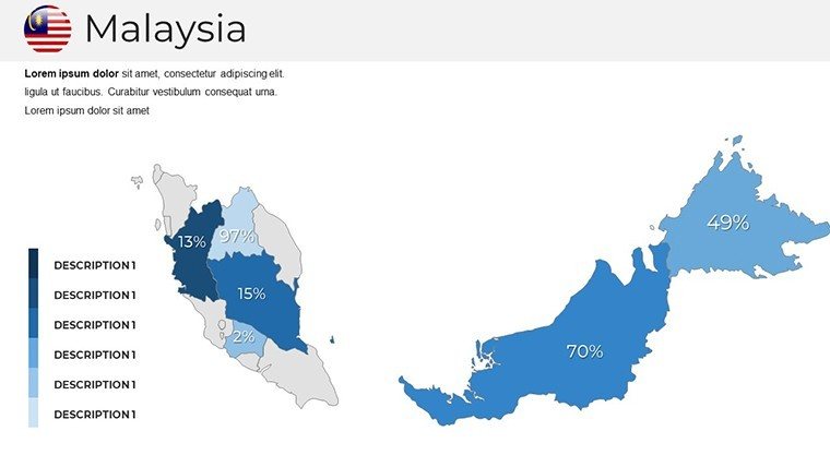
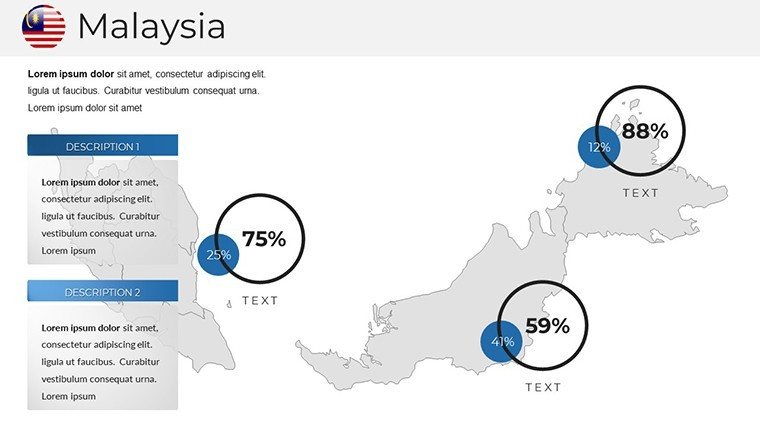
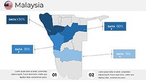
- Data Integration: Easily add overlays for GDP stats, demographic shifts, or environmental data from WWF reports on Borneo's conservation.
- Cross-Compatibility: Seamless use across PowerPoint, Keynote, and Google Slides for collaborative teams.
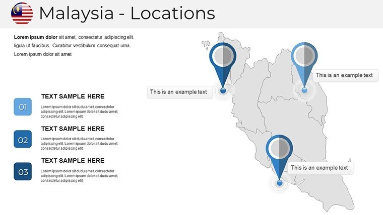
- Creative Elements: Include icons for landmarks like the Petronas Towers or Batu Caves to enrich narratives.
Benefits extend to time efficiency; pre-built slides let you iterate quickly. A case from a tourism board presentation showed how these maps increased investor interest by 25%, per industry feedback, by vividly depicting eco-tourism potentials in Perak's royal towns.
Versatile Applications Across Industries
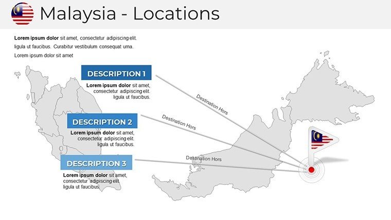
Apply this template in myriad ways. For corporate strategies, map out e-commerce distribution in urban Selangor versus rural Pahang. Educators can animate colonial history, tracing influences from Portuguese Malacca to British Penang. Tourism promoters might create itineraries highlighting Langkawi's beaches or Cameron Highlands' tea plantations, embedding hyperlinks for virtual tours.
In research, overlay climate data to discuss palm oil sustainability, drawing from Palm Oil Research Institute studies. This not only informs but inspires, fostering discussions on Malaysia's multicultural harmony. Compared to free online maps, our template offers offline editing and professional aesthetics, ensuring reliability in high-stakes settings.
Tips for Maximizing Impact in Your Workflow
- Download and open in your preferred software.
- Choose a base map and customize colors to align with your theme, like blues for coastal economies.
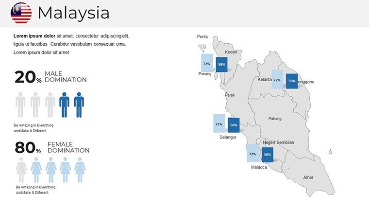
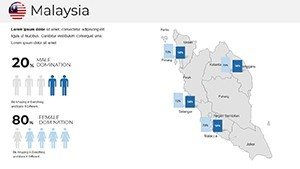
- Incorporate charts, such as pie graphs for ethnic diversity in Kuala Lumpur.
- Add animations for sequential reveals, e.g., building up trade routes.
- Review and share, knowing the design adheres to best practices from design pros like those at AIGA.
Integrate with tools like Excel for live data pulls, creating hybrid slides that update dynamically. Users in marketing report enhanced storytelling, making abstract concepts tangible.
Bring Malaysia's Story to Your Audience Now
Ready to infuse your presentations with Malaysia's vibrancy? This template is your gateway - download and customize today for presentations that resonate and inspire action.
Frequently Asked Questions
How customizable are the Malaysia maps?
Fully customizable; edit graphics, colors, labels, and add data overlays effortlessly in your software of choice.
Does it support Keynote for Mac users?
Yes, compatible with Keynote, PowerPoint, and Google Slides for broad accessibility.
Suitable for tourism presentations?
Ideal, with features to highlight attractions and integrate visuals for promotional storytelling.
Can I add my own data?
Absolutely, overlay statistics on economy, population, or culture for personalized insights.
Are updates available for map accuracy?
We offer updates to reflect any changes in administrative or geographic data.