Papua New Guinea PowerPoint Maps Template: Unlock Cultural and Geographic Wonders


Type: PowerPoint Maps template
Category: Australia
Sources Available: .pptx
Product ID: PM00229
Template incl.: 38 editable slides
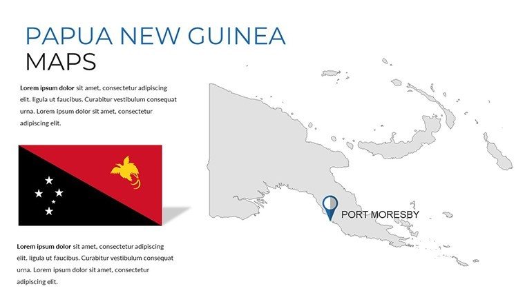
Step into the vibrant tapestry of Papua New Guinea, where over 800 languages echo through mist-shrouded highlands and coral-fringed shores. Our Papua New Guinea PowerPoint Maps Template captures this diversity in 38 editable slides, designed by cultural geographers and visual experts to help you craft presentations that educate and enchant. Perfect for travel planners mapping epic treks along the Kokoda Track, educators delving into tribal societies, or businesses eyeing resource opportunities in the Bismarck Archipelago, this template transforms intricate details into accessible visuals.
Customization is at your fingertips: alter layouts to spotlight specific regions, infuse cultural icons for authenticity, or layer infographics for data depth. The advantages are profound - cut design time in half, amplify audience retention with immersive storytelling, and establish your expertise in Pacific affairs, aligning with insights from anthropologists like those at the Australian National University.
Essential Features for Vivid Storytelling
This template's core is its array of features, blending artistic flair with functional precision. High-quality visuals render Papua New Guinea's rugged terrain in stunning detail, from the Sepik River's meanders to Mount Wilhelm's peaks. Editable elements allow for personal touches, ensuring your presentation feels bespoke.
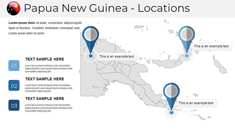
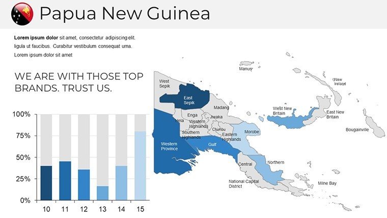
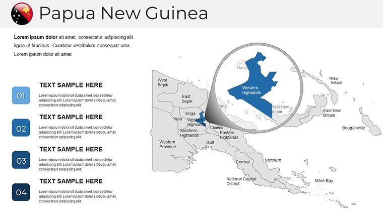
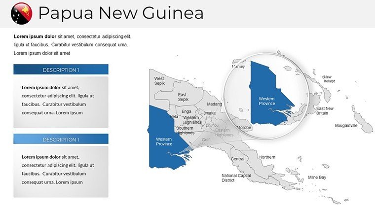
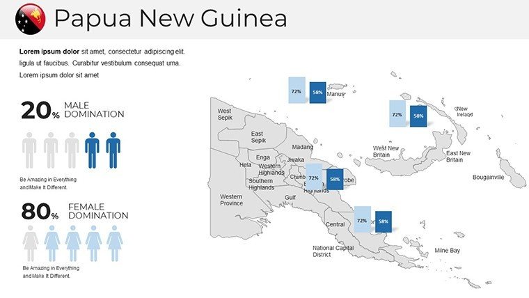
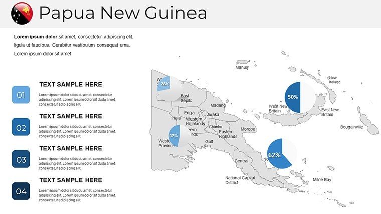
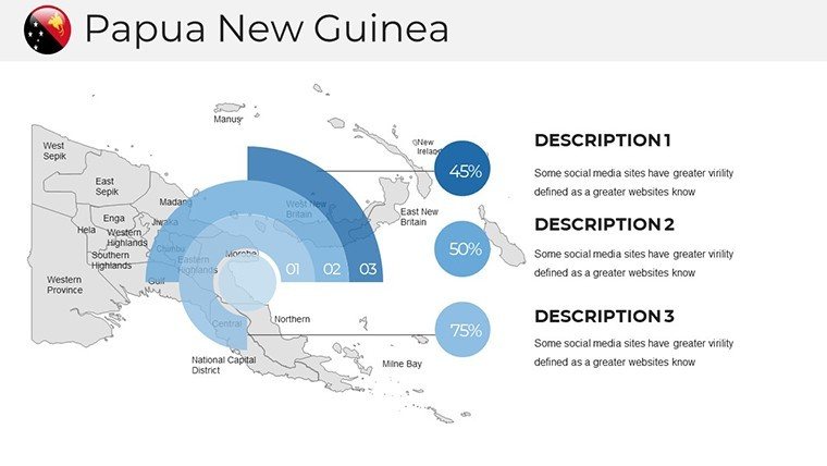
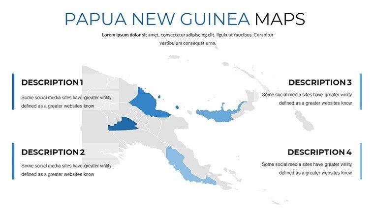
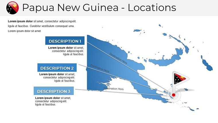
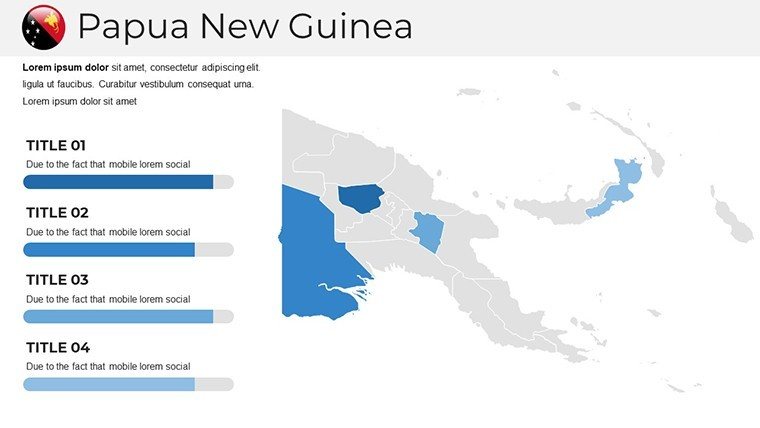
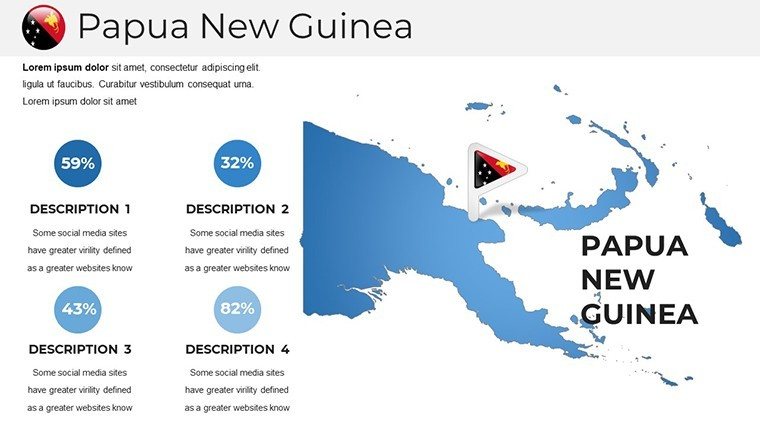
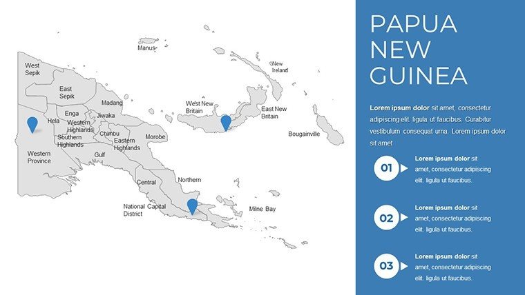
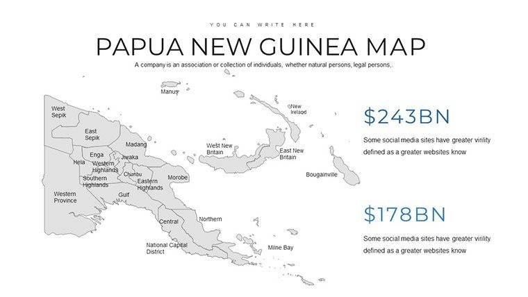
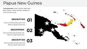
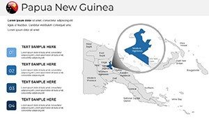
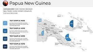
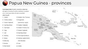
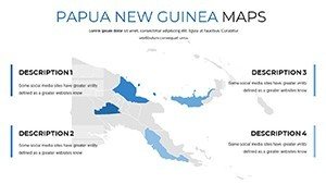
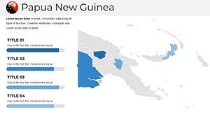
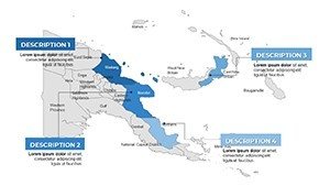
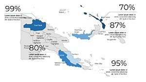
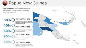
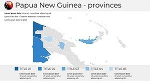
- Varied Layouts: Choose from overview maps to zoomed-in cultural zones, like the Highlands for festival depictions.
- Cultural Infographics: Incorporate icons representing sing-sings or bilum bags to enrich narratives.
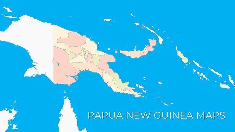
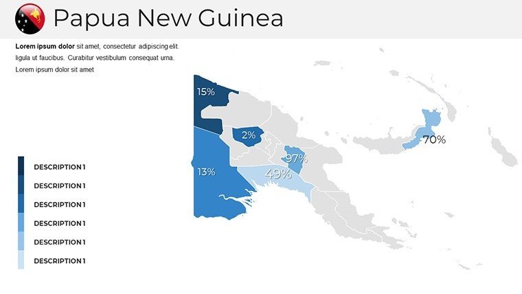
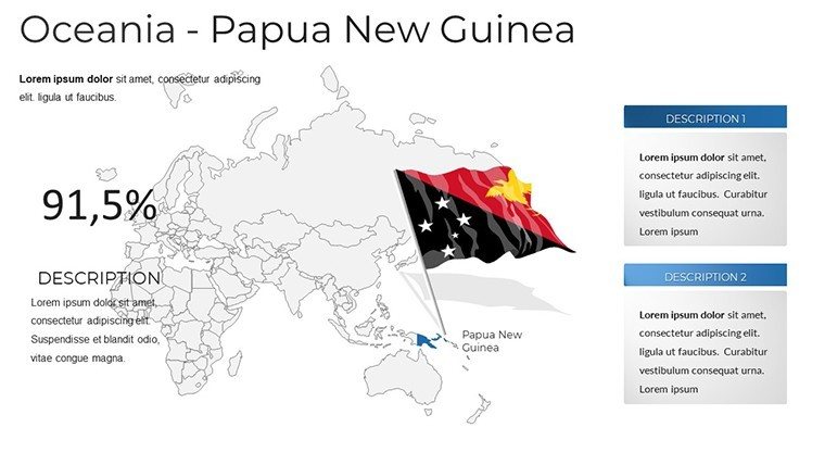
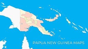
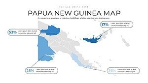
- Geographic Accuracy: Maps adhere to precise boundaries, verified against sources like National Geographic.
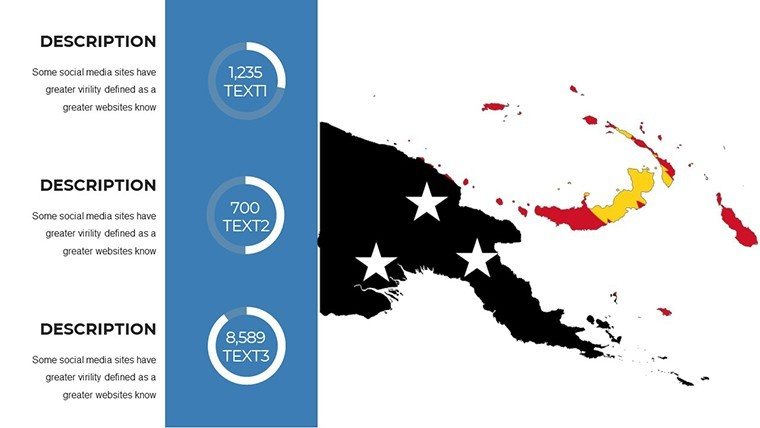
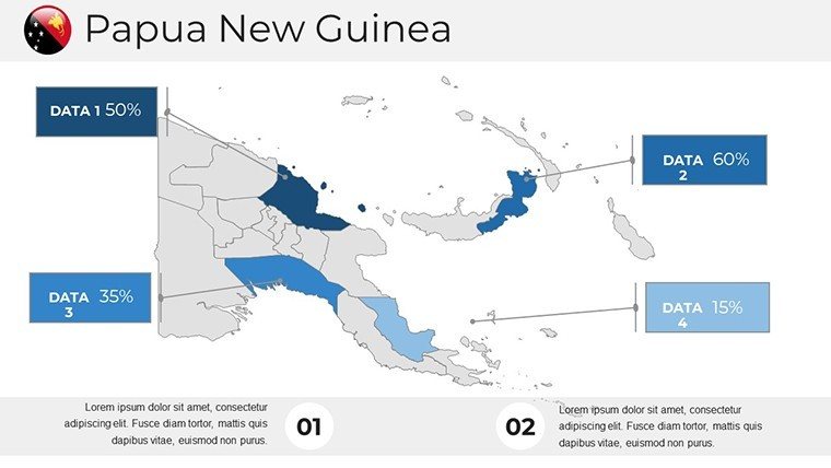
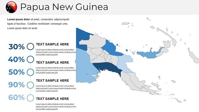
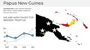
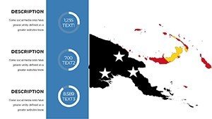
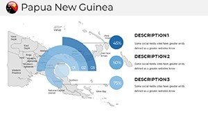
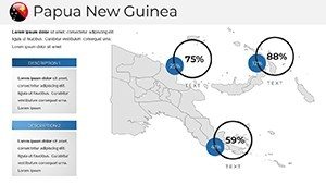
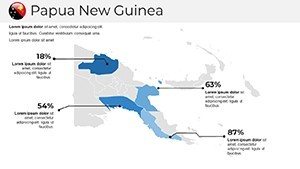
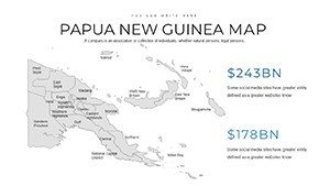
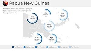
- Icon and Chart Integration: Simplify complex topics, such as biodiversity hotspots in the Coral Triangle.
- Easy Navigation: Slides flow logically, with hyperlinks for interactive explorations.
These tools address typical challenges, like conveying cultural nuances without overwhelming text, drawing from best practices in ethnographic presentations. Users gain an edge, producing work that rivals professional documentaries in engagement.
Diverse Applications: Weaving Narratives Across Sectors
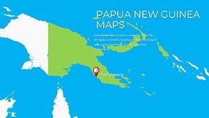
Imagine a travel webinar where attendees virtually traverse from Port Moresby to the Trobriand Islands, enticed by customized route maps. Or a classroom session animating PNG's WWII history with overlaid battle sites. Non-profits can map conservation efforts in rainforests, highlighting threats like deforestation with data from WWF reports.
For business, visualize mining operations in the Ok Tedi region or tourism potentials in Milne Bay, turning proposals into persuasive visuals. The process is intuitive: Select a slide, input data, refine aesthetics, and present. Outpacing basic tools, it supports multimedia embeds for videos of traditional dances, boosting immersion.
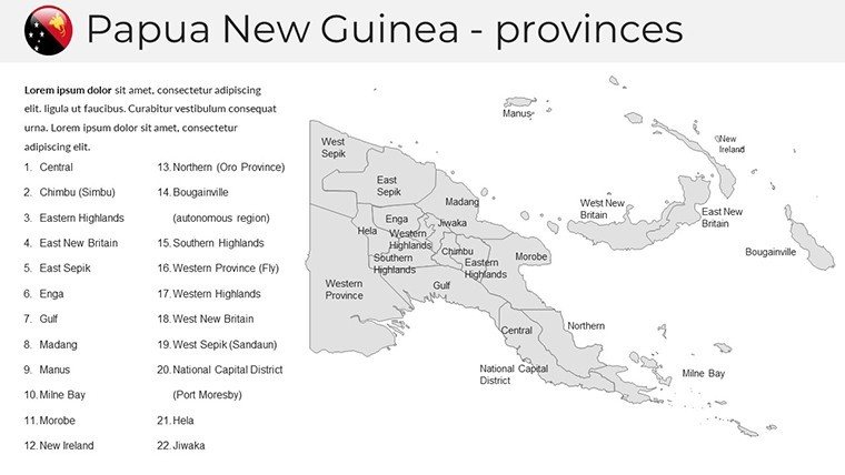
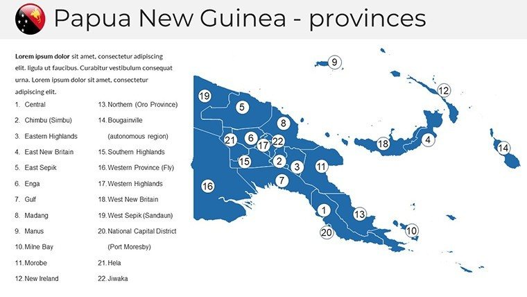
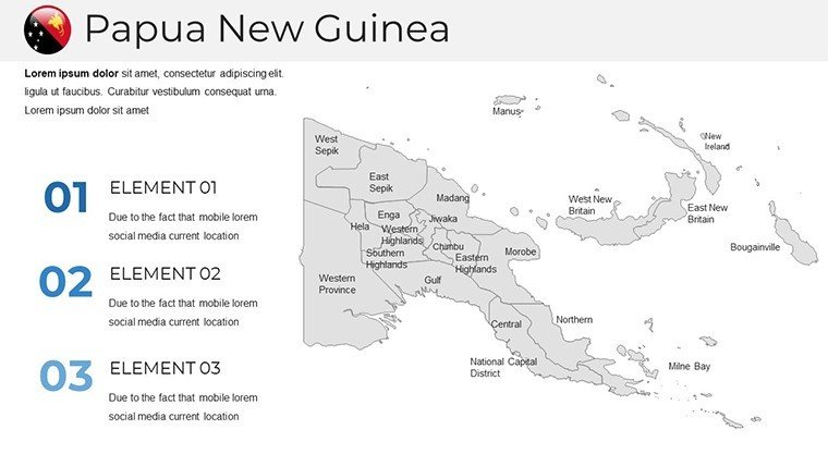
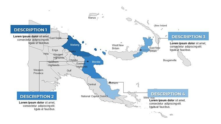
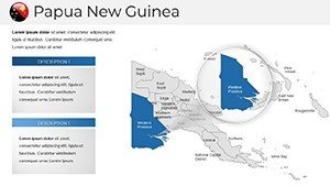
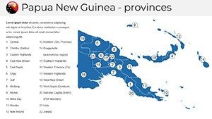
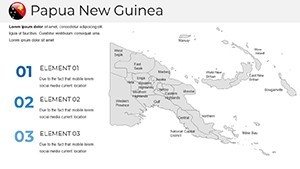
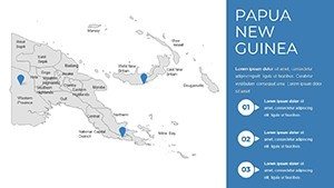
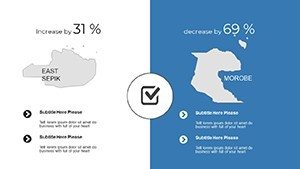
- Begin with a base map and add labels for provinces like East New Britain.
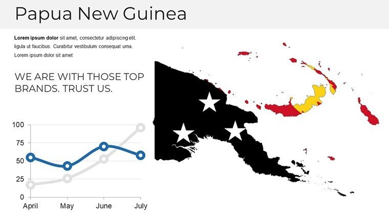
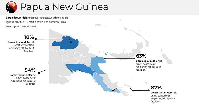
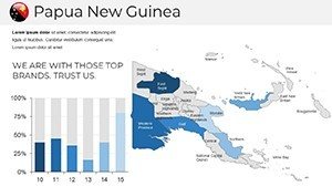
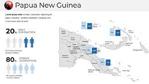
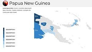
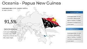
- Layer infographics for metrics, such as linguistic diversity distributions.
- Use animations to unveil layers, mimicking a journey through the country.
- Review for cultural sensitivity, ensuring respectful representations.
Pro tips include using warm color schemes to evoke PNG's tropical vibe, short sentences for pace, and audience polls via embedded forms. This fosters interaction, as seen in successful travel expos where visual aids drove bookings.
Deep Dives into PNG-Specific Customizations
Unique slides cater to niche needs, like detailing the autonomous region of Bougainville or marine reserves. Integrate LSI terms naturally, such as "Papua New Guinea tribal maps" in alt texts, enhancing discoverability. For educators, pair with lesson plans on indigenous rights, supported by UN declarations.
The Edge of Excellence in PNG Presentations
What elevates this above others? Its 38-slide depth, cultural sensitivity, and freeform editing outshine rigid freebies. Built by experts versed in Melanesian studies, it instills trust, perfect for global forums. From raising awareness on climate impacts to planning adventures, it's your ally.
Embark on your PNG presentation adventure - customize and captivate now.
Frequently Asked Questions
How customizable are the cultural elements?
Fully - edit icons, colors, and positions to fit your theme accurately.
Does it work on older PowerPoint versions?
Compatible with 2010+, but best in newer for full features.
Suitable for travel agencies?
Yes, with itinerary maps and visual highlights for client pitches.
Can I add videos?
Easily embed for dynamic content like cultural performances.
Are maps updated?
Based on current data; site offers refresh downloads.