Somalia PowerPoint Maps Presentation Template: Download PPT


Type: PowerPoint Maps template
Category: Africa
Sources Available: .pptx
Product ID: PM00216
Template incl.: 37 editable slides
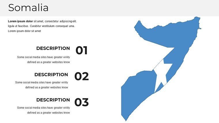
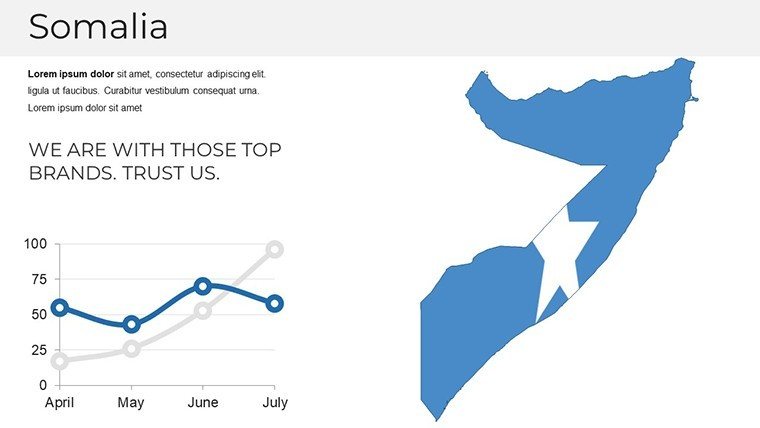
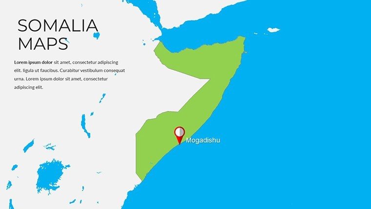
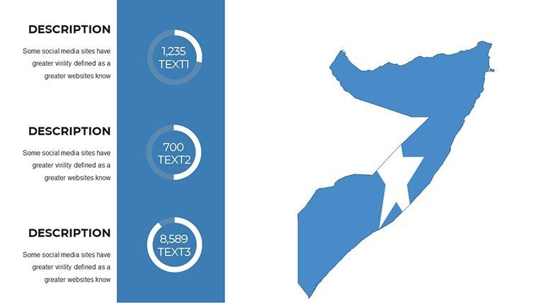
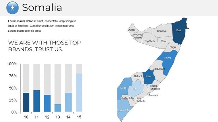
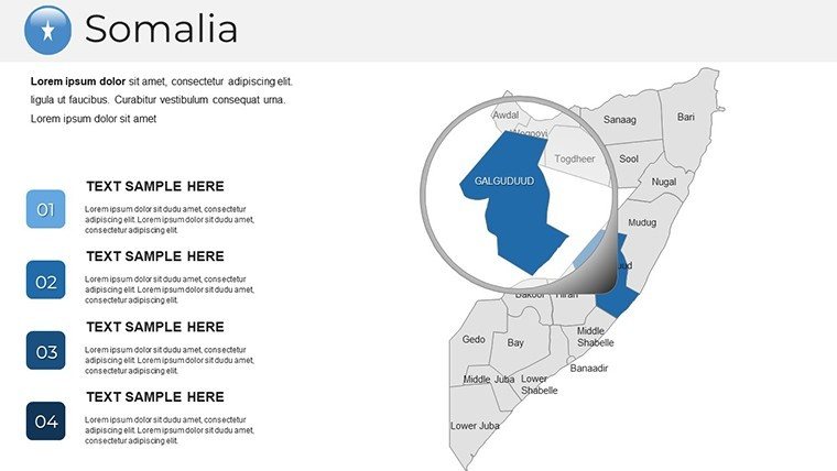
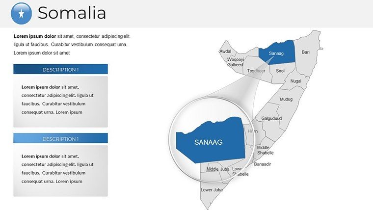
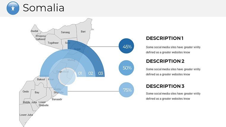
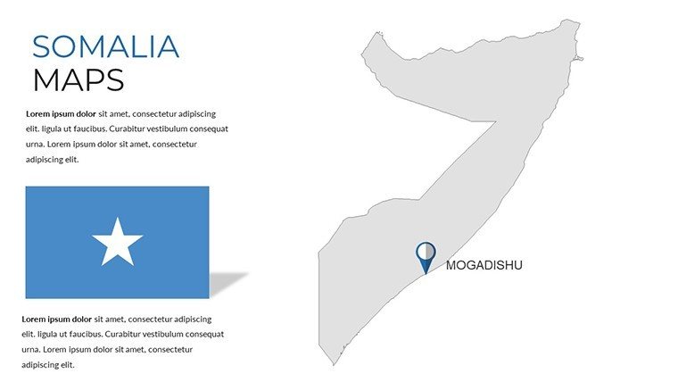
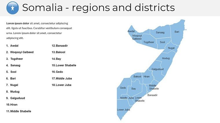
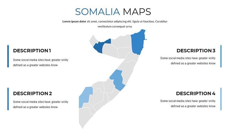
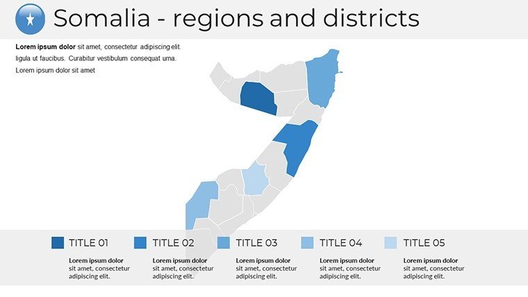
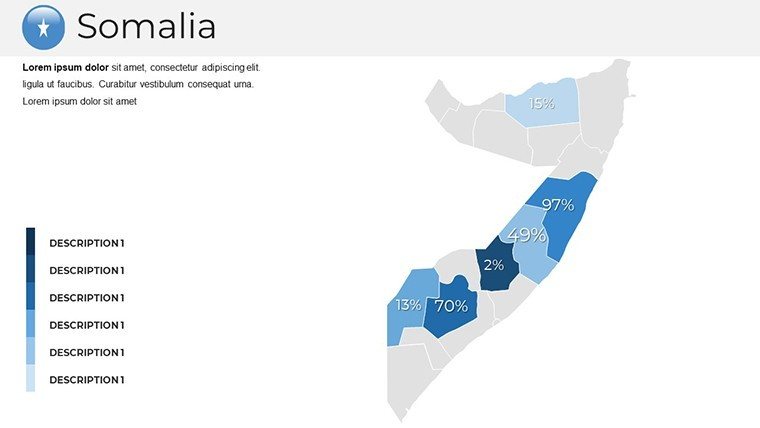
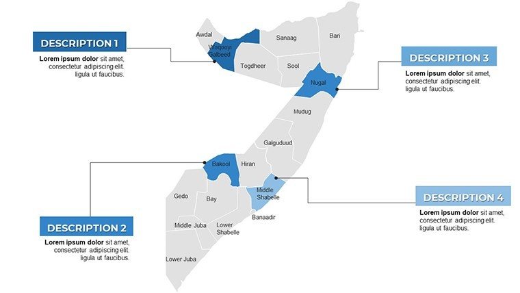
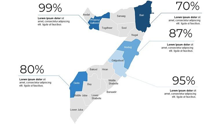
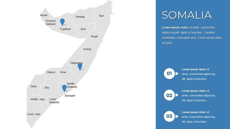
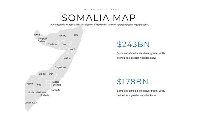
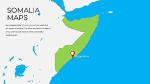
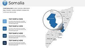
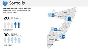
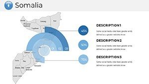
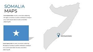
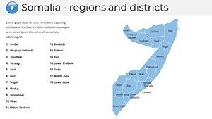
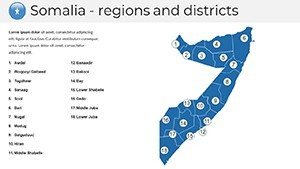
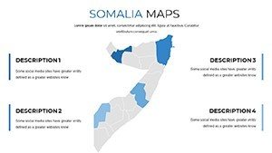
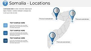
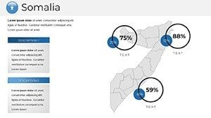
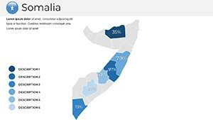
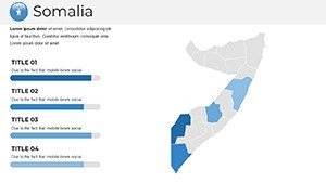
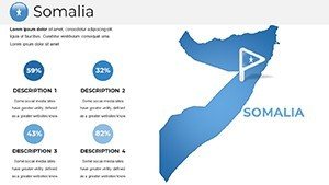
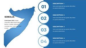
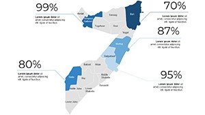
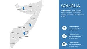
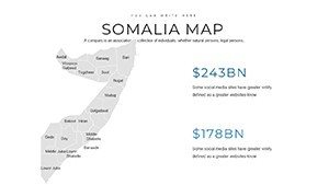
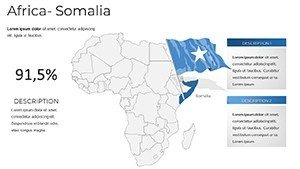
Picture unveiling the intricate landscapes of Somalia in a way that captivates and educates. This PowerPoint template, featuring 37 editable maps, is crafted for those delving into African geopolitics, humanitarian efforts, or economic opportunities. Whether you're a researcher mapping climate impacts in the Horn of Africa, a professor discussing historical migrations, or a NGO coordinator planning aid distributions, these maps provide a robust foundation. High-quality and fully customizable, they integrate seamlessly into PowerPoint, enabling you to overlay data, annotate key regions like Mogadishu or Puntland, and create presentations that drive understanding and action.
The Edge of Professional Somalia Maps in Your Toolkit
Our template redefines presentation standards by blending cartographic precision with adaptable design. Drawing from authoritative sources like the United Nations Cartographic Section, it ensures maps reflect accurate boundaries and features, fostering trust in your content. This mirrors techniques in impactful World Bank reports, where visual accuracy underpins policy discussions.
Essential Features for Impactful Visuals
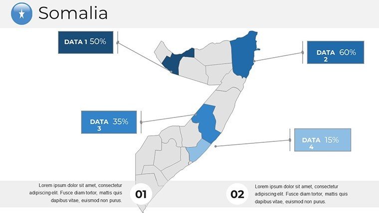
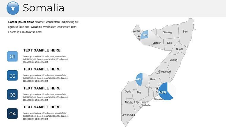
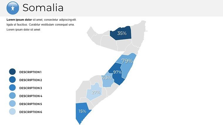
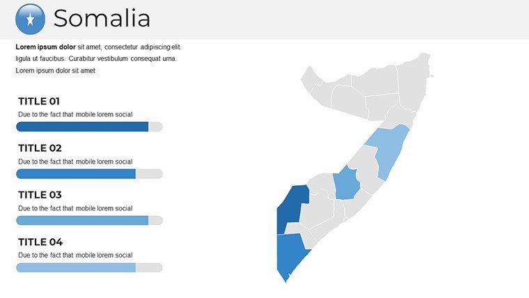
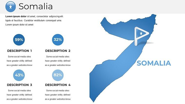
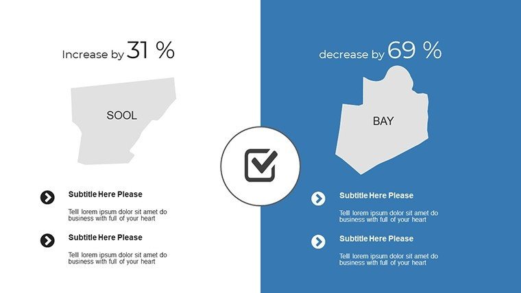
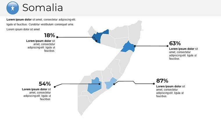
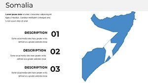
- Professional Visual Appeal: Deliver maps with clean lines and vibrant options, enhancing credibility in discussions on Somalia's coastal economies or inland resources.
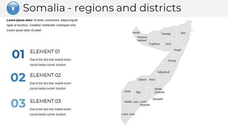
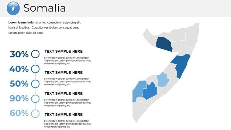
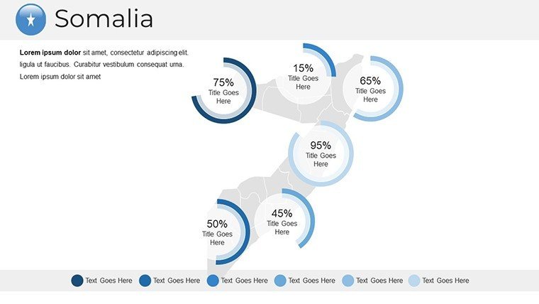
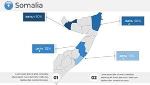
- Enhanced Clarity: Break down complexities like clan distributions or trade routes with intuitive layouts that make data digestible.
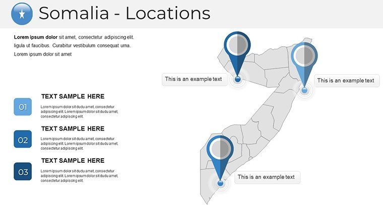
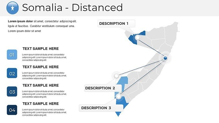
- Audience Engagement Tools: Use dynamic elements to draw viewers in, such as zoomable regions highlighting Somaliland's autonomy debates.
- Deep Customization: Alter labels, colors, and styles - perhaps reds for conflict zones or blues for maritime boundaries - to match your narrative.
- Broad Versatility: Applicable across fields, from academic seminars on Somali culture to business strategies for emerging markets.
Addressing typical hurdles, like sourcing reliable maps, this template provides vector scalability, preventing distortion and reducing design time significantly.
Diverse Applications: From Classroom to Conference Room
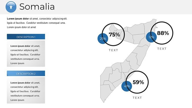
Explore how this template transforms ideas into visuals. For researchers, visualize environmental data: Map drought patterns in the Shabelle River basin, integrating charts from FAO reports to show agricultural impacts.
Detailed Workflow: Humanitarian Aid Planning Presentation
- Initiate with Overview: Use a full-country map, customized to shade regions by need levels based on UN OCHA data.
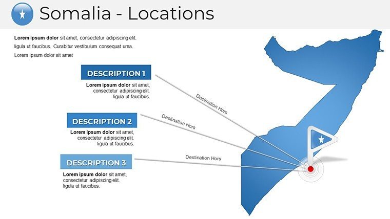
- Detail Specific Areas: Create focused slides on Jubaland, adding annotations for access routes and population centers.
- Overlay Insights: Incorporate graphs of aid distribution, editable for real-time updates during briefings.
- Foster Interaction: Add hyperlinks to external resources, like AMISOM reports, for deeper dives.
- Polish for Delivery: Utilize PowerPoint animations to reveal layers, ensuring a narrative flow that engages stakeholders.
In education, enliven history classes: Trace Somali trade histories with timeline maps, from ancient ports to modern piracy issues, supported by scholarly insights from the African Studies Association.
Business users can strategize investments: Highlight port developments in Berbera with comparative maps against regional competitors, using visuals to underscore opportunities in the Blue Economy.
Superiority Over Default PowerPoint Features
Unlike basic inserts that lack detail, our maps offer layered depth and customization, akin to GIS software but simplified. With proven user satisfaction, it incorporates terms like "Somalia regional maps" organically, boosting discoverability.
Insights from a Mapping Specialist
With expertise in geospatial communication, suggest combining maps with icons for thematic emphasis - e.g., water droplets for hydrology in the Juba Valley. Prioritize legibility with font choices compliant to ADA standards. Leverage PowerPoint's collaboration features for team-based refinements, elevating group projects.
The template's reliability echoes international mapping protocols, ensuring your presentations stand as authoritative resources.
Chart Your Course with Confidence
Move beyond static slides to dynamic explorations. Secure this Somalia PowerPoint Maps Template today and infuse your presentations with depth and professionalism. Your next breakthrough awaits - download and discover.
Frequently Asked Questions
To what extent can I customize the Somalia maps?
Fully, with editable colors, labels, and additions to fit any theme or data set.
Compatible with which PowerPoint versions?
Works flawlessly with modern PowerPoint, including online and desktop variants.
Ideal for research presentations?
Yes, excellent for visualizing data in economics, geography, or social studies.
Download format details?
A .pptx file containing 37 editable slides for quick start.
How to integrate external data?
Easily add charts or text overlays using PowerPoint's native tools.
Any limitations on usage?
None; suitable for educational, commercial, or non-profit purposes.