Lebanon Map PowerPoint Template - Fully Editable Vector Maps | Instant Download


Type: PowerPoint Maps template
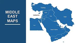
Category: Middle East
Sources Available: .pptx
Product ID: PM00209
Template incl.: 38 editable slides
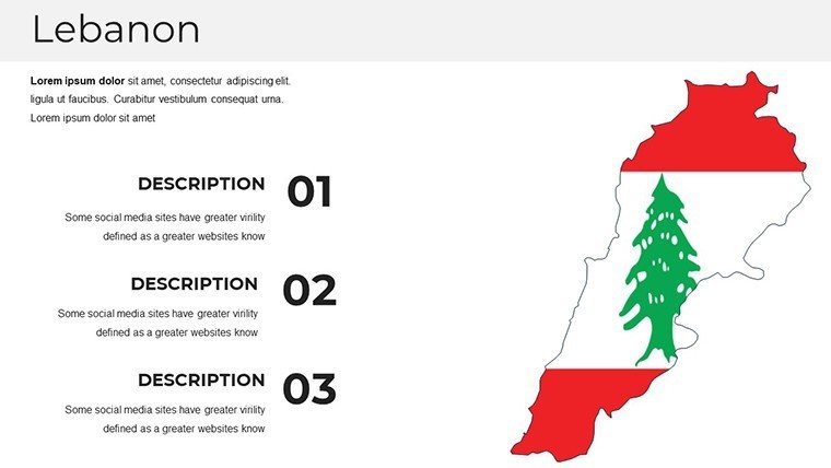
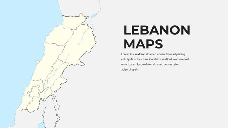
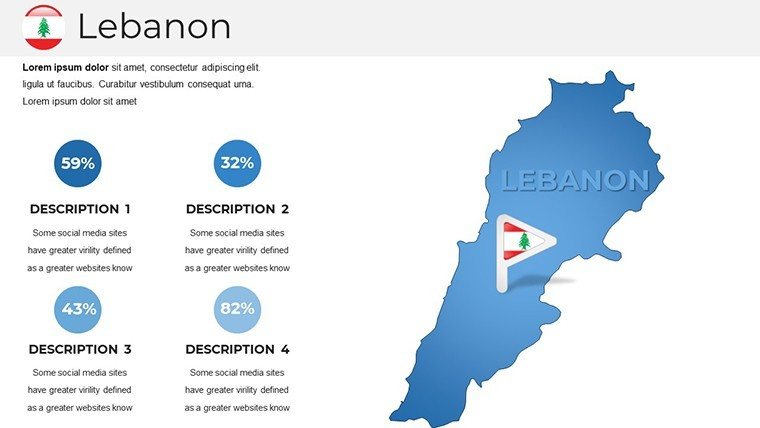
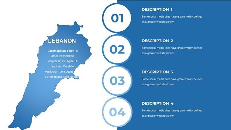
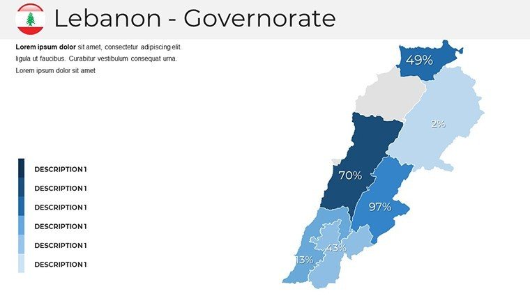
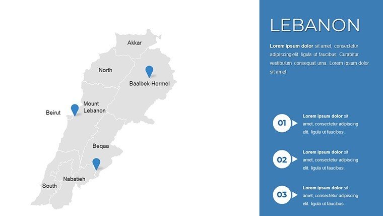
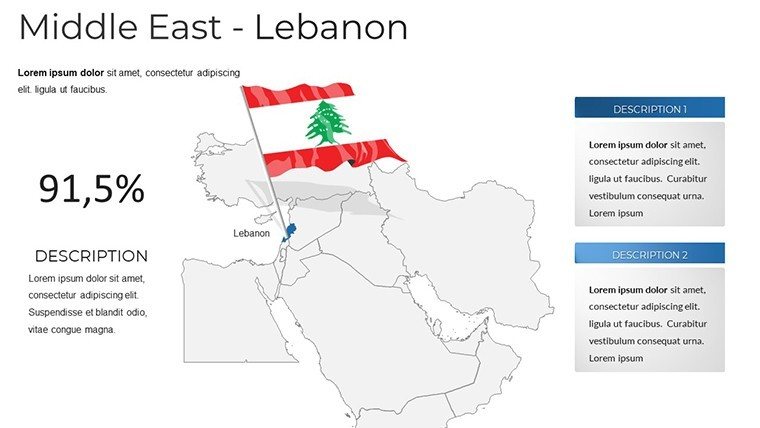
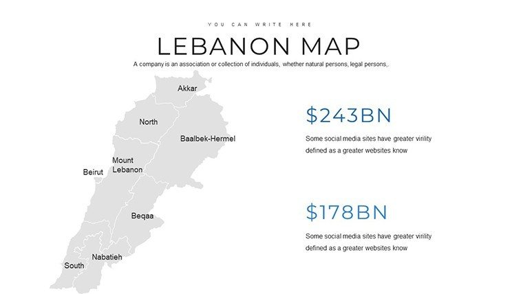
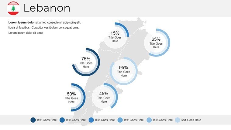
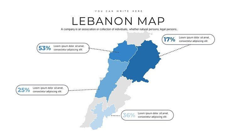
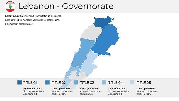
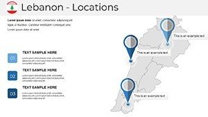
Elevate your presentations with this professional Lebanon Map PowerPoint Template, featuring 38 fully editable slides with high-resolution vector maps that capture the country's diverse geography, coastline, and key regions.
Designed for clarity and impact, this template helps you communicate complex geographical or regional information effectively - whether you're analyzing trade routes, teaching history and culture, promoting tourism destinations, or mapping business operations.
Ready to create compelling, credible visuals? Download instantly and start customizing today.
Key Features
- 38 unique, professionally designed slides
- Fully editable vector graphics - no quality loss when resizing
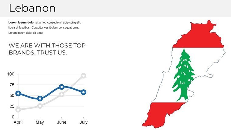
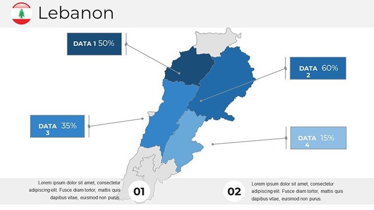
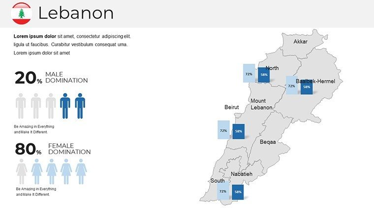
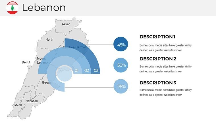
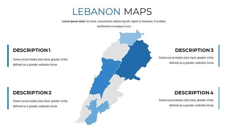
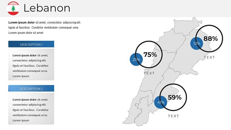
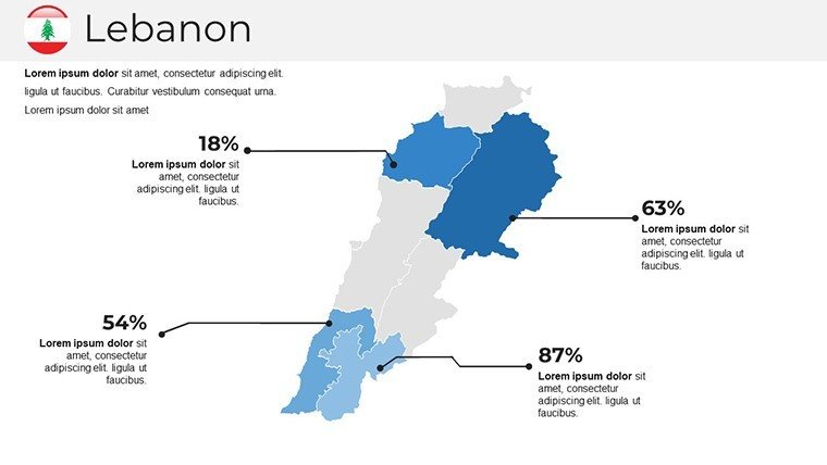
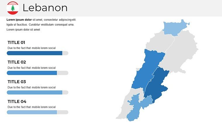
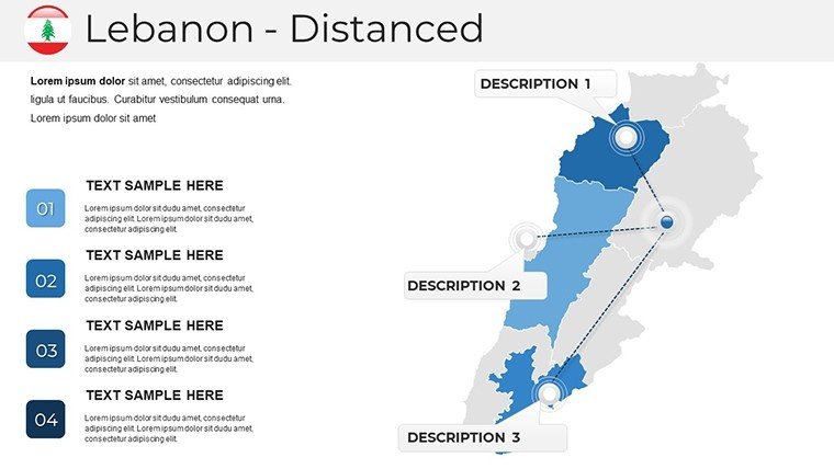
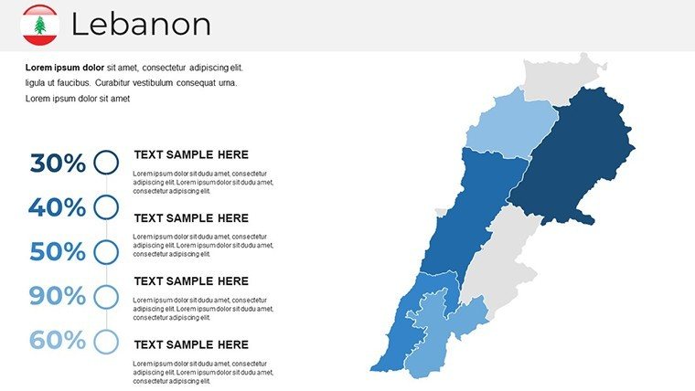
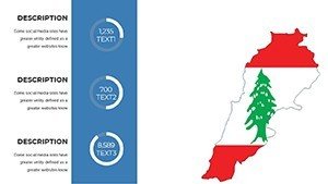
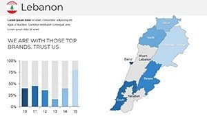
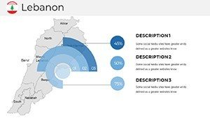
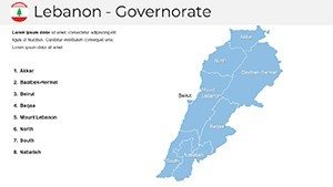
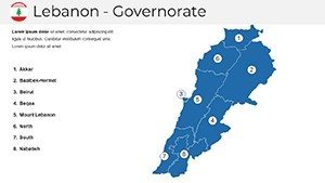
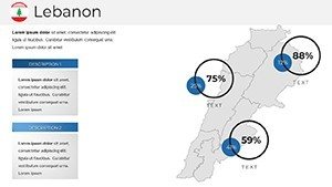
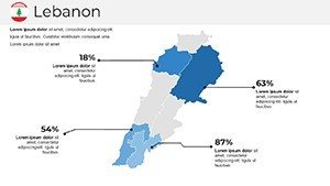
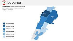
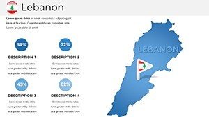
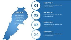
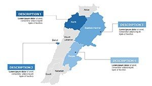
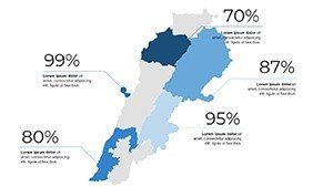
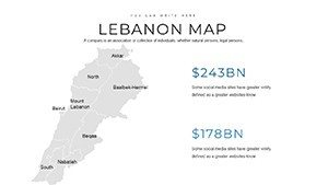
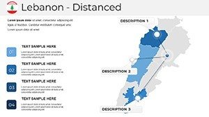
- Varied map styles: physical relief, political divisions, and thematic overlays
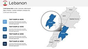
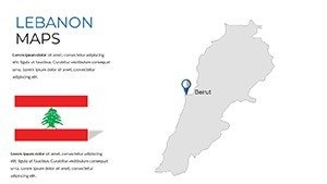
- Editable topographical details including elevations, rivers, and urban centers
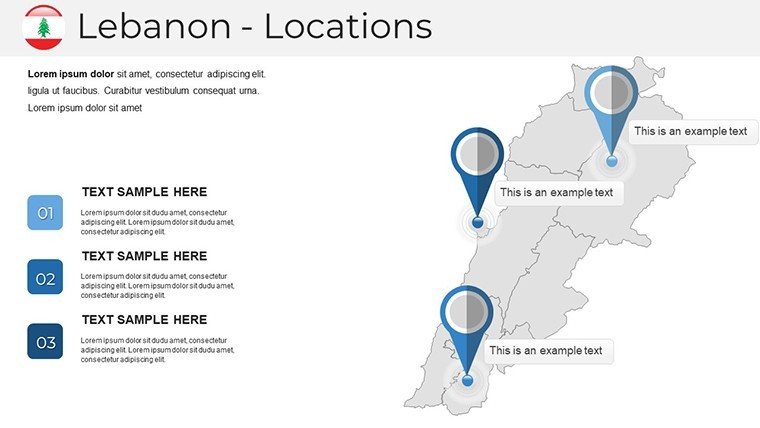
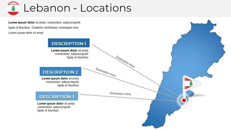
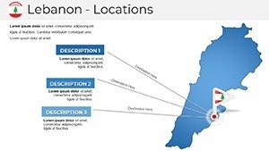
- Drag-and-drop icons for landmarks and points of interest
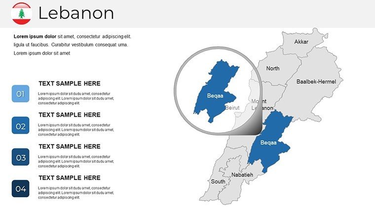
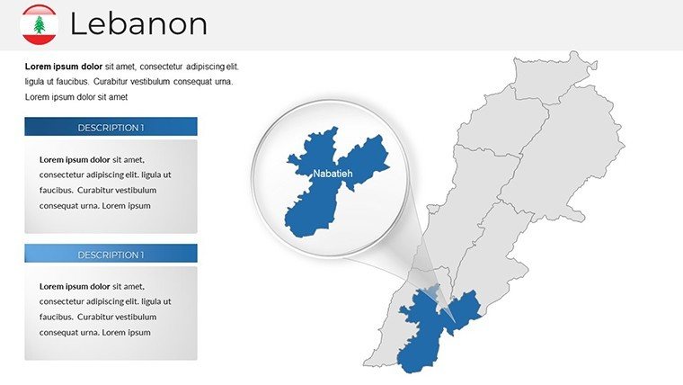
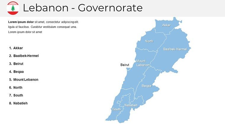
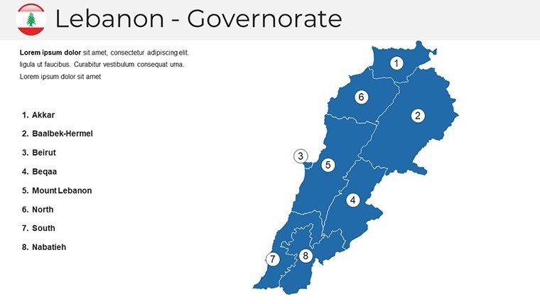
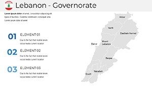
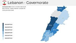
- Comprehensive regional coverage from northern Akkar to southern Tyre
- Compatible with PowerPoint 2010+ and Google Slides
Professional Use Cases
This Lebanon Map PowerPoint Template excels in real-world scenarios where accurate, visually appealing geography matters:
- Business & Consulting: Visualize Mediterranean trade dynamics, market analysis, logistics, or regional investment opportunities.
- Education: Enhance lessons on Levantine history, geography, culture, or current events with detailed, engaging maps.
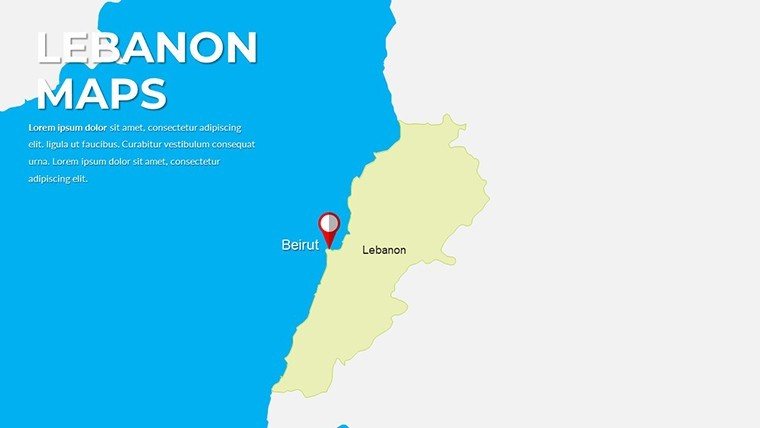
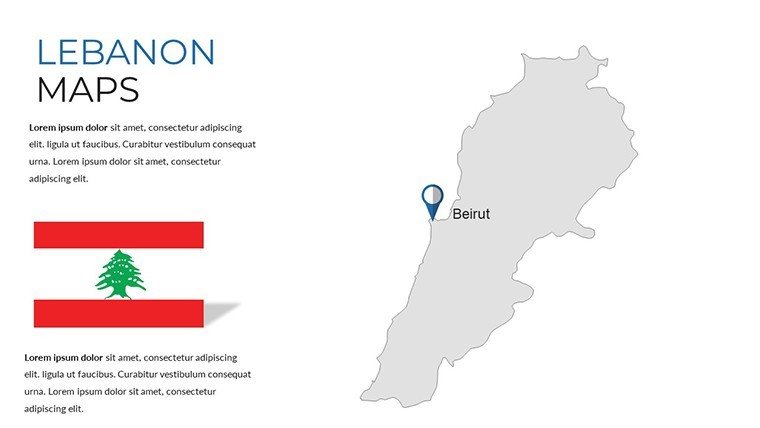
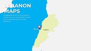
- Travel & Tourism: Highlight attractions like Beirut, Byblos, the Cedars, or coastal destinations in promotional presentations.
- Internal Operations: Map branch locations, project sites, sales territories, or operational footprints within Lebanon.
- Reports & Proposals: Support data-driven insights on demographics, infrastructure, or development initiatives.
How to Customize and Use
After instant download, open the file in PowerPoint or Google Slides. Select your preferred map style, then:
- Change colors to match your brand palette
- Add or edit text labels and data
- Drag icons to pinpoint locations
- Resize or rearrange elements freely
All elements are vector-based for sharp results on any screen or print size. No design expertise needed - focus on your message while the template delivers professional polish.
Frequently Asked Questions
Is the Lebanon Map PowerPoint Template fully editable?
Yes. Every slide and element is 100% editable using standard PowerPoint or Google Slides tools. Modify colors, shapes, text, and layouts with ease.
What software does this template support?
The template is fully compatible with Microsoft PowerPoint 2010 and later versions, as well as Google Slides.
How many slides are included?
The template contains 38 unique editable slides with multiple map variations and layouts for maximum flexibility.
Can I use this template commercially?
Yes. Your purchase includes full commercial usage rights with no additional licensing fees.
Are the maps high-resolution and accurate?
Yes. All maps use professional vector graphics for sharp, high-resolution output and are based on accurate cartographic references.
How do I get the template after purchase?
You receive an instant download link immediately after payment, so you can start using it right away.