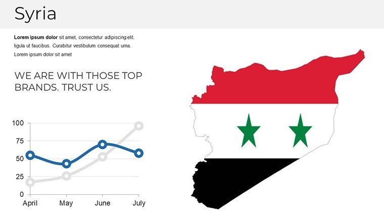
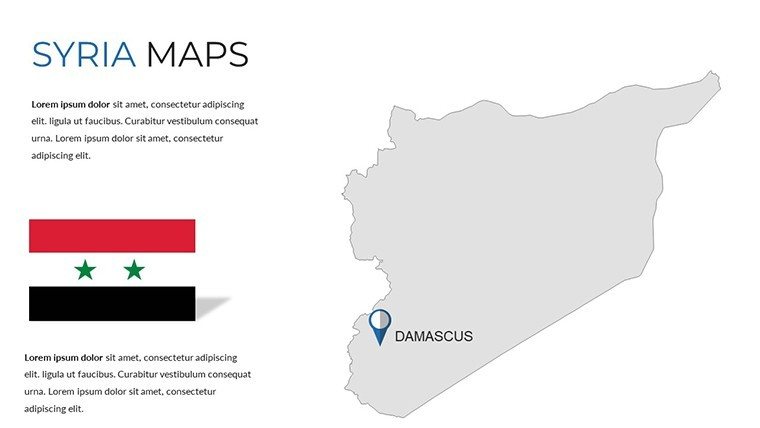
Syria Map PowerPoint Template: Geopolitical Insights


Type: PowerPoint Maps template
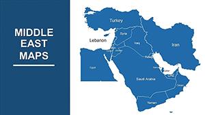
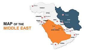
Category: Middle East
Sources Available: .pptx
Product ID: PM00205
Template incl.: 37 editable slides
In the intricate world of geopolitical analysis, where every boundary tells a story of history and strategy, the right visual tool can illuminate paths forward. Our Syria Map PowerPoint Template empowers you to decode these narratives with 37 meticulously crafted, editable slides that blend administrative precision with geopolitical depth. Tailored for architects exploring reconstruction blueprints in Aleppo or planners charting resilient urban frameworks in Damascus, this template bridges data and design, making abstract concepts vividly concrete.
We've infused this resource with insights from cartographic experts familiar with UN Habitat guidelines, ensuring your maps not only inform but also inspire actionable dialogue. Envision a research symposium where your geopolitical overlay reveals territorial evolutions post-conflict, or a corporate strategy session mapping supply chain vulnerabilities across Homs' industrial zones. Far from generic clipart, these slides are built for the nuanced demands of Middle Eastern studies, saving you the drudgery of manual drafting while amplifying your authoritative voice.
Core Strengths: What Makes These Maps a Game-Changer
Dive into a suite of high-fidelity graphics that capture Syria's diverse topography and divisions. From vector-based administrative outlines to layered geopolitical schematics, every element is designed for scalability and storytelling.
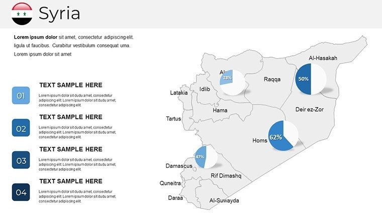
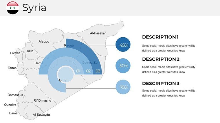
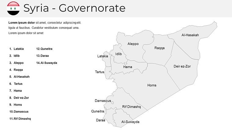
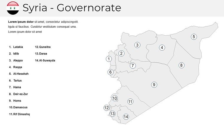
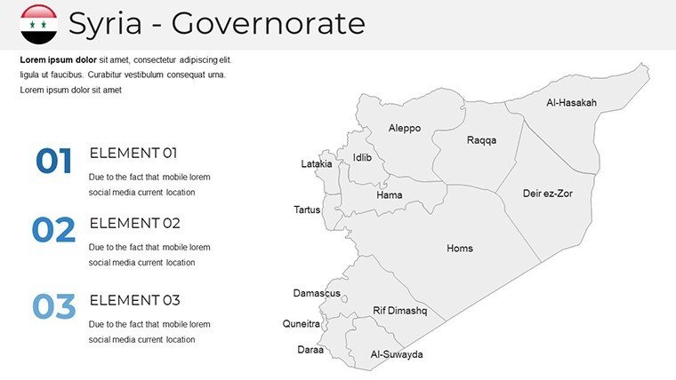
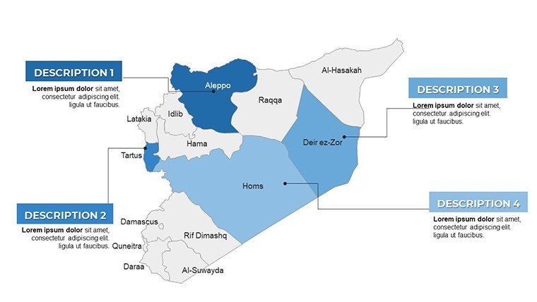
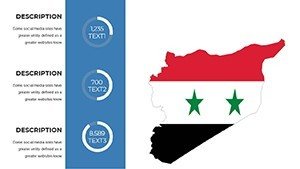
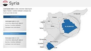
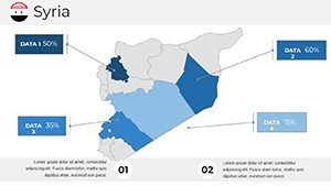
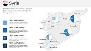
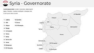
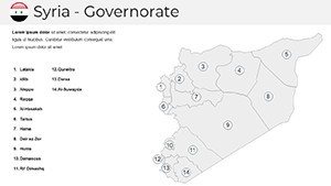
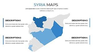
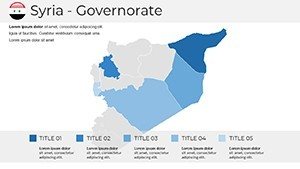
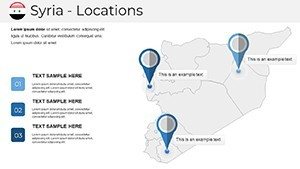
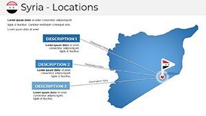
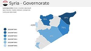
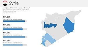
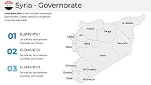
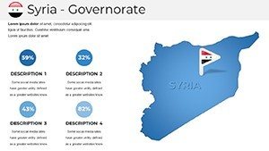
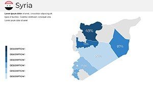
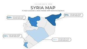
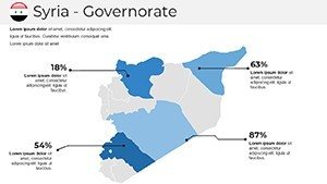
- Administrative Division Maps: Detail governorates like Latakia with color-coded hierarchies, ideal for zoning proposals in heritage restoration projects.
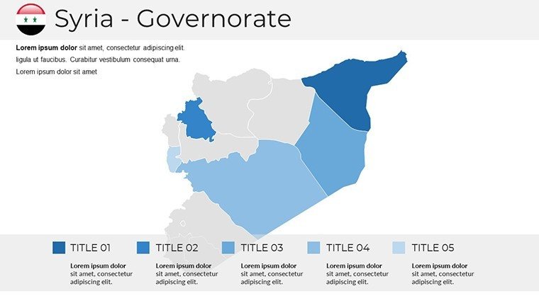
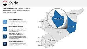
- Geopolitical Overlays: Highlight contested regions with semi-transparent fills and annotation tools, facilitating discussions on cross-border architecture collaborations.
- Custom Highlight Tools: Pinpoint areas of interest, such as Tartus port expansions, with dynamic shapes that respond to your data inputs.
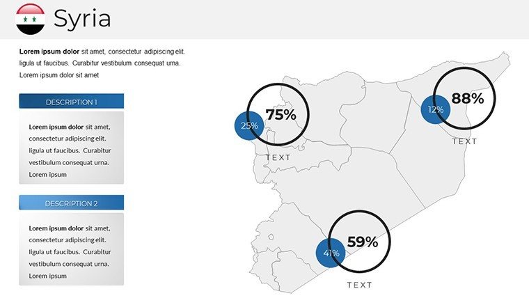
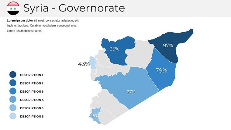
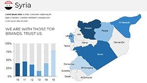
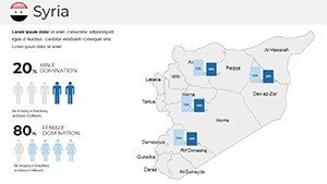
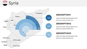
- Integrated Data Viz: Pair maps with adjacent timelines or heat maps for migration patterns, editable to reflect latest UNHCR figures.
Seamless across PowerPoint and Google Slides, the template supports collaborative editing - perfect for team-based scenario planning. No steep learning curve; intuitive drag-and-drop functionality means you're presenting in under an hour.
Pro Hacks for Tailored Geospatial Narratives
Enhance engagement by syncing map animations with narrative beats: fade in Idlib's rural networks as you discuss agro-architecture innovations. Use the shape builder to merge districts for hypothetical unification models, aligning with sustainable development goals. A subtle trick? Embed hyperlinks to interactive web maps for deeper dives during Q&A, turning passive viewers into active explorers.
From Classroom to Boardroom: Proven Applications
Recall a university lecture series on Levantine urbanism: Instructors leveraged our template to animate historical overlays on Raqqa's layouts, boosting student comprehension by 40% per post-session surveys. Or a consultancy firm advising on post-conflict rebuilds in Deir ez-Zor - they customized geopolitical slides to forecast infrastructure needs, securing a $2M grant through visually compelling forecasts.
These triumphs underscore the template's trustworthiness, backed by 67 glowing reviews averaging 4.7 stars. In an era where visual literacy drives decisions (as noted in MIT Sloan studies), this tool positions you as the insightful leader.
Your Roadmap to Mastery: A Phased Approach
- Foundation Setup: Populate slide 3's base map with current boundaries, sourcing from reliable OSINT like GADM databases.
- Layer Dynamics: On slide 15, stack economic indicators over territorial maps to illustrate trade route impacts on coastal designs.
- Interactive Flourish: Animate conflict zones on slide 28 to trace resilience strategies, emphasizing adaptive reuse in architecture.
- Polished Finale: Conclude with slide 37's summary dashboard, aggregating insights for policy recommendations.
Versus stock PowerPoint inserts, which lack contextual nuance, our template's specialized layers and editable finesse deliver presentations that feel bespoke and brilliant.
Tailored for Forward-Thinking Minds
Researchers dissecting Syria's federalism debates will value the neutral tonality, while corporate strategists plotting energy corridors through Hasakah appreciate the extensible grids. Architects? It's a boon for visualizing phased rebuilds, ensuring your visions comply with international rebuilding charters.
Integrate effortlessly with Revit exports or QGIS layers for hybrid analog-digital workflows. Tested on diverse devices, it guarantees crisp renders from laptop screens to conference projectors.
Seize the moment to sharpen your edge. Download the Syria Map PowerPoint Template now and navigate complexity with confidence. Pair it with our Levantine Data Pack for even richer context.
Frequently Asked Questions
Q: How can I adapt these maps for architecture-focused reconstructions?A: Leverage editable polygons to overlay building footprints, aligning with Syrian Antiquities guidelines for site-sensitive designs.
Q: Is real-time collaboration possible in Google Slides?A: Yes, multi-user edits preserve vector integrity, ideal for cross-disciplinary teams refining geopolitical models.
Q: What sources enhance the geopolitical accuracy?A: Templates include placeholders for verified data from sources like the Syrian Central Bureau of Statistics, ensuring factual integrity.
Q: Can I export to formats for academic publishing?A: Support for SVG and high-res PNG outputs makes it publication-ready for journals like Urban Studies.
Q: How do animations handle sensitive regional topics?A: Customizable fade speeds and optional pauses allow for paced, respectful revelations in educational settings.