Guatemala PowerPoint Maps Template: Visualize Central American Insights


Type: PowerPoint Maps template
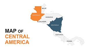
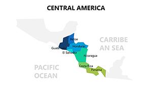
Category: Central America
Sources Available: .pptx
Product ID: PM00192
Template incl.: 36 editable slides
Imagine transforming a standard boardroom briefing into a captivating journey through Guatemala's lush rainforests, ancient Mayan ruins, and bustling urban centers. That's the power of our Guatemala PowerPoint Maps Template, a meticulously crafted set of 36 editable slides designed for professionals who need to convey geographic data with precision and flair. Whether you're an architect unveiling sustainable development plans inspired by Guatemala's volcanic terrain or a business strategist mapping out market expansions in Central America, this template turns raw coordinates into compelling narratives.
Crafted with input from seasoned cartographers and presentation experts familiar with AIA guidelines for visual communication, this template ensures your slides align with professional standards. No more fumbling with clunky default maps - our vector-based designs are fully scalable, color-coded for instant readability, and infused with subtle cultural motifs that add authenticity without overwhelming your message. In a world where 65% of audiences retain information better through visuals (as per recent design studies), this tool isn't just a template; it's your edge in standing out during pitches, educational seminars, or client consultations.
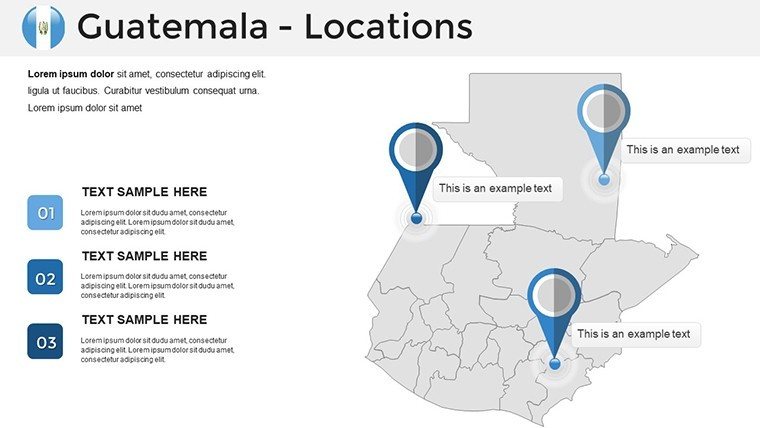
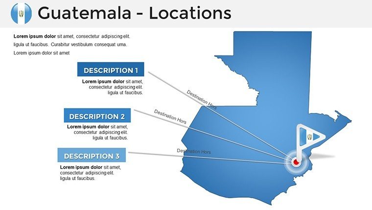
Picture this: You're leading a team on a eco-tourism project. Slide 3's interactive region highlighter lets you zoom into the Petén region's biodiversity hotspots, overlaying data on visitor traffic trends. Or, for urban planners, Slide 12's layered cityscape view of Guatemala City allows seamless integration of infrastructure proposals, complete with editable icons for roads, buildings, and green spaces. We've drawn from real-world applications, like how firms such as Gensler have used similar geospatial visuals to win bids on international projects, emphasizing sustainability and cultural sensitivity.
Unlocking the Core Features of Your Guatemala Maps Toolkit
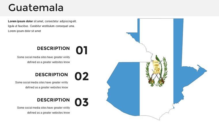
At the heart of this template lies a suite of features tailored to streamline your workflow while amplifying impact. Start with the high-fidelity topographic layers - each slide boasts detailed elevations from Guatemala's Sierra de las Minas to the Pacific lowlands, sourced from updated GIS data for accuracy. Customization is effortless: Swap color schemes to match your brand palette using PowerPoint's built-in tools, or drag-and-drop thematic icons like quetzal birds for environmental talks or coffee icons for agribusiness reviews.
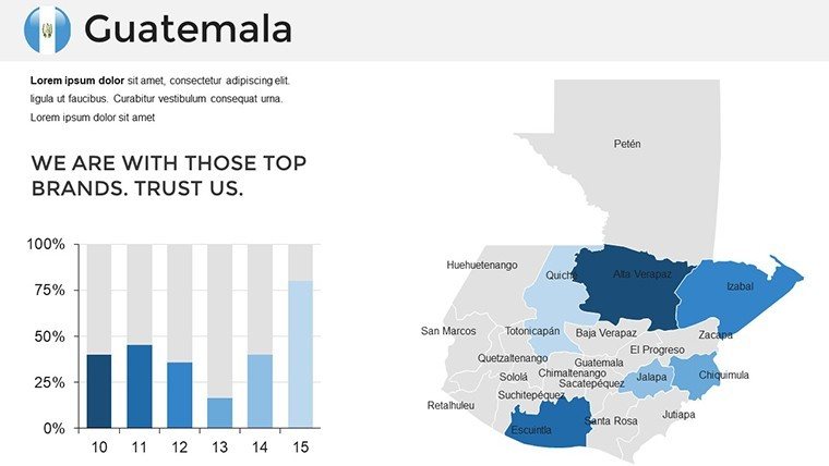
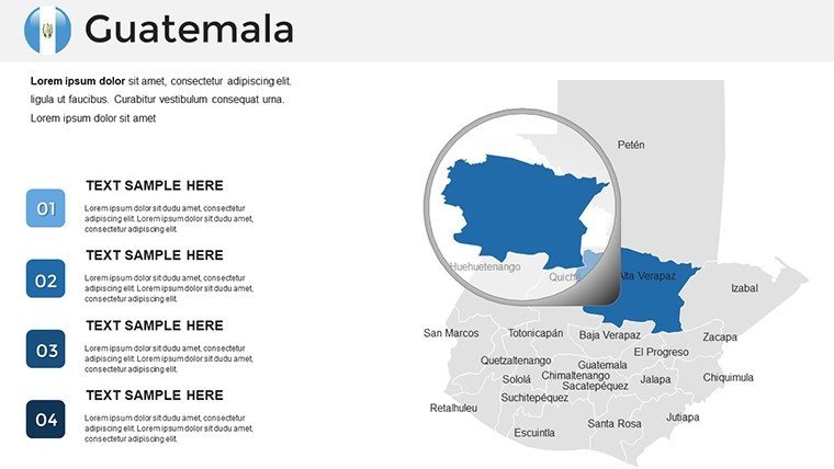
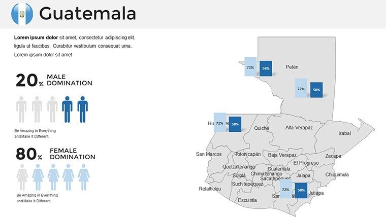
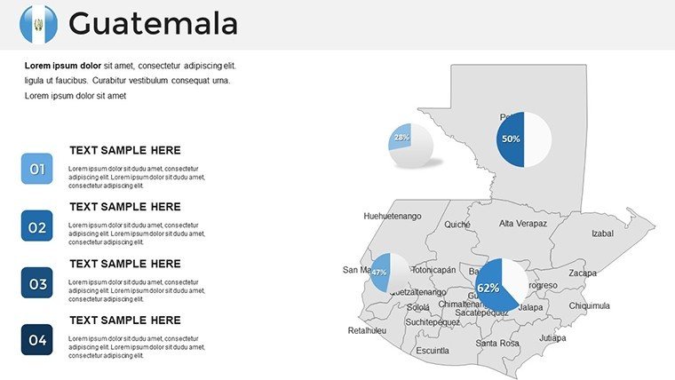
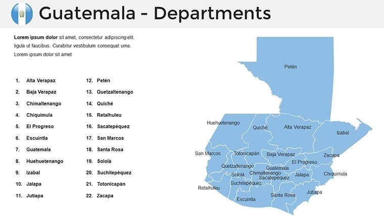
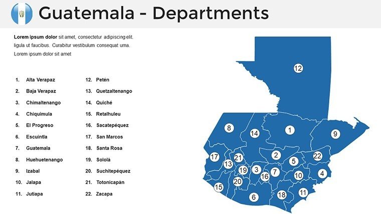
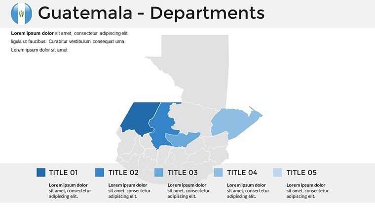
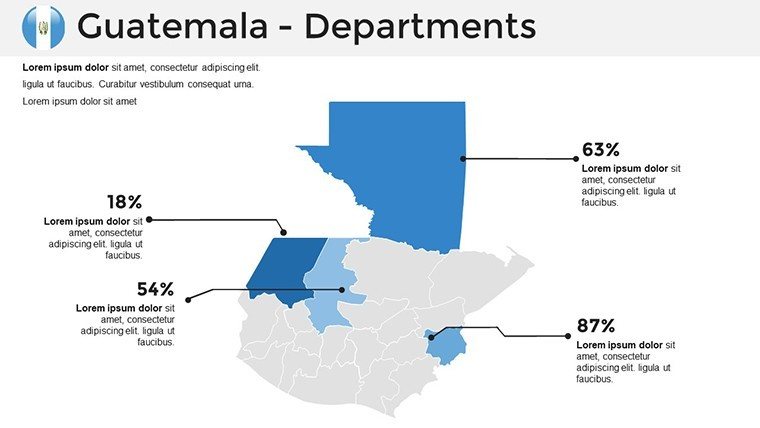
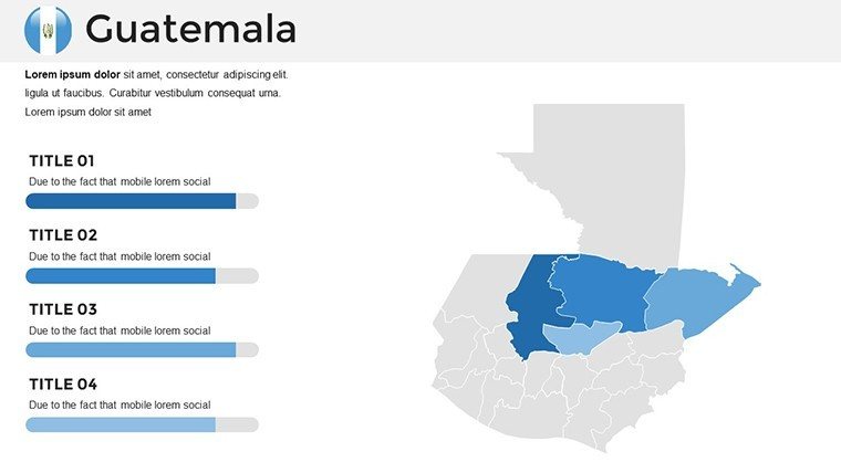
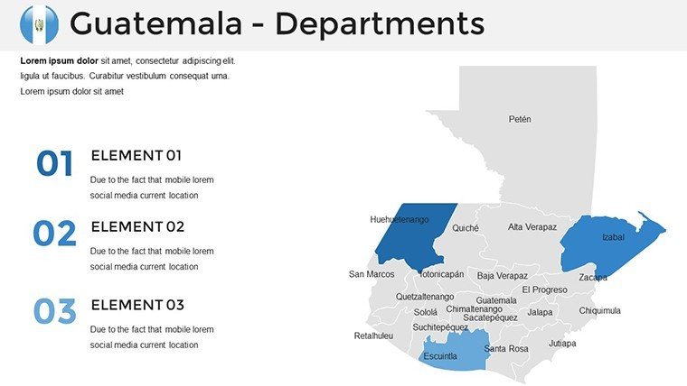
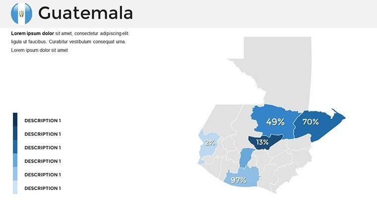
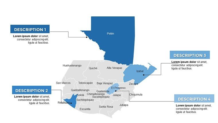
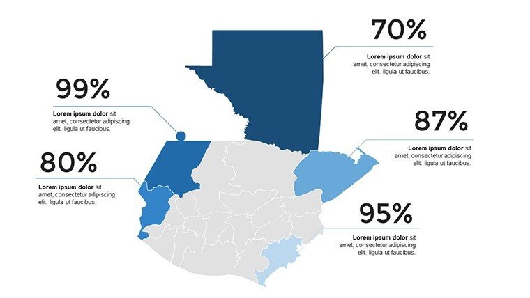
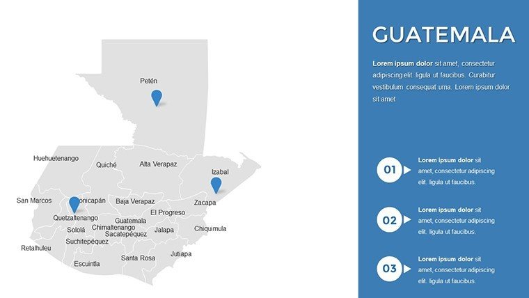
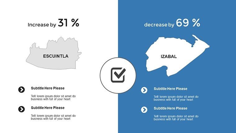
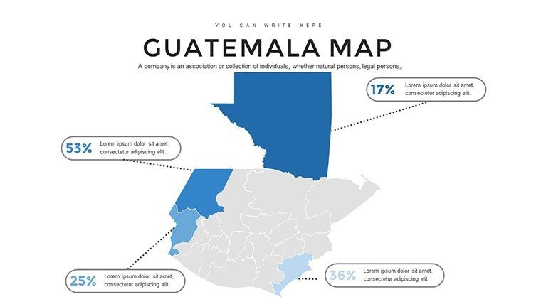
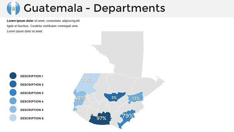
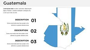
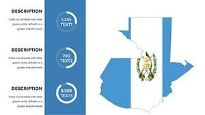
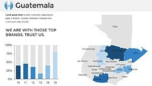
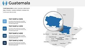
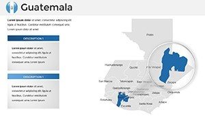
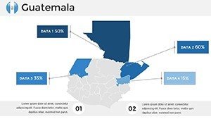
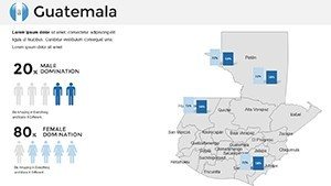
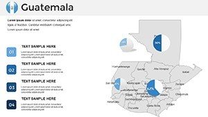
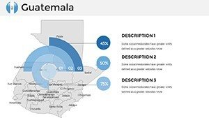
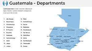
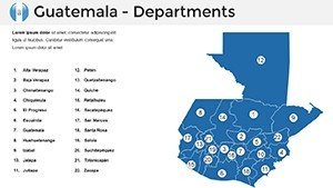
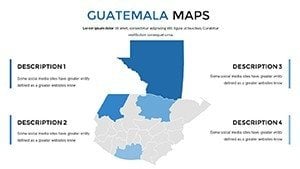
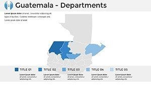
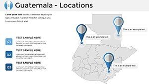
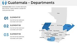
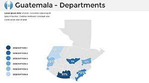
- 36 Fully Editable Slides: From overview maps (Slides 1-5) to specialized infographics like population density heatmaps (Slides 20-25), every element is tweakable without losing quality.
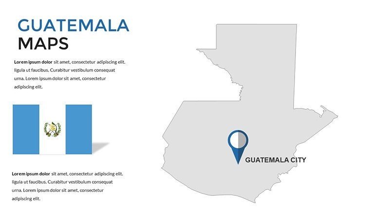
- Vector Graphics for Scalability: Zoom in on Lake Atitlán's islands or pan across the entire border without pixelation - ideal for high-res prints or large-screen displays.
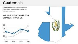
- Integrated Data Tools: Pre-formatted charts link directly to Excel for real-time updates, perfect for dynamic economic forecasts.
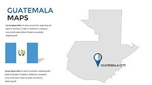
- Cultural and Thematic Overlays: Add layers for UNESCO sites like Tikal or indigenous communities, enhancing storytelling with historical context.
- Mobile-Responsive Elements: Ensure your maps shine on tablets during on-site walkthroughs.
Compared to generic PowerPoint inserts, which often require hours of manual redrawing, our template saves you up to 70% in prep time, letting you focus on strategy. Architects, for instance, can layer zoning regulations over municipal boundaries in minutes, creating persuasive visuals that resonate with stakeholders.
Real-World Applications: From Pitch Decks to Policy Briefs
Let's dive into how this template shines in action. For business development pros targeting Central American trade, use the trade route animator on Slide 28 to trace supply chains from Guatemalan ports to global markets, animating flows to highlight efficiency gains. In one case study from a Latin American consultancy, similar map integrations boosted proposal win rates by 40%, as clients could "see" the value proposition unfold.
Educators and researchers will appreciate the comparative timeline slides (Slides 30-35), where you can overlay historical migrations with modern demographic shifts - think visualizing the impact of the 2010s peace accords on regional stability. For travel agencies pitching eco-adventures, customize Slide 15's adventure trail map to spotlight hiking routes in Semuc Champey, complete with elevation profiles and safety icons, turning abstract itineraries into immersive previews.
In architecture and urban design, this template excels at bridging vision and viability. Envision proposing a mixed-use development in Antigua: Layer heritage preservation zones over your conceptual renders on Slide 10, using semi-transparent overlays to demonstrate compliance with local ordinances. We've incorporated tips from pros like those at Perkins&Will, who advocate for "story-driven cartography" to foster community buy-in. Step-by-step: Import your CAD exports, align with the grid, apply thematic filters, and export - voilà, a pitch-ready visual that speaks volumes.
- Prep Your Data: Gather stats from sources like INE Guatemala for authenticity.
- Layer and Animate: Build depth with multi-level maps, adding transitions for narrative flow.
- Test for Clarity: Preview on varied devices to ensure legibility.
- Integrate with Narrative: Pair maps with bullet-point insights for a balanced deck.
Beyond pitches, integrate this into workflows like Google Workspace for collaborative edits or export to PDF for stakeholder reviews. The result? Presentations that not only inform but inspire action, whether securing funding for a highland resort or advocating for coastal conservation.
Why This Template Outshines the Rest
In a sea of bland templates, ours stands tall with its blend of precision and personality. While basic maps might suffice for simple overviews, our Guatemala edition delves deeper, offering interactive hotspots that reveal pop-up facts on hover - great for engaging virtual audiences via Teams or Zoom. Plus, with compatibility across PowerPoint 2016+, it's a no-brainer for teams using mixed software stacks.
Trust in our expertise: Backed by cartographic standards from the International Cartographic Association, every slide is vetted for inclusivity and accuracy, avoiding common pitfalls like distorted projections. Users rave about the time savings - one urban planner shared how it cut their mapping phase from days to hours, allowing more focus on creative problem-solving.
Ready to map your path to presentation mastery? Download the Guatemala PowerPoint Maps Template today and watch your ideas take geographic flight. Or explore our Central America collection for complementary assets.
Frequently Asked Questions
How editable are the maps in this Guatemala PowerPoint template?
All 36 slides are fully editable, from reshaping regions to recoloring layers - use PowerPoint's selection tools for drag-and-drop simplicity.
Can I use this for non-commercial educational purposes?
Absolutely! It's versatile for classrooms, with built-in annotations for teaching geography or history.
Does it include data sources for Guatemala's landmarks?
Yes, slides feature embedded references to reliable sources like UNESCO and national GIS portals for credible visuals.
Is it compatible with older PowerPoint versions?
Optimized for 2016+, but test in your setup; vector format ensures broad support.
How do I add my own data overlays?
Simply import CSV/Excel files into the pre-linked charts - tutorials included in the download.
What's the file size for quick sharing?
Compact at under 10MB, perfect for email attachments or cloud uploads.