Greece PowerPoint Maps: Bring Ancient Lands to Modern Audiences


Type: PowerPoint Maps template
Category: Europe
Sources Available: .pptx
Product ID: PM00188
Template incl.: 36 editable slides
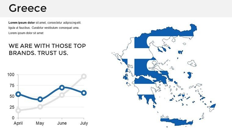
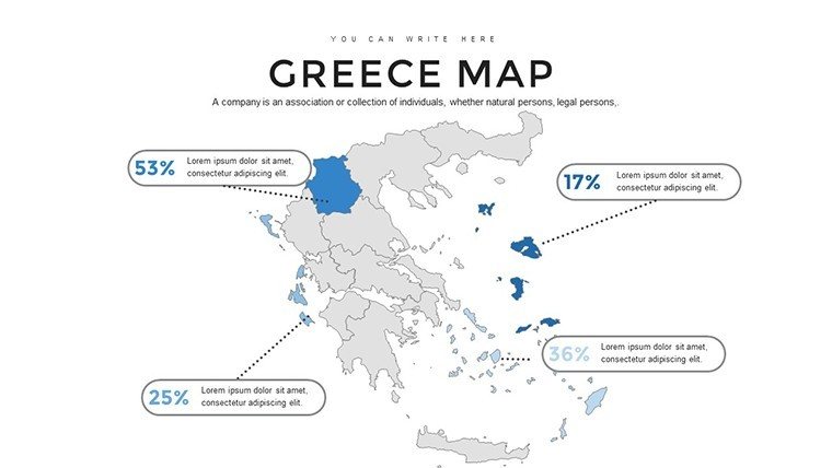
Step into a realm where the cradle of democracy meets cutting-edge visuals. Our Greece PowerPoint Maps Template, boasting 36 editable slides, invites you to weave tales of mythic islands and bustling metropolises. Ideal for historians charting the spread of Hellenistic culture, business leaders eyeing Aegean investments, or tour operators showcasing sun-kissed beaches from Athens to Santorini, this tool elevates your delivery. With regional, city, and thematic maps at your fingertips, customize to reveal insights like tourism booms post-2023 recovery, as noted in Greek National Tourism Organization reports.
The template's strength lies in its adaptability - alter colors to evoke olive groves or azure seas, add markers for archaeological wonders, and blend in graphs for economic narratives. Fully compatible with PowerPoint (.pptx) and Google Slides, it streamlines your workflow, turning raw ideas into polished presentations without the hassle of starting from scratch.
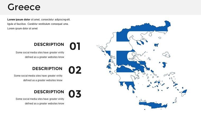
Unveiling the Excellence of Greek Geographic Visuals
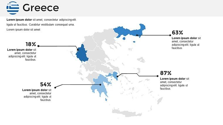
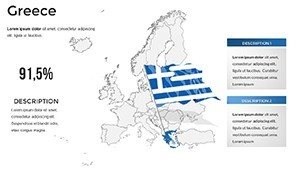
Precision-crafted with high-quality outlines, this template adheres to cartographic standards akin to those from the Hellenic Military Geographical Service, guaranteeing authenticity. Envision a travel executive using thematic maps to highlight yacht routes in the Cyclades, supported by data from the 2024 yachting industry surge.
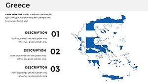
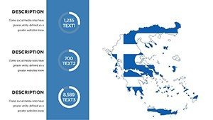
Standout Features for Captivating Slides
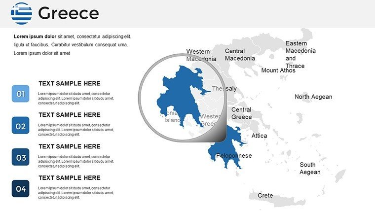
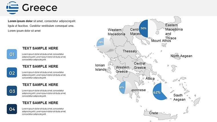
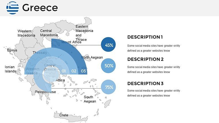
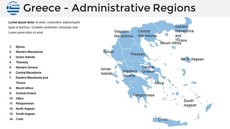
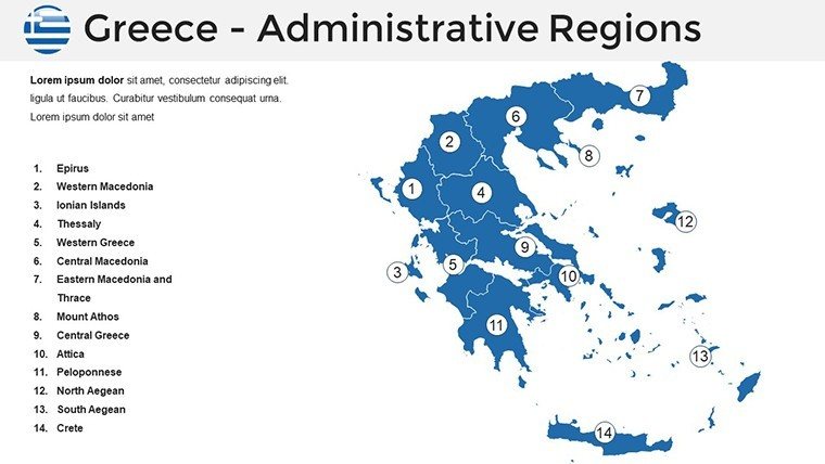
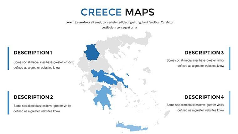
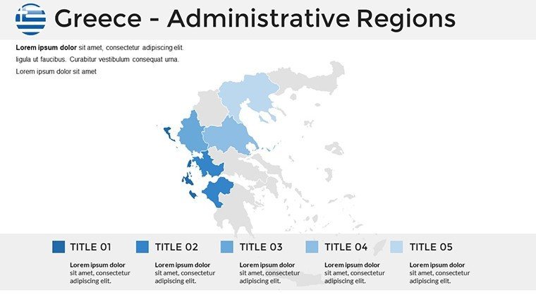
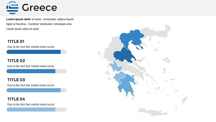
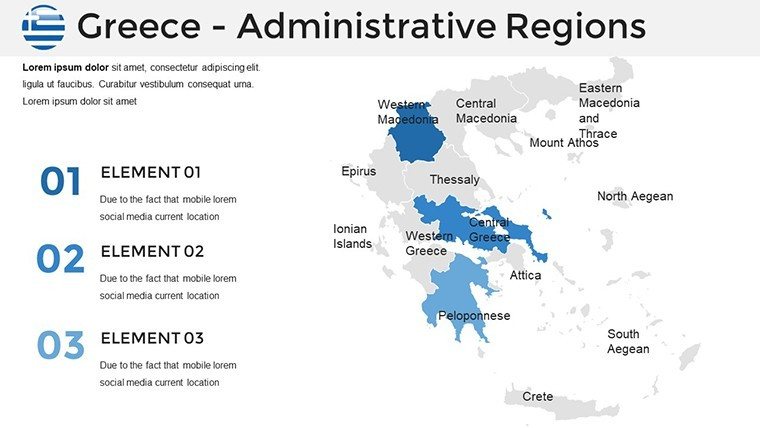
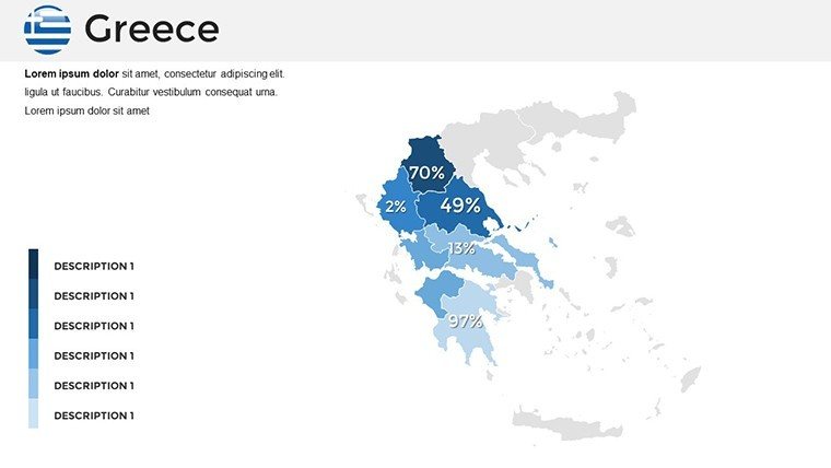
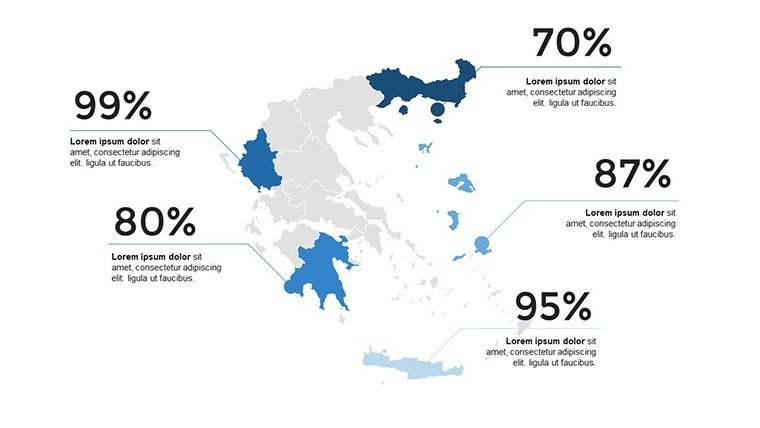
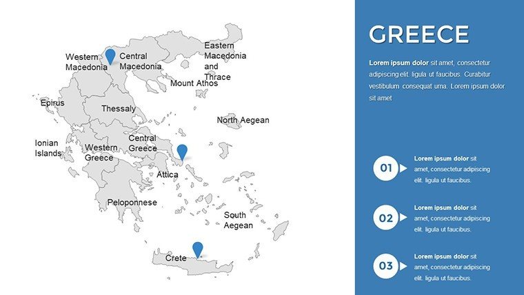
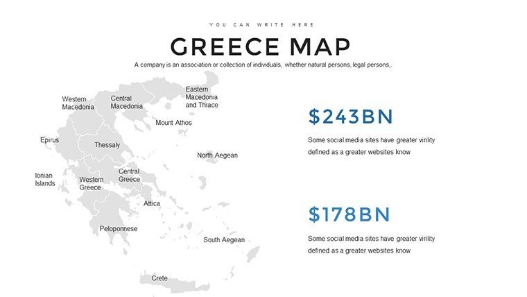
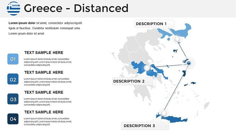
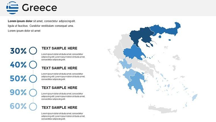
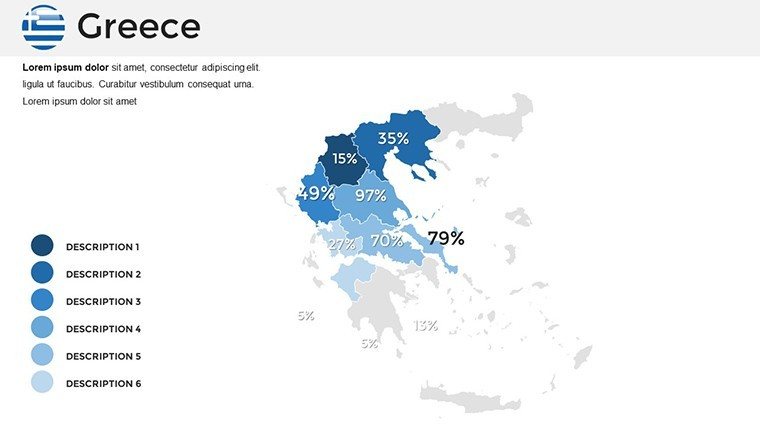
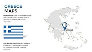
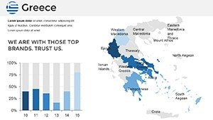
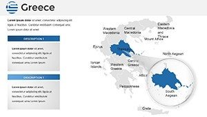
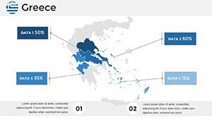
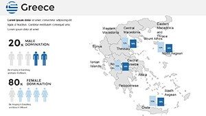
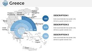
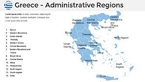
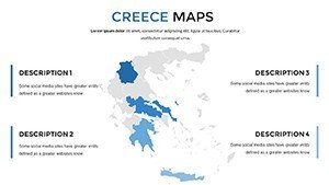
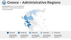
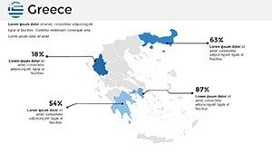
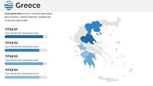
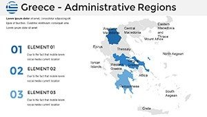
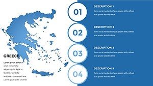
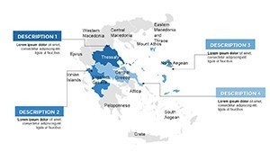
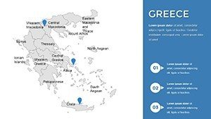
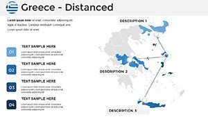
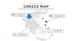
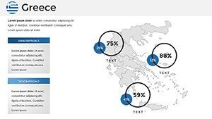
- Varied Map Styles: From detailed regional divisions to urban close-ups, covering hotspots like Thessaloniki's ports.
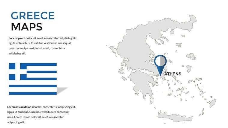
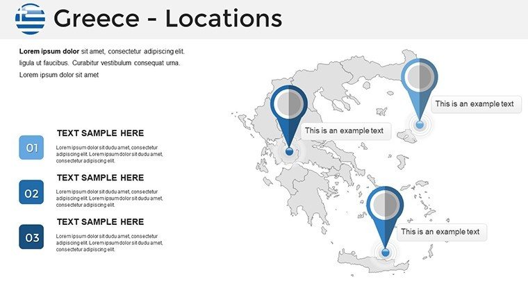
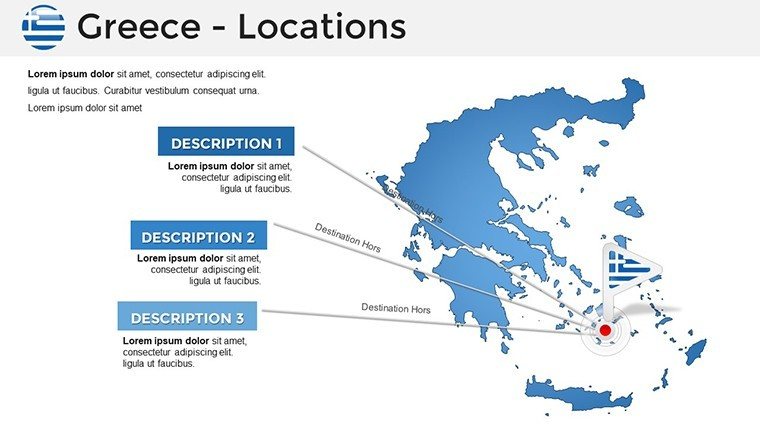
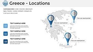
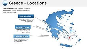
- Icon and Marker Library: Pin sites like the Acropolis or Delphi for interactive emphasis.
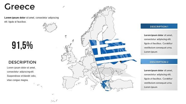
- Customization Depth: Modify text, hues, and layouts to fit themes, such as blue-white for national pride.
- Precision Graphics: High-res vectors that retain sharpness in any zoom or print.
- Tutorial Inclusion: Built-in guides for best practices, like layering data on historical timelines.
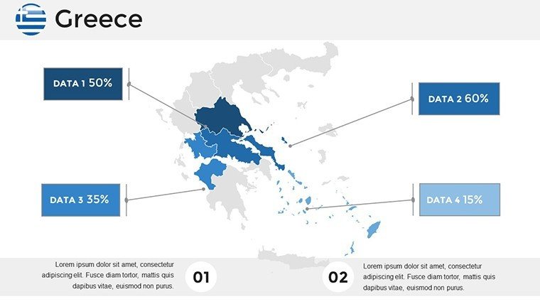
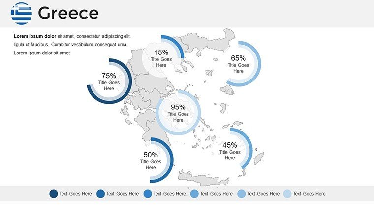
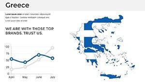
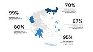
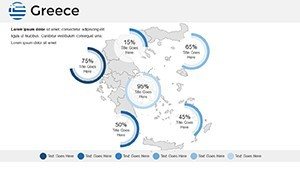
- Versatile Integration: Embed sales charts or demographic pies effortlessly.
These attributes tackle the tedium of map creation, offering ready-to-use assets that enhance clarity and engagement in every slide.
Practical Scenarios: Mapping Greece's Diverse Narratives
Harness this template for scenarios that demand vivid portrayal. A professor might animate the Peloponnesian War's battles, while an NGO maps refugee routes across the Aegean, referencing UNHCR statistics.
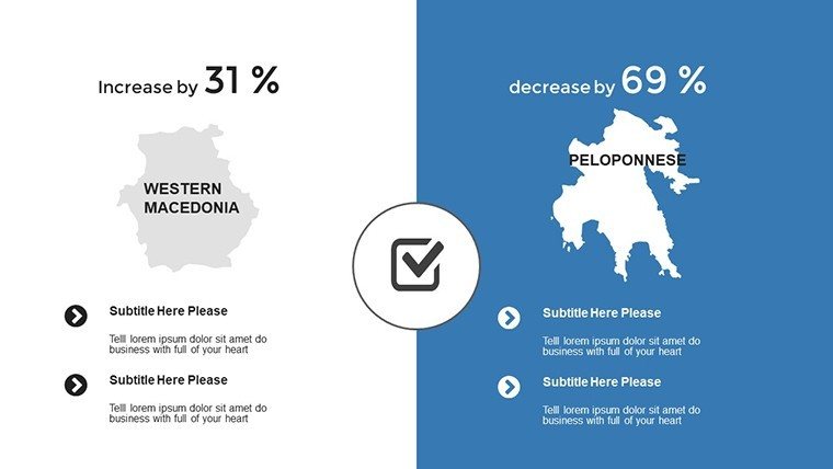
- Corporate Expansions: Visualize logistics in the Peloponnese, pinpointing hubs for olive oil exports.
- Educational Engagements: Explore mythology with marked sites, fostering student interaction.
- Tourism Strategies: Craft itineraries spotlighting Crete's Minoan palaces and modern resorts.
- Research Dissemination: Graph seismic activity in earthquake-prone zones, drawing from geological surveys.
Outpacing basic tools, it includes tutorials and icons, potentially halving design time while doubling visual appeal - your shortcut to professional polish.
Expert Advice for Greek Map Utilization
Kick off by aligning map styles with your story - regional for broad overviews, city for granular details. Employ animations to unveil layers, like revealing trade routes over time. Link to credible sources, such as the Greek Ministry of Culture, for enriched context. Test on varied screens for universal appeal, and mix humor lightly, perhaps noting how maps make even Sparta's stoicism engaging.
Embrace design principles from acclaimed cartographers to infuse authority, making your presentations not just seen, but remembered.
Forge Lasting Impressions with Greek Elegance
In closing, these maps bridge past glories to future visions, equipping you to present Greece's essence with flair. From economic forecasts to cultural celebrations, they amplify your message.
Embark on your visual odyssey - secure this template and redefine how you share Greece's stories.
Frequently Asked Questions (FAQ)
Are the maps fully customizable?
Yes, edit colors, text, and elements freely to suit your needs.
Does it work with Google Slides?
Certainly, compatible with both PowerPoint and Google Slides for flexibility.
What map variations are available?
Includes regional, city, and thematic maps for diverse applications.
Is there a tutorial included?
Yes, with tips on modifications and best practices.
Can I add my own icons?
Absolutely, integrate custom markers alongside the provided library.