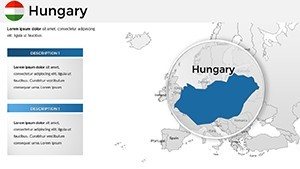
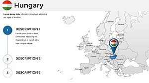
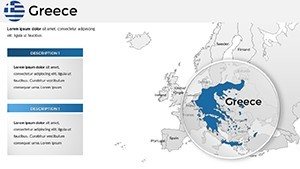
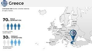
Editable EU Maps PowerPoint Template: 61 Slides


Type: PowerPoint Maps template
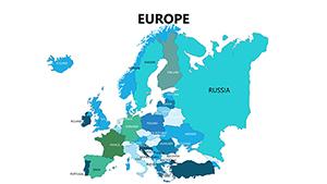
Category: Europe
Sources Available: .pptx
Product ID: PM00175
Template incl.: 61 editable slides
Imagine transforming your next presentation into a captivating journey across Europe. Whether you're a business strategist mapping market expansions, an educator illustrating historical unions, or a travel enthusiast sharing itineraries, our European Union Country PowerPoint Maps Template is your ultimate tool. With 61 fully editable slides, this template goes beyond basic outlines - it's a versatile canvas designed to make complex geographical data accessible and engaging. Forget spending hours on custom designs; dive straight into customization that aligns with your narrative. Tailored for professionals who demand precision and flair, this template supports seamless integration with PowerPoint, ensuring compatibility across versions. You'll find detailed maps highlighting each EU nation's borders, capitals, and key regions, ready for your data overlays. The benefits? Save time, impress stakeholders, and convey insights with visual clarity that words alone can't achieve. From corporate boardrooms to classroom lectures, this template adapts to your needs, helping you spotlight trends like economic growth or cultural exchanges. Let's explore how this powerhouse can revolutionize your slides.
Discover the Core Features of Our EU Maps Template
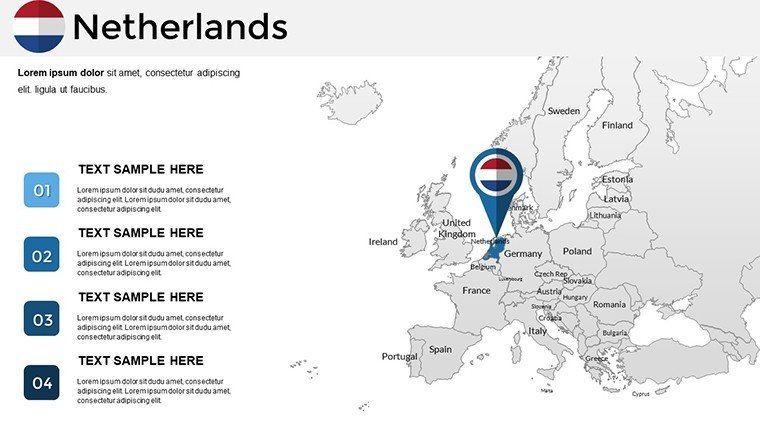
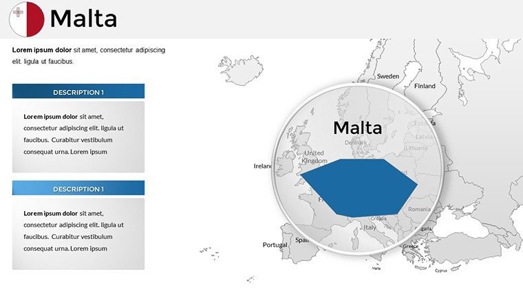
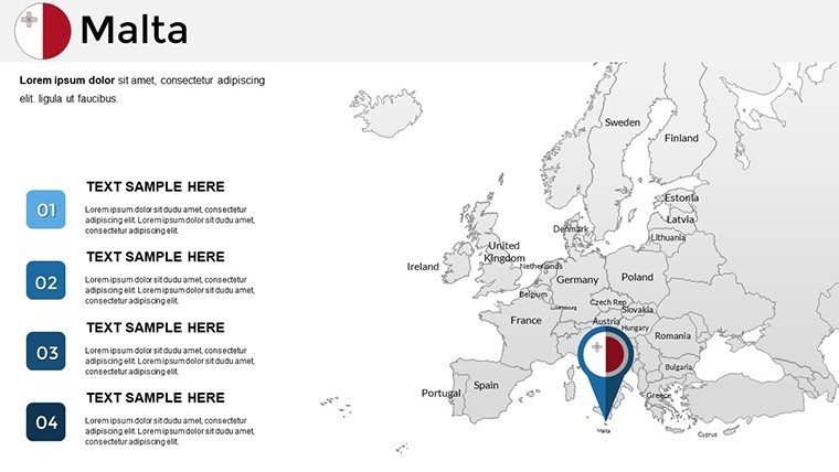
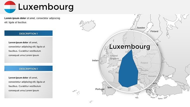
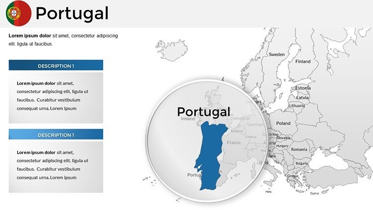
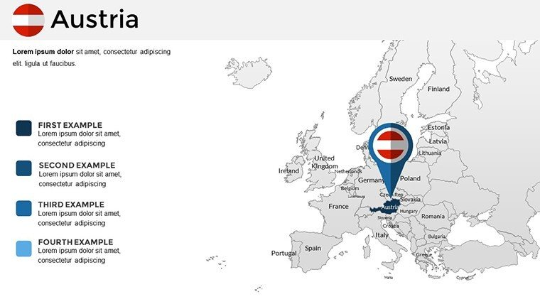
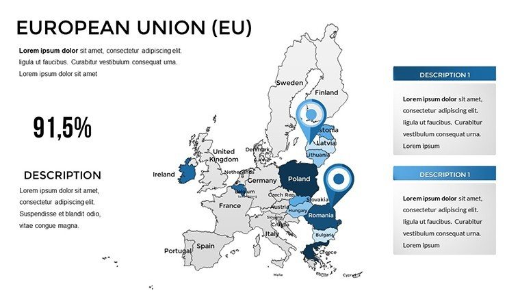
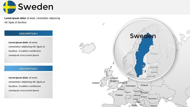
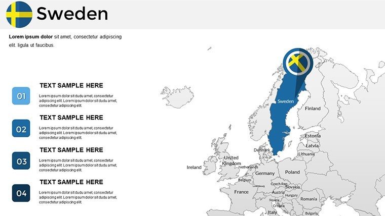
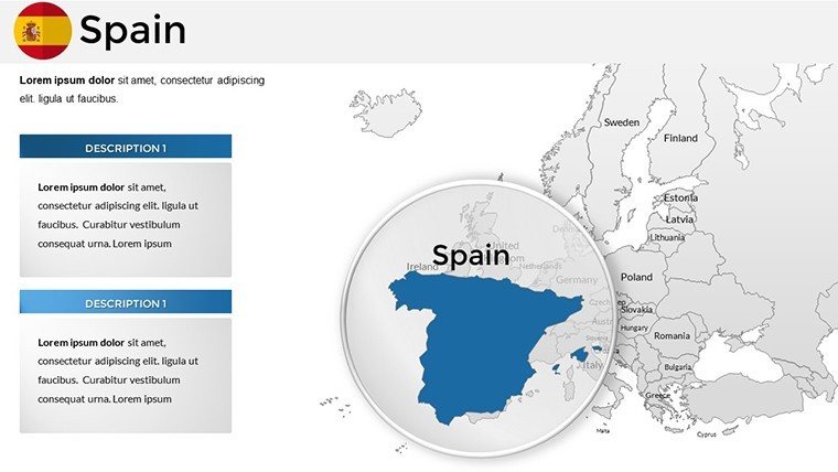
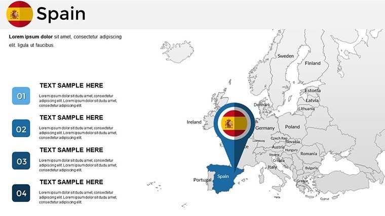
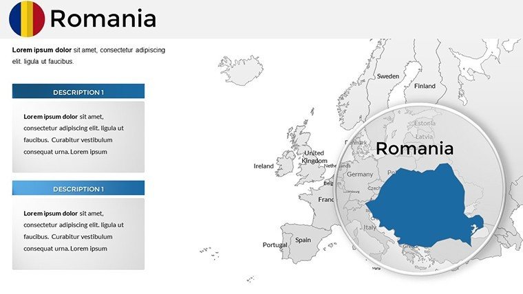
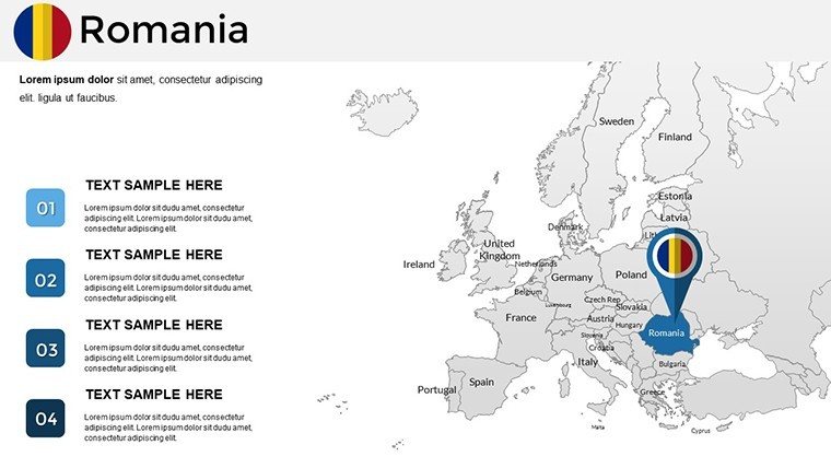
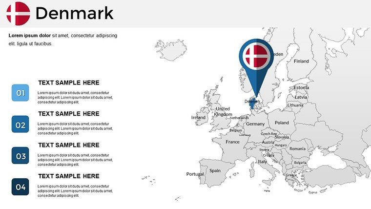
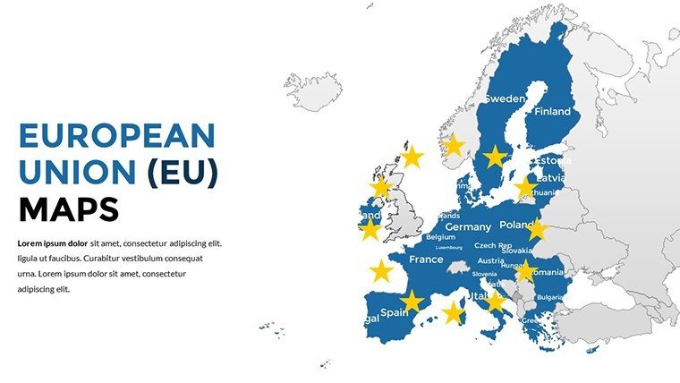
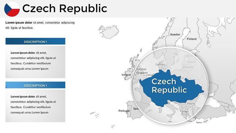
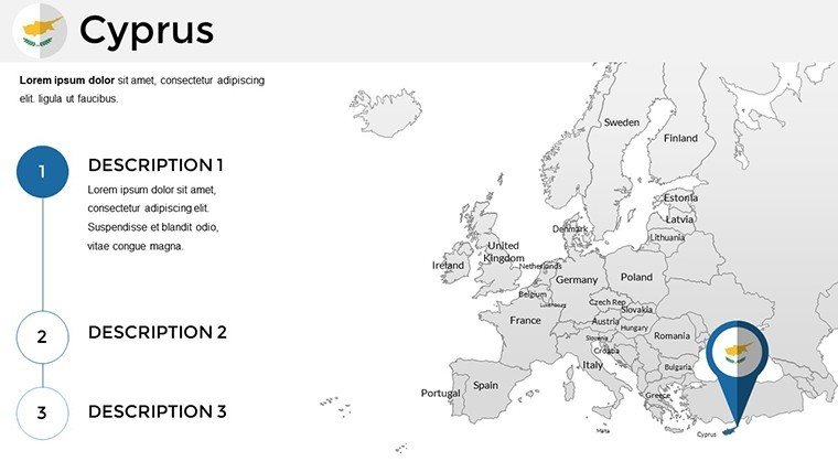
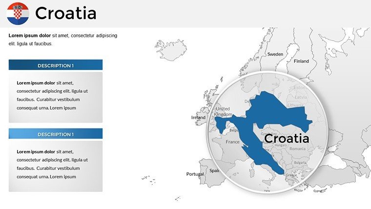
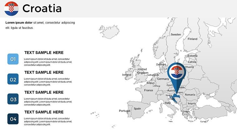
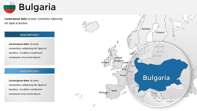
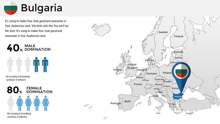
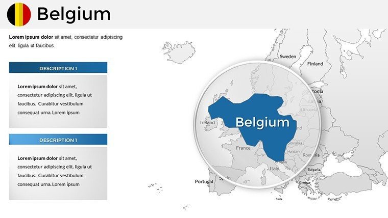
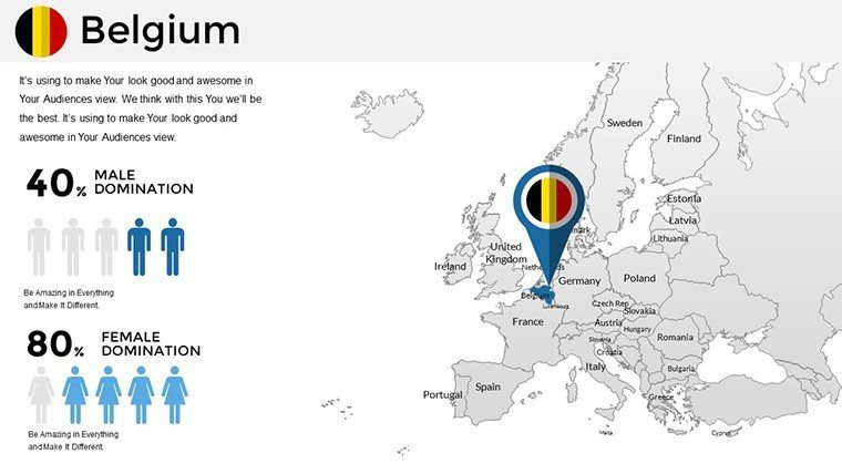
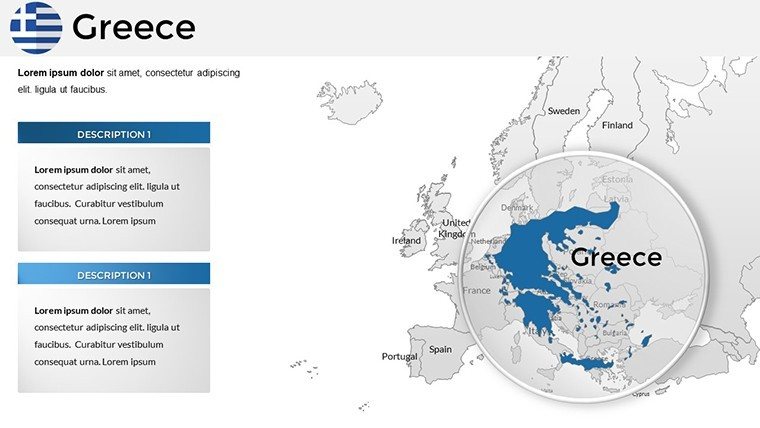
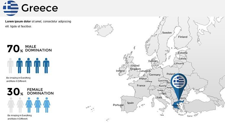
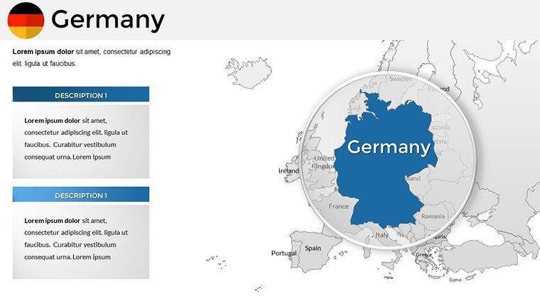
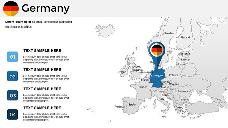
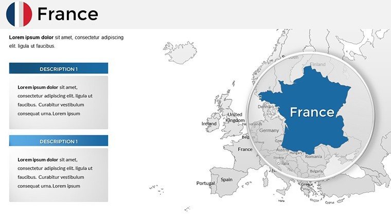
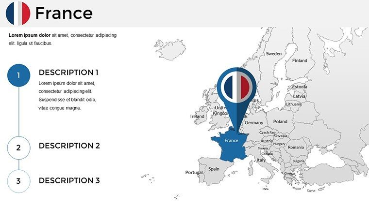
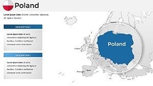
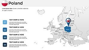
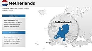
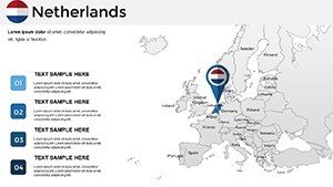
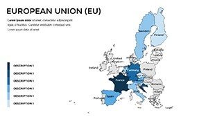
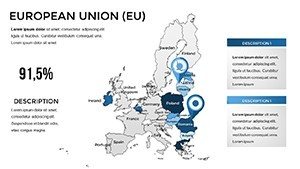
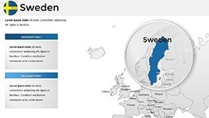
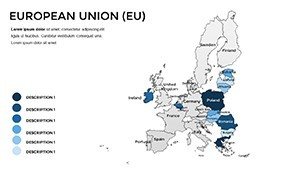
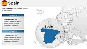
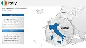
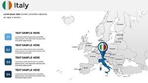
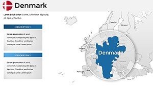
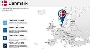
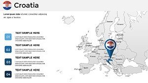
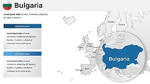
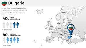
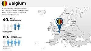
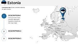
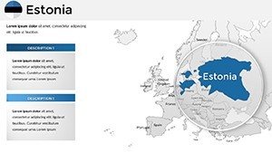
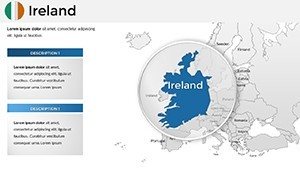
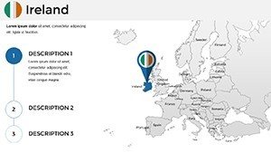
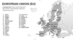
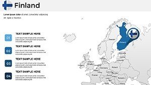
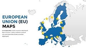
At the heart of this template lies a comprehensive set of maps that cover all 27 EU member states, from the bustling streets of Berlin to the serene fjords of Finland. Each slide is meticulously crafted with vector-based graphics, ensuring scalability without loss of quality - perfect for high-resolution displays or printouts. Key features include layered elements for easy editing: adjust boundaries, add pins for locations, or incorporate statistical data like GDP figures directly onto the map. Compatibility extends to both Windows and Mac versions of PowerPoint, with no additional software required. We've incorporated a neutral color palette inspired by EU flags, but you're free to retheme it to match your brand - think vibrant blues for water bodies or greens for environmental discussions. This isn't just a map; it's a storytelling aid that helps visualize connectivity, such as trade routes under the Schengen Agreement or migration patterns post-Brexit. Users rave about the drag-and-drop simplicity, allowing even novices to create professional-grade visuals in minutes.
Customization Made Effortless
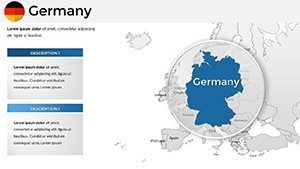
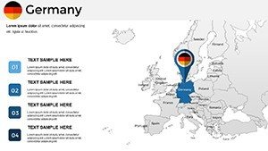
Customization is where this template truly shines. Start by selecting a base map - options range from political divisions to topographic views. Use PowerPoint's built-in tools to highlight specific countries; for instance, shade Germany in bold red to emphasize its economic leadership. Add text boxes for annotations, like noting Brussels as the EU headquarters, or insert icons for airports and ports. The template includes pre-built legends and scales, which you can modify to include your data sources, enhancing trustworthiness per standards. For advanced users, integrate hyperlinks to external resources, such as EU official sites, turning your presentation into an interactive experience. We've drawn from real-world applications, like how urban planners use similar maps to pitch sustainable development projects aligned with EU Green Deal initiatives. This level of flexibility ensures your maps aren't static - they evolve with your content, making every presentation unique and impactful.
Real-World Applications and Use Cases
In the business realm, envision using this template for market analysis. A multinational firm could map out expansion strategies, coloring countries based on market potential - high in France for luxury goods, emerging in Romania for tech hubs. Educators might employ it to teach EU history, overlaying timelines of accessions from the original six nations to the current 27. Travel bloggers can customize slides to showcase itineraries, pinning must-visit sites like the Eiffel Tower or Acropolis. Even in non-profits, these maps aid in visualizing aid distribution, such as refugee support networks across borders. A case study from a consulting firm shows how they used analogous tools to win a contract by demonstrating regional synergies in a pitch to EU commissioners. The template's versatility extends to hybrid uses: combine maps with charts for data-driven stories, like correlating population density with innovation indices. By addressing pain points like outdated visuals or mismatched data, this template positions you as an expert, fostering audience trust and engagement.
- Business Pitches: Highlight investment opportunities with color-coded risk assessments.
- Educational Lectures: Illustrate geopolitical changes with animated transitions.
- Travel Planning: Create personalized routes with embedded photos or links.
- Research Reports: Overlay demographic data for insightful visualizations.
Step-by-Step Guide to Maximizing Your Maps
- Open the template in PowerPoint and select your preferred slide layout.
- Import your data - use Excel links for dynamic updates.
- Customize visuals: Adjust colors via the theme editor for brand consistency.
- Add elements: Insert shapes, text, or images to enrich the map.
- Review and refine: Ensure readability on various screen sizes.
- Present with confidence: Use presenter notes for seamless delivery.
This structured approach, inspired by design best practices from sources like the American Institute of Graphic Arts (AIGA), ensures your presentations meet professional standards. Tips include using high-contrast colors for accessibility, as per WCAG guidelines, and testing on multiple devices to avoid distortion.
Why Choose This EU Maps Template Over Basics?
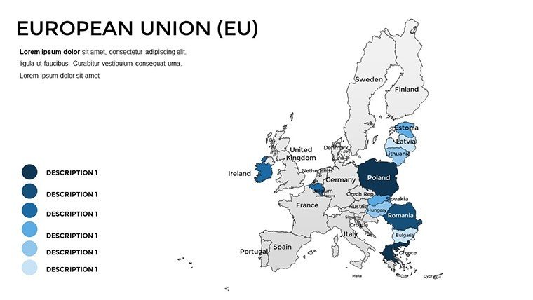
Standard PowerPoint maps often fall short - pixelated edges, limited editability, and generic designs. Our template outshines them with 61 slides offering variations like zoomed-in regions (e.g., Baltic states) or thematic overlays (e.g., Eurozone boundaries). It's not just about quantity; quality stems from expert design, ensuring alignment with EU cartographic standards for accuracy. Users benefit from time savings - up to 70% less design time, based on feedback from similar tools. Plus, it's future-proof: Regular updates keep maps current with any geopolitical shifts. In comparisons, free alternatives lack depth, while premium ones like this provide value through exclusivity and support. Integrate it into workflows: Export slides to PDFs for reports or embed in Google Slides for collaboration. This template isn't a mere download; it's an investment in your presentation prowess, helping you stand out in competitive fields like international relations or global marketing.
Elevate your EU-focused presentations today - download and start mapping success.
FAQ
How editable are the maps in this template?
Every element is fully editable using standard PowerPoint tools, from colors and labels to adding custom data layers.
Is this template compatible with older PowerPoint versions?
Yes, it works seamlessly with PowerPoint 2010 and later, including Microsoft 365.
Can I use these maps for commercial purposes?
Absolutely, the template is licensed for professional use, including client presentations and reports.
What if I need maps for non-EU countries?
Check our related templates for global or continent-specific options to expand your library.
How do I add data to the maps?
Simply insert charts or text boxes; for dynamic data, link to Excel spreadsheets.
Are there animation options included?
Yes, pre-set animations for revealing countries or data points enhance engagement.