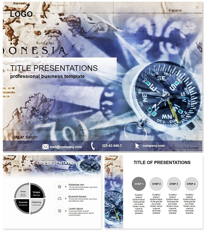
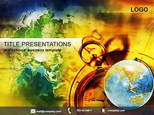
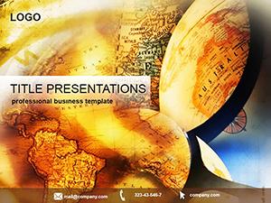
Whether lecturing on tectonic shifts or strategizing logistics routes, visuals that navigate complexity are key to unlocking understanding. The Geography PowerPoint Template arms educators, researchers, and logistics experts with 28 infographic-rich diagrams in seven color schemes, blending maps and metrics seamlessly. Suited for PowerPoint 2016+ and Google Slides, this lifetime-access gem via one-time purchase redefines spatial storytelling.
From population density heatmaps to trade route timelines, it distills global insights into digestible slides, sparking curiosity and informed discussions.
Robust Features for Spatial Narratives
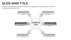
Developed with geographers in mind, it offers three masters and exploratory backgrounds. Highlights:
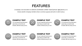
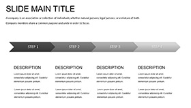
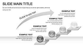
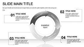
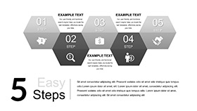
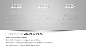
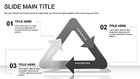
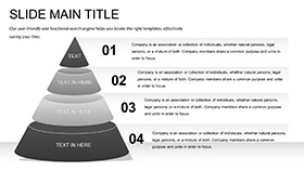
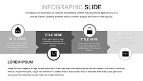
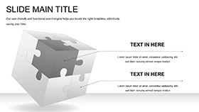
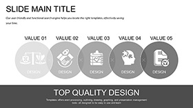
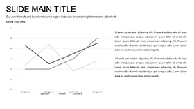
- 28 Geographic Diagrams: Contour maps for elevation, scatter plots for migration patterns, and process flows for climate cycles.
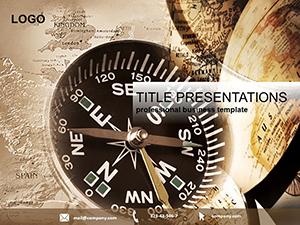
- Seven Earthy Color Themes: Terracotta for landmasses or oceanic blues, calibrated for thematic depth.
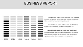
- Boundless Edits: Geo-referenced placeholders for custom coordinates, with legend auto-generators.
- Cross-Platform Ready: Native Google Slides support alongside PPTX for hybrid workflows.
Layered compositions allow peeling back details, like revealing sub-regions on hover.
Impactful Scenarios in Geography and Beyond
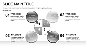
This template excels in knowledge-sharing arenas. A tourism board`s destination promo uses the radial diagram to fan out attractions, tying demographics to visitor forecasts for targeted marketing.
Logistics planners map supply chains with the network graph, tracing ports to warehouses and highlighting bottlenecks. University profs animate the timeline slide for historical migrations, engaging students with phased reveals.
In Action: Optimizing a Global Trade Seminar
A researcher at an international conference swapped generic charts for the template`s Sankey diagram, flowing trade volumes between continents. The visual clarity won accolades and sparked collaborations.
Why It Outmaps Default Options
Stock PowerPoint maps distort on zooms, and charts lack context. This counters with geo-accurate projections and linked datasets that refresh globally, plus animations tracing paths like river flows. Effort drops by 50%, with built-in projections for accurate scales.
Versatile for print atlases or interactive web exports, it ensures your geography grips globally.
Navigate to excellence. Unlock the Geography PowerPoint Template and plot your presentation triumph.
Frequently Asked Questions
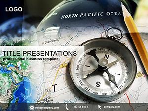
Does it include world maps?
Yes, customizable base maps cover continents, with tools for regional zooms.
Compatible with Google Slides?
Fully - import and edit without loss, ideal for collaborative global teams.
Can I add real GPS data?
Precisely, via Excel links for dynamic updates on coordinates or stats.
Licensing for educational use?
Included - unlimited for classrooms, research, or non-profit voyages.
Are legends automated?
Smart legends adjust to data changes, saving manual tweaks.
How about animation for routes?
Path animations trace journeys, perfect for migration or travel stories.