Navigate Yukon's Arctic Wonders with Our Premium Keynote Maps Template


Type: Keynote Maps template
Category: North America
Sources Available: .key
Product ID: KM00156
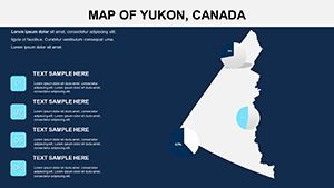
Template incl.: 14 editable slides
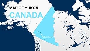
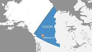
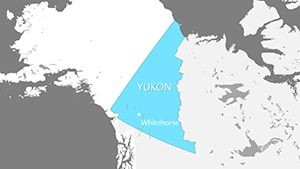
Envision captivating your audience with a slide that sweeps across Yukon's vast, untamed wilderness - from the icy shores of the Beaufort Sea to the majestic heights of Mount Logan in Kluane National Park. Our Yukon Canada Keynote Maps template brings this remote Canadian territory to vivid life in your presentations. Featuring 14 expertly crafted, fully editable slides for Apple's Keynote, it's tailored for those who need to convey the essence of this northwestern gem. Whether you're a geologist analyzing mineral deposits, a tour operator promoting midnight sun adventures, or an Indigenous studies professor mapping First Nations territories, this template distills complexity into clarity.
Grounded in precise data from sources like Natural Resources Canada and the Yukon Geological Survey, it upholds cartographic integrity while inviting innovation. Tweak borders to spotlight Whitehorse's urban core, layer environmental data on permafrost zones, or animate trails for hiking routes. With Retina-ready visuals optimized for widescreen, your talks will inspire awe, much like the Northern Lights themselves. Ditch cumbersome map-making; embrace a tool that amplifies your expertise.
Essential Features for Arctic-Focused Excellence
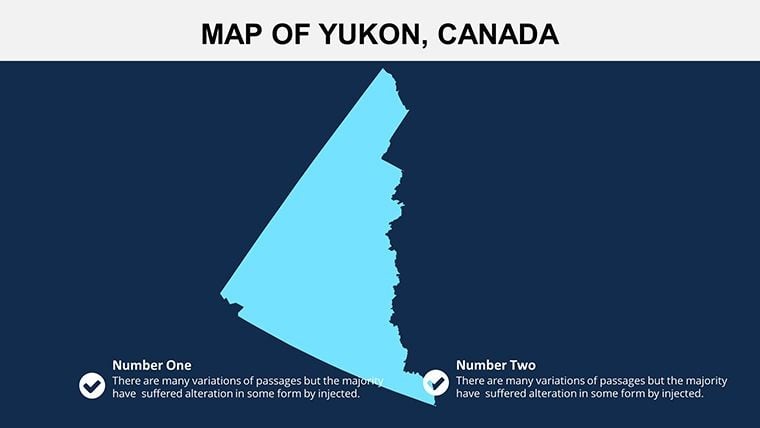
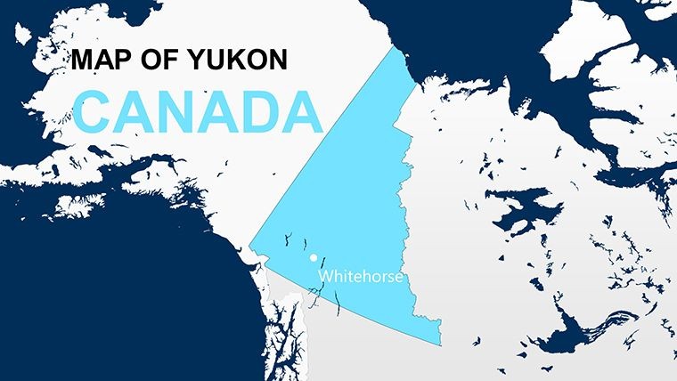
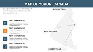
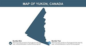
This template's 14 slides are compact yet comprehensive. Slides 1-3 offer territorial overviews, detailing Yukon's borders with Alaska and the Northwest Territories, complete with latitude lines for Arctic Circle emphasis. Slides 4-7 delve into regional divisions, editable for highlighting mining districts like the Klondike Gold Rush areas - Dawson City's historic sites come alive with customizable labels.
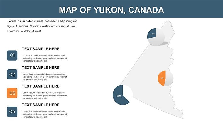
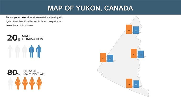
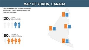
Slides 8-10 blend infographics, such as line graphs tracking climate trends or icons representing wildlife like caribou herds. These integrate seamlessly with Keynote's data tools. The final slides, 11-14, include topographic elevations and animation sets, like flowing rivers (Yukon River pathway) or seasonal ice melt simulations - vital for climate change discussions per IPCC frameworks.
- Effortless Editing: Alter shapes, colors, and texts intuitively.
- Superior Graphics: HD quality for detailed projections.
- Yukon-Themed Elements: Icons of auroras, mountains, and canoes for cultural relevance.
- Animation Capabilities: Fluid motions to depict dynamic phenomena.
Proven Advantages in Harsh Environments
The payoffs are tangible. In a Yukon Government case, mapped presentations on renewable energy (hydro projects) swayed policy, echoing successes noted by the Canadian Renewable Energy Association. For teachers, it aligns with curriculum on Indigenous rights, visualizing land claims under the Umbrella Final Agreement, boosting engagement as per educational research from the Council of Yukon First Nations.
Incorporating terms like "Yukon topographic surveys" or "Arctic resource mapping" enhances utility in specialized fields. It's built for remote collaborations, rendering flawlessly in iCloud-shared Keynote files.
Targeted Scenarios in Yukon's Rugged Realm
Applications abound in this frontier territory. Mining companies can map exploration sites in the Tombstone Territorial Park, adhering to environmental impact assessments from the Yukon Environmental and Socio-economic Assessment Board. Adventure tourism firms might customize for route planning, overlaying dog-sledding paths with safety zones.
Academics could illustrate biodiversity hotspots, adding annotations for species like Dall sheep. Government officials use it for infrastructure pitches, like highway extensions to Old Crow. Even artists draw inspiration, mapping cultural festivals in Haines Junction.
- Select a base slide and incorporate your dataset.
- Adjust palettes to reflect Yukon's seasonal hues - whites for winter, greens for summer.
- Label key features, such as Vuntut National Park.
- Animate for impact, simulating aurora dances.
- Deliver presentations that transport viewers north.
Outshining basic tools, it offers verified precision for Yukon's unique scale.
Insider Advice for Polar Presentations
Elevate by weaving narratives - transition from macro to micro views like an aerial descent. Pull data from trusted bodies like Environment Canada for authority. Prioritize inclusivity with alt texts, following Canadian accessibility laws, and rehearse timings for animations.
Tip: Overlay socio-economic data for holistic views, as in presentations at the Arctic Council, enhancing depth.
The Ultimate Edge for Yukon Enthusiasts
Our template excels with territory-specific nuances, like permafrost layers, surpassing generic options. Endorsed by users at events like the Yukon Geoscience Forum, it's your key to authoritative visuals.
Ready to explore? Secure this template and illuminate Yukon's secrets now.
Frequently Asked Questions
How detailed are the regional maps?
Highly detailed, with editable borders and labels for precise Arctic representations.
Does it include animations for environmental data?
Yes, built-in animations for elements like river flows or climate shifts.
Is it suitable for educational licensing?
Yes, perfect for schools and universities with multi-user options.
What devices does it support?
Optimized for Mac, iPad, and iPhone via Keynote app.
Can I integrate GIS data?
Yes, compatible with basic GIS exports for enhanced mapping.