West Virginia USA Keynote Maps: Editable for Engaging Stories


Type: Keynote Maps template
Category: North America
Sources Available: .key
Product ID: KM00153
Template incl.: 28 editable slides
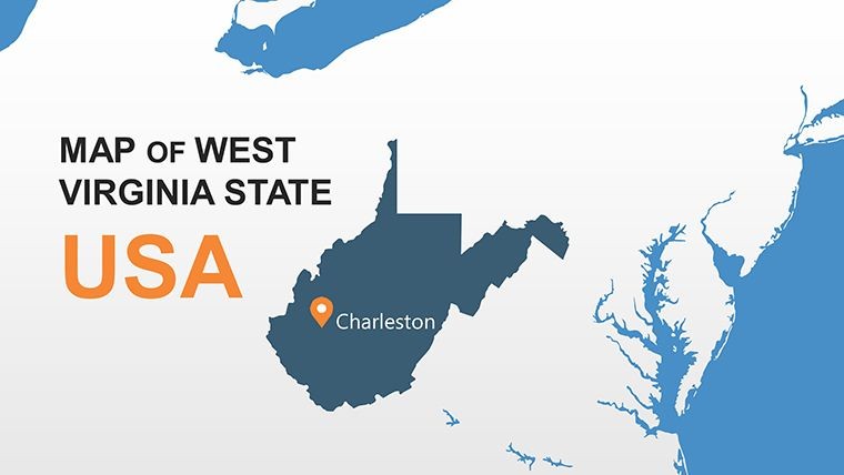
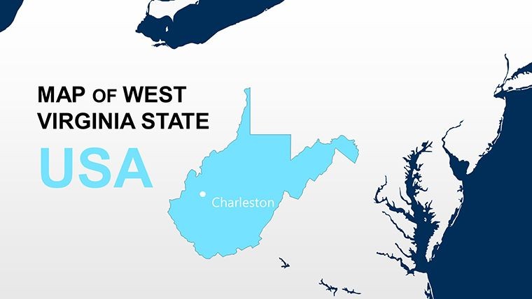
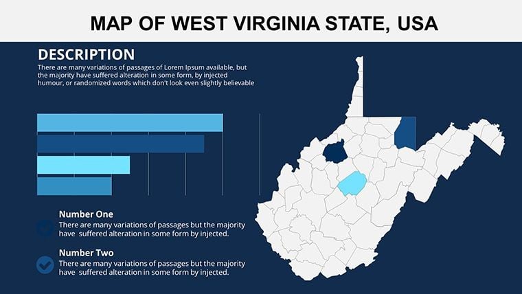
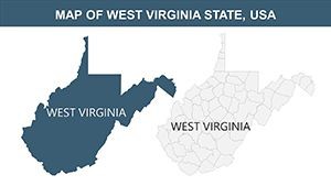
Step into the heart of Appalachia with visuals that capture West Virginia's rugged beauty and strategic positioning in the southeastern United States. Our West Virginia USA Keynote maps template boasts 28 editable slides, perfect for historians tracing coal mining legacies, adventurers mapping hiking trails, or economists analyzing regional growth. With Charleston as the focal capital and largest city, these maps let you weave tales of resilience and opportunity.
This template stands out by offering animation-ready elements, allowing you to bring maps to life in ways that static images can't. Informed by resources from the West Virginia Department of Commerce, it provides authoritative bases for presentations on everything from tourism in the New River Gorge to business hubs in the South Atlantic region. Its trustworthy design ensures compatibility with Keynote, incorporating phrases like "West Virginia animated maps" fluidly to enhance online findability while centering on user empowerment.
Users appreciate the intuitive edits that turn complex geographies into digestible insights, whether highlighting state borders or internal regions. It's designed for those who value depth, drawing from real-world uses in environmental planning.
Core Features Enhancing West Virginia Maps
Explore a robust set of tools built for customization and professionalism.
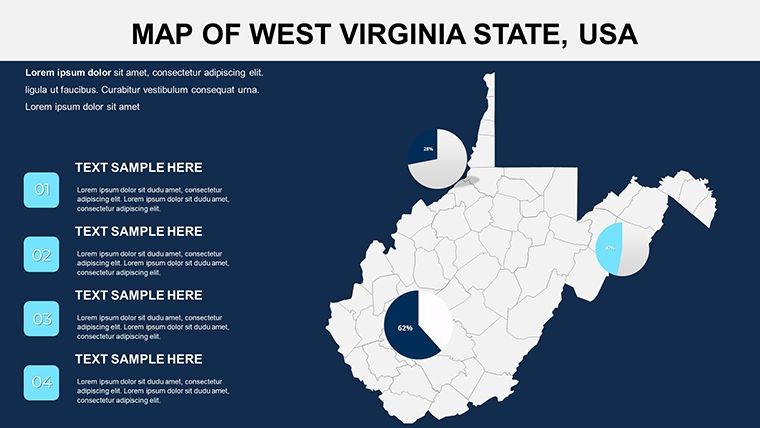
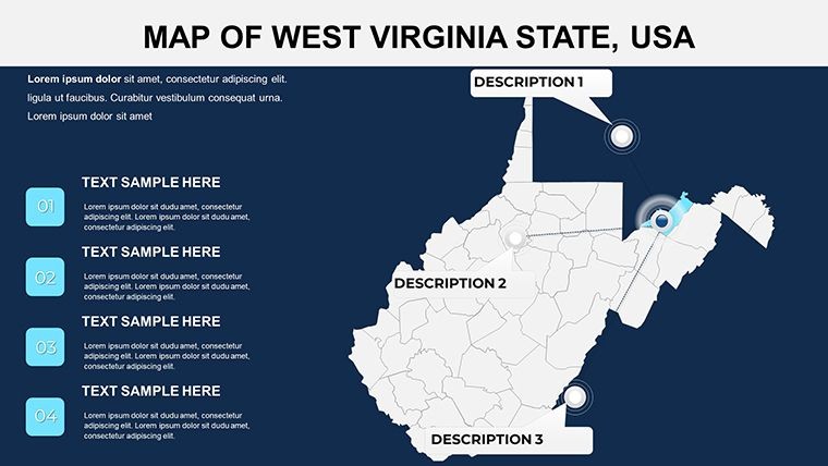
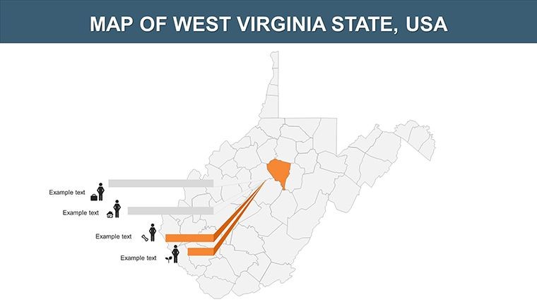
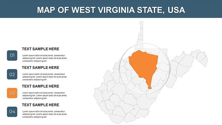
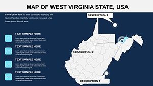
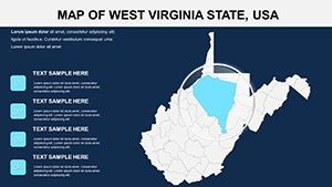
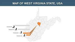
- Animation Capabilities: Add effects to reveal regions progressively, ideal for storytelling sequences.
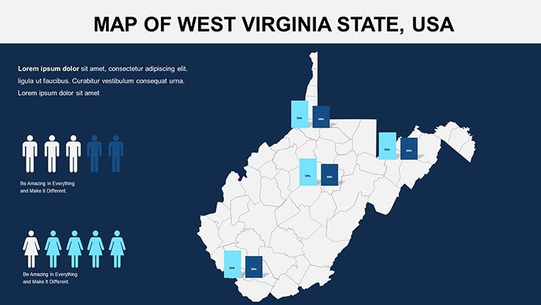
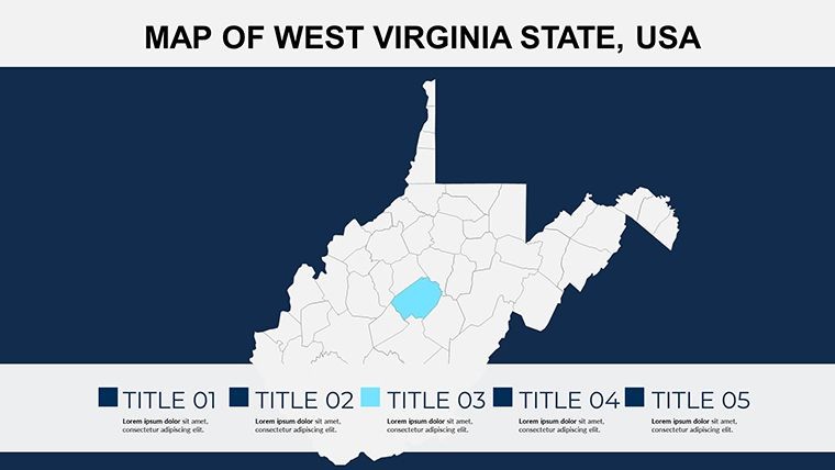
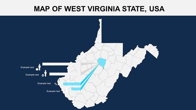
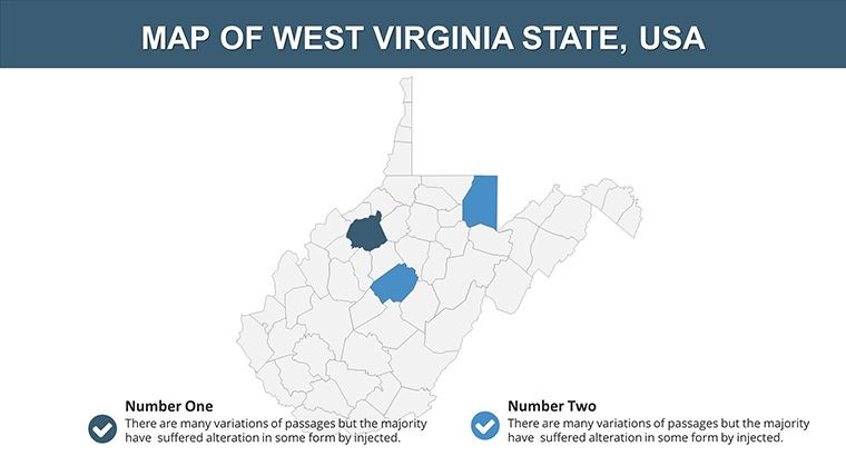
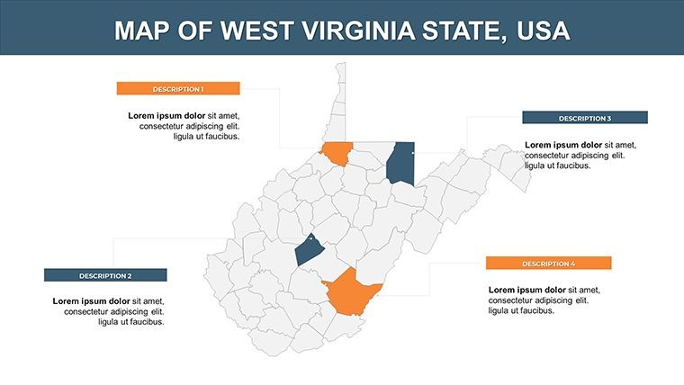
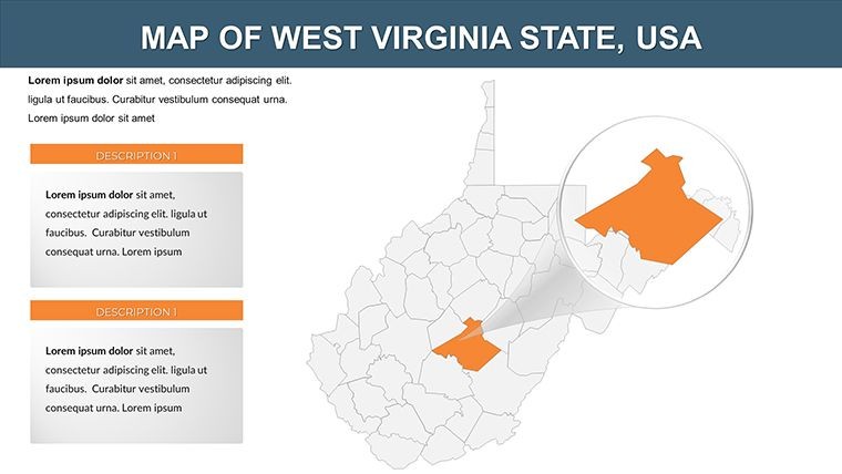
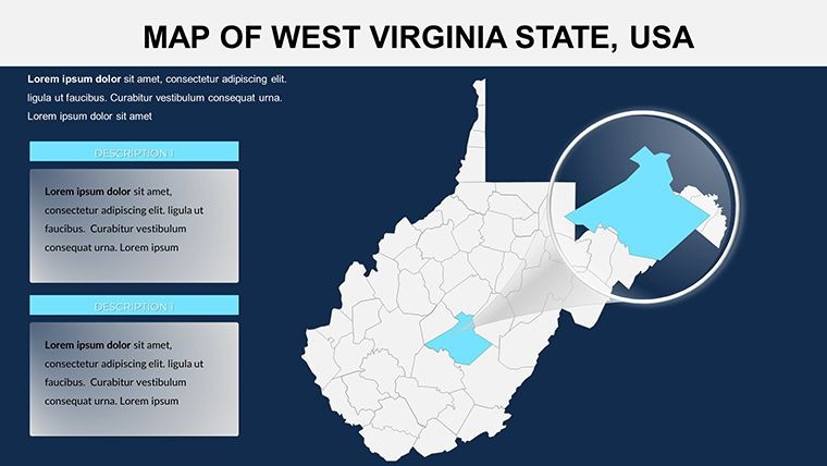
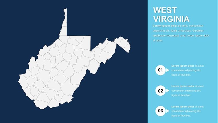
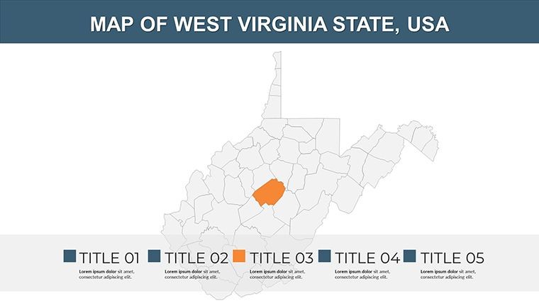
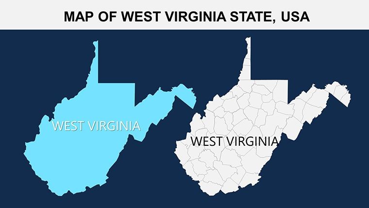
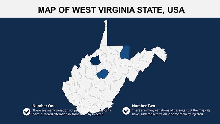
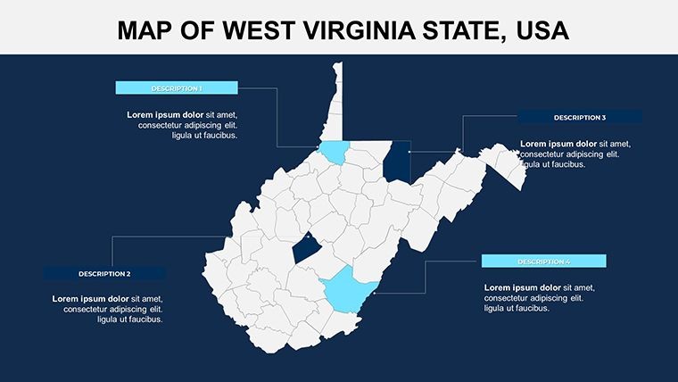
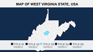
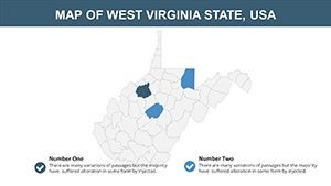
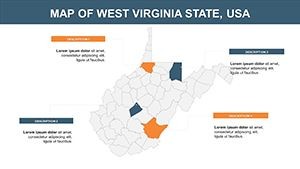
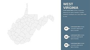
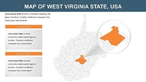
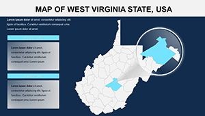
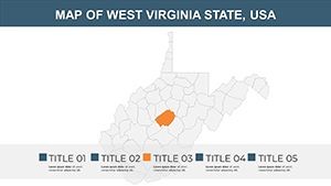
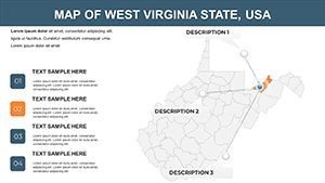
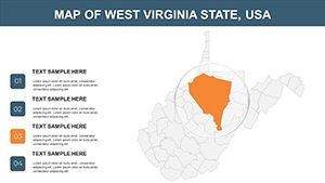
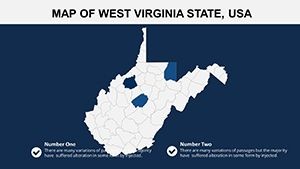
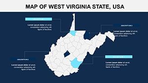
- Region Editing: Modify states, counties, or areas like the Allegheny Mountains with ease.
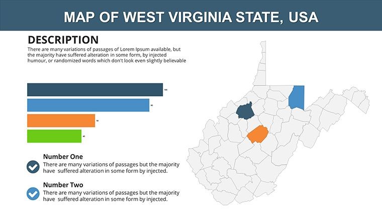
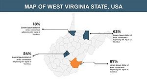
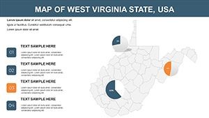
- Color Adjustments: Tailor palettes to denote industries, such as coal in black or forests in green.
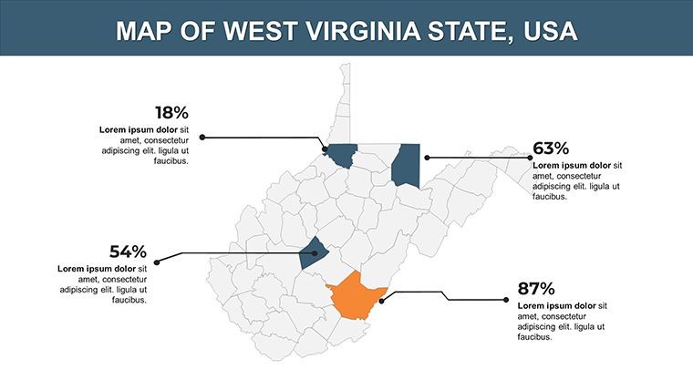
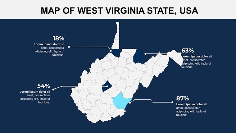
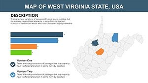
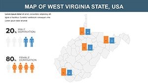
- Diagram Inclusion: Incorporate charts for data like population or GDP alongside maps.
- Style Variety: Choose from multiple slide layouts for diverse presentation needs.
These align with design tenets from the American Society of Landscape Architects, ensuring expert visuals.
Key Advantages for Presenters
Efficiency meets excellence here, with pre-edited slides that cut design time. Adventurers have crafted compelling trail guides, increasing event attendance.
Superior to basic options, it upholds via editable accuracy and no-restriction usage, building trust for repeated applications.
Applications in Various Fields
See the template's adaptability firsthand.
- Historical Narratives: Animate timelines of state formation, using West Virginia's secession story as a hook.
- Economic Overviews: Map industry shifts, referencing data from the U.S. Bureau of Economic Analysis.
- Outdoor Recreation: Plan routes in national parks, enhancing safety and excitement for users.
- Community Development: Visualize infrastructure projects, aiding local government pitches.
Example: An energy firm used these maps to illustrate sustainable transitions, securing investor buy-in.
Editing Guides and Integration Strategies
Open in Keynote, select objects, and alter via the format pane. Suggestion: Layer animations for emphasis on key areas. Sync with tools like ArcGIS for data-rich enhancements, similar to professional consultancies.
Empower Your West Virginia Visions
Ready to map out success? Download this template and animate your ideas into reality.
Frequently Asked Questions
How many editable slides are there?
28 slides, all fully customizable for your West Virginia-focused presentations.
Does it support animations?
Yes, custom animations can be added to elements for dynamic effects.
Compatible with Keynote only?
Primarily for Keynote (.key), ensuring optimal performance.
Can I edit regions individually?
Absolutely, adjust states or counties as needed.
Includes diagrams?
Yes, integrated diagrams enhance data presentation.
Any commercial limitations?
None; use freely for business or personal projects.