Vermont Map Keynote Template - Fully Editable | Instant Download | ImagineLayout


Type: Keynote Maps template
Category: North America
Sources Available: .key
Product ID: KM00150
Template incl.: 28 editable slides
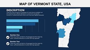
Vermont map Keynote template with 28 editable slides featuring county maps, Champlain Valley and Green Mountains regions. Perfect for education, regional planning and tourism marketing. Instant .key download with data overlays and icons.
What's Included
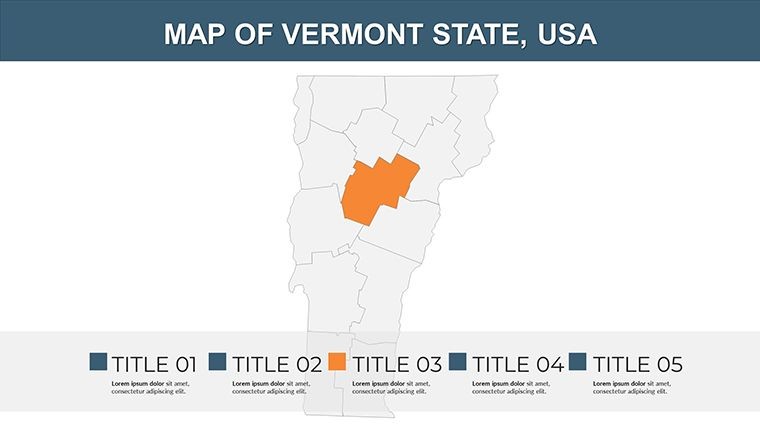
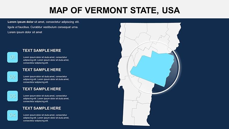
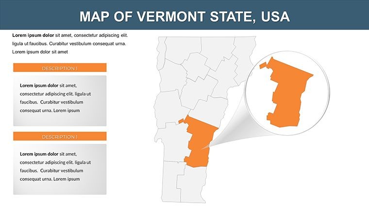
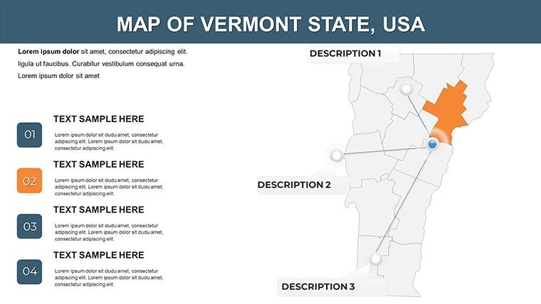
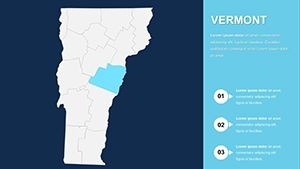
The Vermont map Keynote template contains 28 editable slides in .key format covering state overviews to detailed county maps. Includes modifiable shapes, texts, icons and data overlay options. All vectors ensure crisp zoom during presentations. Price $15.
Regions Covered
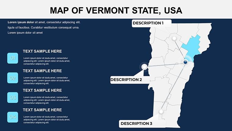
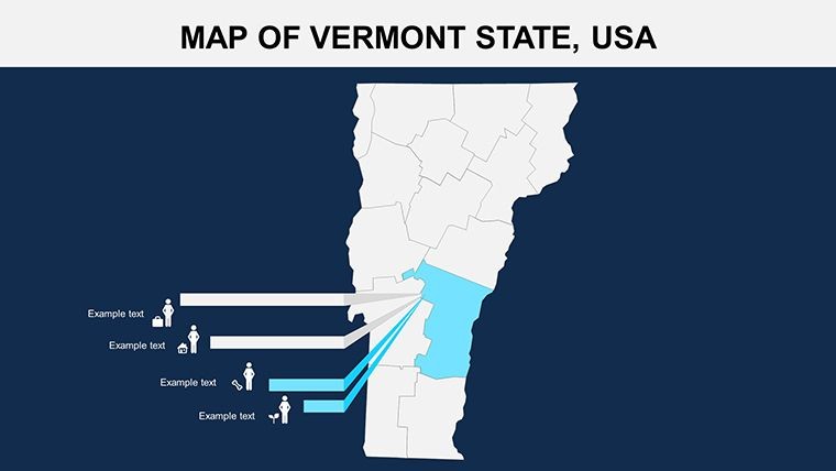
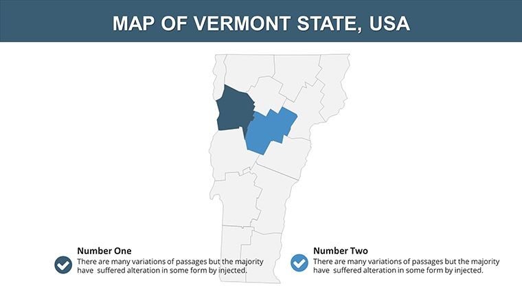
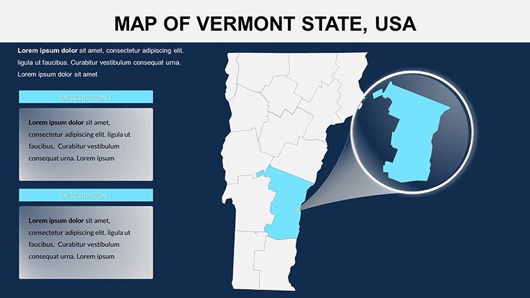
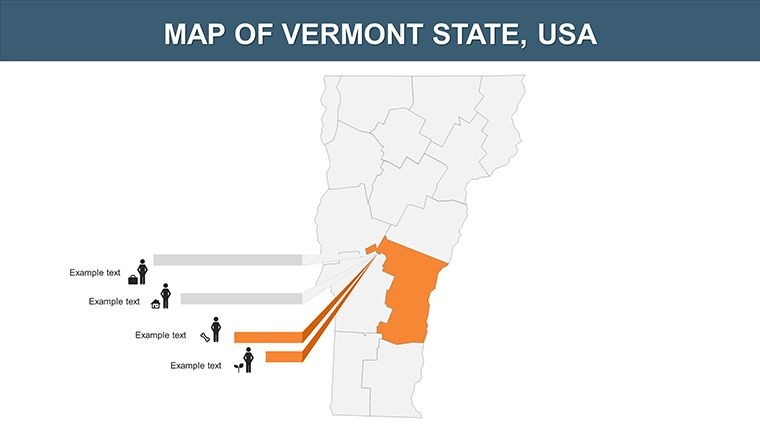
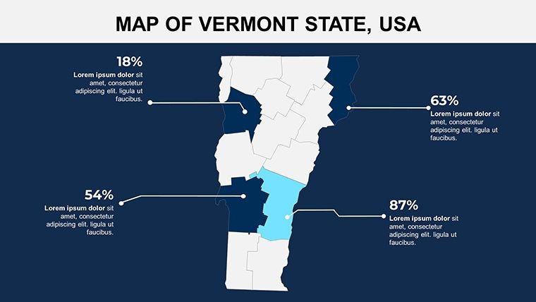
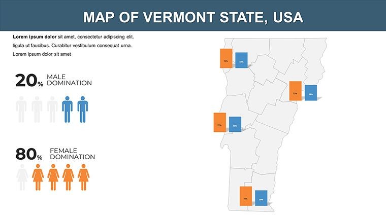
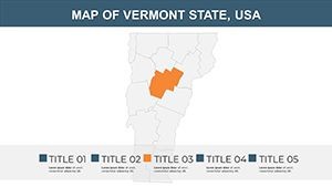
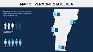
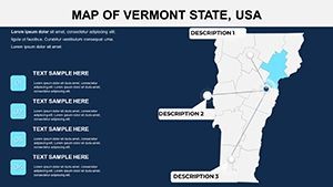
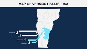
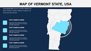
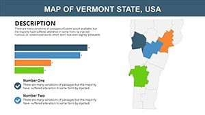
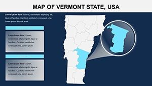
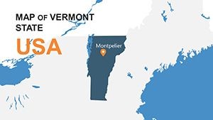
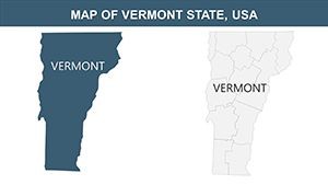
Focuses on Champlain Valley, Green Mountains, Lake Champlain, Burlington, Bennington and Stowe. Icons for dairy farming, maple syrup trails and Revolutionary War sites in Bennington. Greens for forests, blues for Lake Champlain.
Key Features
This North America category template delivers 28 editable slides with high-quality vectors, theme integration and data overlays. Specific Vermont elements like river systems, state parks and urban centers set it apart from Alabama or California county maps in the related section.
| Feature | Benefit |
|---|---|
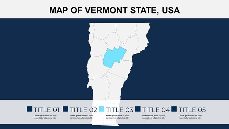
| 28 Editable Slides | State to county detail |
| Vector Maps | Crisp zoom |
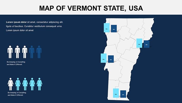
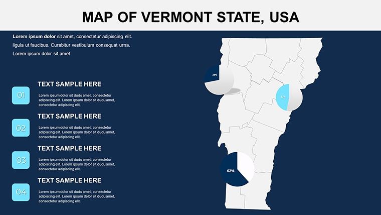
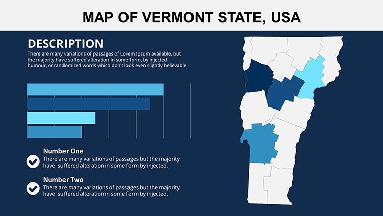
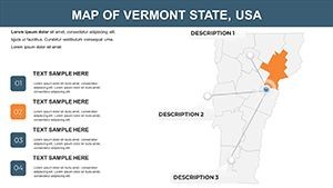
| Data Overlays | Population charts |
| Local Icons | Dairy farming visuals |
| Color Coding | Greens & blues |
| Theme Integration | Branding ready |
Professional Use Cases
A regional planner in Vermont used the Champlain Valley county map slide with data overlays to present agricultural output to stakeholders, highlighting Burlington and Stowe developments. The presentation secured grant funding. A tourism marketer customized icons for maple syrup trails and fall foliage tours, creating engaging slides for visitor campaigns.
Workflow Example
Download the .key file, open in Keynote, select any county map slide, replace placeholder text, add population chart overlay and switch greens for forests to your branding. Export as PDF for printed handouts.
How to Customize
All shapes, texts and icons are editable. Modify county boundaries, add river systems or urban centers like Bennington. Change colors to match seasonal themes or add charts for industry data. A geography teacher used the Green Mountains slide to highlight ski resorts with custom icons.
Why Choose This Template
The Vermont-specific focus with detailed county maps, Lake Champlain blues and dairy farming icons provides precision unavailable in generic state templates. Perfect for local education, planning or marketing needs.
Frequently Asked Questions
Is this Vermont map Keynote template compatible with current versions?
Yes, the .key file works with Keynote 10 and newer. The 28 slides use native vectors and data overlays update instantly. Educators and planners report perfect performance when zooming into county details.
What Vermont regions and features are included?
Slides cover Champlain Valley, Green Mountains, Lake Champlain, Burlington, Bennington and Stowe. Includes icons for dairy farming, maple syrup trails, Revolutionary War sites and river systems with greens for forests and blues for the lake.
Can I add my own data overlays and charts?
Yes, every slide supports data overlay options for population or industry statistics. A planner added charts to county maps without clutter while keeping high-quality vector crispness.
How do I change colors for seasonal themes?
Select shapes and update fills directly in Keynote. Switch greens for forests or blues for Lake Champlain to match fall foliage or winter themes. The vector maps remain sharp at any zoom level.
What is the download format and delivery?
Instant .key file download after purchase. Open directly in Keynote to begin editing Vermont county maps and icons immediately. File size is small for fast access.