USA Counties Keynote Maps: Dynamic Editable Presentation Template


Type: Keynote Maps template
Category: North America
Sources Available: .key
Product ID: KM00148
Template incl.: 32 editable slides
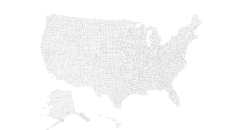
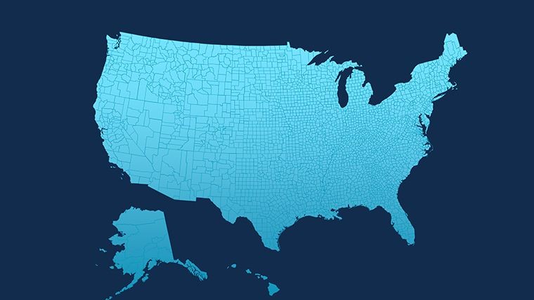
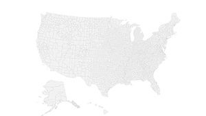
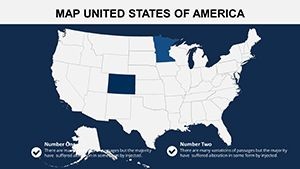
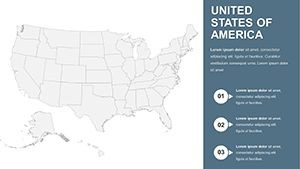
Navigating the intricate web of America's 3,000+ counties requires more than facts; it demands visuals that captivate and clarify. The USA Counties Keynote maps template provides 32 editable slides, a robust toolkit for researchers, educators, and executives to dissect regional nuances. From population dynamics in urban clusters to resource allocation in rural expanses, this template fosters deeper understanding, making it indispensable for data-savvy storytellers.
Designed for Keynote's ecosystem, the .key file loads instantly, supporting collaborative edits via iCloud. It adheres to mapping protocols from the National Association of Counties, ensuring representations are both accurate and authoritative.
Core Features Driving Professional Excellence
This template's strength lies in its blend of detail and adaptability, tailored for demanding users.
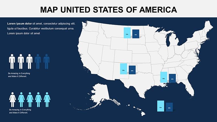
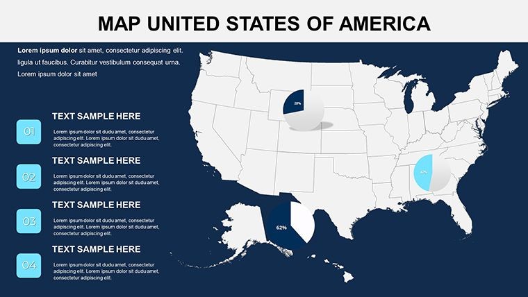
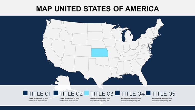
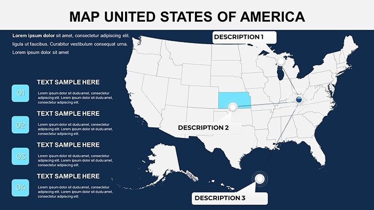
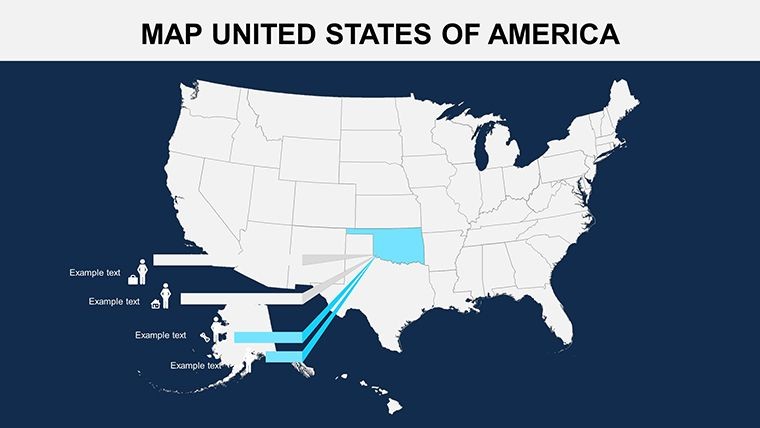
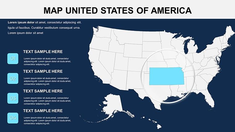
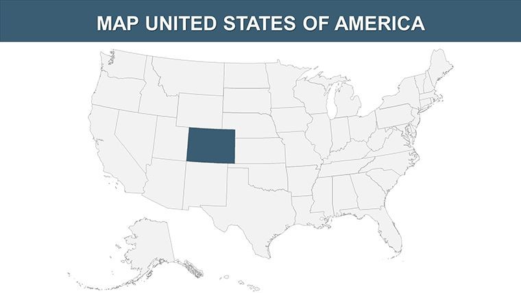
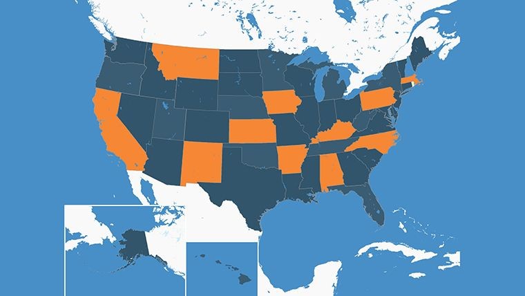
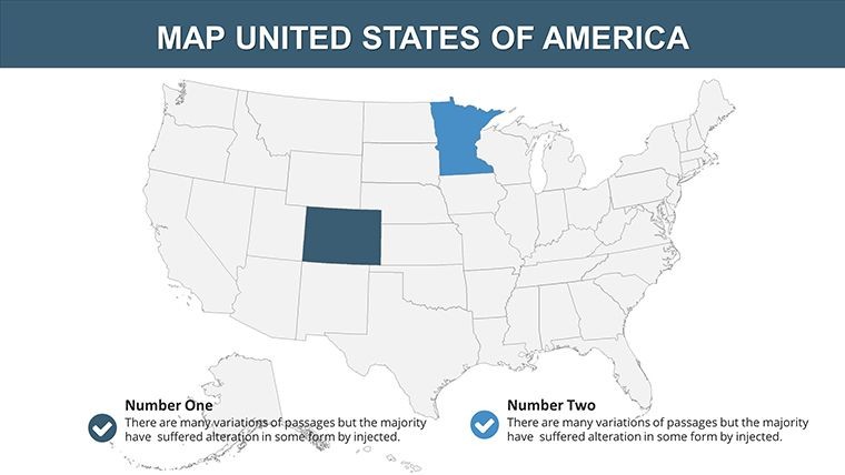
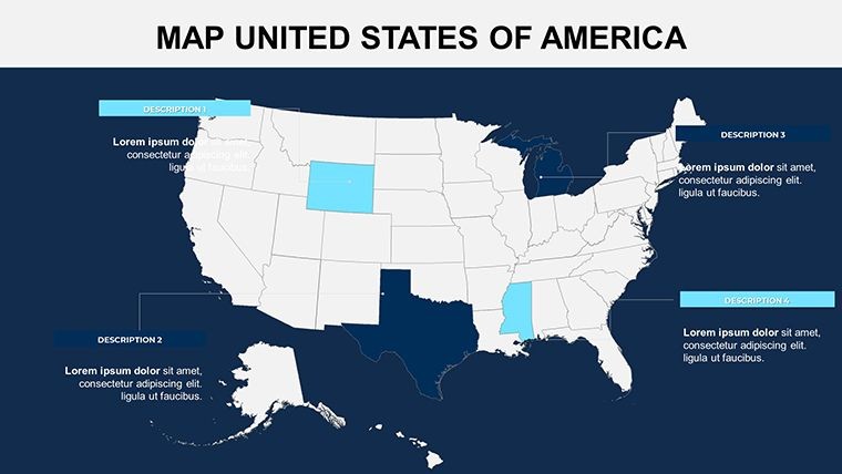
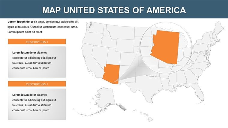
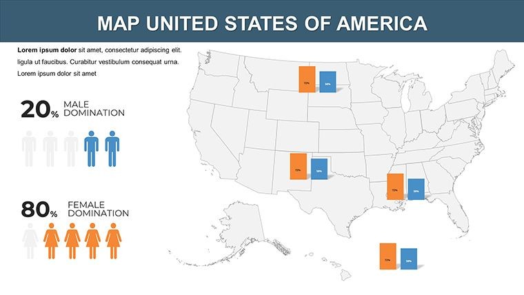
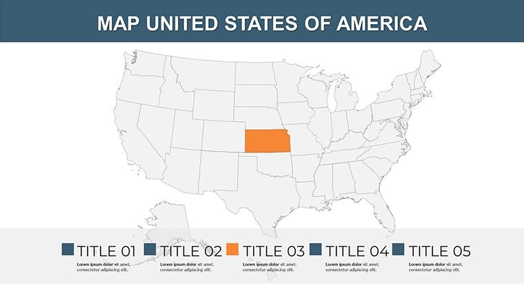
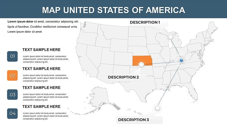
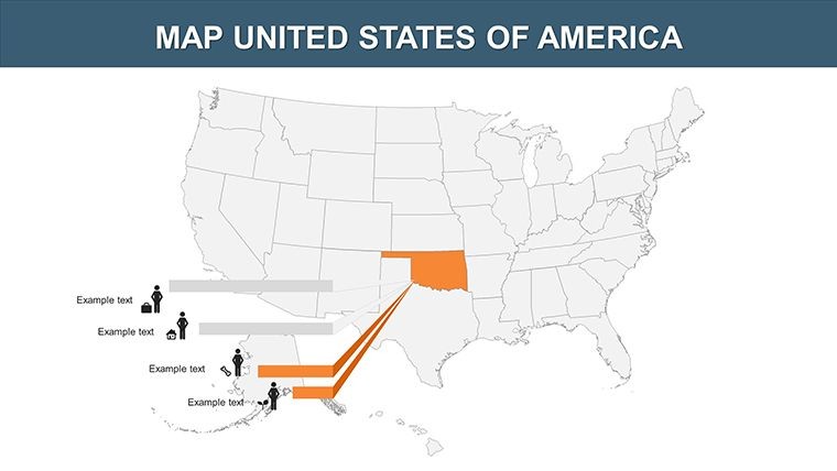
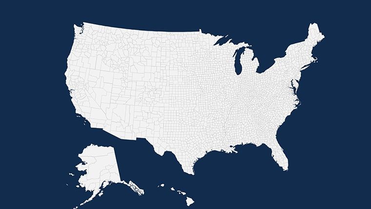
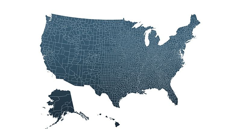
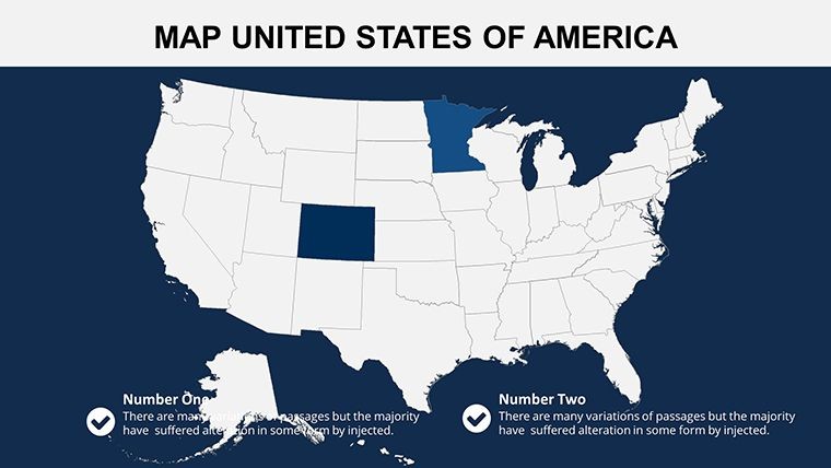
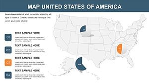
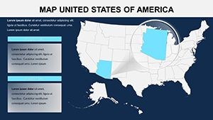
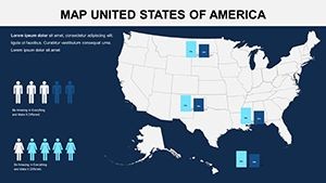
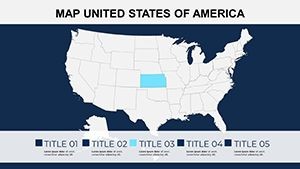
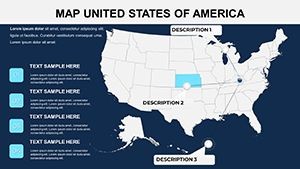
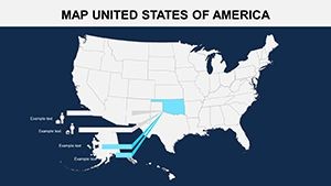
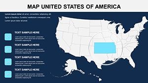
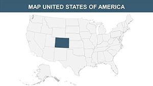
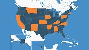
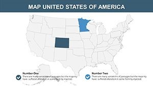
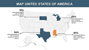
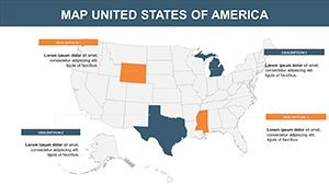
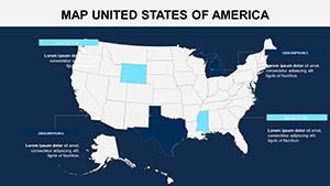
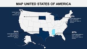
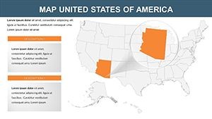
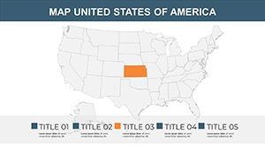
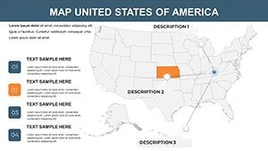
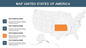
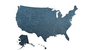
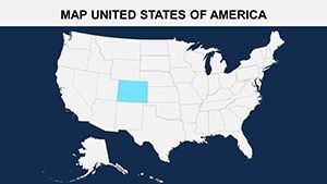
- Nationwide County Detail: Interactive maps covering every county, with drill-down options for states like California or New York.
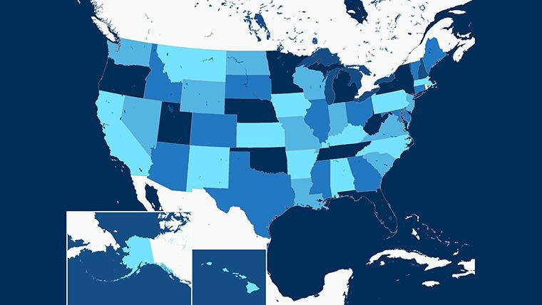
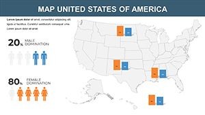
- Trend-Highlighting Tools: Custom gradients and icons to visualize metrics, such as economic disparities or election results.
- Aesthetic Customization: Themes ranging from minimalist for reports to vibrant for workshops, with editable legends.
- Data Fusion Elements: Merge with external sources for live updates, like census figures or climate data.
- Performance-Optimized: Smooth animations and layers that handle complex datasets without lag.
In practice, a Washington D.C. think tank employed similar tools to map policy impacts, gaining media acclaim for their insightful graphics.
Strategic Use Cases with Actionable Steps
Harness this template to address diverse challenges effectively.
Market Research and Business Planning
Start with a national overview. Step 1: Select counties by criteria, shading for market saturation. Step 2: Add pie charts for consumer segments. Step 3: Annotate risks/opportunities. Step 4: Refine for pitch-perfect delivery, surpassing basic GIS software in ease.
Geographic Education and Training
Teachers can zoom into regions like the Midwest. Customize to illustrate historical migrations or natural resources, per Common Core standards, sparking student curiosity through interactivity.
Research and Policy Development
For analysts, layer demographic data over counties. Use timelines for trend tracking, as in studies from the Brookings Institution, to inform decisions with visual evidence.
Versatile for disaster response mapping or electoral strategies, it streamlines workflows while emphasizing precision.
Enhancing Your Process with Expert Insights
Echoing principles from the International Map Industry Association, prioritize legibility and relevance. Tips: Group layers for efficiency, test on projectors, and weave in CTAs like "Dive into county details today."
This USA Counties Keynote template is a catalyst for innovation, turning data into dialogue. Embrace it and lead with vision - your next breakthrough awaits.
Frequently Asked Questions
How detailed are the county boundaries?
Highly precise, based on official sources, with options to highlight or isolate specific areas.
Does it include tools for data import?
Yes, placeholders facilitate easy integration from spreadsheets or databases.
Is it suitable for large audiences?
Definitely, optimized for projections and exports to maintain quality.
Can I create custom themes?
Yes, fully editable to match any branding or presentation style.
What if I need more slides?
Duplicate and modify existing ones; the structure supports expansion.