Tennessee Keynote Map Template: Customizable US State Slides


Type: Keynote Maps template
Category: North America
Sources Available: .key
Product ID: KM00146
Template incl.: 26 editable slides
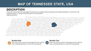
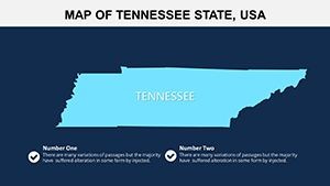
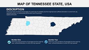
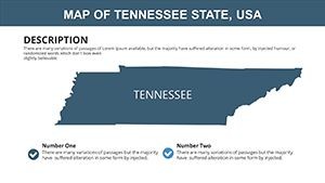
Picture this: You're gearing up for a regional sales meeting, needing to spotlight Tennessee's diverse markets from the Appalachian Mountains to the Mississippi River plains. Enter the Tennessee Keynote map template - a powerhouse of 26 editable slides that brings the Volunteer State's geography to life in Apple's Keynote. Tailored for marketers, educators, and analysts, this resource turns raw data into narrative gold, helping you convey everything from economic hubs in Nashville to cultural landmarks in Memphis with effortless precision.
This template goes beyond basic outlines, offering a gateway to professional storytelling. Bordered by eight states including Kentucky to the north and Georgia to the south, Tennessee's complex layout demands accurate visuals. With full compatibility across Keynote versions on Mac or iOS devices, the .key format ensures your edits sync seamlessly. No more wrestling with incompatible files; just pure, productive creativity that aligns with standards from organizations like the Urban Land Institute for precise urban mapping.
Standout Features for Seamless Customization
What elevates this template? Its thoughtful design caters to real-user needs, blending aesthetics with functionality.
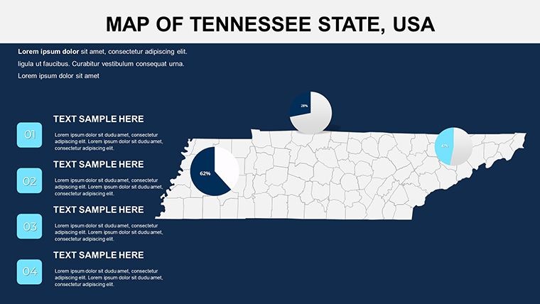
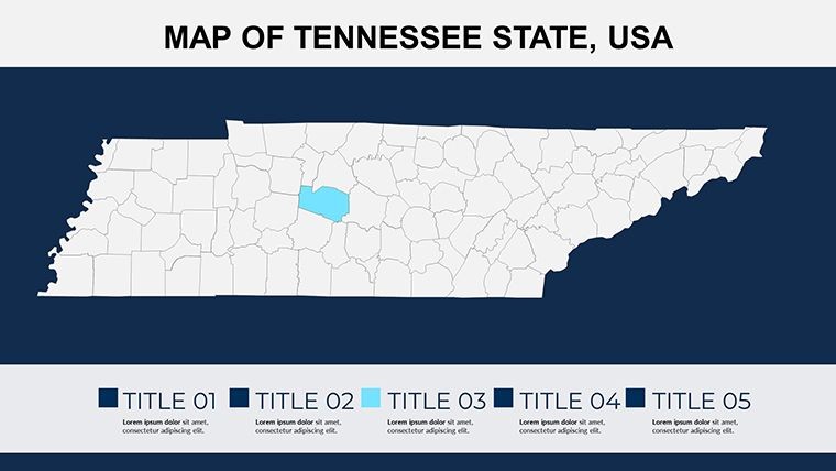
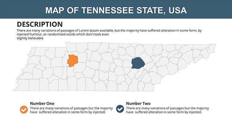
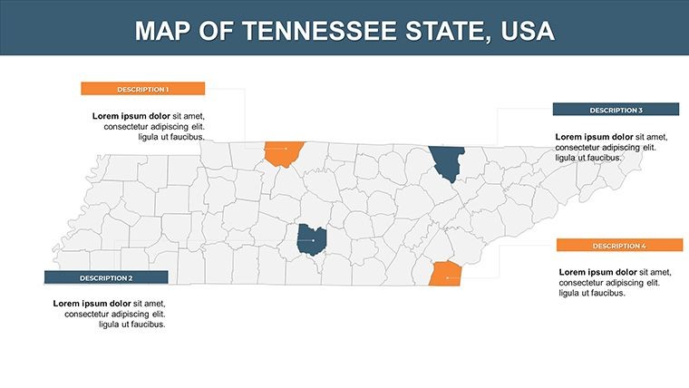
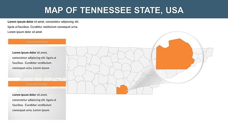
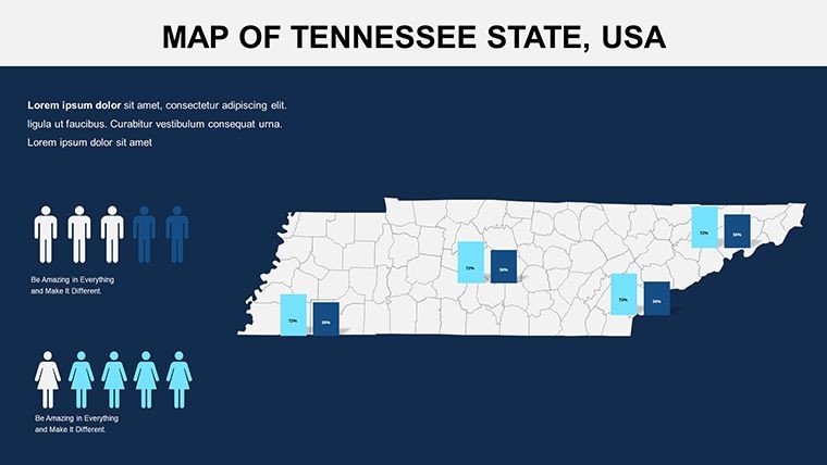
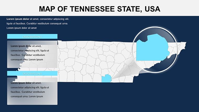
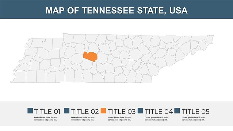
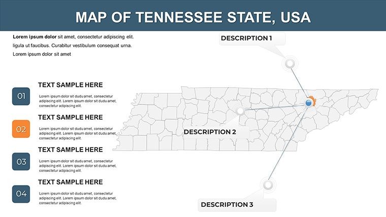
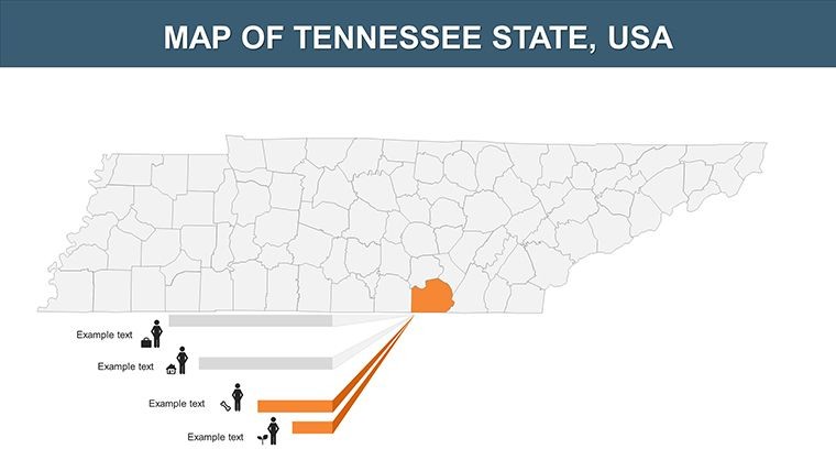
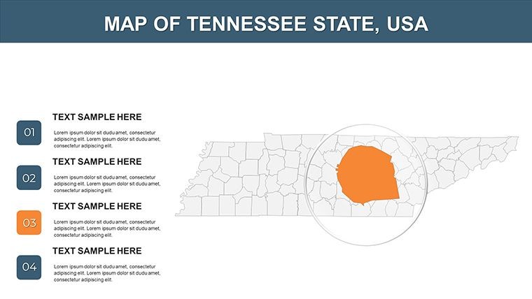
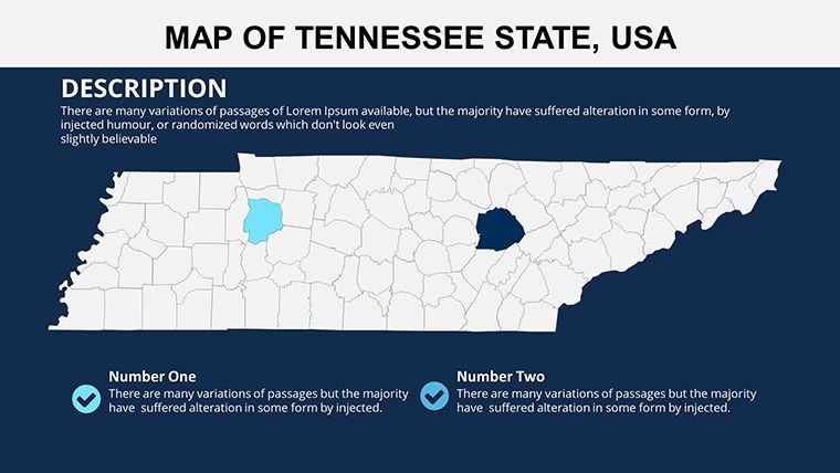
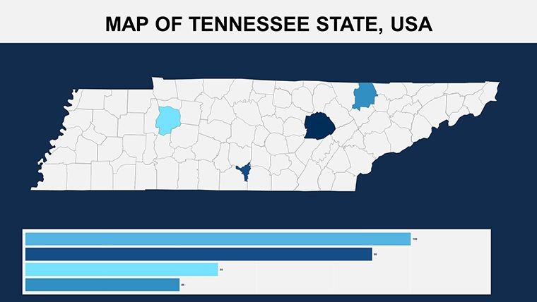
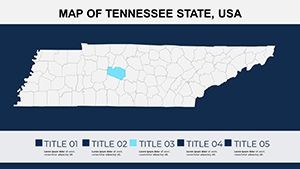
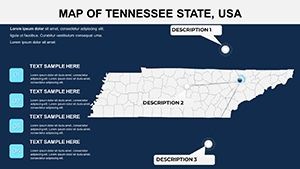
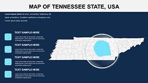
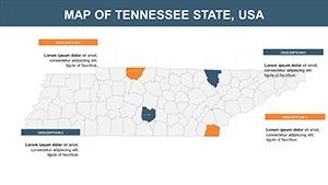
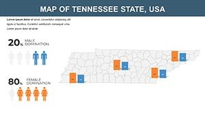
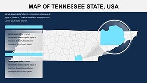
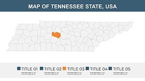
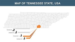
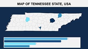
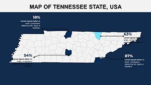
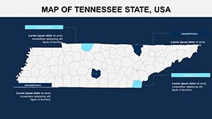
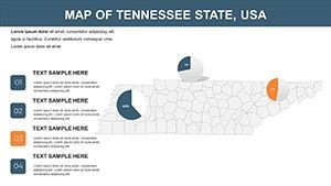
- Detailed State Maps: High-definition renders of Tennessee's 95 counties, from Shelby in the west to Sullivan in the east, scalable without quality loss.
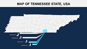
- Flexible Design Elements: Swap color schemes to evoke the state's vibrant fall foliage or sleek corporate tones; add icons for industries like music in Nashville or automotive in Chattanooga.
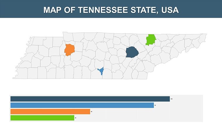
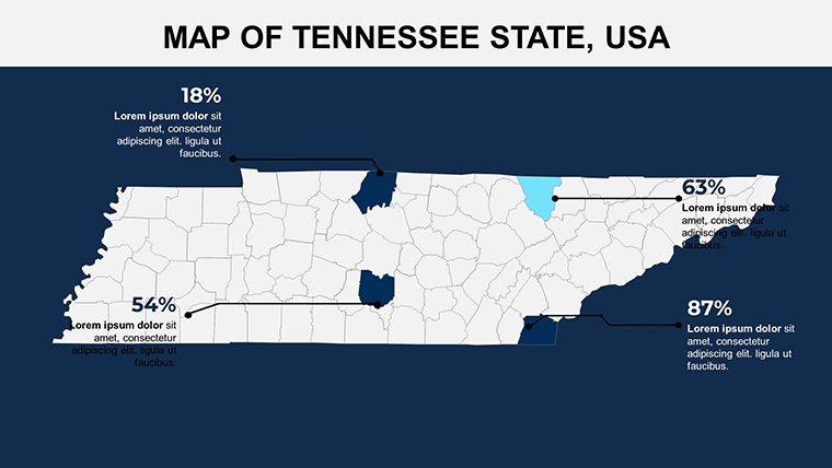
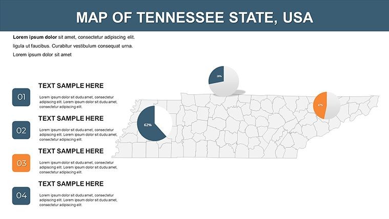
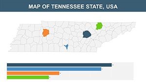
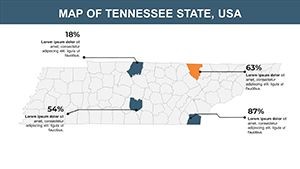
- Embedded Diagrams: Ready-to-use charts for demographics, such as population density bubbles over Knoxville, enhancing data-driven discussions.
- Animation Capabilities: Layer effects to reveal river systems like the Tennessee River progressively, building engagement in your flow.
- User-Friendly Layers: Grouped objects for quick modifications, ideal for collaborative edits in team settings.
In a real scenario, a Knoxville-based nonprofit used analogous maps to secure funding for community projects, attributing success to the template's intuitive visuals that made complex proposals accessible.
Practical Use Cases Tailored to Your Needs
Let's break down how this template shines in action, addressing specific challenges with step-by-step guidance.
Business Development and Market Analysis
Begin with a overview slide of Tennessee's borders. Step 1: Highlight economic zones using color coding - green for growth areas like Clarksville. Step 2: Insert sales data via integrated graphs. Step 3: Annotate with business icons for sectors like healthcare in Memphis. Step 4: Export for stakeholder review. This method outperforms generic slides by providing context-rich insights, fostering better decision-making.
Educational Lectures on Geography and History
For teachers, select a historical map slide. Customize to trace Civil War routes through Shiloh or modern trails in the Great Smoky Mountains. Add timelines and pop-ups for interactive sessions, aligning with National Geographic Education standards to make learning immersive and fun.
Tourism Promotion and Cultural Presentations
Tourism pros can map attractions: Label Graceland in Memphis or Dollywood in Pigeon Forge. Use gradients for visitor traffic, then animate paths for virtual tours. Compared to stock images, this adds professionalism, as seen in campaigns by the Tennessee Department of Tourist Development.
Extend to environmental studies, tracking ecosystems along the Cumberland Plateau, or healthcare planning with hospital distributions. The template's adaptability ensures it fits evolving needs, always with a nod to ease-of-use.
Elevating Your Workflow with Pro Tips
Unlike rudimentary tools, this template incorporates best practices from design experts, similar to those showcased at Adobe MAX conferences. Integrate it by importing data from spreadsheets, applying themes consistently, and previewing on multiple devices. Subtle prompts like "Chart Tennessee's future now" encourage immediate action.
Ultimately, this Tennessee Keynote map template is your ally in crafting presentations that resonate. From illuminating data to sparking conversations, it's designed for impact. Don't settle for ordinary - grab it and redefine your visual strategy today.
Frequently Asked Questions
What level of customization do the slides offer?
Complete flexibility: Edit shapes, colors, texts, and add elements to suit your specific presentation goals.
Does it support collaboration in Keynote?
Yes, share via iCloud for real-time team edits, perfect for group projects.
Are the maps suitable for high-resolution prints?
Absolutely, vector-based designs maintain clarity when exported to PDF or printed.
Can I animate individual map components?
Certainly, Keynote's tools let you animate borders, labels, or data points for dynamic effects.
How do I add external data to the maps?
Import from Numbers or Excel into placeholders for seamless integration.