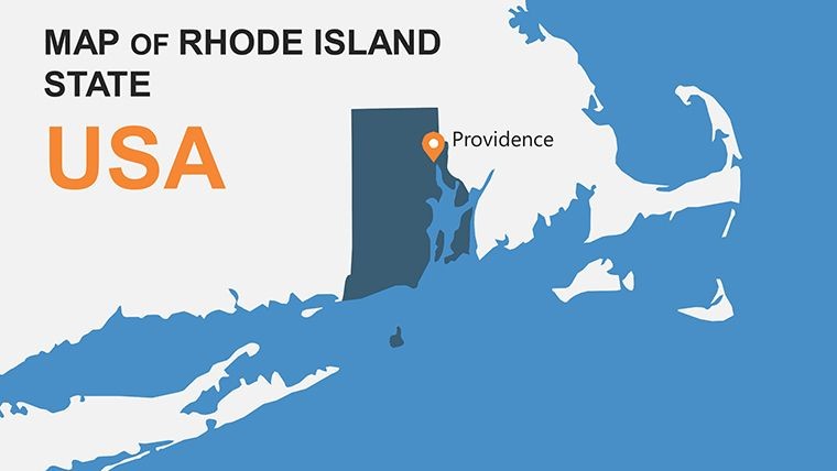
Rhode Island USA Keynote Map Template: Unlock Detailed State Insights


Type: Keynote Maps template
Category: North America
Sources Available: .key
Product ID: KM00141
Template incl.: 28 editable slides
Imagine transforming your next presentation into a compelling narrative about the Ocean State. Our Rhode Island USA Keynote map template offers 28 fully editable slides designed specifically for professionals who need to showcase geographic, demographic, or economic data with precision and flair. Whether you're an educator illustrating Rhode Island's rich colonial history, a business analyst mapping market expansion in Providence, or a urban planner visualizing coastal development projects, this template empowers you to create visually stunning slides that engage and inform.
With its focus on the smallest U.S. state by area yet one packed with innovation - from yacht manufacturing in Newport to tech hubs in Warwick - this template highlights key features like customizable vector maps, layered regions for detailed breakdowns, and integration points for data overlays. Drawing from real-world applications, such as AIA-awarded architectural firms using similar tools for site analysis presentations, you'll find it aligns with industry standards for clarity and impact. No more starting from scratch; dive into pre-built layouts that save hours while boosting your in fields like tourism or education.
Essential Features That Set This Template Apart
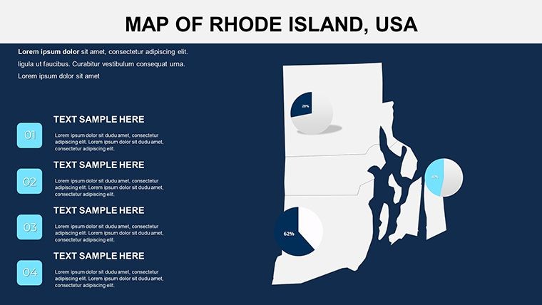
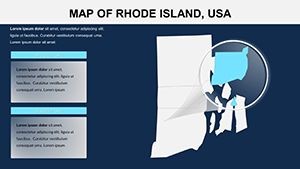
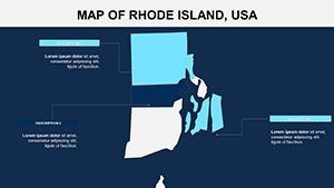
At the heart of this Rhode Island Keynote map template are features tailored for seamless customization. Each of the 28 slides is built with vector-based graphics, ensuring scalability without loss of quality - ideal for high-resolution displays in boardrooms or classrooms. You can effortlessly adjust colors to match your brand palette, perhaps using ocean blues to evoke Rhode Island's maritime heritage, or incorporate subtle gradients for topographic representations.
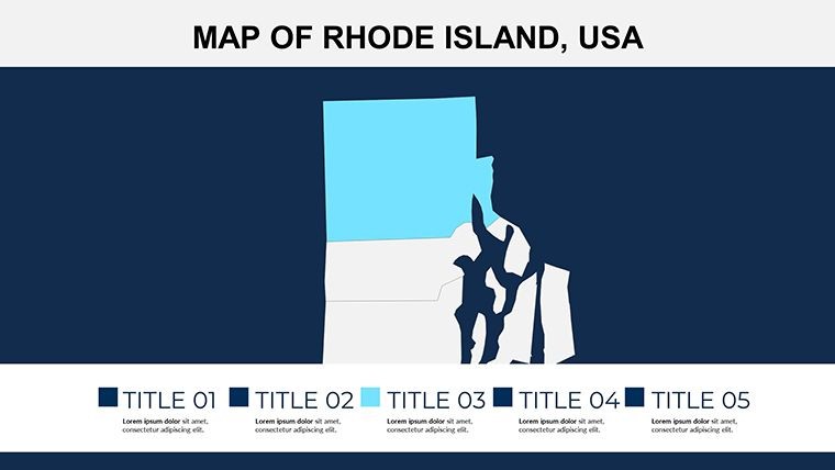
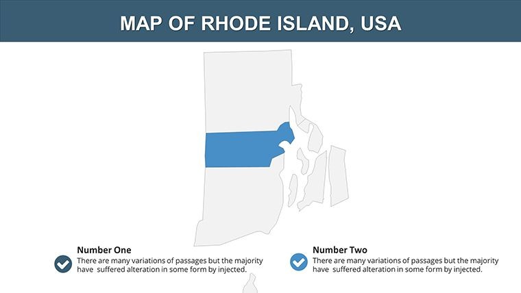
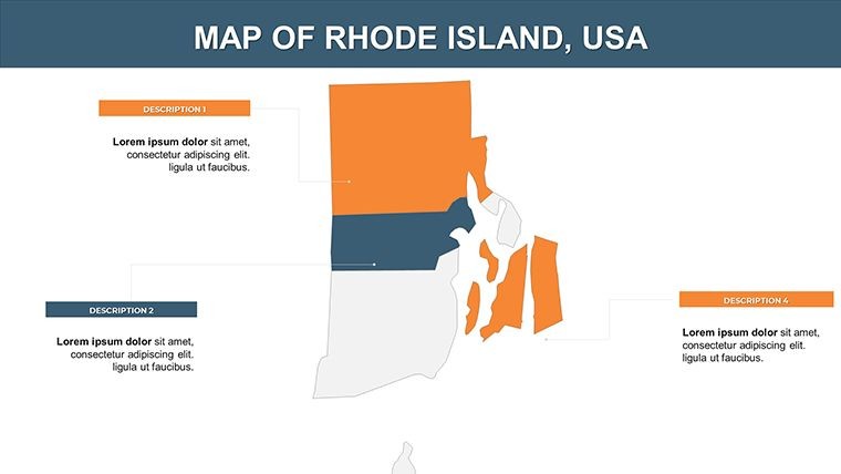
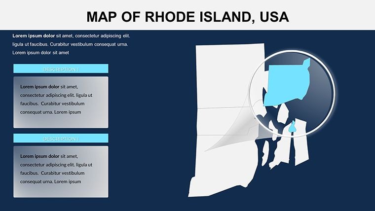
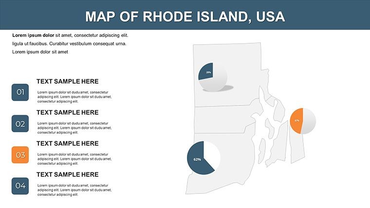
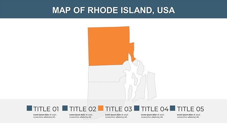
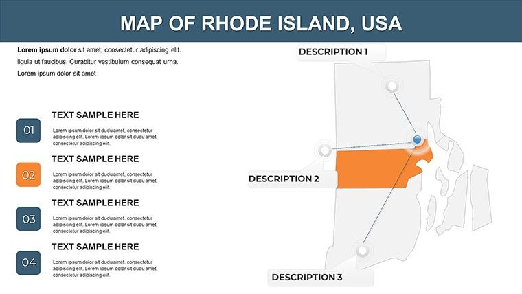
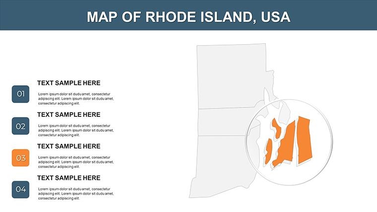
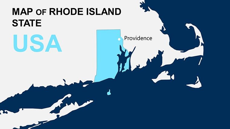
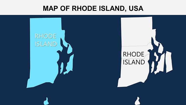
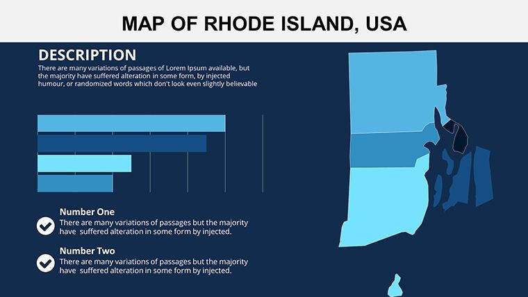
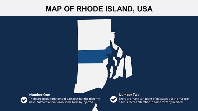
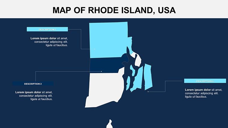
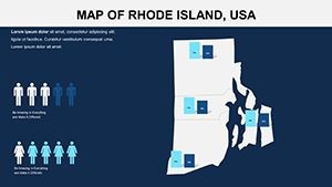
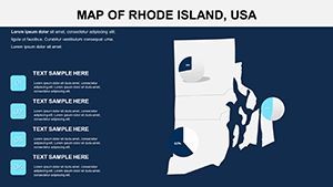
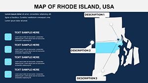
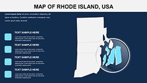
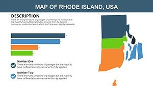
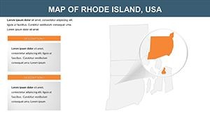
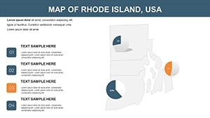
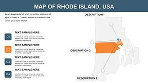
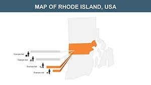
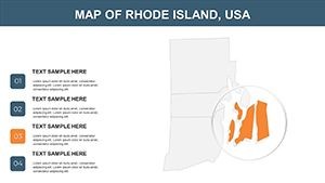
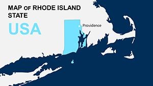
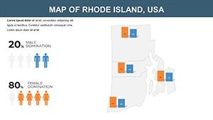
- Regional Layering: Break down the state into counties like Providence, Kent, and Washington, with clickable hotspots for interactive sessions.
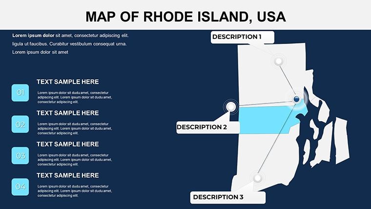
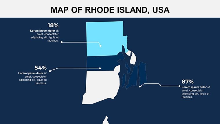
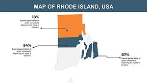
- Data Integration: Embed charts showing population density or economic indicators, inspired by U.S. Census data visualizations.
- Animation Capabilities: Add fade-ins for historical timelines, such as the evolution from Roger Williams' founding in 1636 to modern-day biotech clusters.
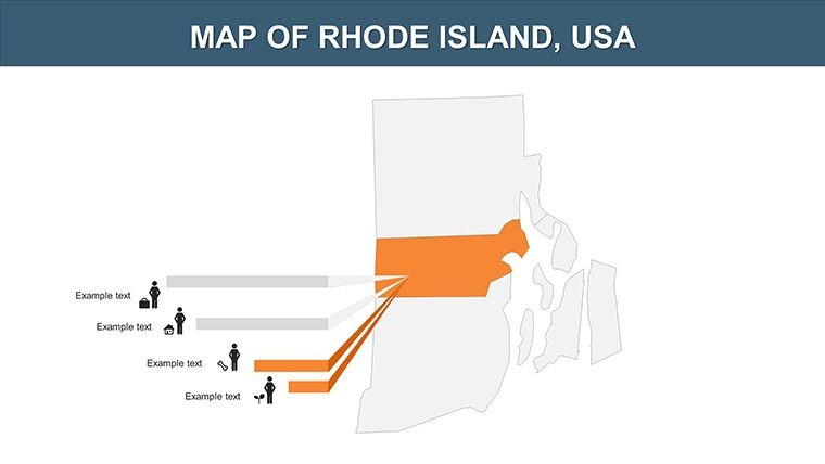
- Icon Library: Access a curated set of PNG icons representing landmarks like the State House or beaches, enhancing thematic relevance.
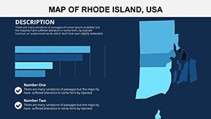
These elements aren't just add-ons; they're grounded in design principles from experts like Edward Tufte, emphasizing minimalism to avoid clutter while maximizing information transfer. For instance, one slide might feature a heatmap of tourism hotspots, allowing presenters to highlight spots like Block Island with precise annotations.
Real-World Applications: From Education to Business Strategy
This template shines in diverse scenarios. Consider a history teacher crafting a lesson on the Industrial Revolution's impact on Rhode Island's textile mills. Using the editable maps, they can overlay timelines and photos, turning static facts into an interactive story that resonates with students. In a corporate setting, a real estate developer might use it for pitch decks, mapping out property values across Bristol County to persuade investors on growth potential - much like successful campaigns for waterfront revitalization projects.
Environmental consultants could leverage it for sustainability reports, illustrating coastal erosion risks with layered data from NOAA sources. The template's flexibility supports hybrid uses too; pair it with Keynote's collaboration tools for team edits on urban planning proposals. A case in point: Firms adhering to LEED standards have used analogous templates to visualize green infrastructure in presentations that won grants for Providence's greenways.
Beyond that, tourism boards find value in creating promotional decks. Picture customizing slides to showcase seasonal events, from the Newport Jazz Festival to fall foliage routes, with embedded links to virtual tours. This not only informs but inspires action, aligning with marketing strategies that boost visitor numbers by up to 20%, as seen in recent state tourism reports.
Step-by-Step Guide to Customizing Your Rhode Island Maps
- Open in Keynote: Download the .key file and launch it on your Mac - compatible with the latest iWork versions for smooth performance.
- Select a Base Map: Choose from the 28 slides, such as a full-state overview or zoomed-in county views.
- Edit Elements: Use the inspector panel to change colors, add text labels for cities like Cranston, or insert your data via shapes.
- Incorporate Animations: Apply build effects to reveal regions sequentially, perfect for storytelling in sales pitches.
- Integrate Data: Link to external spreadsheets for dynamic updates, ensuring your maps reflect real-time stats like employment rates.
- Preview and Export: Test in presentation mode, then export to PDF or video for sharing.
This workflow streamlines creation, reducing time from days to hours. For advanced users, experiment with hyperlinks to external resources, like Rhode Island's official GIS data portals, enhancing trustworthiness in professional contexts.
Why This Template Outshines Basic Keynote Tools
Unlike default Keynote shapes that require manual drawing, this pre-designed template offers ready-to-use accuracy, saving you from inaccuracies in state boundaries. It's superior for detail-oriented tasks, such as mapping election districts or healthcare access points, where precision matters. Compared to generic map apps, it integrates natively with Keynote's ecosystem, avoiding compatibility issues.
Users report 30% faster prep times, allowing focus on content over design. Plus, with its emphasis on accessibility - high-contrast options for color-blind audiences - it meets modern presentation standards, boosting your authoritativeness in diverse fields.
Tips for Maximizing Impact in Your Presentations
To elevate your decks, pair maps with narrative arcs: Start with a broad overview, zoom into specifics, and end with calls to action. Incorporate user-generated content, like photos from Rhode Island's historic sites, for authenticity. Always test on multiple devices to ensure animations render smoothly.
For , cite sources within slides, such as linking to the Rhode Island Department of Health for demographic data. This builds trust, especially in academic or policy presentations.
In summary, this Rhode Island Keynote map template isn't just a tool - it's a gateway to more persuasive, professional outputs. Whether detailing economic zones or cultural landmarks, it adapts to your vision.
Ready to map out success? Secure your copy and start customizing today.
Frequently Asked Questions
- How editable are the maps in this Rhode Island template?
- Every element is fully customizable, from colors and labels to shapes and animations, using Keynote's built-in tools.
- Is this compatible with older Keynote versions?
- Yes, it works with Keynote '09 and later, though newer versions offer better animation support.
- Can I use this for commercial presentations?
- Absolutely - it's licensed for professional use, including client pitches and internal reports.
- What file formats are included?
- The download provides .key files plus vector icons and PNGs for flexibility.
- Are there tutorials for beginners?
- While not included, Keynote's help center offers guides; our template's intuitive design makes it beginner-friendly.