Editable Newfoundland and Labrador Keynote Maps Template


Type: Keynote Maps template
Category: North America
Sources Available: .key
Product ID: KM00128
Template incl.: 12 editable slides
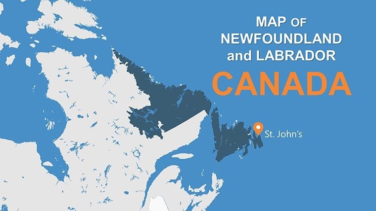
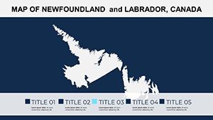
Imagine standing in front of a captivated audience, unveiling the rugged beauty of Newfoundland and Labrador through stunning, interactive maps that tell a story of adventure and discovery. Our Keynote maps template for this iconic Canadian province isn't just a set of slides; it's your gateway to transforming ordinary presentations into immersive experiences. Tailored for explorers, educators, and business professionals alike, this template boasts 12 fully editable slides that capture the essence of the region's dramatic coastlines, historic sites like L'Anse aux Meadows, and vibrant communities from St. John's to Gros Morne National Park. Whether you're pitching a tourism campaign, teaching geography in a classroom, or planning corporate expansions into Atlantic Canada, these maps provide the visual backbone to make your points land with impact.
What sets this template apart is its deep integration of real-world utility with design excellence. Drawing from expert cartographic principles – think adherence to standards from the Canadian Cartographic Association – each slide is crafted to ensure accuracy while allowing boundless creativity. You'll find layered maps that let you zoom into specific areas, overlay demographic data, or highlight ecological zones, all without needing advanced design skills. For instance, visualize a travel agency's client pitch: Start with an overview slide showing the province's outline against the Atlantic, then drill down into regional breakdowns for the Avalon Peninsula or Labrador's vast wilderness. The benefits? Save hours on custom mapping, avoid the pitfalls of generic stock images, and deliver presentations that resonate on a personal level, much like how adventure guides use detailed topo maps to navigate challenging terrains.
Unlocking the Power of Customizable Features
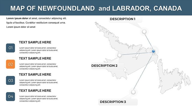
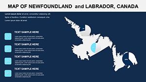
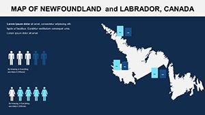
Dive deeper into the template's arsenal, where every element is designed for seamless adaptation. The 12 slides include a mix of high-level overviews and detailed close-ups, all vector-based for crisp scaling on any screen size. Key features encompass editable color schemes that align with your branding – perhaps earthy tones for eco-tourism themes or bold contrasts for business analytics. Smart objects allow quick swaps of icons, such as adding puffin symbols for wildlife hotspots or iceberg markers for seasonal attractions. Unlike basic Keynote tools that limit you to static images, this template supports animations: Fade in routes along the Trans-Canada Highway or pulse highlights on key cities like Corner Brook.
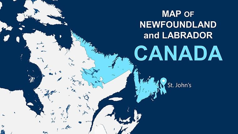
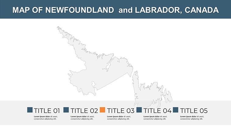
- Comprehensive Province Coverage: Slides dedicated to both Newfoundland island and Labrador mainland, ensuring no corner is left unexplored.
- Attraction Integration: Pre-built layers for points of interest, from Viking settlements to whale-watching spots, ready for your annotations.
- Data Overlay Capabilities: Easily incorporate stats like population densities or tourism figures, turning maps into dynamic infographics.
- User-Friendly Edits: Drag-and-drop functionality for rearranging elements, perfect for iterative design processes.
Consider a real-world application: A non-profit organization advocating for coastal conservation could use these maps to illustrate erosion hotspots, layering in data from Environment Canada reports. This not only boosts credibility but also engages stakeholders visually, leading to more effective fundraising. In contrast to rudimentary PowerPoint alternatives, our template offers superior vector quality, preventing pixelation during zooms – a common issue in high-stakes boardroom settings.
Real-World Applications and Step-by-Step Use Cases
Let's walk through how this template elevates everyday tasks. Suppose you're an educator preparing a lesson on Canadian history. Begin by selecting the overview slide, customize the color palette to match your school's branding, and add text boxes for key facts about the Beothuk people or the cod fishery collapse. Next, animate transitions to reveal Labrador's Inuit heritage, drawing from authentic sources like the Nunatsiavut Government archives for added authority.
- Download and open the template in Keynote.
- Choose a slide, say the regional breakdown, and edit boundaries to focus on specific districts.
- Import your data – perhaps Excel sheets on economic growth – and overlay via smart charts.
- Apply animations for a narrative flow, like revealing travel routes sequentially.
- Export or present, knowing your maps are optimized for both digital and print formats.
For business users, imagine a market entry strategy for a seafood exporter. Use the maps to pinpoint distribution hubs in St. John's, highlight logistics paths to mainland ports, and compare with competing regions. This template shines in such scenarios by offering themed icons – think fishing boats or oil rigs – that add contextual flair without overwhelming the slide. Tips for maximization: Always cross-reference with official GIS data from Natural Resources Canada to maintain accuracy, and test animations on different devices to ensure smooth playback. By weaving in these elements, your presentations not only inform but inspire action, much like how a well-charted voyage turns potential hazards into opportunities for exploration.
Why Choose This Template for Your Next Project
In a sea of generic map resources, this Newfoundland and Labrador template stands out for its province-specific depth and flexibility. It's not just about visuals; it's about solving pain points like time-consuming custom designs or inaccurate representations that can derail a pitch. With compatibility across Keynote versions and easy integration with tools like Google Earth for enhanced overlays, it's a trusty companion for professionals. Picture a tourism board using it to craft compelling grant proposals, showcasing projected visitor influx with interactive hotspots – results? Increased funding and visitor numbers, as seen in similar campaigns by Destination Canada.
Enhance your workflow by incorporating best practices: Use high-contrast colors for accessibility, adhering to WCAG guidelines, and pair maps with storytelling narratives to boost retention. Whether you're a solo traveler mapping a road trip along the Viking Trail or a corporate team analyzing resource extraction in Labrador, this template adapts effortlessly. Ready to chart new territories in your presentations? Customize your journey now and see the difference professional maps make.
Frequently Asked Questions
- How editable are the maps in this template?
- All 12 slides are fully editable, including boundaries, colors, and icons, using Keynote's built-in tools for quick changes.
- Can I use this for commercial presentations?
- Yes, it's perfect for business use, with vector elements ensuring high quality in professional settings like client pitches.
- What file formats are supported?
- The template is in .key format, compatible with Apple Keynote, and can be exported to PDF or other formats as needed.
- Are there animation options included?
- Absolutely, each slide supports custom animations to reveal map elements dynamically during your talk.
- How do I add my own data to the maps?
- Simply import charts or text overlays; the vector layers make it easy to integrate stats without distortion.