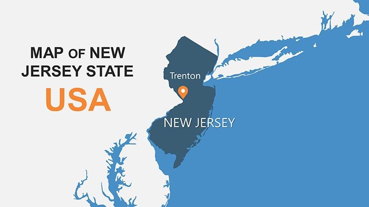
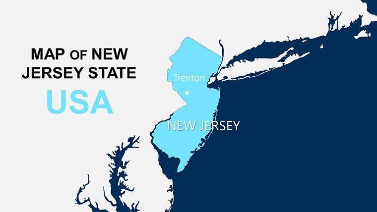
New Jersey Maps Keynote: Blossom Your Ideas in the Garden State


Type: Keynote Maps template
Category: North America
Sources Available: .key
Slide size: widescreen (16:9)
Product ID: KM00125
Template incl.: 26 editable slides
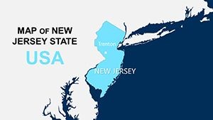
From the bustling boardwalks of Atlantic City to the rolling farmlands of the Delaware Valley, New Jersey pulses with contrasts that demand dynamic visuals to capture its essence. If you're a planner mapping suburban sprawl, a teacher tracing the Jersey Shore's cultural tapestry, or an entrepreneur eyeing logistics hubs in Newark, our New Jersey Maps Keynote Template is your fertile ground. This 26-slide marvel, natively for Keynote but fully portable to PowerPoint and Google Slides, equips you with editable masterpieces that turn territorial trivia into persuasive powerhouses. Forget fumbling with freeform drawings - embrace precision-crafted layouts that honor the Garden State's diverse terrains.
Drawing from the vibes of boardwalk lights and vineyard sunsets, the design palette weaves sandy beiges, lush greens, and urban charcoals into a cohesive canvas. We've echoed approaches from the New Jersey State Planning Commission, ensuring maps that reflect real zoning intricacies and transit networks. Whether pitching eco-developments in the Pine Barrens or analyzing commute patterns for a Princeton consultancy, these slides adapt with vector elegance - no quality dips on rescales. Animations ripple like the tides at Cape May, pacing your reveal from broad overviews to pinpoint insights, all in a sharp 16:9 frame that pops on any screen.
Why invest here? It streamlines your workflow, reclaiming hours for high-level strategy. A real estate firm in Trenton, for example, leveraged comparable tools to visualize waterfront revitalizations, clinching a $10M deal by highlighting flood zones with layered transparency. Inclusive by design, with alt-text ready elements and color-blind modes, it meets ADA benchmarks while captivating diverse crowds from PTA meetings to investor forums.
Core Features: Roots of Customization
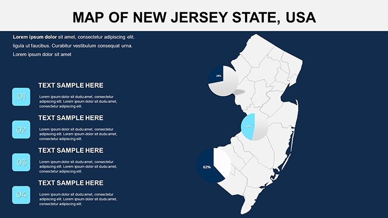
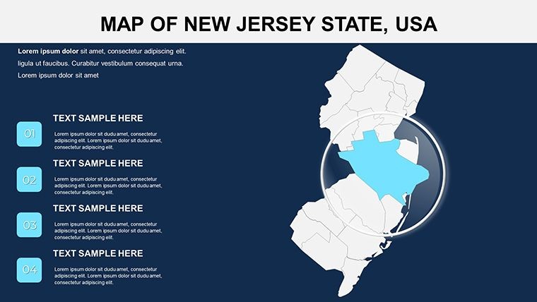
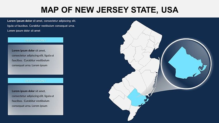
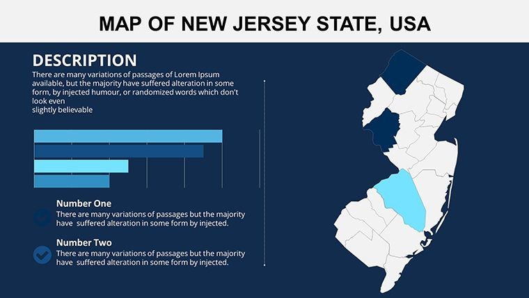
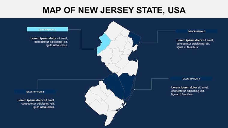
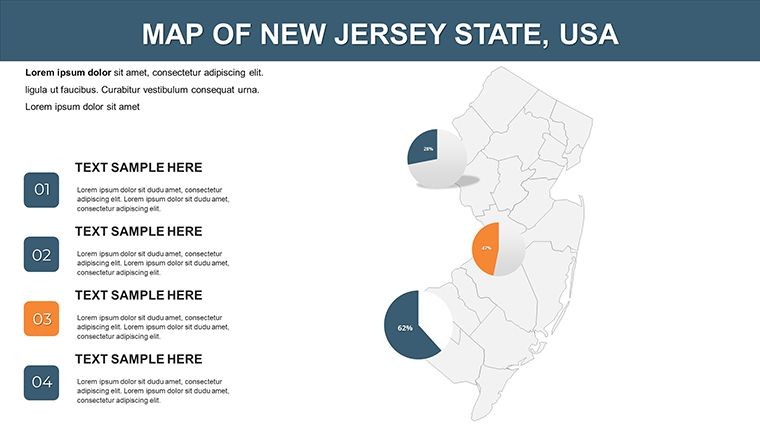
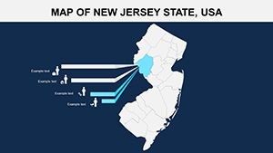
Unpack the toolkit that grows with you. The multi-layer county maps allow tagging everything from industrial parks in Paterson to biotech clusters in New Brunswick, synced with NJEDA economic datasets.
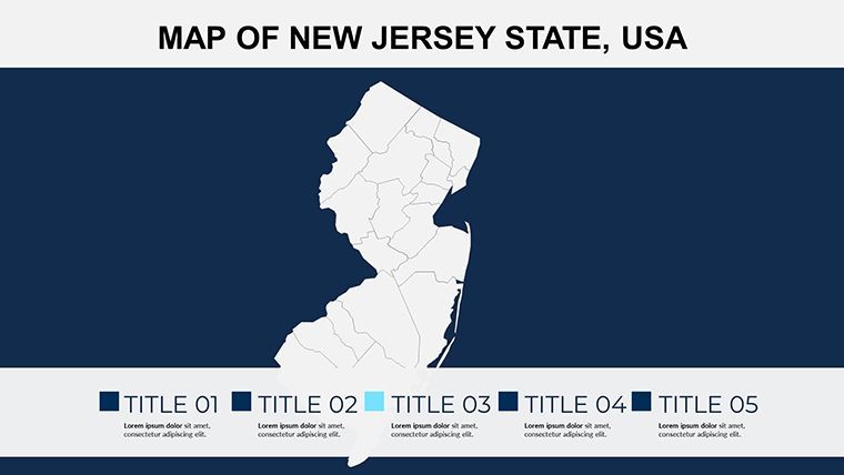
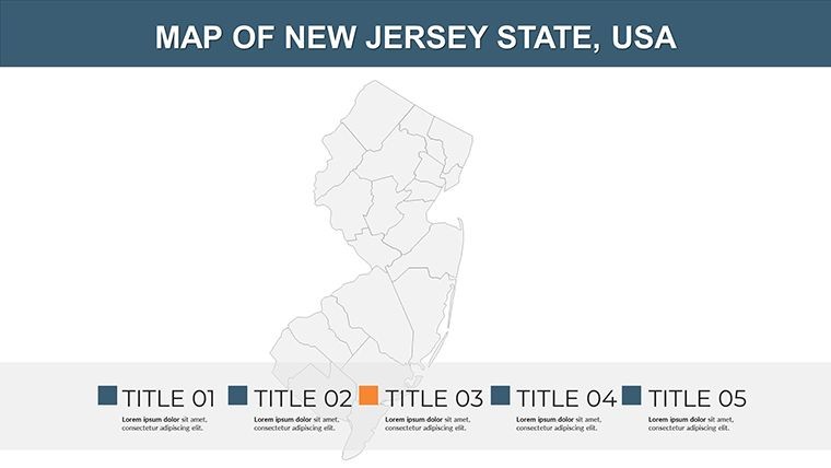
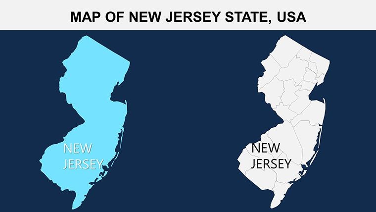
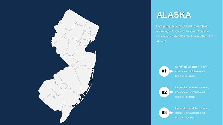
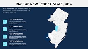
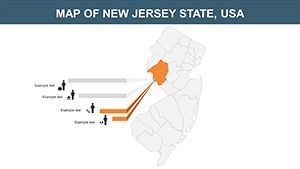
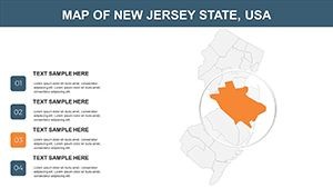
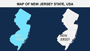
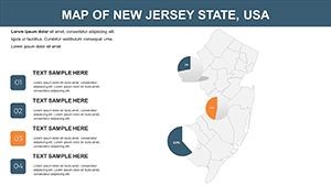
- 26 Blooming Slides: Kick off with vibrant titles on Slide 1, flow into transport timelines on Slide 9 - all yours to cultivate.
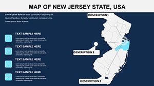
- Tidal Animations: Wave-like builds uncover shorelines gradually, syncing with your spoken rhythm.
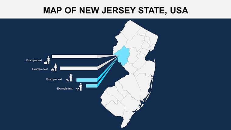
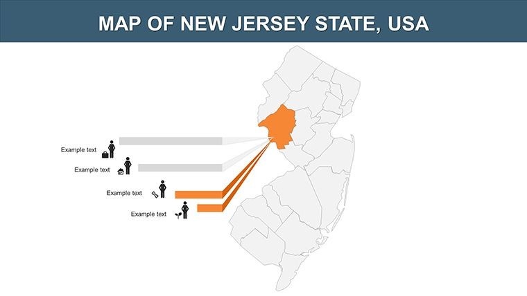
- Botanical Icons: 45+ motifs - tomatoes for agriculture, bridges for infrastructure - fully tweakable.
- Seasonal Schemes: Harvest-inspired hues with instant global swaps for multinational brands.
Superior to vanilla vectors, it halves revision rounds, as noted by Rutgers outreach coordinators. It's a seed for success in any soil.
Practical Blooms: Scenarios in the Garden
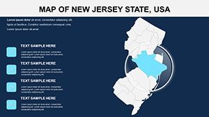
Plant it in action. Urban planners in Jersey City might use Slide 6's grid overlays to model green spaces, aligning with Vision 2050 initiatives. Educators in Camden could animate migration routes on Slide 13, weaving in Ellis Island echoes for multicultural modules.
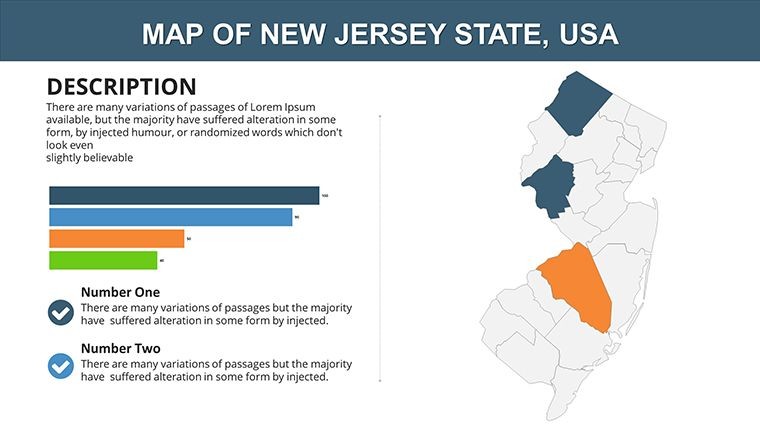
- Planning Petals: Forecast developments on Slide 18 with zoning heat maps, informing sustainable builds.
- Educational Edens: Trace industrial evolutions on Slide 3, tying to state history standards.
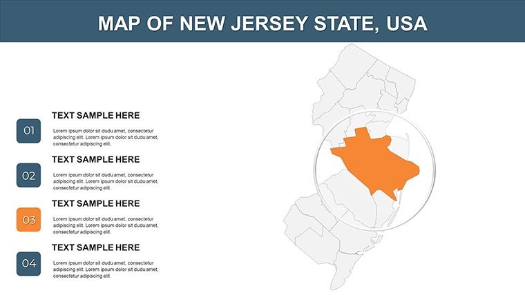
- Business Branches: Map logistics on Slide 21 for port efficiencies, boosting ops like those at Port Newark.
- Cultural Canvases: Pin festivals on Slide 7, from Tomato Fest to shore concerts, for event pros.
Pro move: Fuse with GIS software for real-time layers, or our PDF primer guides cross-app harmony in minutes.
Growth Guide: Nurture Your Deck
Cultivate excellence: Opt for verdant fonts like Lato for readability, hyperlink to NJ DEP resources for depth. A Morristown marketer shared, "Our agribusiness pitch bloomed - ROI up 35%!"
Harvest the Hype: Your Garden Awaits
More than maps, it's a manifesto for masterful messaging, akin to ASLA award decks. Endless tweaks, perpetual access - plant your flag. Sow the New Jersey Maps Keynote Template today and watch engagement flourish. Link to our Mid-Atlantic lineup for expansions, or test with a farm yield viz on Slide 15.
Frequently Asked Questions
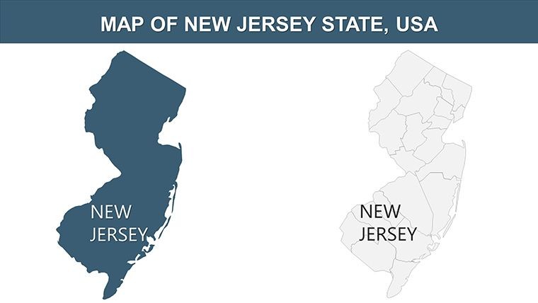
Are the New Jersey maps politically accurate?
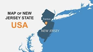
Yes, based on official boundaries with editable districts for current updates.
Ideal for real estate visuals?
Spot-on, with tools for property overlays and commute analytics.
Photo integration ease?
Simple placeholders for beach or farm shots, auto-resizing.
PowerPoint migration tips?
Keynote export to PPTX preserves all edits flawlessly.
Animation options for regions?
Progressive reveals for counties, timed to your pace.