Missouri Keynote Maps Template: Gateway to Midwestern Mastery


Type: Keynote Maps template
Category: North America
Sources Available: .key
Product ID: KM00119
Template incl.: 26 editable slides
Step into the role of a St. Louis executive, mapping out corporate expansions along the Missouri River or detailing urban renewal in Kansas City with effortless precision. This Missouri Keynote Maps Template is engineered for business leaders, researchers, and students who require detailed, up-to-date visuals to convey economic vitality and strategic opportunities. With 26 editable slides, including vector icons and PNG files, it offers unparalleled flexibility to infuse your presentations with current data on industries like aerospace or agribusiness. Ditch the hassle of from-scratch designs; this template accelerates your workflow, embedding professional polish that impresses investors and collaborators alike.
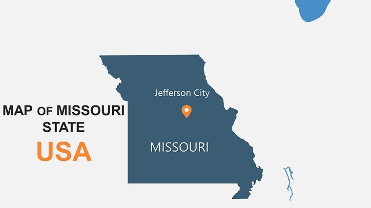
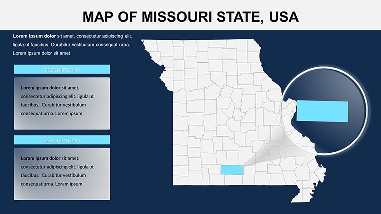
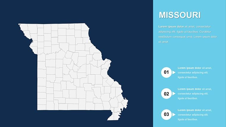
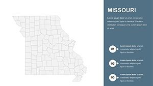
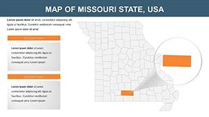
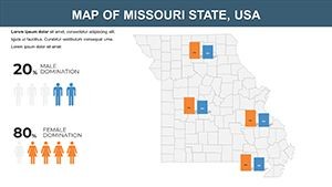
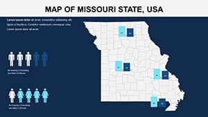
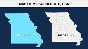
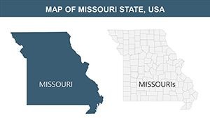
Central to the U.S., Missouri's 114 counties span diverse terrains from Ozark hills to river valleys, all captured in this template's high-fidelity maps. Users can post info on existing companies or forecast developments, making it indispensable for board meetings or academic theses. Tailored for Keynote, it includes easy color, text, and photo swaps, plus animation options for dynamic reveals. Reflecting tactics from Missouri Economic Research and Information Center reports, it helps visualize growth sectors, such as biotech in the Bootheel, ensuring your content is both authoritative and actionable.
Standout Features for Professional Mapping
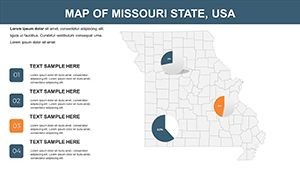
The template's value shines through its comprehensive toolkit. From base maps to specialized views, every slide invites customization for business or study needs.
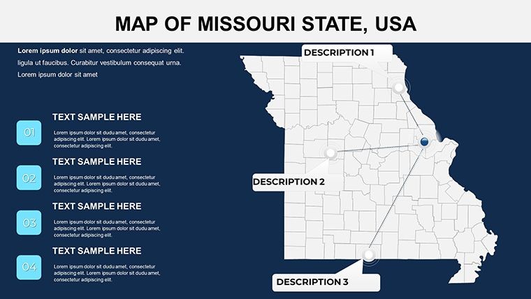
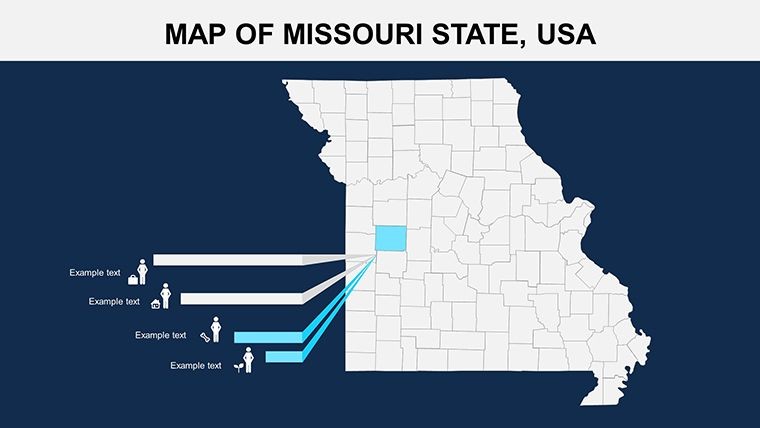
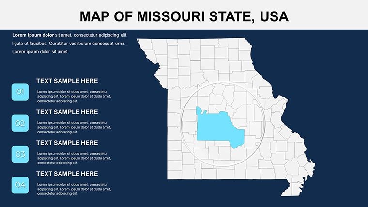
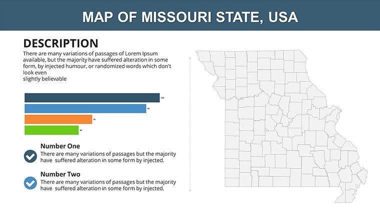
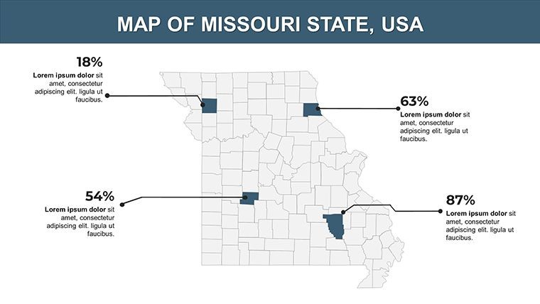
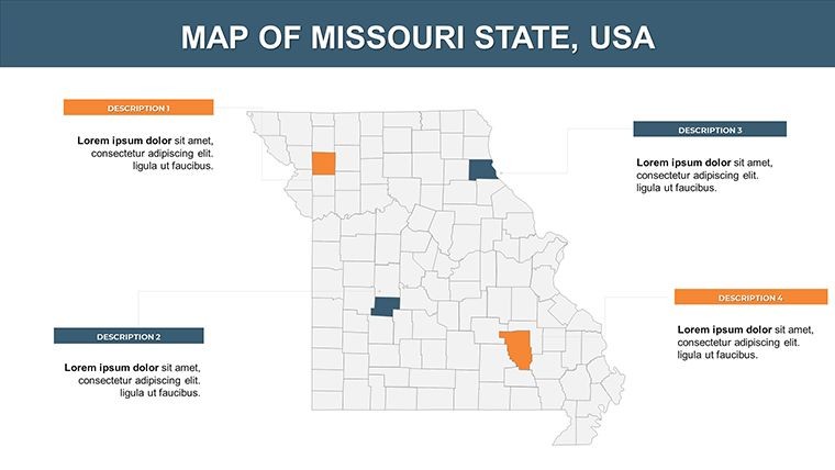
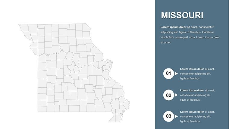
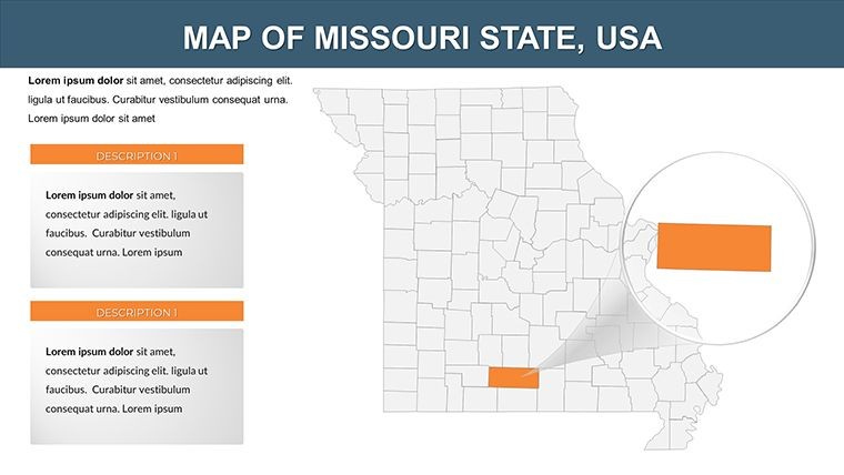
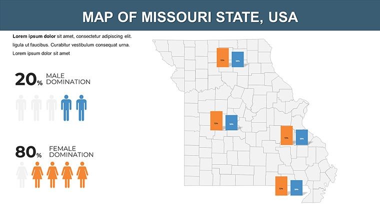
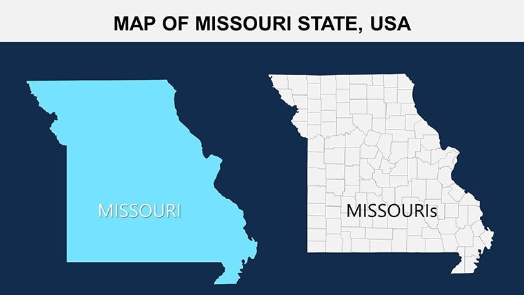
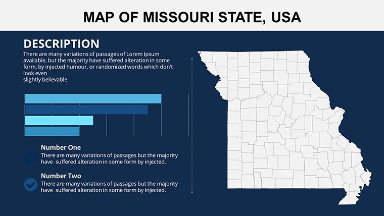
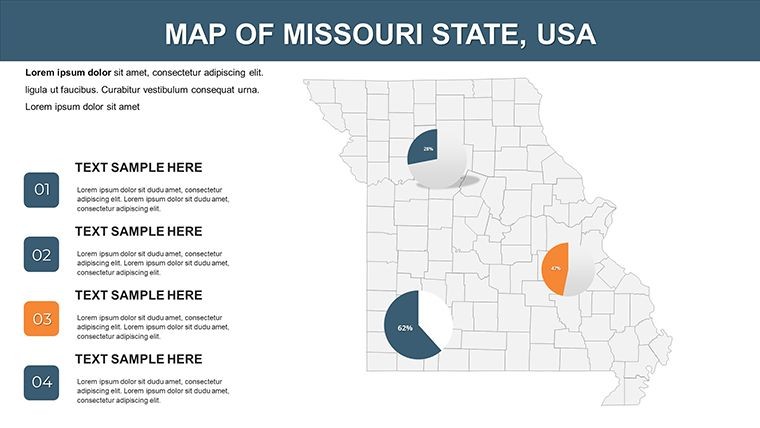
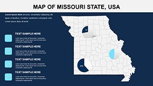
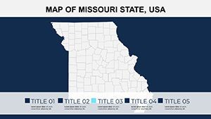
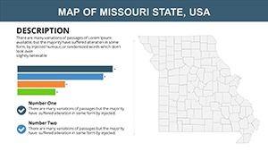
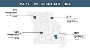
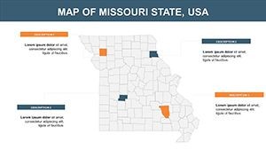
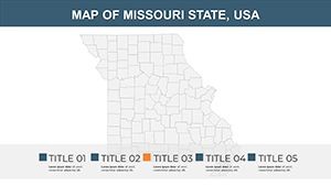
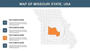
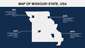
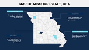
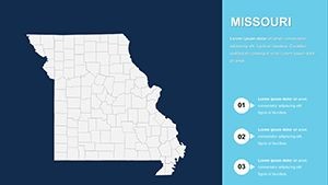
- Detailed County Maps: All 114 counties with borders, labels, and placeholders for economic indicators.
- Vector Icons & PNGs: Included assets for quick enhancements, like company logos or data symbols.
- Full Editability: Alter colors, texts, and photos with drag-and-drop simplicity.
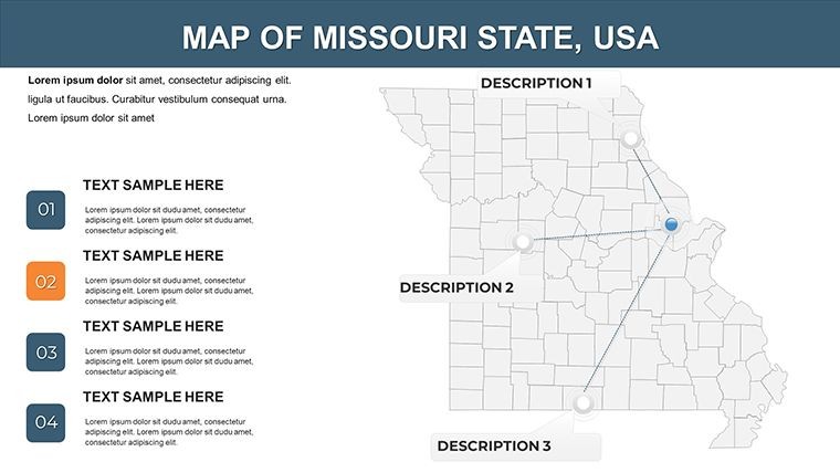
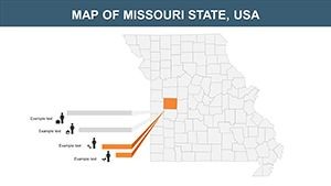
- Animation Integration: Add effects to highlight development zones or timelines.
Superior to basic diagramming software, it leverages Keynote's strengths for fluid edits. A development firm in Jefferson City applied it to showcase infrastructure projects, leading to faster funding approvals - a testament to its real-world efficacy.
Slide Navigation: From Overview to Detail
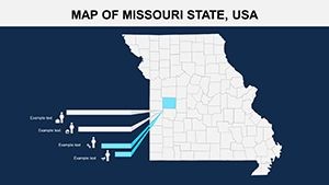
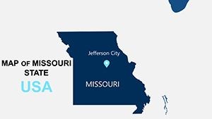
Opening slides (0-5) offer statewide panoramas, great for setting context. Slides 6-15 target central counties, mapping urban corridors. Later ones (16-25) explore rural areas, ideal for agribusiness analytics. Leverage the included PNGs for hybrid visuals, blending maps with photos of landmarks like the Gateway Arch.
- Load economic data into vector placeholders.
- Theme colors to reflect Missouri's earthy palette.
- Incorporate icons for categorical clarity.
- Export variants for different audience formats.
Versatile Applications: Driving Business and Learning
In business, plot company distributions across counties to inform expansion strategies, integrating stats on manufacturing booms. For studies, detail historical trade routes or environmental policies in the Ozarks. Non-profits can map community initiatives, drawing from models used by the Missouri Department of Economic Development.
Pro insight: Balance detail with whitespace to guide viewer attention, a principle from business visualization experts that amplifies impact. Whether tracking post-pandemic recovery or educational outreach, this template scales to your ambitions.
Empower Your Vision with Superior Maps
Designed for those who build futures, this Missouri Keynote Maps Template delivers tools that inform and innovate. From vector precision to editable depth, it's your partner in professional excellence. Customize, animate, and present with confidence - acquire it now to unlock opportunities that map success.
Where geography meets strategy, this template bridges the gap. Transform your approach and watch your ideas take shape.
Frequently Asked Questions
What assets are included besides slides?
Vector icons and PNG files for enhanced customization, plus .key sources for Keynote.
How suitable is it for economic development reports?
Perfectly - editable maps allow overlaying company data and growth projections seamlessly.
Can photos be easily added?
Yes, dedicated placeholders support drag-and-drop photo integration without disrupting layout.
Does it support study presentations?
Indeed, with detailed county views for topics like history, geography, or regional planning.
Are animations straightforward to implement?
Keynote's intuitive tools make adding custom effects quick and user-friendly.
What's the focus on rural vs. urban areas?
Balanced coverage, with slides adaptable for both urban hubs and rural economic analyses.