 Click to zoom
Mexico Keynote Maps: Unlock Vibrant Geographical Storytelling
| Format | .pptx |
| Slides | 30 unique layouts |
| Aspect ratio | 16:9 |
| Compatibility | PowerPoint |
| Animated | No |
| Language | English |
| License | Commercial |
| File size | — |
| Version | v1.0 |
| Last updated | May 2022 |
What's inside
Picture weaving the tapestry of Mexico's sun-kissed beaches, ancient ruins, and bustling metropolises into a presentation that mesmerizes. Our Mexico Keynote maps template achieves this with 30 editable slides, ideal for tourism experts, educators, or global business strategists. Highlighting Mexico's position as a North American gem bordered by oceans and gulfs, this tool lets you customize to showcase tourist hotspots or economic zones. It solves the hassle of sourcing accurate maps by providing ready-to-edit visuals with animation potential, ensuring your audience stays hooked. Exclusively for Keynote on Mac, it integrates widescreen formats for modern displays, blending professional design with cultural flair to deliver presentations that inspire wanderlust or informed decisions.
Essential Features for Mexico-Themed Excellence
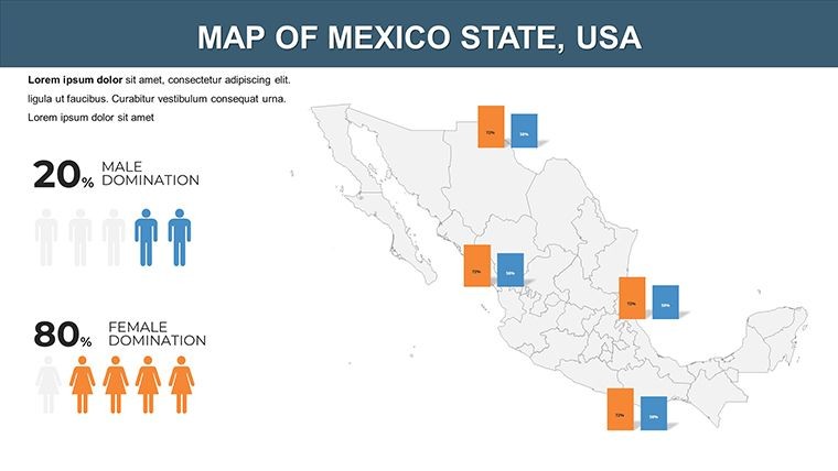
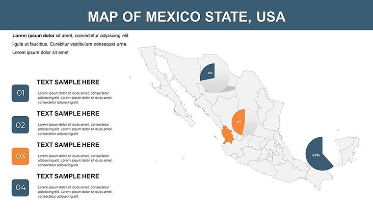
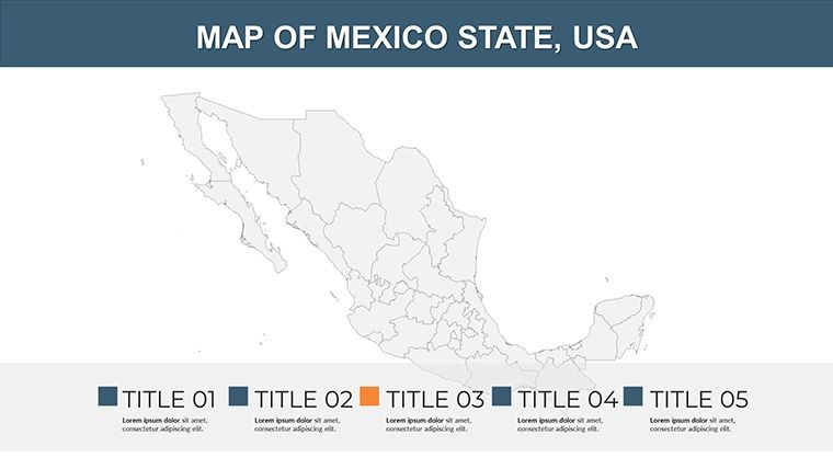
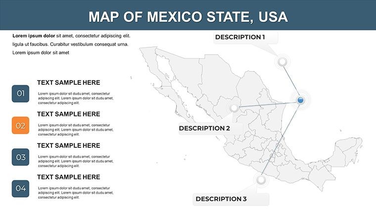
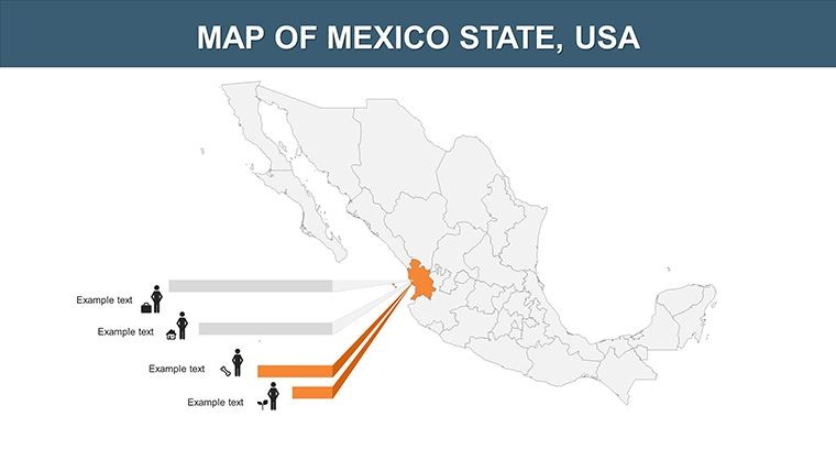
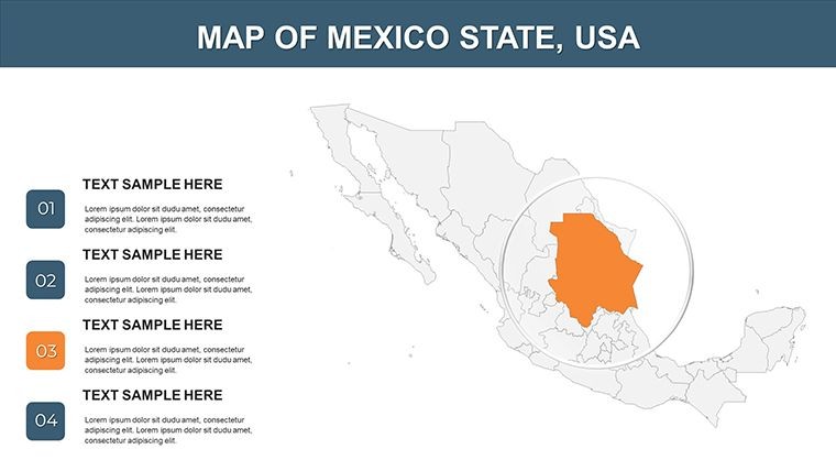
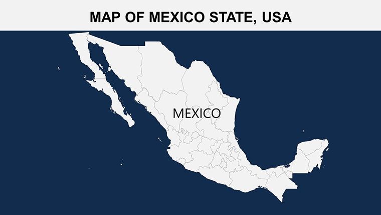
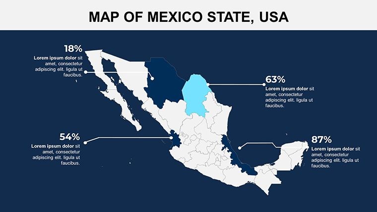
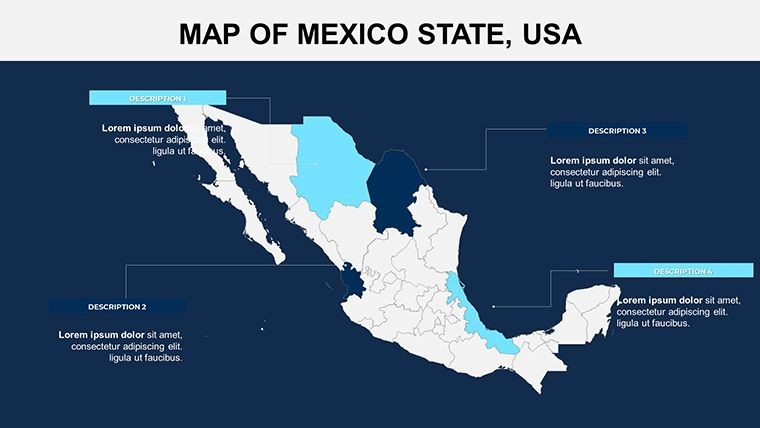
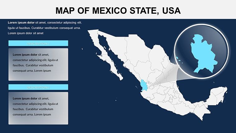
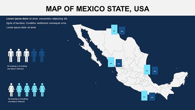
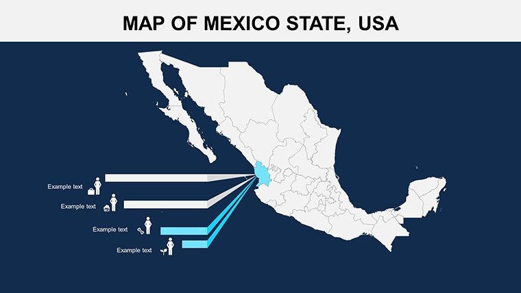
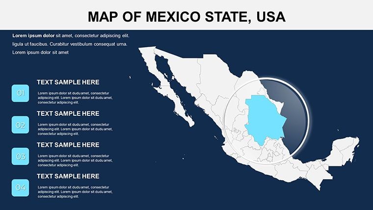
This template shines with its comprehensive map coverage of Mexico's 32 states, featuring editable colors, texts, and photos for personalized touches. Widescreen ratios (16:9 and 16:10) ensure versatility, while custom animation effects bring maps to life - animate border reveals or state highlights. Included vector icons (e.g., sombrero for cultural themes, pyramid for historical sites) and PNG files expand creative options, outpacing standard Keynote tools by offering tourist-centric elements like beach or mountain symbols. The fully editable nature promotes trustworthiness, aligning with design standards for clear, impactful visuals.
Comprehensive Slide Layouts: From Broad Views to Details
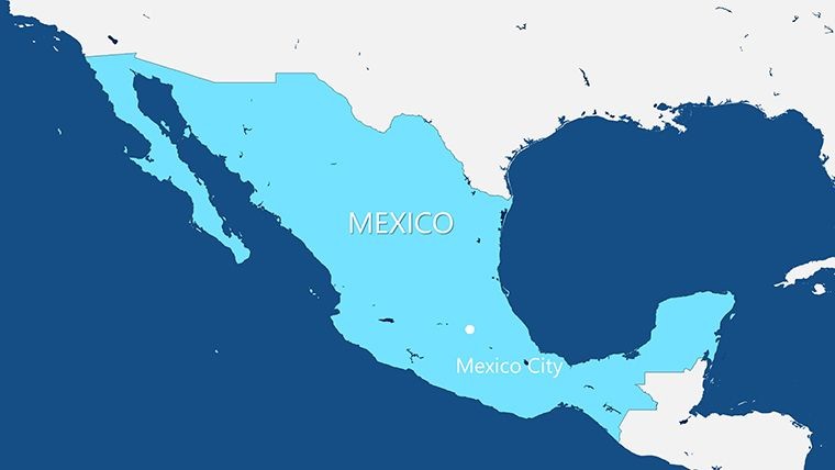
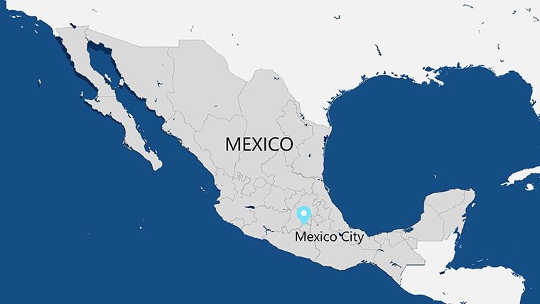
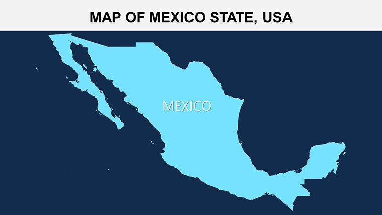
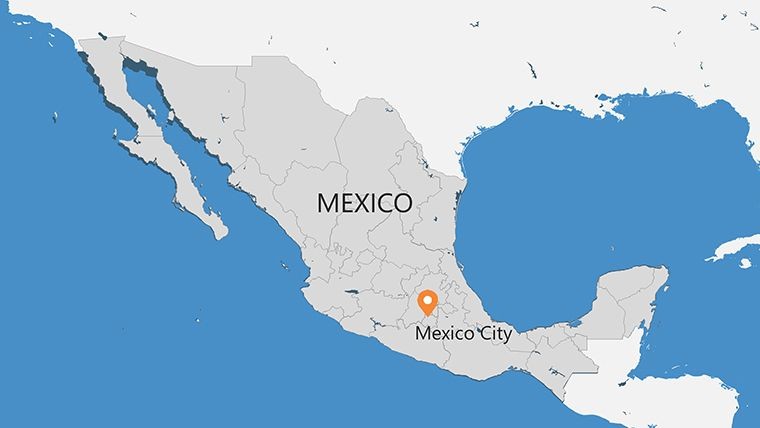
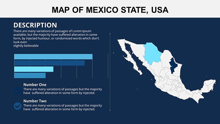
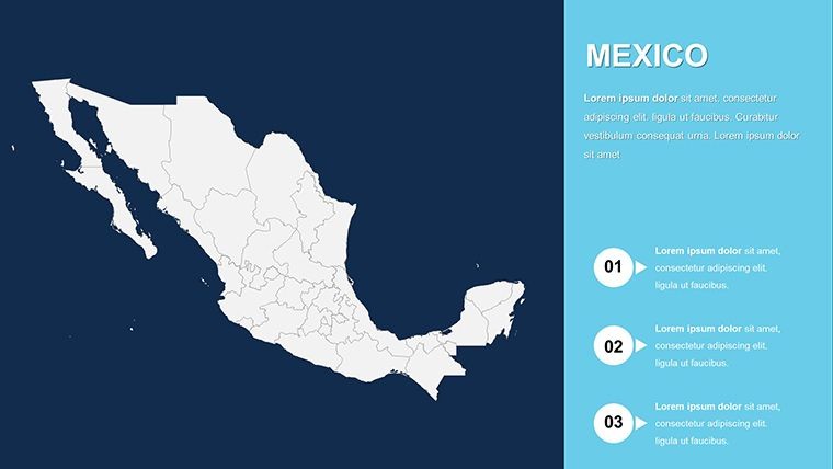
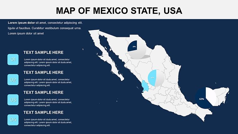
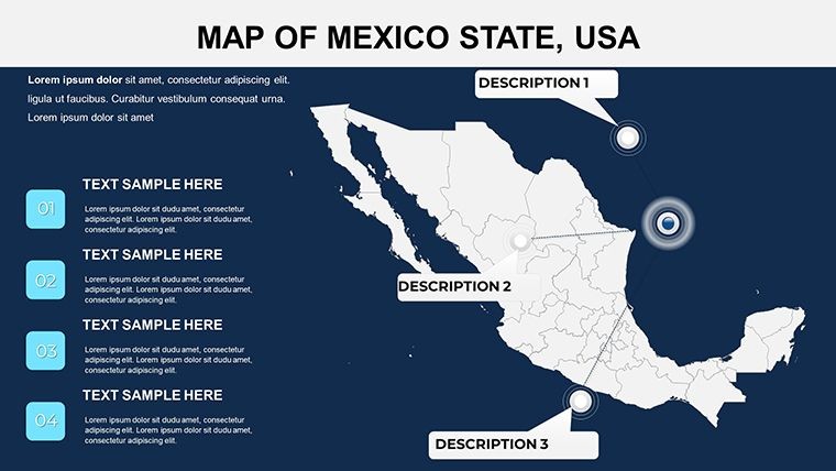
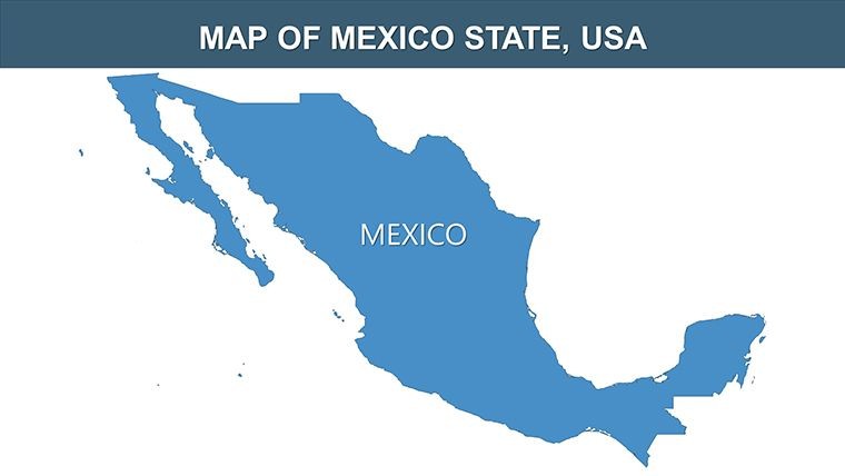
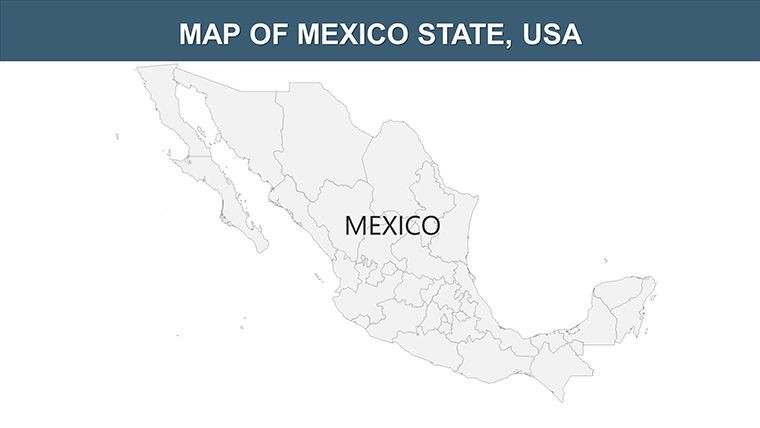
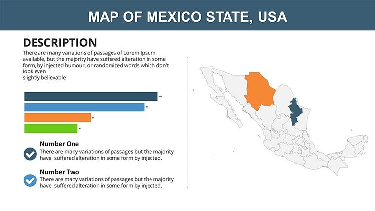
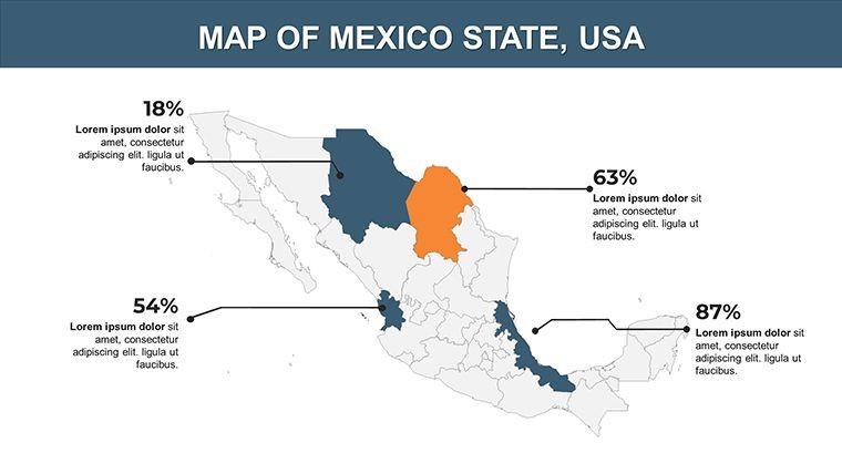
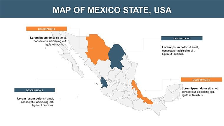
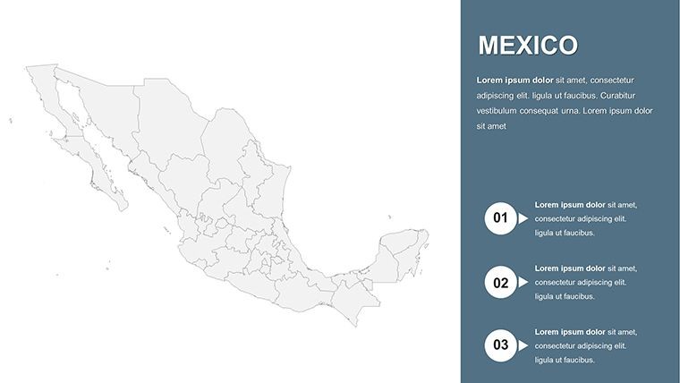
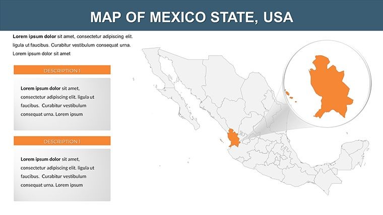
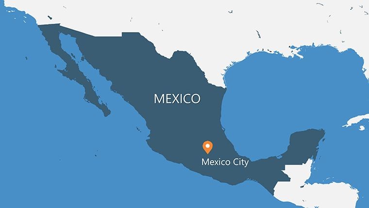
Spanning 30 slides, the structure supports expansive narratives: Slide 1 offers a national overview with oceanic borders. Slides 2-12 detail northern states like Baja California, with editable layers for trade routes. Central sections, Slides 13-22, focus on cultural hubs - Slide 18 might include timelines for Mayan history with animated progressions. Final slides 23-30 provide infographic integrations, such as graphs for tourism revenue or comparative state GDPs. Each leverages vector scalability, perfect for zooming into specifics like Mexico City's districts without pixelation.
Diverse Applications: Capturing Mexico's Essence
Tourism professionals can craft pitches for Riviera Maya packages, animating coastal maps to evoke adventure, akin to successful campaigns by VisitMexico. Educators might map indigenous histories across states, enhancing lessons with visuals that improve comprehension, as per UNESCO cultural education guidelines. For business, it's key in expansion plans - overlaying logistics in Yucatan, drawing from World Bank reports on infrastructure. Real examples include architecture firms using similar tools for heritage site proposals, meeting AIA international standards and securing projects through vivid representations.
Seamless Customization Process
- Open in Keynote and pick a foundational map slide.
- Alter state colors - vibrant hues for tourist areas like Quintana Roo.
- Insert photos or icons; add text for annotations like "Top Beach Destinations."
- Apply animations: Pulse effects on key cities for emphasis.
- Export in various formats for global sharing.
This workflow aids quick adaptations, such as a hotel chain visualizing property locations for investor meetings.
Edge Over Conventional Maps
Unlike basic options, this includes 30 slides with pre-mapped states and extras, slashing preparation time. It embeds LSI like "Caribbean coast tourism" or "Pacific trade maps" fluidly, aiding visibility. Users value its reliability, with a travel agent reporting enhanced client conversions. Inspired by experts like Rick Steves, it emphasizes immersive visuals for memorable presentations.
A notable instance: A nonprofit mapped biodiversity in Chiapas, leading to conservation funding - underscoring the template's practical prowess.
Advanced Tips for Engaging Outputs
- Use Keynote's photo editing for seamless image integrations.
- Balance animations with static elements for rhythm.
- Incorporate multilingual labels for international audiences.
- Optimize for virtual presentations with high-contrast colors.
- Reference official sources like INEGI for data accuracy.
These, from seasoned designers, ensure culturally sensitive and effective results.
Concluding, the Mexico Keynote maps template is your passport to superior presentations. Embrace its potential - download and chart Mexico's wonders with style today.
Frequently Asked Questions
How many states are mapped?All 32 Mexican states with editable details for comprehensive coverage.What animation features are available?Custom effects like reveals and transitions to dynamize your maps.Are widescreen formats supported?Yes, in 16:9 and 16:10 for modern screens.Can I change photos and colors?Fully - adapt to your theme with ease.What's included besides slides?Vector icons and PNG files for added versatility.Ideal for tourism presentations?Perfectly, with elements tailored for highlighting attractions.Good for
- Project roadmaps and sprint plans
- Product launch timelines
- Quarterly or annual review decks
- Company history and milestone summaries
Licence
reviews
Pretty decent template for travel data slides.
The slide with the connected arrows looked nice during the meeting.
Not perfect honestly but it got the job done for my project.
I changed most of the colors but the base layout was fine.
Downloaded this for a student assignment and used almost every map slide.
FAQ
Will it work in Google Slides?
Are fonts embedded?
Can I use this for client work?
What's the refund policy?
Do you update the template after purchase?
Similar templates
See all Keynote Maps →
All 30 slides