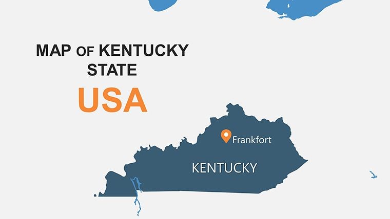
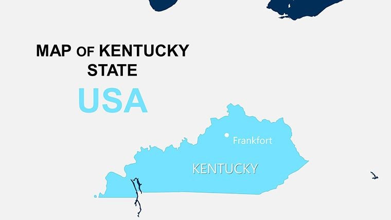
Kentucky Counties Keynote Map Template: From Bluegrass to Insights


Type: Keynote Maps template
Category: North America
Sources Available: .key
Product ID: KM00109
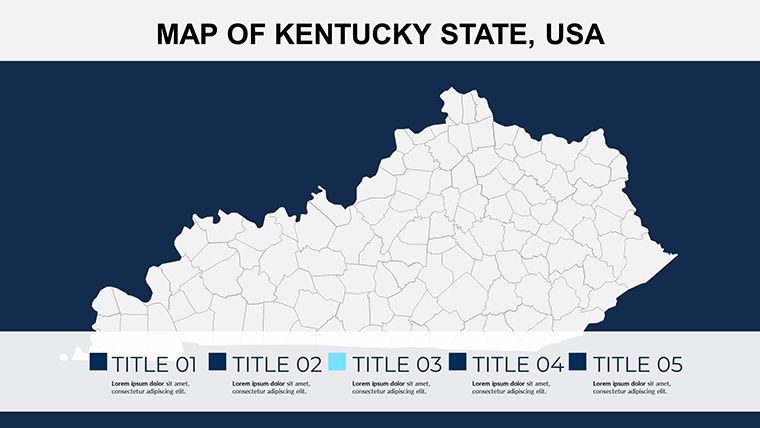
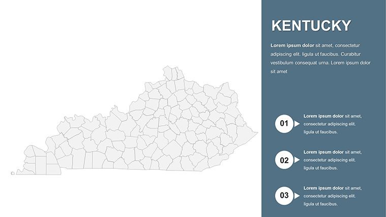
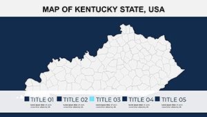
Template incl.: 26 editable slides
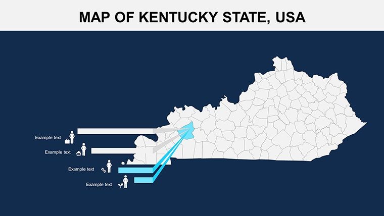
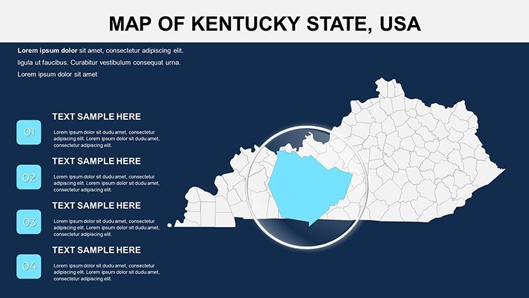
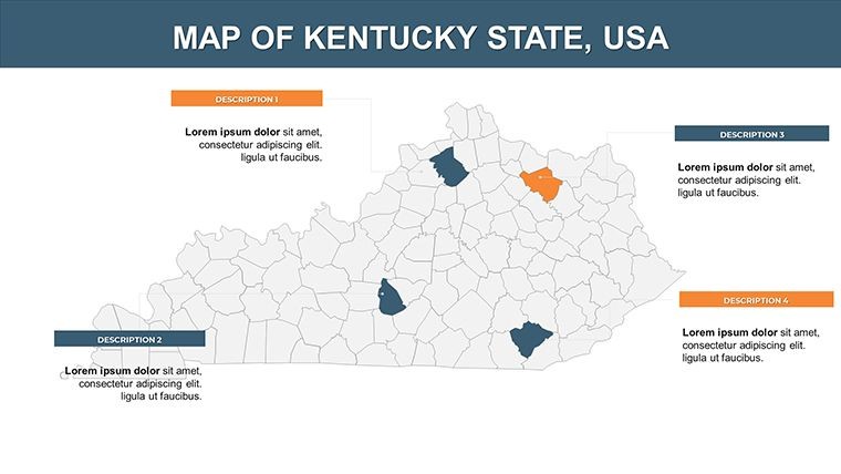
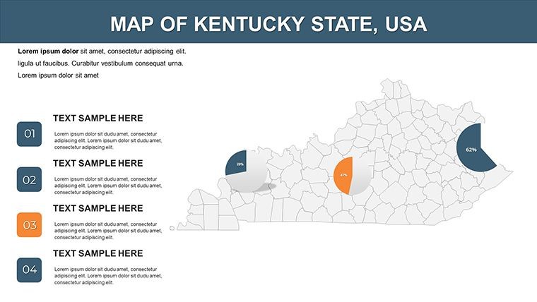
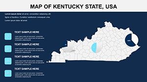
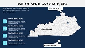
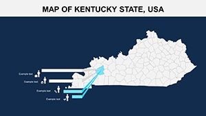
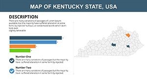
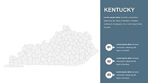
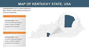
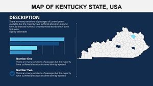
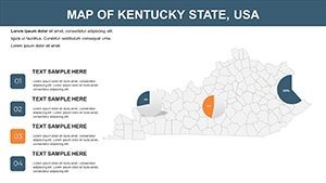
Kentucky's charm - horse farms, bourbon trails, and rugged Appalachians - calls for maps that honor its heritage while delivering data-driven clarity. Our Kentucky Counties Keynote Map Template, with 26 editable slides, is crafted for developers, conservationists, and outdoor enthusiasts to navigate its 120 counties effortlessly. Optimized for Keynote yet versatile for PowerPoint and Google Slides, it visualizes population hotspots in Jefferson County or natural wonders in the Daniel Boone National Forest, making it indispensable for land-use proposals or adventure planning presentations.
Inspired by USGS standards for topographic accuracy, this template facilitates everything from economic analyses in Lexington to trail mapping in Pike County. It's more than slides; it's a canvas for storytelling that has helped real estate firms close deals by illustrating market potentials with bourbon-barrel-aged precision.
Standout Features for Seamless Data Display
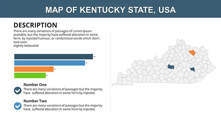
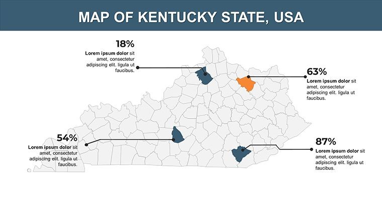
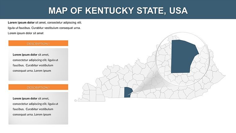
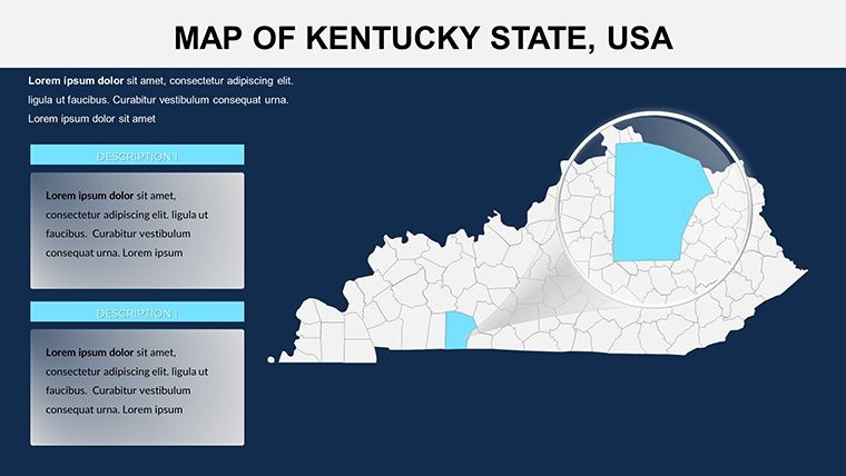
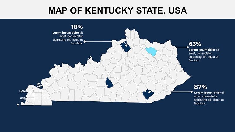
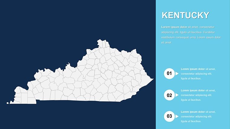
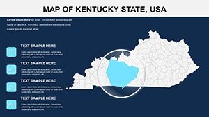
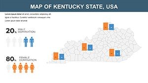
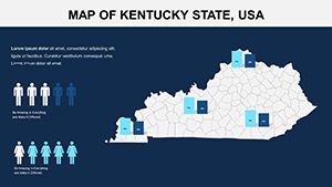
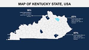
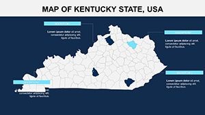
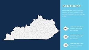
The template's prowess shines in its thoughtful design, offering 26 slides with scalable vectors that shine in any format. Customize symbols for major cities like Louisville or overlay rivers for hydrological studies, all while maintaining a cohesive, professional look.
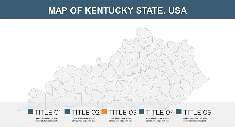
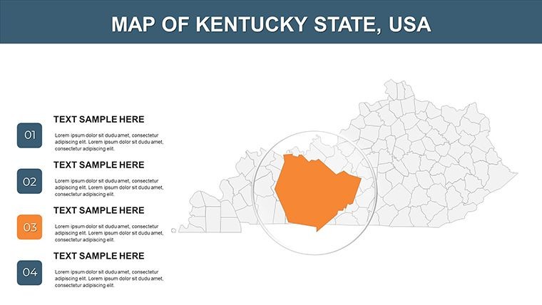
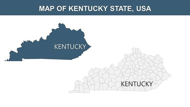
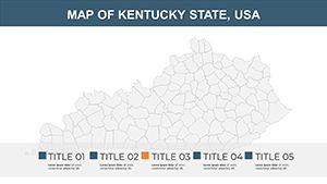
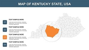
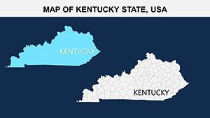
- Detailed County Mapping: 120 counties with precise boundaries, ready for data like land area or elevation in Knott County.
- Symbolic Overlays: Colors and icons for demographics, e.g., green for parks in Fayette, enhancing interpretive power.
- Photo and Text Flexibility: Embed images of Kentucky Derby tracks or adjust fonts for readability in dense urban views.
- Broad Compatibility: Export to multiple platforms without compromising interactive elements.
It surpasses generic templates by including pre-built legends that sync with edits, a favorite among conservation groups mapping biodiversity in Carter Caves.
Effortless Editing Process
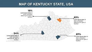
- Data Loading: Integrate Kentucky stats from state databases into maps for automatic symbol updates.
- Visual Refinements: Recolor for themes like tourism routes through Bourbon County distilleries.
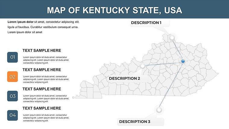
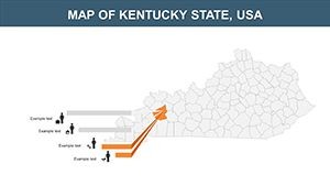
- Interactive Builds: Add navigation links between overview and county-specific slides.
- Distribution Ready: Animate lake reveals, then share via export for stakeholder feedback.
This approach ensures quick turnarounds for time-sensitive projects.
Versatile Applications in Kentucky's Landscape
For developers eyeing high-income zones in Oldham County, the template clarifies opportunities with population density layers. Conservationists track land use in the Pennyrile Forest, supporting grants with visual evidence. Outdoor fans map hiking trails across the Cumberland Plateau, turning plans into engaging itineraries.
A Louisville development team case: They visualized mixed-use sites near the Ohio River, using county maps to demonstrate accessibility, which expedited zoning approvals.
Key Scenarios to Leverage the Template
- Business Targeting: Overlay income data for retail placements in Warren County.
- Land Conservation: Highlight protected areas in Rowan for advocacy presentations.
- Outdoor Recreation: Route boating paths on Kentucky Lake in Marshall County.
Such uses promote actionable insights, as echoed in reviews from Kentucky planning associations.
Advantages Over Everyday Mapping Solutions
Free alternatives lack the depth; this template uses Kentucky-optimized projections (like State Plane) for true-to-scale views and includes tooltips for on-slide data pops. In PowerPoint, it retains hyperlinks for enhanced navigation.
Tip: Blend mountain icons with fade-ins to evoke the misty ridges, captivating audiences with Kentucky's topography.
Elevate your Kentucky visions - grab this Map Template and plot your course to clarity.
Frequently Asked Questions
Q: How accurate are the county boundaries?A: Based on official sources, with editable precision for custom needs.
Q: Supports PowerPoint export?A: Yes, with all features intact for Windows users.
Q: Can I map natural features like mountains?A: Definitely, with layers for rivers, lakes, and elevations.
Q: Useful for real estate development?A: Yes, ideal for site analysis and demographic overlays.
Q: Number of included slides?A: 26, from state-wide to detailed county views.
Q: Licensed for commercial use?A: Fully, including proposals and client materials.