Kansas Counties Keynote Map: Crafting Landscapes in Every Slide


Type: Keynote Maps template
Category: North America
Sources Available: .key
Product ID: KM00108
Template incl.: 26 editable slides
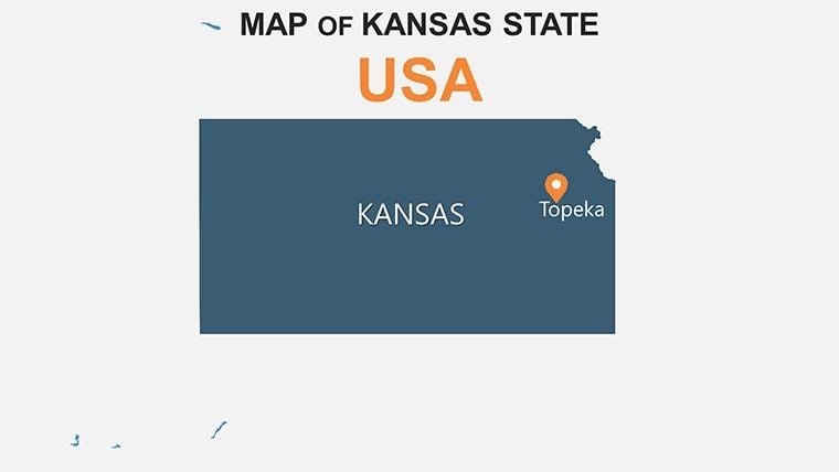
Kansas, with its vast steppes and whispering prairies, demands visuals that capture its expansive spirit. Our Kansas Counties Keynote Map Template delivers just that through 26 editable slides, empowering landscape architects, environmental consultants, and business strategists to map out ideas with flair. Compatible across Keynote, PowerPoint, and Google Slides, this template is your ally in presenting everything from wind farm placements in the Flint Hills to urban renewal in Wichita's Sedgwick County. It goes beyond mere outlines, incorporating natural elements like poplar forests to create immersive, story-driven presentations that align with ASLA guidelines for landscape design communication.
Developed with input from GIS specialists, the template ensures geographical fidelity while offering creative freedom. Animate county transitions to reveal soil types or water resources, turning a standard report into a dynamic exploration of Kansas's heartland. Firms specializing in sustainable architecture have praised it for simplifying complex site analyses, like those for eco-friendly developments in Riley County.
Core Features for Professional-Grade Mapping
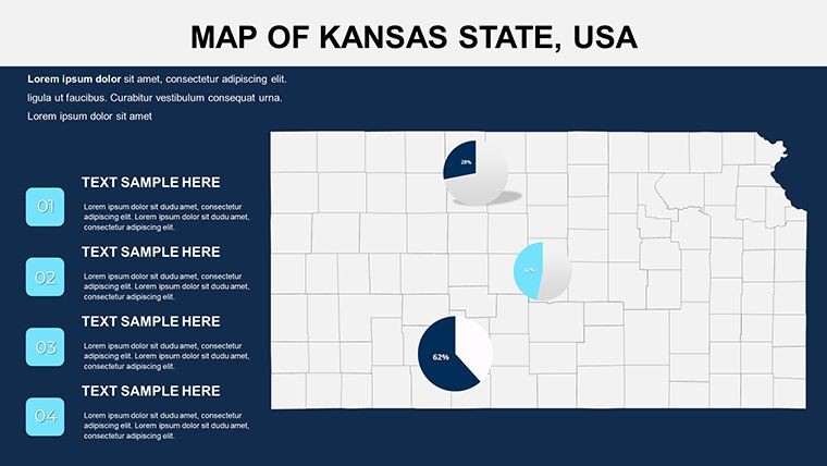
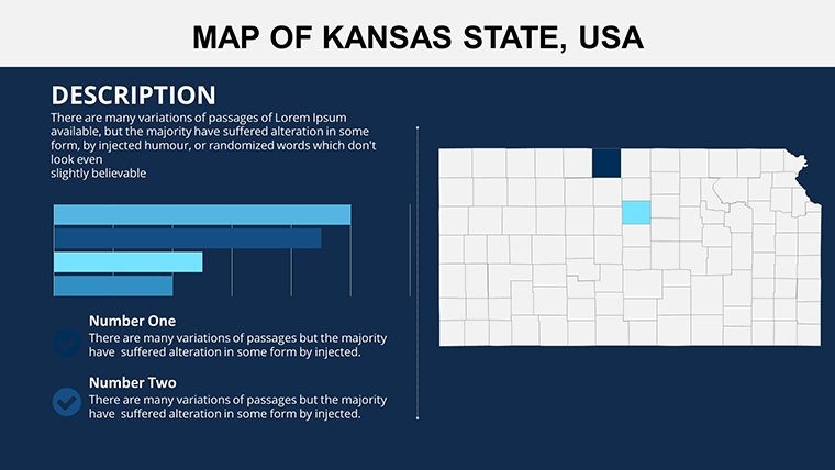
At the heart of this template are features that prioritize usability and impact. The 26 slides boast fully vectorized elements, allowing infinite scalability without quality loss - crucial for large-format prints in architecture reviews. Edit animations to simulate seasonal changes over the steppe, or layer in photos of local flora for added depth.
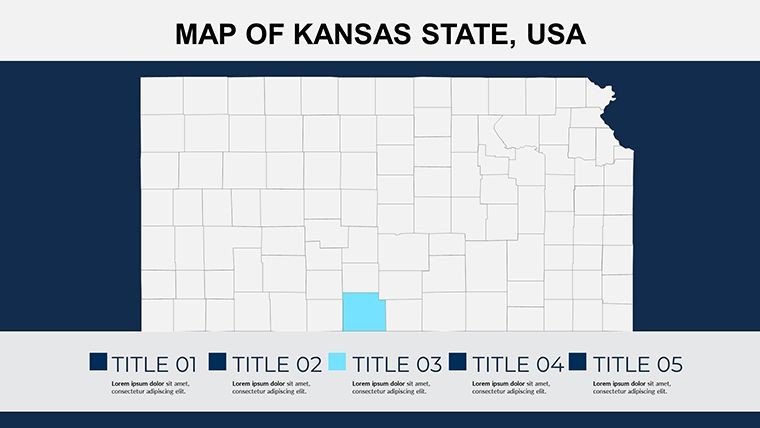
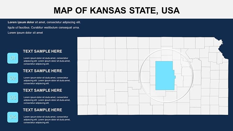
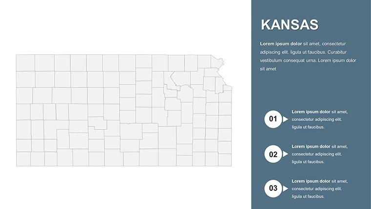
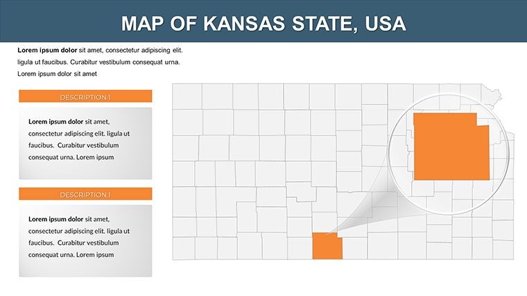
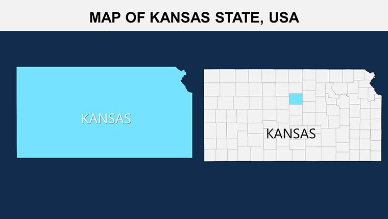
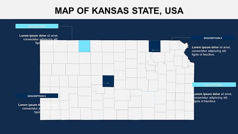
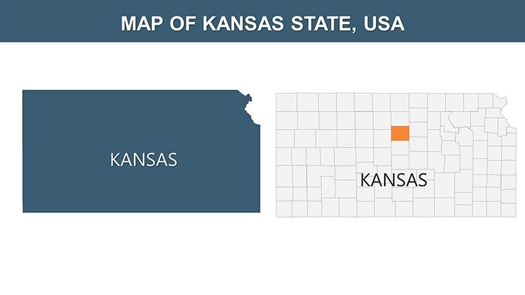
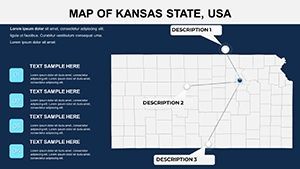
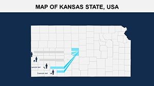
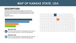
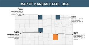
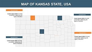
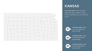
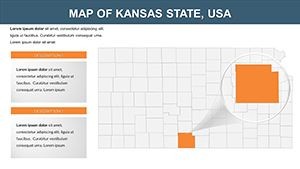
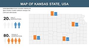
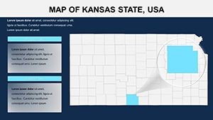
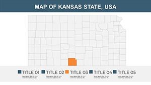
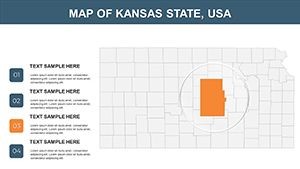
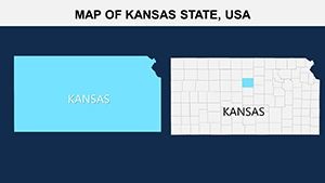
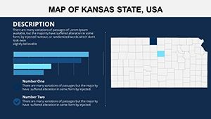
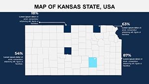
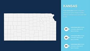
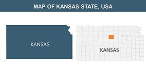
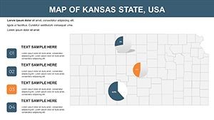
- Precise County Delineations: All 105 Kansas counties mapped accurately, with options to highlight natural features like the forested edges in Cherokee County.
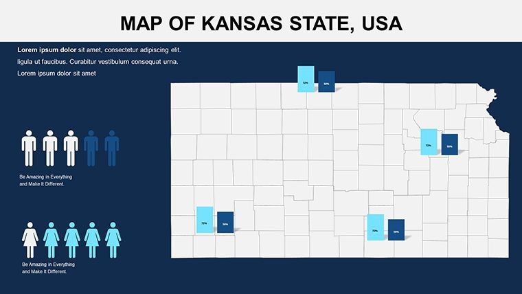
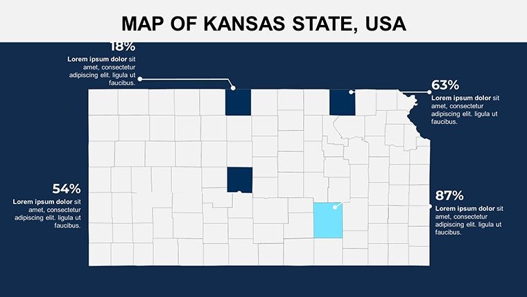
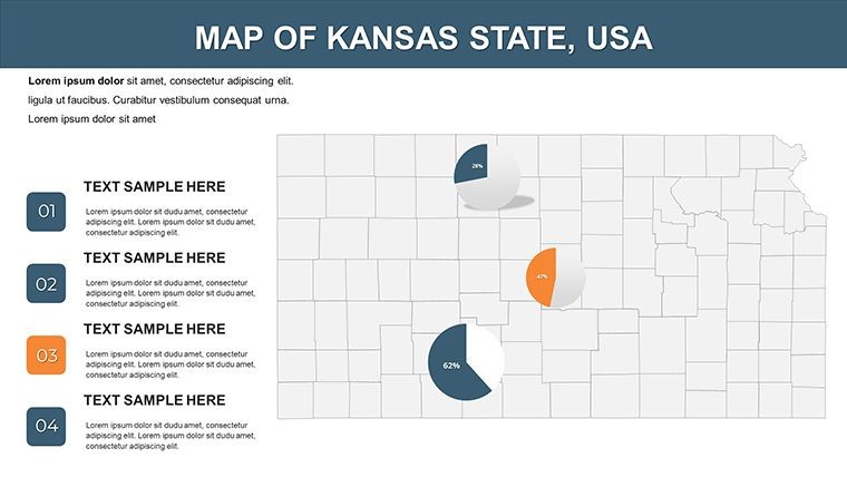
- Customizable Animations: Pre-set effects for revealing data layers, such as drought impacts across the Great Plains.
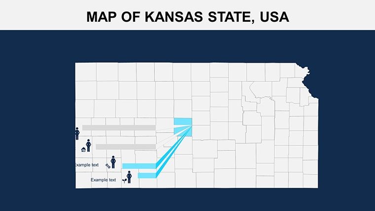
- Icon and Photo Integration: Includes PNGs and vectors for trees, rivers, and buildings - swap in your own for project-specific visuals.
- Multi-Format Support: Native .key files plus easy exports to PPTX or Slides, facilitating collaboration with non-Mac teams.
This edges out competitors by embedding workflow efficiencies, like one-click color swaps that match Kansas State University branding for academic uses. A Topeka planning firm, for instance, used it to map flood mitigation strategies, impressing funders with clear, animated county risks.
Quick Customization Workflow
- Base Setup: Launch in Keynote and import Kansas GIS data from state portals for auto-fitting boundaries.
- Element Tweaks: Modify text for county labels and apply textures to represent steppe grasslands in Ellis County.
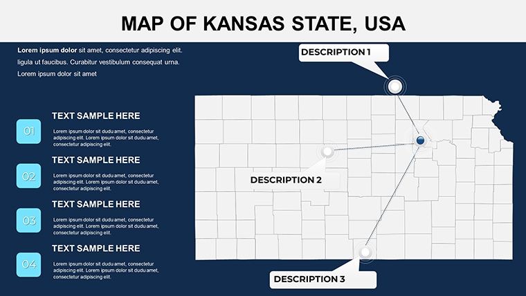
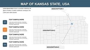
- Dynamic Additions: Insert hyperlinks to detailed slides, enabling a choose-your-path experience for audience queries.
- Output Optimization: Animate full-state scans, then export for versatile sharing.
Such simplicity means you spend more time innovating than iterating.
Practical Applications Across Kansas Contexts
This template thrives in scenarios where geography informs action. Landscape architects employ it for site proposals, overlaying vegetation zones in the Osage Cuestas to advocate for native plant integrations. Environmental analysts visualize conservation efforts, like wildlife corridors in Morton County, drawing from real initiatives by the Kansas Department of Wildlife.
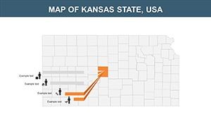
In education, it aids lessons on the Dust Bowl legacy, mapping historical vs. current land use. Business users chart supply chains, from grain elevators in Saline to tech parks in Johnson County.
Highlighted Use Cases for Inspiration
- Environmental Assessments: Color-code erosion risks in western counties for policy briefs.
- Urban Development: Animate growth projections for Kansas City's metro area expansions.
- Agricultural Planning: Layer crop data over counties like Reno for yield optimization talks.
Users note enhanced comprehension, with one consultant reporting quicker approvals on a prairie restoration project thanks to vivid map storytelling.
Elevating Beyond Conventional Maps
Standard tools often deliver flat, uninspiring results; this template infuses life with Kansas-tailored projections (e.g., Transverse Mercator for east-west accuracy) and adaptive grids. It's especially potent in Google Slides for virtual conferences, where interactions remain fluid.
Design hack: Use shadow effects on forest icons to evoke depth in poplar groves, adding a tactile feel to digital slides.
Transform your Kansas narratives - secure this Keynote Map Template and landscape your success.
Frequently Asked Questions
Q: Does this template include natural feature overlays?A: Yes, with editable layers for steppes, forests, and rivers specific to Kansas.
Q: Compatible with Google Slides?A: Fully, with preserved animations for online sharing.
Q: How do I add custom photos?A: Drag-and-drop into designated placeholders, scaling automatically.
Q: Suitable for landscape architecture?A: Ideal, with tools for vegetation and terrain visualization.
Q: What's the animation capability?A: Custom effects for data reveals and transitions.