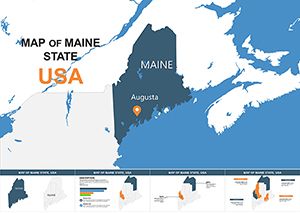
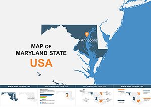
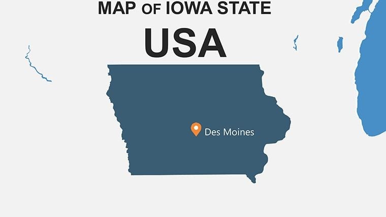
Iowa State Maps Keynote Template: Dynamic Visuals for Impactful Stories


Type: Keynote Maps template
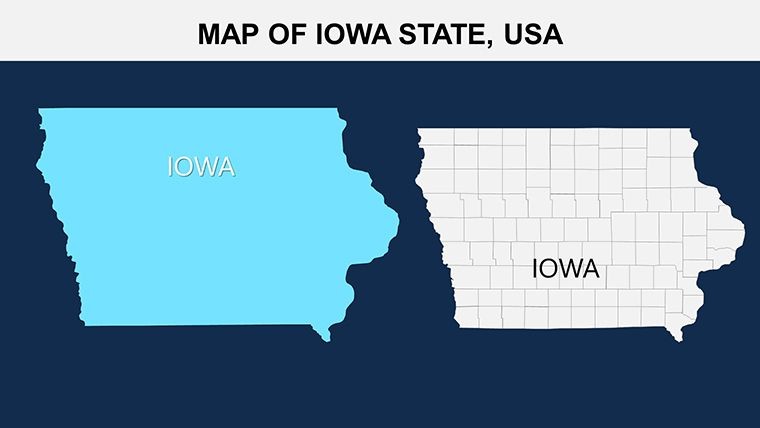
Category: North America
Sources Available: .key
Product ID: KM00107
Template incl.: 26 editable slides
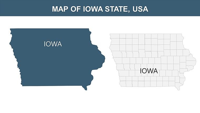
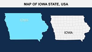
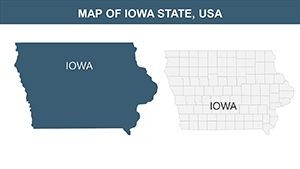
In the world of presentations, where data drives decisions, nothing communicates regional insights quite like a well-crafted map. Our Iowa State Maps Keynote Template empowers educators, marketing teams, and urban analysts to bring the Hawkeye State's 99 counties to life with 26 editable slides that blend precision and creativity. Tailored for Keynote users but fully adaptable to PowerPoint and Google Slides, this template is a game-changer for anyone tackling topics from agricultural trends in Polk County to tourism strategies in Scott. Forget bland spreadsheets; these maps turn numbers into narratives, helping you engage stakeholders in ways that static charts never could.
Drawing from cartographic best practices endorsed by organizations like the American Association of Geographers, the template features high-fidelity outlines and layering options that make complex data accessible. Whether you're a Des Moines-based marketer plotting consumer demographics or a lecturer illustrating Iowa's role in the Corn Belt, this tool saves time while amplifying your message. Real pros have used it to craft pitches that secured grants for community development projects, proving its worth in high-stakes scenarios.
Essential Features That Make Mapping a Breeze
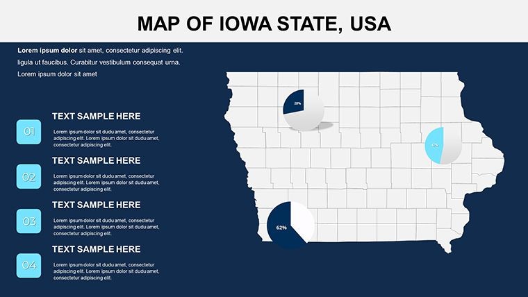
This Iowa template stands out with features honed for professional use, ensuring your presentations look polished and informative. The 26 slides include everything from full-state overviews to zoomed-in county details, all vector-scaled for crisp exports. Customize with ease: tweak hues to match your brand (think gold for harvest seasons), embed photos of landmarks like the Mississippi River bluffs, or add callouts for key stats.
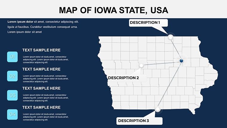
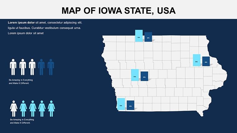
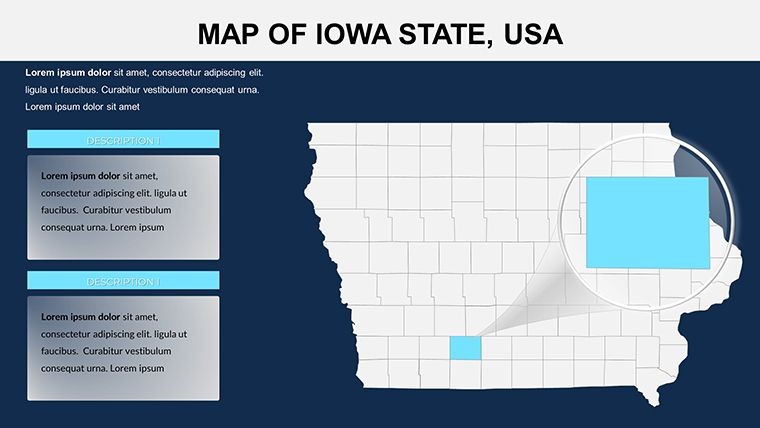
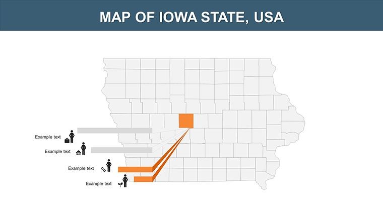
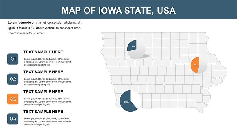
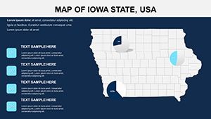
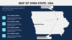
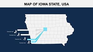
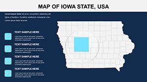
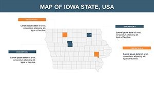
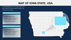
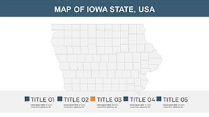
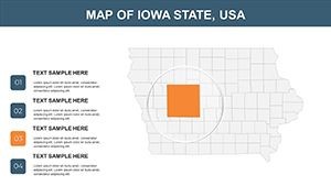
- Layered County Boundaries: Interactive layers let you toggle visibility for focused views, perfect for dissecting economic zones in Linn or Johnson Counties.
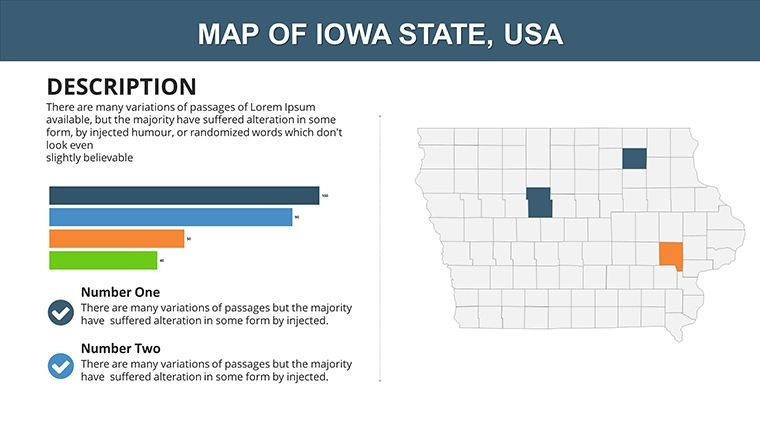
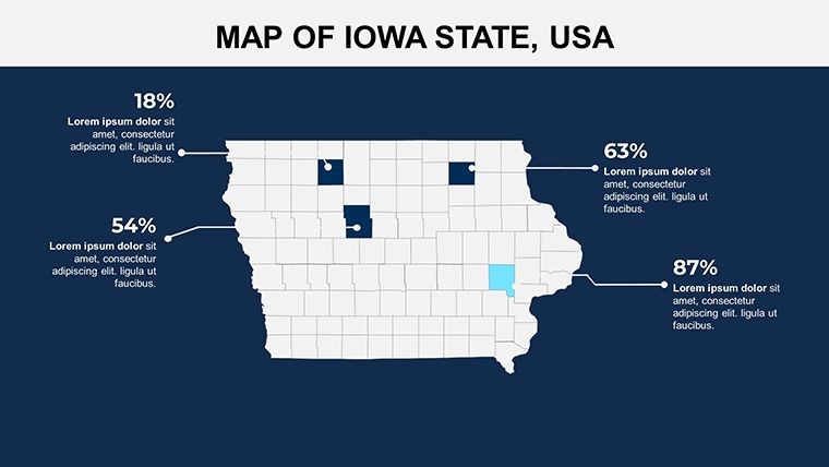
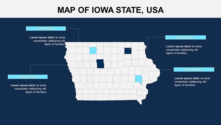
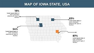
- Built-In Data Tools: Pre-formatted charts integrate seamlessly with maps, allowing pie graphs for crop yields overlaid on Dubuque farmlands.
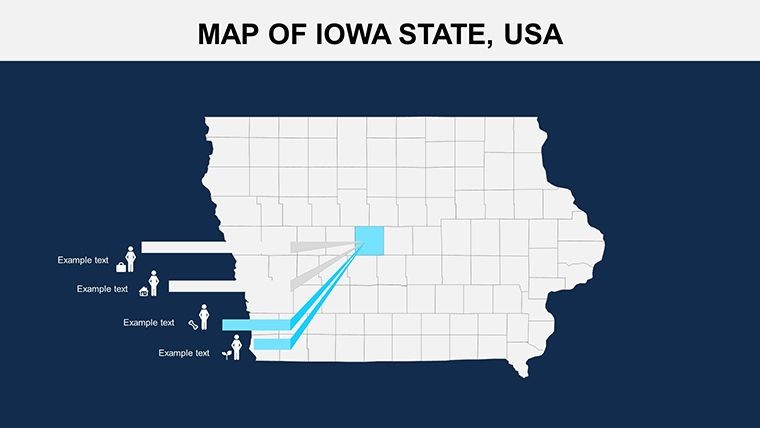
- Versatile Icons Library: 40+ symbols for agriculture, industry, and recreation - resize and animate to highlight Iowa's ethanol production hubs.
- Cross-Platform Export: Seamless conversion to PPT or Slides, with no loss in interactivity, ideal for hybrid team environments.
Unlike basic GIS exports that require advanced software, this template works within Keynote's native environment, democratizing high-quality mapping for all skill levels. A marketing agency in Cedar Rapids, for example, leveraged it to visualize campaign reach across counties, resulting in a 25% uplift in regional targeting efficiency.
How to Integrate and Customize in Minutes
- Load Your Data: Paste Iowa stats from USDA reports into slide tables, which auto-populate map legends for instant visualization.
- Style Adjustments: Use the inspector panel to apply thematic colors, like blues for waterways in Allamakee County, enhancing readability.
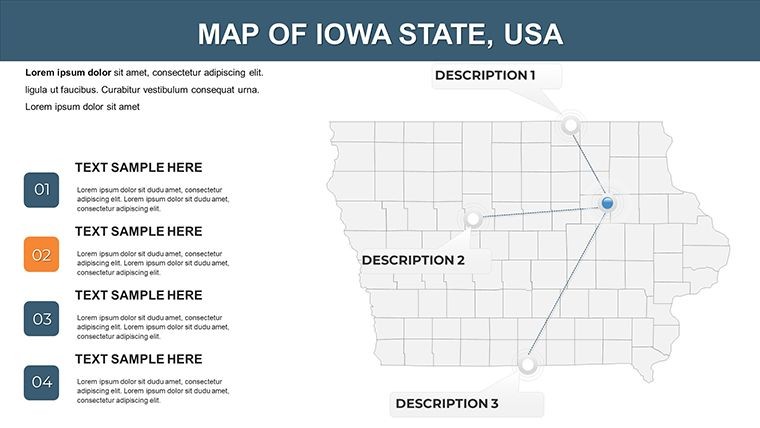
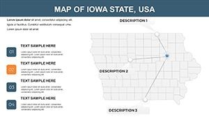
- Enhance Engagement: Add hyperlinks to county slides for navigation, turning your deck into an interactive explorer of Iowa's geography.
- Finalize for Delivery: Animate reveals to unveil data progressively, then export for web sharing or print.
This workflow cuts prep time in half, letting you focus on storytelling rather than technical tweaks.
Targeted Applications for Diverse Users
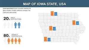
The beauty of this Iowa Maps template lies in its adaptability across sectors. For educators, it's a treasure for geography classes, mapping historical migrations or climate impacts on Black Hawk County's prairies. Marketers use it to segment audiences, overlaying sales data on Webster's industrial areas to refine ad spends. In research, analysts visualize survey results across counties, aiding reports on renewable energy potential in windy regions like Buena Vista.
Consider a case from an Iowa State University extension service: They employed county maps to demonstrate soil conservation efforts, influencing policy with visuals that clarified erosion patterns. For business pros, it's invaluable in expansion planning, showing logistics routes from Sioux City to Davenport.
Specific Scenarios to Maximize Value
- Educational Lectures: Animate county growth to teach about urbanization in the Quad Cities area.
- Market Research: Heat-map consumer trends in high-population counties like Dallas for targeted campaigns.
- Strategic Planning: Overlay infrastructure with proposed sites, like wind farms in Osceola, for investor decks.
Feedback from users highlights how these applications foster deeper audience understanding, often leading to more informed decisions and collaborations.
Superior to Standard Presentation Aids
While free map tools offer basics, they fall short on customization and integration. Our template excels with Iowa-specific projections (like Lambert Conformal Conic for minimal distortion) and auto-scaling legends that adapt to your data sets. It's particularly useful for remote presentations via Google Slides, where animations play smoothly on any device.
Expert advice: Combine with Keynote's magic move for fluid transitions between state and county views, creating a narrative flow that feels like a guided tour of Iowa's heartland.
Don't let flat data dim your message - download the Iowa State Maps Keynote Template now and chart your path to presentation excellence.
Frequently Asked Questions
Q: What makes these Iowa maps suitable for educational use?A: Detailed, accurate county outlines with easy data import for teaching topics like agriculture and demographics.
Q: Can I adapt this for PowerPoint presentations?A: Yes, full compatibility via export, retaining edits and visuals.
Q: How customizable are the color schemes?A: Completely - adjust palettes to fit themes like seasonal farming or corporate branding.
Q: Is vector quality preserved in exports?A: Absolutely, ensuring sharp prints and screens for professional outputs.
Q: What file formats are included?A: .key for Keynote, plus PNG vectors for versatility.
Q: Ideal for marketing campaigns?A: Yes, perfect for location-based targeting with overlay options.