Delaware Counties Keynote Map Template


Type: Keynote Maps template
Category: North America
Sources Available: .key
Slide size: widescreen (16:9)
Product ID: KM00100
Template incl.: 18 editable slides
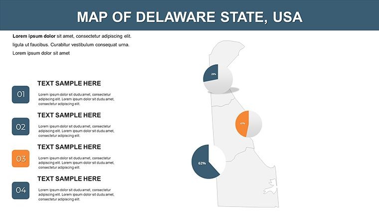
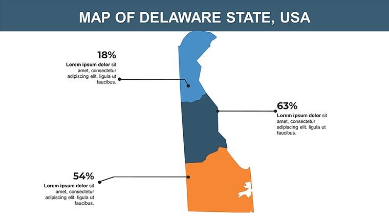
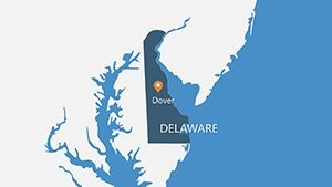
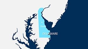
Delaware, the First State, holds a pivotal place in American history and commerce, from its early ratification of the Constitution to its status as a corporate haven. Our Delaware Counties Keynote Map Template brings this rich tapestry to your screen with 18 editable slides, perfect for delving into regional analyses, historical overviews, or economic forecasts. Aimed at presenters in education, finance, or local government, this $10 gem is fully compatible with Mac iWork Keynote, featuring widescreen (16:9) layouts and a zip packed with .key files, vector icons, and PNGs.
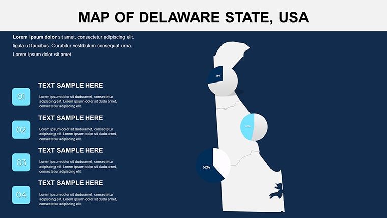
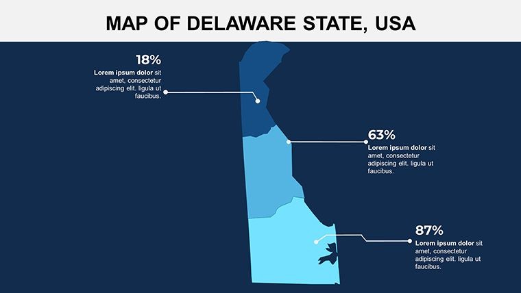
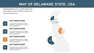
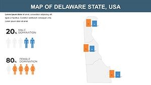
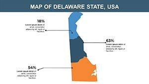
Go beyond flat diagrams - this template enables you to color-code counties like New Castle or Sussex for targeted insights, such as population trends or business incorporations. In a state where over 60% of Fortune 500 companies are registered, accurate visuals like these can underscore your expertise. Inspired by applications in Wilmington boardrooms, it transforms static geography into dynamic stories.
Core Features for State-Level Precision
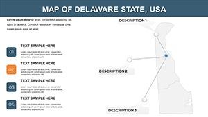
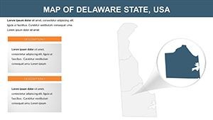
With 18 slides at your disposal, customization is effortless: alter colors for thematic emphasis, update text for current stats, and insert photos of landmarks like Dover's capitol. Animation options let you spotlight counties progressively, enhancing narrative flow.
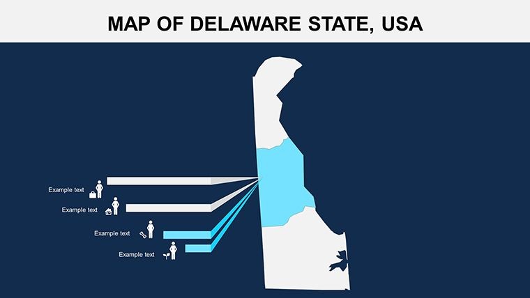
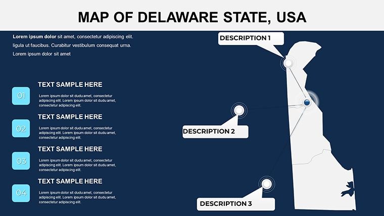
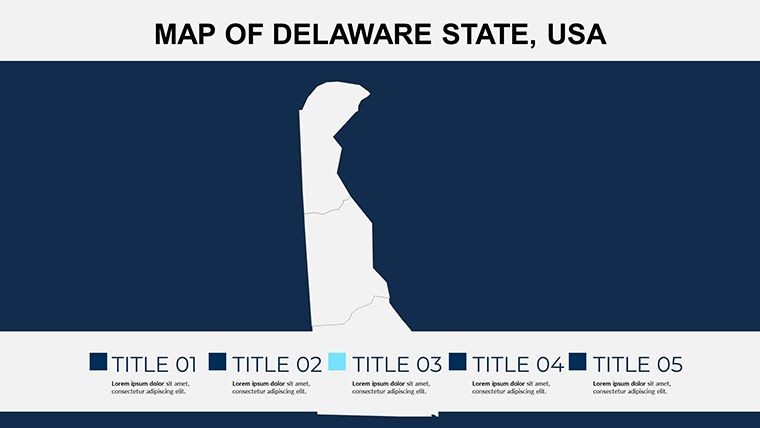
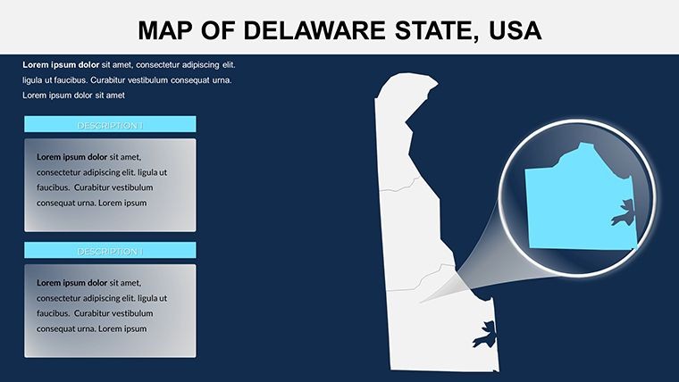
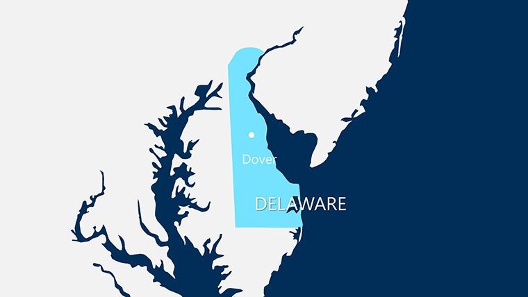
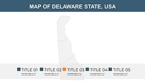
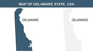
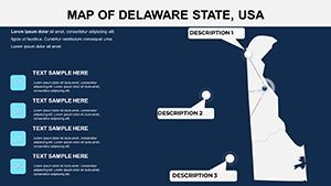
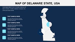
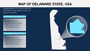
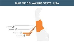
- County-Specific Detailing: Each slide zooms into boundaries, cities, and waterways for granular views.
- Icon Library Inclusion: Vectors for historical markers, industries, and symbols, ready for scaling.
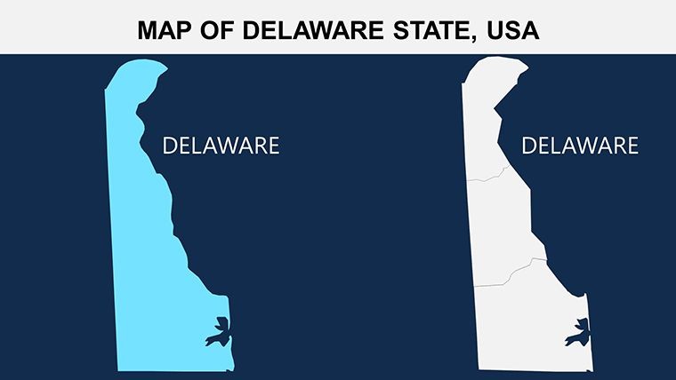
- Edit-Friendly Design: Change elements without disrupting layout, ideal for iterative revisions.
- Animation Integration: Pre-set for Keynote effects like wipes across the Delaware Bay.
Drawing from design principles used in U.S. regional reports, this outpaces generic templates in historical accuracy and visual appeal.
Practical Applications: From History to Hub Strategies
Historians use slide 6 to map the state's founding journey, animating the 1787 signing path, as seen in Smithsonian-inspired lectures that boosted attendance. Business analysts at firms like DuPont employ slide 10 for corporate density visuals, aiding merger pitches with data overlays from Census reports.
For educators, it's a tool for civics classes, where editable labels clarify governance structures. A Delaware high school teacher shared how it made Constitution Day engaging, increasing participation. In real estate, visualize development zones across Kent County, aligning with state planning docs.
Customizing Your Delaware Presentation
- Load Base Map: Select a slide and input county data like demographics.
- Theme Adjustments: Use patriotic colors for historical talks or corporate blues for finance.
- Enhance with Motion: Add builds to reveal economic hubs sequentially.
- Export Options: Save as interactive PDF for client reviews.
This method, echoed in professional workflows from D.C. think tanks, guarantees polished results.
Better Than Basic U.S. Map Alternatives
Standard tools often overlook state nuances; this template's focus on Delaware ensures relevance. Users rave: "Perfect for my legal briefings," notes a Dover attorney. It shines in scenarios like coastal erosion studies, providing trustworthy, editable maps grounded in geographic fidelity.
Discover Delaware's Story Visually
Elevate your content with this essential template. Grab it for $10 today and map out compelling narratives for the First State. Customize and captivate - your presentations deserve it.
Frequently Asked Questions
What makes this template unique to Delaware?
It details all three counties with historical and modern elements, tailored for state-specific presentations.
Can I use it in PowerPoint?
Yes, export from Keynote to PowerPoint while preserving most edits and animations.
Are there historical facts included?
The design incorporates contextual elements, but you can add your own for deeper narratives.
How editable are the county boundaries?
Fully vector-based, allowing resizing, coloring, and labeling without distortion.
Is it suitable for mobile presentations?
Optimized for widescreen, it scales well on tablets via Keynote apps.
What's in the download zip?
.key files, vector icons, and PNGs for versatile use.