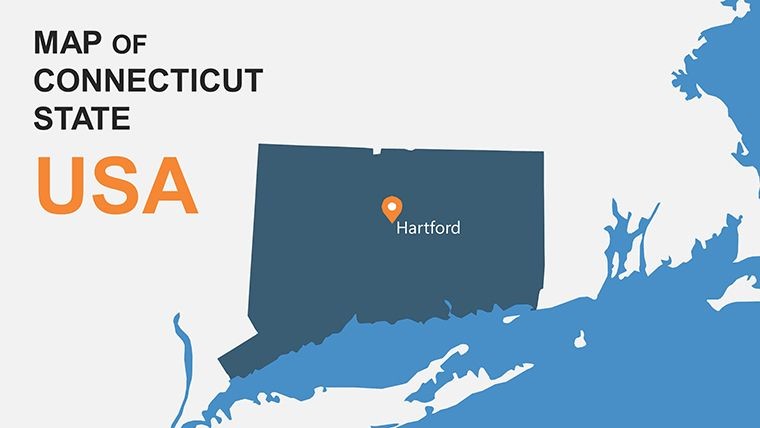
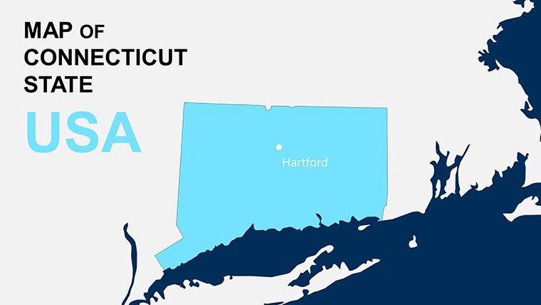
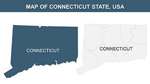
Connecticut Keynote Maps: Bridge Geography and Architectural Vision


Type: Keynote Maps template
Category: North America
Sources Available: .key
Product ID: KM00099
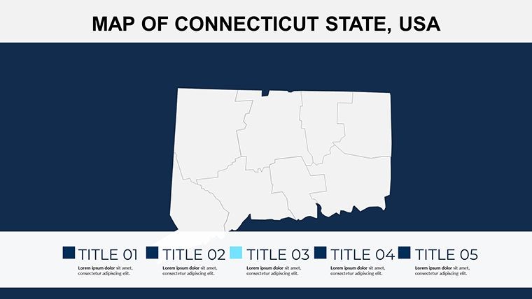
Template incl.: 26 editable slides
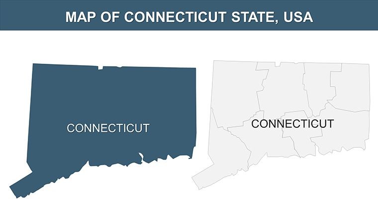
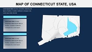
In the compact yet diverse landscape of Connecticut, where coastal elegance meets inland innovation, architects need tools that capture nuance without overwhelming complexity. Enter the Connecticut Keynote Maps template, boasting 26 editable slides that illuminate the Constitution State's contours for Keynote presentations. From New Haven's historic districts to Stamford's skyline ambitions, this template equips you to layer architectural concepts onto accurate regional maps, fostering discussions that drive project momentum in line with AIA's emphasis on contextual design.
Addressing the frustration of fragmented visuals in proposals, it offers a cohesive platform for integrating city-specific data, like waterfront developments in Bridgeport or green spaces in Hartford. Compatible with Keynote's robust features, it ensures your maps are as dynamic as your ideas, transforming static geography into interactive stories that engage planners, clients, and regulators alike.
Essential Features for Tailored Mapping
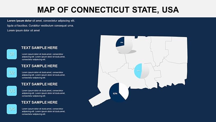
This template excels in blending simplicity with sophistication, providing elements that adapt to the intricacies of New England architecture, from colonial revivals to contemporary high-rises.
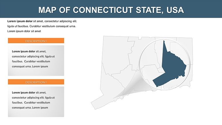
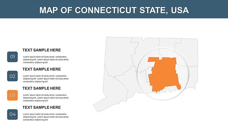
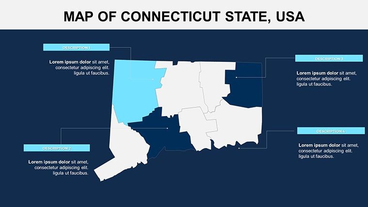
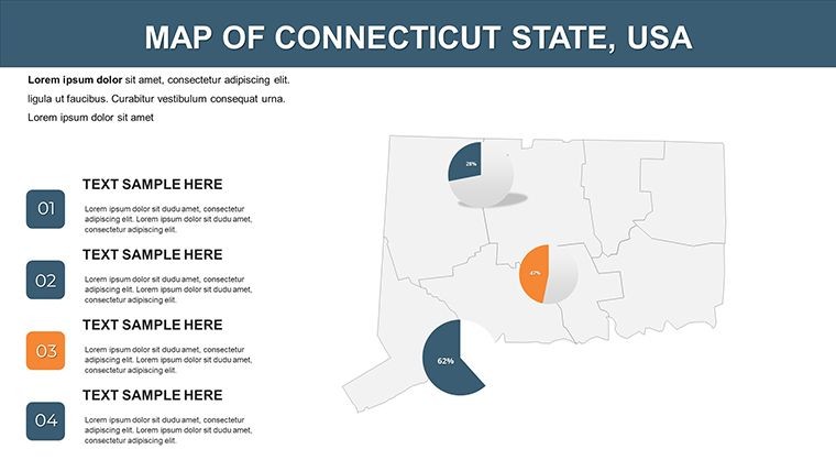
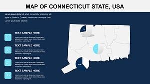
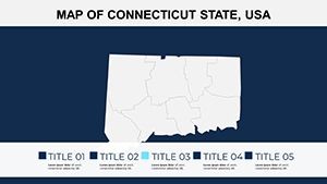
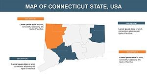
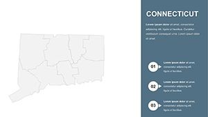
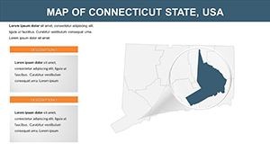
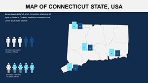
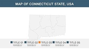
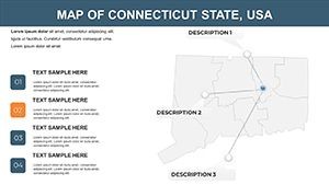
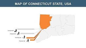
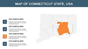
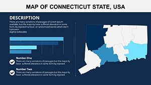
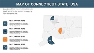
- 26 Comprehensive Slides: Full state panoramas down to city vignettes, with space for annotations on zoning or heritage sites in Fairfield County.
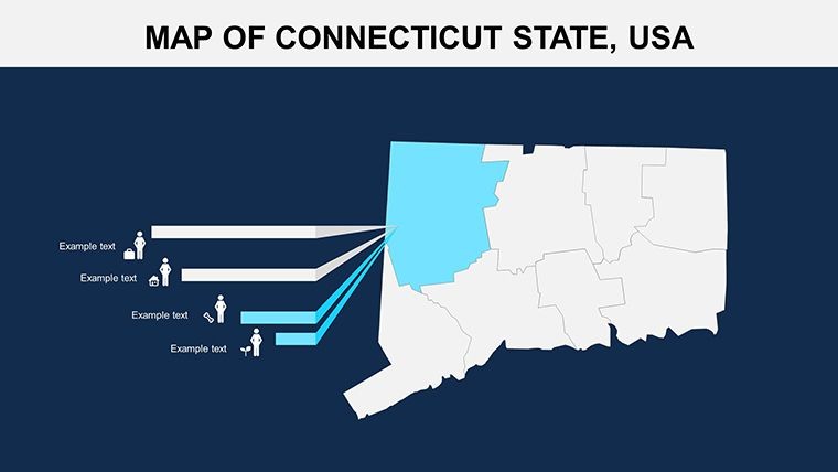
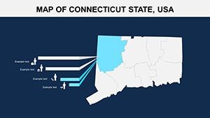
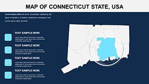
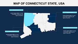
- Customization Depth: Modify colors for seasonal motifs - nautical blues for shores, autumnal hues for Litchfield hills - and add highlights for key areas.
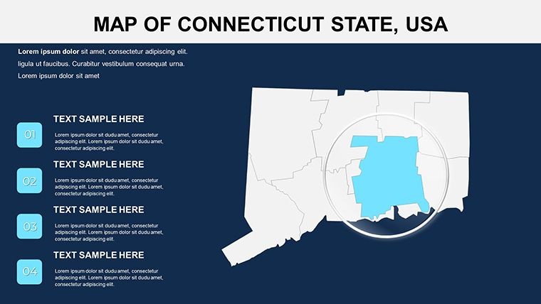
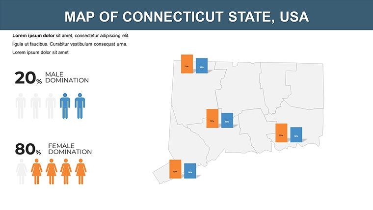
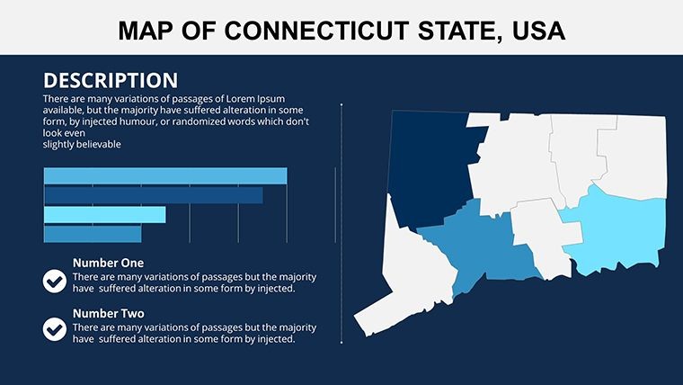
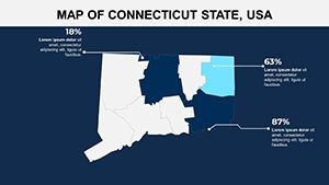
- Clear Visual Hierarchy: Boundaries and labels optimized for readability, supporting dense data like traffic patterns in urban cores.
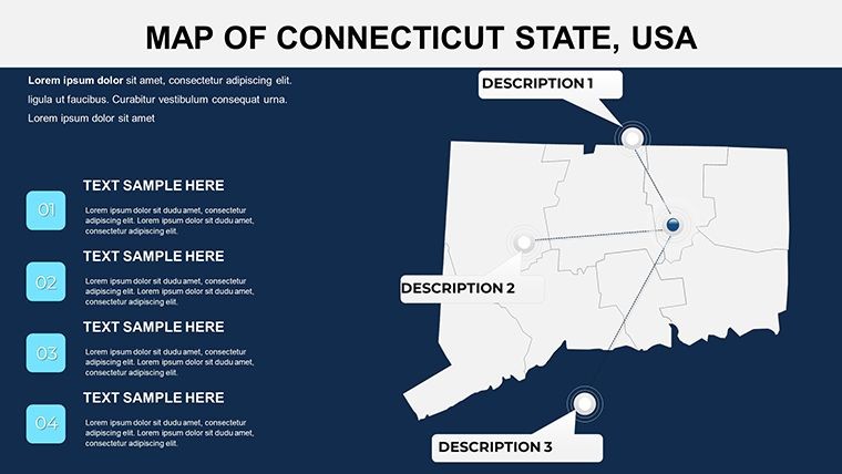
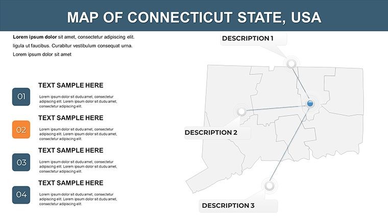
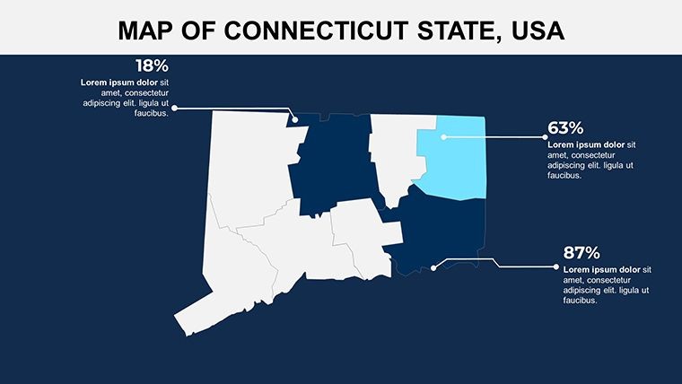
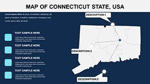
- Scalable Annotations: Easily insert notes or icons for architectural elements, such as fenestration studies or material palettes.
Outshining rudimentary sketches, it leverages Keynote's precision for outputs that rival professional GIS renders, ideal for multi-stakeholder reviews.
Innovative Use Cases: From Coast to Countryside
Envision a Yale-affiliated architect using these maps to propose adaptive reuse in New London's waterfront - the slides facilitate overlays of tidal data with renovated warehouse visuals, echoing triumphs like the 2021 Mystic Seaport expansions. In commercial realms, firms in Norwalk could chart expansion strategies across the Gold Coast, using city breakdowns to underscore market viability.
For academic pursuits, Connecticut College educators might illustrate regional modernism, mapping influences from Frank Lloyd Wright-inspired homes in the Quiet Corner. A notable instance: In 2023's Northeast Sustainable Design Forum, teams visualized flood-resilient communities in Middlesex County, employing layered maps to advocate for elevated structures - this template delivers comparable clarity and persuasion.
Streamlined Integration Steps
- Quick Onboarding: Import the .key file and sync with your template library for instant reuse.
- Content Layering: Populate with demographic or environmental stats for Tolland County's rural developments.
- Refinement Touches: Apply transparency to highlight overlaps, like park integrations in suburban plans.
- Export Excellence: Animate zooms for city tours, then share in formats suited for virtual or in-person critiques.
Design insight: Utilize the template's grids for aligning with BIM exports, ensuring maps complement your 3D models seamlessly.
Why This Template Transforms Architectural Discourse
At its heart, it empowers expertise by condensing research into visuals that resonate - saving hours while amplifying authority. In Connecticut's competitive scene, where context is king, it positions your work as thoughtful and informed.
Think of a boutique studio in Westport that mapped luxury eco-homes along the Saugatuck River, captivating investors with annotated city slides that projected ROI. Your visions merit that level of articulation.
FAQ: Navigating Connecticut Keynote Maps
Q: How suitable is this for coastal architecture projects?A: Perfectly - slides allow tidal and elevation overlays, essential for resilient designs in areas like Shoreline towns.
Q: What editing flexibility does it offer?A: Extensive, from color shifts to icon additions, all via Keynote's native controls for quick iterations.
Q: Does it cover all Connecticut cities?A: Yes, with detailed regional slides for urban centers like Waterbury or rural spots in Windham County.
Q: Can animations enhance city-specific views?A: Indeed, customizable builds reveal details progressively, ideal for phased development narratives.
Q: Is it adaptable for educational architecture talks?A: Tailored for it, supporting lectures on local precedents with clear, annotatable maps.
Q: How does it ensure data accuracy?A: Based on verified sources, with editable fields to update for current planning needs.
Connect your ideas to the land - download the Connecticut Keynote Maps template today and build bridges to brilliance.