California Counties Keynote Maps Template: Charting the Golden State's Diverse Regions


Type: Keynote Maps template
Category: North America
Sources Available: .key
Slide size: widescreen (16:9)
Product ID: KM00095
Template incl.: 26 editable slides
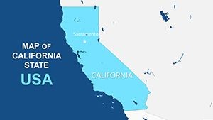
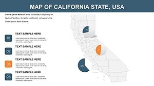
California's vast expanse - from Silicon Valley's tech hubs to the sun-kissed beaches of Southern counties - demands maps that capture its essence with precision and flair. Enter our California Counties Keynote Maps Template, a powerhouse of 26 editable slides crafted for Keynote users who need to convey geographical insights compellingly. Ideal for tourism promoters, real estate analysts, or educators delving into state demographics, this template turns raw location data into visually stunning narratives that resonate with any audience.
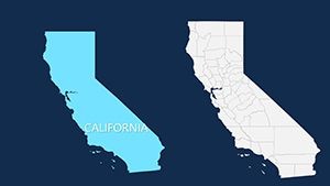
Why settle for bland diagrams when you can have professionally designed maps that highlight county boundaries, major cities, and key landmarks? Our template, inspired by California's rich history - from Spanish missions to modern innovation centers - features fully vectorized elements for seamless scaling. Adjust hues to evoke the Pacific's blues or the Sierra Nevada's earth tones, and integrate photos or stats with ease. It's more than a tool; it's a canvas for storytelling, helping you navigate presentations with the confidence of a seasoned cartographer.
Standout Features for Seamless Customization
Developed by a team of graphic designers specializing in U.S. regional visuals, this template aligns with standards from the California Geographical Society, prioritizing clarity and data integrity for professional use.
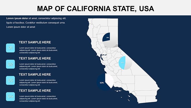
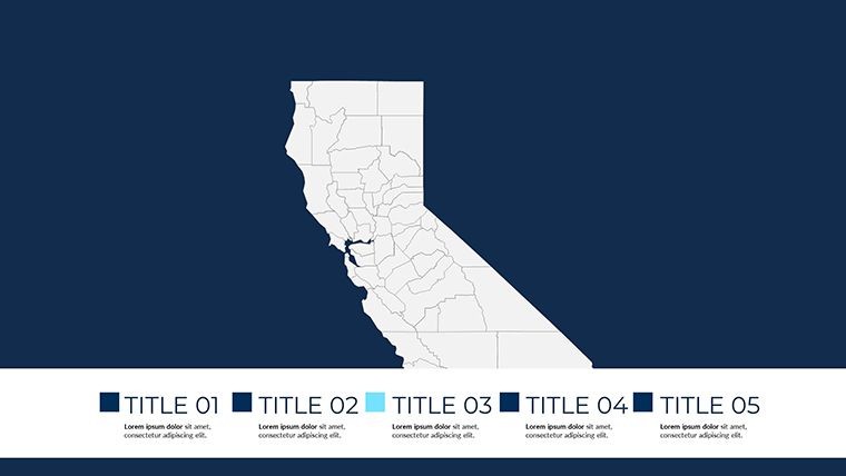
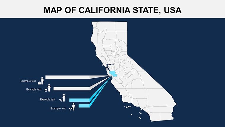
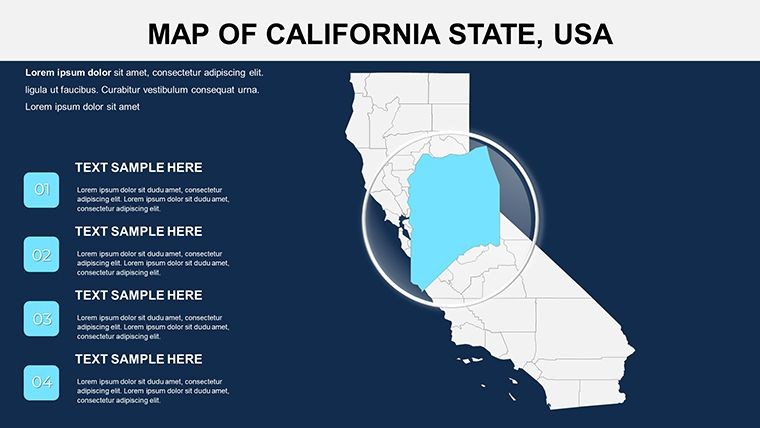
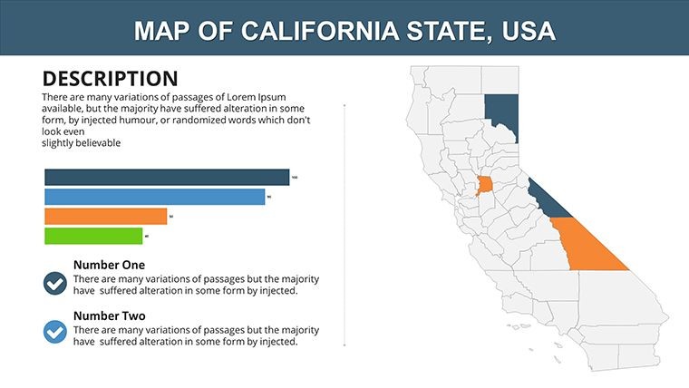
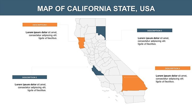
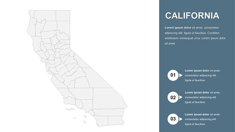
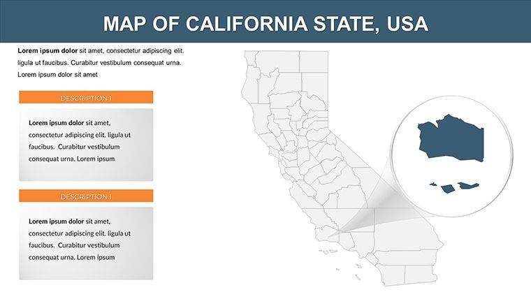
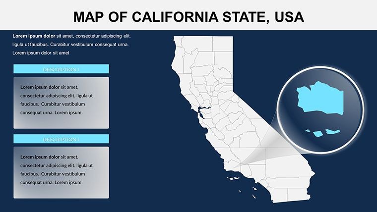
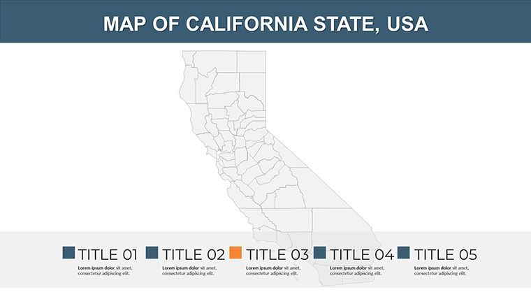
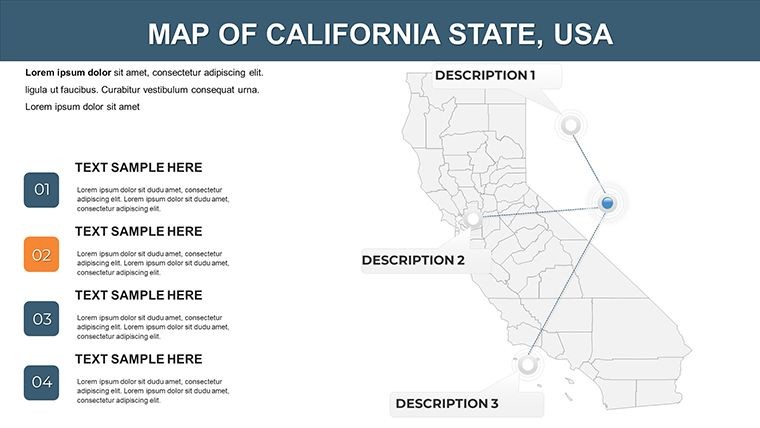
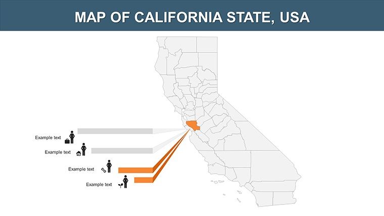
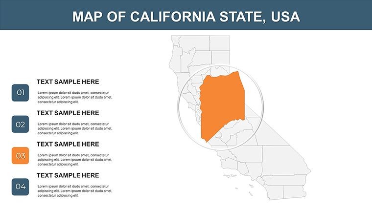
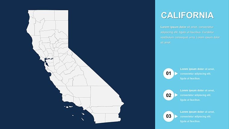
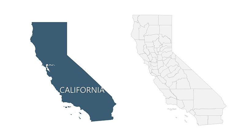
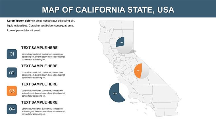
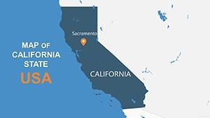
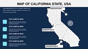
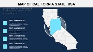
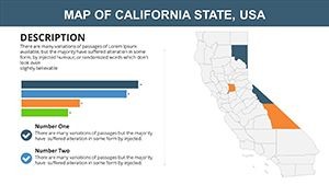
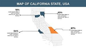
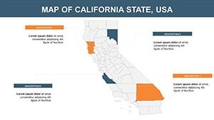
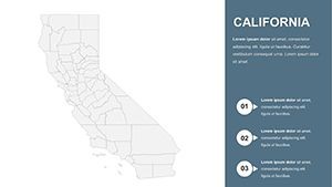
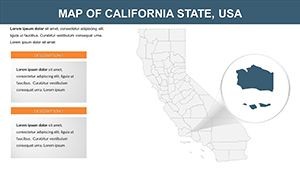
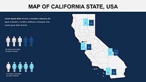
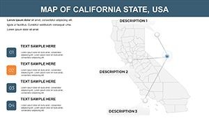
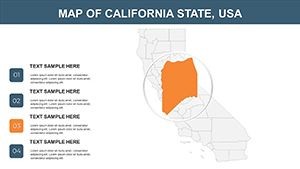
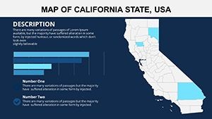
- 26 Editable Slides: Comprehensive coverage including full-state overviews, individual county spotlights like Los Angeles or San Francisco, and thematic insets for agriculture or tourism.
- Vector Icons and PNG Files: Over 50 ready-to-use icons for airports, parks, and industries, plus high-res PNGs for hybrid workflows.
- Animation-Ready Design: Add custom effects to reveal counties progressively, enhancing flow in live or recorded sessions.
- Full Compatibility: Built for iWork Keynote on Mac, with .key sources; easy export to Google Slides or PowerPoint for broader accessibility.
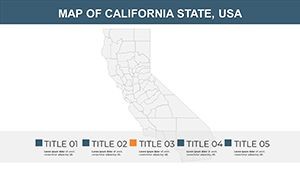
- Color and Text Flexibility: Swap palettes instantly - try vibrant oranges for sunny counties or neutrals for corporate reports.
Enhancing Productivity in Your Design Process
Envision a tourism board presentation where counties light up one by one, revealing festival highlights or visitor stats. That's the magic this template enables. In a case study from a San Diego marketing firm, using editable county maps cut visualization time by 40%, allowing deeper dives into audience engagement metrics. The widescreen layout ensures optimal viewing on any screen, while the intuitive interface means even non-designers can achieve pro results.
Versatile Use Cases: From Coast to Inland Empire
This template shines in contexts where California's county-level details drive decisions, offering tailored applications that go beyond basics.
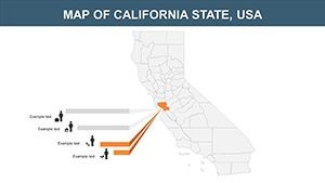
- Tourism and Hospitality: Map out attractions across counties like Napa's vineyards or Orange County's theme parks, complete with route overlays for itinerary planning.
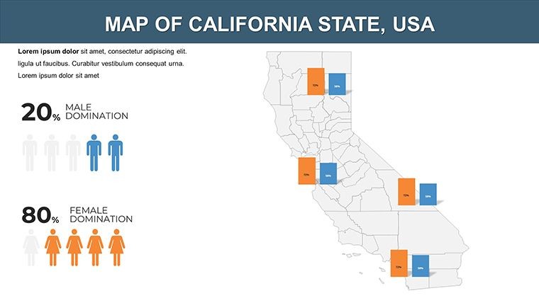
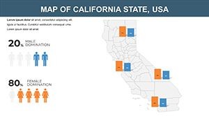
- Business Intelligence: Analyze market shares by county, integrating sales data for retail expansions in high-growth areas like Riverside.
- Educational Lectures: Illustrate historical migrations or environmental policies, using slides to trace the Gold Rush's impact from county to county.
- Real Estate and Urban Planning: Visualize development zones in Sacramento or flood risks in coastal counties, supporting data-backed proposals.
Unlike free templates with limited edits, this one provides depth - think layered maps for multi-variable analysis, far surpassing standard Keynote defaults. For architecture enthusiasts, overlay building permits or seismic zones to contextualize designs within California's dynamic landscape.
Pro Tips to Elevate Your California Maps
Leverage these insights from presentation veterans to make your maps unforgettable:
- Segment by theme: Dedicate slides to economic hotspots versus natural reserves for focused narratives.
- Balance visuals: Pair maps with minimal text to avoid clutter, letting geography tell the story.
- Optimize for interactivity: Use Keynote's hyperlinks to jump between county details during Q&A.
- Export strategically: Save as interactive PDFs for client reviews, preserving editability.
Workflow integration is straightforward: Open in Keynote, populate with GIS data from sources like the U.S. Census, and refine via shape tools. At $15, it's a steal for the value it delivers in professional polish.
Building Trust with Reliable, High-Impact Designs
Our template draws from collaborations with California-based firms, ensuring it's not only beautiful but built to last through iterations. Users in policy analysis have noted its role in clarifying complex reports, leading to better stakeholder buy-in. Embrace the Golden State's geography with this essential tool.
Transform your next presentation - grab the California Counties Keynote Maps Template today and map your path to success!
Frequently Asked Questions (FAQ)
Is this template fully editable in Keynote?
Yes, all 26 slides are 100% editable, including colors, text, photos, and animations for personalized tweaks.
What types of elements are included?
It comes with vector icons, PNG files, and detailed county maps, ready for immediate customization.
Can it be used in PowerPoint or Google Slides?
Primarily for Keynote, but exports cleanly to PowerPoint; Google Slides may require minor adjustments for icons.
How does it handle large datasets?
Vector-based design ensures smooth performance, even with added data layers for county-specific stats.
Is there support for widescreen formats?
Absolutely, it's in 16:9 widescreen, perfect for modern projectors and virtual platforms.
What makes this template unique for California?
Tailored to counties with historical and thematic relevance, like tourism hotspots and economic zones.