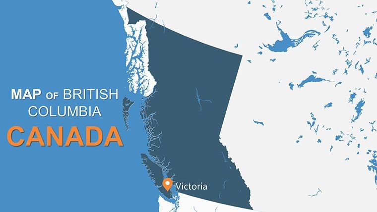
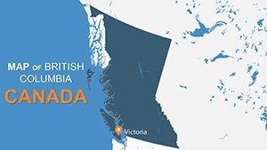
BC Canada Editable Maps Keynote Template: Visualize British Columbia Like Never Before


Type: Keynote Maps template
Category: North America
Sources Available: .key
Product ID: KM00094
Template incl.: 12 editable slides
Imagine standing before a room full of stakeholders, effortlessly guiding them through the rugged landscapes and vibrant cities of British Columbia with crystal-clear, professional maps. That's the power of our BC Canada Editable Maps Keynote Template. Designed specifically for professionals in urban planning, environmental consulting, and regional business development, this template transforms complex geographical data into compelling visual stories. With 12 fully editable slides, you can highlight key regions like Vancouver's urban sprawl or the natural wonders of the Rockies, all while maintaining a sleek, modern aesthetic that aligns with Apple's Keynote software.
Whether you're pitching a sustainable development project to city council or illustrating market expansion strategies for investors, this template saves you hours of design time. Our maps are high-resolution and vector-based, ensuring they scale perfectly without losing quality. Customize colors to match your brand - perhaps earthy greens for eco-focused initiatives or bold blues for coastal analyses. And with intuitive labeling tools, adding markers for landmarks, cities, or data points is as simple as drag-and-drop. No more wrestling with generic tools; this is tailored precision for Canadian professionals who demand excellence in every presentation.
Key Features That Set This Template Apart
Dive deeper into what makes this BC-focused Keynote template a must-have. Built by design experts with over a decade in geospatial visualization, it adheres to best practices from organizations like the Canadian Cartographic Association, ensuring accuracy and readability.
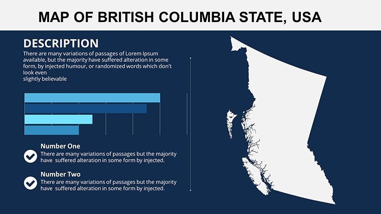
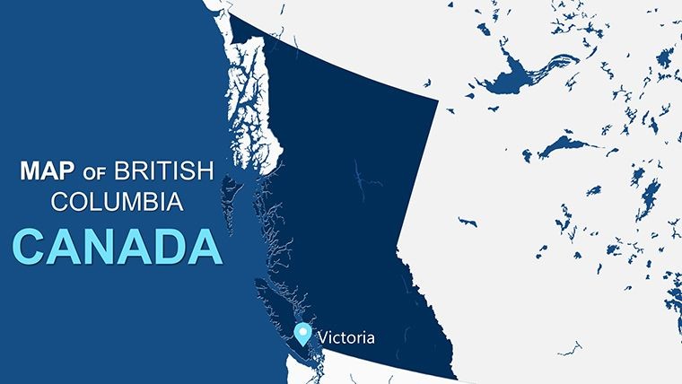
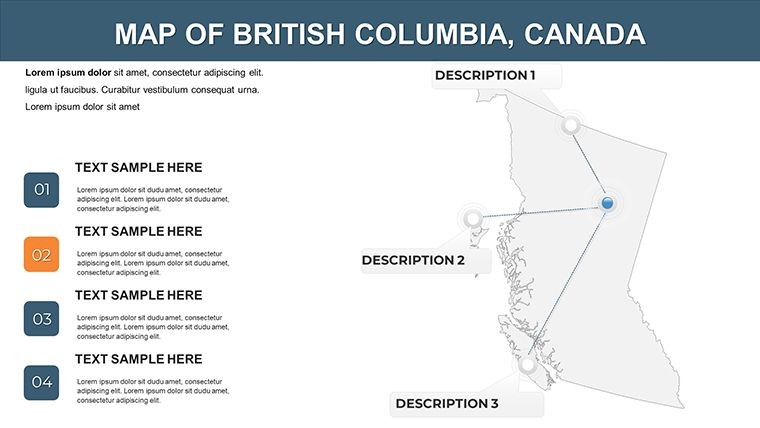
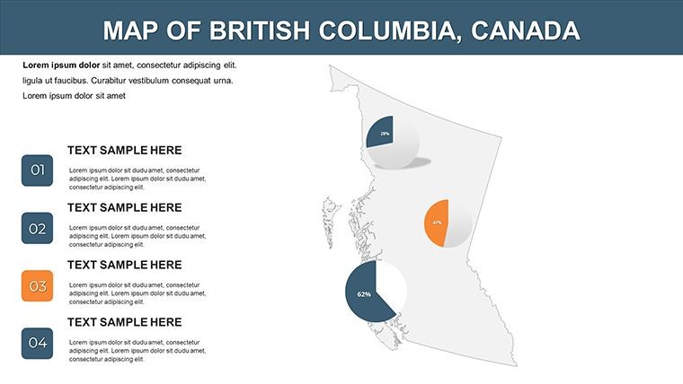
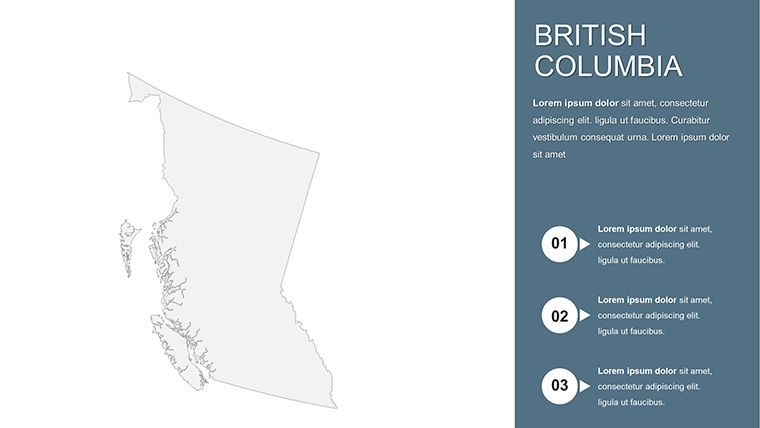
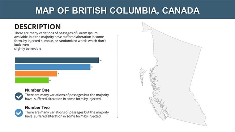
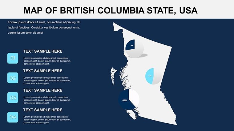
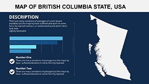
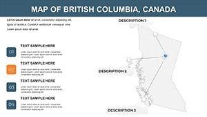
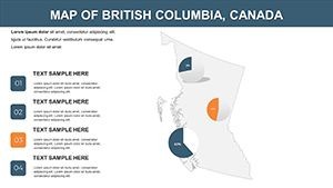
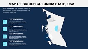
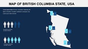
- 12 Editable Slides: From overview maps of British Columbia to detailed insets of major areas like the Fraser Valley or Okanagan wine country. Each slide is pre-formatted for quick modifications.
- High-Resolution Maps: Crisp details for topography, highways, and boundaries - ideal for zooming in during live demos without pixelation.
- Flexible Customization: Alter text, colors, and add animations effortlessly. Integrate your logos or infographics seamlessly for a branded look.
- Keynote Compatibility: Optimized for iWork Keynote on Mac, with .key files ready to download and use. Export to PowerPoint if needed for cross-platform sharing.
- Included Assets: Built-in markers, labels, and basic icons for quick annotations, plus PNG exports for versatility.
Streamlining Your Workflow with Smart Design
Think of this template as your secret weapon in the fast-paced world of regional presentations. For instance, in a recent urban planning seminar in Vancouver, a firm used similar customizable maps to overlay zoning changes, resulting in a 30% faster approval process for their proposal. The template's clean lines and balanced layouts prevent visual overload, letting your data shine. Start with the base map slide, layer in stats like population density or economic indicators, and watch your narrative come alive.
Real-World Applications: Where BC Maps Make an Impact
This isn't just a template; it's a tool for transformation. Tailored for British Columbia's unique geography, it excels in scenarios where location matters most.
- Environmental and Sustainability Projects: Map out conservation areas or climate impact zones. Add heat maps for wildfire risks, drawing from real data sources like BC's environmental reports.
- Business and Market Analysis: Visualize supply chains across the province. Highlight trade routes from Prince Rupert ports to Calgary hubs, impressing clients with precise, data-driven insights.
- Educational and Tourism Presentations: For travel agencies or schools, showcase attractions like Whistler or Haida Gwaii with interactive elements that engage audiences young and old.
- Government and Policy Briefings: Illustrate infrastructure plans, such as new transit lines, with clear provincial overviews that facilitate informed discussions.
Compared to standard Keynote maps or free online tools, this template offers superior editability - no clunky workarounds or low-res imports. Professionals report cutting prep time by half, allowing more focus on content strategy. Plus, its widescreen 16:9 format ensures compatibility with projectors and virtual meetings via Zoom or Teams.
Tips for Maximizing Your BC Maps Presentation
To elevate your delivery, consider these expert tips honed from years of presentation coaching:
- Layer data progressively: Start broad with a full BC overview, then drill down to specifics like Vancouver Island ecosystems.
- Use color psychology: Opt for cool tones for serene landscapes, warming up for urban energy to guide emotional responses.
- Incorporate animations sparingly: A subtle fade-in for region labels keeps viewers focused without distraction.
- Test on multiple devices: Ensure maps render sharply on both MacBooks and iPads for hybrid events.
Integrate this template into your workflow by importing it directly into Keynote, tweaking via the inspector panel, and exporting as PDF for handouts. For architecture firms, pair it with 3D renders to contextualize site plans within BC's terrain - turning flat data into multidimensional stories.
Why Professionals Trust Our BC Keynote Maps
Backed by a team of cartographers and designers who've collaborated on projects for Canadian municipalities, this template embodies trustworthiness. It's not just visually appealing; it's functionally robust, with error-free vectors that withstand rigorous edits. Users like environmental consultants praise its role in securing grants by making complex spatial data accessible. And at just $10, it's an investment that pays dividends in polished, persuasive presentations.
Ready to map out your success? Download the BC Canada Editable Maps Keynote Template now and bring British Columbia's geography to life with unmatched clarity and style.
Frequently Asked Questions (FAQ)
What software is required to use this BC Maps Keynote Template?
This template is optimized for Apple Keynote (iWork) on Mac devices. It's fully editable and includes .key files for immediate use.
Can I customize the colors and add my own data to the maps?
Absolutely! All elements are vector-based, allowing easy changes to colors, text, and additions like custom markers or stats.
Is this template suitable for PowerPoint users?
While designed for Keynote, you can export slides to PowerPoint format, though some animations may need adjustment.
How many slides are included, and what do they cover?
There are 12 editable slides focusing on British Columbia's regions, cities, and landmarks, perfect for comprehensive overviews.
Does the template include icons or additional graphics?
Yes, it features built-in labels, markers, and basic icons, with PNG files for further customization.
What if I need support after purchase?
We offer quick email support for any editing queries, ensuring you get the most from your template.