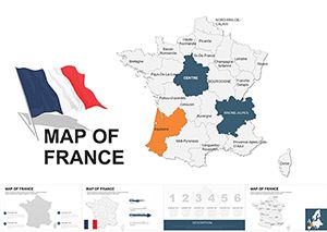
France Maps Keynote Template: Chart Economic and Cultural Landscapes


Type: Keynote Maps template
Category: Europe
Sources Available: .key
Product ID: KM00085
Template incl.: 48 editable slides
France, with its blend of historic charm and modern innovation, demands presentations that capture its essence - from the vineyards of Bordeaux to the tech corridors of Paris. Our France Maps Keynote Template offers 48 editable slides to do just that, empowering business leaders, educators, and architects to showcase economic developments, company locations, and optimal routes with sophistication. Whether plotting a new retail chain or analyzing urban growth, this template turns geographical data into persuasive visuals that inform and inspire.
Inspired by practices from firms like Ateliers Jean Nouvel, who integrate mapping for award-winning projects, this tool adheres to European design norms, ensuring your slides reflect professionalism. It's perfect for highlighting nearest cities, enterprise hubs, or travel paths, making complex info accessible and engaging for any audience.
Essential Features for French-Focused Presentations
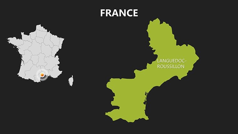
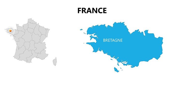
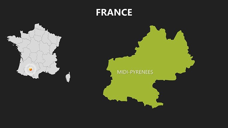
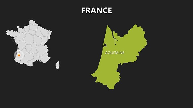
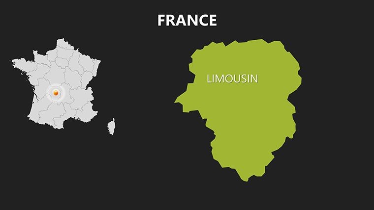
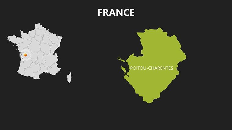
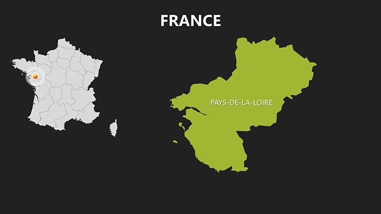
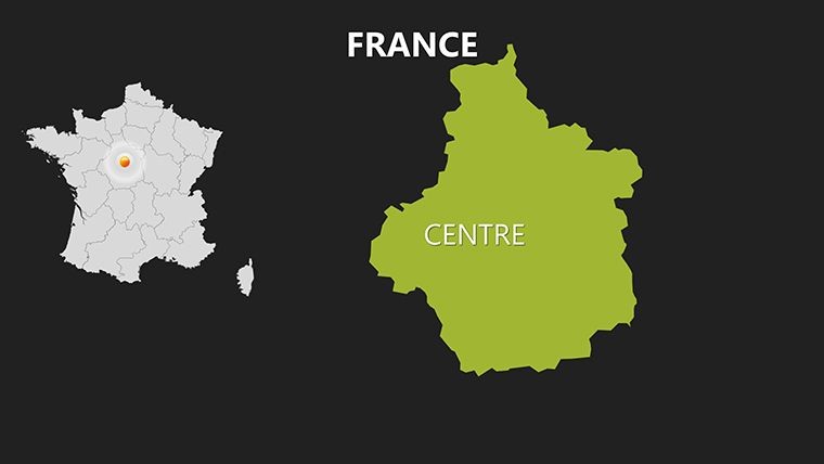
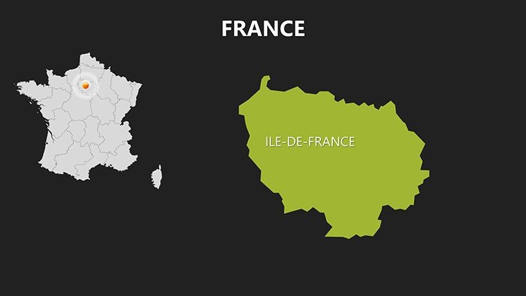
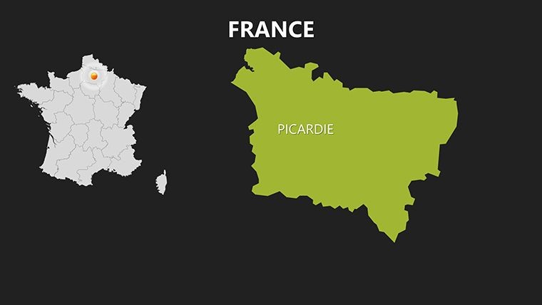
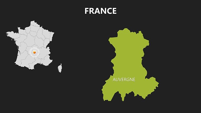
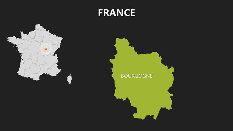
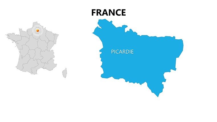
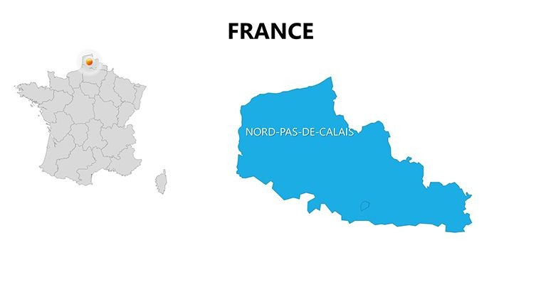
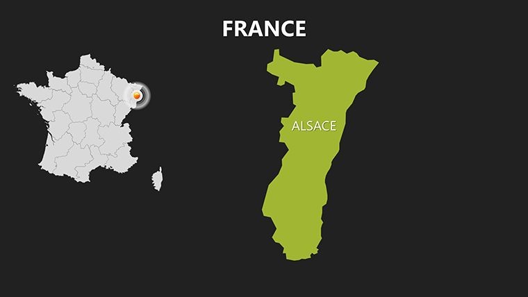
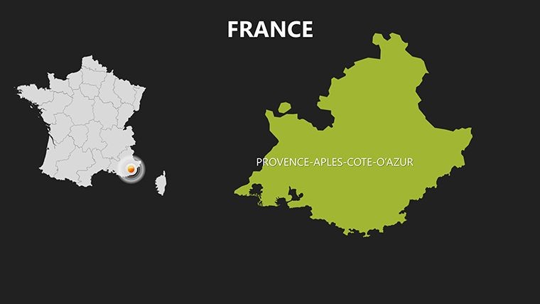
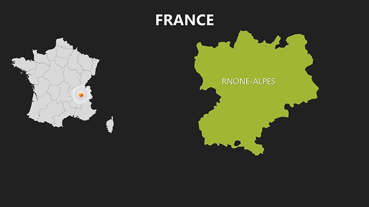
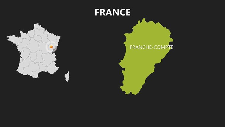
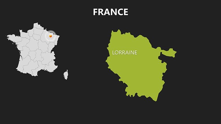
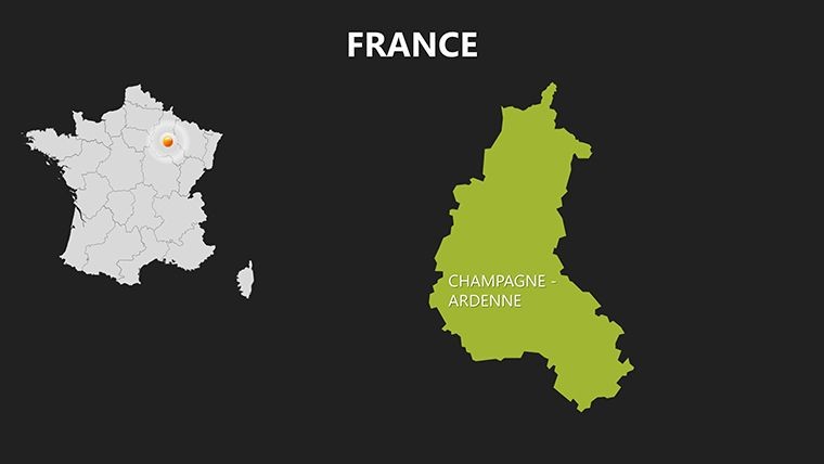
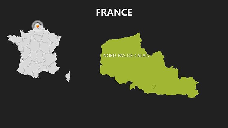
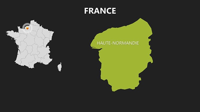
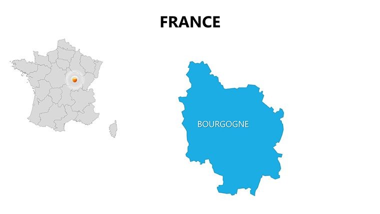
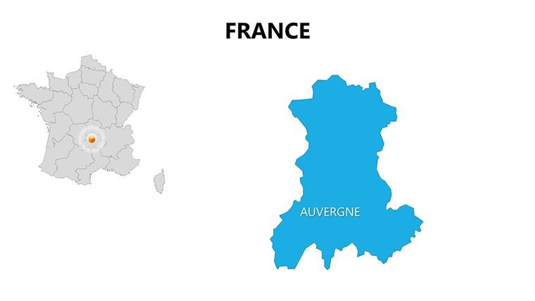
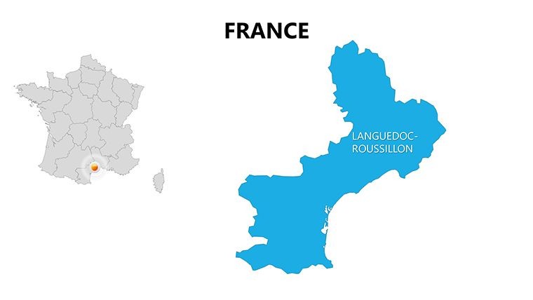
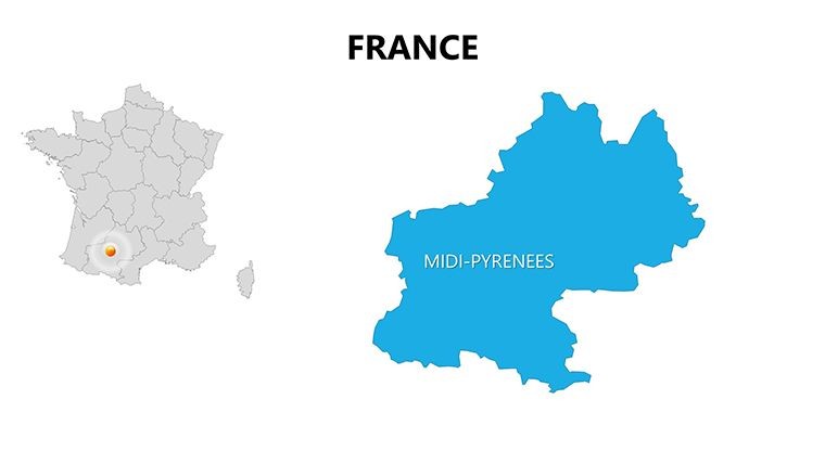
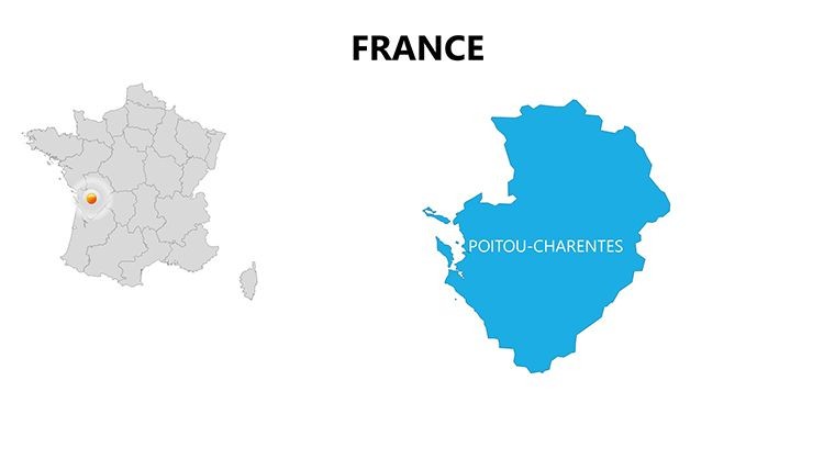
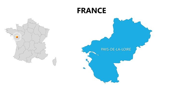
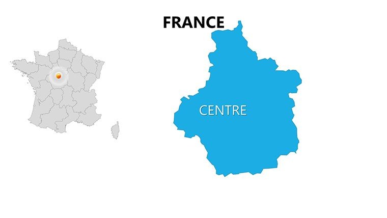
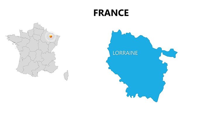
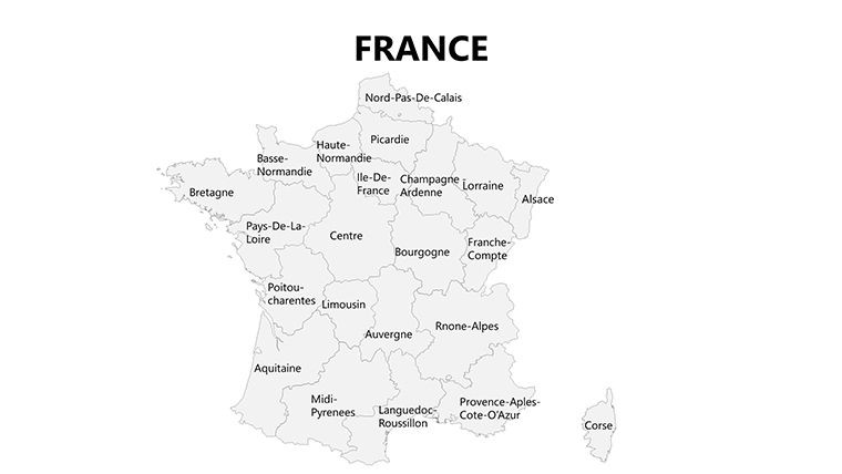
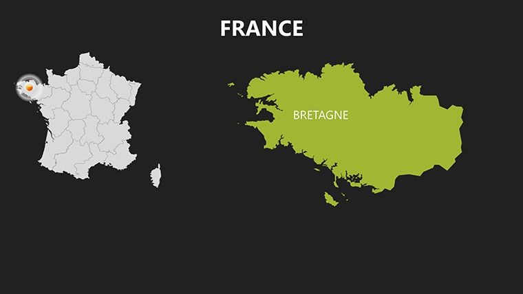
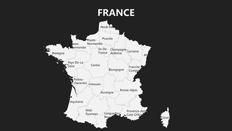
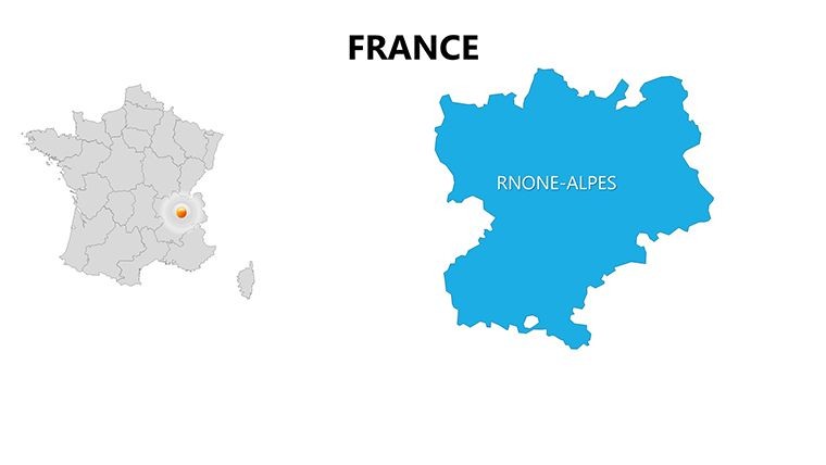
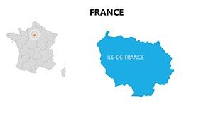
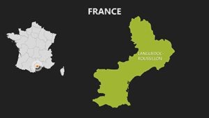
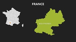
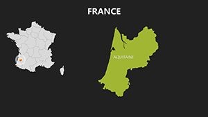
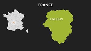
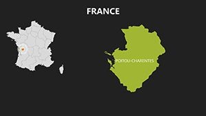
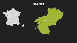
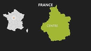
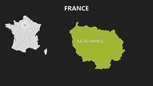
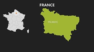
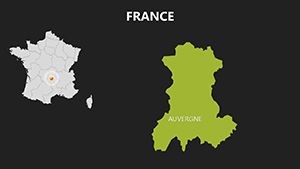
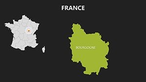
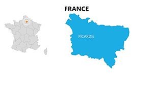
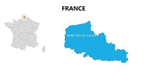
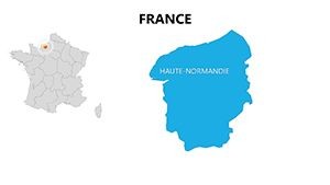
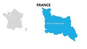
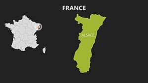
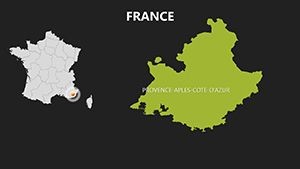
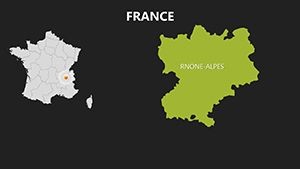
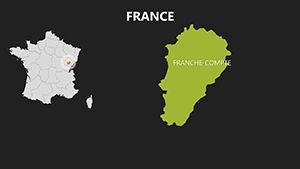
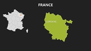
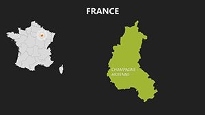
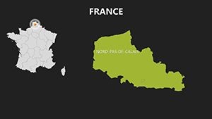
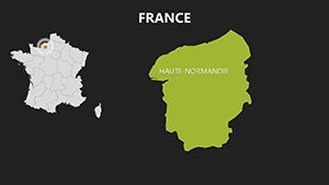
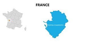
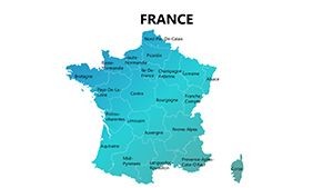
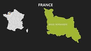
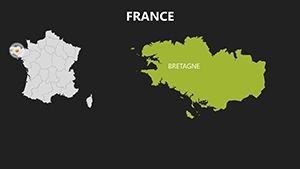
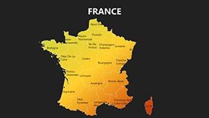
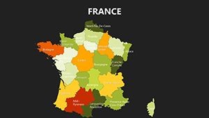
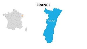
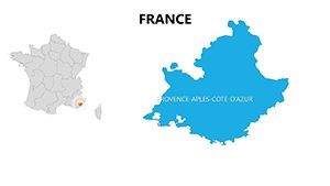
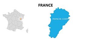
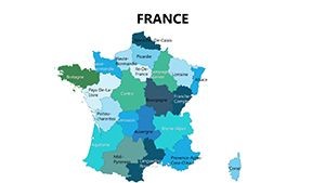
Crafted for Keynote excellence, this template's 48 slides provide comprehensive coverage of France's regions, with editable elements that adapt to your narrative. Detailed departmental maps allow pinpoint accuracy, while broader overviews encompass the entire hexagon, including overseas territories for global context.
- High-Precision Maps: Vector outlines of regions like Provence and Normandy, with editable labels and markers for custom annotations.
- Business-Oriented Icons: 90+ symbols for industries - wineries, factories, Eiffel Tower motifs - to localize your content authentically.
- Analytics-Ready Charts: Integrate scatter plots for company distributions or route optimizers synced to maps.
- Adaptive Color Themes: Tricolor-inspired schemes or subtle pastels, optimized for print and digital viewing.
Standout slides include the economic development timeline (slide 15), where you can track GDP growth across Auvergne-Rhône-Alpes, and location specifier tools (slides 30-40) for geo-tagging enterprises. Animations let you trace routes from Lyon to Marseille, far surpassing basic slide tools.
Use Cases That Drive Results
For business pros, slide 8's company heatmap visualizes market saturation, akin to INSEE data reports, helping choose expansion sites. Architects might use slide 25 to overlay heritage preservation plans on historic maps, ensuring designs respect UNESCO sites like Loire Valley chateaus.
In study environments, educators layer demographic stats on regional slides for lessons on cultural diversity, boosting student interaction. A real-world parallel: Consultants at KPMG use similar setups for EU funding pitches, streamlining route planning for logistics firms and cutting delivery visualizations by half the time.
- Economic Reports: Map enterprise growth with pie charts for sector breakdowns.
- Route Optimization: Highlight efficient paths for travel or supply chains using connected diagrams.
- Urban Studies: Specify locations for case studies on sustainable cities like Lyon.
This Keynote template outshines generic alternatives with native path animations, like flowing rivers along the Seine, and easy Google Slides export for hybrid teams, maintaining vector sharpness.
Pro Tips for Seamless Integration
Launch in Keynote, use the shapes tool to add custom pins, and link data via spreadsheets for auto-updates. For flair, animate company icons to "pop" on maps, simulating market entry - ideal for investor decks drawing from French Chamber of Commerce insights.
This template embodies France's elegance in design, aiding users in weaving data into stories that resonate. From boardrooms to lecture halls, it facilitates informed discussions on everything from tourism booms to industrial shifts.
Transform Your French Narratives
With its depth for business and study, this France Maps Keynote Template is indispensable for anyone engaging with l'Hexagone. It not only visualizes but strategizes, turning viewers into advocates.
Embrace precision. Download the France Maps Keynote Template today and navigate success with style.
Frequently Asked Questions
What platforms does it support?
Native to Keynote; compatible with PowerPoint/Google Slides via export, preserving most features.
Are maps customizable for specific data?
Fully - edit boundaries, add points, and integrate stats for personalized views.
Suitable for business or academic use?
Yes, tailored for economic analysis, route planning, and educational mapping.
Slide total?
48 editable slides with maps, charts, and infographics.
Includes relevant icons?
90+ France-themed icons for industries and landmarks.
Commercial rights?
Granted for all professional and educational applications post-purchase.