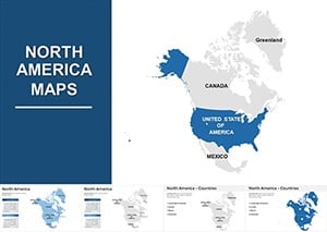
Complete North America Keynote Maps: Comprehensive Geographic Mastery


Type: Keynote Maps template
Category: North America
Sources Available: .key
Slide size: widescreen (16:9)
Product ID: KM00078
Template incl.: 14 editable slides
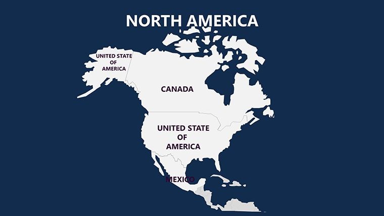
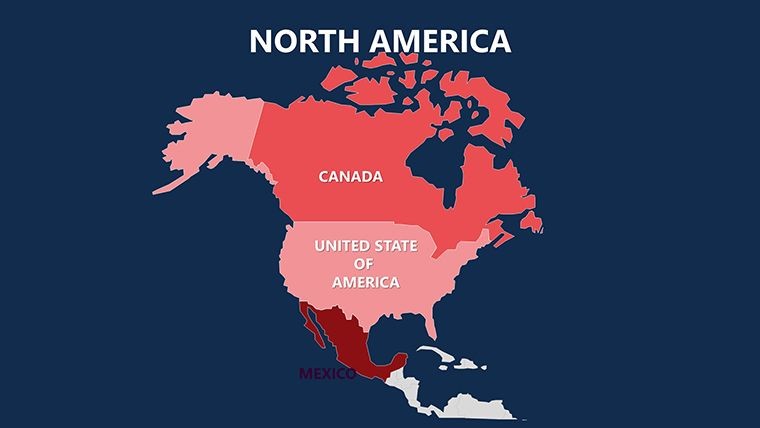
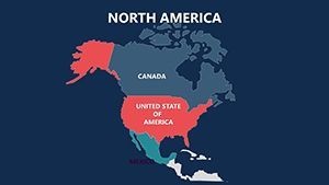
Navigating the breadth of North America - from the Rockies to the Rio Grande - requires tools that match its scale. Enter the Complete North America Keynote Maps template, featuring 14 editable slides that encapsulate the continent's ethnic, natural, climatic, and cultural mosaic. Ideal for Keynote presenters seeking depth without complexity, this template goes beyond basic outlines to include nearby islands and mainland intricacies, making it indispensable for analysts, historians, and environmentalists alike.
Crafted with precision, it adheres to cartographic norms from bodies like the USGS, ensuring reliable depictions for professional use. Whether dissecting NAFTA impacts or climate zones, the slides offer a canvas for your expertise. Users rave about its simplicity: One-click color changes and vector scalability turn hours of manual work into minutes, letting you emphasize stories like indigenous territories or urban sprawl in megacities.
Elevate Your Presentations with North American Depth
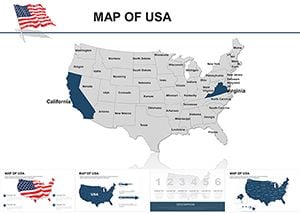
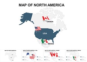
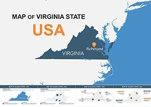
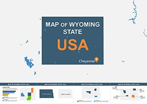
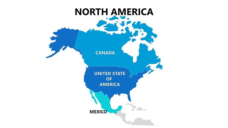
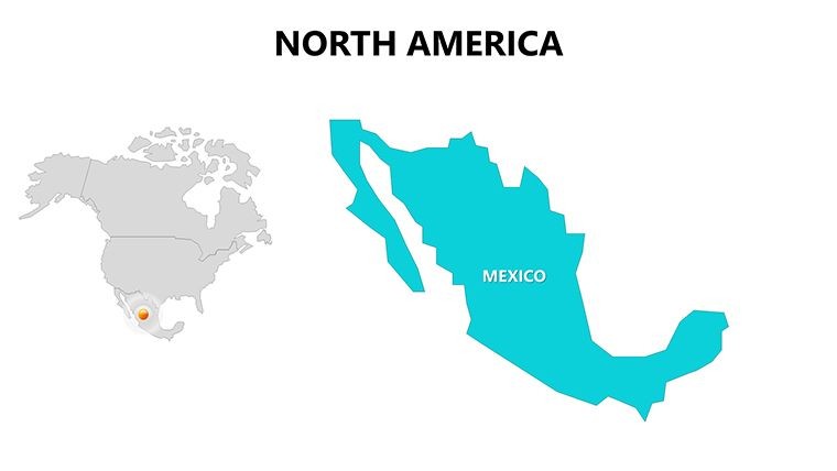
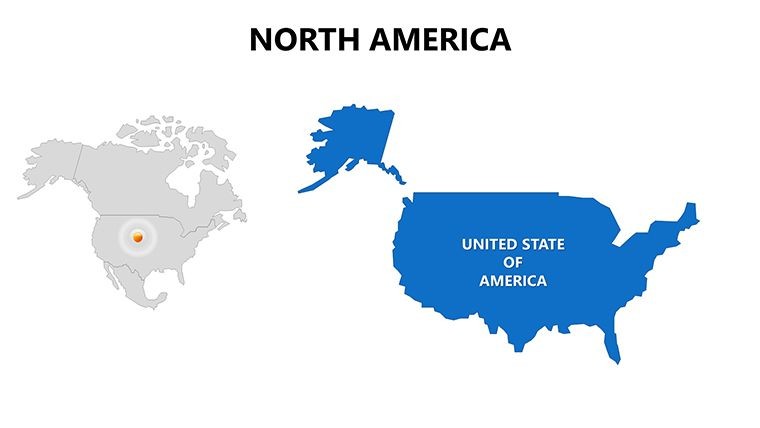
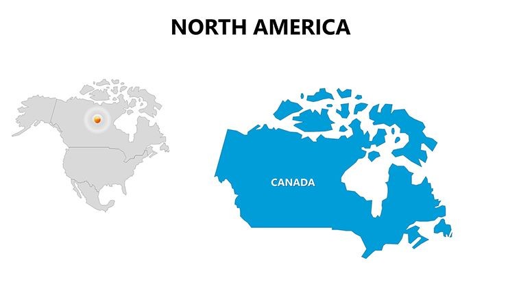
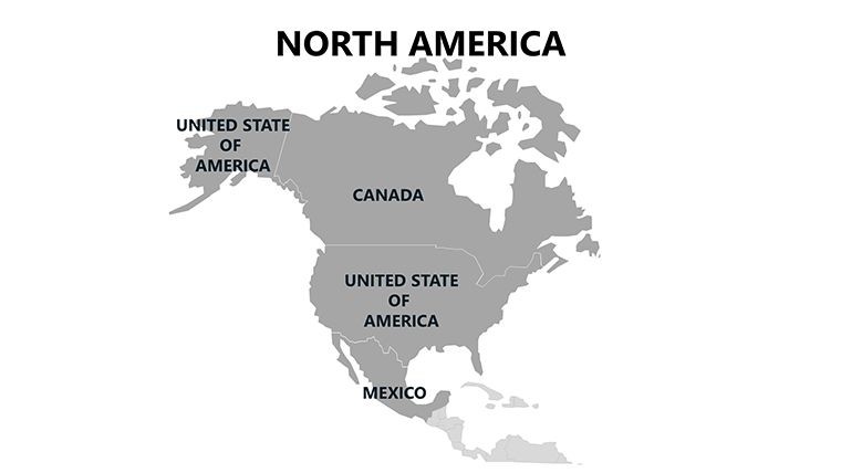
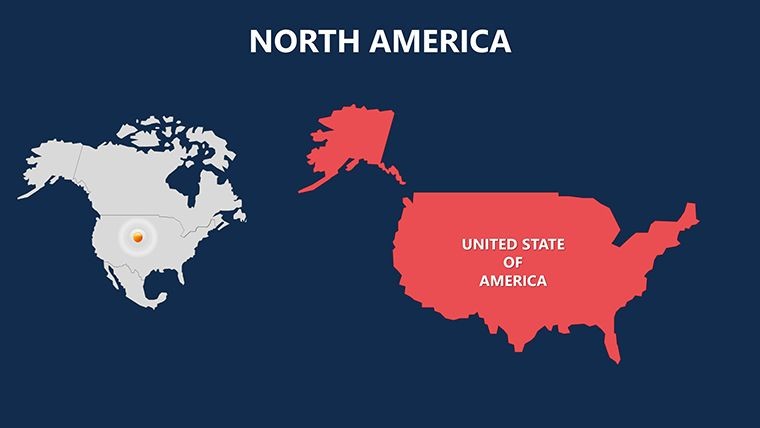
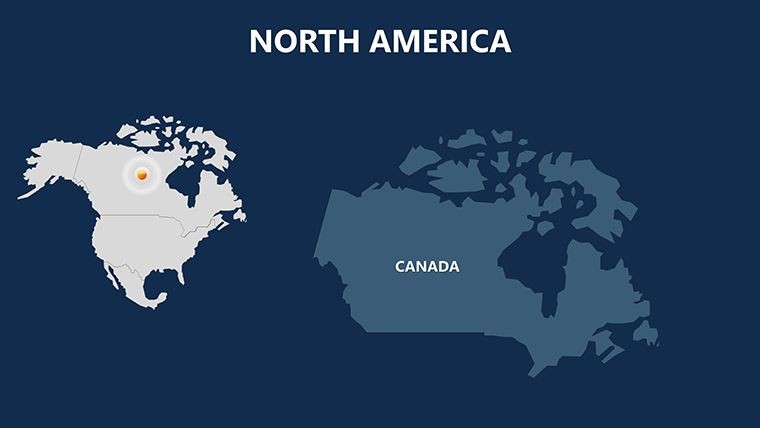
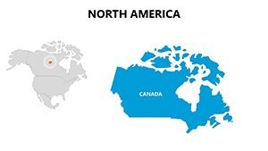
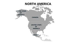
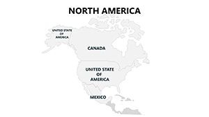
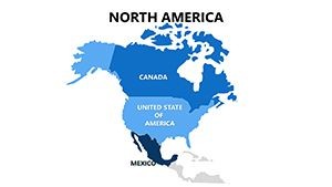
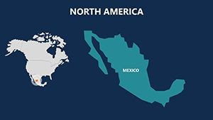
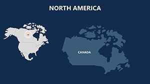
This isn't your standard map pack; it's a toolkit for unveiling the continent's layers. With slides dedicated to the US, Mexico, Canada, and 23 states plus islands, it supports multifaceted explorations. For business strategists, map cross-border trade flows editable with economic indicators from OECD reports. Academics can highlight climatic variations, overlaying data on Arctic tundras versus Sonoran deserts for vivid lectures.
The design philosophy prioritizes flexibility: Clean layouts in 4:3 and 16:9 ratios fit any venue, while smart objects ensure edits don't distort. Compared to piecing together free vectors, this delivers unity and polish, akin to custom GIS outputs but user-friendly for non-experts.
Core Features for Effortless Creativity
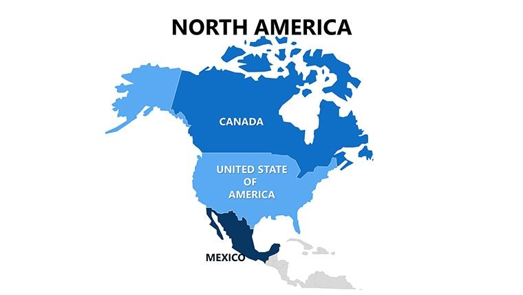
- One-Click Recoloring: Auto-adjust hues across the entire deck, matching themes like oceanic blues for coastal regions or earthy tones for prairies.
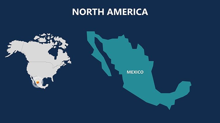
- Vector Smart Objects: Resize maps of the Great Lakes or Baja California without losing detail, perfect for zoomed analyses.
- Custom Per-Slide Animations: Animate ethnic migration paths or weather patterns to unfold narratives dynamically.
- Easy Editability: Swap text, photos, and icons intuitively, integrating cultural symbols like totem poles seamlessly.
- Slide Master Optimization: Pre-configured for image-heavy slides, maintaining harmony in hybrid content decks.
These elements tackle common hurdles, like animation glitches in imported files, providing a smooth experience that pros depend on for high-impact deliveries.
Versatile Applications Across Industries
In corporate settings, leverage the template for merger analyses spanning borders - editable routes from Toronto to Tijuana clarify logistics. Environmental consultants map conservation efforts, using island slides for biodiversity hotspots like the Galápagos influences. A real estate developer cited it in a pitch for transcontinental projects, praising how cultural overlays built stakeholder buy-in.
For tourism operators, visualize itineraries from Yellowstone to Yucatán, embedding VR links for immersive previews. Policy makers address climatic shifts, with slides on hurricane corridors informing resilient planning. The template's breadth supports lifelong learning, as one historian noted when tracing colonial footprints across the continent.
Its collaborative edge shines in team environments: Share editable files for input, fostering collective insights on topics like energy corridors.
Streamlined Workflow for Quick Wins
- Launch in Keynote: Open the .key and select from 14 ready slides for immediate use.
- Modify Content: Edit vectors for specific states, adding labels or data bubbles effortlessly.
- Incorporate Media: Insert photos of Niagara Falls or embed charts on population densities.
- Apply Animations: Set builds for revealing climatic zones, enhancing flow.
- Review and Distribute: Test ratios and export to formats like MOV for versatile sharing.
This approach streamlines production, echoing efficiencies in professional design workflows and freeing time for refinement.
Expert Advice for Peak Performance
Build engagement by sequencing slides logically: Overview first, then thematic dives. Infuse personality with quips like "Where eagles soar and cacti thrive," softening dense info. Adhere to WCAG for alt descriptions on maps, broadening reach.
Enhance with integrations: Pull data from APIs for live updates or sync with Tableau for advanced viz. Feedback highlights how this interactivity turns passive viewers into active participants.
Device-test animations for consistency, vital in diverse presentation scenarios.
Chart Your Path to Excellence
Embrace the full scope of North America with this powerhouse template. It's your ally in crafting presentations that inform and inspire. Secure it now and navigate success across the continent - your audience awaits the journey.
Frequently Asked Questions
What regions does this North America template cover?
It includes the US, Mexico, Canada, 23 states, and nearby islands for thorough continental representation.
Are the maps suitable for academic purposes?
Yes, with accurate depictions ideal for studies on climate, culture, or economics.
How easy is color customization?
One-click changes recolor everything automatically, simplifying branding.
Does it support animations?
Custom options per object allow tailored effects for engaging reveals.
Can I add my own images?
Absolutely - slide masters are optimized for seamless photo integration.