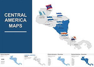
Central America Keynote Maps: Vibrant Visuals for Dynamic Stories


Type: Keynote Maps template
Category: Central America
Sources Available: .key
Product ID: KM00077
Template incl.: 20 editable slides
Step into the lush world of Central America without leaving your presentation room. This Keynote Maps Template, with its 20 meticulously crafted editable slides, brings the region's azure coastlines, dense rainforests, and cultural hotspots to life. Tailored for Keynote enthusiasts, it's perfect for anyone - from passionate travelers recounting adventures to business pros mapping market expansions - who wants to infuse authenticity into their slides. Forget bland diagrams; this template uses a vibrant color scheme inspired by Mayan ruins and Pacific waves to make your content unforgettable.
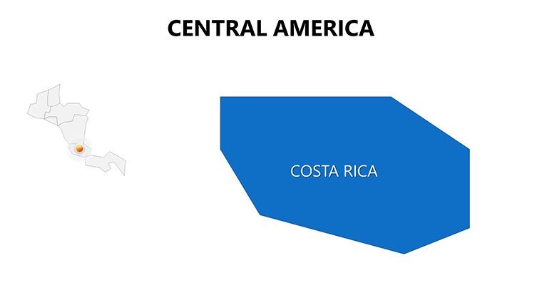
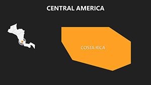
The beauty lies in its adaptability: Whether illustrating biodiversity in Costa Rica or trade routes through Panama, each slide offers layers of customization. As a tool for visual storytellers, it solves the common issue of dry geographic data by embedding infographics that simplify complexities, like population distributions or eco-tourism stats. Users love how it transforms routine reports into engaging narratives, boosting audience retention by making abstract concepts feel tangible and exciting.
Discover the Essence of Central America in Every Slide
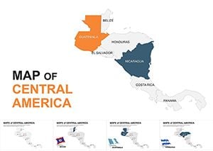
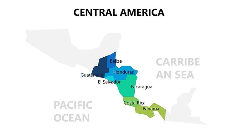
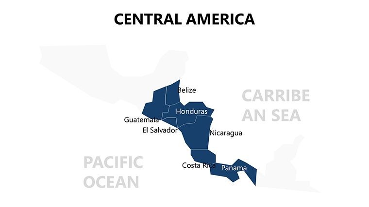
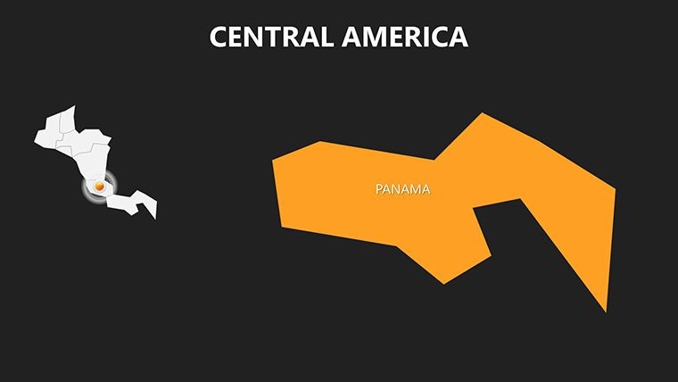
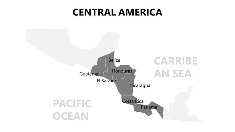
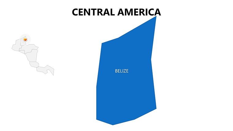
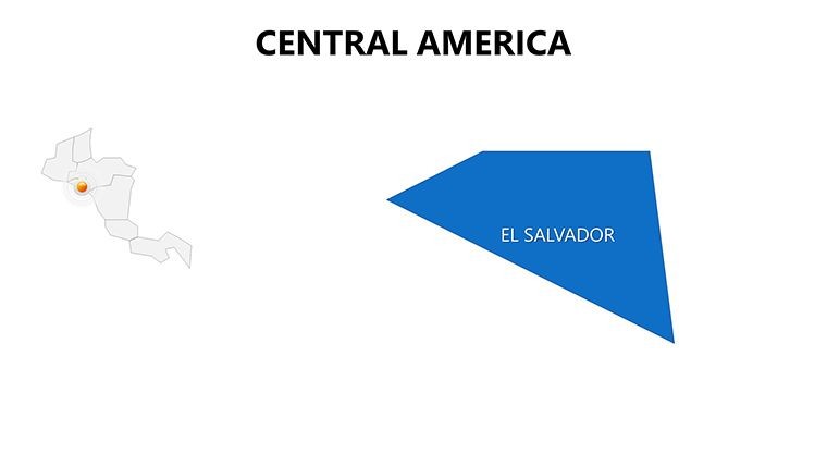
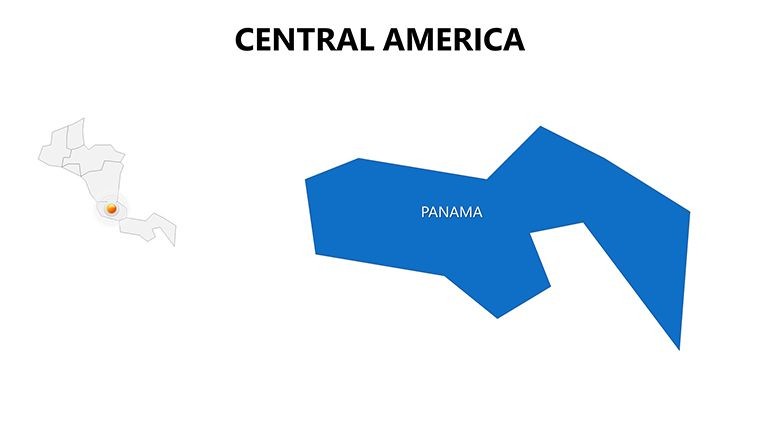
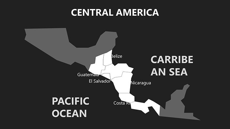
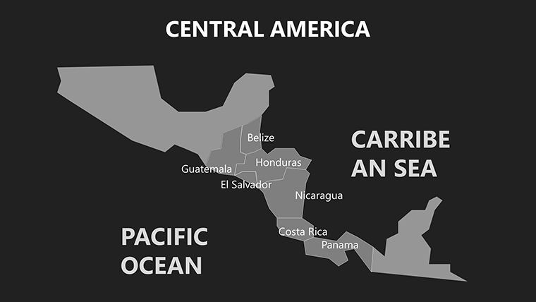
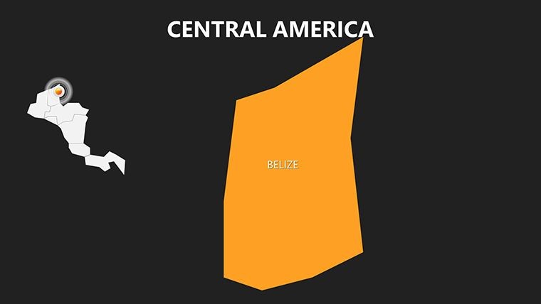
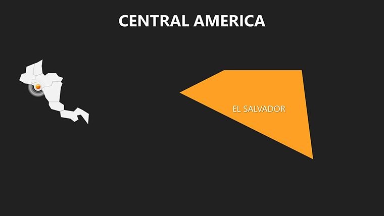
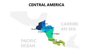
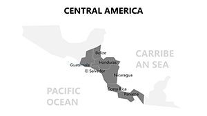
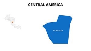
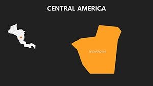
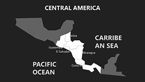
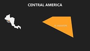
This template isn't merely a collection of maps; it's a celebration of Central America's diversity, from Belize's coral reefs to Nicaragua's volcanic landscapes. With editable elements compliant with geographic standards from organizations like the UN, it ensures precise representations for credible presentations. For educators, a slide on the Isthmus of Panama can highlight historical migrations, complete with timeline overlays. Business analysts might customize the economic zones map to pinpoint investment hotspots in El Salvador, integrating real-time data for sharper insights.
What elevates it? The seamless blend of aesthetics and function - think high-contrast colors for readability and vector-based designs that scale flawlessly. Available in standard Keynote formats, it integrates effortlessly with your existing decks, allowing quick swaps for themed sections. A travel blogger once used it to showcase a backpacking itinerary, adding personal photos to map pins, resulting in viral shares that drove bookings.
Standout Features for Seamless Customization
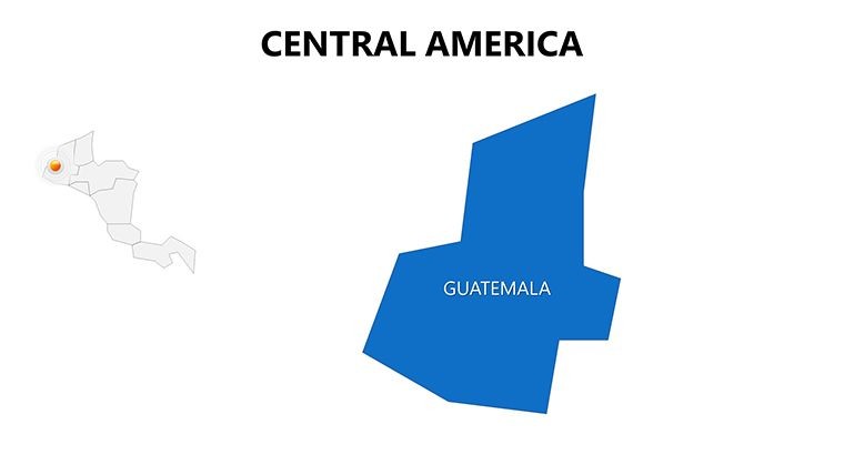
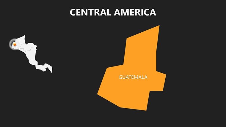
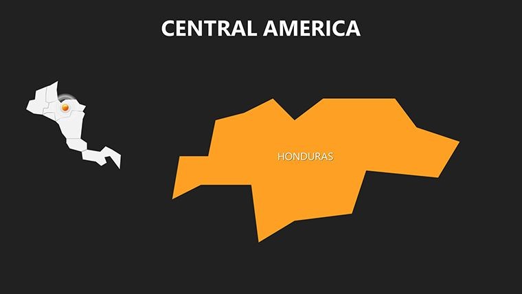
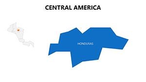
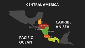
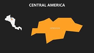
- Region-Specific Edits: Zoom into countries like Guatemala or Honduras, recoloring borders or adding labels with Keynote's intuitive tools for targeted focus.
- Built-In Infographics: Pre-designed charts for demographics or climate data, editable to reflect specifics like hurricane impact zones.
- Consistent Layouts: Uniform design across slides ensures a polished flow, ideal for multi-section talks on regional politics or tourism.
- Animation Options: Smooth transitions that mimic journeys, such as panning across the Caribbean coast to reveal hidden gems.
- Versatile Formats: Supports image embeds and hyperlinks, linking maps to external resources like travel advisories for interactive depth.
These aren't generic add-ons; they address user frustrations like inconsistent scaling in free tools. In contrast to basic Google Maps exports, this delivers a premium, cohesive package that feels custom-built, much like professional cartography services but at a fraction of the cost.
Practical Use Cases: Tailored for Diverse Audiences
For educators, this template revolutionizes geography classes. Use the biodiversity slide to overlay species distributions in cloud forests, drawing from WWF reports for authoritative backing - students engage more when visuals evoke the thrill of discovery. Travel enthusiasts can chronicle trips, mapping routes from Tikal temples to Roatán dive sites with photo integrations that transport viewers.
Business professionals find it invaluable for strategy sessions. Visualize supply chains snaking through the canal zone, editable with logistics data to forecast disruptions. A marketing firm adapted it for a campaign on sustainable coffee from Honduras, using infographics to highlight ethical sourcing, which swayed partners effectively. Even in humanitarian efforts, NGOs map disaster relief paths in flood-prone areas like Honduras, ensuring clear communication to donors.
The template's strength is its user-centric design: No steep learning curve, just immediate value. Integrate with Keynote's collaboration features for team edits, perfect for remote planning in global firms.
Your Guide to Effortless Implementation
- Import the Template: Open the .key file in Keynote and browse the 20 slides for instant inspiration.
- Personalize Regions: Select map elements, adjust hues to match tropical vibes, and input custom text or icons.
- Layer Data: Add graphs for economic indicators or embed videos of cultural festivals for multimedia richness.
- Animate Flows: Set entrance effects for paths, simulating travel or data progression across borders.
- Finalize and Present: Rehearse transitions and export for web sharing or print handouts.
This workflow halves creation time, per designer testimonials, allowing focus on messaging over mechanics. It's like having a virtual cartographer at your fingertips.
Pro Tips to Maximize Visual Impact
Pair maps with storytelling arcs: Begin with a panoramic overview, then drill down to cultural enclaves. Add light-hearted notes, like "Where volcanoes meet beaches," to humanize data-heavy slides. For inclusivity, incorporate alt text suggestions for screen readers, aligning with accessibility guidelines from the W3C.
Sync with external apps? Link to Google Earth for 3D previews or import stats from CSV files for dynamic updates. Professionals note that such enhancements make presentations stand out in crowded virtual meetings, fostering deeper connections.
Preview on various devices to ensure vibrancy holds - essential for hybrid events where audiences span time zones.
Bring Central America to Life Today
Seize the opportunity to make your presentations as diverse and captivating as the region itself. This Keynote template is more than slides; it's a gateway to inspiration. Download now and let your visuals speak volumes - connect, educate, and enthuse with every map.
Frequently Asked Questions
How customizable are the Central America maps?
Every element, from borders to icons, is vector-based and fully editable in Keynote, letting you tailor to exact needs.
Is this suitable for educational use?
Yes, ideal for lessons on geography or history, with space for annotations and multimedia to engage learners.
Can business pros adapt it for strategies?
Definitely - overlay market data or routes to visualize expansions, enhancing pitches with professional flair.
What file formats are included?
Primarily .key for Keynote, with vectors and PNGs for flexibility across tools.
Does it support animations for maps?
Built-in options allow panning and reveals, making geographic narratives flow naturally.
Are the colors culturally sensitive?
The palette draws from regional inspirations, but you can adjust for branding or preferences.