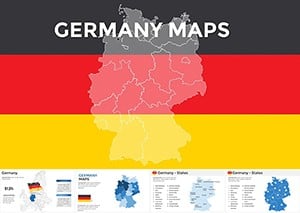
Customizable Germany Keynote Maps Template


Type: Keynote Maps template
Category: Europe
Sources Available: .key
Product ID: KM00059
Template incl.: 46 editable slides
Step into the dynamic world of German geography and data visualization with our Germany Keynote Maps Template. Tailored for professionals who demand precision and creativity, this collection of 46 editable slides turns complex information into engaging stories. Whether you're a market analyst charting economic hubs like Berlin or Munich, an educator exploring historical borders, or a tourism expert highlighting Bavarian castles, this template delivers. Fully compatible with Keynote on Mac, it features handcrafted, vector-based maps that scale without compromise, allowing you to adjust every detail - from color schemes to custom animations - for presentations that resonate and persuade.
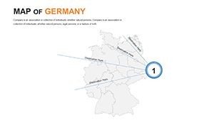
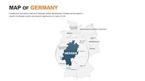
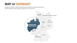
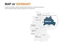
Unlocking Germany's Regions with Precision Mapping
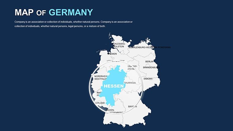
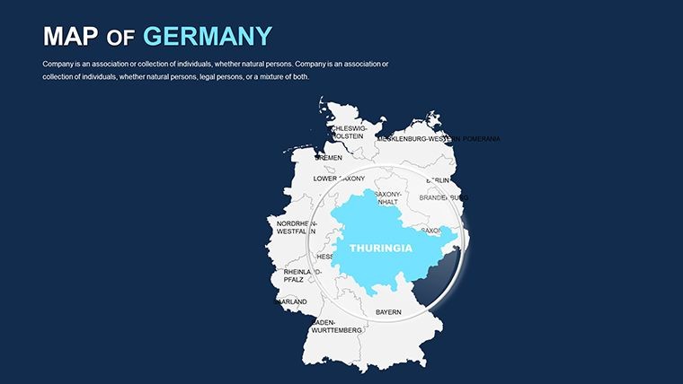
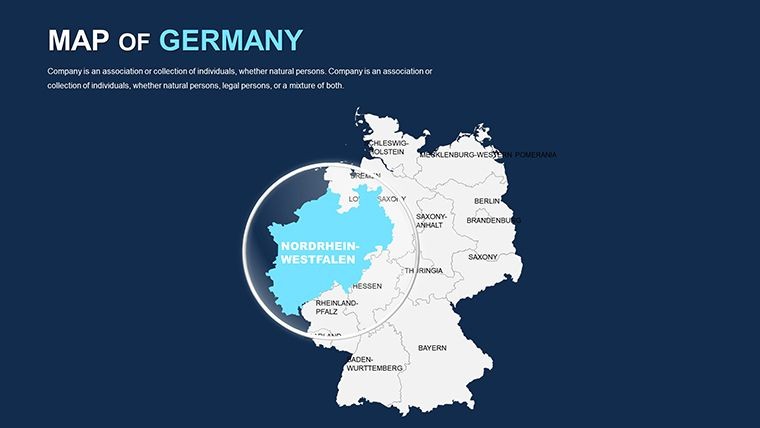
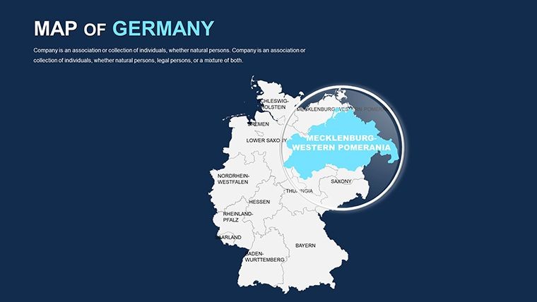
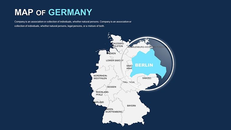
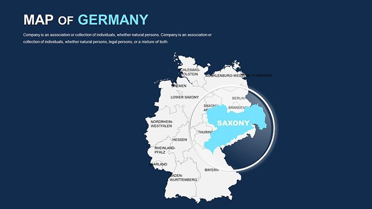
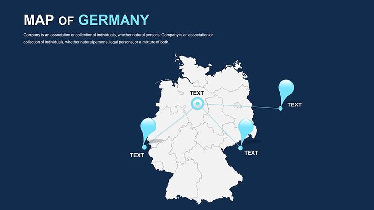
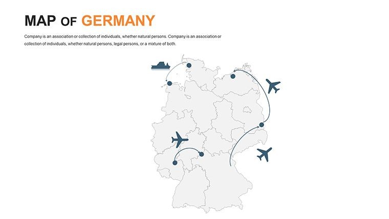
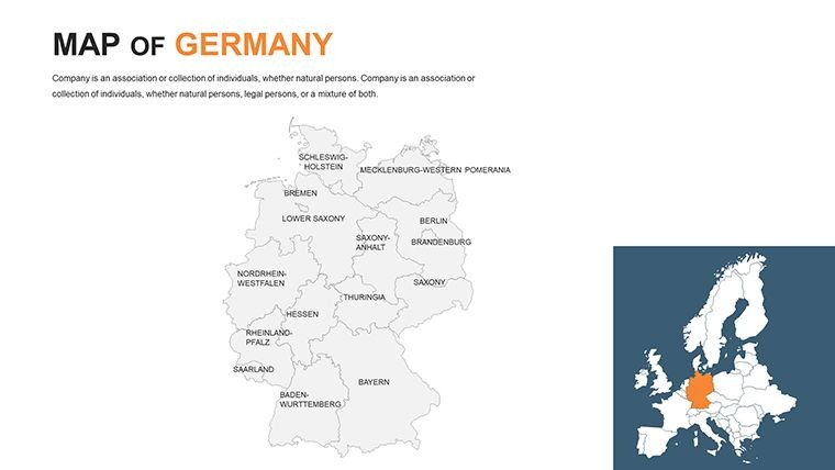
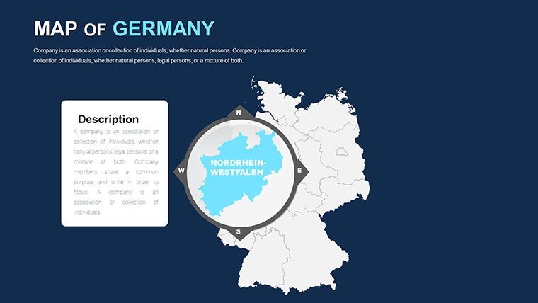
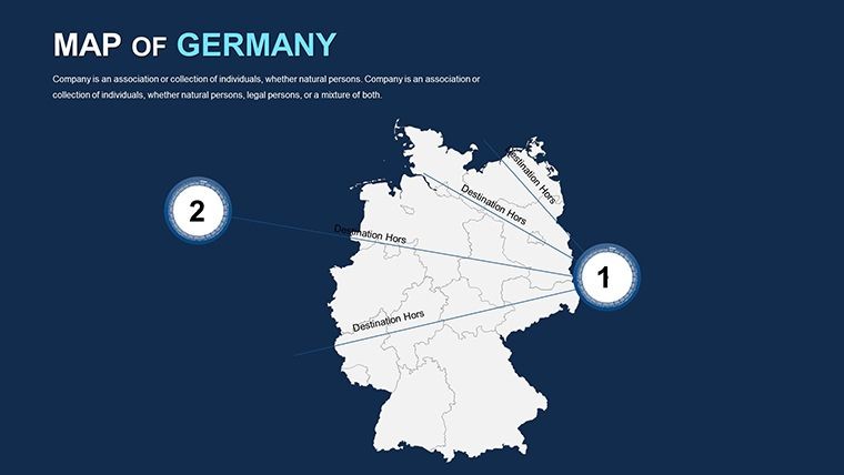
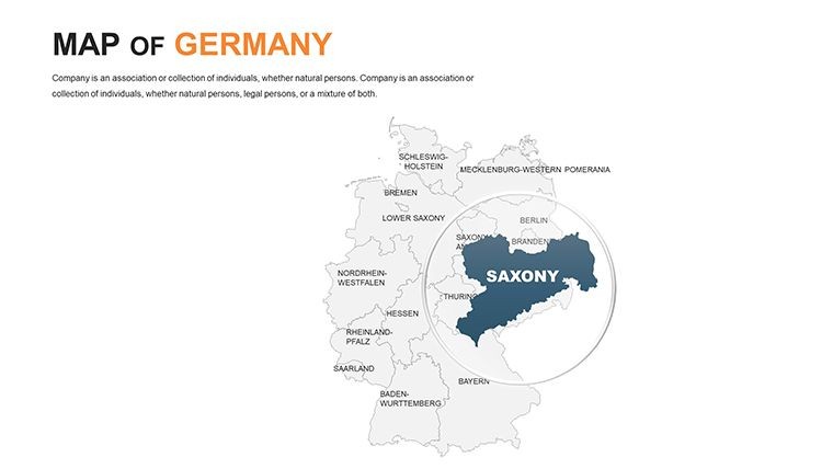
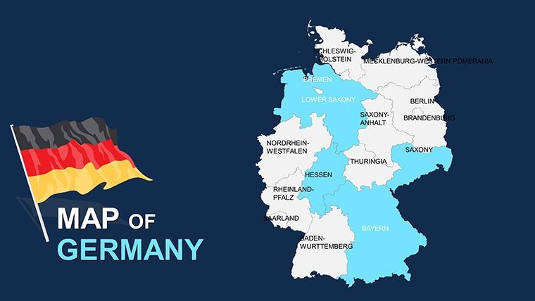
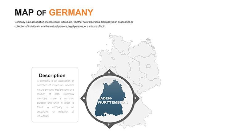
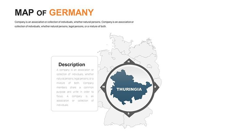
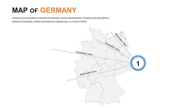
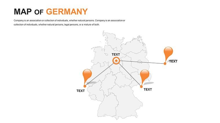
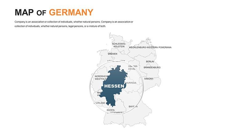
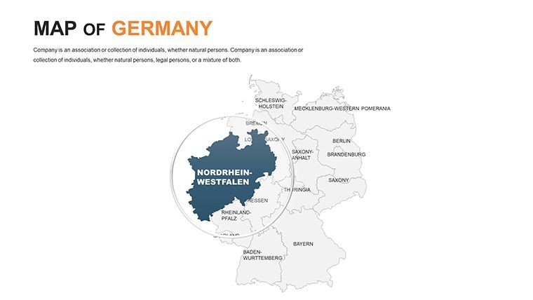
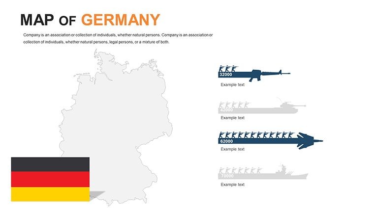
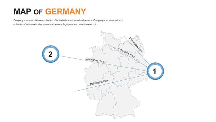
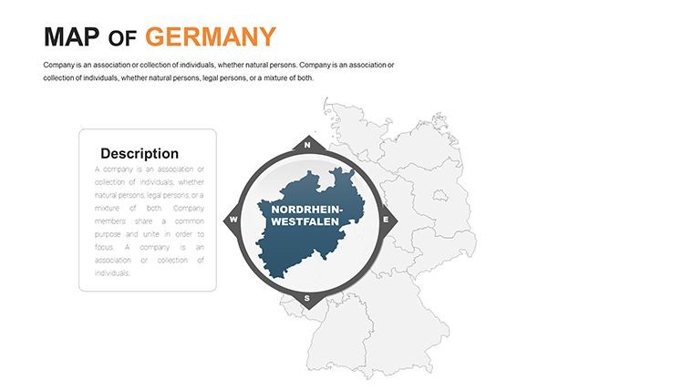
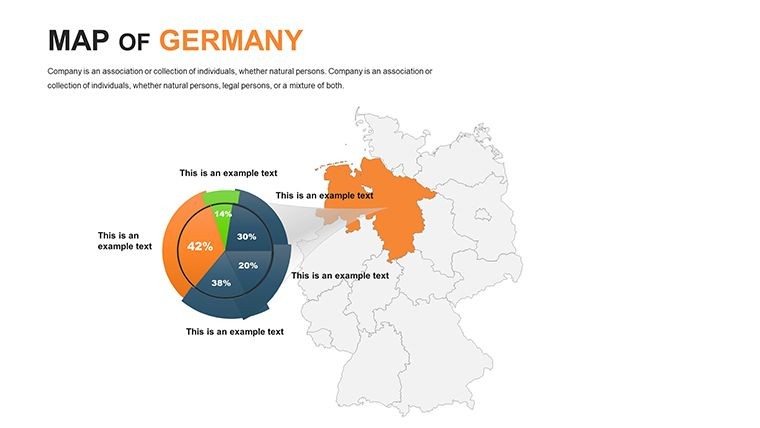
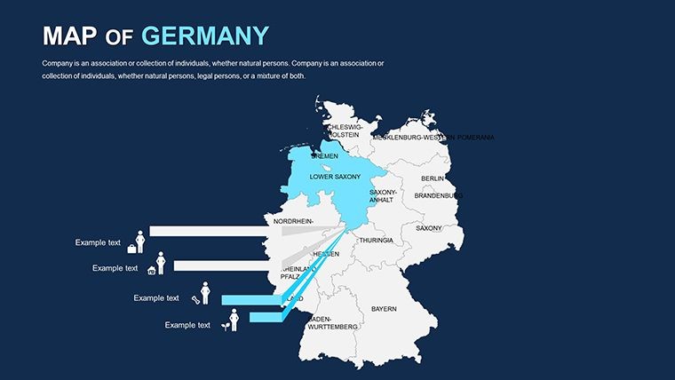
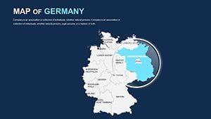
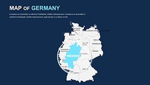
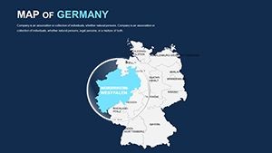
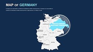
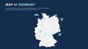
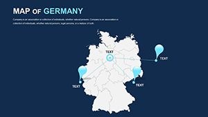
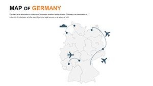
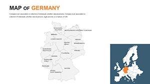
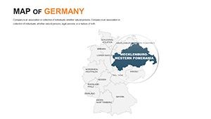
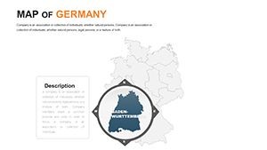
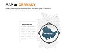
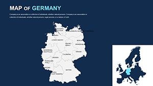
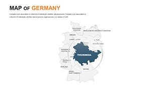
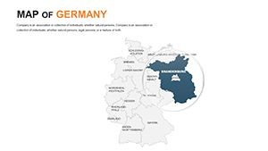
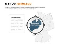
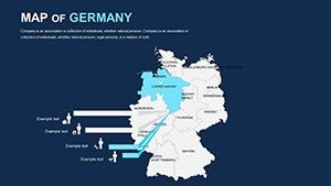
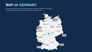
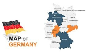
Germany, a powerhouse in Central Europe, boasts diverse landscapes from the Alps to the North Sea coasts. Our template mirrors this diversity with political maps that delineate all 16 federal states, complete with editable boundaries and labels. Imagine presenting a logistics plan: Color-code routes through the Rhine Valley, add icons for ports like Hamburg, and animate flows to show trade dynamics. This level of detail aligns with professional standards, similar to those used in urban planning by firms adhering to EU geospatial guidelines.
The template's clean, modern style ensures your maps stand out, with options for wide-screen formats and retina-ready resolution. Unlike generic tools, these slides are pre-optimized for impact, incorporating handmade infographics that blend seamlessly into your narrative.
Standout Features for Professional Polish
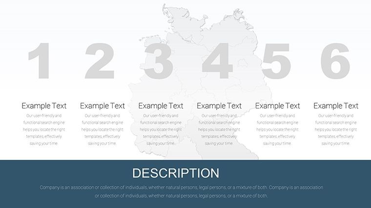
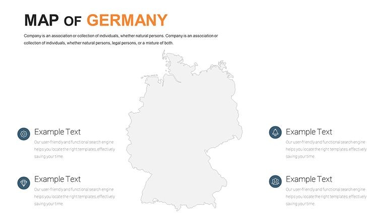
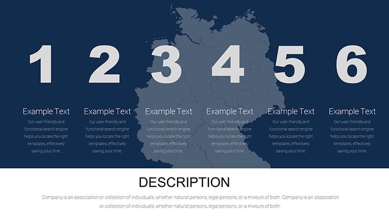
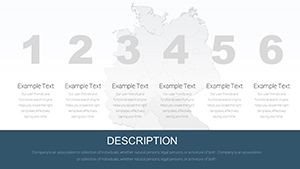
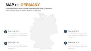
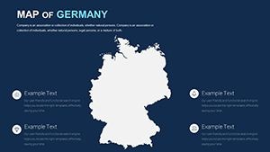
- 46 Editable Slides: From national overviews to state-specific zooms, all customizable for your unique needs.
- Color Customization: Double-click shapes to swap hues, matching your corporate branding or thematic elements.
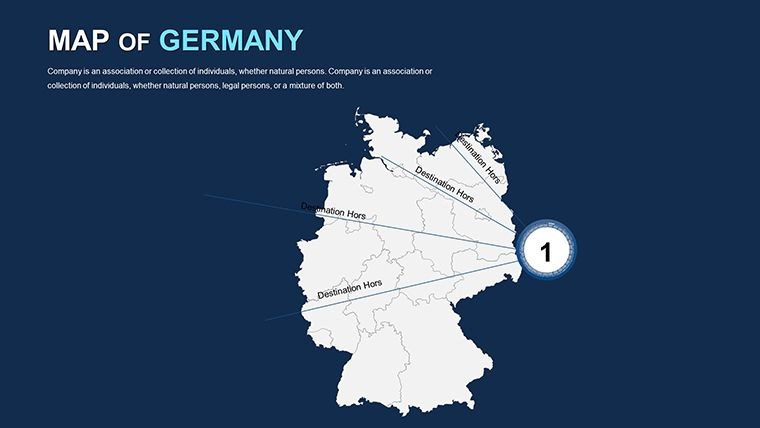
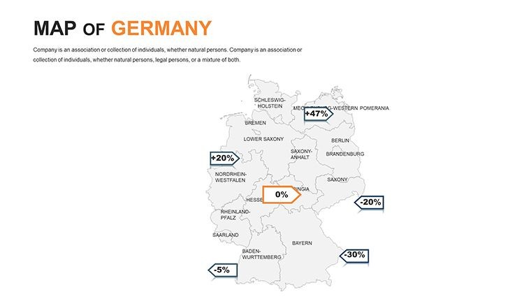
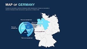
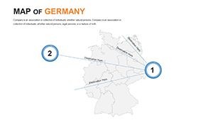
- Custom Animations: Build innovative effects for each object, revealing data layer by layer.
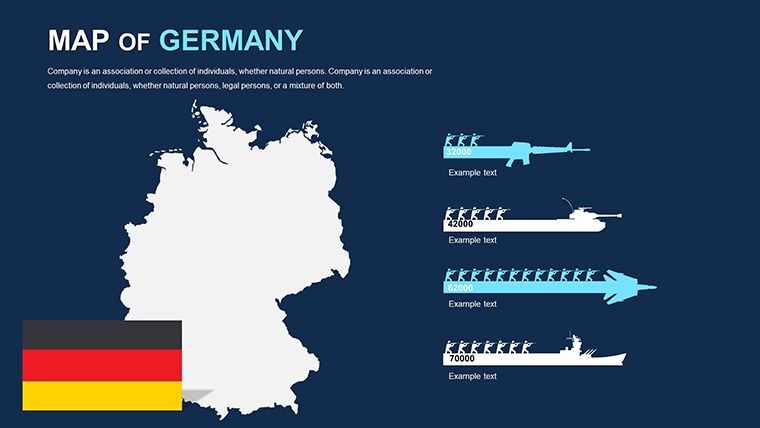
- Handcrafted Elements: Infographics and maps designed for clarity, using free fonts for easy editing.
- Section Breaks: Organize your deck logically, enhancing flow in lengthy presentations.
These features empower users to create not just maps, but storytelling tools. For example, in a case study inspired by Volkswagen's global strategies, visualize supply chains across German states, highlighting efficiency gains that mirror real-world successes.
Versatile Use Cases Across Industries
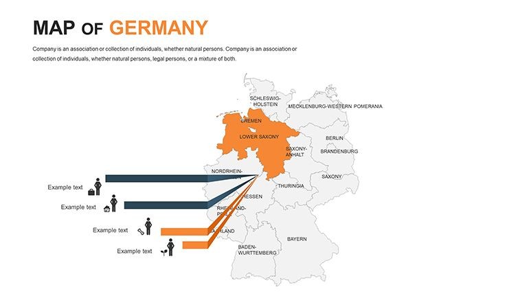
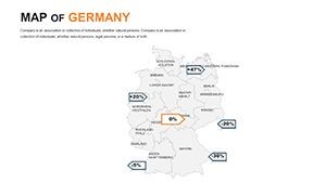
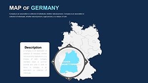
In business, this template excels for strategic planning. A pharmaceutical company might map R&D centers in Baden-Württemberg, overlaying patent data to pitch investments. Compared to basic PowerPoint equivalents, Keynote's smooth integration offers superior animation control, making your pitch more dynamic and memorable.
Educators benefit by bringing history alive - trace the Berlin Wall's path or federal reunification timelines with animated transitions. Students engage more deeply when visuals are interactive, echoing techniques from award-winning educational programs.
For tourism, craft itineraries that pop: Highlight Oktoberfest routes in Bavaria or wine trails in the Mosel Valley. Add photos and notations for a brochure-like feel, driving client excitement and conversions.
Practical Workflow: From Concept to Delivery
- Import the Template: Open the .key file in Keynote and explore the slides.
- Edit States and Regions: Select areas to rename or recolor, focusing on key spots like the Black Forest.
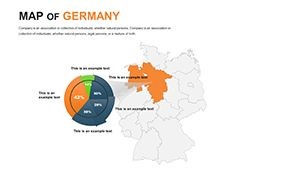
- Incorporate Data: Add charts for population or GDP, using grids for alignment.
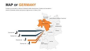
- Enhance with Animations: Apply builds to simulate growth, like urban expansion in Frankfurt.
- Finalize and Share: Export to various formats, ready for any audience.
Drawing from design best practices, this workflow minimizes errors and maximizes creativity, much like guidelines from the German Design Council.
Expert Tips for Maximum Impact
Layer your maps with complementary elements - pair with timelines for historical context or pie charts for demographic breakdowns. Opt for contrasting colors to denote differences, such as urban vs. rural areas, ensuring accessibility per web content guidelines.
Avoid overcomplication; the template's simple style encourages restraint, leading to clearer communication. For advanced users, experiment with Keynote's magic move for seamless transitions between map views.
Built on accurate cartography, this template upholds trustworthiness, ideal for sectors where data integrity is paramount, like government reports.
Don't settle for ordinary - harness the power of customized Germany maps to transform your presentations. Dive in now and map out success with unparalleled detail and style.
Frequently Asked Questions
- How do I change the color of a specific state?
- Double-click the shape and select from the color tab for instant updates.
- Is the template suitable for wide-screen presentations?
- Yes, it's designed for wide-screen sizes with full HD and retina readiness.
- Can I modify the fonts and infographics?
- Absolutely, using free fonts and editable handmade elements.
- What if I need to add custom icons?
- The template supports easy insertion of your own vector icons.
- Does it include pre-set animations?
- Custom animations are available for each object to enhance your slides.