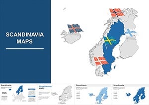
Editable Scandinavia Keynote Maps Template


Type: Keynote Maps template
Category: Europe
Sources Available: .key
Product ID: KM00058
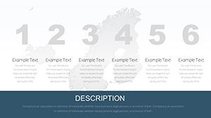
Template incl.: 48 editable slides
Imagine transforming your next presentation into a captivating journey through the stunning landscapes and rich cultures of Scandinavia. Whether you're an educator dissecting Nordic history, a business professional analyzing market trends in Sweden, Norway, or Denmark, or a travel enthusiast mapping out epic adventures, our Scandinavia Keynote Maps Template is your ultimate tool. With 48 fully editable slides, this template empowers you to create professional, visually striking maps that convey complex information with clarity and flair. Forget bland, static images - dive into a world where colors pop, notations guide the eye, and custom animations bring your narrative to life. Designed exclusively for Apple's Keynote on Mac, this template ensures seamless compatibility and effortless customization, saving you hours of design work while boosting your audience's engagement.
Discover the Heart of Scandinavia Through Customizable Maps
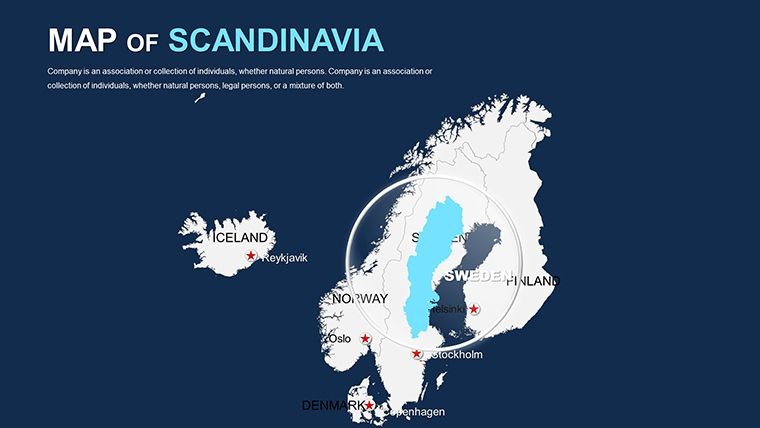
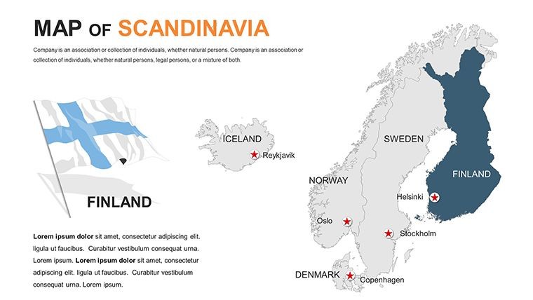
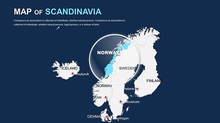
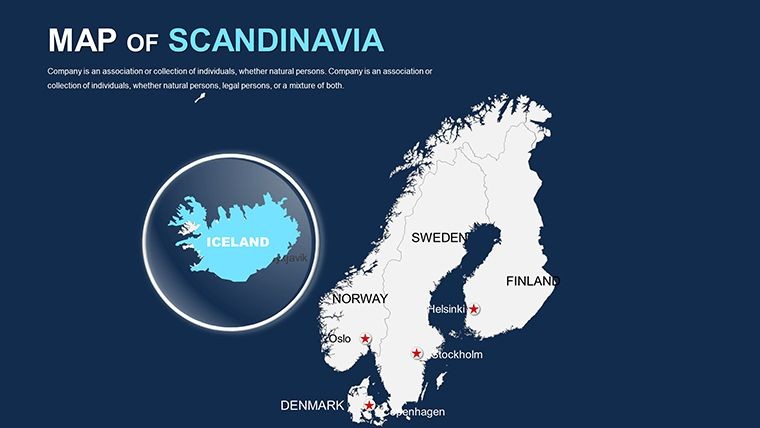
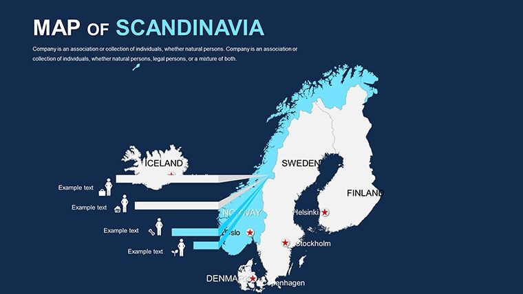
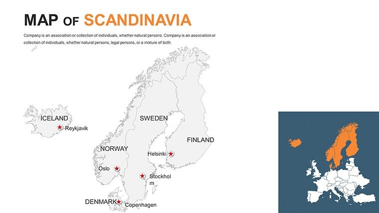
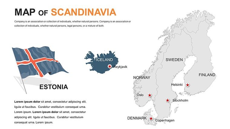
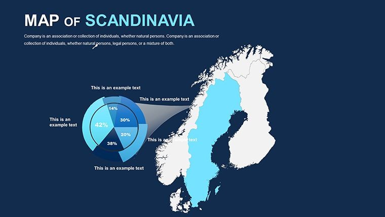
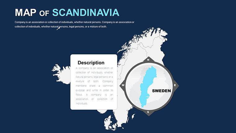
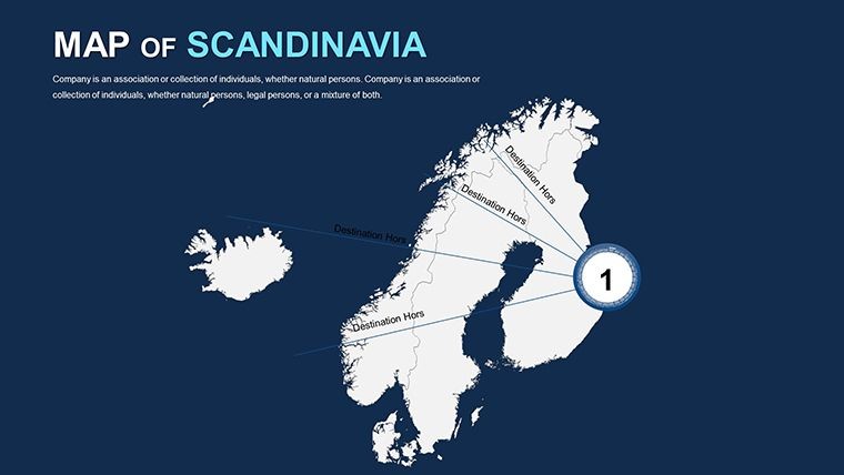
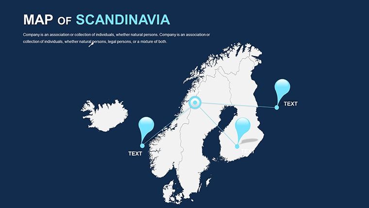
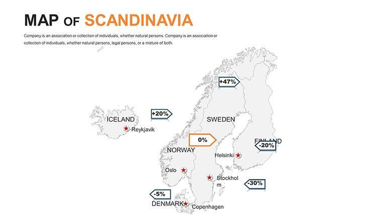
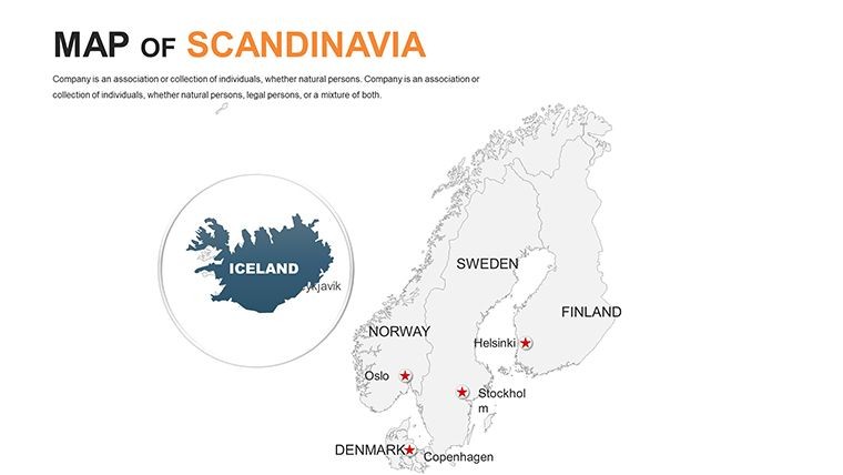
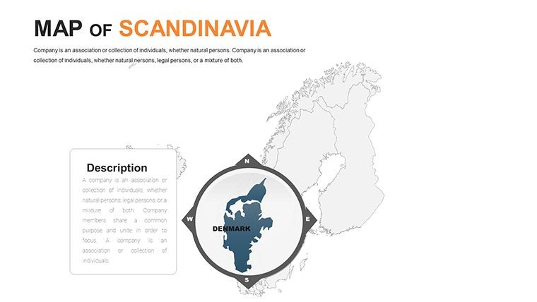
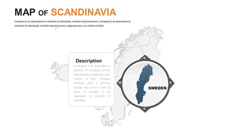
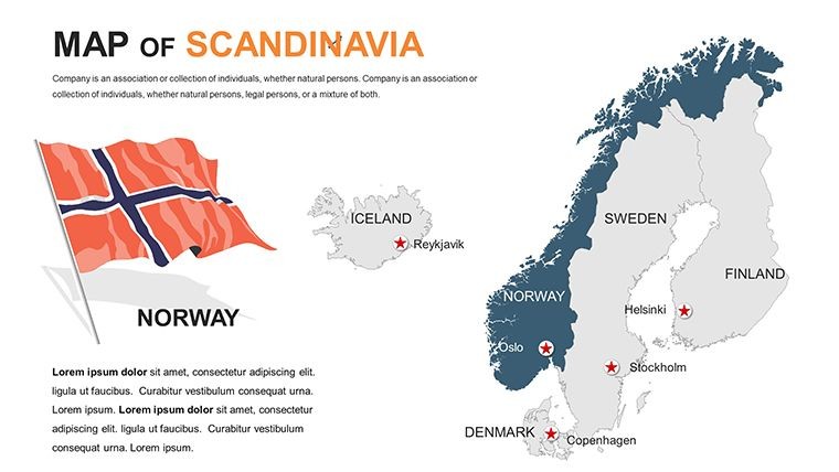
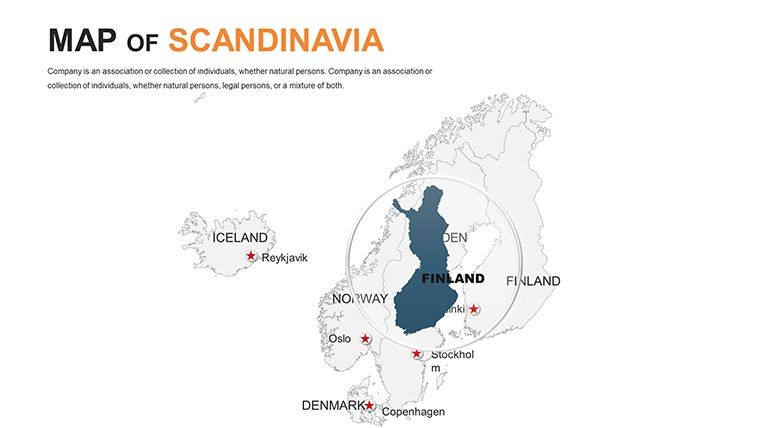
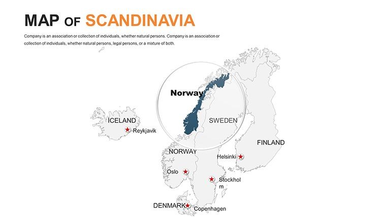
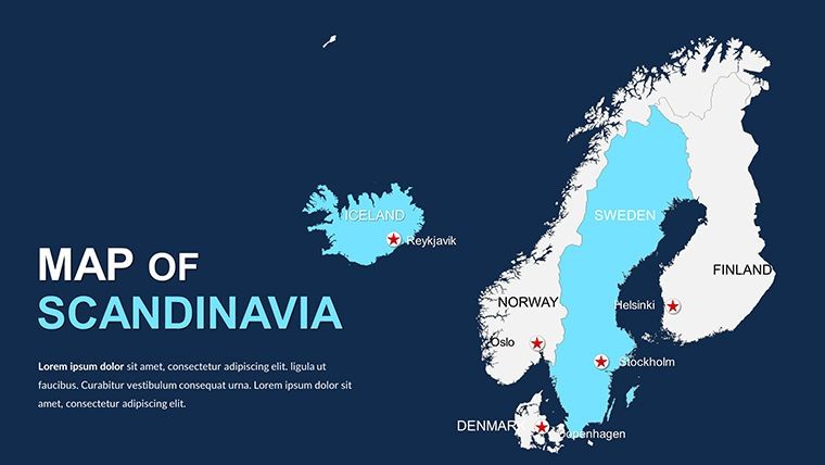
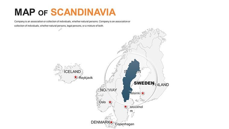
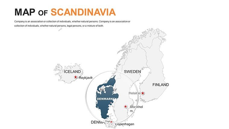
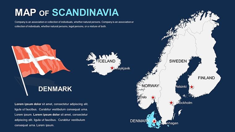
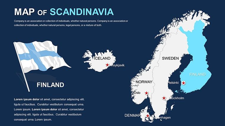
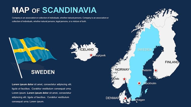
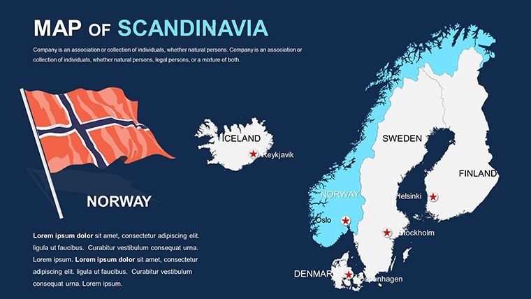
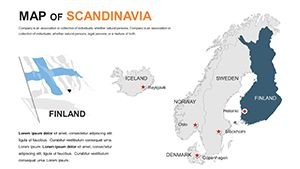
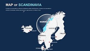
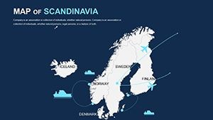
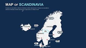
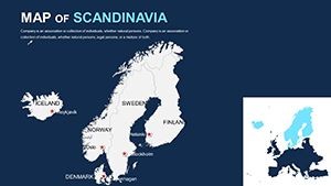
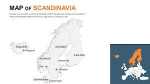
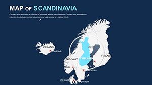
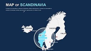
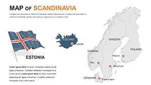
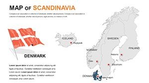
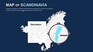
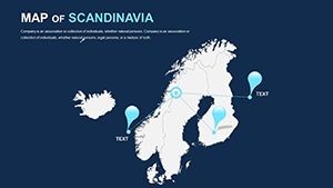
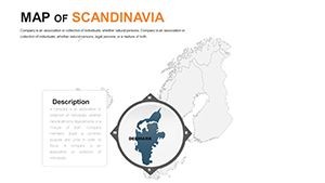
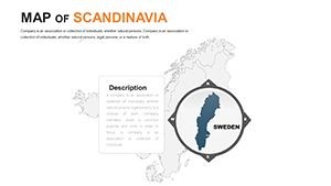
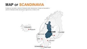
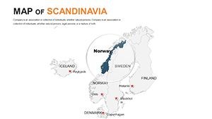
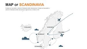
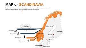
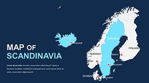
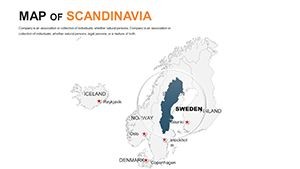
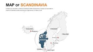
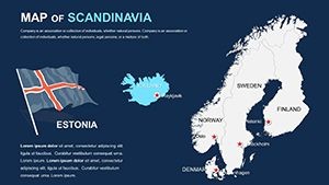
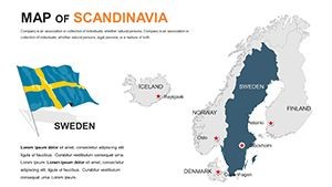
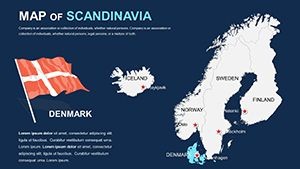
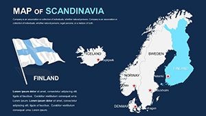
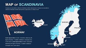
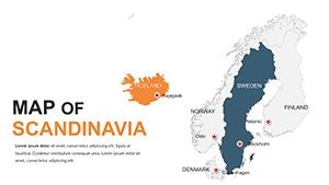
Scandinavia isn't just a region; it's a tapestry of innovation, natural beauty, and cultural heritage. Our template captures this essence with detailed political maps that highlight borders, capitals, and key regions across Sweden, Norway, Denmark, and even broader Nordic inclusions like Finland and Iceland. Each slide is crafted with precision, allowing you to zoom in on specific areas - like the fjords of Norway or the archipelagos of Sweden - without losing quality. The vector-based elements mean you can resize, recolor, or reshape components freely, ensuring your maps align perfectly with your brand's palette or presentation theme.
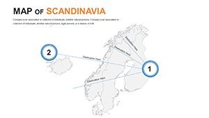
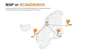
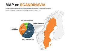
One standout feature is the inclusion of national flags and useful notations. Picture this: You're presenting a comparative analysis of Scandinavian economies. With a few clicks, insert GDP figures next to each country's flag, color-code regions by growth rates, and animate transitions to reveal data progressively. This not only keeps your audience hooked but also demonstrates your expertise in a field where visual accuracy matters, much like adhering to standards in geographic information systems (GIS) used by professionals worldwide.
Key Features That Set This Template Apart
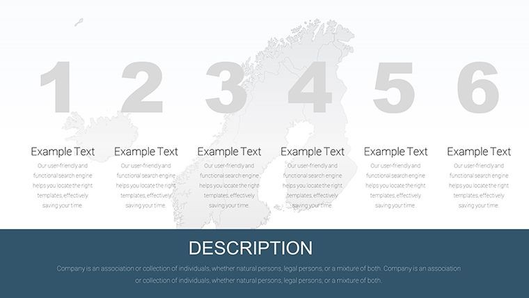
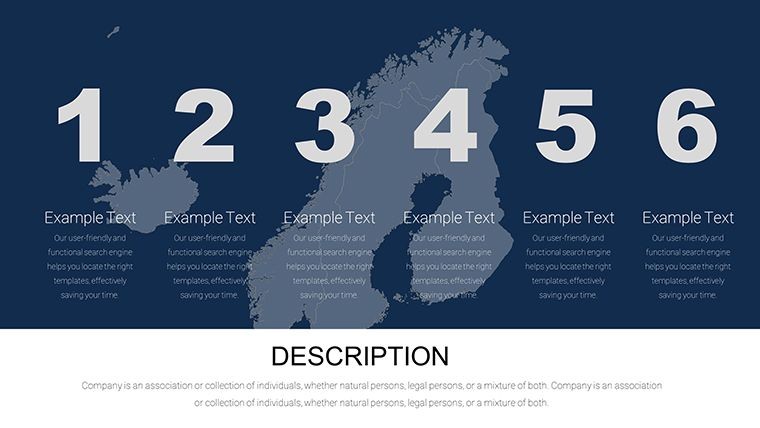
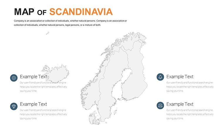
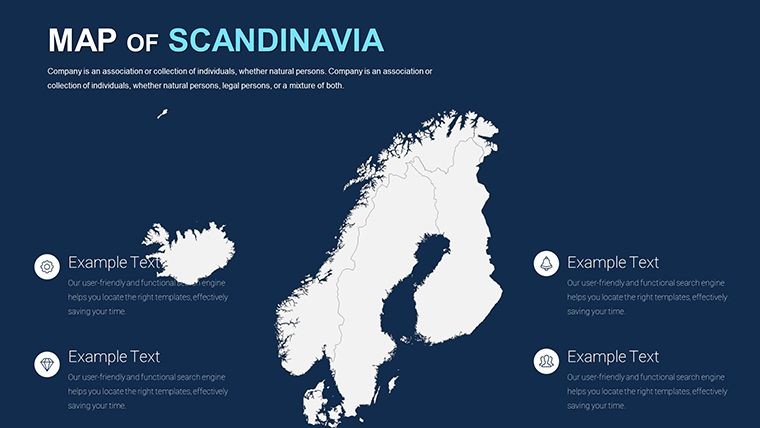
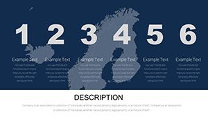
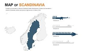
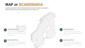
- Fully Editable Slides: 48 slides packed with maps, from overview layouts to detailed close-ups, all ready for your tweaks.
- Vector Icons and PNG Files: Included in the zip download, these assets let you add custom markers for cities, ports, or natural landmarks.
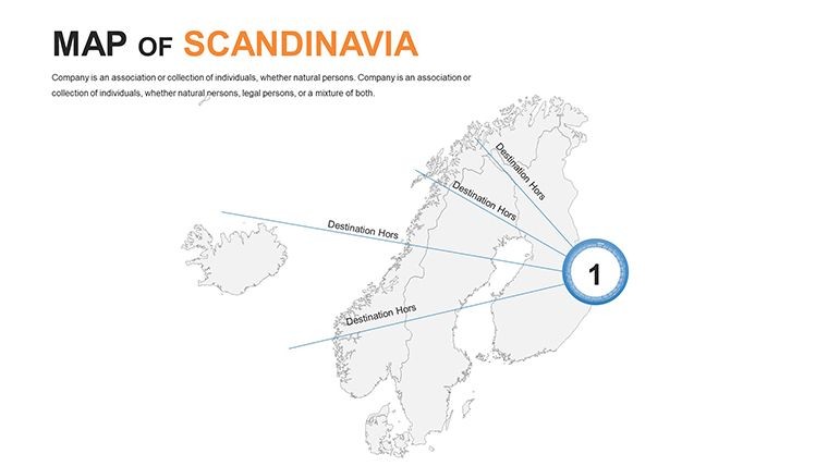
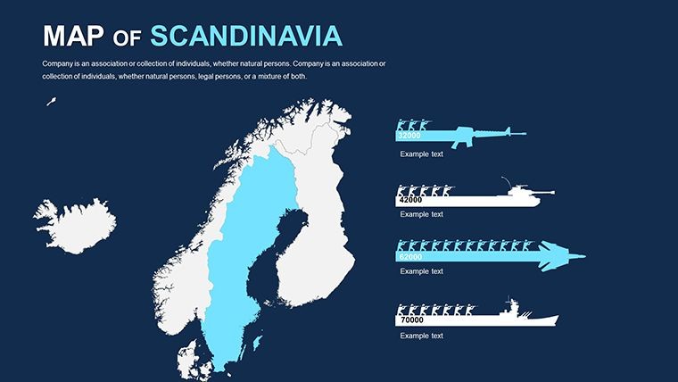
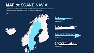
- Custom Animation Support: Animate map elements to unfold stories - ideal for timelines of Viking history or modern sustainability initiatives.
- High-Resolution Quality: Retina-ready for crisp displays on any screen, ensuring your presentations shine in boardrooms or classrooms.
- Easy Integration: Compatible with iWork Keynote on Mac, with no additional software needed.
Beyond these, the template's flexibility shines in real-world applications. For instance, urban planners might use it to visualize infrastructure projects across Scandinavian cities, drawing from real examples like Copenhagen's bike-friendly redesigns that have won international acclaim. By incorporating such case studies, you not only inform but inspire your audience to think bigger.
Real-World Applications: From Education to Enterprise
In the realm of education, this template revolutionizes geography lessons. Teachers can create interactive sessions where students explore Scandinavian topography, labeling mountain ranges like the Scandinavian Mountains or bodies of water such as the Baltic Sea. Add pop-up notations with fun facts - did you know Norway has over 1,000 fjords? - to make learning memorable. Compared to basic Keynote tools, which often require starting from scratch, this pre-built template accelerates preparation, letting educators focus on pedagogy rather than pixels.
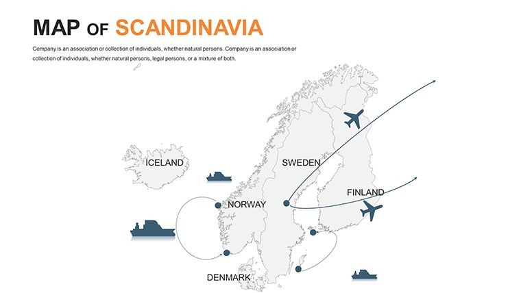
For businesses, it's a game-changer in market entry strategies. Consider a tech firm eyeing expansion into the Nordic tech hubs like Stockholm's Silicon Valley equivalent. Use the maps to plot competitor locations, highlight logistics routes, and overlay data on consumer demographics. A real-world parallel: Companies like IKEA have mastered visual storytelling in their global strategies; with this template, you can emulate that polish, potentially increasing stakeholder buy-in by making abstract concepts tangible.
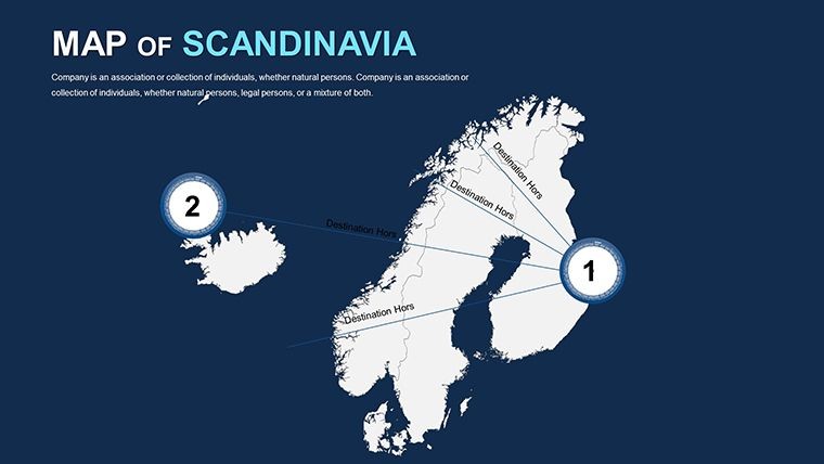
Travel professionals, too, find immense value here. Craft itineraries that visually guide clients through must-see spots, from Oslo's opera house to Denmark's hygge havens. Customize with photos or icons for a personalized touch, turning a simple pitch into an immersive experience that boosts bookings.
Step-by-Step Guide to Maximizing Your Maps
- Download and Import: Grab the .key file and open it in Keynote - it's that simple.
- Customize Colors: Select a region, head to the format panel, and pick hues that match your theme, perhaps cool blues for Nordic winters.
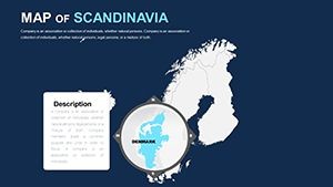
- Add Data and Notations: Insert text boxes for labels or stats, using the included PNG files for icons like windmills or aurora symbols.
- Apply Animations: Use Keynote's build effects to reveal elements sequentially, building suspense in your narrative.
- Export and Present: Share as PDF or present directly, confident in the template's professional edge.
These steps draw from best practices in presentation design, ensuring your output aligns with principles from experts like those at the American Institute of Graphic Arts (AIGA), emphasizing clarity and engagement.
Tips for Seamless Integration and Best Results
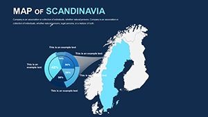
To truly elevate your presentations, pair these maps with complementary data visualizations. For example, integrate charts showing climate patterns alongside geographical layouts, creating a holistic view that's perfect for environmental reports. Remember, consistency is key - stick to a color scheme inspired by Scandinavian minimalism for an authentic feel.
Avoid common pitfalls like overcrowding slides; use the template's clean design to maintain focus. If you're new to Keynote, experiment with the master slides to apply changes globally, saving time on large decks.
In terms of trustworthiness, this template is built on accurate geographical data, akin to sources from reputable atlases, ensuring your presentations stand up to scrutiny in professional settings.
Ready to navigate the Nordic world with confidence? This Scandinavia Keynote Maps Template isn't just a download - it's a gateway to more dynamic, persuasive communication. Customize your vision today and watch your ideas take flight across the Scandinavian horizon.
Frequently Asked Questions
- How editable are the maps in this template?
- All elements are fully customizable, including colors, shapes, and text, with vector quality for lossless scaling.
- Is this compatible with older versions of Keynote?
- Yes, it works with iWork Keynote on Mac, but for best results, use the latest version.
- Can I add my own images or data?
- Absolutely - insert photos, charts, or notations easily to tailor the slides to your needs.
- What file formats are included?
- The download includes .key files, vector icons, and PNGs for versatile use.
- Are animations pre-built?
- Custom animations can be added; the template supports Keynote's full animation suite.