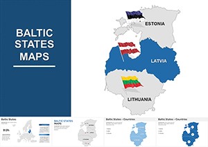
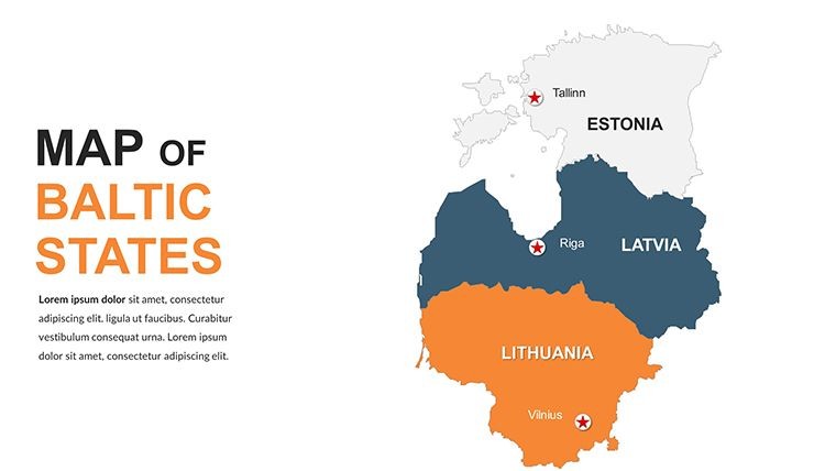
Baltic States Keynote Maps: Navigate Europe's Northern Edge with Design Excellence


Type: Keynote Maps template
Category: Europe
Sources Available: .key
Product ID: KM00056
Template incl.: 40 editable slides
Envision crafting a presentation that seamlessly blends the historic charm of Riga's Art Nouveau district with modern sustainable architecture proposals for Tallinn. For professionals in architecture and regional planning, the Baltic States Keynote Maps template delivers exactly that - a curated set of 40 editable slides tailored for Keynote, empowering you to illustrate cross-border projects with unmatched clarity. This isn't your standard map pack; it's a dynamic resource born from the need to communicate intricate details like coastal erosion defenses in Lithuania or eco-tourism hubs in Estonia, making complex ideas accessible and persuasive.
Whether you're an architect collaborating on EU-funded infrastructure or a designer mapping cultural heritage sites, this template aligns with standards like those from the European Council of Architects, providing tools to showcase site-specific strategies. Compatible with all major Keynote releases, it features intuitive editing that lets you tweak borders, add layered annotations for wind patterns or population shifts, and integrate 3D models effortlessly. Move beyond static visuals; this template transforms your slides into interactive journeys that highlight the Baltic region's unique blend of Baltic Sea influences and inland innovations, ultimately boosting your pitch's conversion rate.
Mastering Geographic Visualization for Baltic-Focused Designs
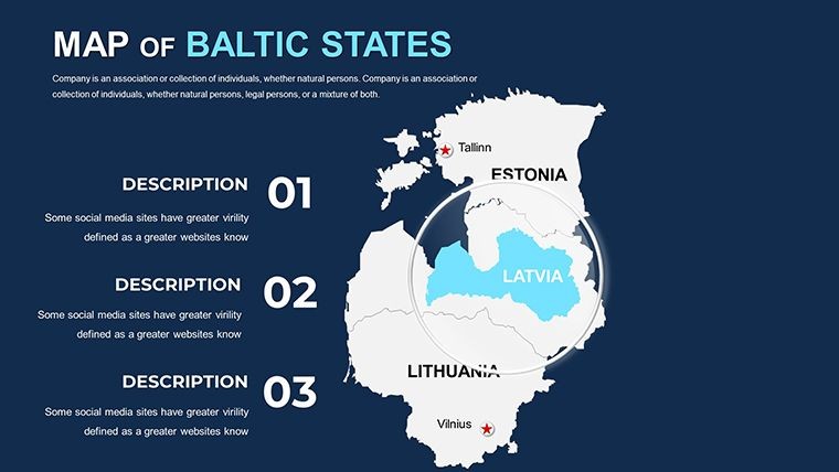
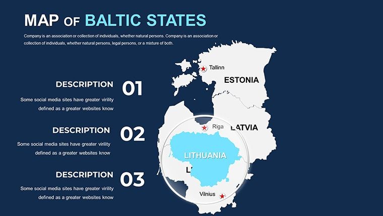
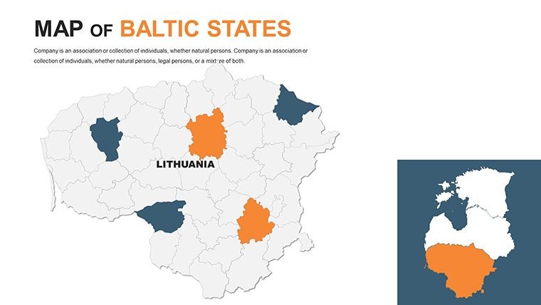
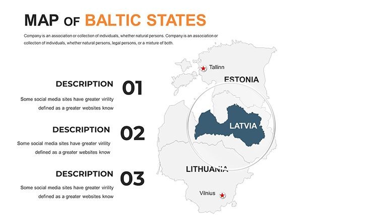
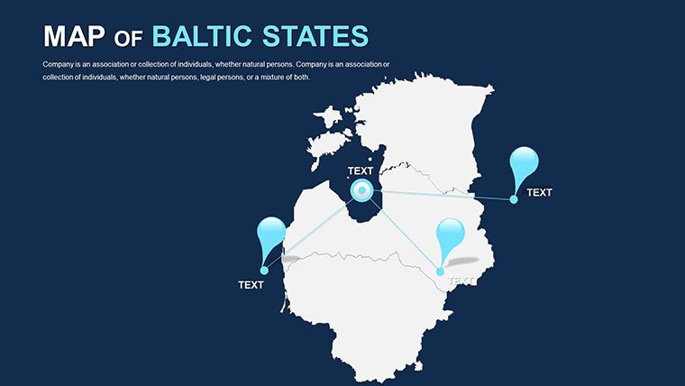
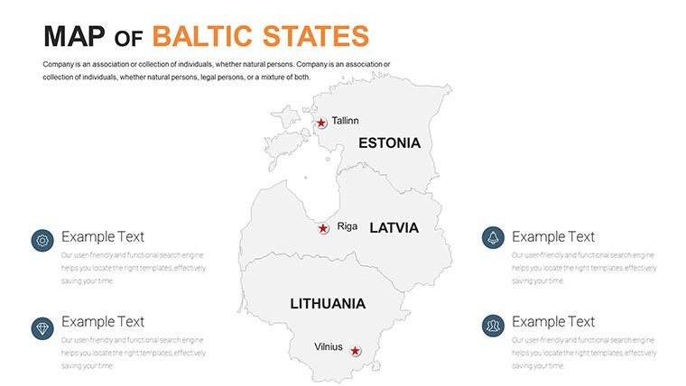
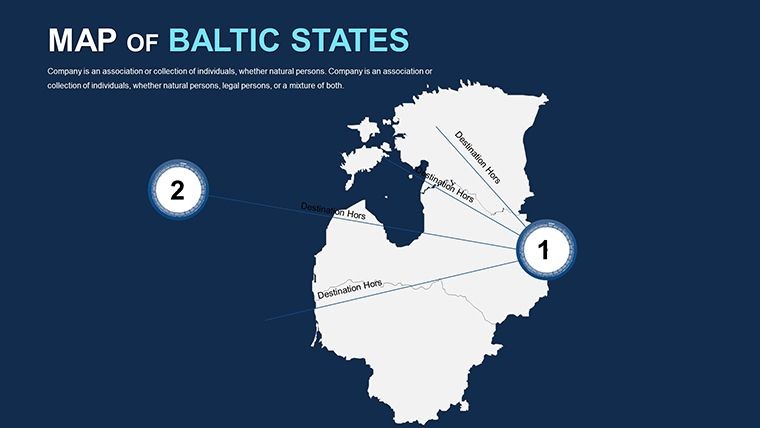
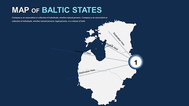
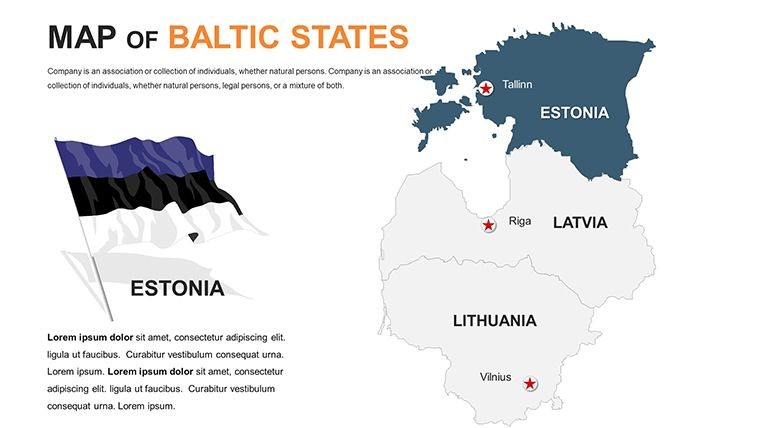
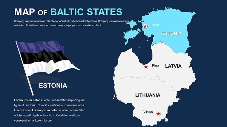
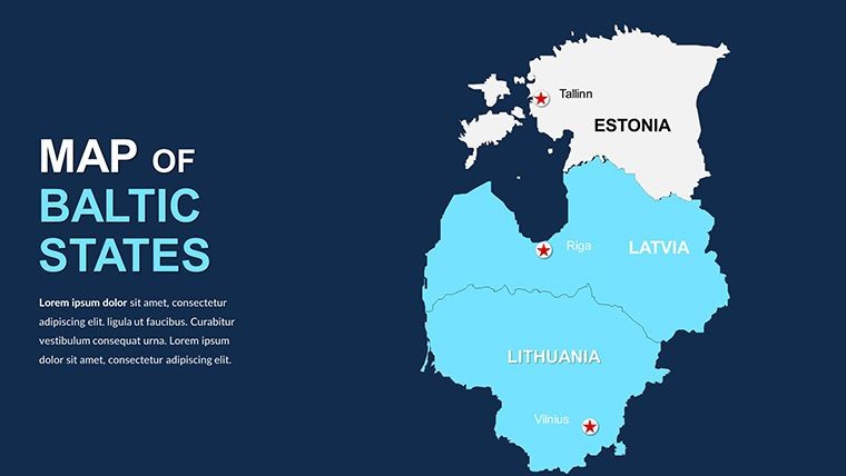
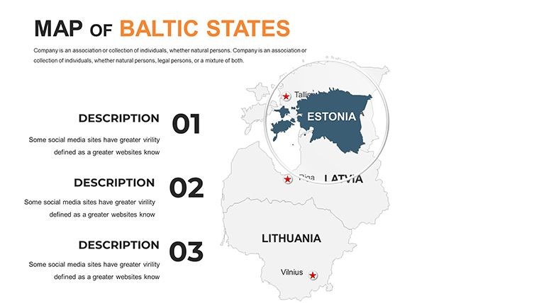
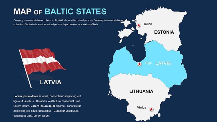
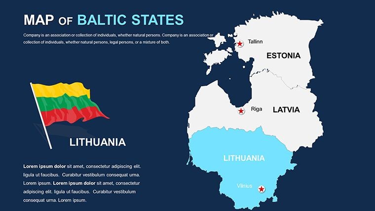
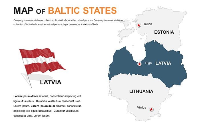
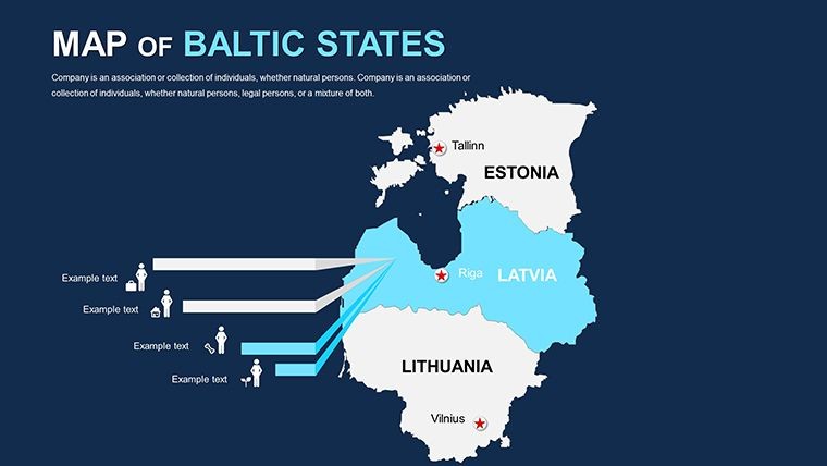
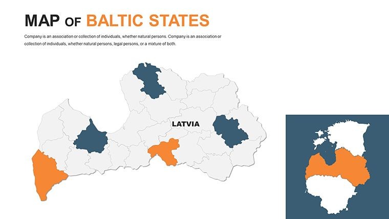
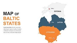
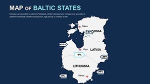
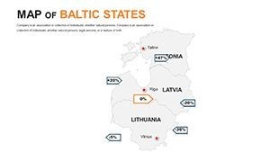
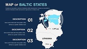
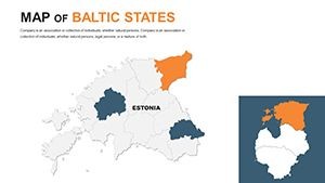
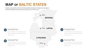
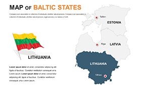
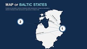
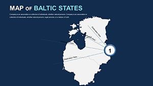
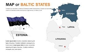
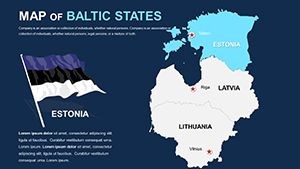
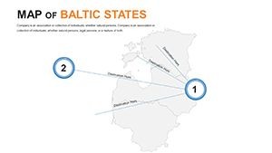
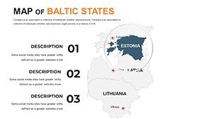
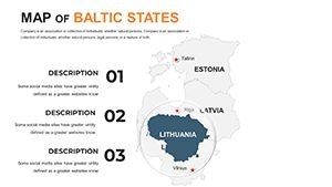
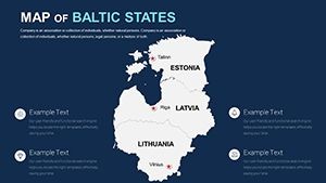
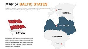
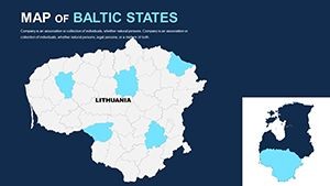
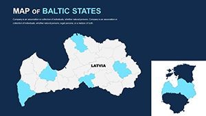
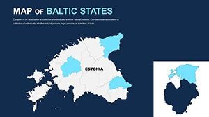
In architecture, where context is king, the Baltic States Keynote Maps template stands out by offering politically accurate, high-fidelity representations of Lithuania, Latvia, and Estonia. Slide 15, for example, provides a customizable political map where you can emphasize capitals like Vilnius for heritage preservation projects. Unlike generic Google Maps embeds that lack polish, these slides use Keynote's native vectors for crisp scaling, ensuring your visuals remain sharp during virtual meetings or large-scale prints.
Draw inspiration from real successes, such as a Latvian firm's use of similar mapping in a Baltic Green Belt initiative, which secured funding by visually linking ecological corridors across borders. The template's clean, modern aesthetic - think minimalist lines echoing Scandinavian design - inspires confidence, while custom animations reveal data progressively, like unveiling transport links from Riga to Tallinn.
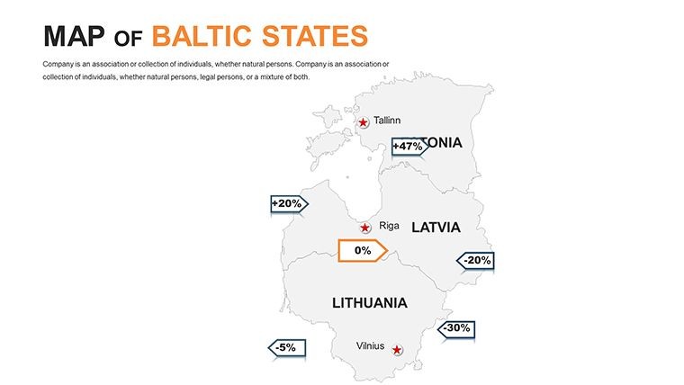
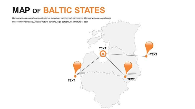
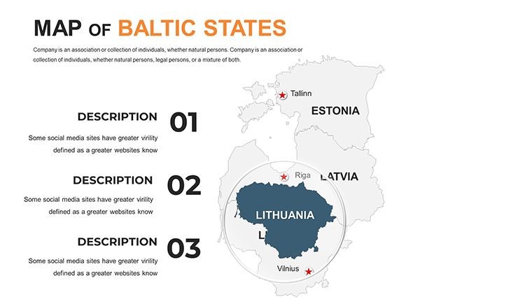
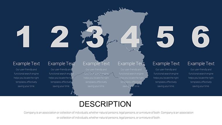
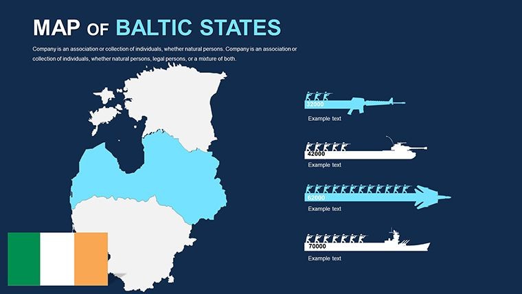
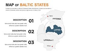
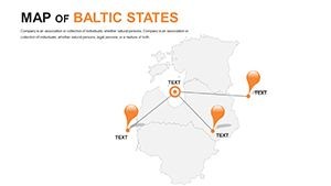
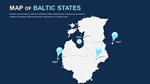
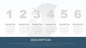
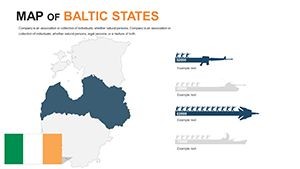
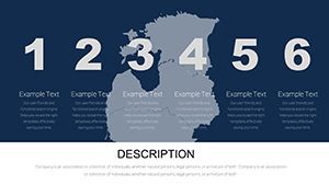
- 40 Tailored Slides: Covering political outlines, city highlights, and thematic infographics for the three Baltic nations.
- Vector Precision: Stretch regions or add labels without distortion, ideal for detailed site analyses.
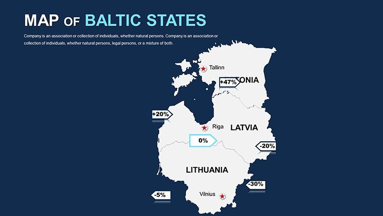
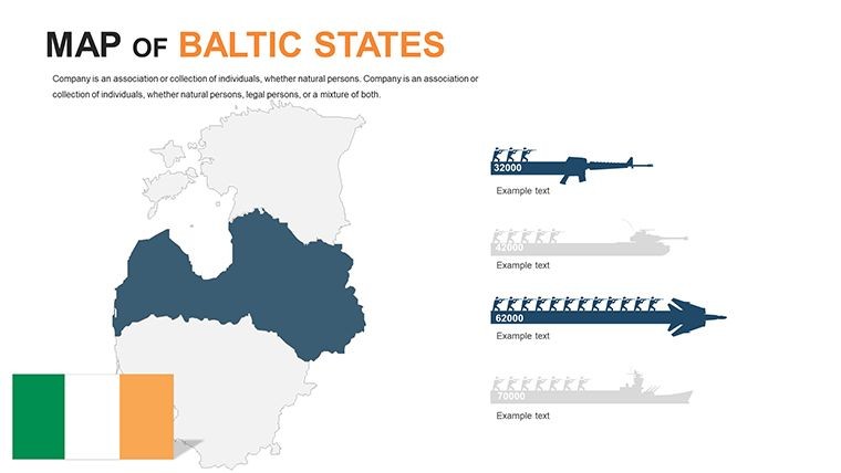
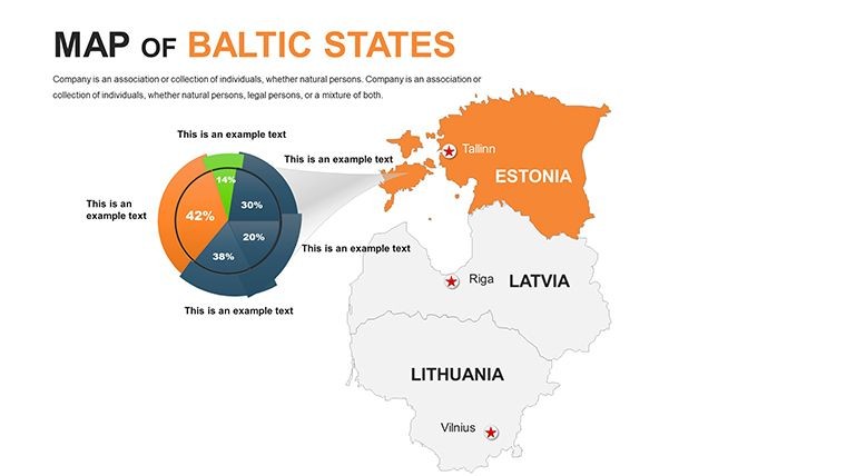
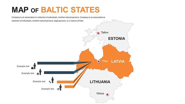
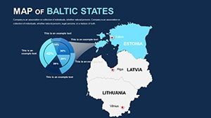
- Infographic Integration: Built-in elements for economic data or climate visuals, enhancing sustainability narratives.
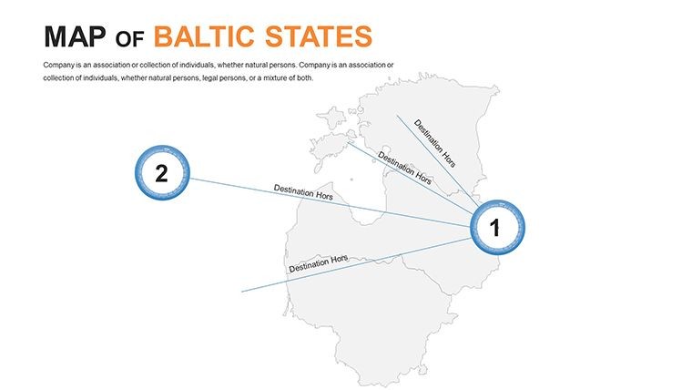
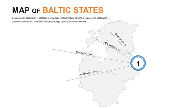
To incorporate into your routine, begin with the template's section breaks to organize your deck - perhaps dedicating slides 20-30 to neighboring country overviews for broader context in trans-Baltic projects. Pro tip: Pair with Keynote's shape tools to create custom flow diagrams overlaying migration routes or energy grids.
Practical Use Cases: Bridging History and Innovation
Take a scenario where an Estonian architect is proposing a waterfront redevelopment in Parnu. Using slide 8's coastal map, they layer proposed pier designs with sea-level rise projections, using color gradients to denote risk zones. This approach not only complies with EU environmental directives but also captivates investors by storytelling through space.
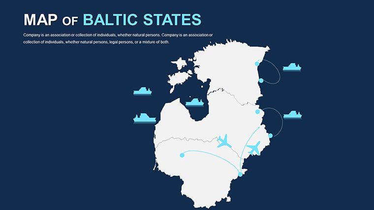
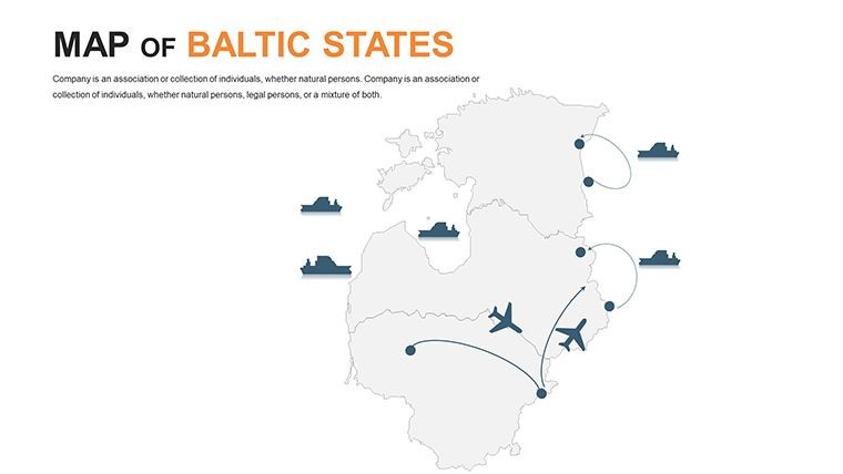
In educational or consulting roles, the template aids in historical overviews - slide 35 details WWII-era borders evolving into modern EU integrations, useful for cultural center pitches. For urban planners, it's a game-changer in visualizing commuter patterns, with editable grids for traffic simulations that far surpass basic charting tools.
- Initial Setup: Import Baltic-specific data from sources like Eurostat into the slides for authentic metrics.
- Enhancement: Adjust fonts and icons to match your firm's branding, ensuring cohesive decks.
- Engagement Boost: Animate paths to simulate project timelines, from concept to completion.
- Refinement: Test on multiple devices for consistent rendering in hybrid environments.
This methodical process ensures your presentations are not only informative but also strategically compelling, often leading to quicker project greenlights.
Key Features That Set Your Designs Apart
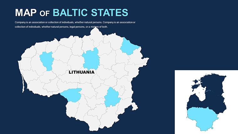
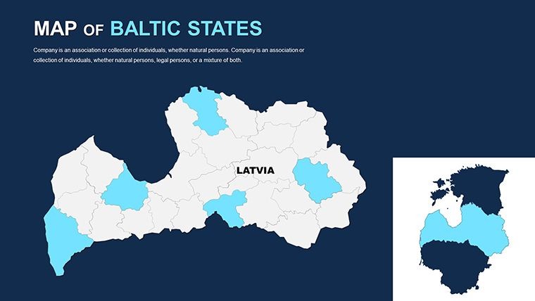
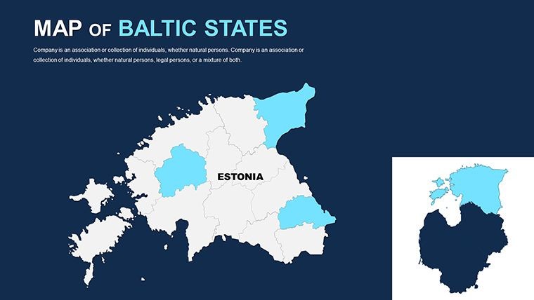
At its core, the 40 slides offer multipurpose versatility. The opening slide introduces the Baltic trio with elegant silhouettes, setting a sophisticated tone. Delve into slides 5-15 for granular views - enlarge Latvia's inland areas for agricultural impact studies or zoom on Estonia's islands for offshore wind farm visuals.
Handcrafted infographics, like pie charts for GDP distribution, integrate flawlessly, and the free fonts keep things professional yet approachable. Documentation guides even novices through edits, such as changing tick marks on axis for precise measurements in architectural scales.
A compelling edge comes from its retina-ready format, perfect for high-stakes venues. In a recent Riga conference, a design team leveraged these maps to pitch a cross-border rail extension, crediting the template's clarity for their standout performance.
Expert Tips to Amplify Your Presentations
Focus on interactivity: Use hyperlinks within maps to jump to detailed renders, creating a non-linear experience. For inclusivity, incorporate alt-text equivalents in notes for screen readers. And for flair, experiment with subtle textures mimicking Baltic amber hues.
Don't wait - dive into the Baltic States Keynote Maps template and chart a course to presentation mastery.
Frequently Asked Questions
How editable are the Baltic States maps?Fully editable vectors allow changes to colors, shapes, and labels, perfect for tailoring to specific architectural needs.
Does it include neighboring country details?Yes, slides cover adjacent areas like Russia and Poland for comprehensive regional planning views.
Is this template suitable for educational architecture talks?Absolutely, with clear visuals for teaching urban evolution in the Baltics.
What file formats are provided?Native .key files for Keynote, plus export options for broader compatibility.
Can I add 3D elements to the maps?Easily integrate Keynote-compatible 3D models for enhanced depth in site visualizations.