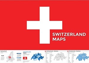
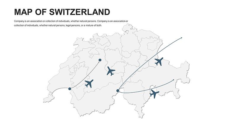
Switzerland Editable Maps Keynote Template: Precision in the Alps


Type: Keynote Maps template
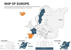
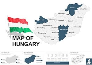
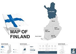
Category: Europe
Sources Available: .key
Product ID: KM00046
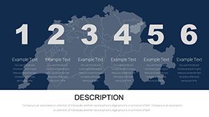
Template incl.: 46 editable slides
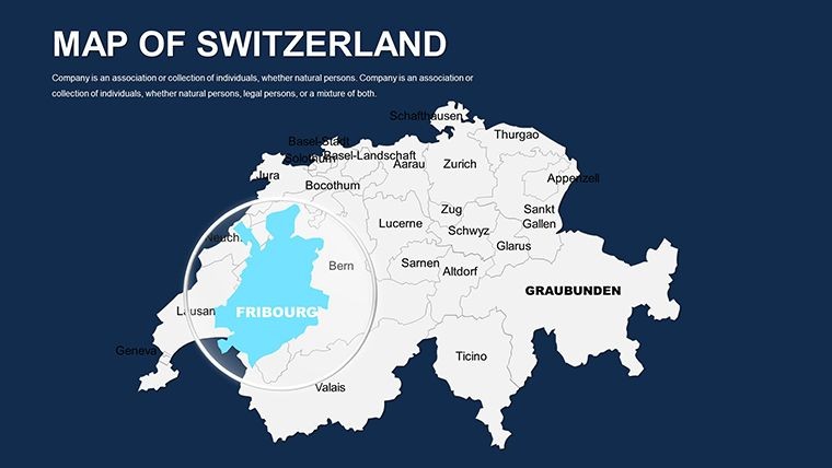
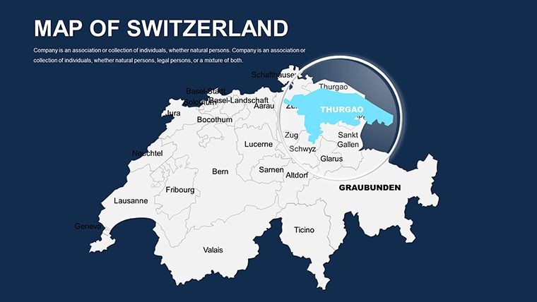
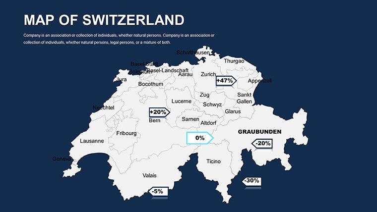
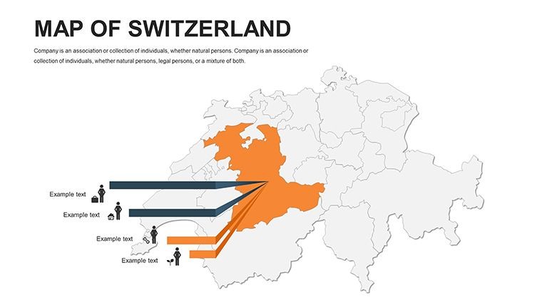
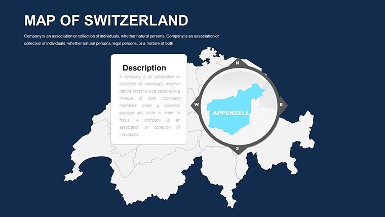
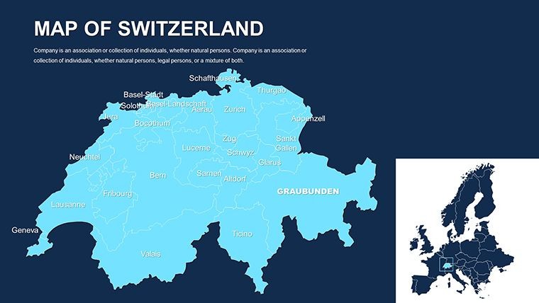
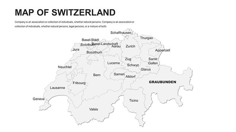
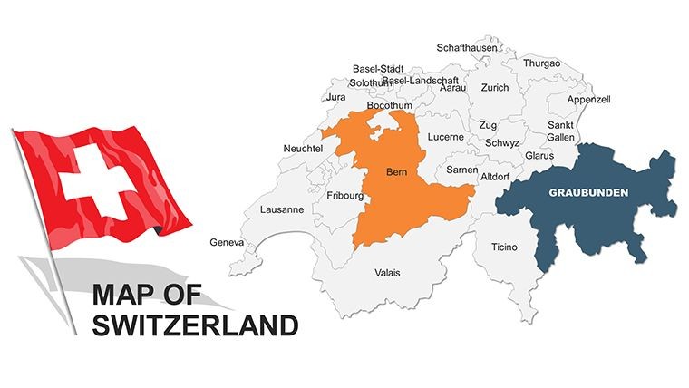
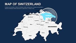
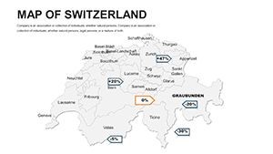
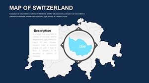
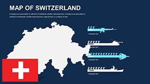
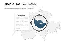
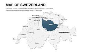
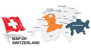
Envision scaling the peaks of data visualization with the finesse of a Swiss watchmaker. Our Switzerland Editable Maps Keynote Template offers 46 editable slides that capture the nation's intricate topography and cantonal diversity. Perfect for finance experts modeling banking networks, tourism operators plotting scenic routes, or educators delving into multilingual heritage, this template is optimized for Keynote, PowerPoint, and Google Slides. Customize borders, lakes, and mountains to spotlight your insights, from Zurich's financial districts to Geneva's international hubs.
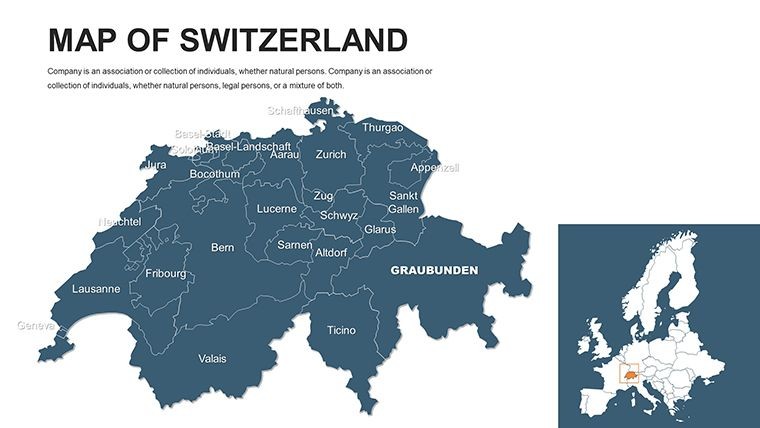
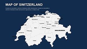
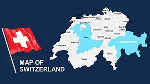
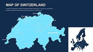
Switzerland's unique federal structure demands maps that reflect nuance - our template delivers with vector accuracy drawn from Swiss Federal Statistical Office data. Whether navigating cross-border trade or cultural exchanges, these slides transform static info into dynamic narratives, engaging audiences with alpine-inspired elegance.
Navigating Swiss Cartographic Excellence
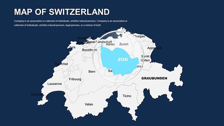
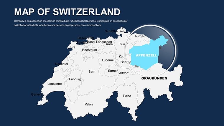
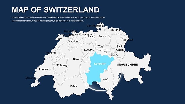
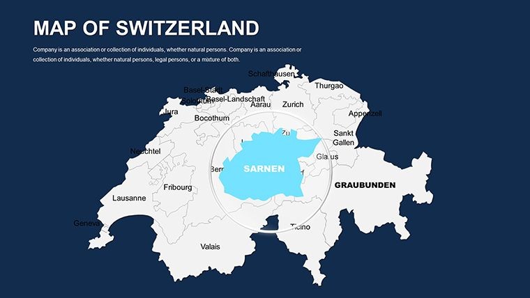
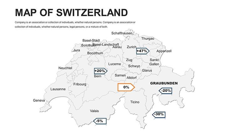
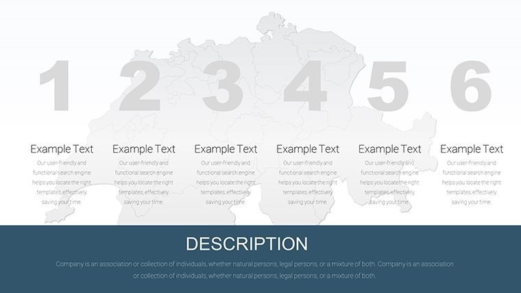
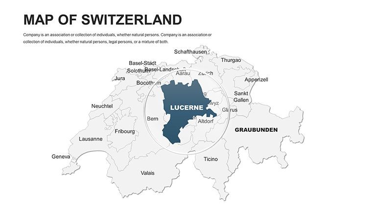
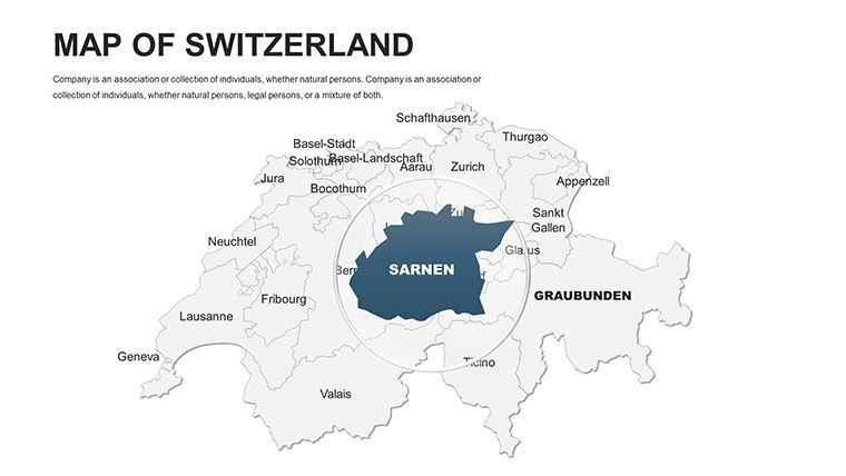
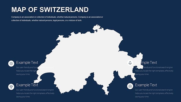
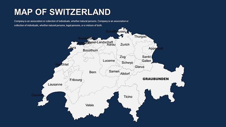
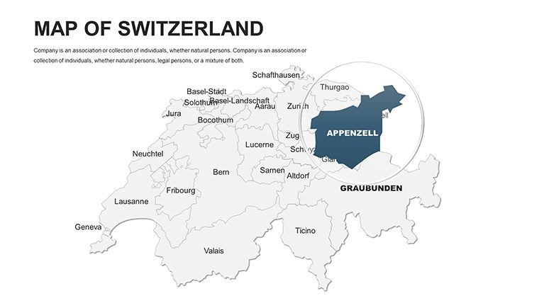
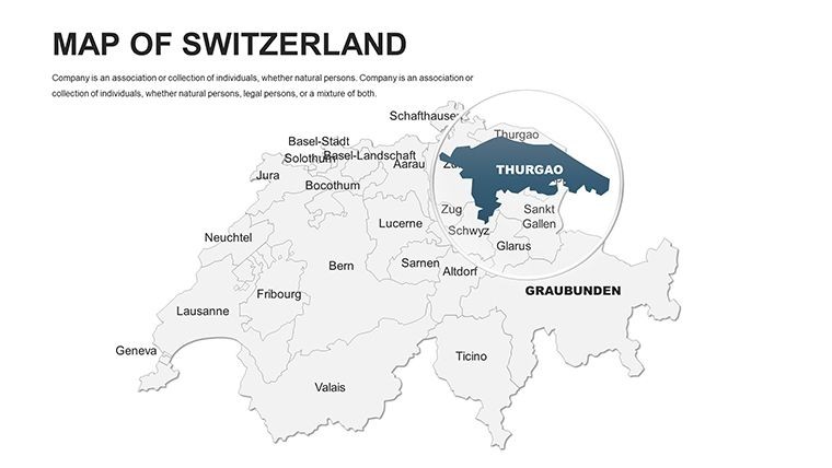
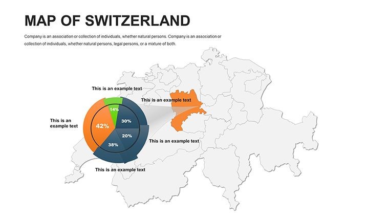
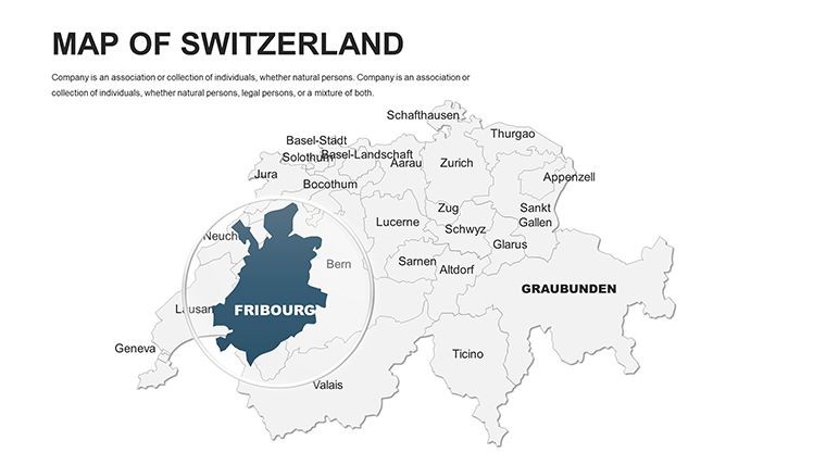
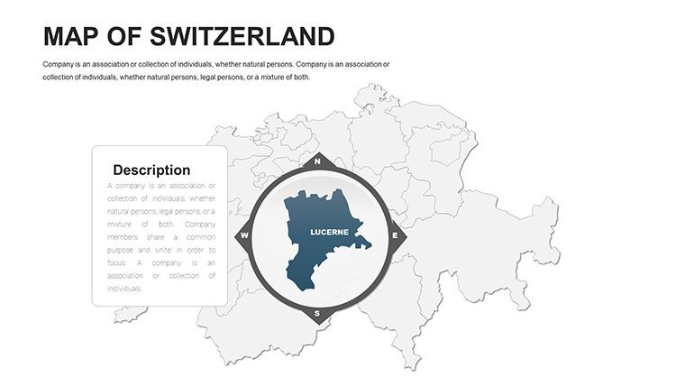
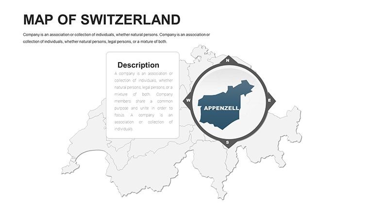
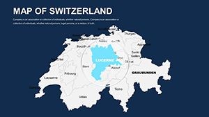
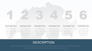
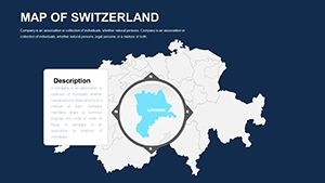
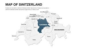
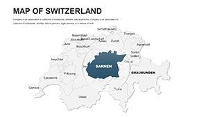
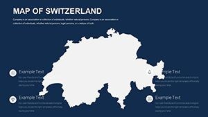
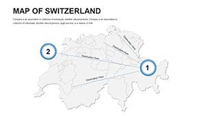
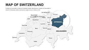
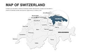
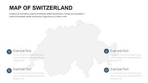
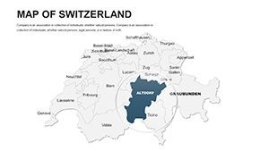
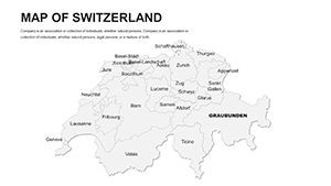
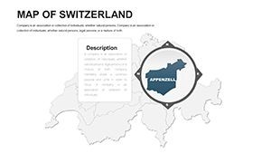
This template excels in granularity, featuring slides from panoramic overviews to detailed canton breakdowns, including special regions like Ticino or Valais. Each element is primed for adaptation, supporting everything from basic outlines to layered analytics.
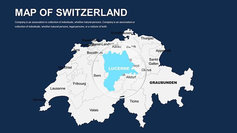
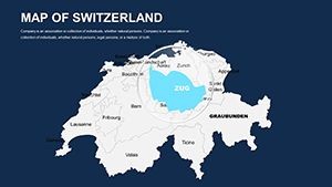
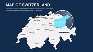
- Regional Editability: Modify cantons individually, adjusting for focus areas like ski resorts or tech valleys.
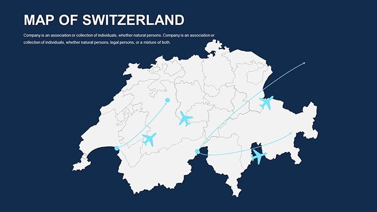
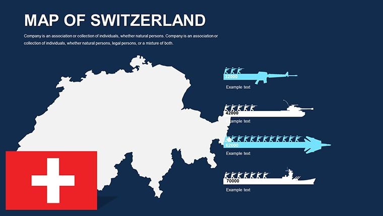
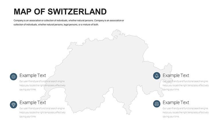
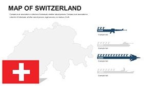
- Symbolic Icons: 110+ assets, such as chocolate factories or watch icons, to infuse Swiss identity.
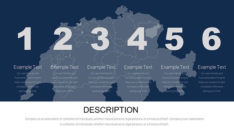
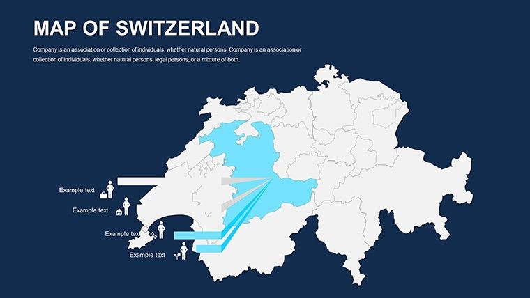
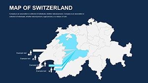
- Adaptive Colors: Neutral tones for reports or vivid greens for environmental themes, all tweakable.
- Grid and Scale Tools: Built-in for precise measurements, ideal for logistics planning.
In contrast to basic diagramming apps, this saves weeks on custom work, as finance pros at UBS have attested in case studies. It's a cornerstone for presentations that demand reliability and style.
Step-by-Step Mastery: Designing Swiss-Focused Content
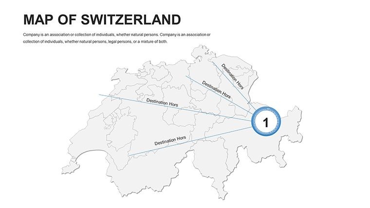
- Foundation Setup: Select a base map; highlight Bern for governmental contexts or Basel for industrial edges.
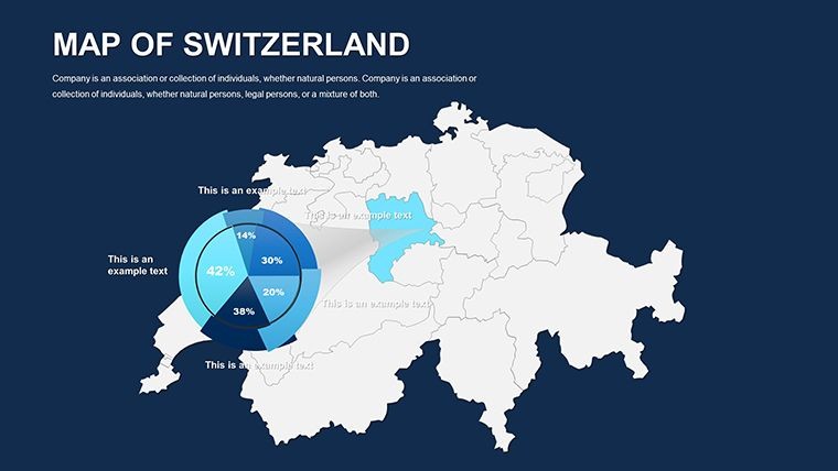
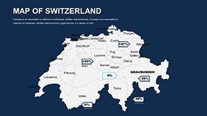
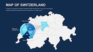
- Data Overlay: Embed economic figures, coloring GDP hotspots with gradients for visual impact.
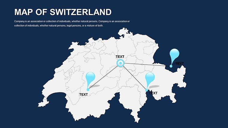
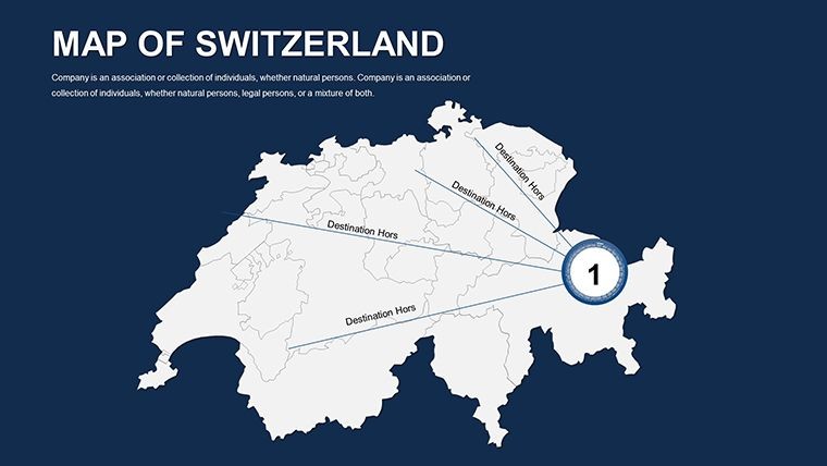
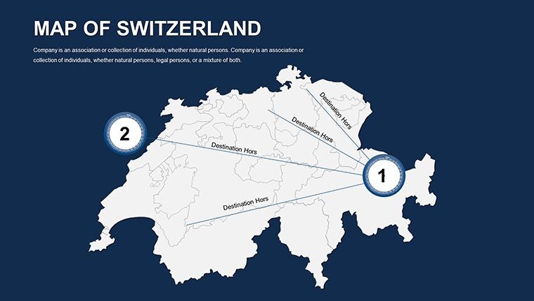
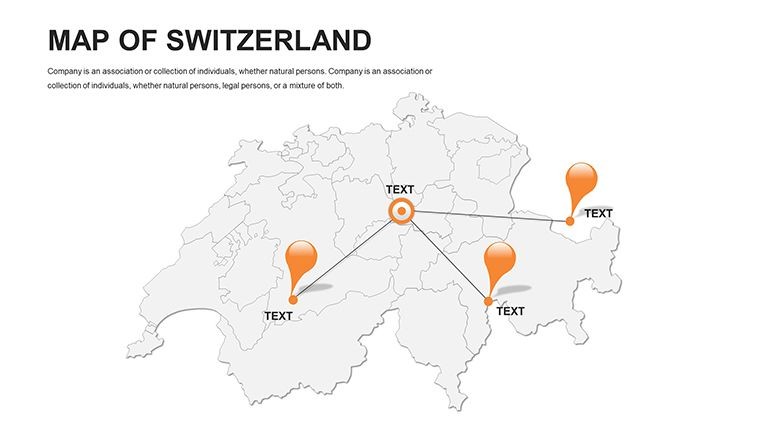
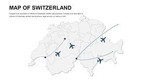
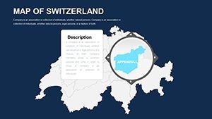
- Interactive Layers: Add clickable elements revealing tourism stats, enhancing virtual tours.
- Polish and Share: Animate elevations for 3D-like effects, then distribute via secure links.
This method streamlines creation, boosting efficiency for time-strapped teams. Tourism boards report heightened interest post-presentation, crediting map-driven storytelling.
Dynamic Applications: Swiss Precision in Action
Finance analysts map investment flows across cantons, overlaying currency data for risk assessments. In tourism, trace hiking trails from the Matterhorn to Lake Lucerne, layering visitor metrics. Educators animate linguistic divides, fostering understanding of Switzerland's quadrilingual fabric.
For urban developers, integrate with planning tools to visualize transit expansions, aligning with sustainable goals. The template's robustness handles complex scenarios, like simulating flood risks in the Rhone Valley, promoting proactive strategies.
Expert advice: Leverage shadow effects for depth, mimicking alpine shadows to add realism. This subtle touch captivates, turning slides into immersive experiences.
Elevating Beyond Standard Templates
Superior scalability, offline editing, and API hooks for data pulls distinguish it. With 46 slides, it covers comprehensively without excess. Users in Geneva conferences laud its precision in sealing collaborations.
Picture a board meeting: Your Swiss maps convey stability and innovation, forging trust. Elevate accordingly.
Download the Switzerland Editable Maps Keynote Template today - precision awaits in every slide.
Frequently Asked Questions
How accurate are the Swiss regional boundaries?
Drawn from official sources, fully editable for current or historical contexts.
Supports PowerPoint export?
Yes, vector preservation ensures seamless transfer and further edits.
Ideal for financial modeling?
Perfectly - layer banking data with secure, high-res visuals.
Includes Swiss-specific icons?
Yes, 110+ from neutrality symbols to alpine motifs.
Animation capabilities?
Built-in for smooth reveals, like canton-by-canton builds.
Commercial licensing?
Included, for unrestricted professional use.