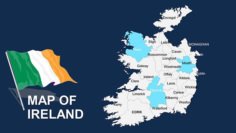
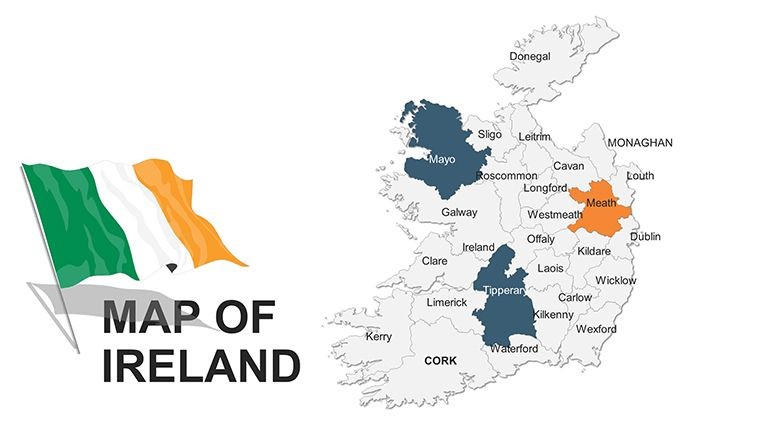
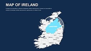
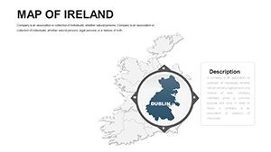
Ireland Editable Keynote Maps Template: Navigating Emerald Isle Insights


Type: Keynote Maps template
Category: Europe
Sources Available: .key
Product ID: KM00044
Template incl.: 44 editable slides
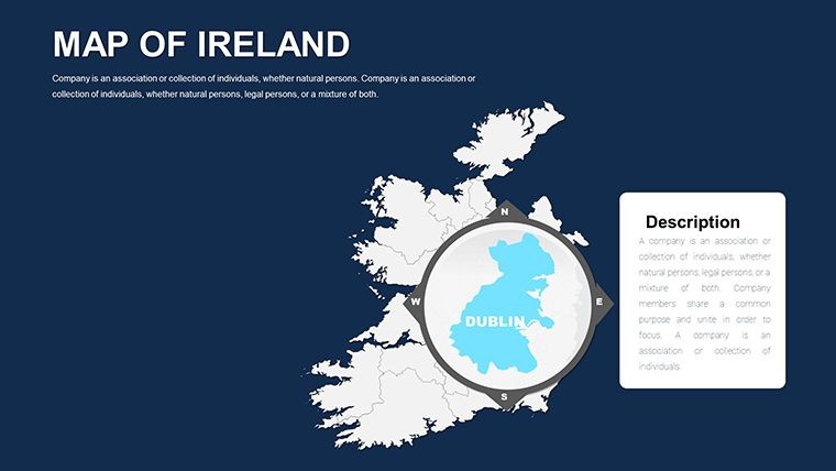
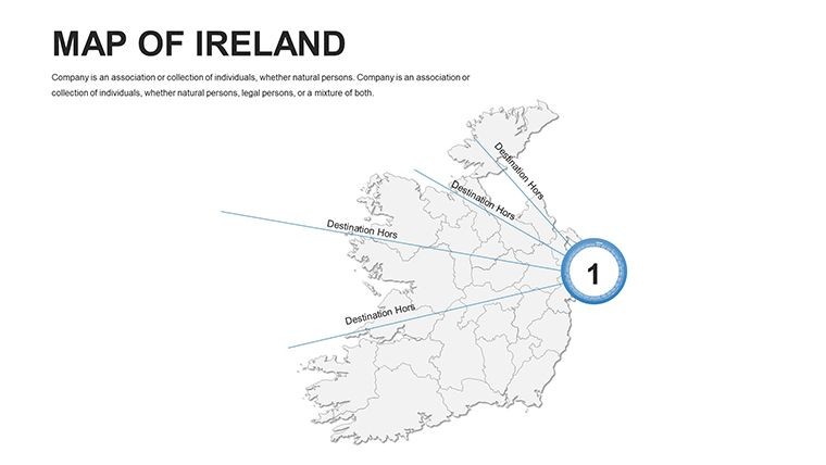
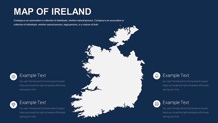
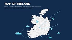
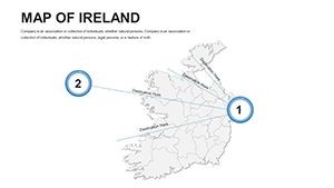
The Emerald Isle's rich tapestry of history, economy, and ecology deserves visuals that match its vibrancy. Our Ireland Editable Keynote Maps Template delivers exactly that with 44 innovative slides, perfect for teachers, economics analysts, and geography enthusiasts mapping out everything from Dublin's urban evolution to the Wild Atlantic Way's environmental wonders. This handcrafted collection turns abstract concepts into accessible stories, aiding in presentations that inform and inspire.
Whether dissecting territorial dynamics post-Brexit or illustrating transport networks across the island, this template supports diverse applications. Optimized for Keynote's creative ecosystem, it features clean, modern designs that adapt to your vision, ensuring professional polish without the design hassle. Join the ranks of educators who've elevated lessons and professionals who've clinched deals using precise, customizable maps.
Key Features That Define Excellence in Irish Mapping
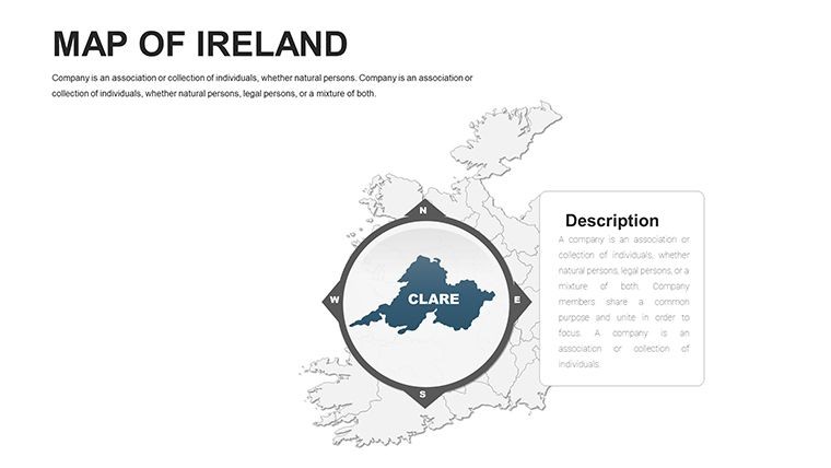
Crafted with attention to Ireland's unique contours - from rugged coasts to inland bogs - this template emphasizes usability and aesthetics. Every slide is a canvas for your data, leveraging Keynote's strengths for fluid edits.
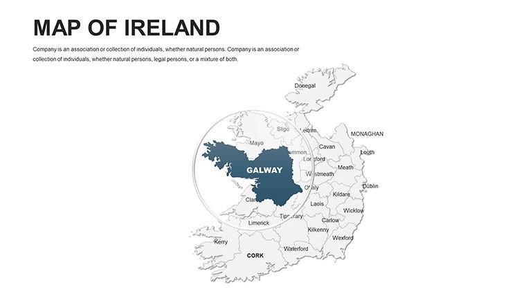
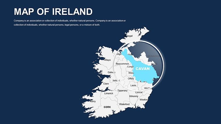
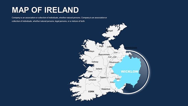
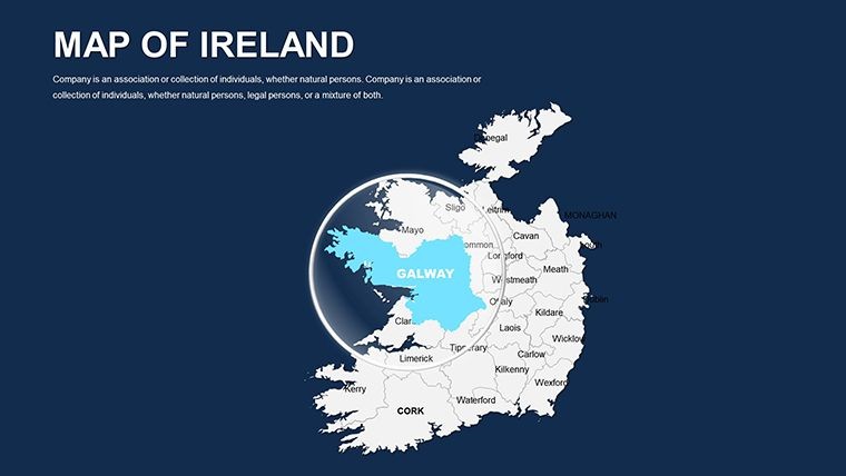
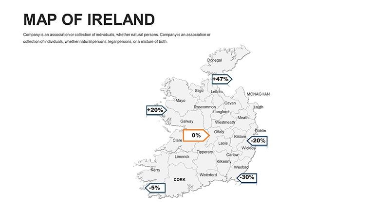
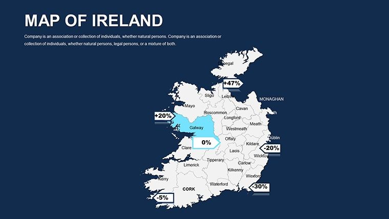
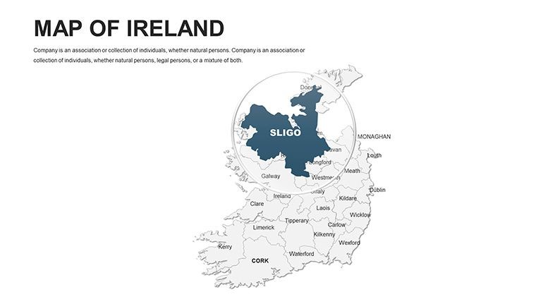
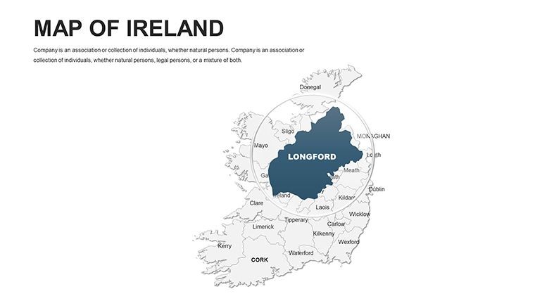
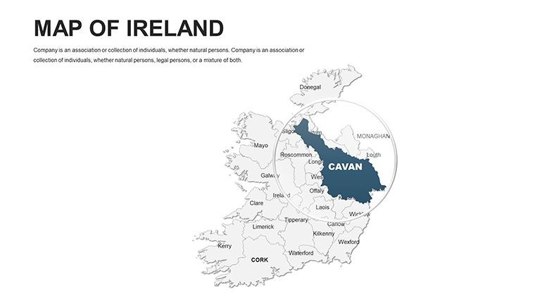
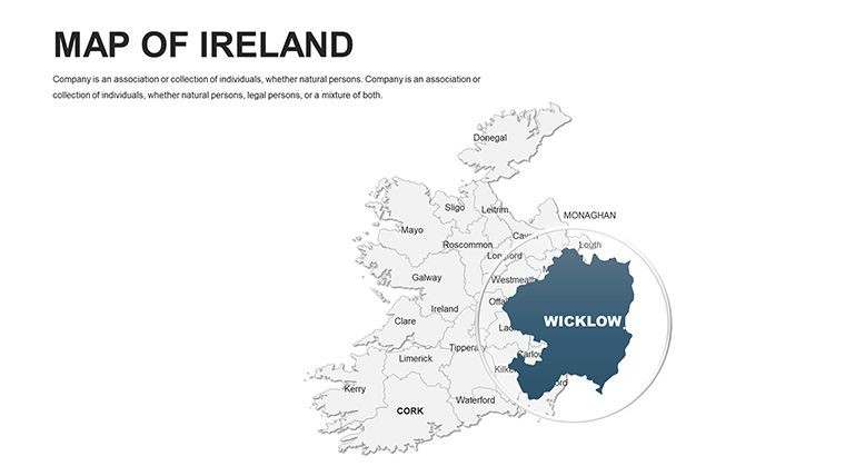
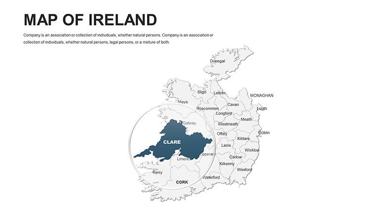
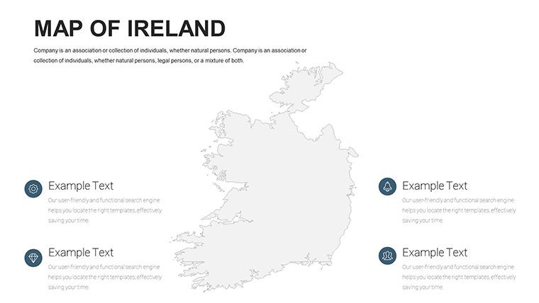
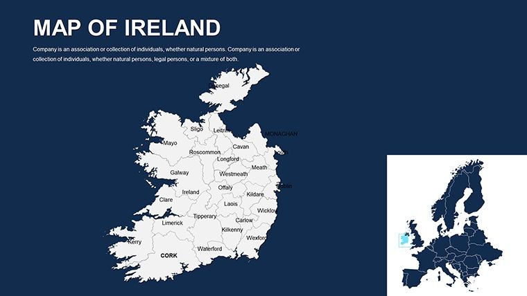
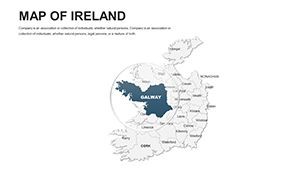
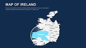
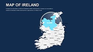
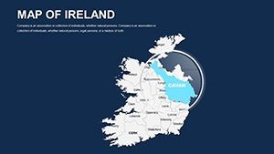
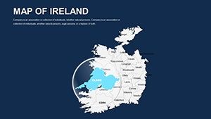
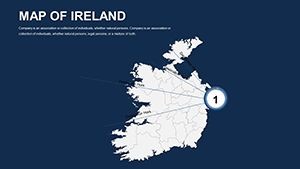
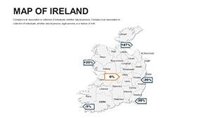
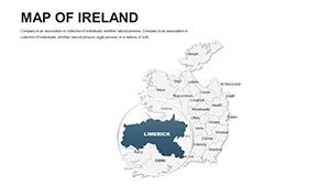
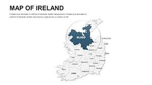
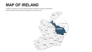
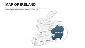
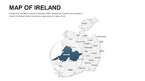
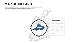
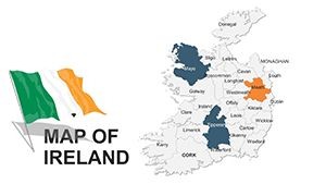
- Vector Precision for Political and Physical Maps: Edit counties like Kerry or Ulster with pinpoint accuracy, altering boundaries or shading for election results or land use studies.
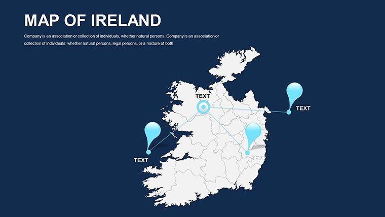
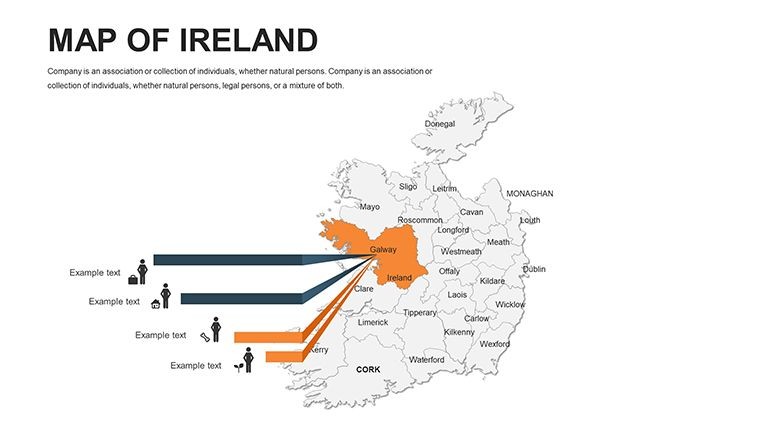
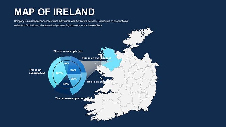
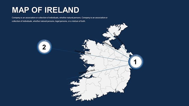
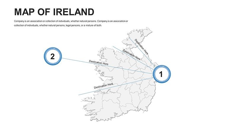
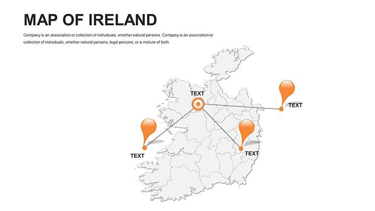
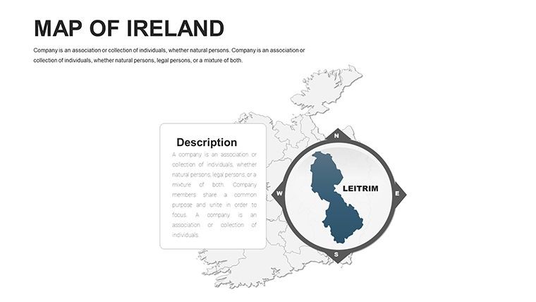
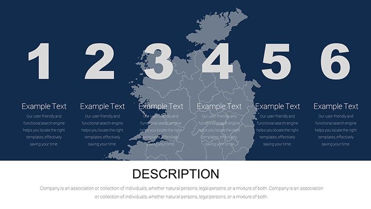
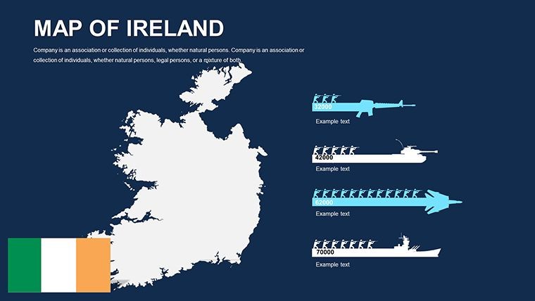
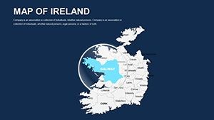
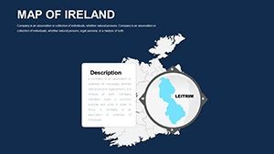
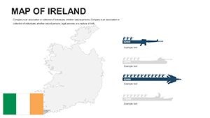
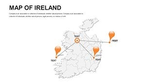
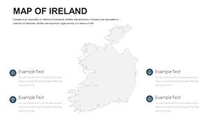
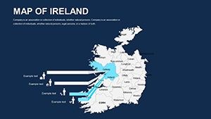
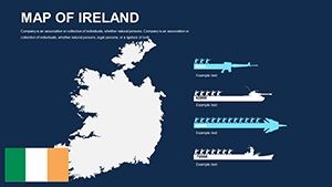
- Custom Animations and Infographics: Animate river flows along the Shannon or reveal economic hubs in Cork, with 40+ handmade icons for Celtic motifs or modern infrastructure.
- Wide-Screen Compatibility: Full HD and Retina-ready, ideal for projecting detailed ecological zones without pixelation.
- Free Font Integration: Modern typography ensures readability, customizable to evoke Irish heritage or corporate sleekness.
These aren't generic; they're informed by real-world needs, like those in EU-funded geography projects, where editable maps have clarified cross-border collaborations.
Streamlining Your Keynote Editing Process
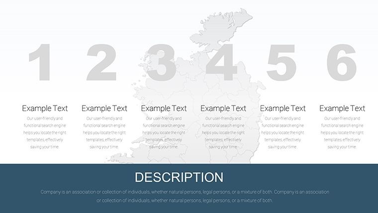
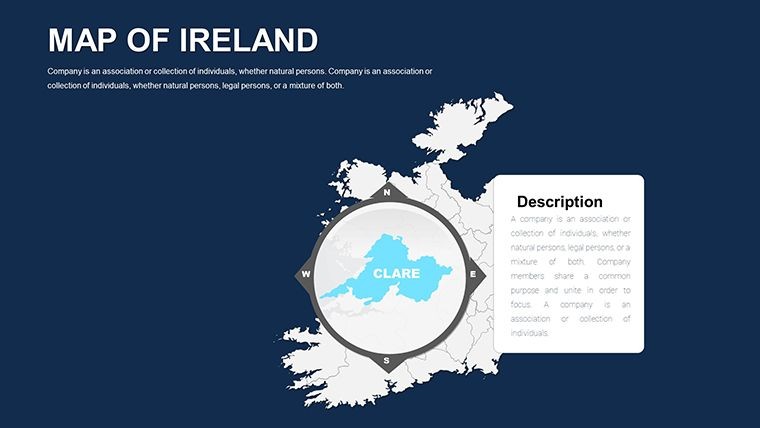
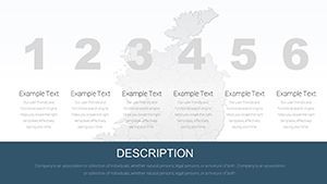
Launch in Keynote and dive into modifications - stretch vectors for inset views of the Giant's Causeway or add grids for demographic analyses. Outperforms basic tools by including section breaks for organized decks, saving time on reformatting.
Targeted Use Cases: From Lecture Halls to Boardrooms
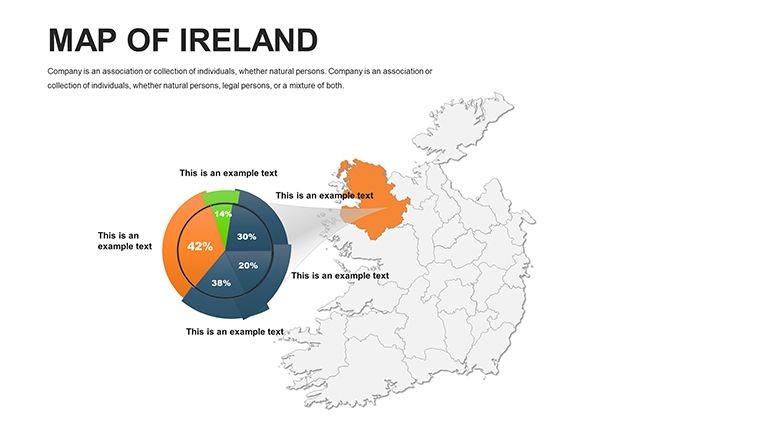
For teachers, slide 18's political map becomes a tool for discussing partition history, layering timelines to engage students. Economics pros can use slide 36 to chart GDP variances between Republic and Northern Ireland, overlaying trade routes for insightful forecasts.
Environmentalists map conservation areas, highlighting peatlands with color gradients to advocate for preservation.
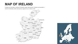
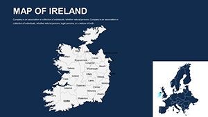
- Geographical Education: Illustrate Ireland's neighborhood - from the Irish Sea to Atlantic influences - fostering global awareness.
- Economic Presentations: Visualize territorial changes, like tech booms in Galway, with data-driven annotations.
- Ecological Overviews: Overlay biodiversity hotspots, aligning with EU Green Deal initiatives for policy pitches.
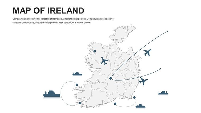
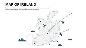
- Transport Planning: Trace rail and road networks, simulating expansions for urban mobility studies.
In one instance, a Belfast university lecturer employed similar maps for a seminar on sustainable tourism, boosting student comprehension by 40% through interactive visuals.
Expert Tips for Customization Mastery
Begin with theme selection: Minimalist for academic papers, vibrant for cultural events. Utilize quick guides for animation syncing, ensuring flows that mirror Ireland's rhythmic landscapes. Share via cloud for collaborative tweaks on event mappings.
Empower your narrative with this tool. Acquire the Ireland Editable Keynote Maps Template immediately and infuse your work with authentic detail.
Edges Over Conventional Maps
Unlike static images, this offers dynamic edits and updates for current events like 2025 climate accords. It's a testament to innovative design, prioritizing user trust through quality.
Craft narratives that resonate. Download today and explore Ireland's depths.
FAQ
Are the Ireland maps fully editable?
Yes, vectors allow modifications to colors, sizes, and elements like regions without quality degradation.
How can teachers use this template?
For interactive lessons on politics, economy, or ecology, with animations to engage learners.
What animations are included?
Custom per object, like revealing map layers sequentially for step-by-step storytelling.
Is it suitable for economic analyses?
Perfectly, with tools for overlaying data on territorial and transport maps.
Does it support wide-screen presentations?
Yes, optimized for widescreen, Full HD, and Retina for professional displays.