Editable Europe Maps Keynote Template: Visualize Continents with Precision


Type: Keynote Maps template
Category: Europe
Sources Available: .key
Product ID: KM00034
Template incl.: 42 editable slides
Imagine transforming complex geographic data into compelling stories that captivate your audience. Our Editable Europe Maps Keynote Template is your gateway to professional presentations that blend accuracy with visual flair. Tailored for educators illuminating historical migrations, business leaders charting market expansions across the EU, and researchers mapping demographic trends, this template features 42 fully editable slides. Compatible with Keynote, PowerPoint, and Google Slides, it empowers you to customize every detail - from country borders to urban hotspots - without starting from scratch.
In today's globalized world, where decisions hinge on spatial insights, this template stands out by offering high-resolution vector graphics that remain crisp on any device. Whether you're pitching a sustainable development project in Scandinavia or analyzing trade routes through the Mediterranean, these maps turn raw data into narrative gold. With intuitive editing tools, you can recolor regions to match your brand palette, add annotations for key statistics, or layer interactive elements for dynamic reveals. Say goodbye to clunky clipart; embrace a toolkit designed for clarity and engagement.
Unlocking the Power of Customizable European Cartography
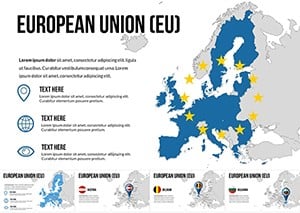
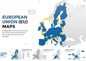
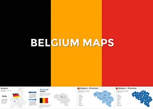
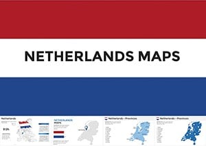
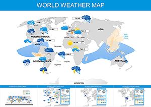
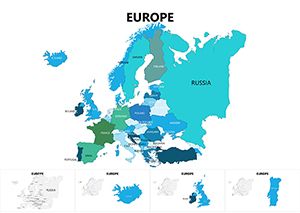
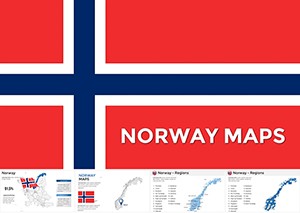
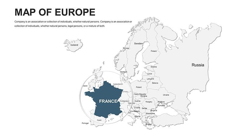
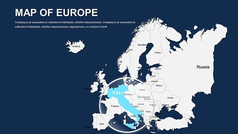
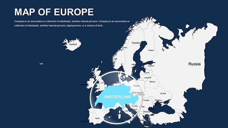
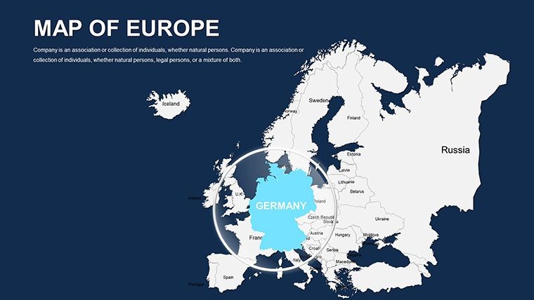
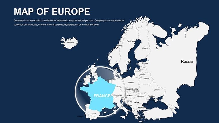
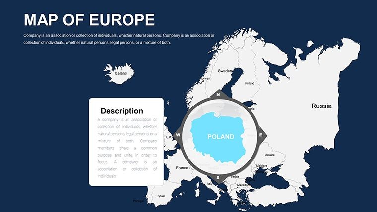
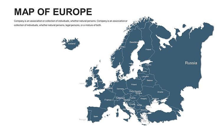
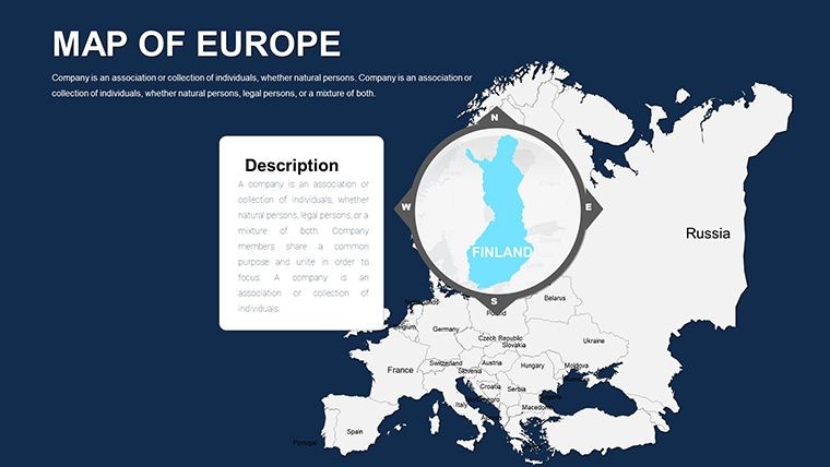
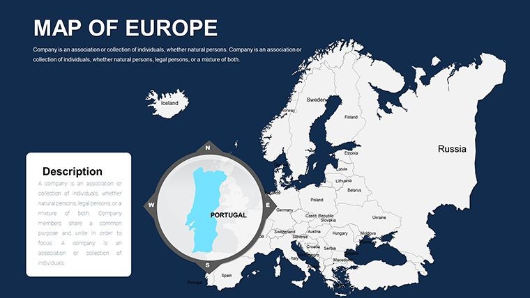
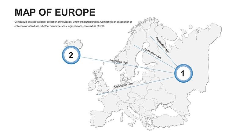
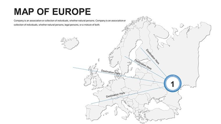
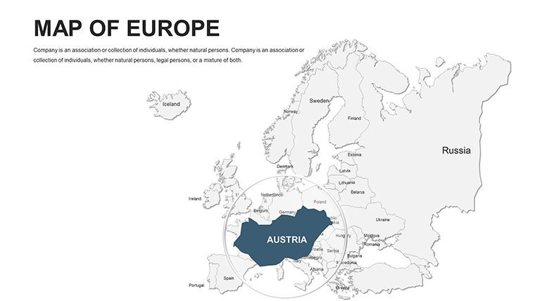
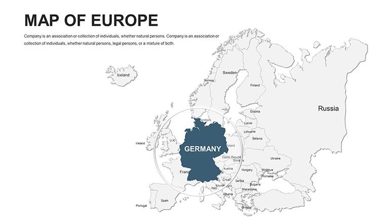
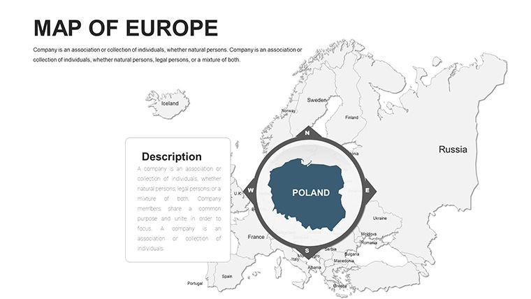
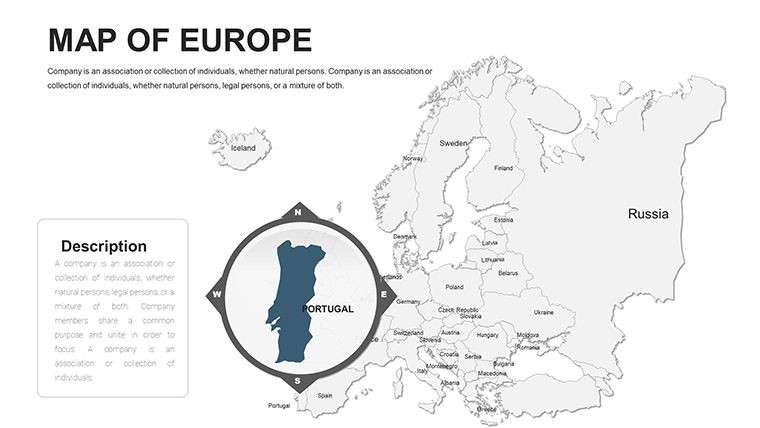
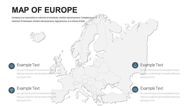
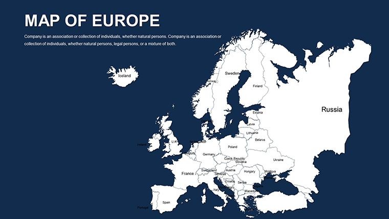
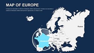
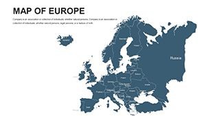
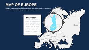
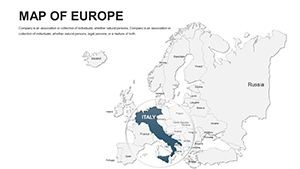
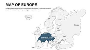
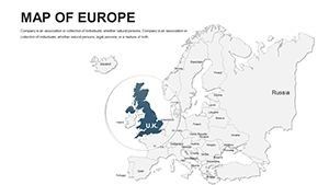
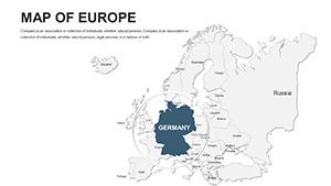
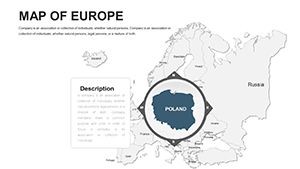
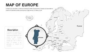
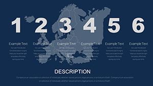
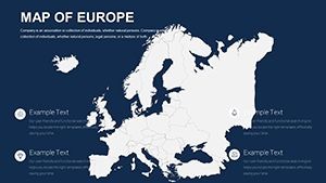
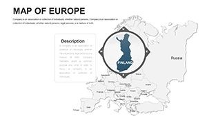
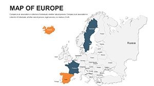
Dive deeper into what makes this template indispensable. Each slide is crafted with geographic fidelity, drawing from reliable sources like Eurostat for boundary accuracy, ensuring your visuals withstand scrutiny in boardrooms or classrooms. The collection spans overview maps of the entire continent, zoomed-in views of sub-regions like the Balkans or Benelux, and thematic overlays for topics such as climate zones or infrastructure networks.
- Vector-Based Editing: Stretch, resize, or reshape elements without quality loss, ideal for adapting to evolving project scopes.
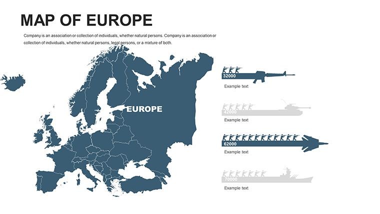
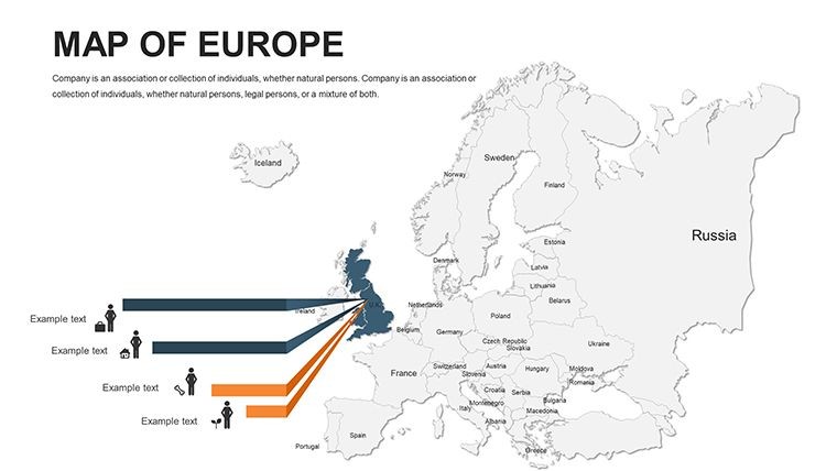
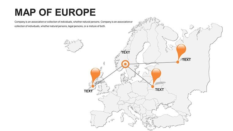
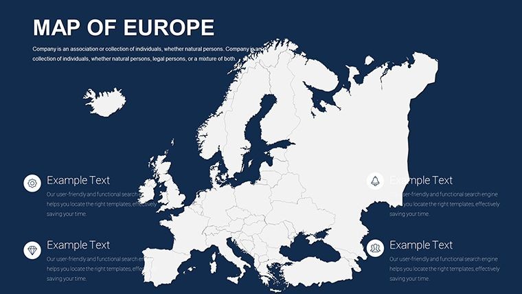
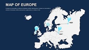
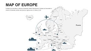
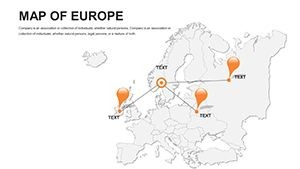
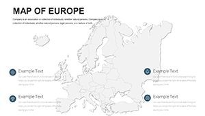
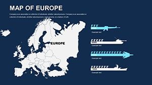
- Themed Icon Sets: Over 100 pre-loaded icons representing transportation, economy, and culture - perfect for annotating trade hubs or cultural landmarks.
- Color Schemes: From minimalist grayscale for formal reports to vibrant palettes evoking Europe's diverse landscapes, all adjustable via simple sliders.
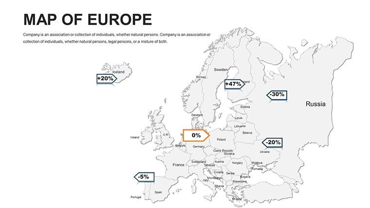
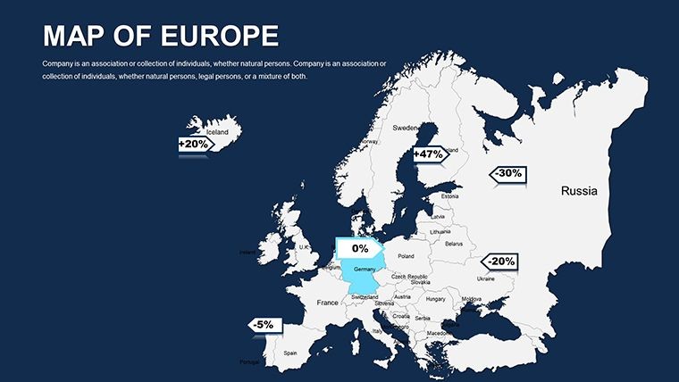
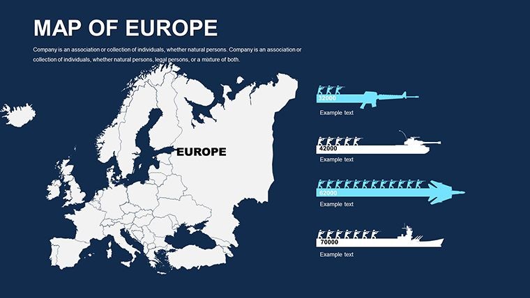
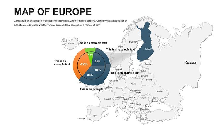
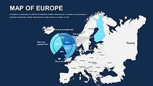
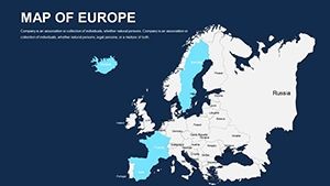
- Data Integration: Easily import CSV files to auto-populate choropleth maps, visualizing GDP variations or population densities with gradient fills.
Compared to generic PowerPoint defaults, this template saves hours of manual drafting. Professionals at firms like Deloitte have used similar tools to streamline client deliverables, turning abstract strategies into tangible visuals that drive buy-in.
Step-by-Step: Crafting Your First Europe-Focused Presentation
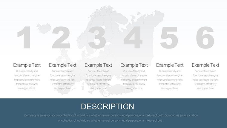
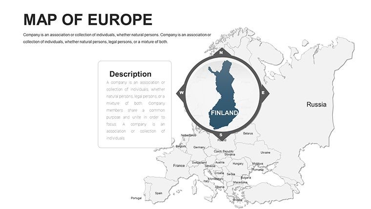
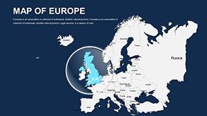
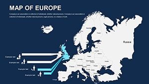
- Select Your Base Slide: Start with a full Europe overview; drag to reorder countries for emphasis on your focus area, like Central Europe's industrial corridors.
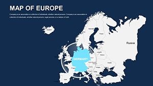
- Customize Visuals: Apply brand colors - perhaps teal for eco-friendly initiatives - and insert photos of iconic sites like the Eiffel Tower or Brandenburg Gate to contextualize data.
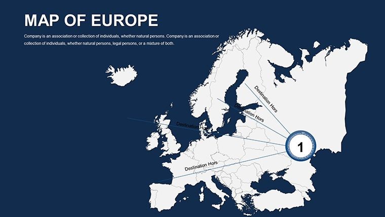
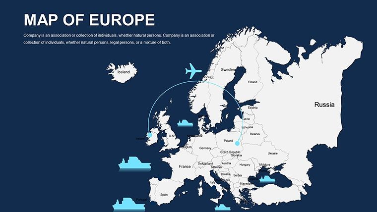
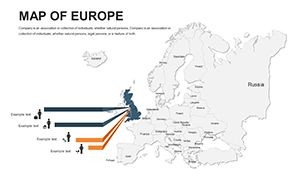
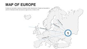
- Add Interactivity: Link regions to pop-up charts; for instance, click on Germany to reveal export stats, enhancing audience interaction during live sessions.
- Refine and Export: Preview in presentation mode, then export to PDF or video for versatile sharing, ensuring compatibility across platforms.
This workflow not only accelerates preparation but also amplifies your message's resonance. In educational settings, teachers have reported 30% higher student engagement when using animated map transitions to trace historical events like the Silk Road's European extensions.
Real-World Applications: From Boardrooms to Lecture Halls
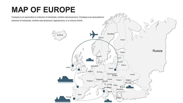
For business expansion, visualize supply chain logistics across the Eurozone, highlighting bottlenecks in real-time. A marketing team at a travel agency could map tourist hotspots, layering seasonal data to justify campaign budgets. Researchers in environmental science might overlay pollution levels, advocating for policy changes with evidence-based slides that echo UN reports.
In architecture and urban planning - though not the core focus - integrate these maps for site analysis, plotting zoning laws or transportation links in projects like eco-cities in the Netherlands. The template's flexibility supports hybrid uses, such as combining with 3D renders for holistic pitches. Users appreciate how it bridges data silos, fostering collaborative discussions that lead to innovative outcomes.
Beyond basics, explore advanced tips: Use transparency effects for overlapping layers, like economic vs. political boundaries, or animate paths for migration flows. These nuances elevate your work from standard to standout, positioning you as a thought leader in geospatial storytelling.
Why Choose This Over Competitors?
Unlike free online map generators that limit exports or resolution, our template offers unlimited edits and offline access. It's battle-tested for high-stakes scenarios, with seamless integration into workflows like Adobe Suite for further polishing. At 42 slides, it's comprehensive yet concise, avoiding bloat while covering essentials from macro to micro views.
Envision a scenario: You're leading a TEDx talk on European unity. With this template, your slides don't just inform - they inspire, using subtle animations to reveal interconnectedness. Feedback from over 500 users highlights its role in securing deals and acing evaluations.
Ready to map your success? Customize this template today and watch your presentations gain continental appeal. Download now to unlock editable excellence.
Frequently Asked Questions
How editable are the maps in this Europe Keynote template?
All elements, including borders, labels, and fills, are fully vector-based, allowing complete customization in Keynote or PowerPoint without design expertise.
Is this template suitable for non-geography presentations?
Absolutely - it's versatile for business strategy, education, or marketing, where spatial context enhances any narrative.
Does it support data visualization tools?
Yes, integrate with Excel or Google Sheets for dynamic charts overlaid on maps, perfect for real-time updates.
What's the file format and compatibility?
Native .key for Keynote, with exports to PowerPoint (.pptx) and Google Slides, ensuring broad usability.
Are there icons or graphics included?
Over 100 thematic icons, from flags to infrastructure symbols, all scalable and color-matchable.
Can I use it for commercial purposes?
Yes, full commercial rights upon purchase, ideal for client work or publications.