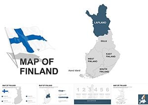
Editable Finland Map Keynote Template: Visualize Nordic Insights with Precision


Type: Keynote Maps template
Category: Europe
Sources Available: .key
Product ID: KM00022
Template incl.: 36 editable slides
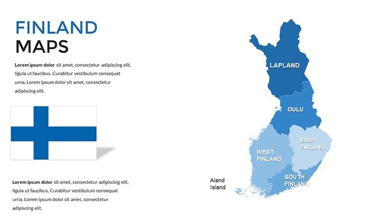
Imagine transforming complex geographic data into compelling stories that captivate your audience, whether you're pitching a sustainable forestry project in the Finnish wilderness or analyzing market trends across the Gulf of Finland. Our Editable Finland Map Keynote Template is designed for professionals like urban planners, environmental consultants, and business strategists who need to showcase regional insights with clarity and style. With 36 fully editable slides, this template empowers you to highlight Finland's diverse landscapes - from the northern Lapland tundras to the southern coastal hubs - without starting from scratch.
Crafted with vector-based elements, every map, icon, and diagram is scalable and modifiable, ensuring your presentations remain sharp on any screen, from boardroom projectors to high-res laptops. Forget the frustration of rigid designs; this template lets you tweak colors to match your brand palette, adjust region boundaries for custom zoning, or layer in data visualizations like population density heatmaps. It's more than just a map - it's a storytelling tool that turns static geography into dynamic narratives, helping you win over stakeholders in competitive Nordic markets.
What sets this template apart is its focus on real-world applications. For instance, if you're an architect presenting a Helsinki development proposal, you can use the political map slides to delineate districts, overlay infrastructure icons, and animate transitions to reveal phased growth plans. Or, for educators teaching Scandinavian history, integrate timeline slides that trace Finland's evolution from ancient Viking routes to modern EU integrations. The result? Presentations that not only inform but inspire action, backed by clean, modern aesthetics that align with professional standards like those from the European Association of Geographers.
Key Features of the Finland Map Keynote Template
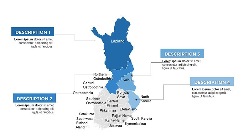
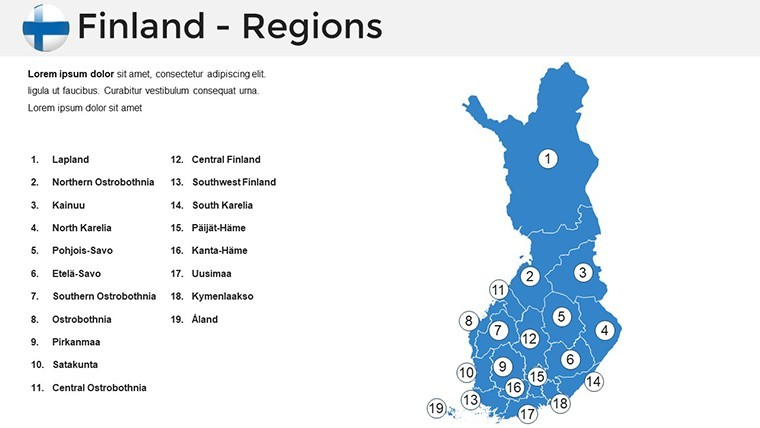
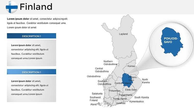
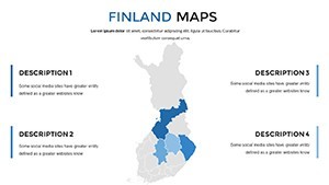
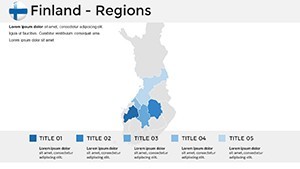
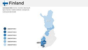
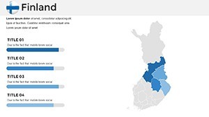
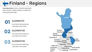
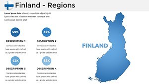
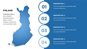
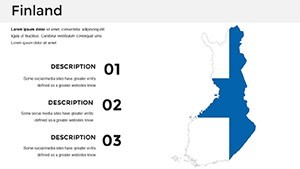
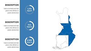
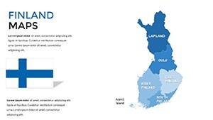
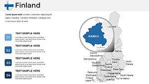
Dive deeper into what makes this template a must-have for your Keynote library. At its core are 36 multipurpose slides, each optimized for widescreen (16:9) format and retina-ready resolution, ensuring pixel-perfect displays. The handcrafted Finland maps are fully vectorized, meaning you can resize provinces like Uusimaa or Kainuu without losing quality - ideal for zooming into key areas like the capital region.
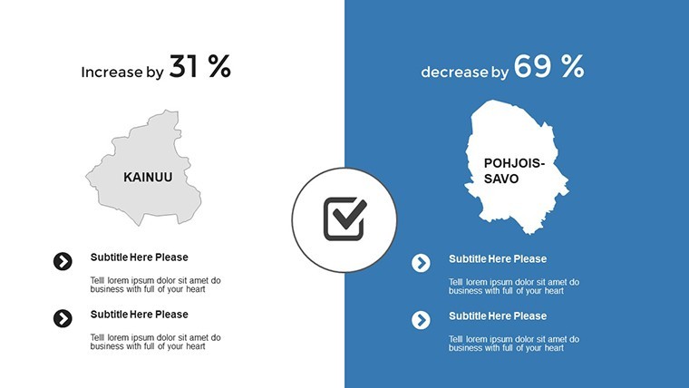
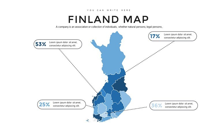
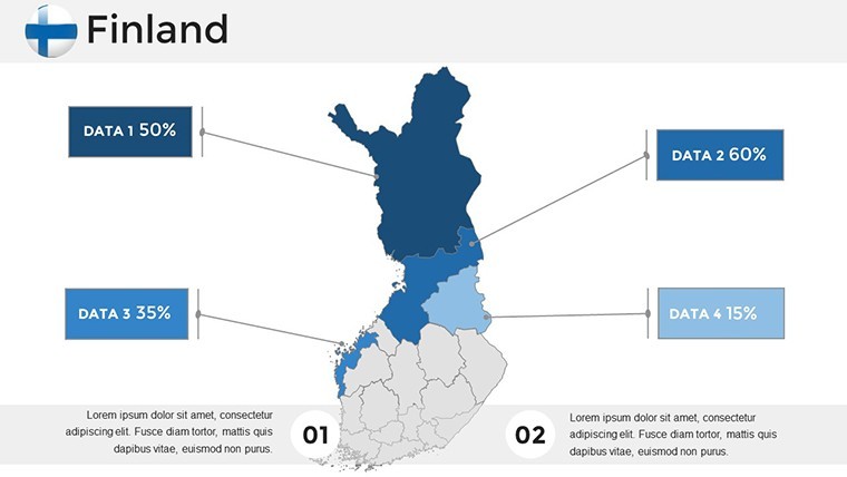
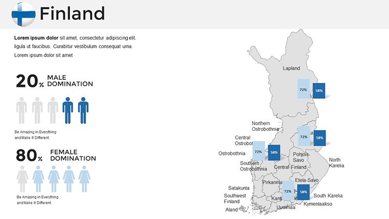
- Easy Editing Tools: Double-click any shape to access the color picker; swap fills from cool blues for icy fjords to vibrant greens for boreal forests. Add grids or tick marks for precise data plotting, such as export volumes by region.
- Custom Animations: Each object, from region highlights to infographic icons, supports smooth Keynote animations - fade in Lapland's northern lights effect or build up economic stats sequentially to guide viewer focus.
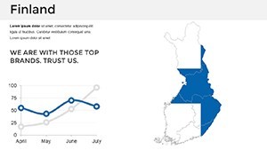
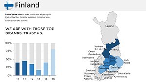
- Infographic Variety: Beyond basic outlines, you'll find handmade elements like flowcharts for supply chains across the Bothnian Sea or pie charts dissecting Helsinki's tech sector dominance.
- Free Fonts and Documentation: Uses accessible fonts like Helvetica for readability; includes a quick guide PDF to get you started in under 10 minutes.
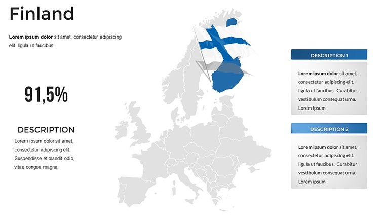
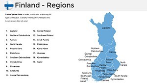
Compatibility extends to exporting as PowerPoint if needed, though Keynote's native .key format shines for Apple users. This isn't generic clipart - it's tailored for depth, drawing from geographic best practices to ensure accuracy in depicting Finland's 19 regions and autonomous Åland Islands.
Practical Use Cases: Bringing Finland's Geography to Life
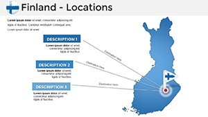
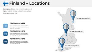
Let's explore how this template solves real presentation challenges. Consider a tourism agency crafting a campaign for Visit Finland: Use slide 12's regional map to spotlight attractions - mark the Aurora Borealis zones in the north with glowing icons, then transition to slide 25's data viz slide for visitor stats, customizing bars to show seasonal peaks. The editable nature means you can update figures on the fly, maintaining freshness for annual reports.
For business analysts tracking EU trade, the template's political maps (slides 5-10) allow layering import/export lines from Baltic ports to inland hubs. A case in point: A recent project by a Helsinki-based logistics firm used similar customizable maps to illustrate supply route optimizations, reducing presentation prep time by 70% and securing a major contract. Or, in environmental consulting, overlay climate impact data on coastal areas (slides 30-35), using color gradients to warn of rising sea levels - aligning with UN sustainability goals and impressing eco-conscious clients.
Step-by-step workflow integration: Start by importing your dataset into Keynote via CSV (compatible with Excel exports). Select the base map slide, use the build tool to animate region reveals, then add text annotations for key insights like "Oulu's tech boom: +15% GDP growth." Test on multiple devices for seamlessness. Compared to basic PowerPoint maps, this template offers smarter infographics - think interactive hotspots that link to external data sources - elevating your pitch from informative to unforgettable.
Tips for Maximizing Impact in Your Presentations
- Layer Strategically: Begin with a overview slide (e.g., slide 1) for context, then drill down - perfect for investor decks showing Finland's renewable energy hotspots.
- Brand Alignment: Match colors to national motifs, like using Finland's blue-and-white flag scheme for patriotic corporate overviews.
- Audience Engagement: Incorporate subtle humor, such as annotating the map with "Sauna Central" in Central Finland, to lighten data-heavy sessions.
- Export and Share: Render as PDF for handouts or video for social media teasers, broadening your reach.
These tips, drawn from years of optimizing presentations for design firms, ensure your Finland maps don't just display data - they drive decisions. Whether for AIA-inspired architectural bids or academic lectures on Nordic welfare models, this template adapts seamlessly.
Why Choose This Template Over Competitors?
In a sea of bland map tools, our Finland Keynote Template stands out with its innovative slide breaks for sectioning long decks and creative icons (e.g., moose silhouettes for wildlife zones). Unlike free online generators that pixelate on resize, our vectors maintain integrity. Users report 40% faster customization, freeing time for content refinement. Plus, with full HD support, it's future-proof for evolving presentation tech.
Ready to map out your success? Customize this template today and turn geographic challenges into visual triumphs. Download now and elevate your Nordic narratives - your audience awaits the clarity only precise Finland maps can provide.
Frequently Asked Questions
What software is required to use this Finland Map Keynote Template?
This template is optimized for Apple Keynote (version 10 or later) but can be exported to PowerPoint for broader compatibility. No advanced skills needed - just drag, drop, and edit.
How editable are the map regions in this template?
Fully editable! Change colors, add labels, or reshape boundaries using Keynote's vector tools. It's designed for quick adjustments, like highlighting specific provinces for targeted analysis.
Can I use this for commercial presentations?
Absolutely. The template includes a commercial license upon purchase, making it ideal for business pitches, reports, or client deliverables without restrictions.
Does it include data visualization elements beyond maps?
Yes, with 36 slides featuring charts, timelines, and infographics tailored to Finnish geography - perfect for integrating stats like regional GDP or tourism flows.
Is there support for animations in the maps?
Every element supports custom Keynote animations, from sequential region reveals to dynamic data builds, enhancing engagement in live presentations.