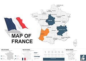
France Keynote Maps Template for Regions & Tourism


Type: Keynote Maps template
Category: Europe
Sources Available: .key
Product ID: KM00021
Template incl.: 36 editable slides
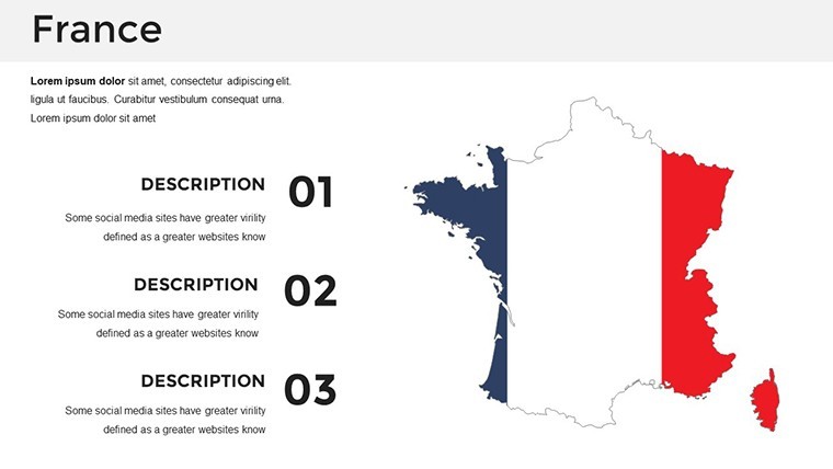
Step into the heart of France, where vineyards meet alpine peaks, through slides that bring its regions to life. Our France Keynote Maps Template, with 36 editable slides, is your passport to presentations that blend elegance and insight. Perfect for tourism operators showcasing Loire Valley chateaus, regional planners mapping urban growth, or historians tracing cultural evolutions, this tool crafts narratives as rich as French cuisine.
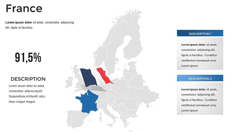
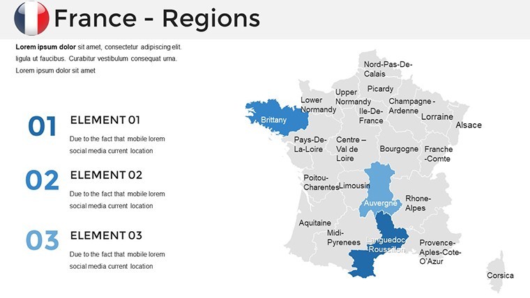
Emphasizing France's provincial diversity - from Brittany's coasts to Corsica's islands - the template offers precise, customizable maps. Edit in Keynote to add tourism stats or regional demographics, drawing from studies like the Loire Valley World Heritage case for authentic storytelling. This saves precious time, allowing focus on compelling content that draws audiences in, much like Nature's high-resolution naturalness mapping enhances conservation talks.
Fully optimized for Keynote, with widescreen formats and animations, it's a sophisticated choice for conveying France's allure. Align with ESPON's case studies on small towns, ensuring your visuals support strategic discussions with finesse.
Essential Features for Elegant Mapping
This template's features embody French sophistication, providing tools for detailed, yet accessible, presentations. Vector maps ensure quality at any scale, ideal for zooming into areas like Provence.
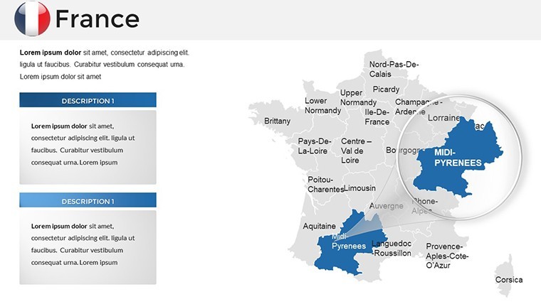
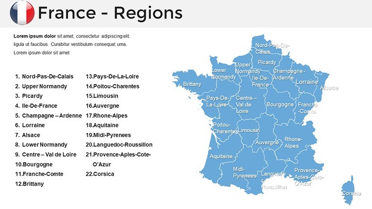
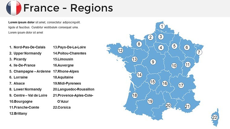
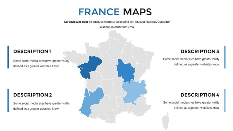
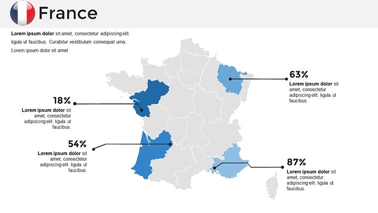
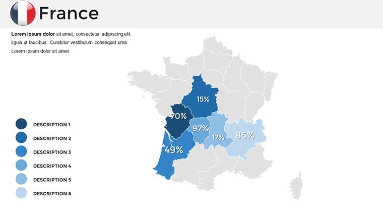
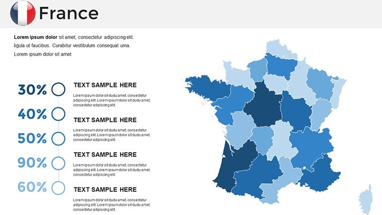
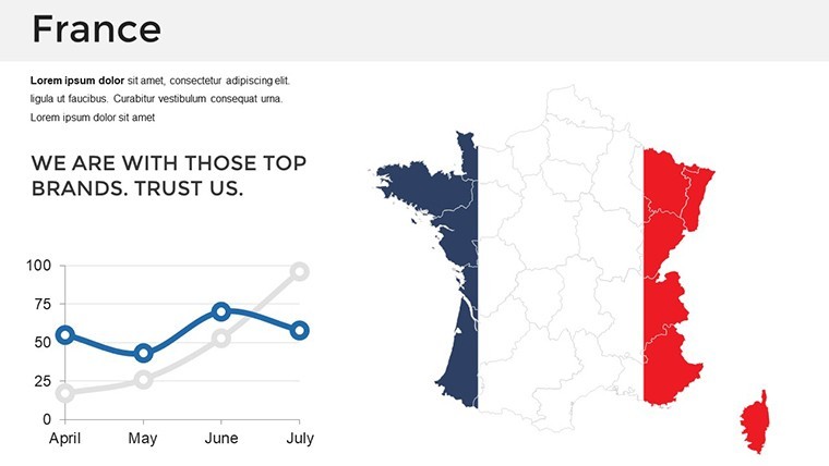
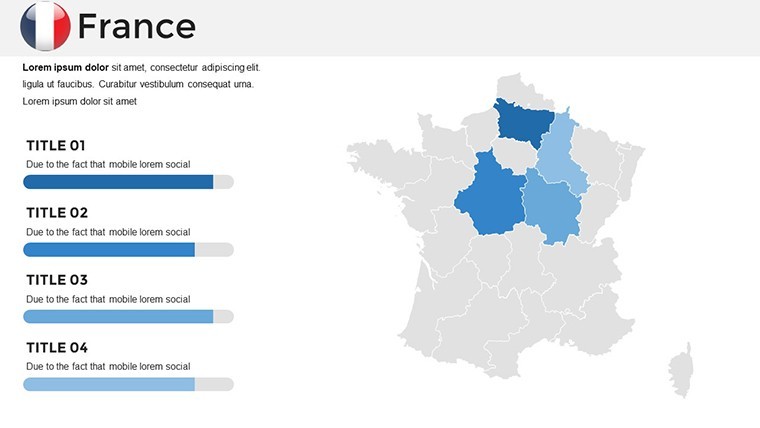
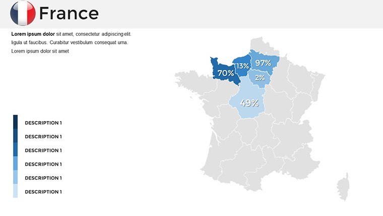
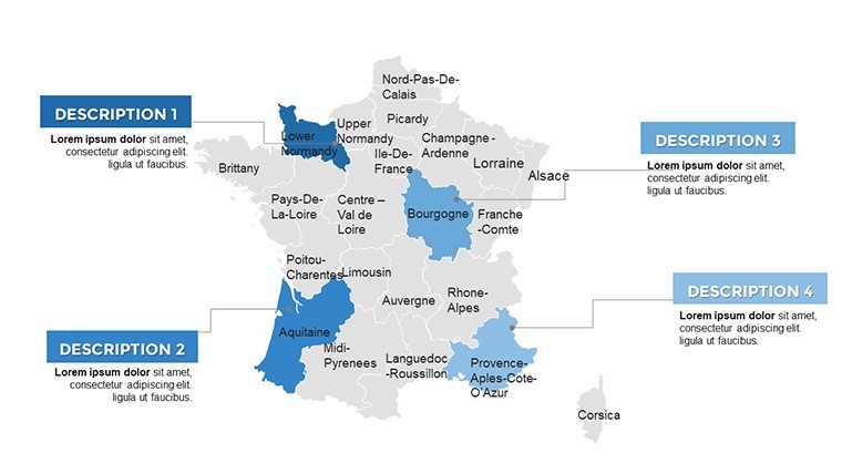
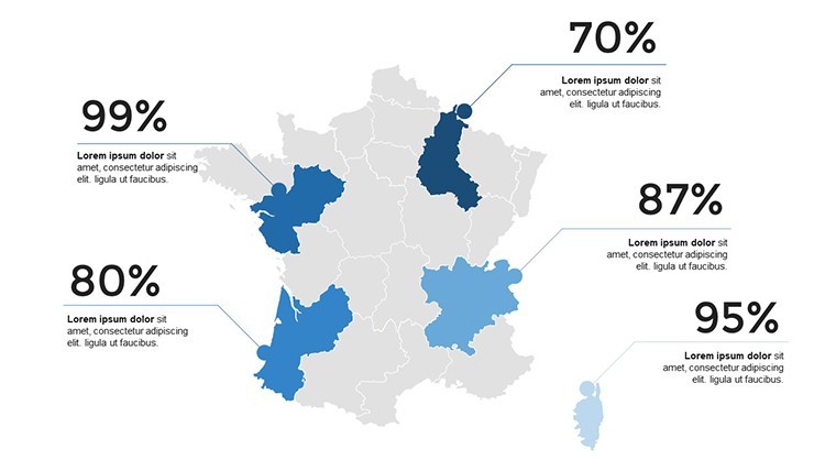
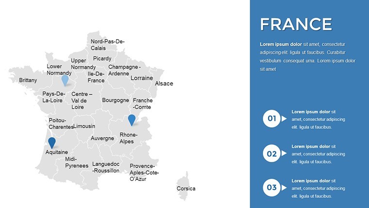
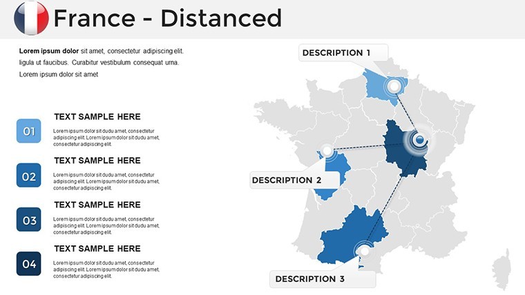
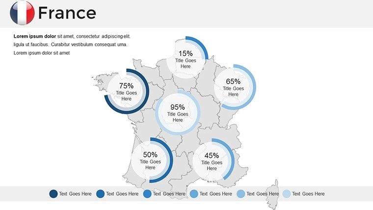
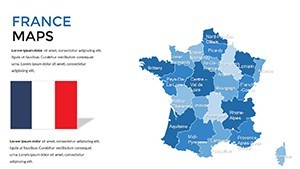
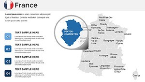
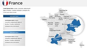
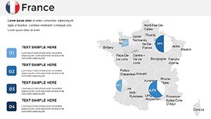
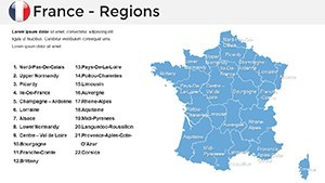
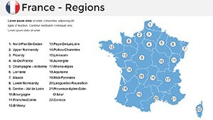
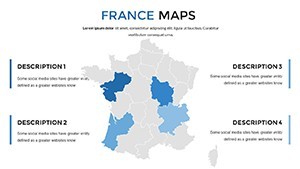
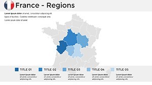
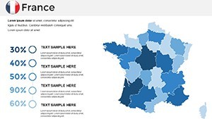
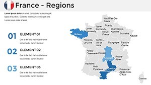
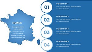
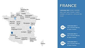
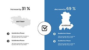
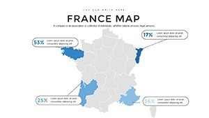
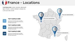
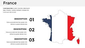
- Political and Editable Maps: Divide into 22 provinces, editable for custom highlights like wine routes.
- Customization Freedom: Alter colors, fonts, and axes to suit tourism or regional themes.
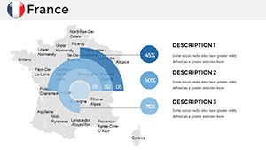
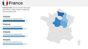
- Animated Elements: Reveal regions sequentially, enhancing engagement in tourism pitches.
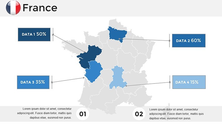
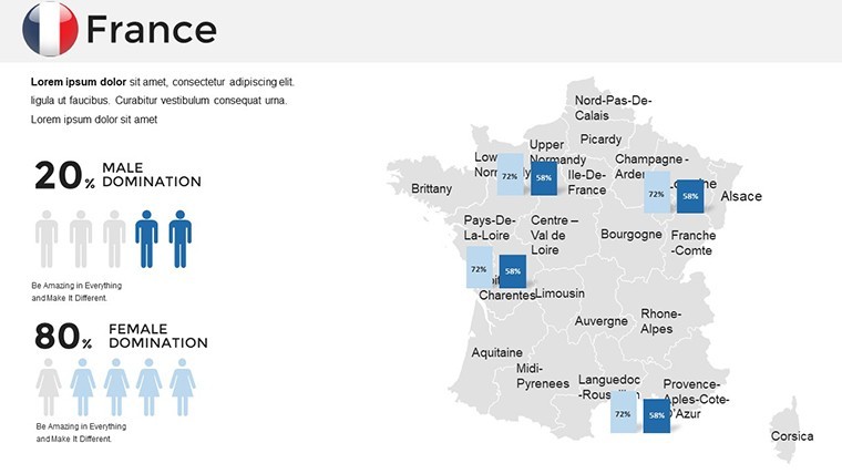
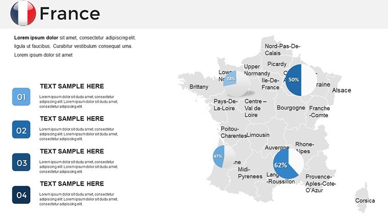
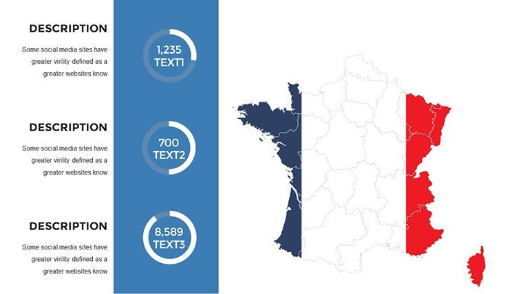
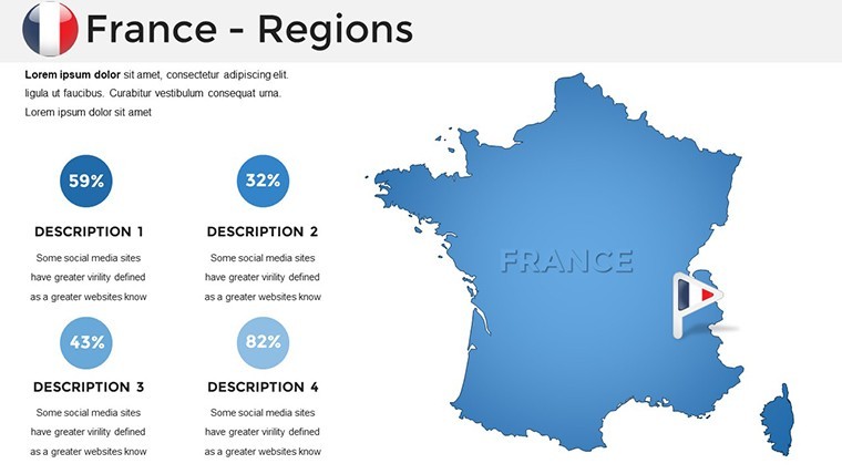
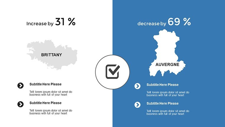
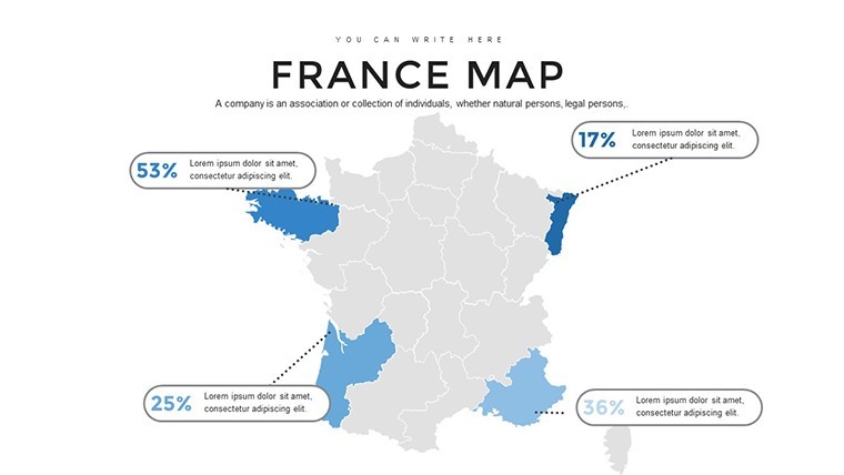
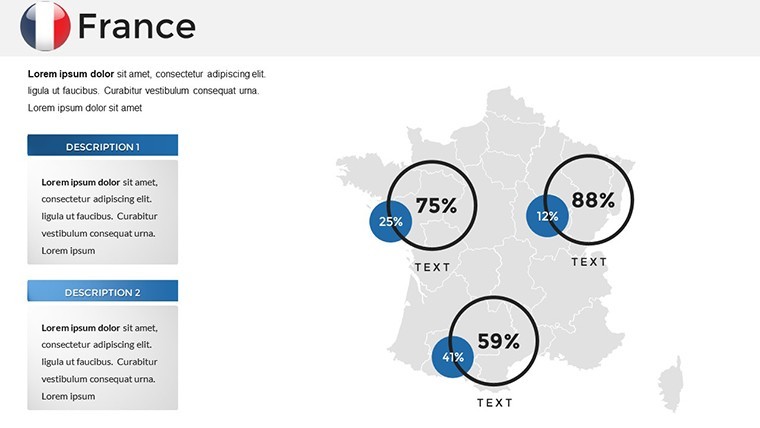
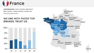
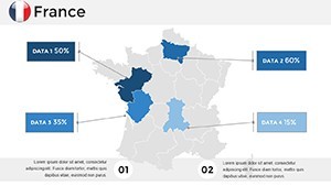
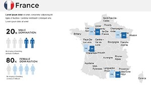
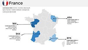
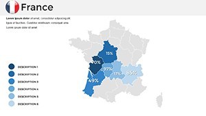
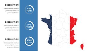
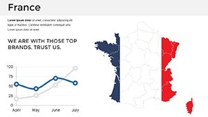
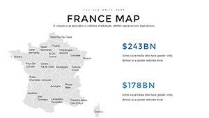
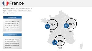
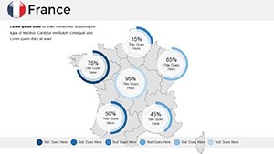
- Infographic Support: Handmade visuals for data like visitor numbers or economic outputs.
- Professional Polish: Clean styles with free fonts for a modern, trustworthy look.
Overcoming typical hurdles, like representing decentralized power from Paris, as noted in the product desc, these features facilitate nuanced views.
From Tourism to Regional Insights: Key Uses
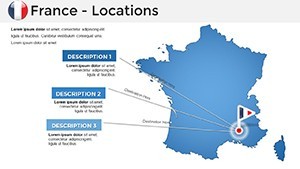
Harness this for tourism development, mapping attractions in the Loire Valley per ResearchGate's study on World Heritage challenges. Customize slides to show sustainable strategies, incorporating stakeholder data from ARSINOE's mappings.
For regional analyses, use cartograms from ResearchGate to visualize population distributions, adapting for economic presentations. SlideKit's infographic templates inspire adding flair to France maps, while FasterCapital's interactive campaigns showcase success in tourism marketing.
In education, locate cultural facts on maps, echoing MacDuffie LibGuides' French projects. A Taylor & Francis article on regional potentials demonstrates mapping's role in economic contributions - apply to presentations on EU integrations.
Mastering Customization: Practical Steps
Open a slide featuring France's outline. Edit provinces: Select and recolor Normandy for historical focus. Add overlays: Insert tourism icons or charts for GDP by region. Animate for impact, like unfolding the Eiffel Tower's locale.
Tips: Use gradients for depth, cite sources for , and preview for cross-device consistency. This mirrors OVPM's historic cities compilation, ensuring comprehensive, action-oriented outputs.
Crafting Timeless France Presentations
Elevating beyond basics, this template's documentation and style make it essential for refined work. Integrate into flows: Start with national overviews, explore regions, end with tourism CTAs.
From cultural events to business strategies, its elegance captivates. Begin your French mapping adventure today.
Frequently Asked Questions
How detailed are the France province maps?
Highly detailed, covering 22 provinces with editable boundaries and labels for precise regional focus.
Ideal for tourism presentations?
Yes, customize with icons and data to highlight attractions and routes effectively.
Keynote compatibility details?
Fully compatible, with full HD and animation support for smooth, professional delivery.
Can I modify vector elements?
Yes, stretch, resize, or recolor without quality loss for flexible designs.
Additional inclusions?
Quick guides, infographics, and fonts to support your creative process.