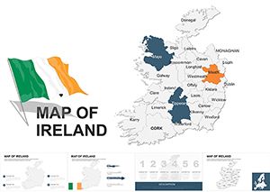
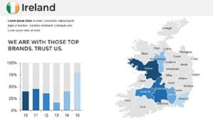
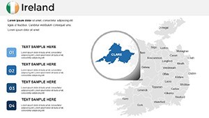
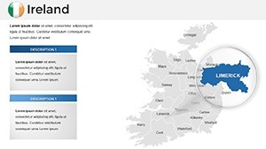
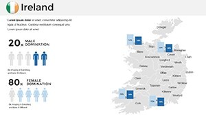
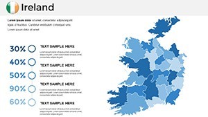
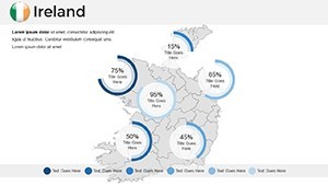
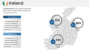
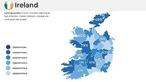
Customizable Ireland Keynote Maps Template


Type: Keynote Maps template
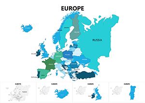
Category: Europe
Sources Available: .key
Product ID: KM00019
Template incl.: 36 editable slides
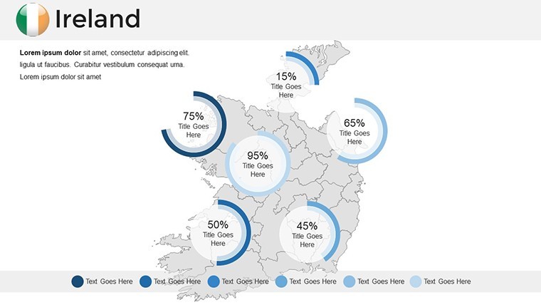
Picture this: You're crafting a presentation that transports your audience to the emerald hills of Ireland, weaving tales of ancient history with modern insights. Our Ireland Keynote Maps Template makes that vision a reality, boasting 36 editable slides tailored for those who want to showcase the island's unique charm. Ideal for educators delving into Celtic lore, travel agents promoting scenic routes, or businesses analyzing market opportunities in Dublin or Belfast, this template turns geographical data into an engaging journey.
With a focus on Ireland's cultural tapestry - from rugged coastlines to vibrant urban centers - these maps are more than visuals; they're storytelling aids. Fully customizable in Keynote, you can adjust styles from minimalist outlines to detailed topographies, incorporating your data seamlessly. Say goodbye to bland slides and hello to presentations that captivate, as evidenced by resources like the Atlas of the Irish Revolution, which uses maps to enhance educational narratives. This template saves you hours, letting you concentrate on content that resonates deeply with viewers.
The user-friendly design ensures even novices can create pro-level outputs. Compatible with Keynote's latest features, it's optimized for widescreen and includes custom animations to reveal elements like the River Shannon or Giant's Causeway progressively. Whether highlighting tourism hotspots or economic zones, the precision and versatility here align with best practices from geography education research, boosting comprehension and retention.
Unveiling the Template's Core Strengths
What makes this Ireland-focused template indispensable? Its array of features empowers creative freedom while maintaining professional polish. Each slide is handcrafted with vector-based maps, ensuring scalability without pixelation, perfect for high-stakes presentations.
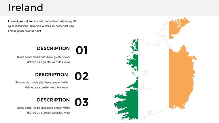
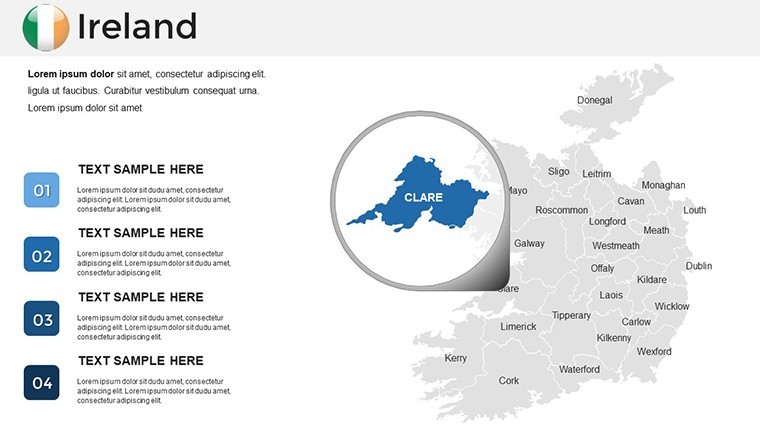
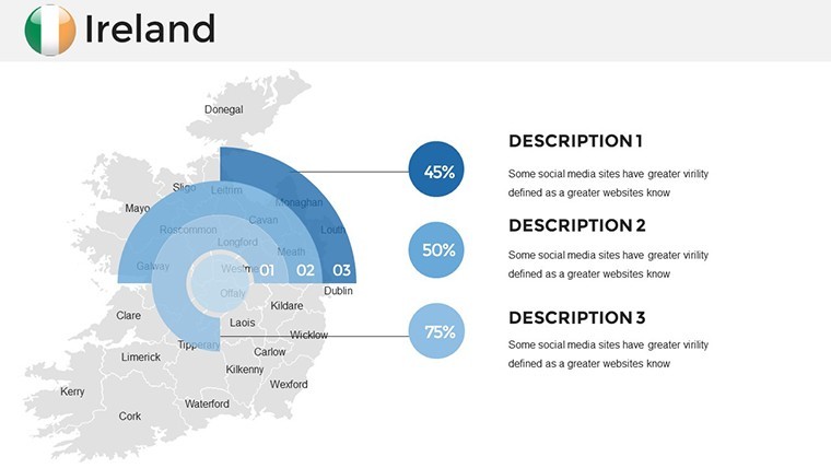
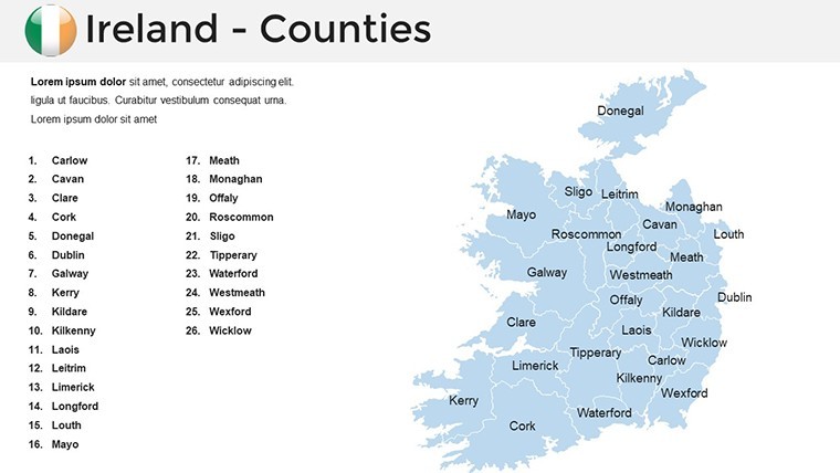
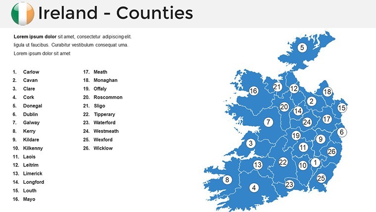
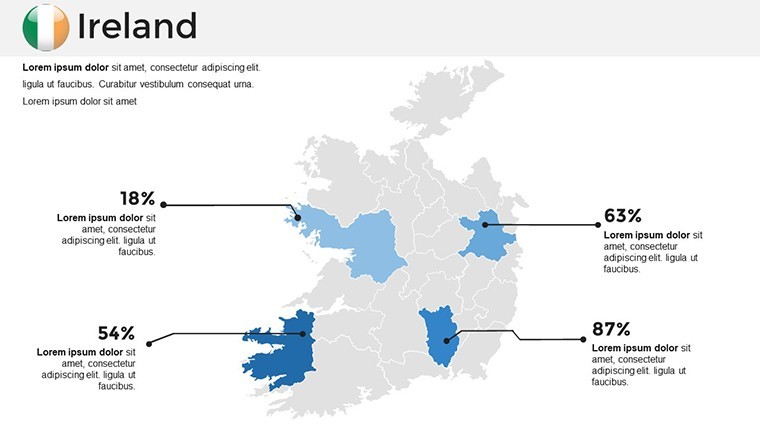
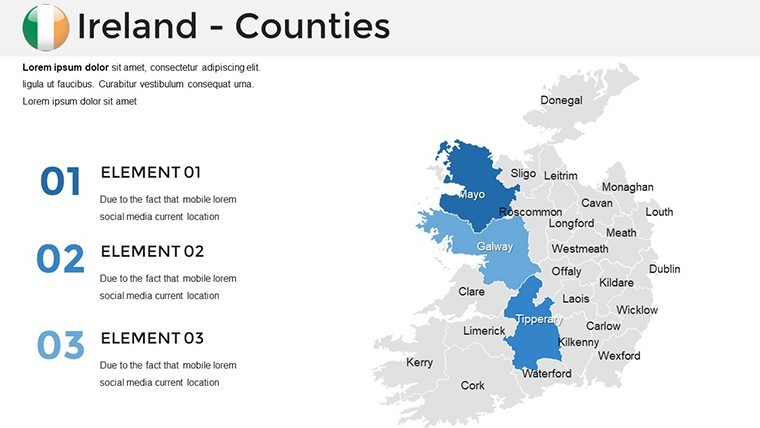
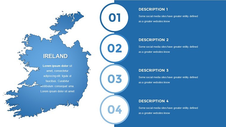
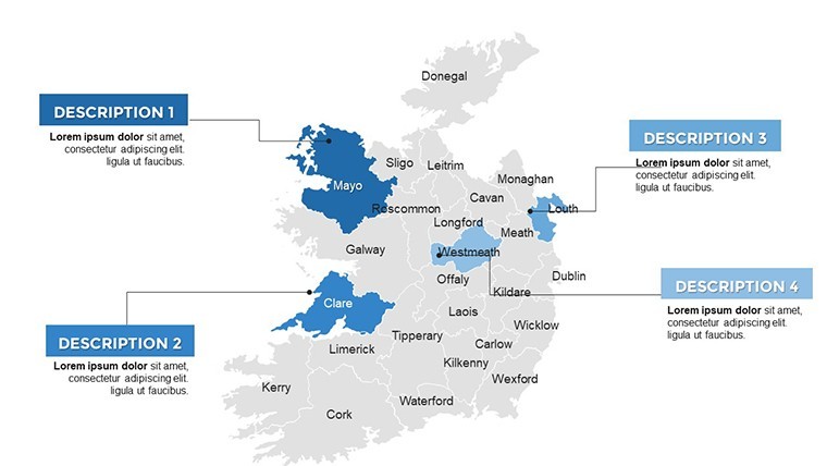
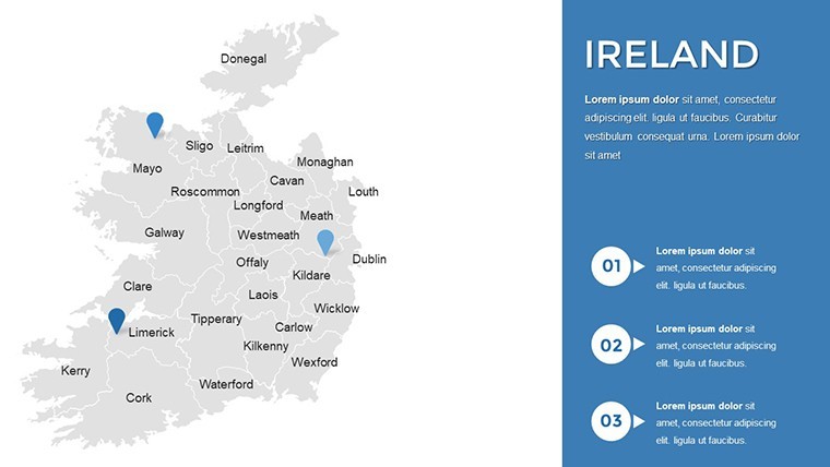
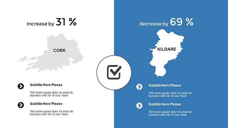
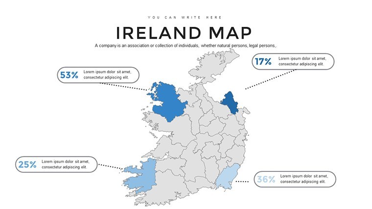
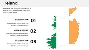
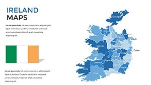
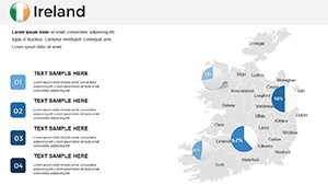
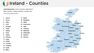
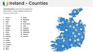
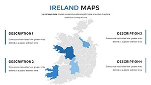
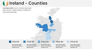
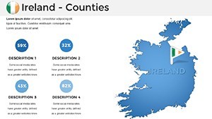
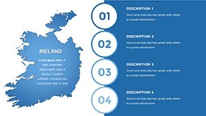
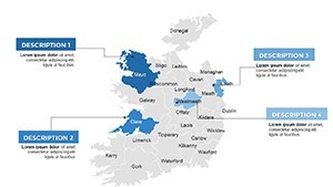
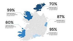
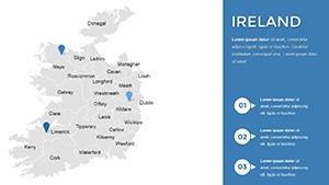
- Diverse Map Styles: Choose from minimalist for quick overviews or intricate designs showcasing counties like Kerry or Antrim.
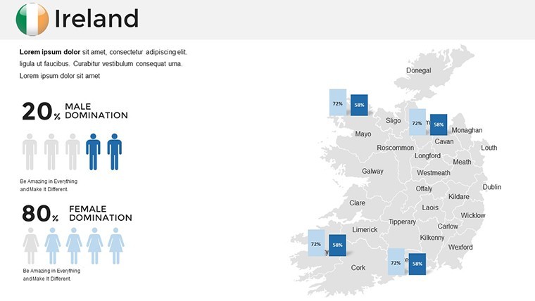
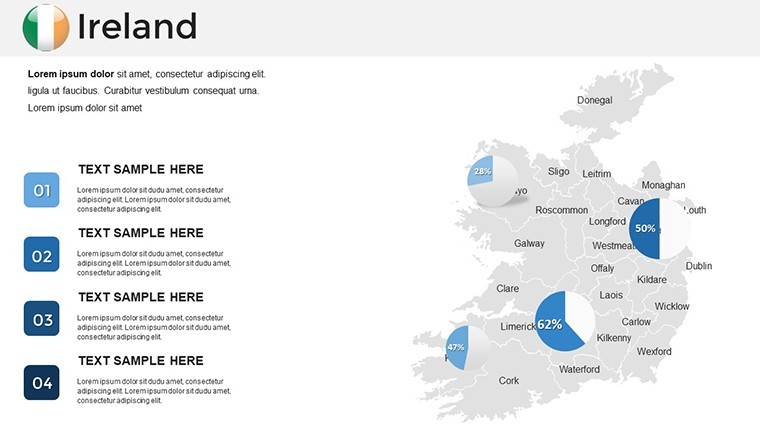
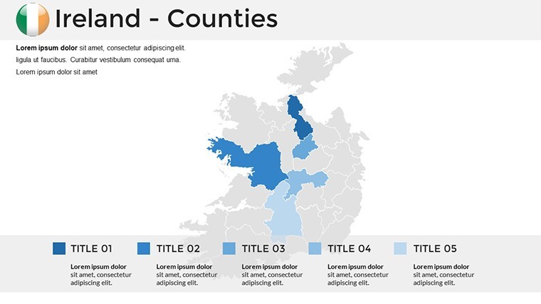
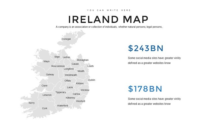
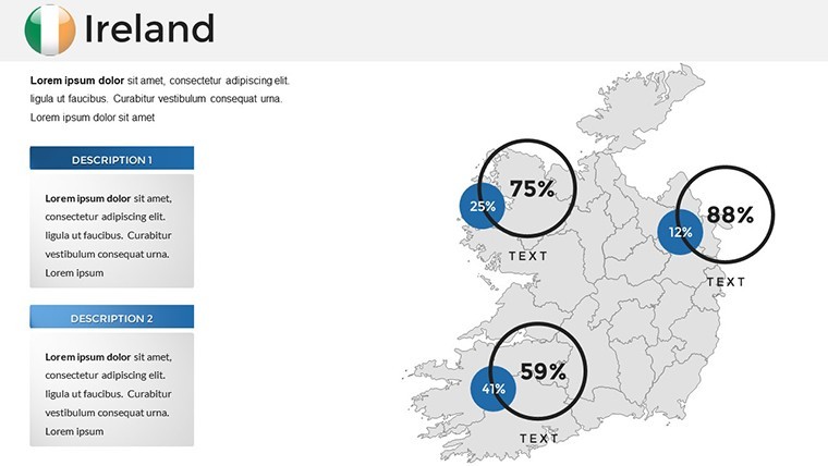
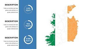
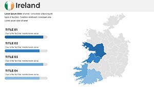
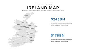
- Intuitive Customization: Edit text, images, and colors effortlessly - add photos of landmarks or data charts for population trends.
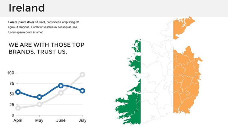
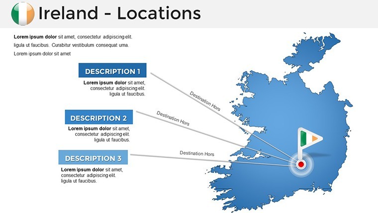
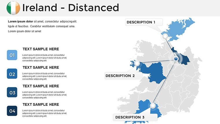
- Animation and Transitions: Use built-in effects to animate historical timelines or travel paths, drawing from interactive mapping techniques.
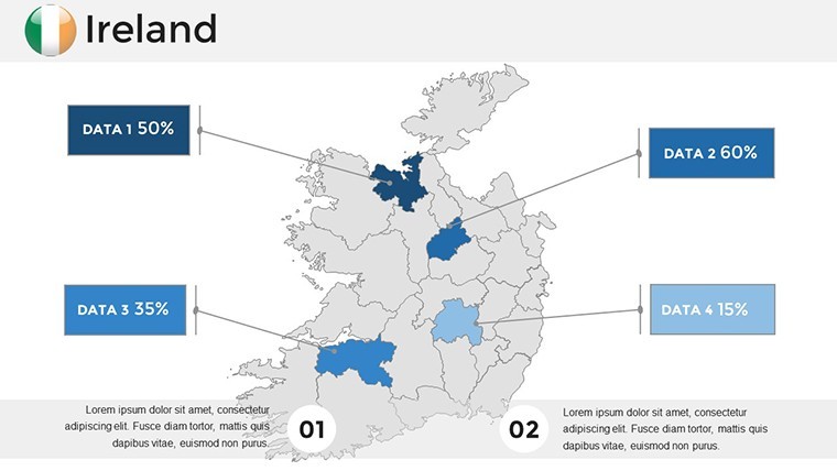
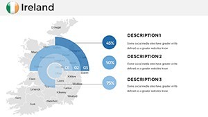
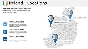
- Infographic Integration: Handmade elements like icons for cultural sites enhance visual appeal and data clarity.
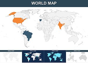
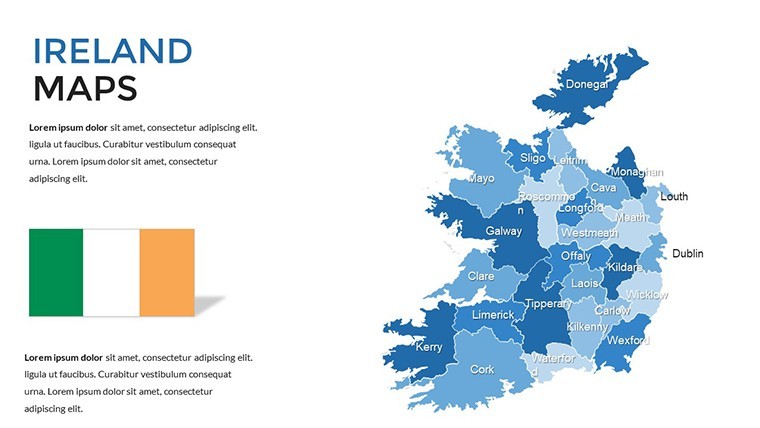
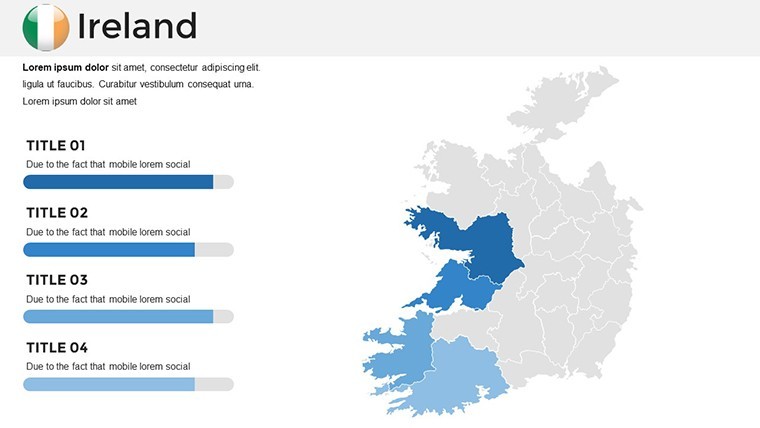
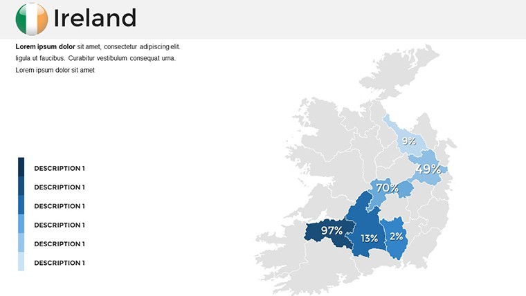
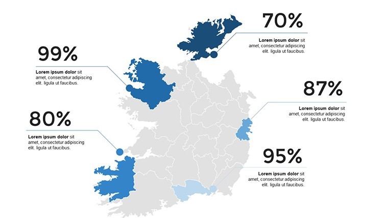
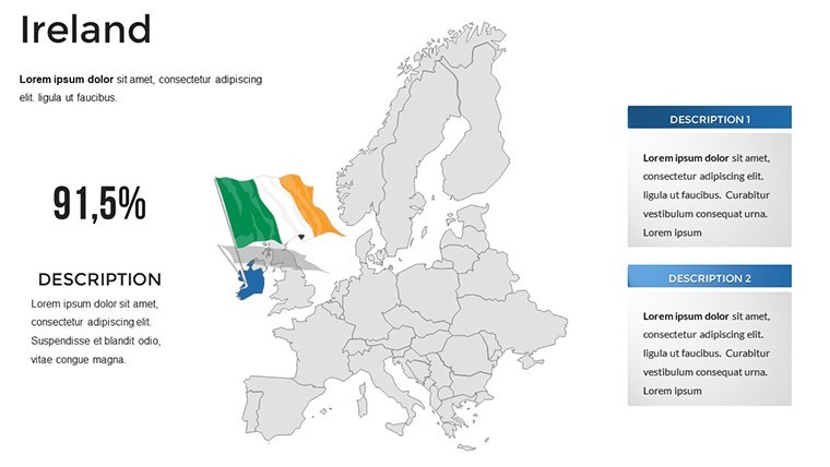
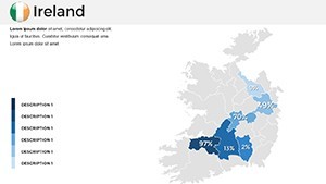
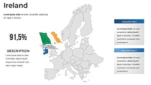
- Comprehensive Coverage: Slides span physical geography, political divisions, and thematic layers for economic or environmental data.
These tools address common challenges, like making abstract history tangible. For instance, in a school setting, overlay migration routes on a map to illustrate the Irish Diaspora, inspired by NCCA guidelines on using maps for social and environmental education.
Practical Uses and Inspiring Examples
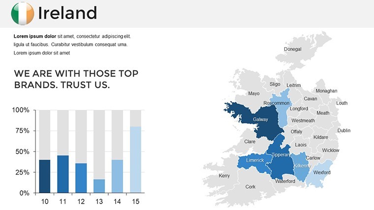
In action, this template excels across scenarios. For history educators, create slides mapping the Easter Rising, using color-coding for key events - mirroring case studies from UCC's Atlas resources that promote mapping in classrooms for deeper understanding. Travel professionals can customize for virtual tours, highlighting regions like the Wild Atlantic Way with embedded images and stats on visitor numbers.
Business applications abound: Analyze regional investments by shading areas like the tech hub in Dublin, drawing from GIS studies in Northern Ireland schools that demonstrate mapping's role in data visualization. A ResearchGate article on GIS in secondary education shows how such tools foster spatial thinking - apply this to corporate strategy sessions for market entry into Ireland.
Environmentally, map biodiversity hotspots or climate impacts, as in deep mapping projects from Taylor & Francis, where virtual explorations during COVID-19 enhanced learning. One educator reported increased student engagement when using similar maps for local studies, turning lessons into interactive adventures.
Customizing for Maximum Impact: A How-To
Begin by selecting a base map slide. Adjust boundaries to focus on Northern or Republic Ireland, then apply colors - green for rural areas, blue for coasts. Insert data: Drag in charts for tourism revenue or historical timelines. Animate reveals for dramatic effect, like unfolding the story of St. Patrick.
Pro tips: Vary font sizes for hierarchy, use free fonts included for authenticity, and test on iPads for mobile compatibility. Align with EER's systematic review on concept maps in geography, ensuring your edits promote clear understanding. This process not only refines your presentation but infuses it with Irish flair.
Elevating Your Narrative with Ireland's Essence
Unlike generic templates, this one captures Ireland's spirit, offering superior editability for nuanced storytelling. Users find it transformative, with feedback echoing Belgeo's insights on geography's role in making sense of cultural shifts. Integrate into workflows: Intro with an overview map, detail sections with themed slides, end with a data-summary infographic.
From personal events like family heritage stories to professional pitches, the adaptability shines. Inspired by OpenEdition's geography in Ireland overview, use it to explore economic transformations visually.
Embrace this template to infuse your presentations with Ireland's magic. Start customizing and let your stories unfold vividly.
Frequently Asked Questions
How customizable are the Ireland maps?
Fully customizable - edit colors, add images, text, and data to fit your narrative perfectly in Keynote.
Does it support educational use cases?
Yes, ideal for history and geography lessons, with features that align with curriculum guidelines for interactive learning.
What Keynote versions work with this?
Compatible with current Keynote releases, ensuring smooth performance on Mac and iOS devices.
Can I add my own data overlays?
Absolutely, integrate charts, icons, and animations for personalized, data-rich presentations.
Is there support for different styles?
Yes, from minimalist to detailed, with free fonts and infographics for versatile design options.
What's included besides slides?
Documentation, quick guides, and handmade elements to streamline your creation process.