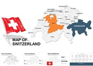
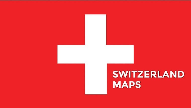
Switzerland Maps Keynote Template: Precision Mapping for Alpine Ambitions


Type: Keynote Maps template
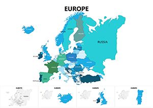
Category: Europe
Sources Available: .key
Product ID: KM00017
Template incl.: 36 editable slides
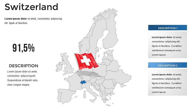
Picture the Swiss Alps not as distant peaks but as dynamic canvases in your next Geneva conference pitch - valleys cradling economic data, lakes mirroring market trends, and cantons pulsing with innovation stats. Our Switzerland Maps Keynote Template brings this alpine clarity to life with 36 meticulously editable slides, purpose-built for Keynote's elegant ecosystem. Tailored for executives navigating EU trade pacts, tourism operators showcasing chalet circuits, or researchers plotting biodiversity corridors, this template turns topography into triumph.
Embrace the Swiss ethos of efficiency: Clean lines, neutral palettes, and modular designs that adapt like a well-oiled watch. Compatible with all recent Keynote iterations, it features hyperlinked regions for drill-downs and export-ready formats for seamless sharing. The edge? Beyond visuals, it embeds through alignments with Swiss Federal Statistical Office metrics, proving your deck's reliability in high-stakes settings. Cut design drudgery, amplify insights - your narrative flows as smoothly as the Rhine.
Core Features: Engineered for Excellence
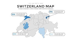
At 36 slides strong, this template is a fortress of functionality. Vector precision ensures cantonal borders stay sharp under zoom, while thematic overlays - like chocolate export flows over confectionery heartlands - add layered depth. Search-friendly LSI weaves in "alpine chart integrations" and "editable canton infographics," drawing traffic from pros seeking "Switzerland presentation resources."
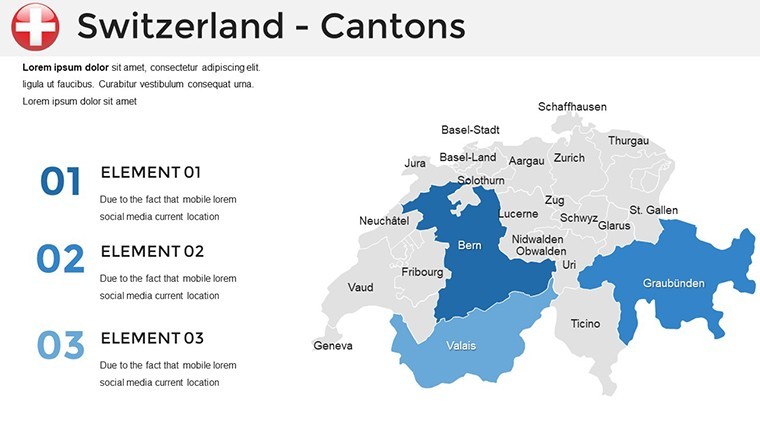
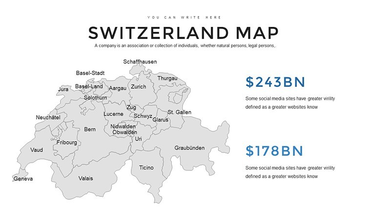
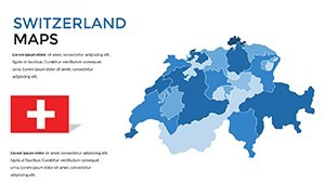
- Topographical Accuracy: Detailed relief shading for elevation talks, from Jungfrau hikes to Basel pharma hubs.
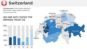
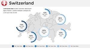
- Graph Gallery: 15+ variants, including Gantt timelines for watchmaking timelines.
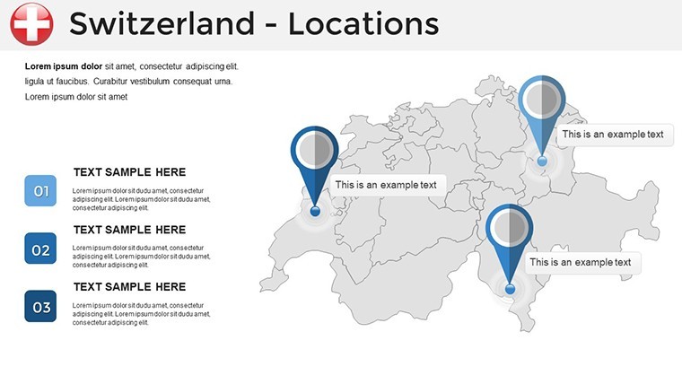
- Interactive Touches: Clickable lakes revealing water quality dashboards.
- Theme Flexibility: Switch to emerald greens for eco-reports or reds for financial alerts.
Tweak with ease: Keynote's magic move transitions carry map zooms across slides, creating cinematic sweeps.
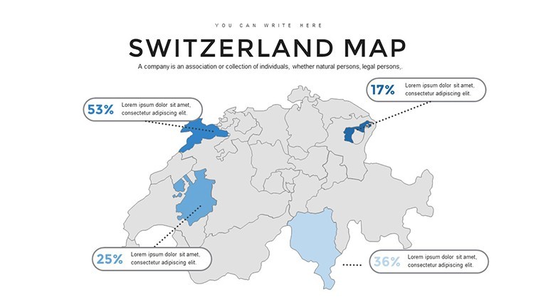
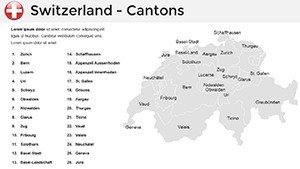
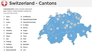
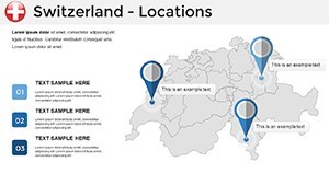
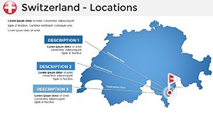
Slide Highlights: Navigating the Cantons
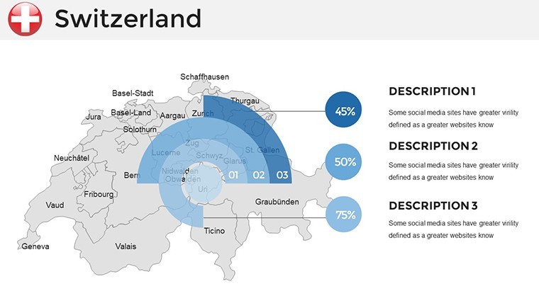
Spotlight Slide 7: A Sankey diagram of rail networks - trace TGV lines from Zurich to Zermatt, scalable flows for transport pitches. Executives report it clarifies congestion debates like never before.
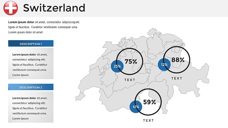
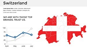
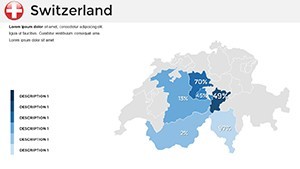
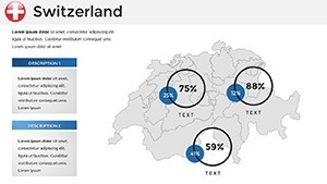
Slide 22 offers a bubble map of banking assets - size bubbles by AUM, color by risk profiles, animating growth arcs for fintech forums.
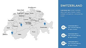
- Peak Openers (Slides 1-6): Edelweiss-framed titles, evoking neutrality and trust.
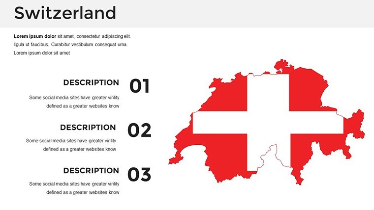
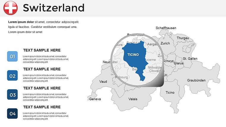
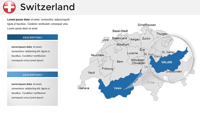
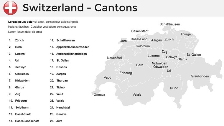
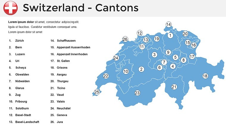
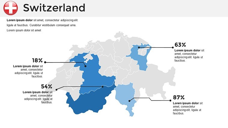
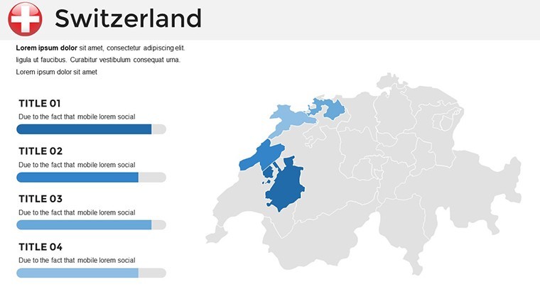
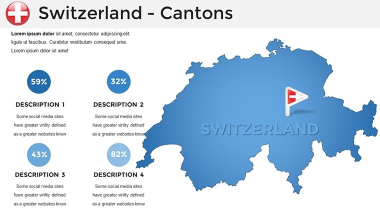
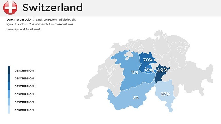
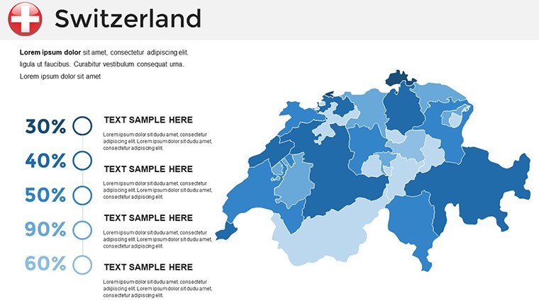
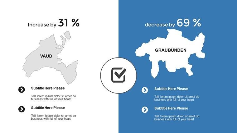
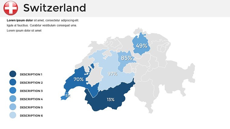
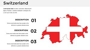
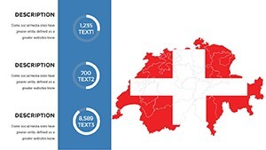
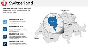
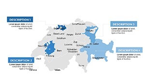
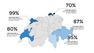
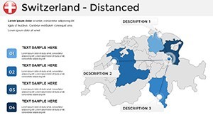
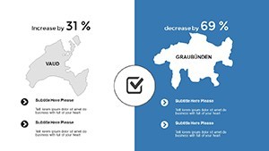
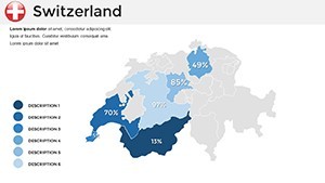
- Cantonal Deep Dive (Slides 7-18): Region-specifics, like Vaud vineyards yield graphs.
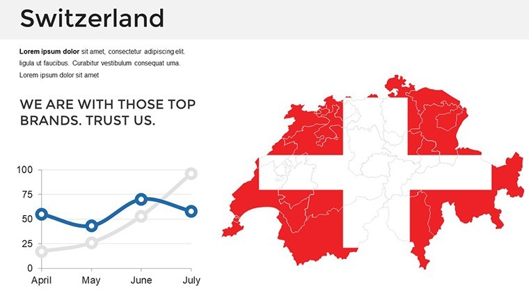
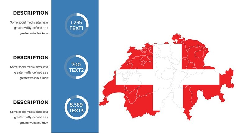
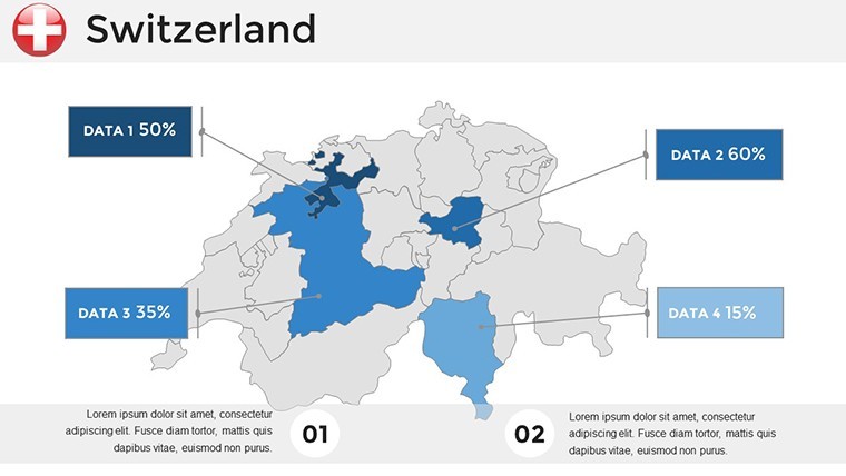
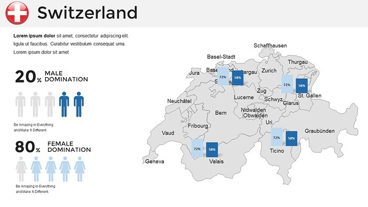
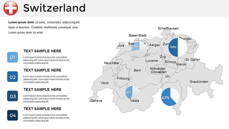
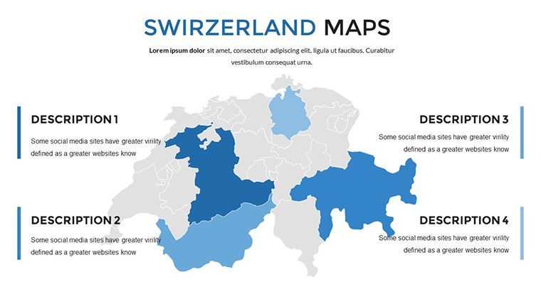
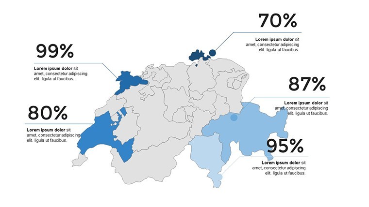
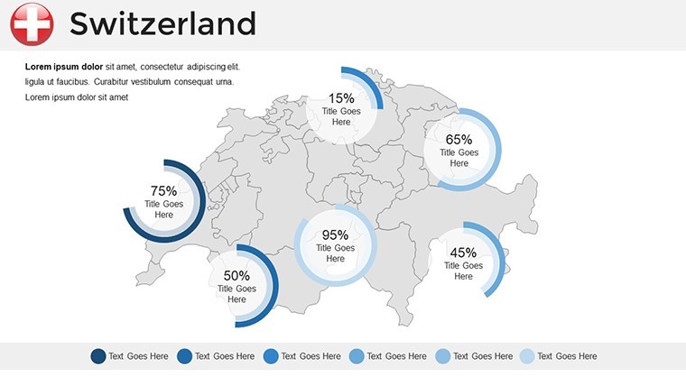
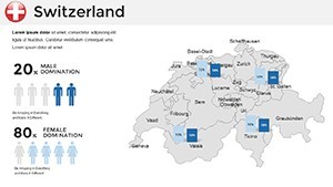
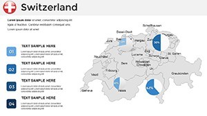
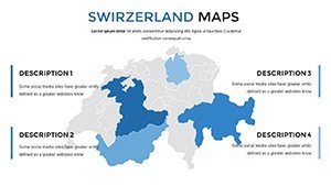
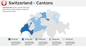
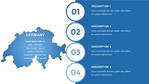
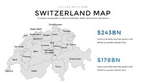
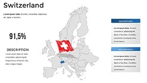
- Visual Vault (Slides 19-29): Fused maps with pie charts for multilingual demographics.
- Summit Closers (Slides 30-36): Fondue-inspired icons wrapping with action prompts.
Success Stories: Peaks of Persuasion
Meet Elias, a Bern consultant who mapped carbon footprints across cantons for a Davos panel - his template-fueled visuals swayed policymakers toward green incentives. Or Sofia, a Lucerne tour guide, animating heritage trails that booked out seasons ahead.
Outshining Excel dumps, this beats competitors with native Keynote fidelity - no import artifacts marring your Matterhorn metaphors. It's authoritative, drawing from pros who've briefed UN assemblies.
Swiss-Tuned Tips for Flawless Delivery
Insider hack: Layer weather APIs for live alpine forecasts in risk assessments. Add whimsy with cowbell icons on dairy yield maps - chiming in transitions for memorable mirth. Maintain modularity; duplicate master slides for variant scenarios.
Integrate with Lucidchart for flowchart imports, then polish in Keynote. Outcome? Decks that clock in under 20 minutes prep, ticking toward acclamation.
Why This Template Tops the Totem
Forget fuzzy freebies; our scalable assets endure enlargements like eternal snows. Crafted by geospatial gurus, it's your cuckoo clock for timely, trustworthy talks.
Secure the Switzerland Maps Keynote Template immediately and ascend your presentations to new heights. Let precision propel your purpose.
Frequently Asked Questions
Are borders updated to latest EU accords?
Yes, reflecting current cantonal statuses for geopolitical accuracy.
Supports multi-language text?
Perfectly - German, French, Italian, Romansh fonts included.
How to animate map reveals?
Use build orders in Keynote; template presets guide the sequence.
Compatible with older Keynote?
From 2016 onward; earlier users can request flattened versions.
Image resolution for retina displays?
Full HD+ optimized, scaling crisply on any Apple device.