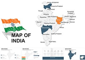
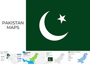
Unlock India's Geography with the Ultimate Maps Keynote Template


Type: Keynote Maps template
Category: Asia
Sources Available: .key
Product ID: KM00015
Template incl.: 36 editable slides
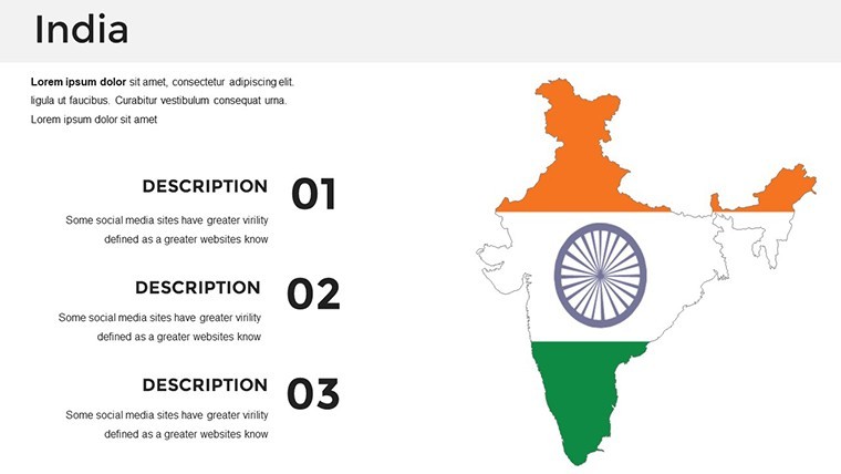
Imagine standing before a room full of stakeholders, your screen lighting up with a vibrant, interactive map of India that doesn't just show borders but tells a story - of booming economies in Mumbai, cultural hubs in Jaipur, and tech innovations in Bengaluru. That's the power of our India Maps Keynote Template, a meticulously designed collection of 36 editable slides crafted exclusively for Apple Keynote users who demand precision and flair in their presentations. Whether you're an urban planner pitching sustainable development projects, a marketing executive mapping consumer trends across states, or an educator breaking down historical migrations, this template transforms raw data into compelling visuals that captivate and convince.
Why settle for bland, generic charts when you can harness the rich tapestry of India's landscape? Our template goes beyond basic outlines, incorporating layered political, physical, and thematic maps that align with real-world applications like AIA-inspired architectural overviews or economic forecasts tied to RBI reports. With full compatibility across Keynote versions, seamless drag-and-drop editing, and high-resolution exports, you'll spend less time tweaking and more time inspiring. Picture this: a demographic heat map highlighting population shifts in real-time during your pitch - your audience won't just listen; they'll lean in.
Key Features That Set This Template Apart
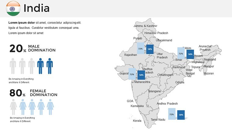
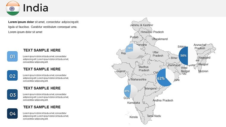
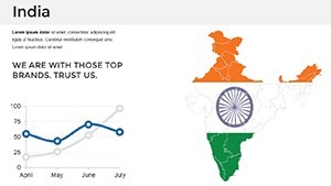
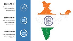
Dive deeper into what makes this 36-slide powerhouse indispensable. Each element is vector-based for infinite scalability, ensuring your maps remain crisp whether projected on a massive screen or shared via PDF. From customizable color palettes inspired by India's vibrant festivals - think saffron oranges for Rajasthan or lush greens for Kerala - to integrated infographics like pie charts overlaid on state boundaries, every detail is optimized for storytelling.
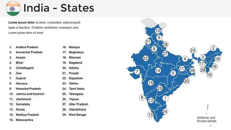
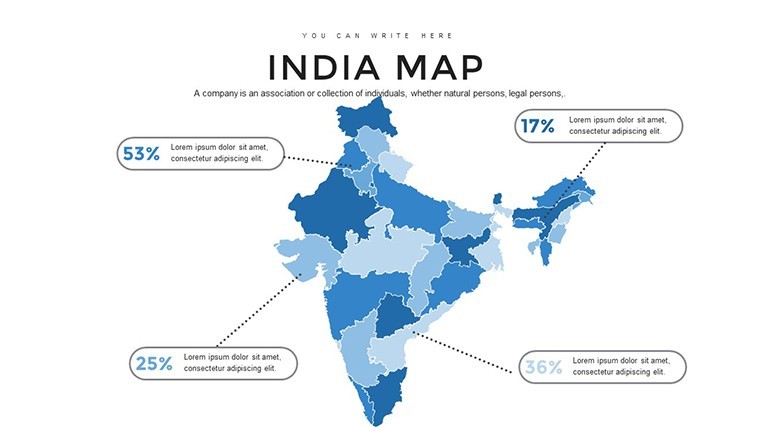
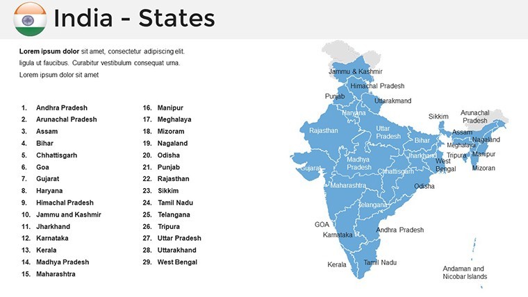
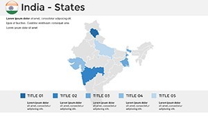
- Accurate Geographical Fidelity: Sourced from verified datasets, including state-wise breakdowns and major city pins, perfect for logistics firms tracking supply chains from Delhi to Chennai.
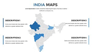
- Versatile Layouts: Switch effortlessly between thematic views - political for governance discussions, physical for environmental impact studies, or economic for investor roadshows.
- Icon Library Integration: Over 50 themed icons, from ancient monuments to modern skyscrapers, ready to annotate your maps without cluttering the design.
- Animation-Ready Elements: Subtle transitions that reveal data layers progressively, mimicking a guided tour across the subcontinent.
Customization is a breeze: Adjust fonts to match your brand's serif elegance or sans-serif modernity, tweak gradients for seasonal reports, and embed hyperlinks to external resources like government portals - all without losing Keynote's native fluidity.
Slide-by-Slide Spotlight: Bringing Maps to Life
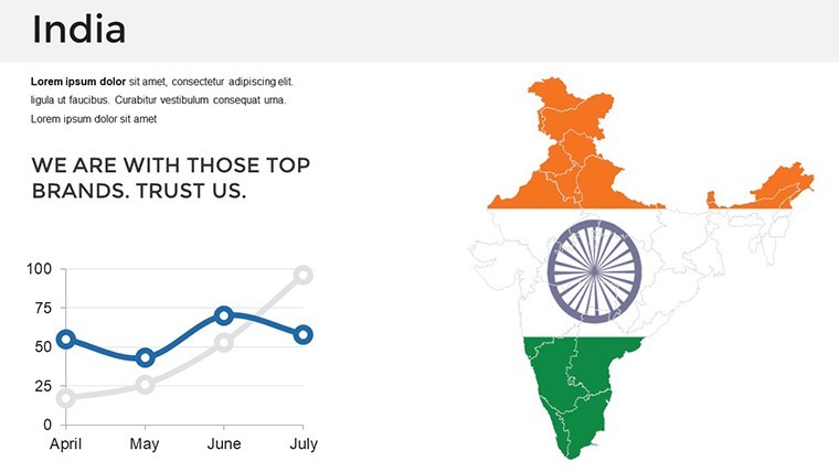
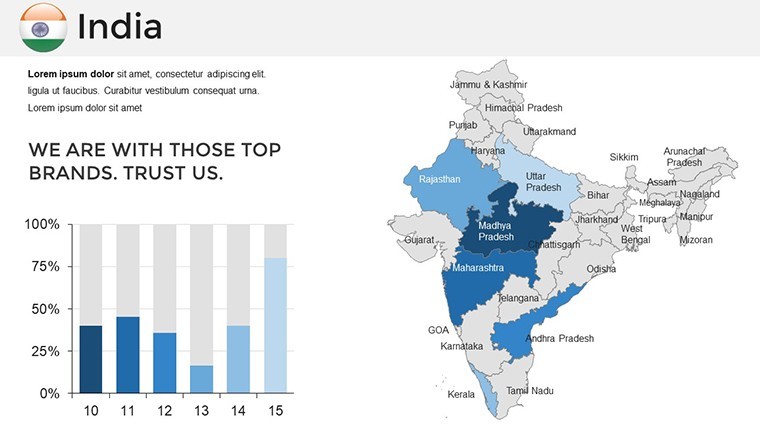
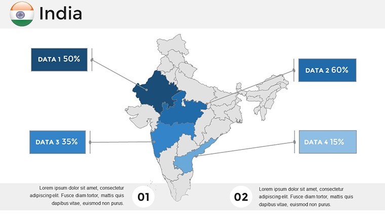
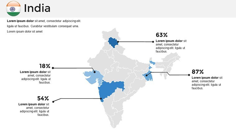
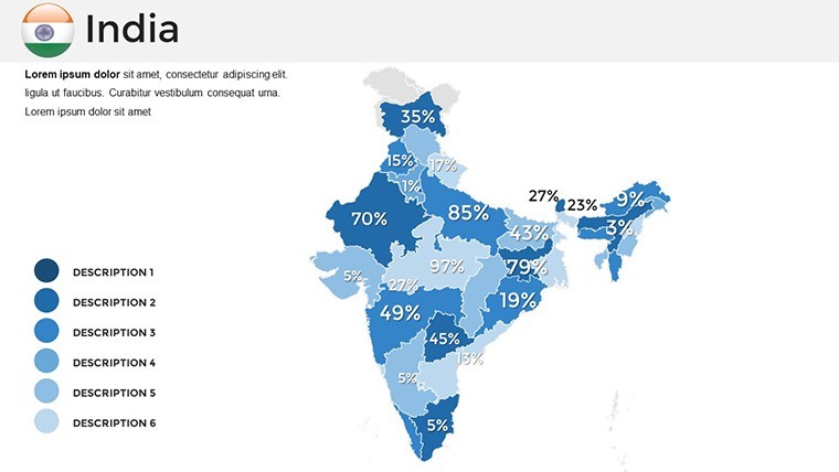
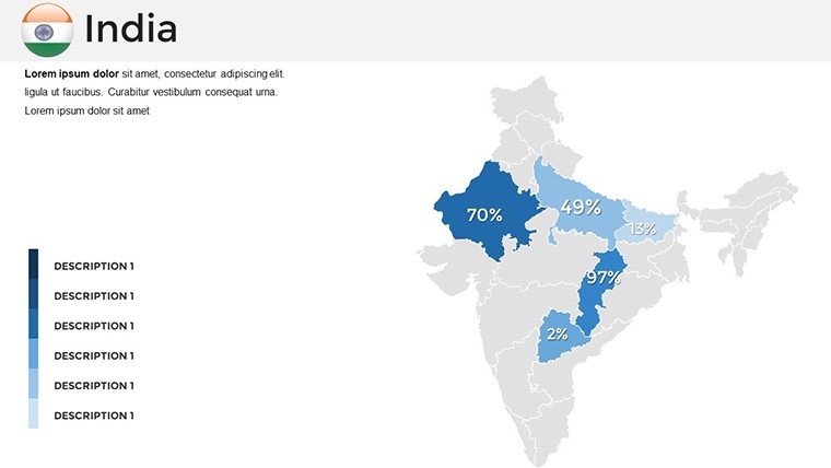
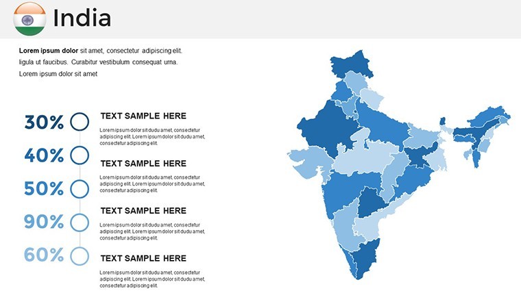
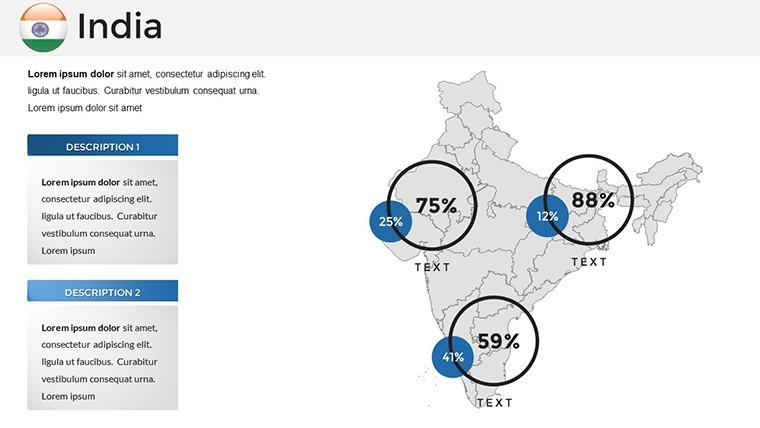
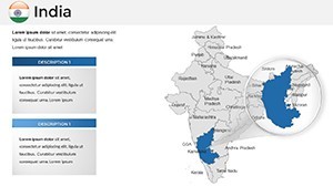
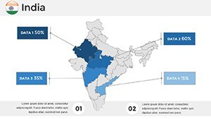
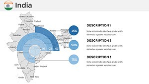
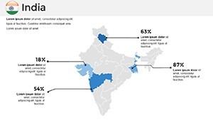
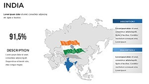
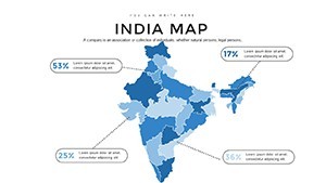
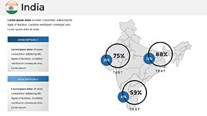
Let's walk through a curated selection of slides that exemplify the template's depth. Slide 5, for instance, features a dynamic choropleth map of India's GDP distribution - color-code states by growth rates and watch as tooltips pop up with stats from the latest World Bank analysis. Ideal for financial analysts presenting to venture capitalists, this slide saves hours of manual data plotting.
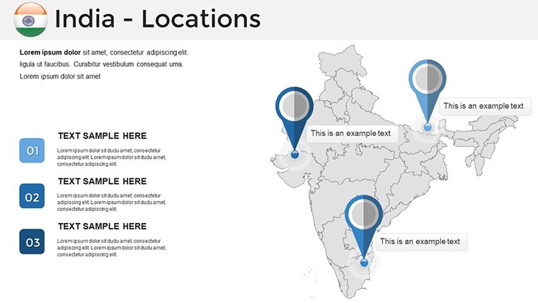
Fast-forward to Slide 18: A multi-layered urban sprawl diagram focusing on metro connectivity. Overlay rail lines, airports, and highways with editable paths, then animate routes to simulate travel times - perfect for tourism boards promoting heritage circuits. Users rave about how this turns abstract infrastructure talks into tangible journeys.
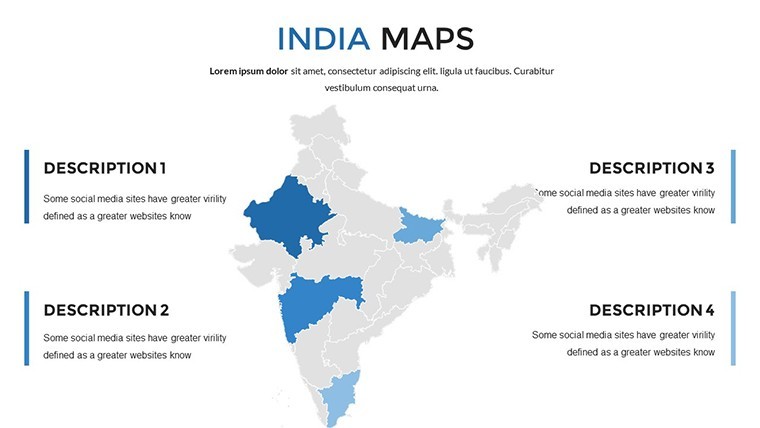
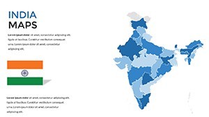
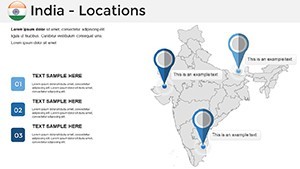
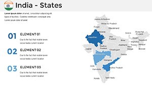
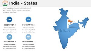
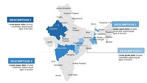
- Introductory Overview (Slides 1-4): Clean title slides with a panoramic India silhouette, setting a professional tone with subtle Hinglish taglines for cultural resonance.
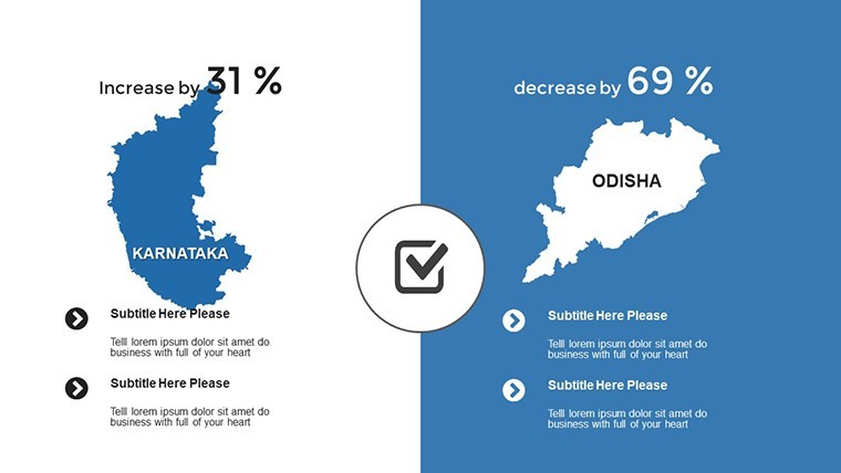
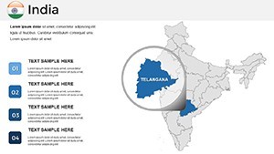
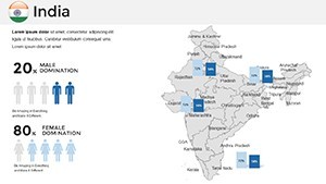
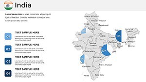
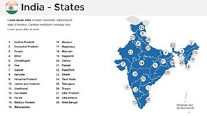
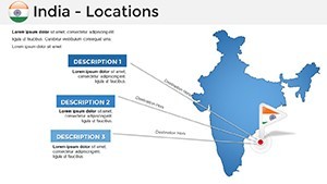
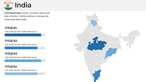
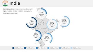
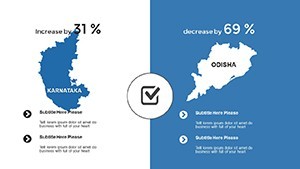
- Core Mapping Suite (Slides 5-20): Detailed regional spotlights, including Northeast biodiversity maps for conservation pitches.
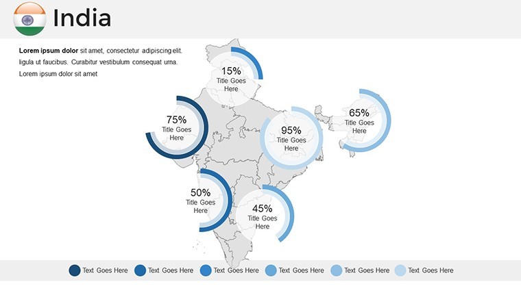
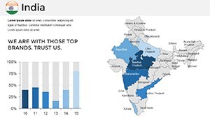
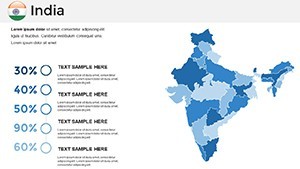
- Data Visualization Hub (Slides 21-30): Bar graphs fused with territory outlines, like rainfall patterns influencing agricultural yields.
- Closing Impact (Slides 31-36): Summary infographics and thank-you slides with QR codes linking to interactive online versions.
Real-World Applications: From Boardrooms to Classrooms
In the fast-paced world of Indian business, where presentations often decide funding or partnerships, this template shines. Take Rajesh, a Mumbai-based architect who used our maps to visualize a coastal redevelopment project - layering flood risk data over city grids to sway city planners. His pitch, aligned with NDMA guidelines, secured approval in record time. Or consider Priya, a Delhi university lecturer, who animated migration flows during a sociology seminar, making abstract census data feel immediate and empathetic.
For global teams, the template's export options ensure compatibility with collaborative tools like Slack or Zoom, while its LSI-rich design - think "editable state boundaries" and "themed geographical infographics" - boosts discoverability in searches for "Keynote India presentation tools." Compared to stock PowerPoint add-ons, our Keynote-native format avoids conversion glitches, delivering smoother animations and precise alignments.
Pro Tips for Maximizing Your Presentation Workflow
To elevate your delivery, start by importing your dataset via Keynote's built-in CSV tool, then use the template's smart guides for pixel-perfect placements. For humor-infused talks, add playful icons like a chai cup on trade route maps - lightening the mood without diluting professionalism. Always test on different devices; our retina-ready assets ensure no pixel peeks during hybrid meetings.
Integrate with other apps? Pair it with MindMeister for brainstorming regional strategies, or export frames to Canva for social teasers. The result? Presentations that not only inform but ignite discussions, turning viewers into advocates.
Why Choose This Over Generic Mapping Tools?
Unlike free online generators that churn out pixelated PNGs, our template offers true editability - resize Punjab without warping its shape, recolor Tamil Nadu to match your palette, all in native Keynote. It's not just a tool; it's a strategic asset, backed by design principles from pros who've presented at Davos-level forums. Time savings alone? Up to 70% faster prep, per user feedback, freeing you for rehearsal and refinement.
Ready to map your success? Download the India Maps Keynote Template today and chart a course to unforgettable presentations. Your next big win starts with a single slide.
Frequently Asked Questions
What makes these maps accurate for professional use?
Our maps draw from official sources like the Survey of India, ensuring up-to-date boundaries and features for reliable pitches.
Can I use this template for Google Slides?
While optimized for Keynote, you can export to PDF or images for Slides, though animations may need recreation.
How do I add my own data to the infographics?
Simply copy-paste from Excel into Keynote's chart editor; the template's placeholders guide you seamlessly.
Is there support for regional languages?
Yes, fonts support Devanagari and other scripts - ideal for multilingual audiences.
What's the file size for quick sharing?
Under 50MB, zipping easily for email or cloud uploads without compression loss.