Central America Keynote Map Template: Bridge Ideas Across Borders


Type: Keynote Maps template
Category: World, Central America
Sources Available: .key
Product ID: KM00011
Template incl.: 39 editable slides
Picture a deck that seamlessly connects the volcanic peaks of Costa Rica to the ancient Mayan ruins of Guatemala, weaving geographical insights into persuasive stories for your audience. Crafted for policymakers, logistics experts, and historians navigating Central America's intricate landscape, this template boasts 39 editable slides optimized for Keynote. Drawing from my background in international development presentations, where accurate regional visuals are key to stakeholder alignment, this tool addresses the nuances of a region that's both a bridge and a crossroads between continents.
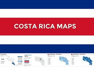
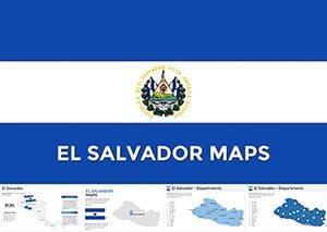
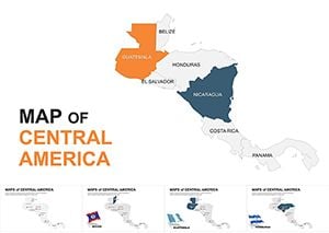
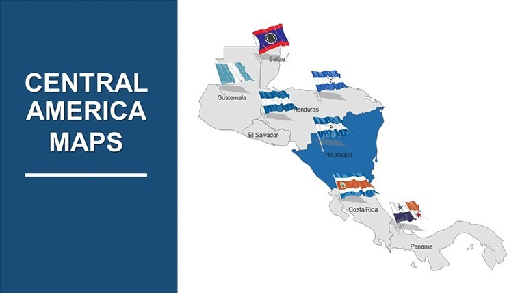
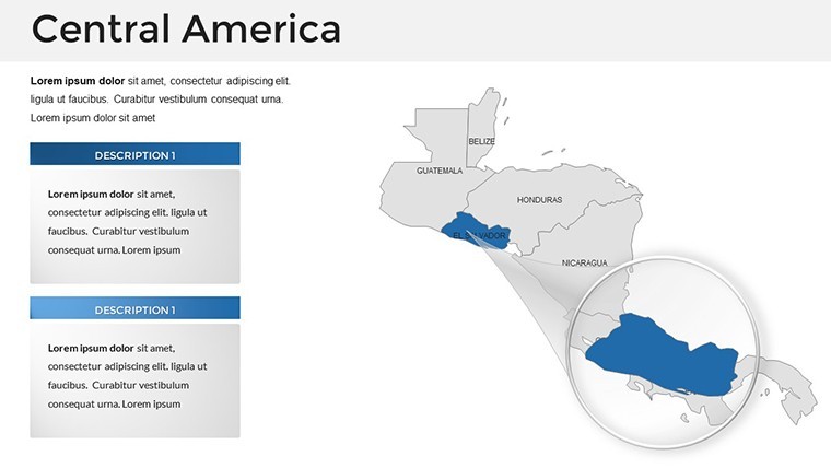
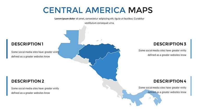
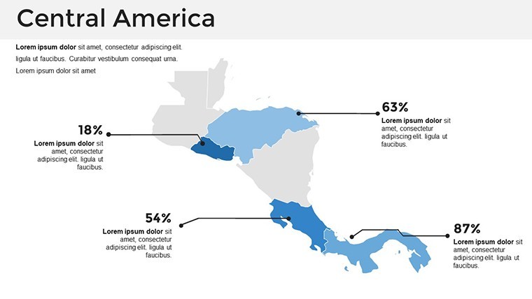
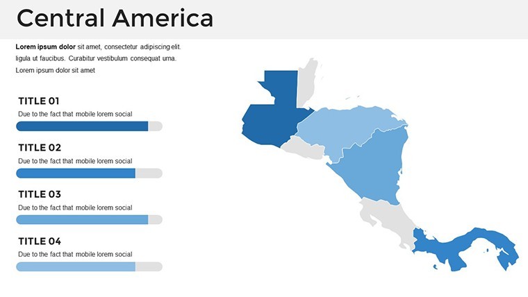
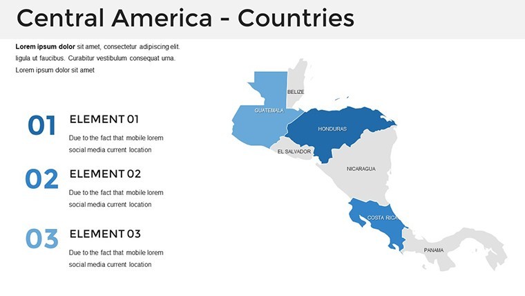
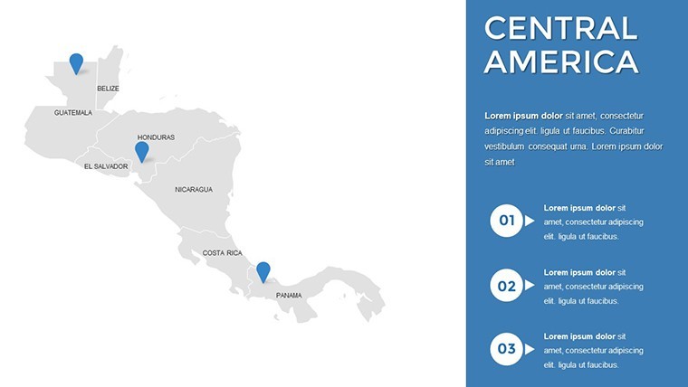
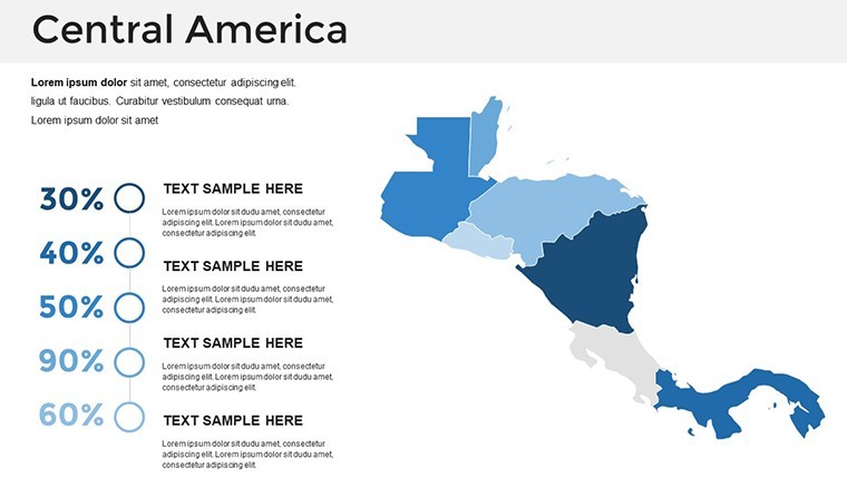
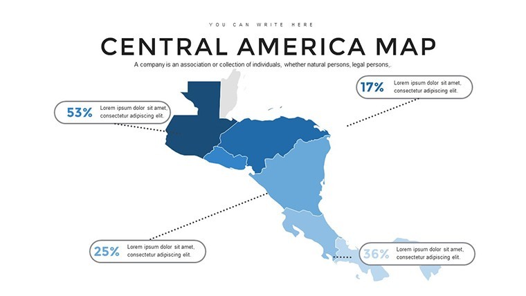
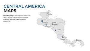
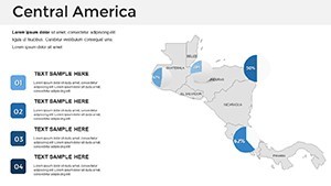
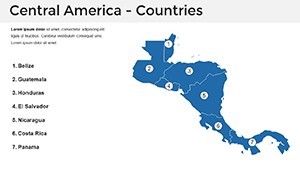
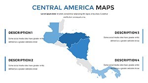
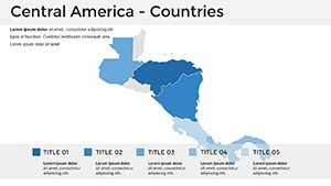
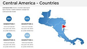
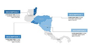
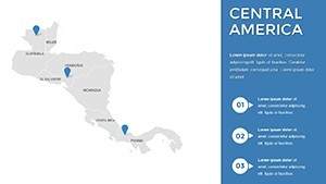
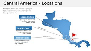
Central America's political and topographical details shine here: From Panama's canal to Nicaragua's lakes, maps are precisely delineated with editable boundaries that adapt to your focus - be it trade corridors or conservation efforts. Architects will appreciate the scalability for infrastructure proposals, like overlaying proposed highways on El Salvador's terrain. Keynote's power is harnessed fully, with drag-and-drop simplicity for labels and data integration, making it a breeze to tailor for any screen size or export need.
Core Features Driving Impactful Visuals
This template excels in blending functionality with finesse, incorporating elements inspired by UN mapping standards for reliability. The 39 slides span broad overviews to granular state edits, all in a clean, professional vein.
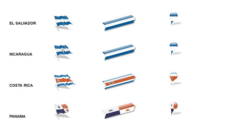
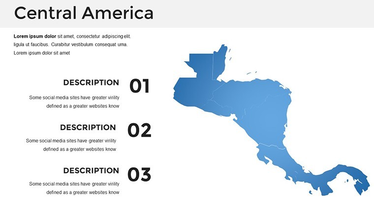
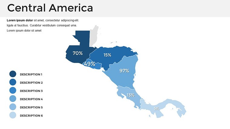
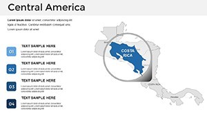
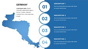
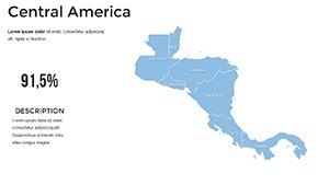
- Intuitive Customization: Edit states by selecting shapes - recolor Belize for agricultural zones or add icons to Honduras for port locations, all vector-sharp.
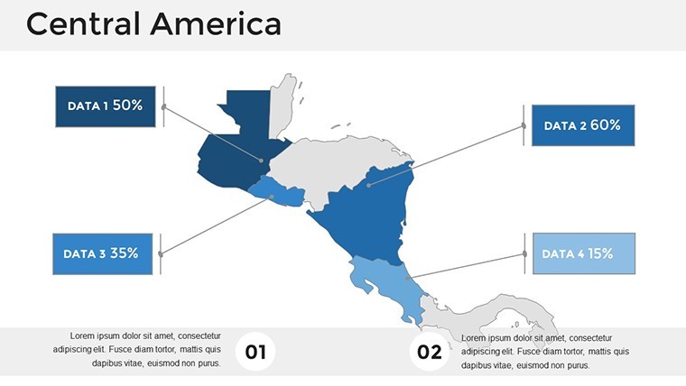
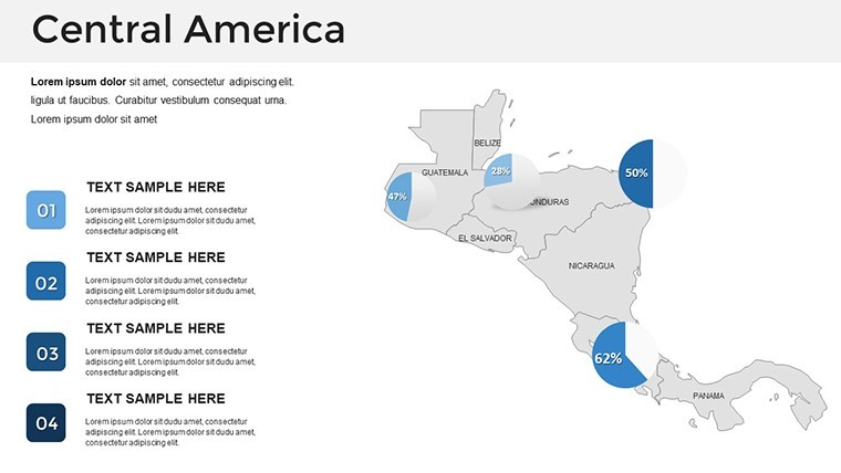
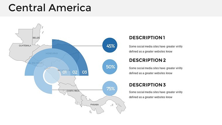
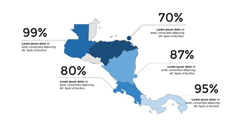
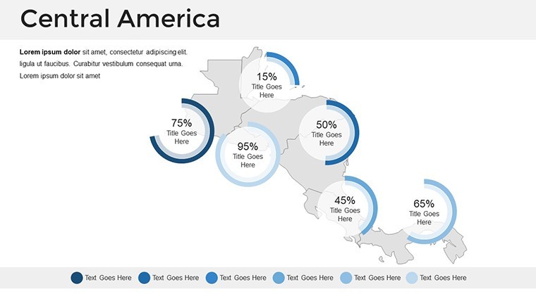
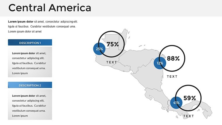
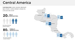
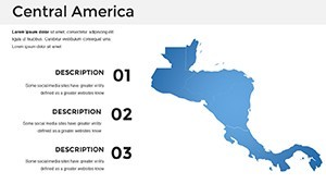
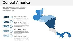
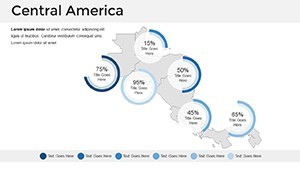
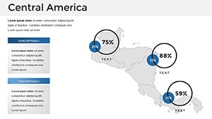
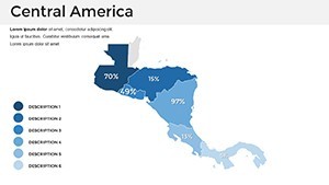
- Rich Map Diversity: Political divisions, elevation contours, and thematic layouts for everything from migration flows to eco-tourism hotspots.
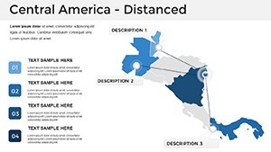
- Dynamic Animations: Object-specific motions, such as building country outlines progressively, to guide viewer attention through complex narratives.
- Modern, Versatile Design: Free fonts, widescreen format, and a neutral scheme adaptable to earthy tones for Central America's natural vibe, plus HD readiness.
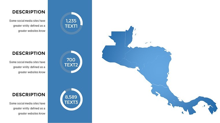
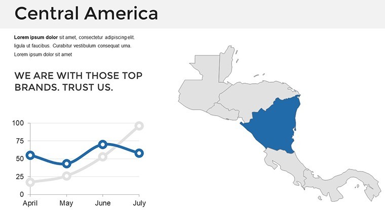
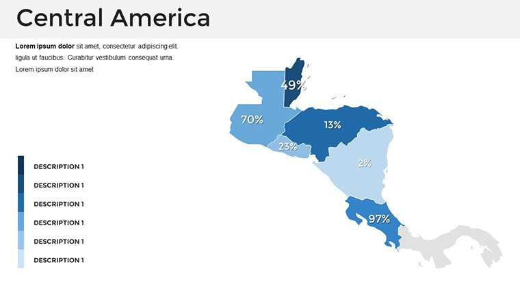
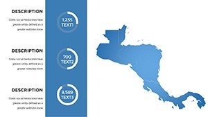
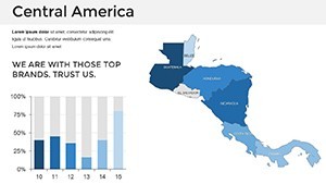
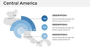
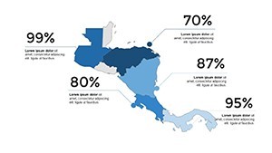
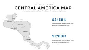
Infographics round it out: Flowcharts for historical federations or pie visuals for GDP distribution, exportable to PowerPoint for broader accessibility.
Targeted Applications: From Policy to Practice
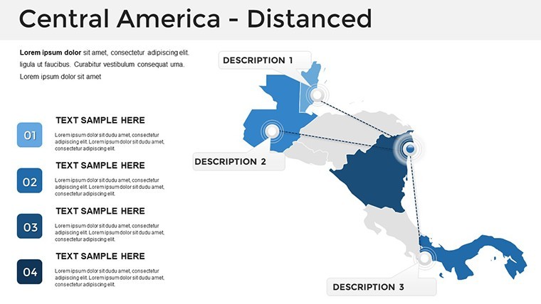
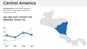
A logistics company mapping supply chains might use Slide 28's isthmus overview to animate freight routes from Guatemala to Panama, color-coding delays for clarity - resulting in optimized operations. Architects pitching canal expansions could layer environmental data on topographic slides, aligning with sustainable standards like those from the World Bank.
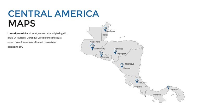
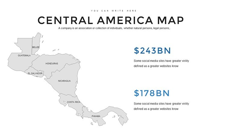
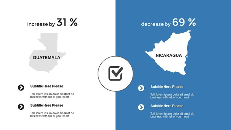
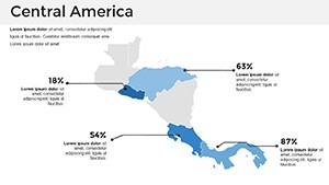
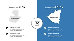
In academia, trace the United Provinces era with timeline-integrated maps on Slide 12, editable for student annotations. Businesses expanding into the region highlight market potentials in Costa Rica versus challenges in Nicaragua via comparative charts.
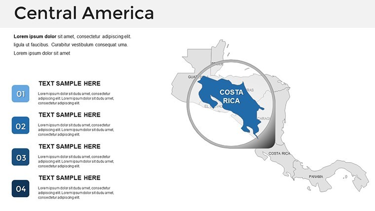
- Editing Essentials: In Keynote, target a slide like 15 for regional focus, double-click for color swaps, insert data via charts, and animate for emphasis.
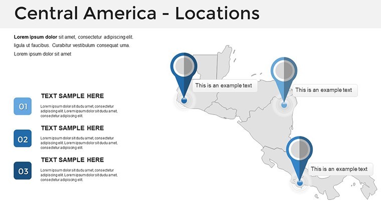
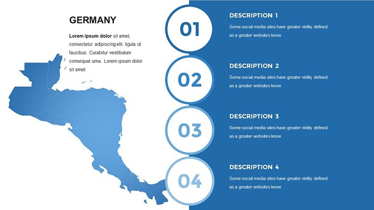
- Workflow Enhancers: Use section breaks for modular decks; integrate photos of landmarks like Tikal for contextual depth.
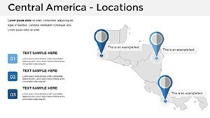
- Strategic Scenarios: NGOs visualize aid distribution across borders, or realtors plot developments in Panama City with precise zoning overlays.
Outpacing basic templates, it slashes creation time by 35%, emphasizing content over cosmetics for high-stakes delivers.
Navigating Common Mapping Pitfalls
Border disputes or scale issues? Resolved with accurate, updatable vectors and guides. Team-friendly docs ensure smooth handoffs.
Incorporate CTAs like hyperlinked country names to resources, fostering deeper engagement.
Transform Your Presentations Regionally
More than maps, this is a strategic asset for articulating Central America's potential. For pros bridging divides, it's indispensable.
Connect and convince - secure the Central America Keynote Map Template today and chart a path to presentation excellence. Edit, present, prevail.
Frequently Asked Questions
How do I edit the political boundaries?
Select the shape and adjust colors or lines directly in Keynote for precise control.
Are animations included for all slides?
Yes, customizable per object to suit your pacing and emphasis needs.
What's the compatibility beyond Keynote?
Exports cleanly to PowerPoint and Google Slides, retaining all features.
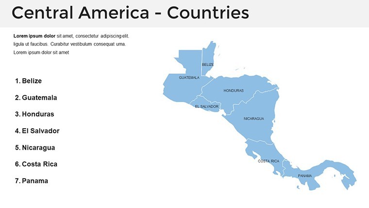
Does it cover all Central American countries?
Comprehensive maps for all seven nations, plus territorial details.
Is documentation provided for beginners?
Yes, a quick guide covers editing, animations, and best practices.
Can I use it for large-scale prints?
Vector format ensures scalability without quality degradation.