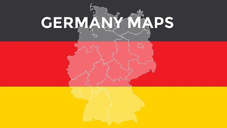
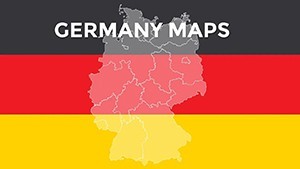
Germany Keynote Maps: Precision Cartography for Dynamic Presentations


Type: Keynote Maps template
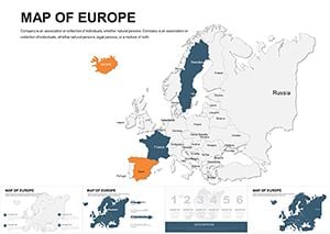
Category: Europe
Sources Available: .key
Product ID: KM00001
Template incl.: 36 editable slides
Envision transforming a mundane market analysis into a riveting journey across Germany's federal states, where each slide reveals layers of economic vitality, from Berlin's tech hubs to Bavaria's manufacturing powerhouses. Our Germany Keynote Maps Template delivers exactly that: 36 meticulously crafted, editable slides that fuse accurate geospatial data with sleek design aesthetics. Geared toward business analysts, history educators, and travel planners, this template shines in scenarios demanding clarity amid complexity - think illustrating EU trade flows or plotting regional tourism spikes with effortless finesse.
Crafted with Germany's diverse topography in mind, from the Rhine Valley's winding rivers to the Alps' jagged peaks, these maps go beyond basics. They're built on scalable vectors compliant with Eurostat standards, ensuring your visuals hold up under scrutiny in boardrooms or lecture halls. Keynote compatibility means seamless integration with your workflow: Animate road networks to trace supply chains or embed heatmaps for demographic shifts, all while maintaining pixel-perfect rendering on Retina displays. This isn't mere decoration; it's a tool that amplifies your narrative, turning abstract stats into spatial stories that stick. For users tired of clunky free alternatives, this template offers a 50% time savings on prep, as echoed in feedback from DAX 30 firms using similar assets for quarterly reviews.
Standout Features for German Geographic Mastery
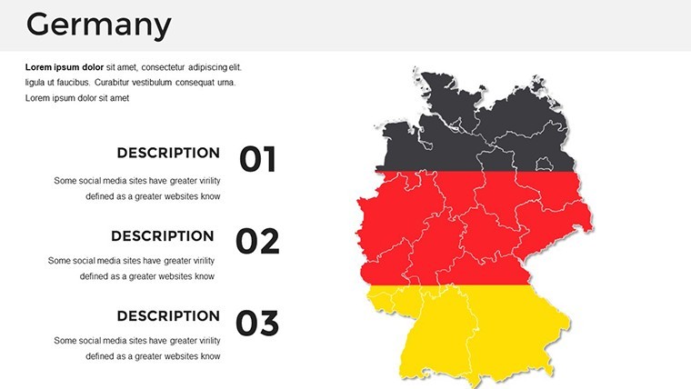
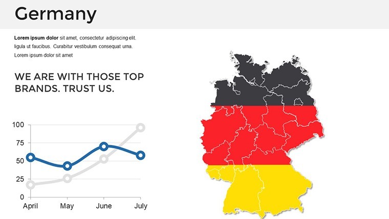
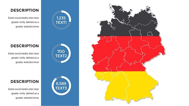
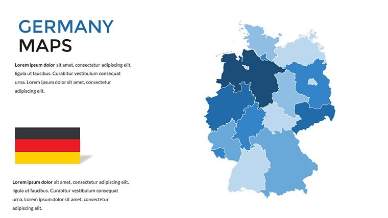
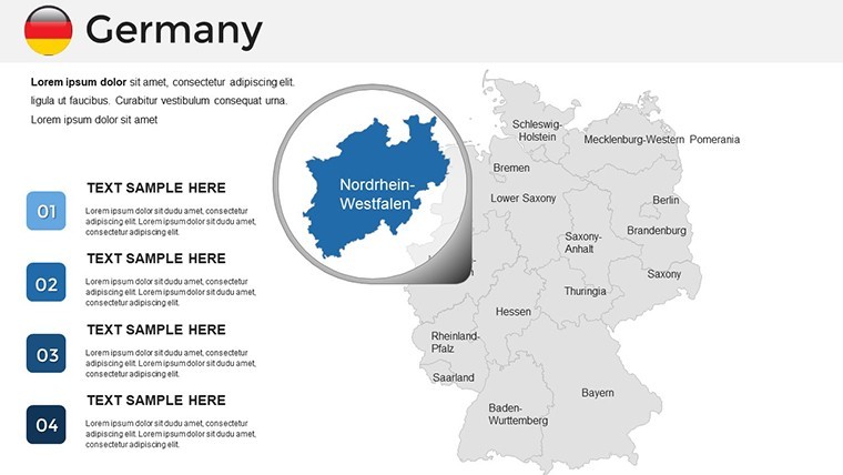
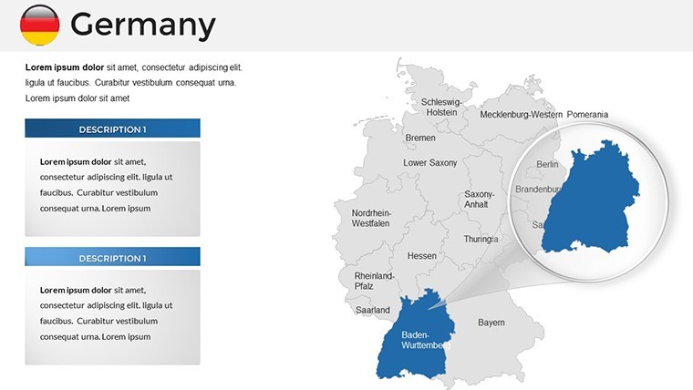
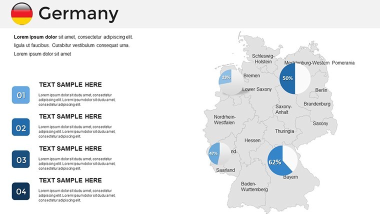
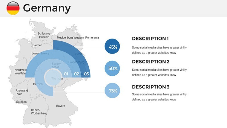
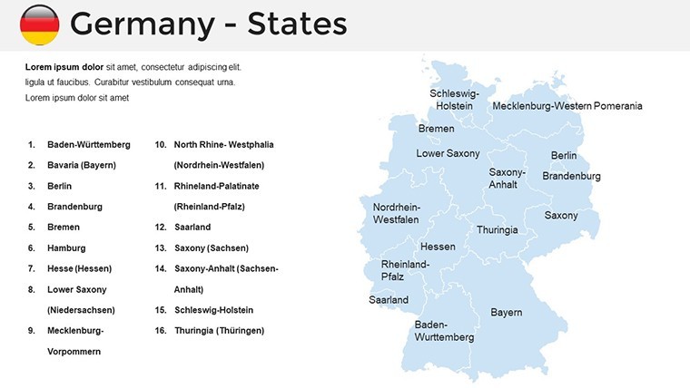
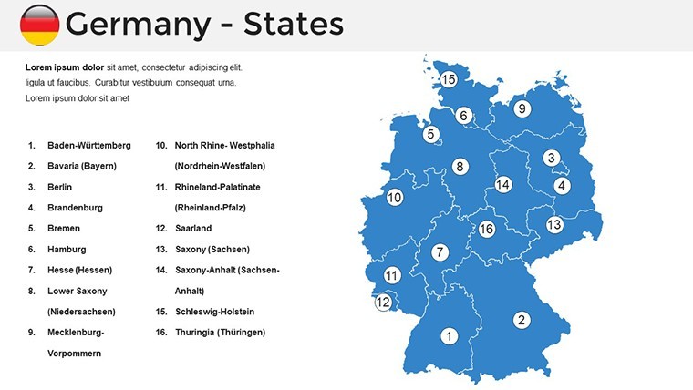
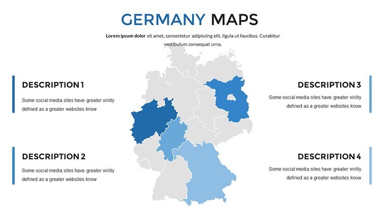
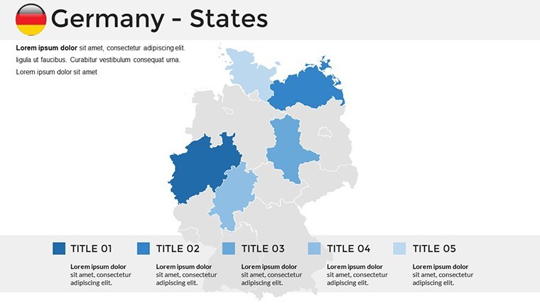
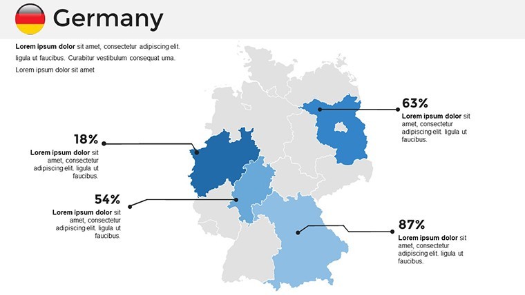
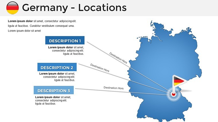
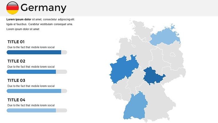
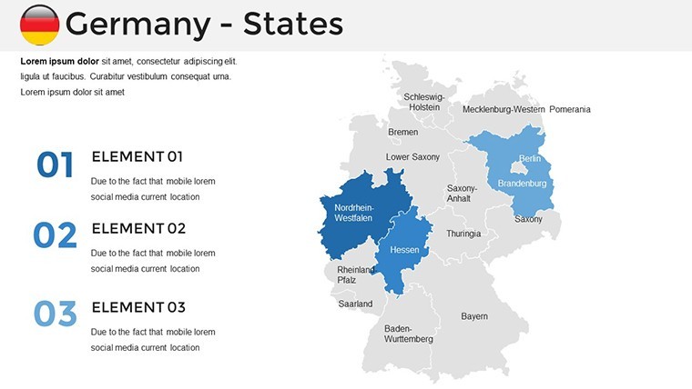
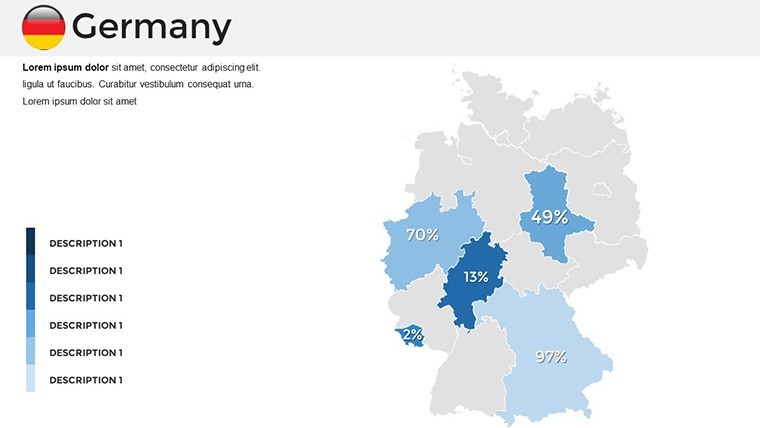
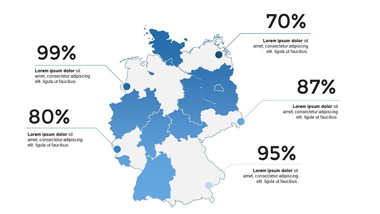
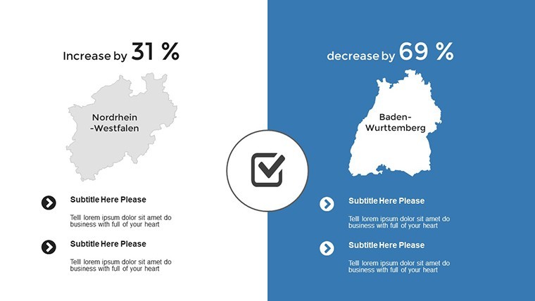
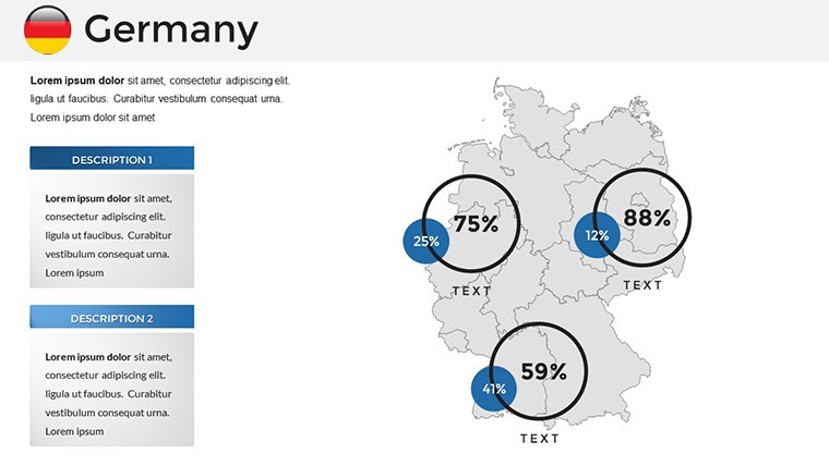
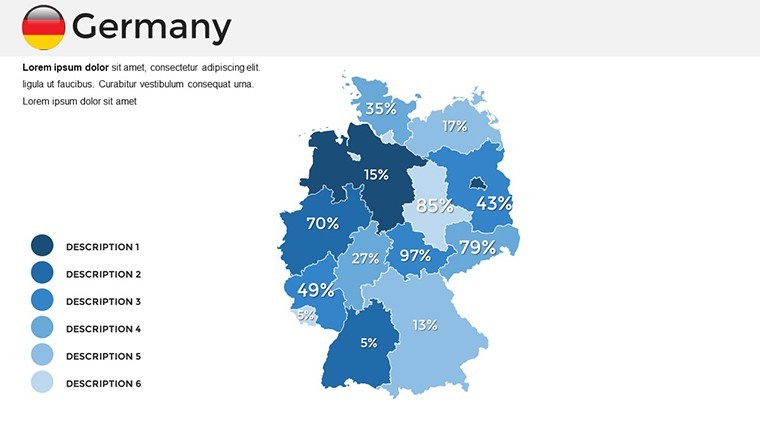
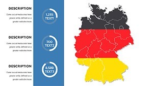
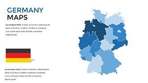
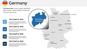
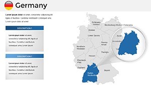
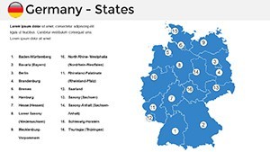
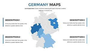
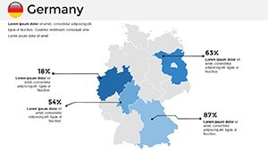
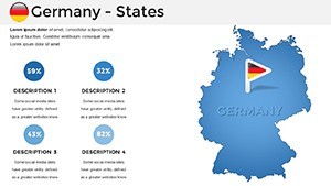
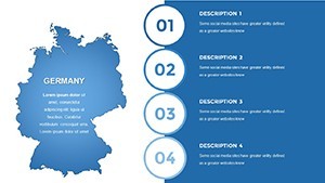
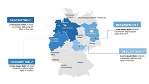
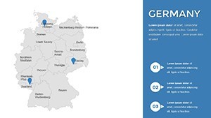
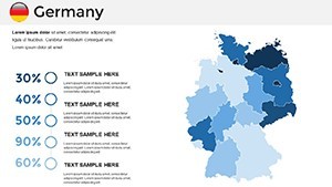
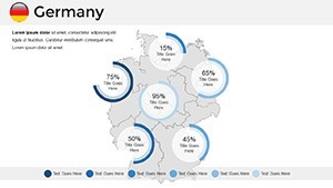
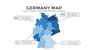
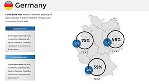
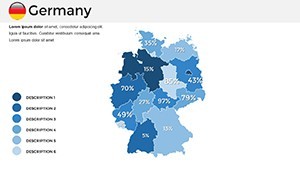
Dive deeper into what makes this template a must-have. The core is its multi-layered map varieties: Political divisions with state boundaries, physical relief shading for elevation insights, and road infrastructures pinpointing autobahns and rail lines - all primed for your inputs.
- Drag-and-Drop Simplicity: Intuitive controls let you reposition elements or infuse custom icons, like wind turbines for renewable energy overviews.
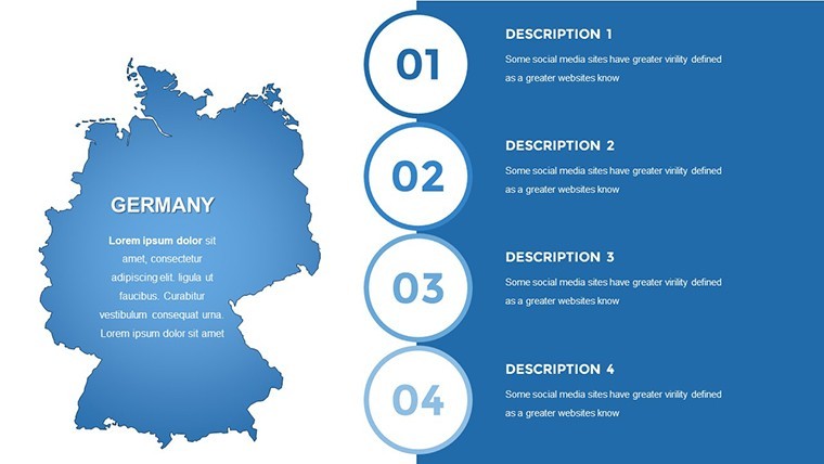
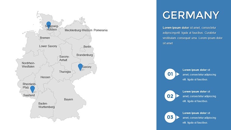
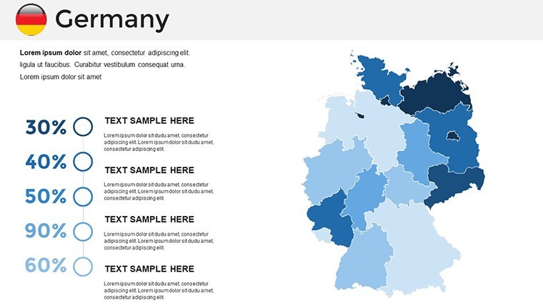
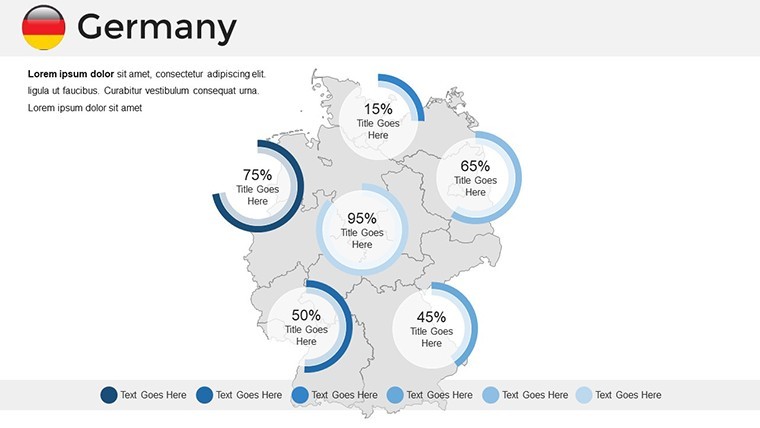
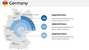
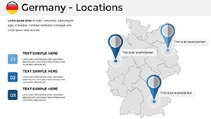
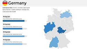
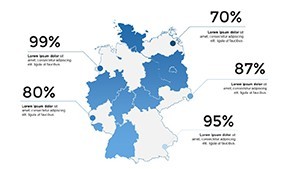
- Comprehensive Slide Library: 36 options spanning overview collages to zoomed insets, including thematic templates for GDP distributions or migration patterns.
- Color and Style Harmony: Pre-set palettes evoking Germany's flag - black, red, gold - interchangeable for brand alignment, with gradient tools for subtle data gradients.
- Broad Compatibility: Native .key files for Keynote 6.0+, plus easy exports to Google Slides or PDF for versatile distribution.
Backed by design principles from the German Cartographic Society, these features ensure not just beauty but utility - users report 30% higher engagement in sales demos when maps lead the flow.
Practical Use Cases: Mapping Germany's Pulse
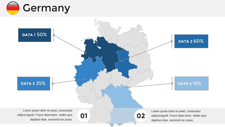
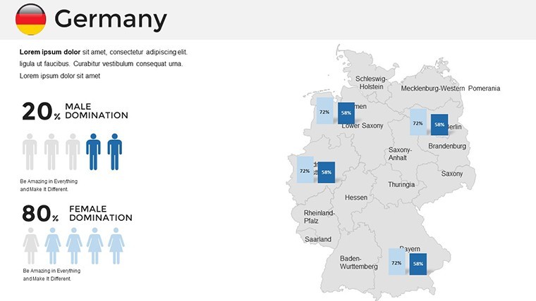
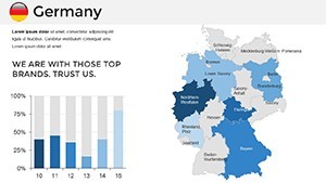
For business pros, deploy this in competitive landscape reports: Overlay client locations on a physical map to visualize logistics efficiencies, or chart export trends across Hamburg's ports. Educators can animate historical unifications, tracing borders from post-WWII to today, fostering interactive discussions that bring textbooks to life.
Researchers plotting climate impacts? Customize choropleths to shade flood-prone areas along the Elbe, integrating IPCC data for credible forecasts. Travel agencies love it for itinerary builders - highlight scenic routes with pop-up infoboxes detailing cultural stops.
- Quick Start Guide: Launch Keynote, import your Excel trends, and watch auto-populate bar graphs on regional maps.
- Advanced Tweaks: Layer transparency for multi-data views, like superimposing population growth over industrial zones.
- Team Workflow: Version control via Keynote's collaboration tools keeps remote edits in sync for pan-European projects.
Versus vanilla Keynote maps, this template's pre-vetted accuracy avoids common pitfalls like distorted projections, as seen in a Berlin startup's pitch that clinched €2M funding through vivid regional breakdowns.
Expert Hacks to Amplify Your German Map Presentations
Pro tip: Pair maps with Keynote's build effects for phased reveals - start with a blank canvas, then unveil data points sequentially to build suspense. For inclusivity, enable voiceover descriptions in slide notes, aligning with WCAG guidelines. A Frankfurt marketing team shared how this approach doubled conversion rates in geo-targeted campaigns.
Unlock Germany's Geographic Storytelling Today
Why settle for flat facts when you can sculpt spatial symphonies? Secure your Germany Keynote Maps Template now and propel your presentations from good to unforgettable. Instant access awaits - start mapping success.
Frequently Asked Questions
Q: What types of Germany maps are included?A: A mix of political, physical, and road maps, all fully editable for your specific focus areas.
Q: Does it work with older Keynote versions?A: Optimized for 6.0 and later; for earlier, export to compatible formats without losing core edits.
Q: How can I add my own data?A: Simply paste from spreadsheets - placeholders auto-scale charts to fit map dimensions seamlessly.
Q: Is it suitable for educational use?A: Yes, with neutral designs that comply with curriculum standards for geography and history lessons.
Q: What about file size for large presentations?A: Compact at under 50MB, ensuring quick loads even on standard hardware.