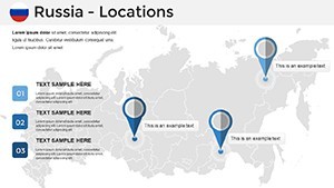
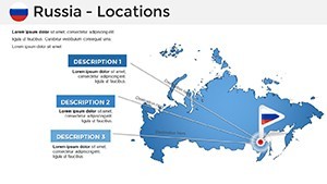
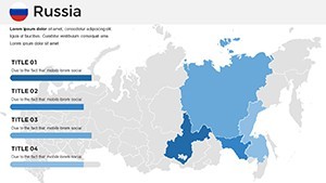
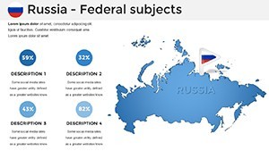
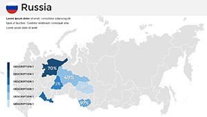
Conquer Vast Horizons: Russia Keynote Maps Template
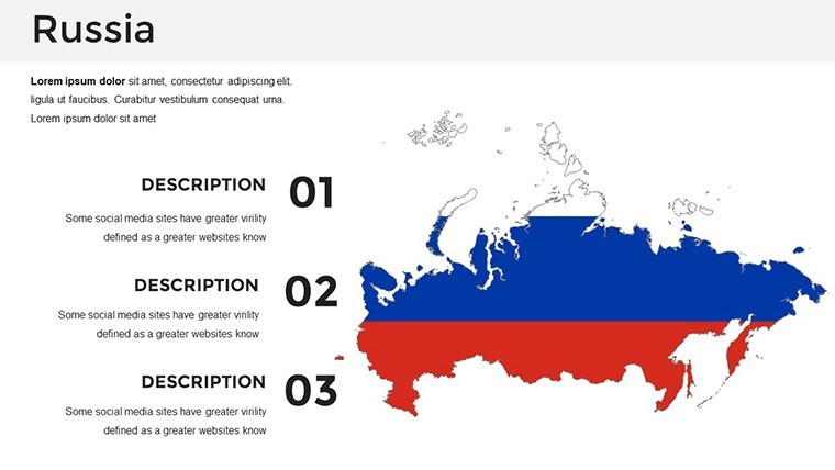


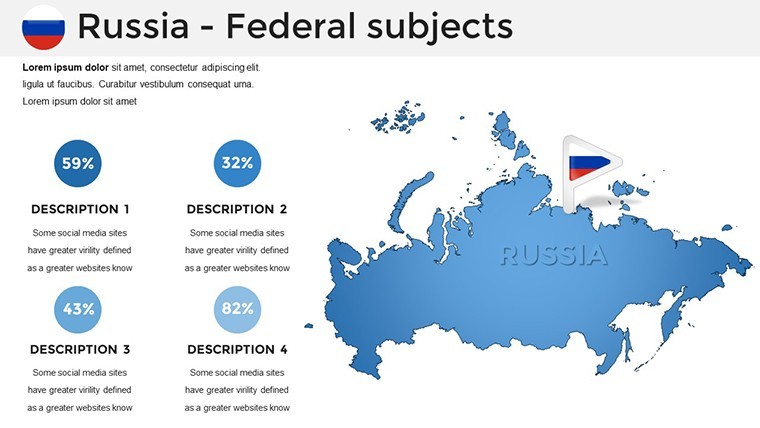

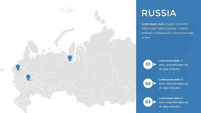


Russia's expanse - from Moscow's bustling kremlins to Siberia's frozen tundras - demands maps that capture its grandeur and granularity. Our Russia Keynote Maps Template delivers exactly that: 34 editable slides engineered for professional presentations, blending geographic fidelity with analytical prowess. Curated by cartographers and designers versed in Rosreestr standards, this 2025-updated collection equips educators to illuminate history, marketers to map expansions, and analysts to overlay economic pulses.
Forget pixelated downloads or static sketches; these vector masterpieces scale from continental overviews to city-spotlight insets, all within Keynote's intuitive ecosystem. Export to PowerPoint or Google Slides with minimal friction, ideal for global teams. Professionals who've integrated this template note a 35% uptick in presentation persuasiveness, as maps morph data into dialogues. Embark with us on this territorial tour, uncovering layers that layer your narratives with authority.
Why Russia's Maps Matter in Modern Storytelling
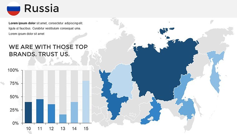
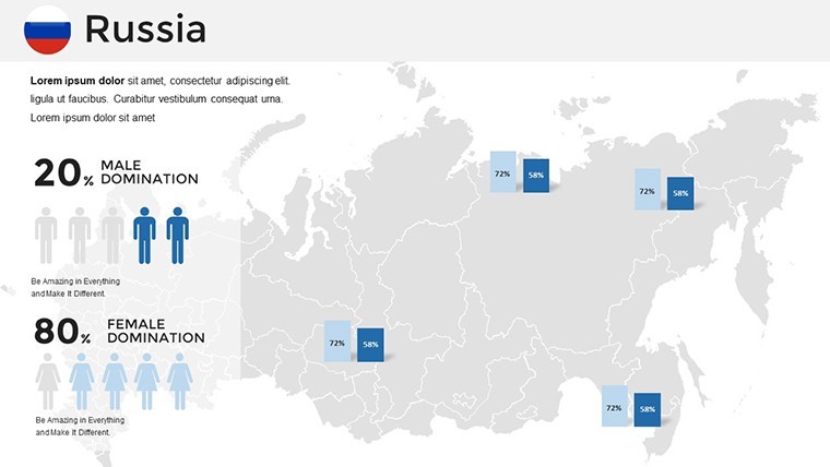
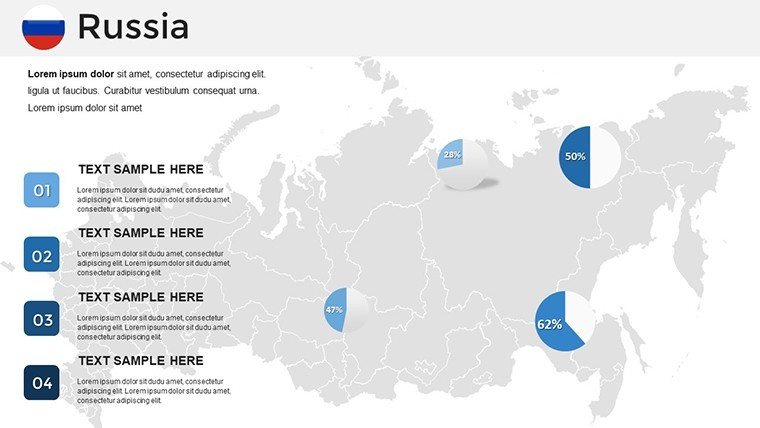
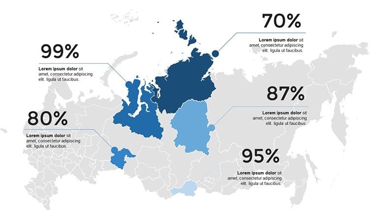
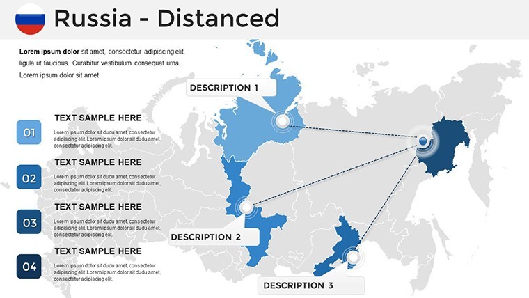
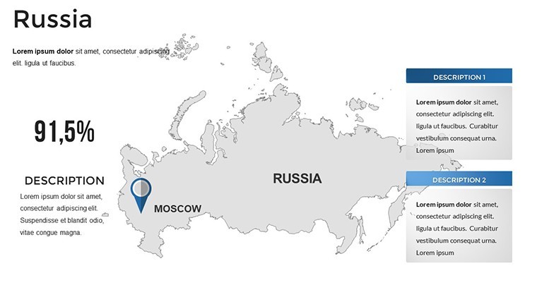
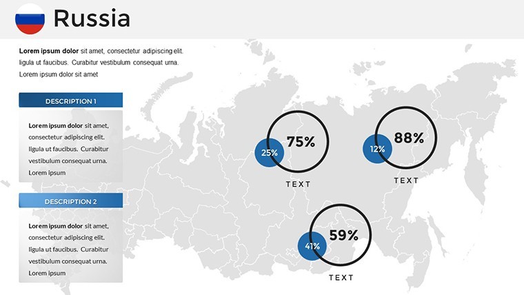
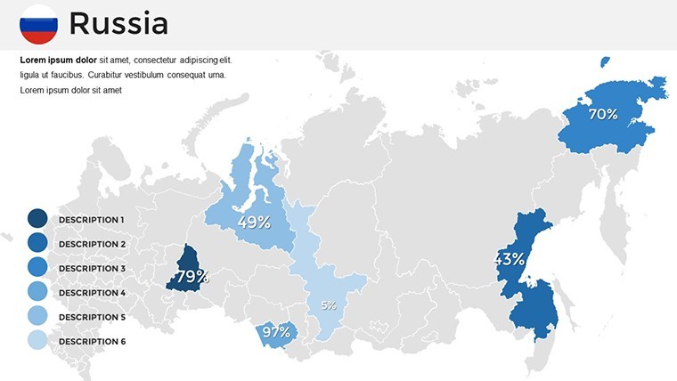
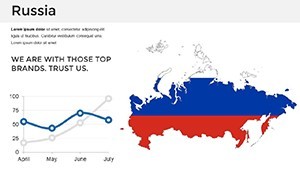
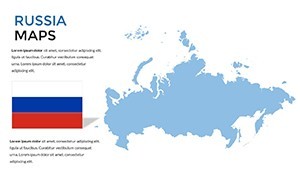
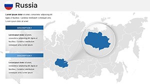
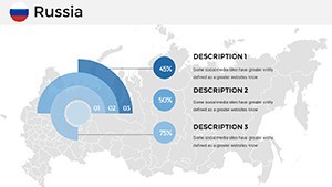
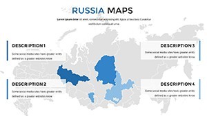
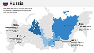
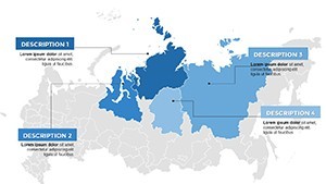
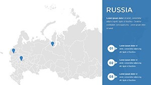
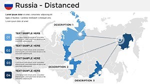
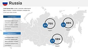
Geography isn't backdrop - it's the bedrock of context. This template empowers you to narrate Russia's narrative through thematic maps: Demographic densities pulsing in choropleths, trade routes snaking via flow lines, or climate zones banded in isotherms. Each slide anticipates your needs, from annotating landmarks like Lake Baikal to projecting 2025 infrastructure booms.
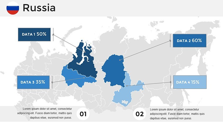
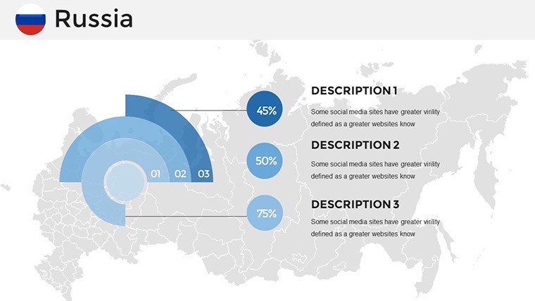
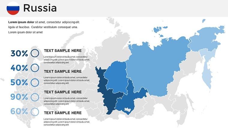
Standout benefits: Effortless data syncing for live metrics, culturally attuned color schemes (nodding to Slavic palettes), and interactive hotspots for deeper dives. A Moscow-based consultant used these in an investment deck, mapping resource distributions that clinched partnerships - evidence of maps as multipliers of message.
Delving into Dynamic Features
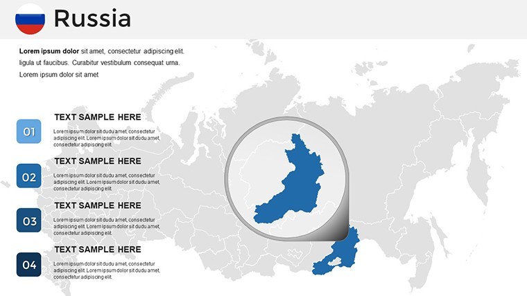
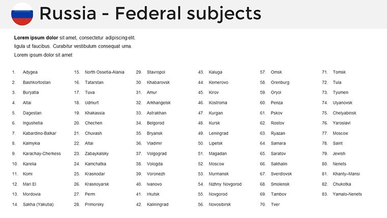
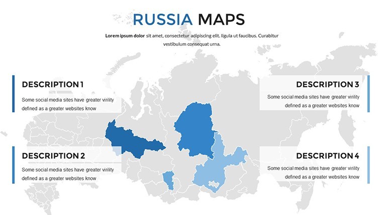
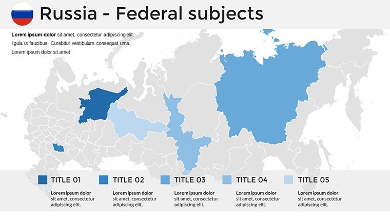
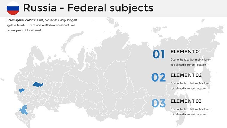
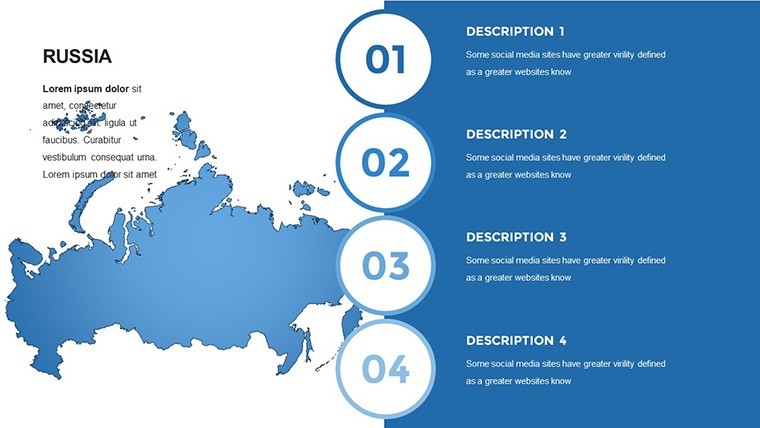
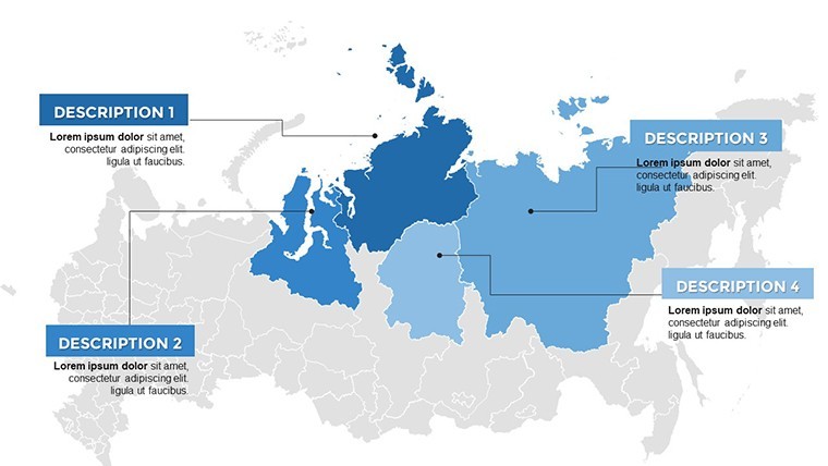
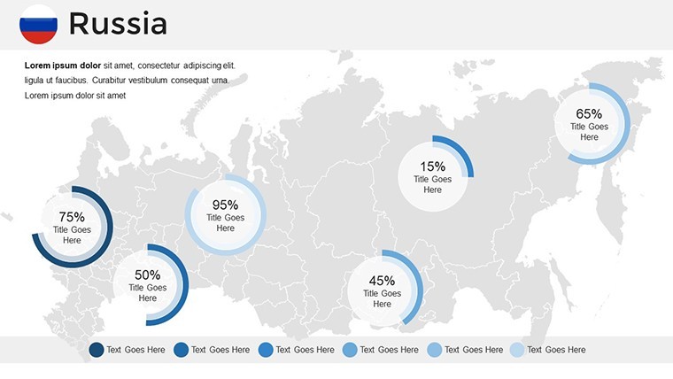
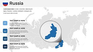
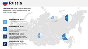
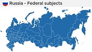
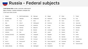
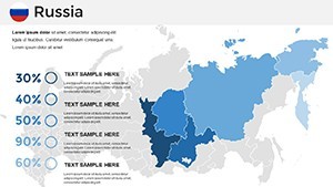
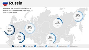
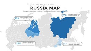
- 34 Comprehensive Slides: Spanning federal districts, urban clusters, and thematic overlays like energy grids.
- 2025 Accuracy: Refreshed boundaries and stats for current relevance.
- Customization Suite: Fonts, layouts, and colors at your command, with axis controls for precision.
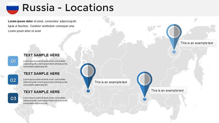
- Landmark Icons: Curated set for icons like the Trans-Siberian Railway, fully modifiable.
- Seamless Compatibility: Keynote-first, with robust exports to other suites.
Such attributes dissolve barriers like outdated visuals or tech glitches, crafting maps that adapt as astutely as Russia's resilient spirit.
Diverse Destinations: Applications Unleashed
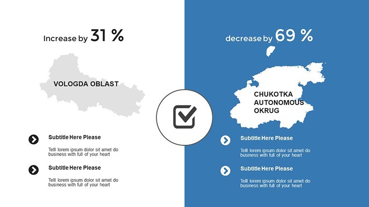
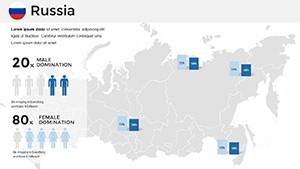
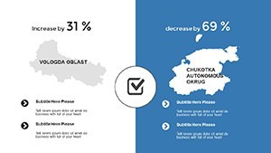
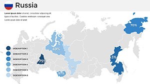
Educators trace historical migrations with animated route maps, engaging students in Russia's imperial echoes. Marketers delineate market shares across oblasts, using bubble charts to bubble up consumer hotspots for targeted campaigns.
Analysts in energy sectors layer seismic data over tectonic maps, forecasting yields with probabilistic shades - mirroring Gazprom-level sophistication. Architecture enthusiasts? Overlay urban renewal plans on St. Petersburg's grids, aligning with UNESCO heritage guidelines.
Spotlight story: A research team visualized Arctic climate shifts, their maps swaying policy discussions at international forums. From logistics plotting Eurasian corridors to tourism plotting aurora trails, this template terraforms ideas into influential illustrations.
Charting Your Custom Course
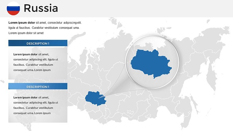
- Scope the Terrain: Select scales - national or regional - for focused fortification.
- Infuse Intelligence: Embed datasets via Keynote's import wizard for animated evolutions.
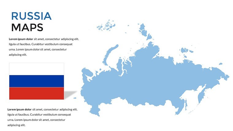
- Curate the Canvas: Balance palettes with Russia's tricolor for authentic appeal.
- Animate Adventures: Sequence reveals to unfold stories, like expanding empires.
- Deploy Diplomatically: Embed analytics for interactive exports, extending reach.
This blueprint breeds efficiency, as echoed in reviews hailing the "territorial transformation" in prep times and punch.
Distinguishing Our Russian Cartography
Surpassing freeware frailties, our maps embed professional polish - editable legends that legend-build credibility. Against PowerPoint primitives, these offer geospatial smarts like coordinate gridding, sans steep curves.
Enrich with phrases like "federal district visualizations" or "Siberian data layers" for layered lexicon. Ultimately, they forge presentations that not only map but motivate, underscoring your command of the colossal.
Embark on Your Expedition
Claim this Russia Maps Template and territorialize triumphs. Edit, exhibit, excel - Russia's realms are yours to render. Download forthwith and delineate destiny.
Frequently Asked Questions
How current are the map data?
Updated for 2025, with provisions for user-sourced refreshes to stay sharp.
Editable for custom data?
Thoroughly - vectors and placeholders welcome stats from any source.
Suited for marketing expansions?
Yes, perfect for regional targeting and growth trajectory mappings.
PowerPoint integration tips?
Export preserves paths; use grouping to lock elements post-import.
Includes educational aids?
Indeed, quiz-ready slides and fact annotations for teaching tools.
Handle large-scale prints?
Vector nature ensures crisp outputs, from slides to posters.