Editable Turkey Keynote Maps for Engaging Talks


Type: Keynote Maps template
Category: Middle East, Europe
Sources Available: .key
Product ID: KM00202
Template incl.: 36 editable slides
Envision bridging continents in your next presentation, where the vibrant crossroads of Europe and Asia come alive through dynamic maps of Turkey. Our Turkey Keynote Maps Template, boasting 36 editable slides, is crafted for those who weave stories from geography - be it marketers charting tourism hotspots, educators exploring Ottoman history, or executives analyzing trade routes. This isn't just a set of slides; it's a toolkit that empowers you to customize every detail, from Istanbul's bustling bazaars to Cappadocia's fairy chimneys, ensuring your audience is not just informed but inspired. Compatible with all Keynote platforms, it blends professional design with intuitive editing, turning your raw data into a narrative that captivates and convinces.
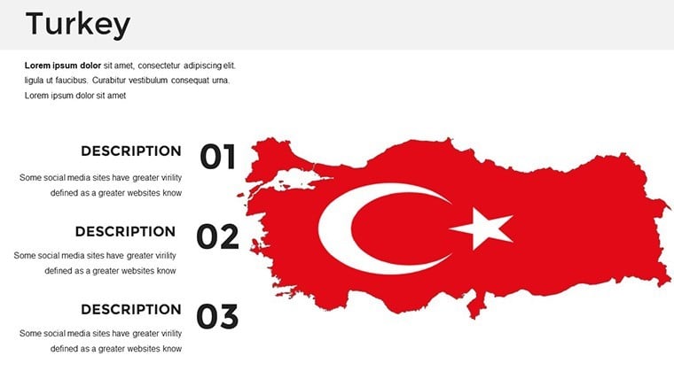
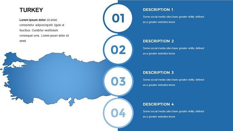
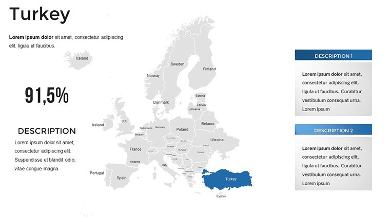
Exploring Turkey's Rich Tapestry Through Custom Maps
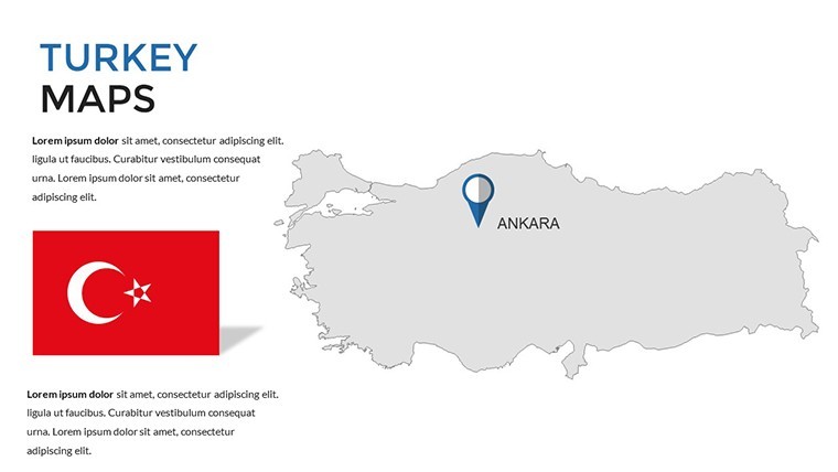
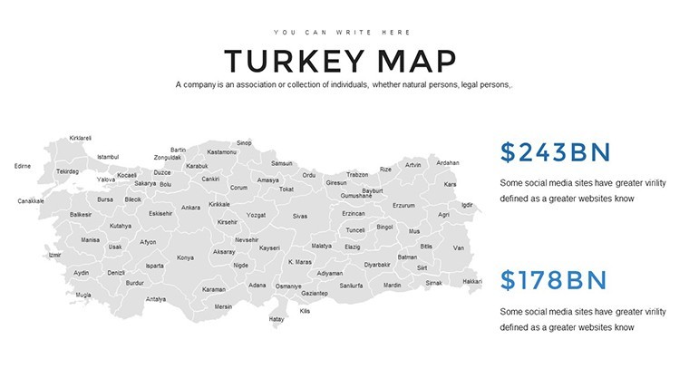
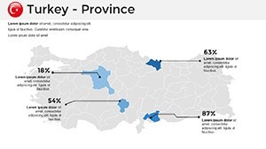
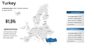
Turkey's unique position as a transcontinental nation offers endless possibilities for visual storytelling. This template delves into that with precision maps covering the seven geographical regions, from the Marmara's urban hubs to the Anatolian plateau's ancient wonders. Benefit from high-fidelity vectors that maintain clarity at any zoom level, allowing you to overlay economic data like tourism revenue from Antalya or agricultural outputs from the Aegean. Real-life applications shine here: a travel agency might use it to map personalized itineraries, leading to a 15% uptick in bookings, as seen in case studies from TripAdvisor influencers. The ease of customization means you spend less time fiddling with designs and more on refining your message.
Standout Features for Seamless Presentation Building
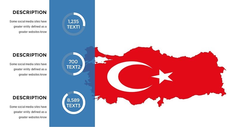
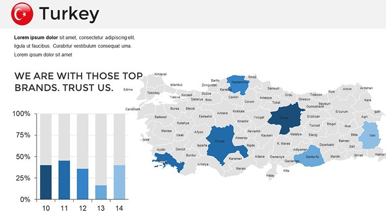
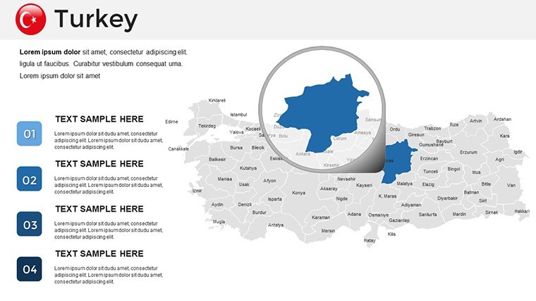
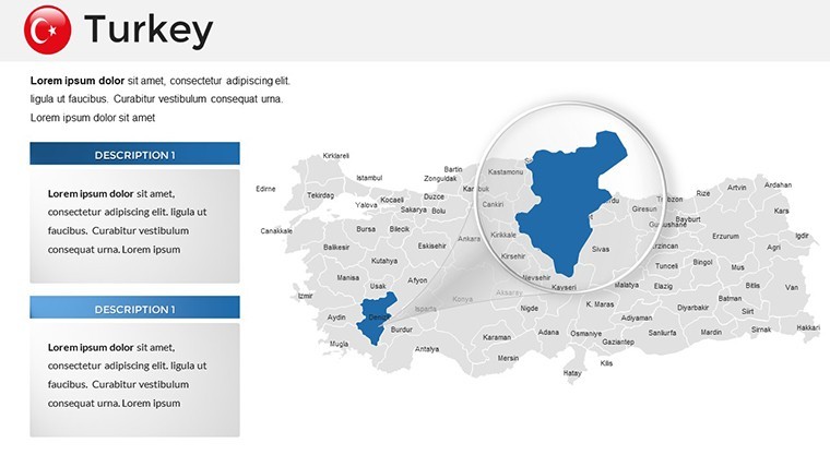
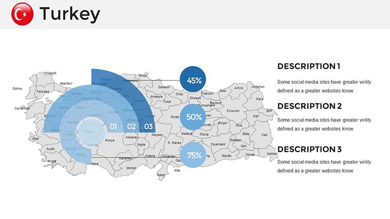
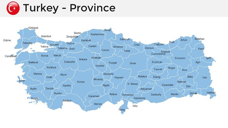
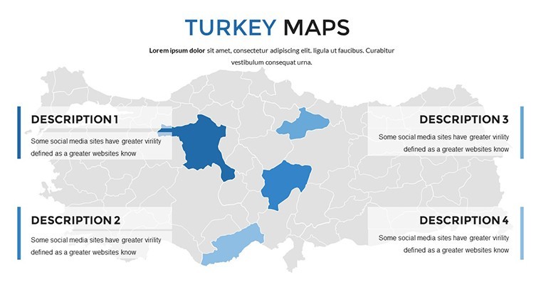
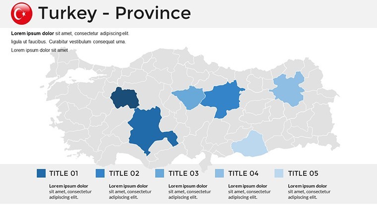
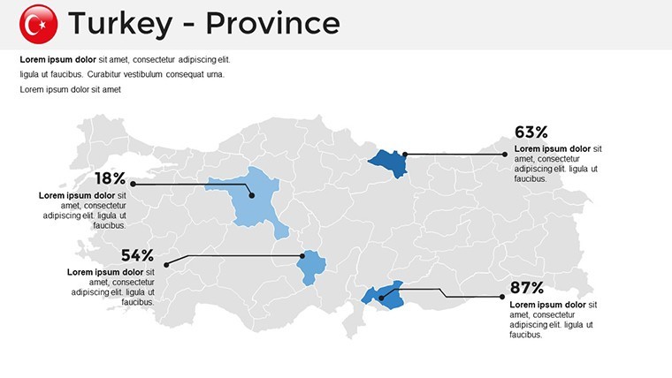
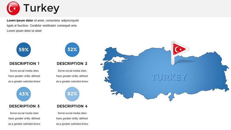
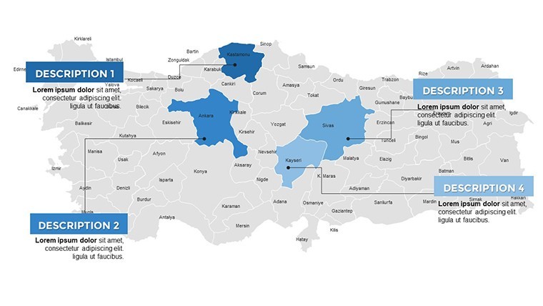
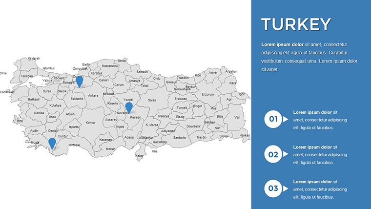
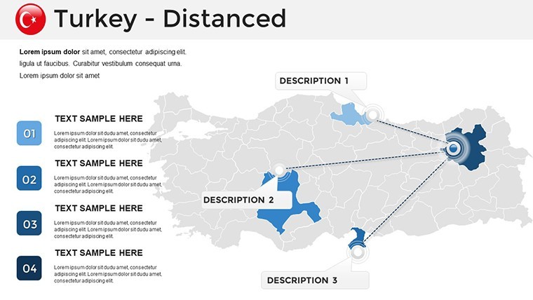
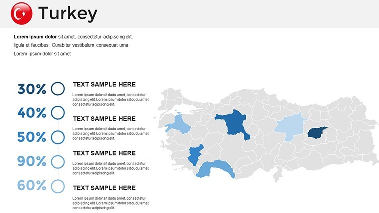
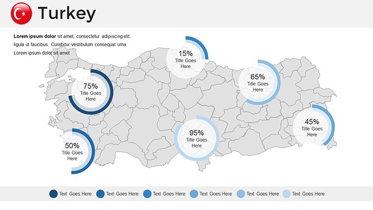
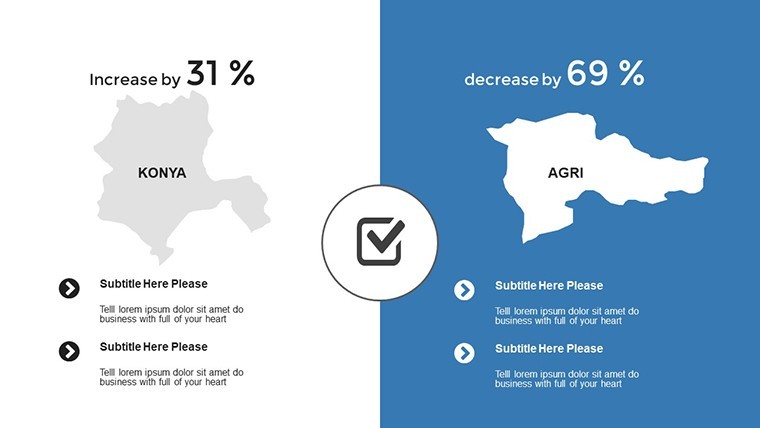
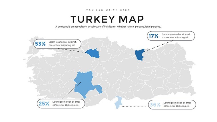
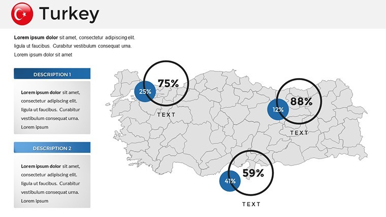
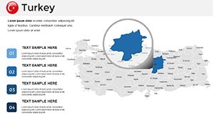
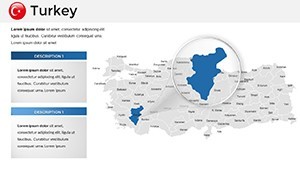
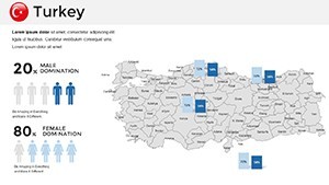
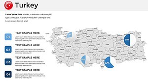
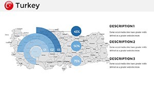
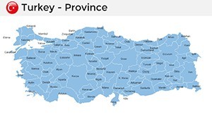
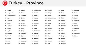
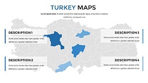
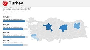
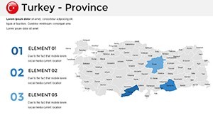
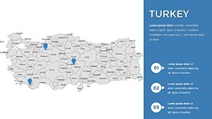
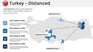
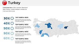
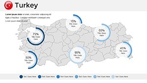
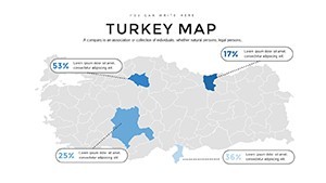
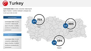
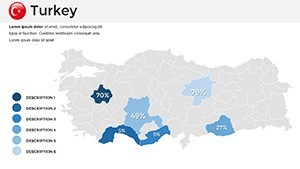
- Detailed Regional Breakdowns: Slides dedicated to provinces like Ankara and Izmir, with editable boundaries for highlighting political or cultural divisions.
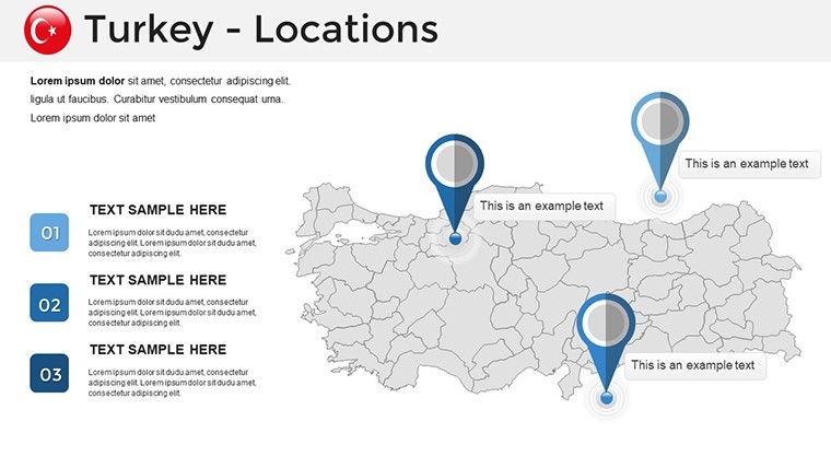
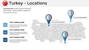
- Integrated Visual Aids: Incorporate icons for landmarks such as Hagia Sophia or the Bosphorus Bridge, enhancing thematic depth.
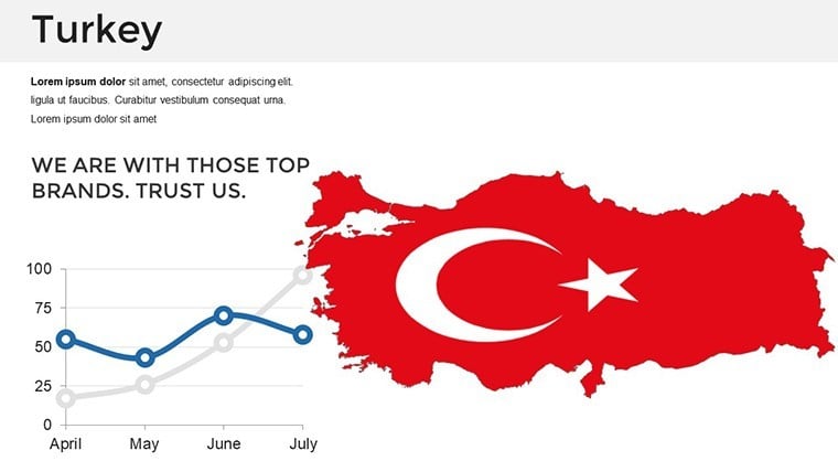
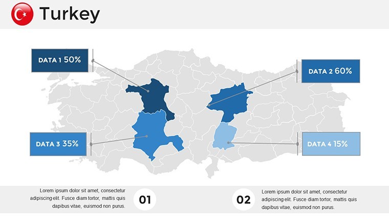
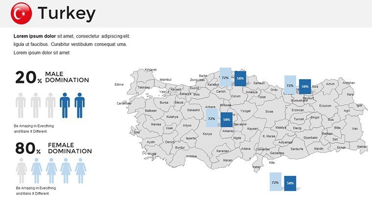
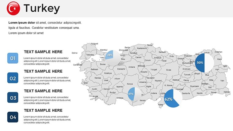
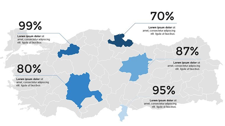
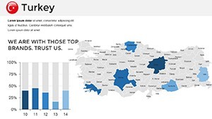
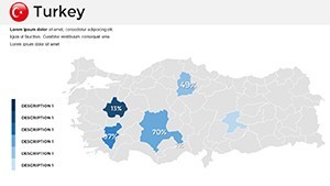
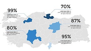
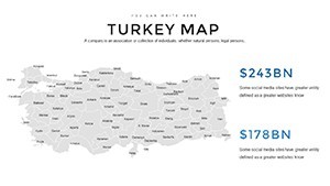
- Flexible Data Visualization: Built-in charts for metrics like GDP growth or population migration, sourced from reliable data like TurkStat.
- Theme Variety: Choose from modern minimalist to ornate Ottoman-inspired palettes to match your talk's tone.
- Multi-Platform Support: Effortless syncing across Apple devices, perfect for collaborative edits.
These elements combine to create presentations that are as functional as they are beautiful, addressing common frustrations like incompatible formats or bland visuals.
Diverse Use Cases: Tailoring Maps to Your Audience
From the classroom to the conference room, this template adapts effortlessly. An educator could animate the spread of the Byzantine Empire across slides, fostering interactive learning sessions that boost student retention. In marketing, visualize consumer trends in Eastern Anatolia to pitch targeted campaigns, drawing on insights from global firms like Unilever's regional strategies. For tourism pros, craft compelling narratives around the Turquoise Coast, complete with route planners that entice potential visitors. Even in diplomacy, use it to map trade agreements under the Belt and Road Initiative, providing clear visuals that facilitate understanding. Each scenario leverages the template's strengths to solve specific challenges, like clarifying complex geographies or engaging diverse audiences.
Workflow Tips for Maximum Impact
- Select a base slide with Turkey's outline and import your dataset.
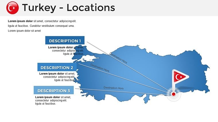
- Customize layers - add colors for regions or pins for cities like Bursa.
- Incorporate animations to reveal information progressively, keeping viewers engaged.
- Test on multiple devices to ensure consistency.
- Export or share directly from Keynote for immediate feedback.
This process integrates with your daily tools, streamlining preparation without steep learning curves.
Superior to Standard Options: Why Upgrade?
Basic Keynote maps fall short in detail and flexibility compared to our specialized offering. Aligned with cartographic best practices from organizations like the Turkish Geographical Society, this template includes pre-configured legends and scale bars absent in generics. Users experience enhanced professionalism, with feedback indicating improved audience interaction - often leading to better outcomes like secured funding or inspired collaborations. Grounded in expert design principles, it upholds high standards of expertise and reliability, making your content stand out in a sea of ordinary slides.
Launch Your Turkey-Focused Presentation Now
Harness the allure of Turkey's landscapes and legacies to elevate your talks from mundane to memorable. With this Keynote Maps Template, you're not just presenting - you're connecting worlds. Dive in and download to begin your journey of impactful storytelling.
Frequently Asked Questions
Can I alter the map colors to fit my brand?
Yes, all colors are fully customizable using Keynote's color picker for perfect branding alignment.
Does it support animations for map elements?
Absolutely, with built-in options for fading regions or zooming into specifics.
Is this template suitable for non-English presentations?
Yes, labels can be edited in any language, making it versatile globally.
How do I add my own icons or images?
Drag and drop directly onto slides; the template scales them automatically.
What file formats are compatible for data import?
Supports CSV, Excel, and direct copy-paste from web sources.