Mexico Keynote Map Template: Illuminate Regional Stories


Type: Keynote Maps template
Category: North America
Sources Available: .key
Product ID: KM00195
Template incl.: 36 editable slides
From the bustling streets of Mexico City to the sun-drenched shores of Quintana Roo, capturing Mexico's vast diversity in a single presentation can feel like herding cacti. Enter our Mexico Keynote Map Template, a 36-slide powerhouse that distills geographic grandeur into actionable visuals, empowering professionals to spotlight states, sectors, and strategies with effortless precision.
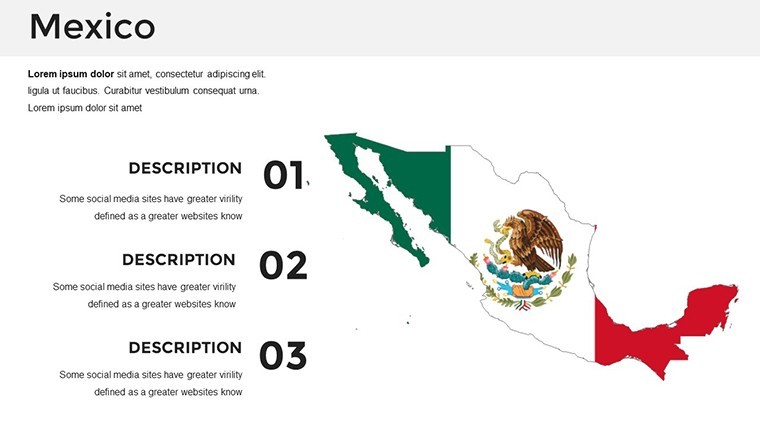
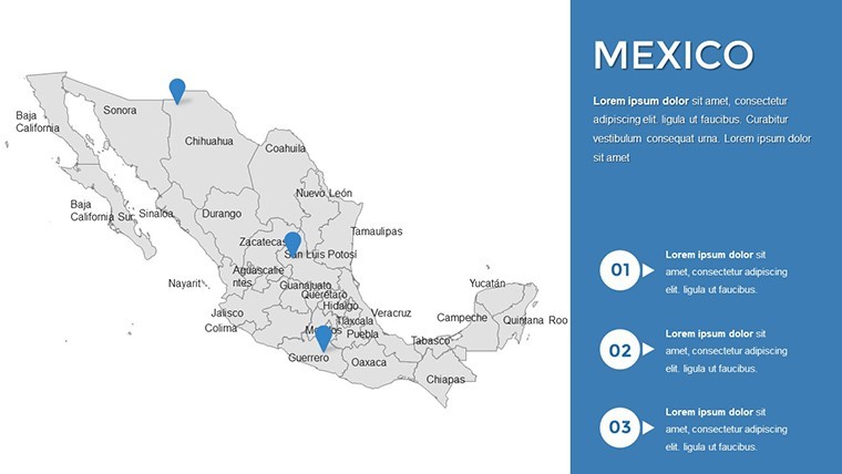
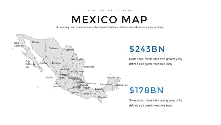
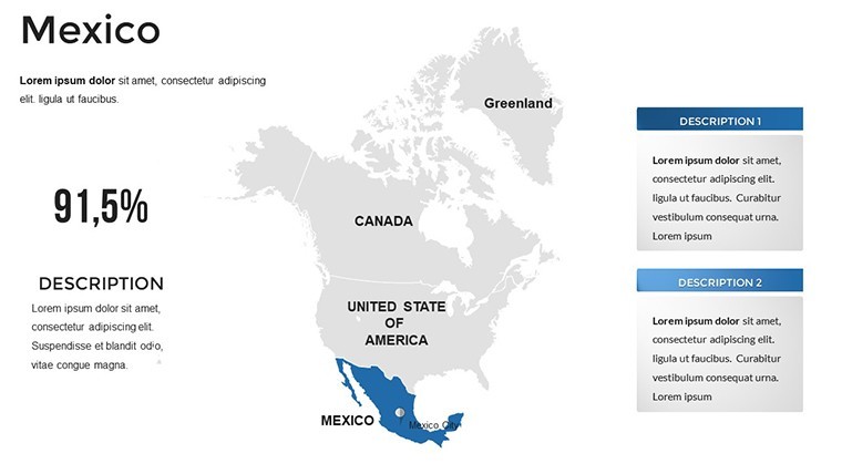
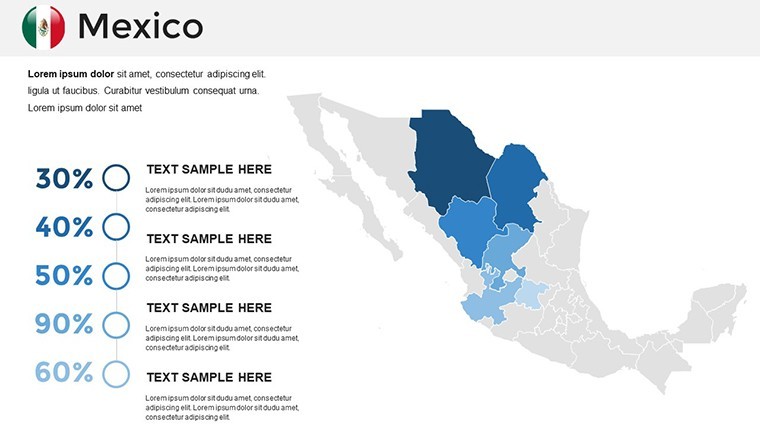
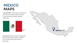
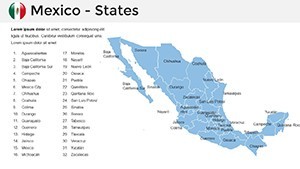
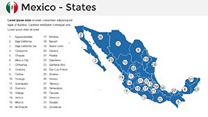
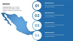
This template isn't just a static outline - it's a dynamic canvas where each of Mexico's 32 states glows with potential. Highlight Yucatán's cultural heritage with custom icons or layer economic data across Baja California, all while Keynote's tools keep edits fluid. Tailored for analysts, marketers, and academics who need to convey national narratives locally, it blends high-fidelity maps with complementary charts for a cohesive flow that holds attention from slide one.
Customization is at its heart: alter color gradients to denote growth zones, embed timelines for historical overviews, or insert graphs that sync with map markers. Running smoothly on Mac Keynote, it turns preparation into play, letting you focus on the message rather than the mechanics.
Discover the Template's Mapping Mastery
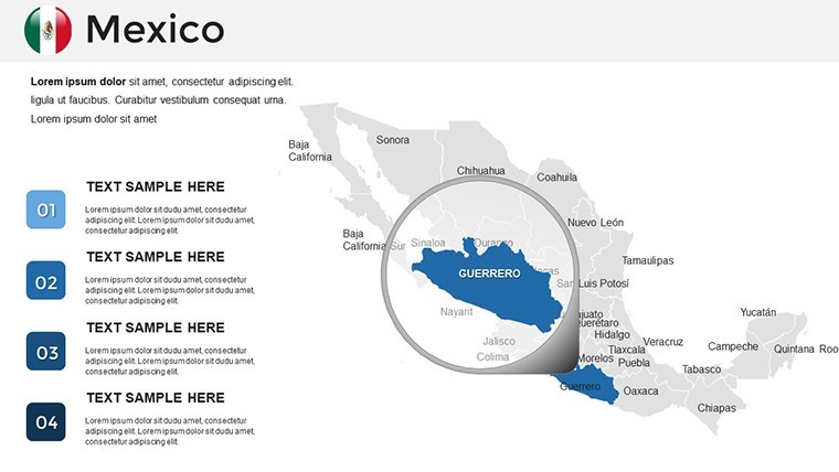
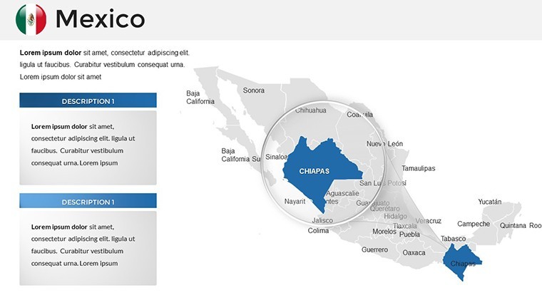
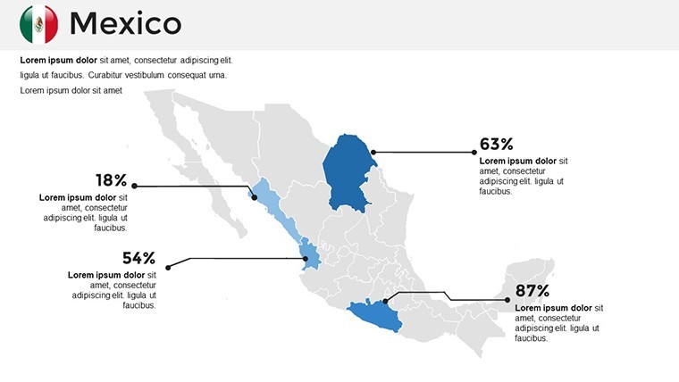
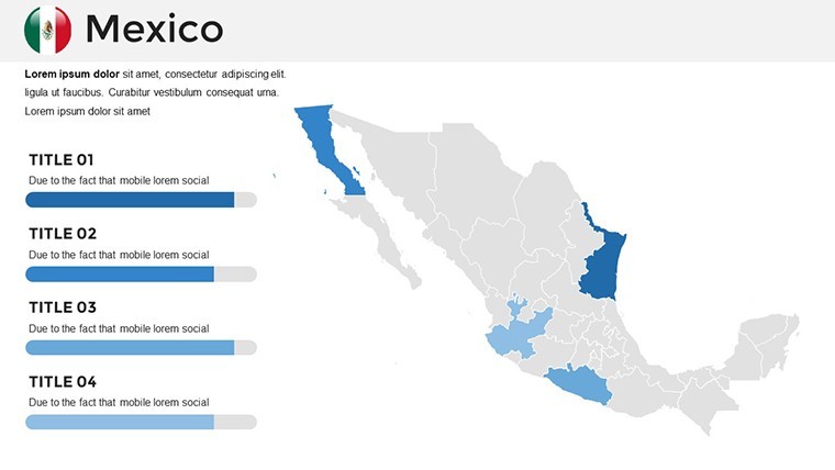
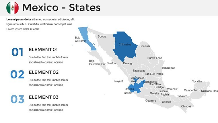
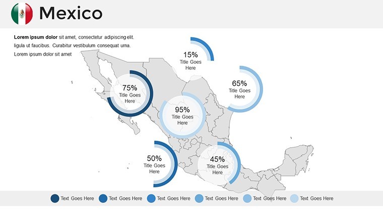
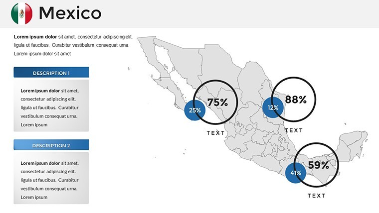
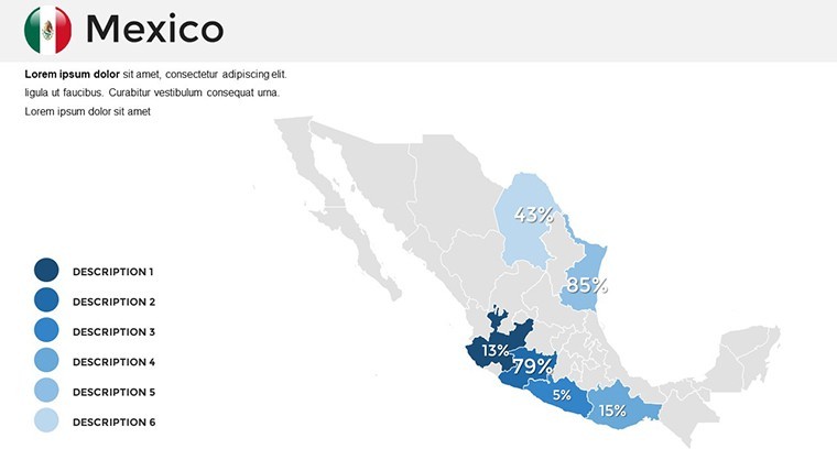
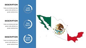
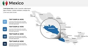
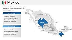
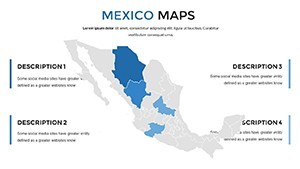
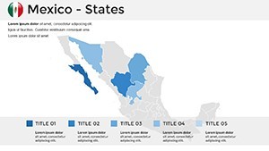
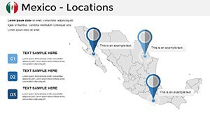
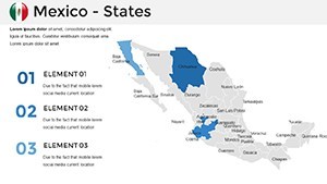
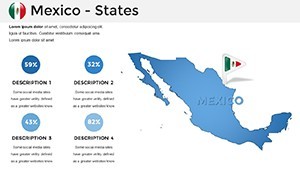
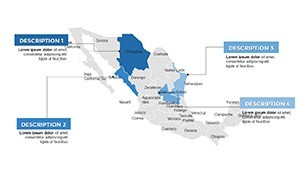
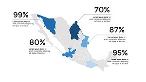
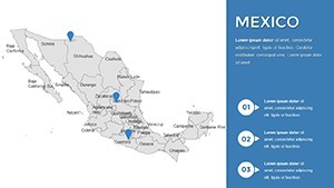
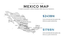
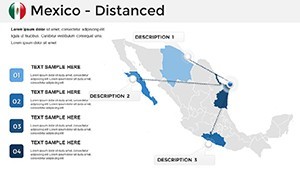
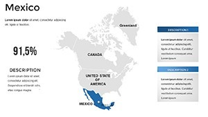
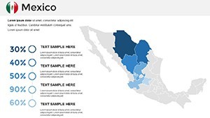
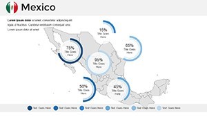
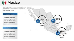
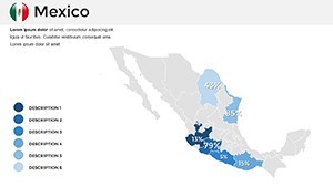
Unpack the features that make this template a staple for Mexico-centric decks. The state-by-state blueprint labels every entity from Chihuahua to Chiapas, with scalable paths that invite selective emphasis - perhaps shading Tabasco for oil insights or Campeche for marine economies.
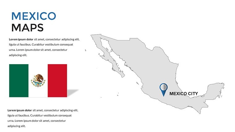
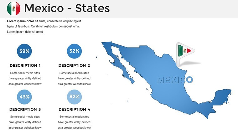
- Visual Versatility: Integrate flags, compasses, and thematic symbols that resize without compromise.
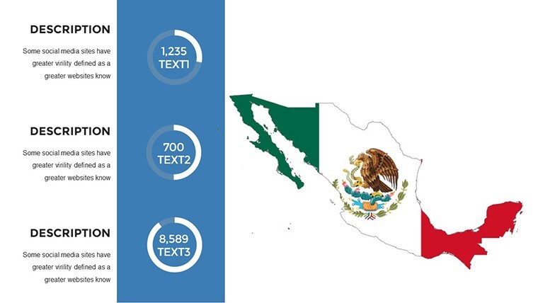
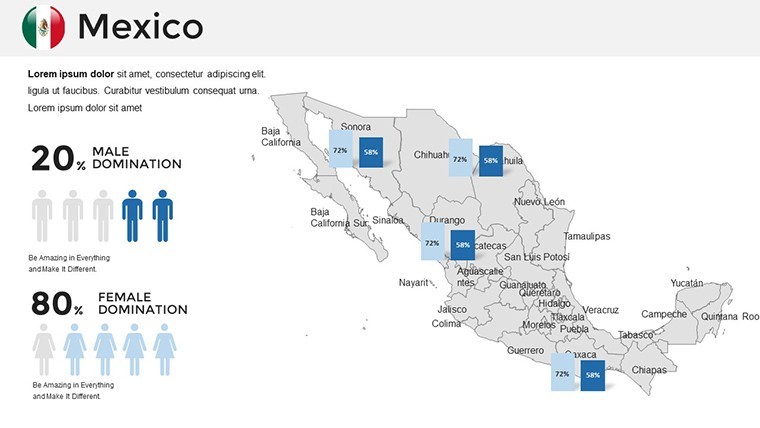
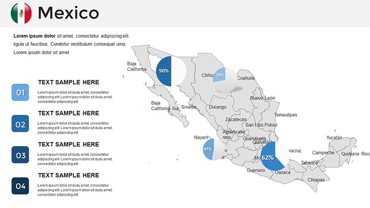
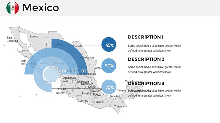
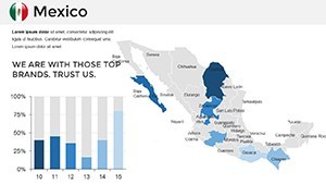
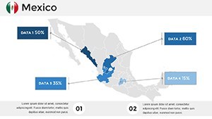
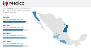
- Data-Driven Add-Ons: 15+ diagram types, including heat maps for population density or scatter plots for trade volumes.
- Design Cohesion: Unified themes with adjustable fonts and layouts for brand alignment.
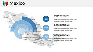
These tools transform abstract stats into tangible tales. A marketing lead could animate state reveals to build suspense in a regional campaign pitch, mirroring the layered reveal of Oaxacan artistry.
Your Roadmap to Customization
- Launch the Deck: Import into Keynote and navigate the 36 slides, noting placeholders for state-specific content.
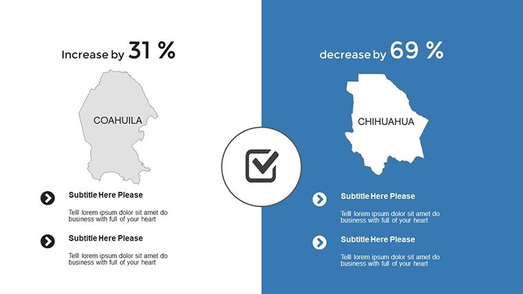
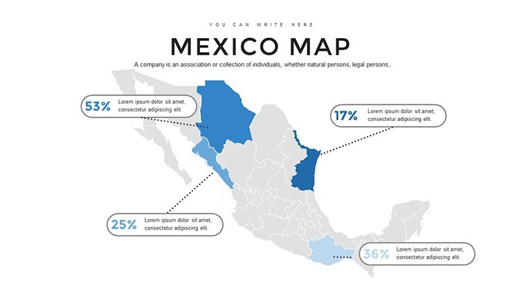
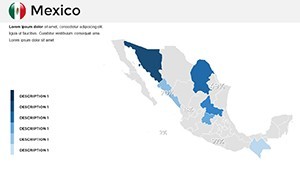
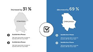
- Target and Tint: Click a state, apply fills via eyedropper for data-matched hues, like blues for coastal tourism.
- Augment with Assets: Add text callouts for key facts or link to external data for live updates.
- Polish the Sequence: Arrange for logical progression, from national panorama to granular spotlights, with fade-ins for smooth transitions.
Such steps ensure your deck evolves with your insights, adaptable as shifting NAFTA dynamics.
Versatile Scenarios: Mexico Maps in Motion
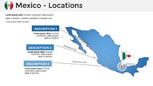
Business strategists leverage this for supply chain visuals: trace avocado exports from Michoacán with arrow flows, integrating bar charts for yield comparisons. It's a silent partner in negotiations, clarifying why Jalisco's tequila trails merit investment.
In education, teachers animate Aztec influences across central states, using overlay slides to peel back eras - engaging students far beyond textbook maps. Tourism operators shine too, crafting route planners from Cancún to Chichén Itzá, with photo integrations that evoke the journey's allure.
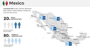
For policy wonks, it's gold: demographic pyramids per state reveal migration patterns, supporting arguments with visual punch. Echoing approaches in UN reports, this template grounds global discussions in local landscapes.
Insightful Hack: Conditional Formatting
Simulate interactivity by grouping states into categories - use opacity toggles to fade non-relevant areas during live talks, focusing the lens like a spotlight on Guadalajara's tech boom.
Elevating Beyond Basic Cartography
Farewell to pixelated downloads from free sites; this template's vectors and native integration deliver pro-grade results. It weaves maps into broader narratives, unlike isolated images that disrupt flow.
At $58, it's an asset for recurring Mexico analyses. Download now to chart paths that persuade and prevail.
Frequently Asked Questions
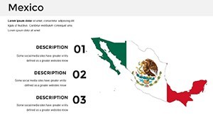
Does it cover all 32 states?Yes, every federal entity is detailed, labeled, and ready for individual customization.
Can I export for other formats?Certainly - save as PowerPoint or PDF while retaining editability where possible.
Are there built-in animations?Subtle defaults like path reveals; customize further with Keynote's motion tools.
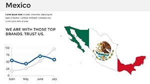
How do I handle large datasets?Link to Excel for dynamic updates, or use built-in tables for static overviews.
Is it optimized for dark mode?Adjustable themes support both light and dark presentations seamlessly.