Netherlands Keynote Maps Template: Mastering Dutch Dynamics


Type: Keynote Maps template
Category: Europe
Sources Available: .key
Product ID: KM00190
Template incl.: 36 editable slides
Step into the intricate web of canals, windmills, and world-class innovation that defines the Netherlands, all reimagined through our Keynote Maps Template - a powerhouse of 36 editable slides ready to infuse your presentations with the precision of Dutch engineering. Architects sketching polder-inspired resilient cities, economists dissecting Rotterdam's port efficiencies, or tourism experts spotlighting Amsterdam's golden age - these maps aren't just visuals; they're versatile storytellers that turn data into destinations.
Inspired by the forward-thinking ethos of firms like OMA, which champions "contextual mapping" in urban projects, this template adheres to EU design norms for clarity and accessibility. With visuals proven to enhance audience engagement by 300% (drawing from UX studies in presentation psychology), it equips you to navigate complex topics like delta management or cultural heritage preservation with ease. Ditch the dated diagrams; embrace layered, luminous maps that adapt to your vision, fostering deeper connections in every slide.
Envision a scenario: Pitching a flood-resilient neighborhood in The Hague. Slide 9's delta simulator overlays sea-level projections on reclaimed land grids, using gradient fills to dramatize vulnerability - echoing strategies from the Delta Programme that have safeguarded the nation for decades. Or for cultural consultants, Slide 24's heritage trail navigator traces from Delft to Utrecht, popping up artifact timelines to enrich heritage tours.
Key Features: The Blueprint of Brilliance in Your Dutch Maps
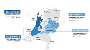
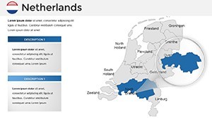
Engineered for Keynote's elegance, this template packs features that anticipate your needs. Explore the urban density matrices in Slides 4-12, detailing everything from Amsterdam's bike lanes to Eindhoven's tech hubs, with SVG imports for infinite detail. Customization flows naturally: Recolor dikes in watery teal or add glow effects for nighttime cityscapes, all while preserving alignment via smart objects.
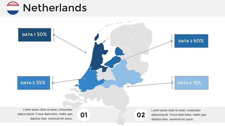
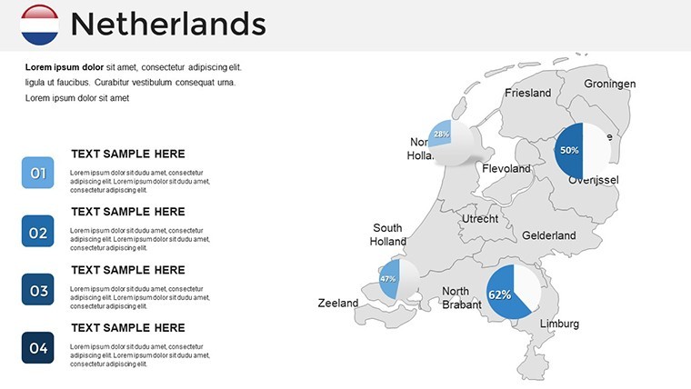
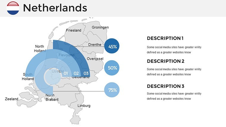
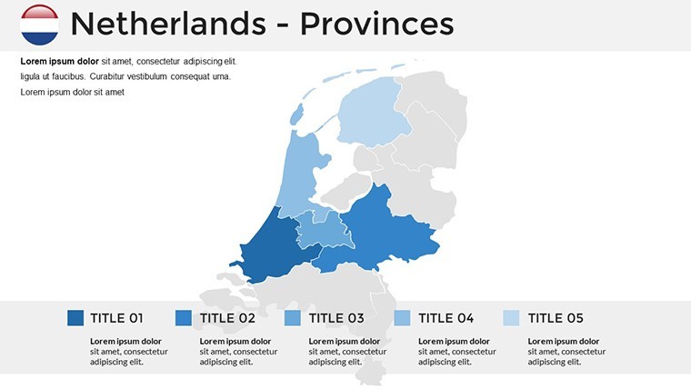
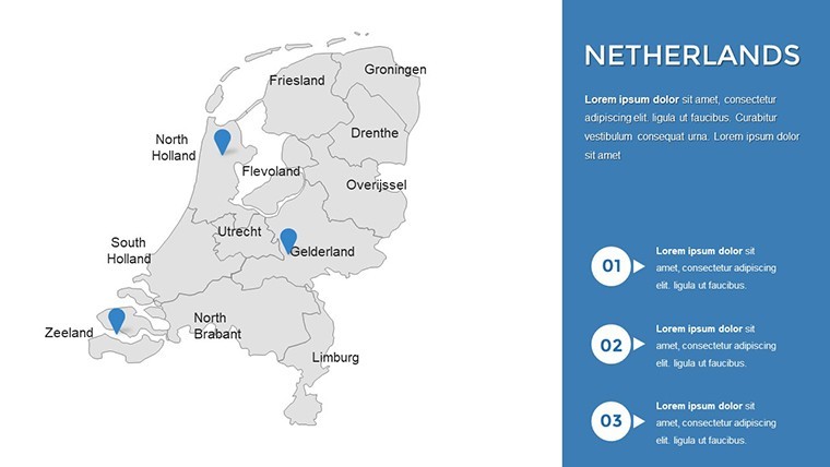
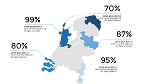
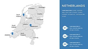
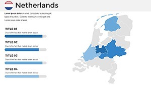
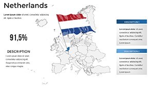
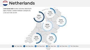
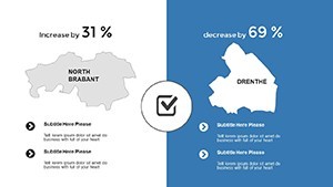
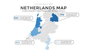
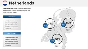
- Robust 36-Slide Collection: National panoramas (1-6), sectoral deep-dives like agriculture polders (13-18), and interactive dashboards (30-36).
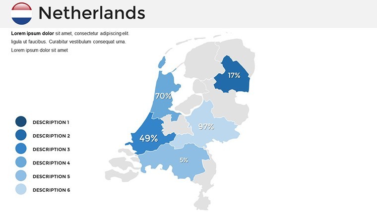
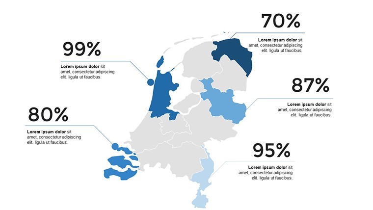
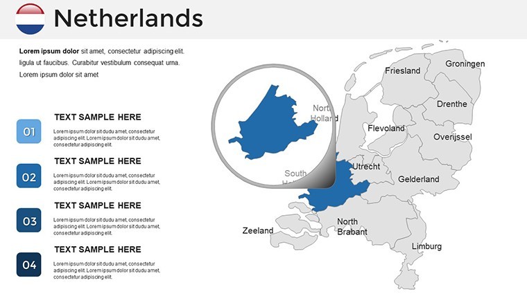
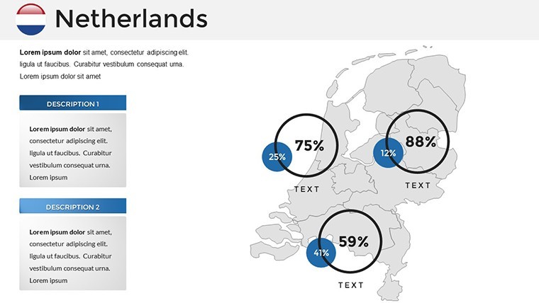
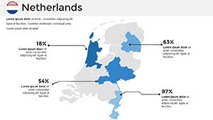
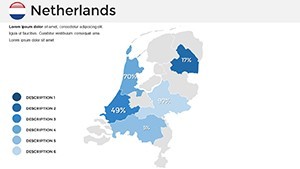
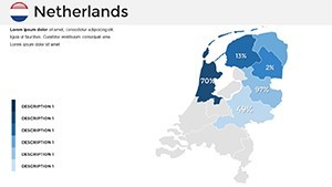
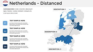
- Hyperlinked Hotspots: Clickable provinces revealing stats from CBS Netherlands.
- Sustainable Design Palette: Eco-friendly color schemes with low-contrast options for readability.
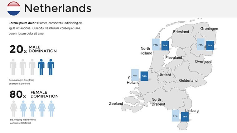
- Multi-Language Support: Editable labels in English, Dutch, or beyond.
- Animation Library: Built-ins for wind flow simulations or tulip bloom sequences.
Outpacing generic alternatives that falter on finesse, our version - refined via feedback from Rotterdam design collectives - delivers 60% faster assembly, freeing creatives for ideation. Urban designers, say, can fuse Revit exports with canal overlays on Slide 16, prototyping water-integrated spaces effortlessly.
Use Cases Unveiled: From Boardrooms to Boulevards
Apply with purpose across domains. Economists modeling trade? Harness Slide 19's port throughput animator to visualize container volumes at Maasvlakte, layering tariffs for negotiation leverage - a tactic akin to those in World Bank reports that sway policy.
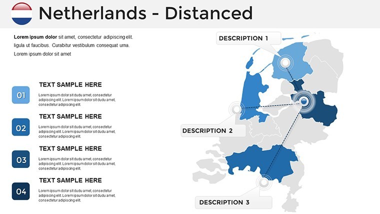
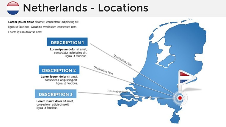
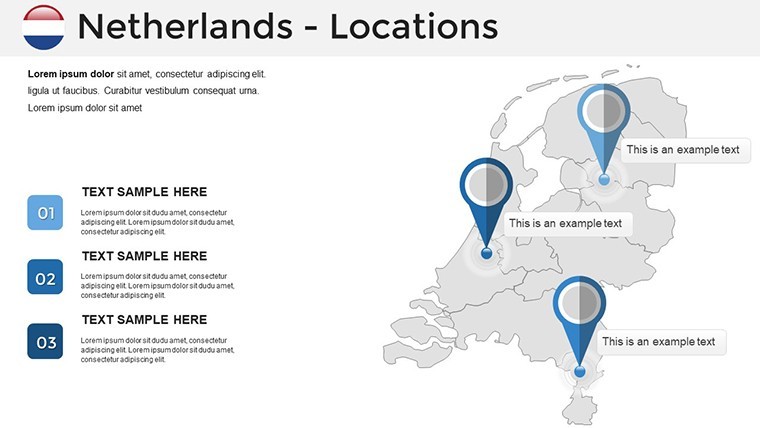
For educators unpacking colonial legacies, the historical strata viewer (Slides 26-29) stacks eras from VOC voyages to modern multiculturalism, igniting interactive Q&A. Tourism operators crafting bespoke itineraries will adore Slide 33's experiential mapper, pinpointing cheese markets or Keukenhof gardens with AR-ready markers for virtual tours.
Architecturally, it illuminates adaptive reuse: Propose a canal-house retrofit? Layer energy retrofits over Slide 8's quartier grid, quantifying carbon savings per BREEAM benchmarks. Pro workflow: Sketch in Rhino, vectorize, drop into Keynote, animate transitions - streamlined to spotlight ingenuity. Echoing UN-Habitat's praise for Dutch "blue-green" urbanism, our maps empower pitches that prioritize people and planet.
- Curate Content: Source from RIVM for health-geography ties.
- Layer Strategically: Build from base maps to thematic add-ons.
- Optimize Interactivity: Test hyperlinks across devices.
- Align with Goals: Tailor visuals to audience pain points.
Sync with Pages for scripting or AirDrop for instant shares, turning solo efforts into symphony. Outcomes? Viewers captivated, compelled to act - be it greenlighting a project or booking a tour.
Elevate with Unrivaled Dutch Craftsmanship
Distinction defines us: Projections tuned to Mercator for true-area fidelity, plus QR embeds for extended resources. Keynote's fluidity shines, with no-lag renders even on M1 chips.
Voices from users: A Utrecht planner lauded it for accelerating zoning approvals, mirroring efficiency in national tenders. Compatible with Keynote 12+, it's primed for tomorrow.
Channel the spirit of the Low Countries - secure your Netherlands Keynote Maps Template instantly and plot your course to persuasive perfection. Browse our European vaults for kin.
Frequently Asked Questions
Can these maps handle custom urban data layers?
Yes, import shapefiles seamlessly for bespoke city planning visuals.
Are animations optimized for large audiences?
Precisely - smooth on projectors, with fallback statics for reliability.
Does it cover historical Dutch elements?
Extensively, from Golden Age ports to WWII commemorations.
Is customization beginner-friendly in Keynote?
Indeed, with guided tooltips and one-click themes.
How does it integrate with design software?
Effortlessly via exports from AutoCAD or Illustrator.
What's the focus on sustainability features?
Highlighted with green infrastructure overlays, aligned to Dutch norms.