Croatia Keynote Maps: Transform Your Presentations with Vivid Geography


Type: Keynote Maps template
Category: Europe
Sources Available: .key
Product ID: KM00184
Template incl.: 36 editable slides
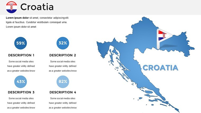
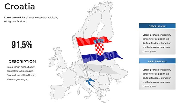
Imagine standing before a room full of potential clients, your screen lighting up with a detailed map of Croatia's jagged Adriatic coastline, historic inland cities, and lush national parks. Suddenly, your pitch isn't just words - it's a journey through one of Europe's most enchanting destinations. That's the power of the Croatia Keynote Maps template. Tailored for professionals who need to weave geography, history, or market insights into their stories, this collection of 36 editable slides turns dry data into dynamic visuals. Whether you're a sales director mapping out expansion opportunities along the Dalmatian shores or an educator tracing the steps of ancient trade routes, these maps make complex information accessible and unforgettable.
Built for Keynote users who value precision and flair, this template goes beyond basic outlines. Each slide offers layered elements you can tweak - adjust paths for regional highlights, swap icons for cultural symbols like Plitvice's waterfalls or Dubrovnik's walls, or overlay data points for tourism trends. No more wrestling with clunky drawing tools; instead, focus on crafting a narrative that resonates. Picture a corporate report where quarterly sales align with Croatia's wine regions, or a seminar where students explore the country's role in modern European politics. The result? Audiences lean in, questions spark, and your message sticks.
Discover the Core Features That Bring Croatia to Life
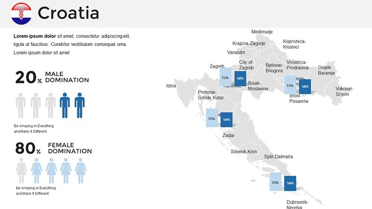
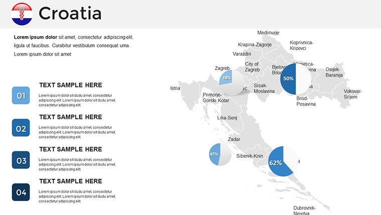
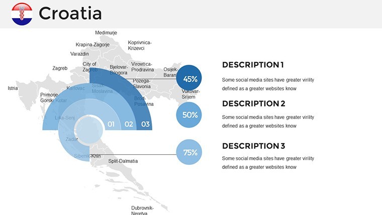
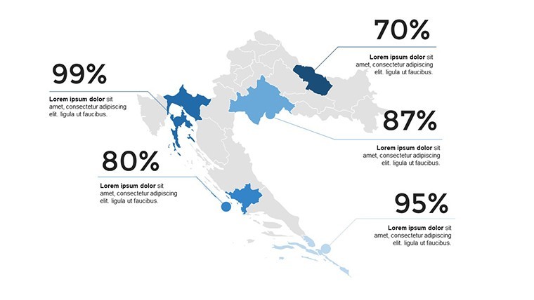
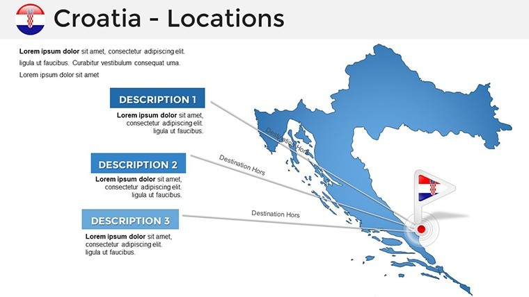
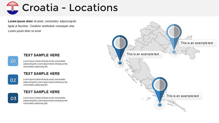
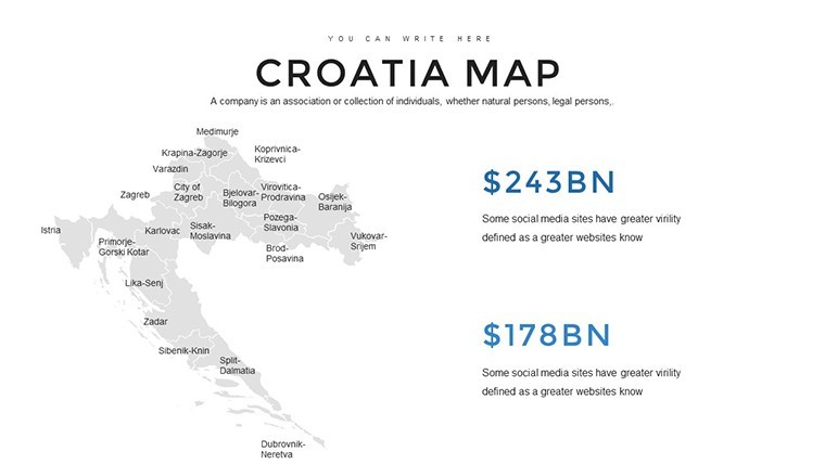
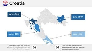
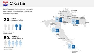
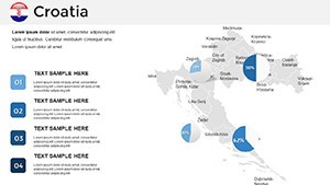
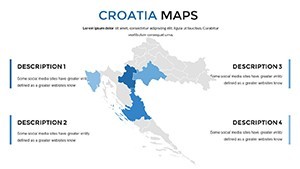
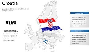
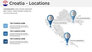
At the heart of this Keynote maps template lies a suite of thoughtfully designed elements that prioritize ease and impact. Start with the high-resolution vector maps covering the entire country, from Zagreb's urban buzz to the serene islands of Hvar and Korčula. These aren't static images - they're interactive canvases where you can animate paths to reveal historical migrations or economic corridors step by step.
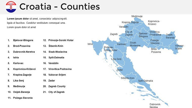
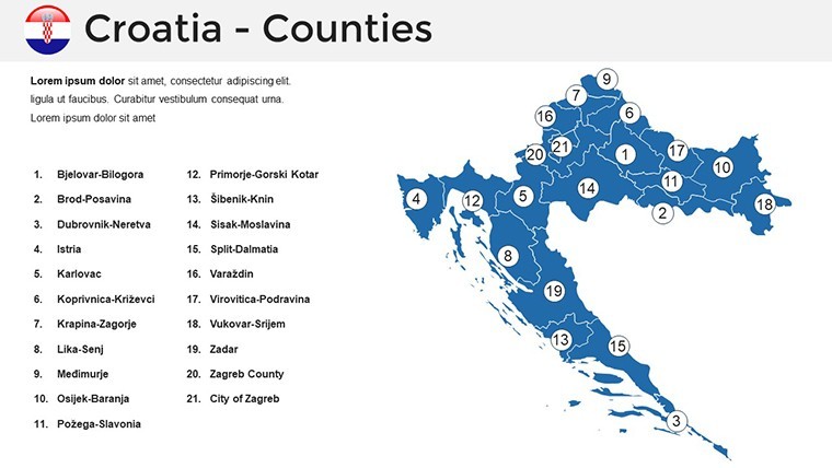
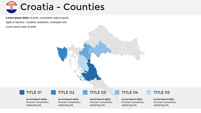
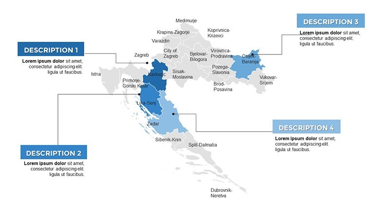
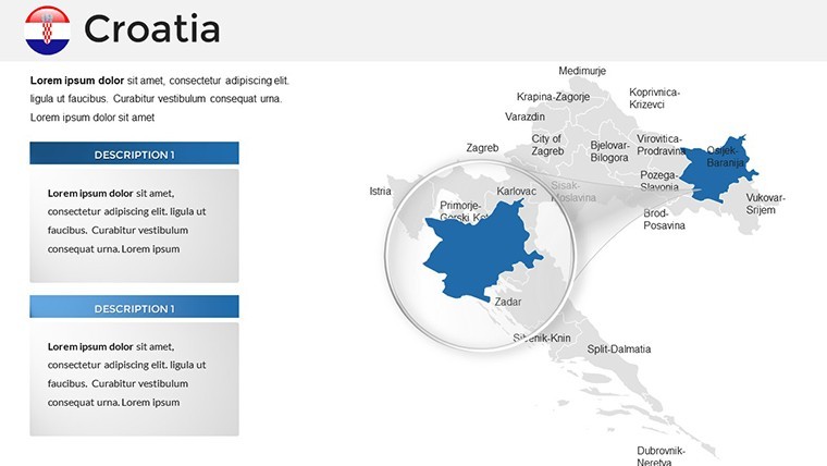
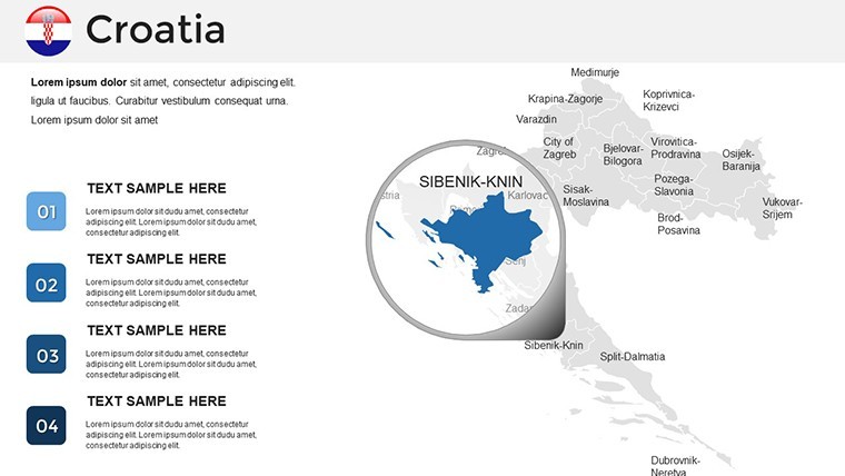
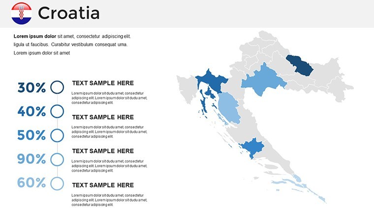
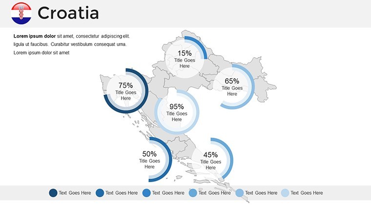
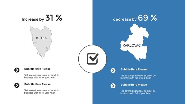
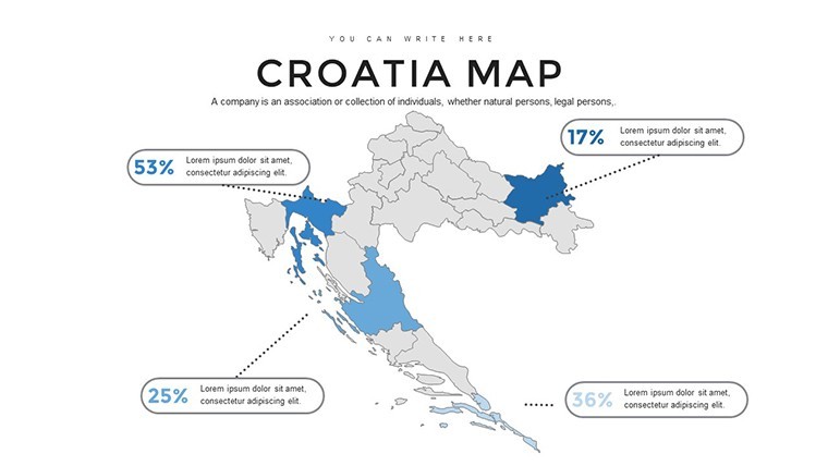
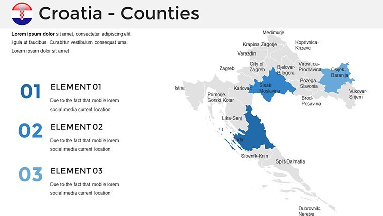
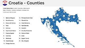
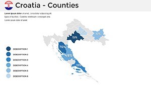
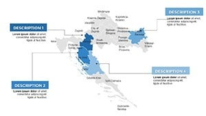
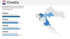
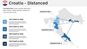
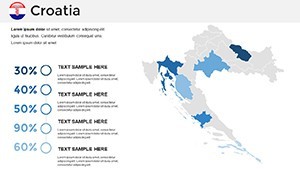
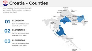
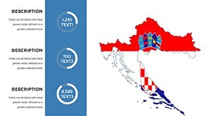
- Layered Regional Breakdowns: Dive into 10+ dedicated slides for key areas, like Istria's truffle-rich hills or Slavonia's golden plains. Peel back layers to focus on specifics, such as infrastructure networks or biodiversity hotspots.
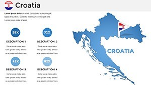
- Customizable Icons and Overlays: A library of 50+ thematic icons - think nautical motifs for coastal slides or architectural silhouettes for city tours - lets you personalize without starting from scratch.
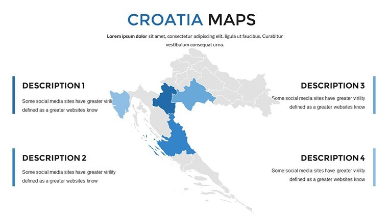
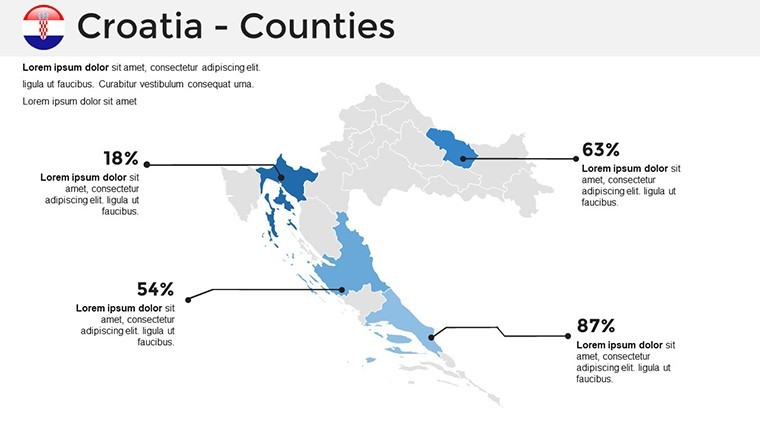
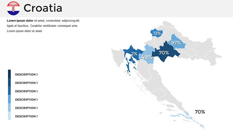
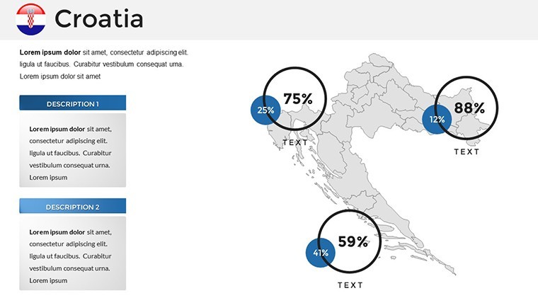
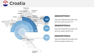
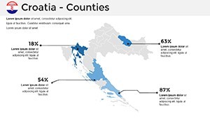
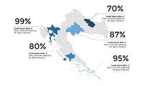
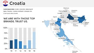
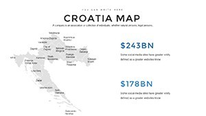
- Data Integration Tools: Embed charts seamlessly; for instance, pair a population density heatmap with bar graphs showing growth rates across counties.
Compatibility shines through too, working flawlessly on Keynote 2016 and later versions, ensuring your visuals pop on any Mac setup. And for those collaborative sessions, export options keep everything crisp in shared formats.
Why These Maps Elevate Everyday Presentations
Consider a marketing team unveiling a new tourism campaign. Slide one: A full-country overview with glowing entry points. Slide two: Zoom into Split's harbor, annotated with projected visitor flows. By slide five, interactive pop-ups reveal partnership opportunities. It's not just informative - it's persuasive, turning viewers into advocates.
Real-World Applications: From Boardrooms to Classrooms
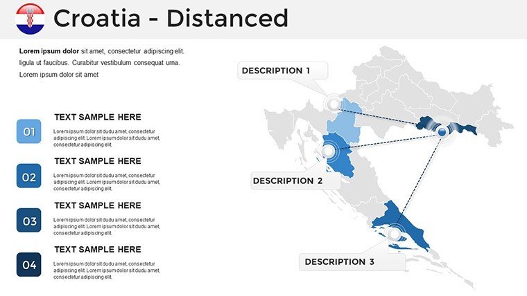
Versatility defines this template's appeal. In business settings, use it to illustrate supply chain routes snaking through Croatia's ports, highlighting efficiencies in real-time during investor calls. Educators might sequence slides to follow the timeline of Yugoslavia's dissolution, using animated borders to show territorial shifts without overwhelming young learners.
- Prepare Your Base: Open the template in Keynote and select a blank slide. Import your dataset - say, export stats from Excel - then drag it onto the map for instant alignment.
- Highlight Key Zones: Use the built-in selection tool to isolate regions; recolor Dubrovnik in brand reds to emphasize flagship projects.
- Add Narrative Layers: Insert text boxes with bullet-point insights, like "Key Economic Driver: Tourism contributes 20% to GDP here." Animate reveals for paced delivery.
- Test and Refine: Preview in presentation mode, adjusting opacity on overlays to ensure readability under varying lights.
For public speakers at conferences on sustainable development, these maps become storytelling anchors. Overlay environmental data on protected areas, guiding discussions on conservation efforts with visual clarity that words alone can't match.
Tailoring the Template to Your Unique Needs
Customization isn't an afterthought - it's embedded. Swap the default earthy tones for your company's palette via the color picker, ensuring cohesion with existing decks. Fonts scale effortlessly, from bold sans-serifs for headlines to elegant scripts evoking Croatian calligraphy for cultural nods.
Pro tip: Integrate with Keynote's transitions for subtle zooms that mimic flying over the Plitvice Lakes, drawing eyes exactly where you want them. Compared to piecing together free online maps, this saves hours while delivering professional polish - no pixelation or alignment headaches.
In one instance, a travel agency consultant adapted these slides for a client pitch, layering competitor analysis over Split's map to showcase untapped niches. The visual contrast sealed the deal, proving how targeted tweaks amplify persuasion.
Unlocking Deeper Engagement with Strategic Use
Beyond basics, explore advanced applications like comparative views. Duplicate a slide to juxtapose Croatia's map with neighboring Slovenia, using side-by-side layouts to discuss cross-border trade. Or, for internal training, build interactive quizzes: Clickable hotspots reveal fun facts, like the invention of the necktie in Zagreb.
This template shines in hybrid environments too - share via iCloud for remote teams to collaborate on annotations, keeping everyone aligned on regional priorities. It's about more than maps; it's crafting experiences that foster connection and comprehension.
Ready to map out your next success? Download the Croatia Keynote Maps template now and watch your presentations sail smoothly into engaged minds.
Frequently Asked Questions
What software is required to use this template?
This template is optimized for Apple Keynote versions 2016 and newer, ensuring smooth performance on macOS.
Can I edit the maps to fit my specific data?
Yes, all 36 slides are fully editable, allowing you to adjust paths, colors, and add custom data overlays effortlessly.
Is this suitable for non-geography focused presentations?
Absolutely - adapt it for business strategies, historical overviews, or cultural discussions by customizing icons and annotations.
How do I access the download after purchase?
Upon completion, you'll receive an instant download link for the .key file, ready for immediate use.
Are there icons included for Croatian themes?
The template features a curated set of 50+ icons, from coastal symbols to urban landmarks, all vector-based for scalability.